 Block
Block
Range, Ohio
10 topographic sheets cover this place, the earliest surveyed in 1906 and the latest in 1986. It stands in Range Township. It lies in ZIP code area 43140. The Survey maps it on the Midway quadrangle. It stands 1,014 feet above sea level.
Then and now
1906 to 1986The same ground, surveyed 80 years apart. Drag the handle to wipe between them. Both sheets are United States Geological Survey originals; neither has been altered.

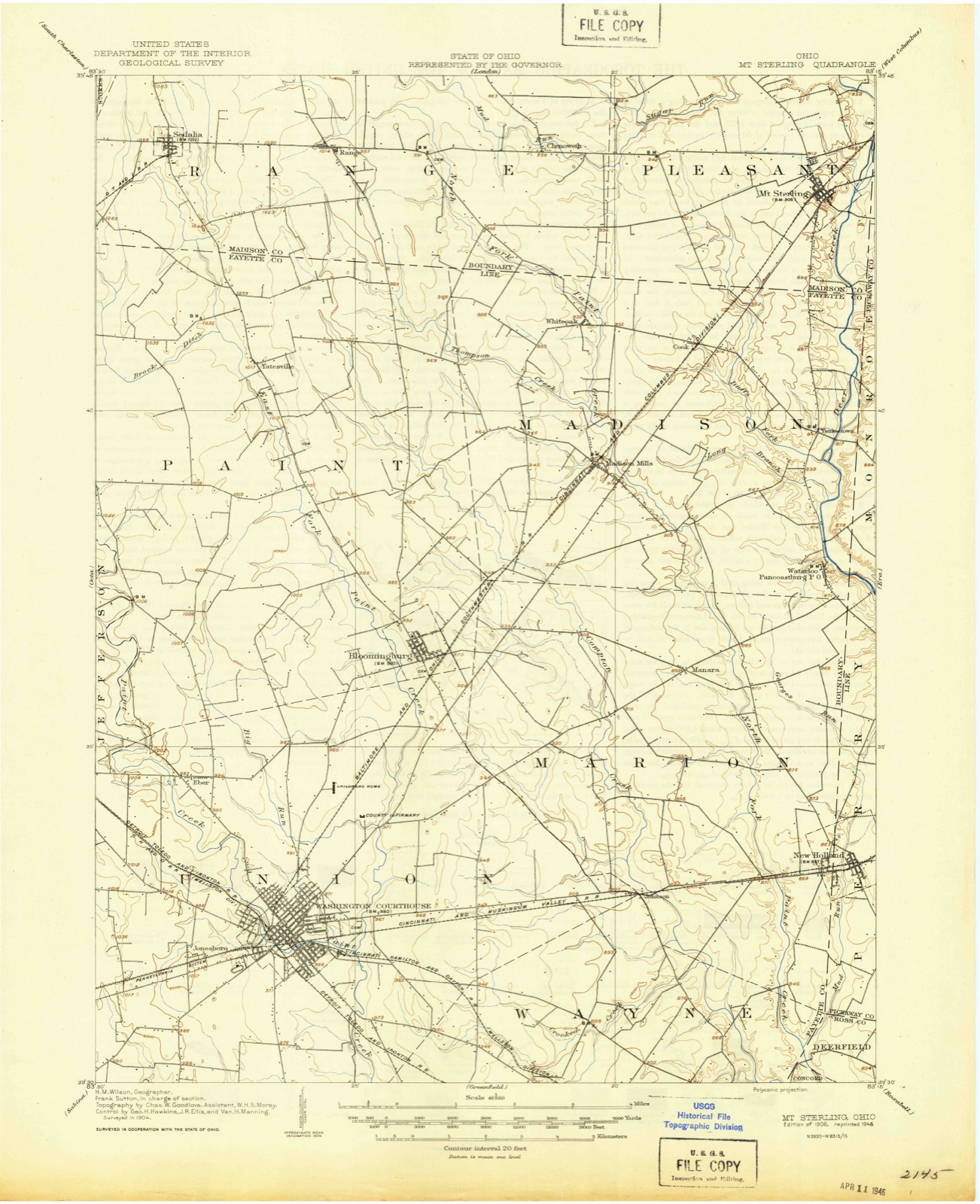
Topographic sheets covering this place
10 sheetsMatched by testing this settlement's coordinate against the published boundary of every sheet in the United States Geological Survey's historical collection. Each opens the scanned sheet at the Survey.
- 1906 USGS Mt Sterling quadrangle1:62500
- 1947 USGS Columbus quadrangle1:250000
- 1961 USGS Columbus quadrangle1:250000
- 1961 USGS Midway quadrangle1:24000
- 1961 USGS Midway quadrangle1:24000
- 1962 USGS Columbus quadrangle1:250000
- 1967 USGS Columbus quadrangle1:250000
- 1967 USGS Columbus quadrangle1:250000
- 1986 USGS Springfield quadrangle1:100000
- 1986 USGS Springfield quadrangle1:100000







In the county-history sources
6,669 words on this townshipHistory of Madison County, Ohio : Its People, Industries and Institution with Biographical Sketches of Representative Citizens and Genealogical Records of Many of the Old Families, published 1915 names this settlement in its chapter on Range Township. These are the passages that mention it, exactly as the scans read.
Range township occupies a central position in the extreme southern tiers of townships in the county, being bounded on the west by Stokes township, on the north by Paint and Oak Run townships, on the east by Pleasant township and on the south by Fayette county. This township was not one of the first townships organized immediately after the organization of the county, but was early erected and put into working order. Among the commissioners' records the following is found under date of December 7, 1812:
Passage source: History of Madison County, Ohio : Its People, Industries and Institution with Biographical Sketches of Representative Citizens and Genealogical Records of Many of the Old Families, published 1915.
The geographical position of this township and the natural quality of its soil are such as to attract early settlement. William M. Linton was probably the first actual settler on the territory that was later to be erected into Range township. He was born in England about 1753, emigrated to Virginia, there married Mary Williams and settled in Hardy county. About 1797 they emigrated to Ohio and settled in Ross county. In 1800-01 they removed from thence to Madison county, settling a short distance south of where Sedalia is now situated, and resided there until his death, in 1835. All his
Passage source: History of Madison County, Ohio : Its People, Industries and Institution with Biographical Sketches of Representative Citizens and Genealogical Records of Many of the Old Families, published 1915.
Betsey Linton. She died about 1S35. He married, for his second wife, Nancy Wingate, by whom he had two children. They remained in this township until about 1867. when they removed to Yellow Springs. Ohio, where his wife died in 1879, and he in 1880, aged ninety-five years. He was a blacksmith by trade and followed it in connection with farming throughout his life. Peter Moneyhorn settled in this township in about 1806. Little is known of him. except that he was an eccentric character and indulged a great deal in writing poetry or making rhymes and funny expressions, to the great amusement of those about him. It is thought that, after a few years' residence here, he moved away. Archibald Stewart settled just south of William Linton, probably in 1806-08, and married Sarah Linton. He was a very energetic, good business man, and became an extensive stock dealer and a large landowner. He finally moved to Bloomingsburg, Fayette county, where he died.
Passage source: History of Madison County, Ohio : Its People, Industries and Institution with Biographical Sketches of Representative Citizens and Genealogical Records of Many of the Old Families, published 1915.
Machine-read from a century-old scan, so expect the errors a machine makes: misspelled names, dropped words, stray characters.
Read the whole chapter on Range Township - it names this place 19 more 19 times.
Specimens collected near this place
12 of 121 shownRegional context, not property-specific evidence. Museums hold 121 specimens collected within 10 miles of Range between 1898 and 1972: 112 Animalia, 6 Plantae, 2 Unrecorded, 1 Fungi. 12 distinct Species records are shown. Collected by Brommer, R. & Moerchen, R. (Richard), Charles O. Wingo Jr., H.H. Ross and others. Each is a physical object with a catalogue number, and each entry opens the museum's record. This is what was collected and kept, not a survey of what lives here - nothing can be concluded from a species being absent.
| Image | Species | Year | Collected by | Where, as recorded |
|---|---|---|---|---|
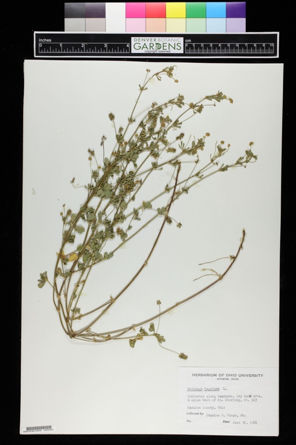 | Medicago lupulina L. | 1961 | Charles O. Wingo Jr. | Route 323, 4 miles west of Mount Sterling |
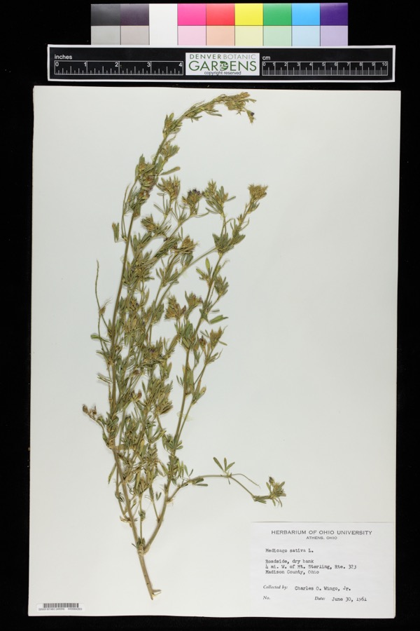 | Medicago sativa L. | 1961 | Charles O. Wingo Jr. | Roadside, dry bank 4 miles west of Mt. Sterling, Route 232, Madison County, Ohio. |
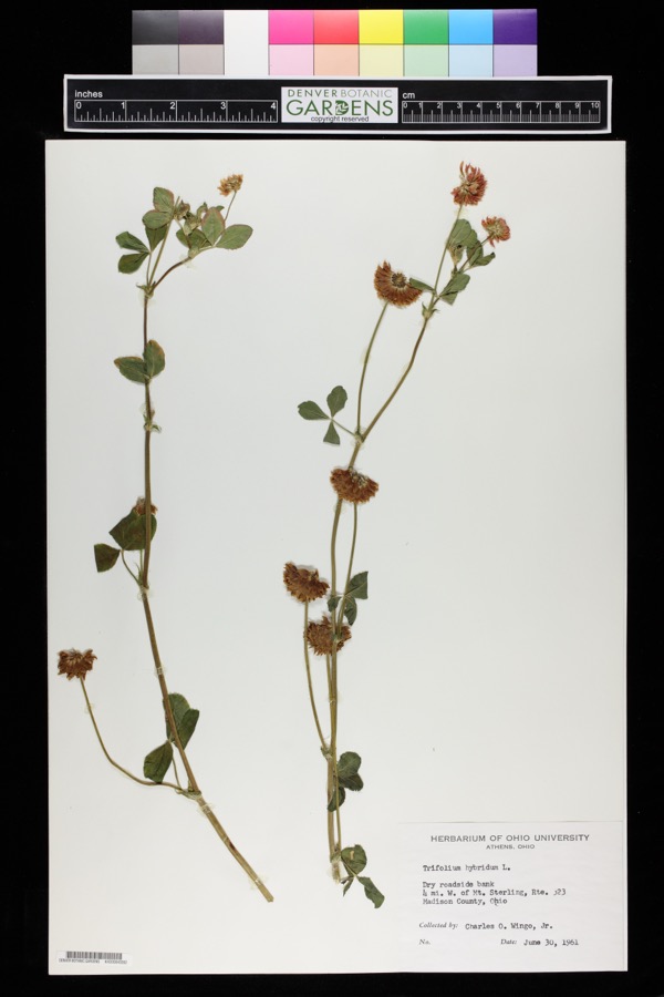 | Trifolium hybridum L. | 1961 | Charles O. Wingo Jr. | Dry roadside bank, 4 miles west of Mt. Sterling, route 323, Madison County, Ohio. |
 | Ptilostomis ocellifera (Walker, 1852) | 1898 | Scott O'Dee | |
| Ichneumonidae | 1925 | Pallister, J. C. (John C.) | Madison Co., OH | |
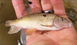 | Erimyzon oblongus claviformis (Girard, 1856) | 1927 | Trautman, M. B. (Milton Bernard) & Franks, R. W. (Roscoe W.) | Walnut Run, north Paint township, ~3.3 miles SW of London OH, Paint township |
 | Notropis heterolepis Eigenmann & Eigenmann, 1893 | 1927 | Trautman, M. B. (Milton Bernard) & Franks, R. W. (Roscoe W.) | Walnut Run, north Paint township, ~3.3 miles SW of London OH, Paint township |
 | Necturus maculosus maculosus (Rafinesque, 1818) | 1929 | Wickliff, E. L. (Edward L.) | Oak Run, Madison Co., Ohio |
 | Orconectes rusticus (Girard, 1852) | 1938 | R. Rhoades | Paint Creek, Paint Township |
 | Ambloplites rupestris (Rafinesque, 1817) | 1940 | Trautman, M. B. (Milton Bernard) & Wickliff, E. L. (Edward L.) | Deer Creek, ust SR 56, 0.6 mile east of Mount Sterling OH, Pleasant Township |
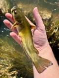 | Ameiurus natalis (Lesueur, 1819) | 1940 | Trautman, M. B. (Milton Bernard) & Wickliff, E. L. (Edward L.) | Deer Creek, ust SR 56, 0.6 mile east of Mount Sterling OH, Pleasant Township |
 | Campostoma anomalum anomalum | 1940 | Trautman, M. B. (Milton Bernard) & Wickliff, E. L. (Edward L.) | Deer Creek, ust SR 56, 0.6 mile east of Mount Sterling OH, Pleasant Township |
All 121 specimens within 10 miles, at the Global Biodiversity Information Facility.
Storms near this place
2 since 2015Regional context, not property-specific evidence. The National Weather Service names Range in 2 storm reports between 2015 and 2022: 2 thunderstorm wind. No death or injury is recorded in these reports. Each account below is quoted exactly as the forecast office filed it, from the NOAA Storm Events Database, and each date opens the federal record of that event.
Nearest settlements
The eight closest, with where each one stands in the county. Distances are straight-line, computed from the Geographic Names Information System coordinates.
| Map | Place | Distance | Sheets |
|---|---|---|---|
| Bethel | 1.7 miles | 10 | |
| Midway | 2.8 miles | 10 | |
| Chenoweth | 3.6 miles | 10 | |
| Nioga (historical) | 6.6 miles | 11 | |
| Newport | 7.4 miles | 11 | |
| Chrisman | 7.5 miles | 11 | |
| Burr Oaks Heights | 8.1 miles | 10 | |
| McClimansville | 8.1 miles | 10 |
Elsewhere
Matched on this settlement's Geographic Names Information System number rather than its name, so it cannot be a different place of the same name in another state.
| Wikipedia article on Range | An encyclopaedic summary. Its text is share-alike, so it is linked here rather than copied. |
| Wikidata item Q7292658 | The structured record the population and elevation above come from. Public domain (CC0). |
Provenance
This settlement is recorded in the Geographic Names Information System as feature 1070908. The sheet list is computed by point-in-boundary test against the United States Geological Survey's historical topographic inventory. Both are works of the United States government and carry no copyright under 17 U.S.C. 105.
Specimens. Global Biodiversity Information Facility (GBIF), https://www.gbif.org/. Only records licensed CC0 or CC BY are used. Records licensed CC BY-NC are excluded because this site carries advertising. Images are checked individually and any whose licence is non-commercial, no-derivatives or unreadable is refused.
Storms. NOAA National Centers for Environmental Information, Storm Events Database https://www.ncei.noaa.gov/stormevents/ A work of the United States government, no copyright under 17 U.S.C. 105. Narratives are quoted verbatim from the National Weather Service report and are not edited or summarised.