 Block
Block
Reesville, Ohio
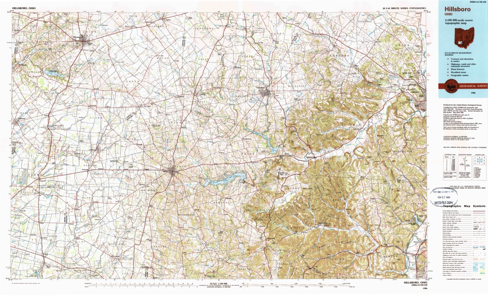
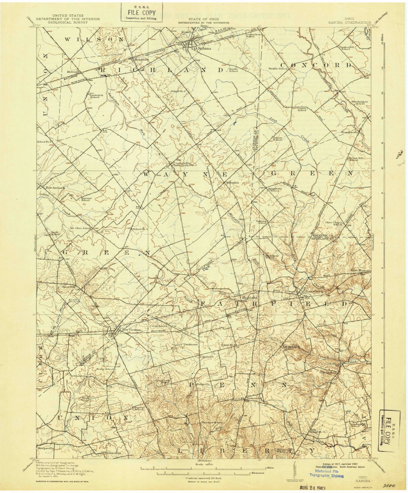
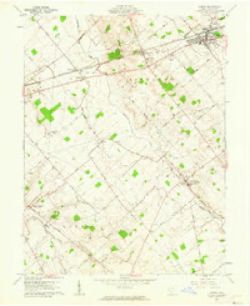
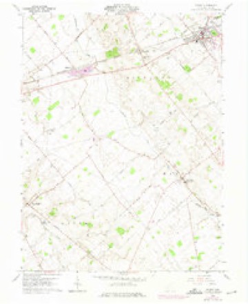
11 topographic sheets cover this place, the earliest surveyed in 1917 and the latest in 1986. It stands in Richland Township. It lies in ZIP code area 45166. The Survey maps it on the Sabina quadrangle. It stands 1,083 feet above sea level.
Then and now
1917 to 1986The same ground, surveyed 69 years apart. Drag the handle to wipe between them. Both sheets are United States Geological Survey originals; neither has been altered.
Topographic sheets covering this place
11 sheetsMatched by testing this settlement's coordinate against the published boundary of every sheet in the United States Geological Survey's historical collection. Each opens the scanned sheet at the Survey.
- 1917 USGS Sabina quadrangle1:62500
- 1943 USGS Sabina quadrangle1:62500
- 1947 USGS Columbus quadrangle1:250000
- 1961 USGS Columbus quadrangle1:250000
- 1961 USGS Sabina quadrangle1:24000
- 1961 USGS Sabina quadrangle1:24000
- 1962 USGS Columbus quadrangle1:250000
- 1967 USGS Columbus quadrangle1:250000
- 1967 USGS Columbus quadrangle1:250000
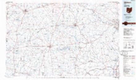
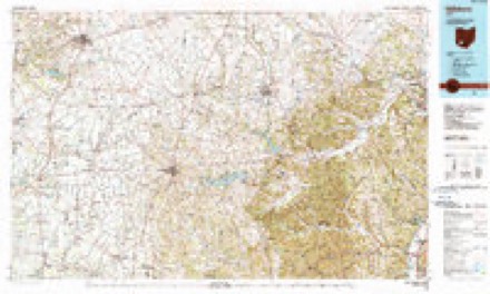
- 1986 USGS Hillsboro quadrangle1:100000
- 1986 USGS Hillsboro quadrangle1:100000





What happened here
An account from the chapter on Richland township, The inset identifies its exact source book and publication year.
Nati'Rai. Tea Tubes
The township has good drainage through the waters of Lee's creek in the sonth and Rattlesnake creek in the northeast corner. As tributaries to this latter creek and serving as an excellent drain for the eastern part, are Palmer's branch. Wilson's branch and Grassy branch, and the western part is drained by Anderson's and Todd's fork.
In the county-history sources
77,341 words on this townshipThe History of Clinton County, Ohio, published 1882 names this settlement in its chapter on Richland Township. These are the passages that mention it, exactly as the scans read.
Lucinda (Ruble) Morton. He (Richard) was born in the same township and was a son of Joab Morton, of Kentucky, who settled in this county about 1813. Richard Morton was married to Lucinda, the daughter of William Ruble, an old settler in the county. To Richard Morton and wife ten children were boin, eight of whom are living, viz., W. R., Sarah J., Cynthia A., John H., James M., Richard, Elizabeth and Mary B.; Lucretia and Isaiah deceased. Mrs. Morton died in 1861. The boyhood of our subject was passed on the farm, and in the district schools received his literary education. At the age of twenty-eight years, he began the study of medicine under a learned physician, who was his preceptor until he entered the Cincinnati School of Medicine and Surgery during the term of '69 and '70, from which institution he graduated and immediately entered upon his profession at Centerville, Ohio, for four years, when he removed to Reesville, where he has since attended to the demands of his practice.. The Doctor is a member of the Clinton County Medical Association, to which he has belonged almost from its organization. He is a worthy member of the Centerville subordinate Lodge of I. O. 0. F., No. 531, and also of the Sabina Encampment, No. 182. In 1862, while in Henry County, Iowa, the Doctor volunteered in Company B, of the Twenty-fifth Iowa Volunteer Infantry, for three years. He saw active service the whole time, and passed through about thirty engagements. He was honorably discharged in 1865. January 9, 1867, he was married to Miss Ellen, daughter of Isaac Johnson, of Clinton County, Ohio, who has borne him five children - four living, viz., Catherine L., Oliver P., Angie and Leslie ; Richard, deceased. The Doctor and his estimable wife are worthy members of the Christian Church of Reesville.
Passage source: The History of Clinton County, Ohio, published 1882.
Machine-read from a century-old scan, so expect the errors a machine makes: misspelled names, dropped words, stray characters.
Read the whole chapter on Richland Township - it names this place 22 more 22 times.
Specimens collected near this place
12 of 196 shownRegional context, not property-specific evidence. Museums hold 196 specimens collected within 10 miles of Reesville between 1892 and 1974: 183 Animalia, 8 Fungi, 5 Plantae. 12 distinct Species records are shown. Collected by A. R. Gaufin, A.R. Gaufin, H.H. Ross, Allen, A. (Avery) and others. Each is a physical object with a catalogue number, and each entry opens the museum's record. This is what was collected and kept, not a survey of what lives here - nothing can be concluded from a species being absent.
| Image | Species | Year | Collected by | Where, as recorded |
|---|---|---|---|---|
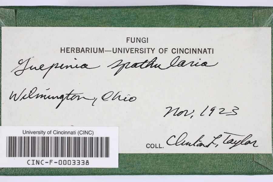 | Guepinia spathularia (Schwein.) Fr. | 1923 | Taylor, C.L. | Wilmington |
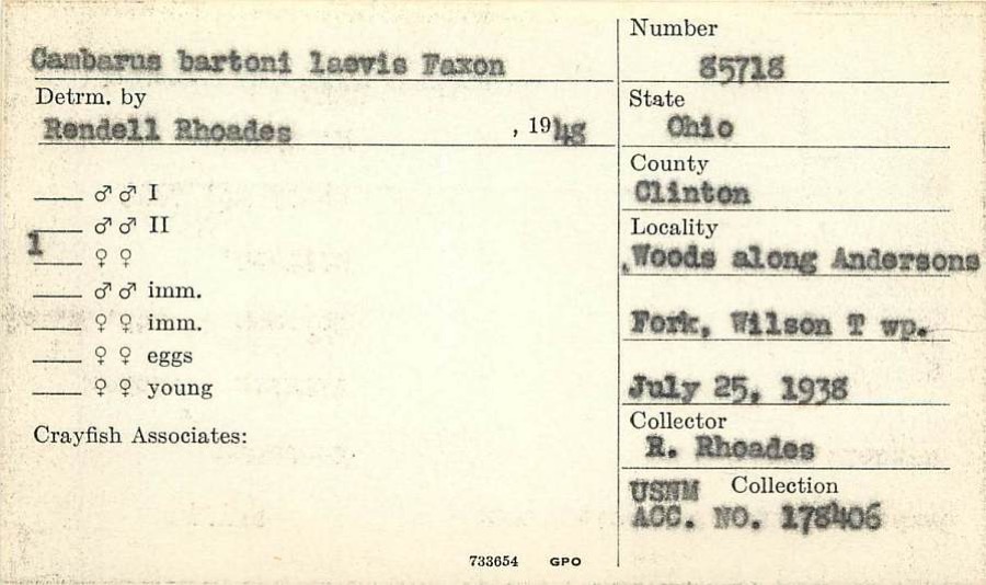 | Cambarus ortmanni Williamson, 1907 | 1938 | R. Rhoades | Woods along Anderson Fork, Wilson Township |
 | Desmodium pauciflorum (Nutt.) DC. | 1892 | J. S. Vanderwort | New Antioch |
 | Gymnosporangium globosum (Farl.) Farl. | 1901 | Hartley C. P. | Sabina |
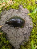 | Pseudosuccinea columella (Say, 1817) | 1911 | not recorded | Clinton, North America |
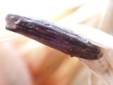 | Claviceps purpurea (Fr.) Tul. | 1919 | Lewis H. L. | Wilmington |
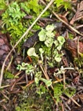 | Cladonia fimbriata (L.) Fr. | 1923 | Taylor, C.J. | Wilmington |
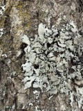 | Parmelia Acharius, 1803 | 1924 | Taylor, L. | Wilmington |
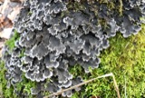 | Peltigera praetextata (Flörke ex Sommerf.) Zopf | 1924 | Taylor, C.L. | Wilmington |
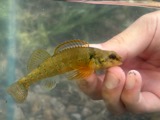 | Etheostoma variatum Kirtland, 1840 | 1926 | Wickliff, E. L. (Edward L.) | Todd Fork, near present day US 68 estimated based off Fishes of Ohio map |
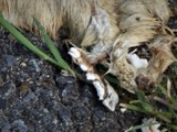 | Mustela frenata Lichtenstein, 1831 | 1927 | Hazard, F. O. | Reesville, Clinton Co., Ohio, USA |
 | Acris crepitans Baird, 1854 | 1929 | Hazard, F. O. | near Wilmington, Clinton Co., Ohio |
All 196 specimens within 10 miles, at the Global Biodiversity Information Facility.
Mines and quarries near this place
2 within 5 milesRegional context, not property-specific evidence. The federal mineral resources record lists 2 workings within 5 miles of Reesville: 1 past producer, 1 plant. 1 still produces. What was taken out: Limestone, General, Stone, Crushed/Broken. Distance is straight-line from the map coordinates, so a quarry counted here may appear on a neighbouring settlement's page as well.
| Where | Site | Commodity | Status | Recorded |
|---|---|---|---|---|
| Melvin Quarry | Limestone, General | Past Producer | Sedimentary | |
| Melvin Quarry & Mill | Stone, Crushed/Broken | Plant |
Storms near this place
4 since 2019Regional context, not property-specific evidence. The National Weather Service names Reesville in 4 storm reports between 2019 and 2025: 3 thunderstorm wind, 1 flood. No death or injury is recorded in these reports. Each account below is quoted exactly as the forecast office filed it, from the NOAA Storm Events Database, and each date opens the federal record of that event.
| When | Event | Place named | Harm | What the report says |
|---|---|---|---|---|
| March 2019 | Thunderstorm Wind | Reesville | $5,000 | Numerous trees were snapped and some power poles were downed. |
| August 2020 | Thunderstorm Wind | Reesville | $1,000 | A semi-trailer was blown over on U.S. 22 near Reed Road. |
| August 2020 | Thunderstorm Wind | Reesville | $1,000 | A pole was knocked down on OH-72 and Black Road. |
| July 2025 | Flood | Reesville | - | High water was reported on Polk Road near Weaver Road. |
Nearest settlements
The eight closest, with where each one stands in the county. Distances are straight-line, computed from the Geographic Names Information System coordinates.
| Map | Place | Distance | Sheets |
|---|---|---|---|
| Sabina | 2.2 miles | 11 | |
| Melvin | 2.2 miles | 11 | |
| Sabina Manor Estates | 2.4 miles | 11 | |
| Powderlick | 2.5 miles | 11 | |
| Bloomington | 4.1 miles | 11 | |
| Clinton | 4.1 miles | 14 | |
| Lees Creek | 4.5 miles | 11 | |
| Starbucktown | 5.8 miles | 14 |
Elsewhere
Matched on this settlement's Geographic Names Information System number rather than its name, so it cannot be a different place of the same name in another state.
| Wikipedia article on Reesville | An encyclopaedic summary. Its text is share-alike, so it is linked here rather than copied. |
| Wikidata item Q7307022 | The structured record the population and elevation above come from. Public domain (CC0). |
Provenance
This settlement is recorded in the Geographic Names Information System as feature 1061594. The sheet list is computed by point-in-boundary test against the United States Geological Survey's historical topographic inventory. Both are works of the United States government and carry no copyright under 17 U.S.C. 105.
Specimens. Global Biodiversity Information Facility (GBIF), https://www.gbif.org/. Only records licensed CC0 or CC BY are used. Records licensed CC BY-NC are excluded because this site carries advertising. Images are checked individually and any whose licence is non-commercial, no-derivatives or unreadable is refused.
Mines and quarries. USGS Mineral Resources Data System (MRDS) https://mrdata.usgs.gov/mrds/ A work of the United States government, no copyright under 17 U.S.C. 105.
Storms. NOAA National Centers for Environmental Information, Storm Events Database https://www.ncei.noaa.gov/stormevents/ A work of the United States government, no copyright under 17 U.S.C. 105. Narratives are quoted verbatim from the National Weather Service report and are not edited or summarised.