47 topographic sheets and 28 fire insurance
atlases across 5 places.
Research this county
This curated hub for Clinton County, Ohio brings together the page's documented record links, visible map or image evidence where published, and routes to related local records.
Use the page's provenance and linked records to distinguish the source material from the site's navigation and summaries.
How should I cite it?
Open the original record, preserve its repository and identifier, then use the citation tool for this page as a path back to the source.
Where should I go next?
Follow the county or state hub for related places and records, then use the guide for a source-aware research sequence.
From the record
11 National Register listings · 43 businesses named in the fire insurance atlases from 1900 to 1949 · the 1915 county history tells 3 stories and names 2 people · people the book names include Eablt 8K.Ttlehs (Richland Township, 1915) · General Introduction (Washington Township, 1858) (machine-read).
Ohio within the United StatesClinton County within Ohio
Explore by year
What the record shows
5 places in this county were surveyed for fire insurance: Wilmington, Blanchester, Martinsville, Sabina, New Vienna, between 1885 and 1949.
28 fire insurance atlas(es) survive for the county. Topographic coverage is national; fire insurance survey reached only incorporated places with something worth insuring.
526 topographic sheet readings cover the county's settlements.
11 properties here are on the National Register of Historic Places, including 2 covered bridges, 1 historic district, 3 houses and farms.
8 of the 11 listings were added during the 1970s.
The Geographic Names Information System records 42 populated places in this county; 0 are covered by at least one topographic sheet.
3 public-domain county histories, 1882 to 1915, supply 180,879 words of narrative reproduced here in full.
What happened here
3 accounts
A captivity, a drowning, a famine, a man
scalped clearing his lot in 1789. These are passages from The History of Clinton County, Ohio : Containing a History of the County; Its Townships, Cities, Towns ... General and Local Statistics; Portraits of Early Settlers and Prominent Men; History of the Northwest Territory; History of Ohio .., written
while people who remembered the events were still alive, and each one
opens the section it comes from.
1915, Richland Township
Nati'Rai. Tea Tubes
The township has good drainage through the waters of Lee's creek in the sonth and Rattlesnake creek in the northeast corner. As tributaries to this latter creek and serving as an excellent drain for the eastern part, are Palmer's branch. Wilson's branch and Grassy branch, and the western part is drained by Anderson's and Todd's fork.
Samuel Jackson bears the distinction of building the first house in this township about the year 1812. Mr. Jackson had emigrated from Tennessee in the year 1800, and had settled in the eastern part of what is now Highland county, on Rocky fork. Hunting was his chief occupation and during the year 1801 he killed two panthers and quite a number of deer and bears.
The township has good drainage through the waters of Lee's creek in the south and Rattlesnake creek in the northeast corner. As tributaries to this latter creek and serving as an excellent drain for the eastern part, are Palmer's branch. Wilson's branch and Grassy branch. and the western part is drained hy Anderson's and Todd's fork.
Taken for the Office of War Information and
the Farm Security Administration, who photographed the country between
1935 and 1944. Works of United States government photographers, with no
known restriction on use. Each opens its catalogue record.
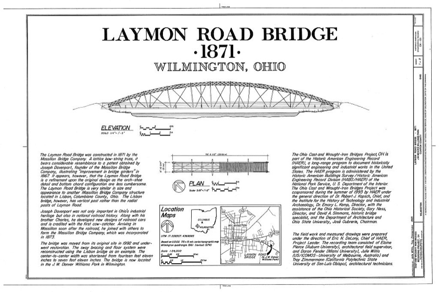
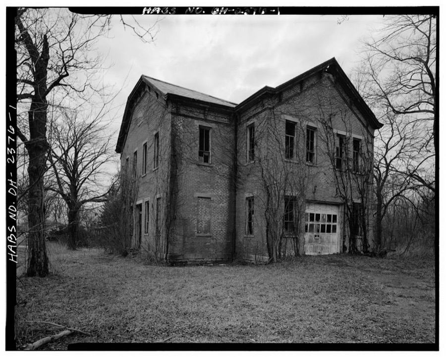
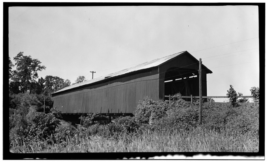
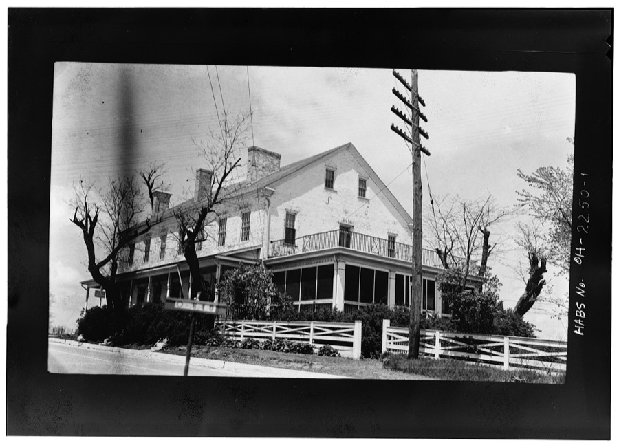
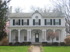
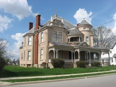
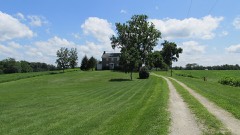
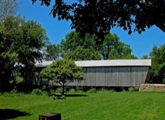
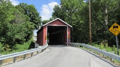
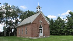
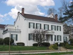
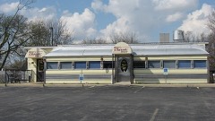
Laymon Road Bridge, J. W. Denver Williams Park, Wilmington, Clinton County, OH Unattributed, . Library of CongressMidland School Building, Northwest corner of Broadway & Cuba Avenue, Midland, Clinton County, OH Unattributed, . Library of CongressCovered Bridge, Route 3, Clarksville, Clinton County, OH Unattributed, . Library of CongressE. Harris House, State Route No. 73, New Vienna, Clinton County, OH Unattributed, . Library of Congress
Places on the National Register
11
Every property in this county listed on the
National Register of Historic Places, with the year it was listed and the
federal nomination document.
Clinton County holds 2 covered bridges on
the National Register, more than any other property type here. Each is a listed
structure with a federal nomination on file.
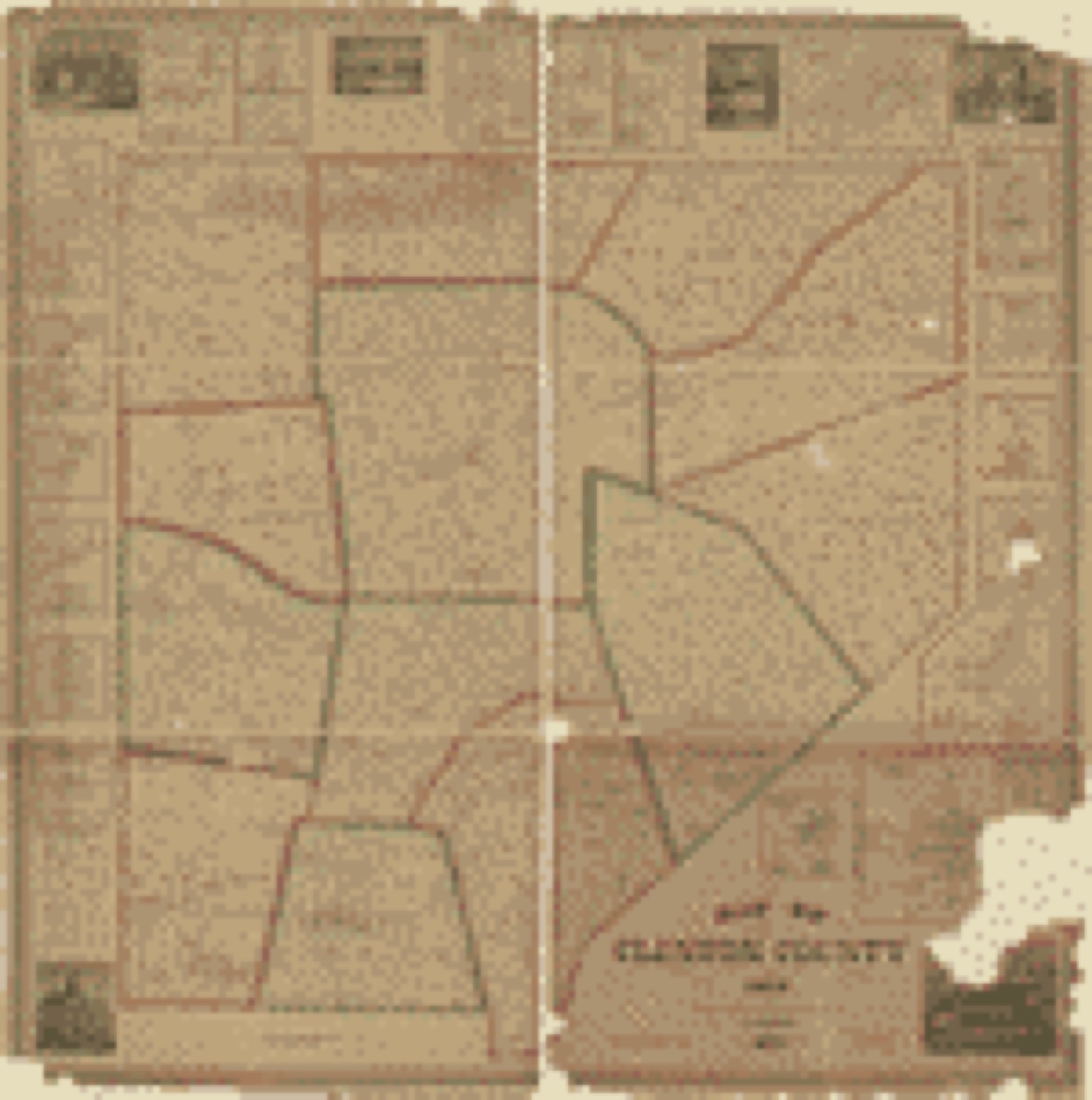
Drawn when these were printed as
single large sheets: the town seen from the air, and the county
divided into its farms with every owner named. Each opens the
original at the Library of Congress.
Land ownership map (1859) - Map of Clinton County, Ohio. Library of Congress.
Photographs from libraries nationwide
5 of 6 shown
Selected from the Digital Public Library
of America's 6 image records catalogued for this county. Every
one shown here carries a public-domain status or a licence that permits
reuse on a site that carries advertising; non-commercial, share-alike
and restricted images are excluded. The selection is spread across the
county's towns (at most eight per town), so no single institution's
bulk upload crowds out the rest. Each opens the holding library's
record, and
the complete set at the
Digital Public Library of America is one click away.
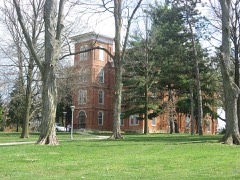
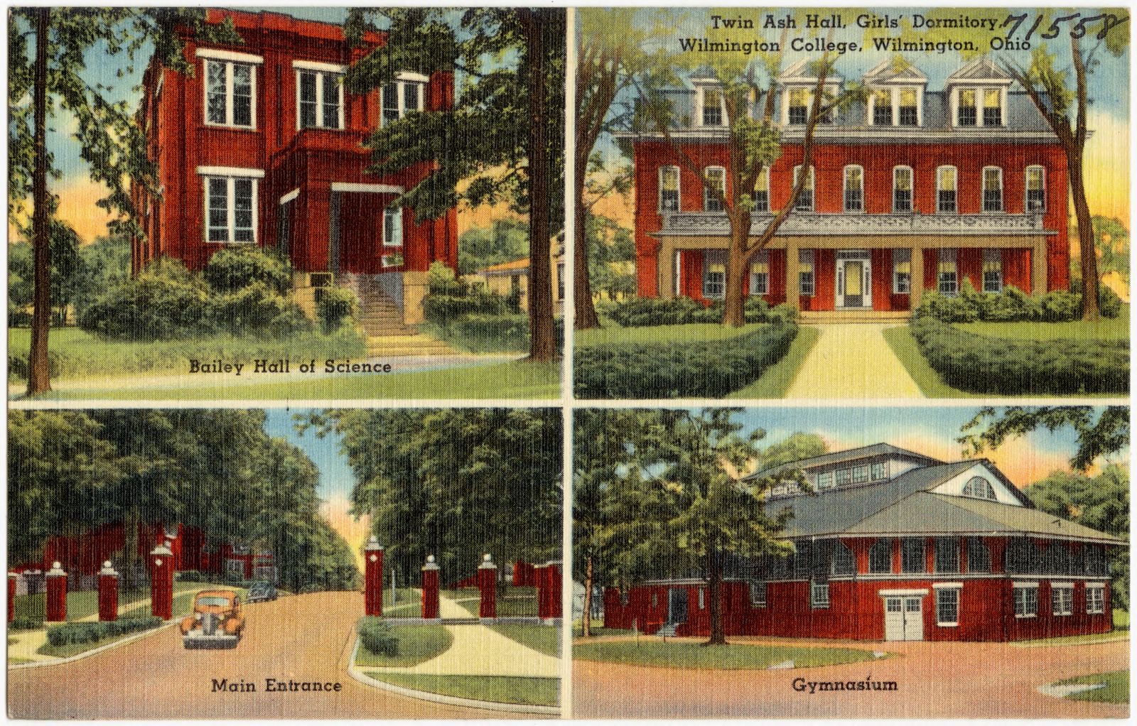
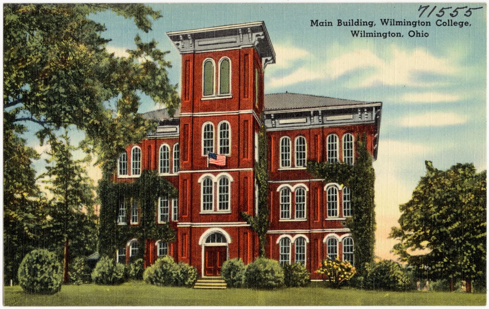
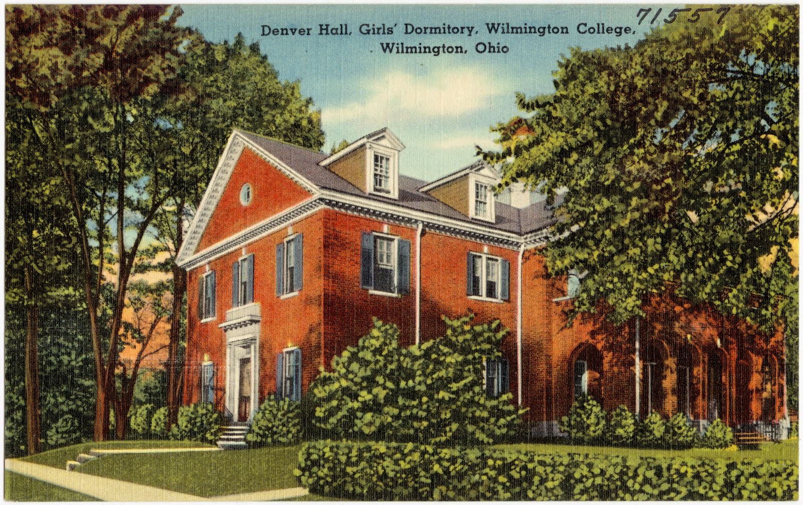
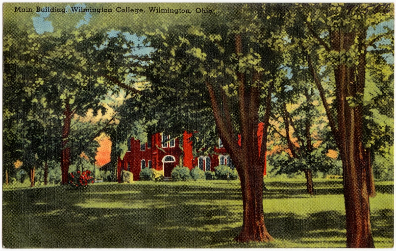
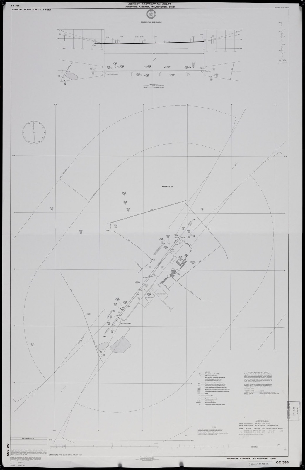
Bailey Hall of Science. Twin Ash Hall, girls' dormitory, Wilmington, Ohio. Main entrance. Gymnasium. Boston Public Library, via the Digital Public Library of America.Main building, Wilmington College, Wilmington, Ohio. Boston Public Library, via the Digital Public Library of America.Denver Hall, girls' dormitory, Wilmington College, Wilmington, Ohio. Boston Public Library, via the Digital Public Library of America.Main building, Wilmington College, Wilmington, Ohio. Boston Public Library, via the Digital Public Library of America.Airport obstruction chart, OC 583, Airborne Airpark, Wilmington, Ohio. United States. National Ocean Service, Boston Public Library, via the Digital Public Library of America.
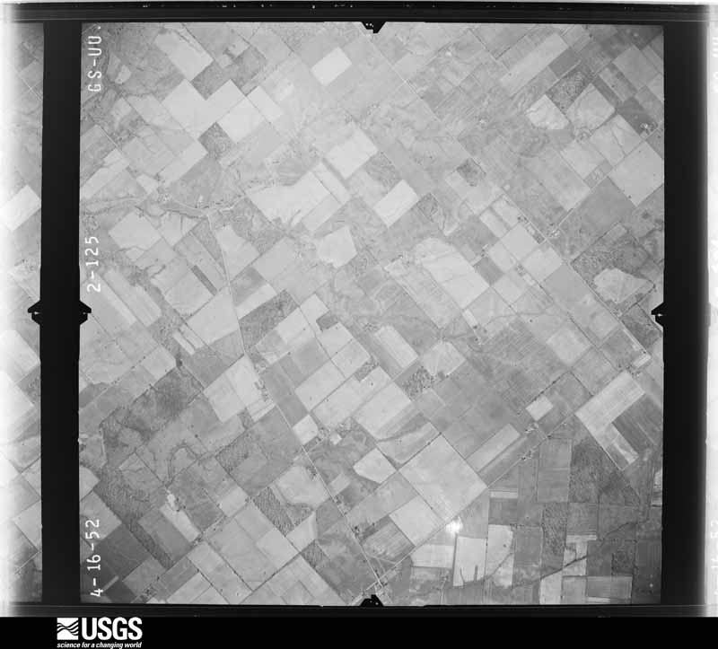
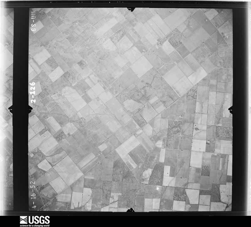
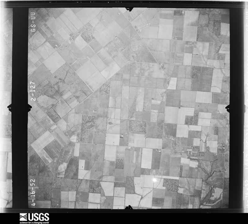
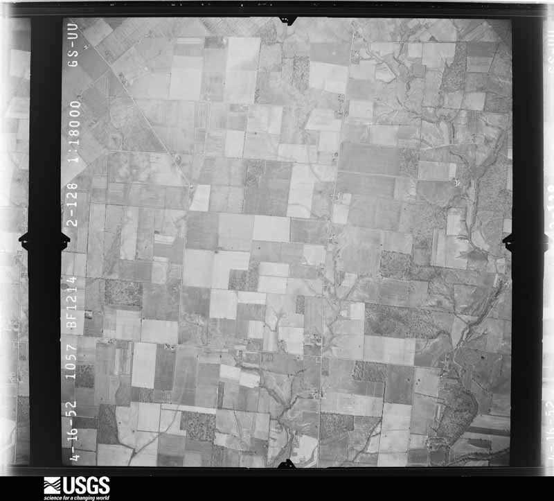
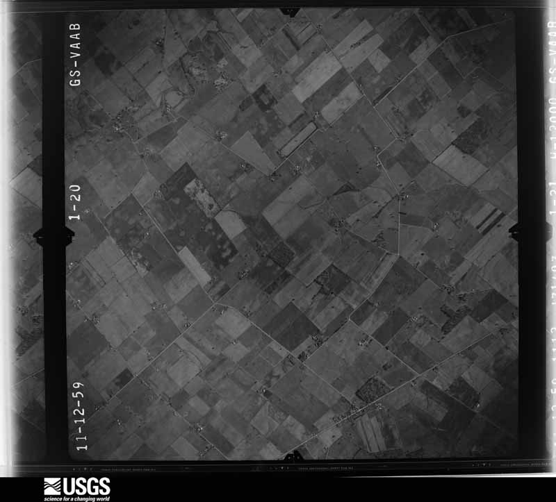
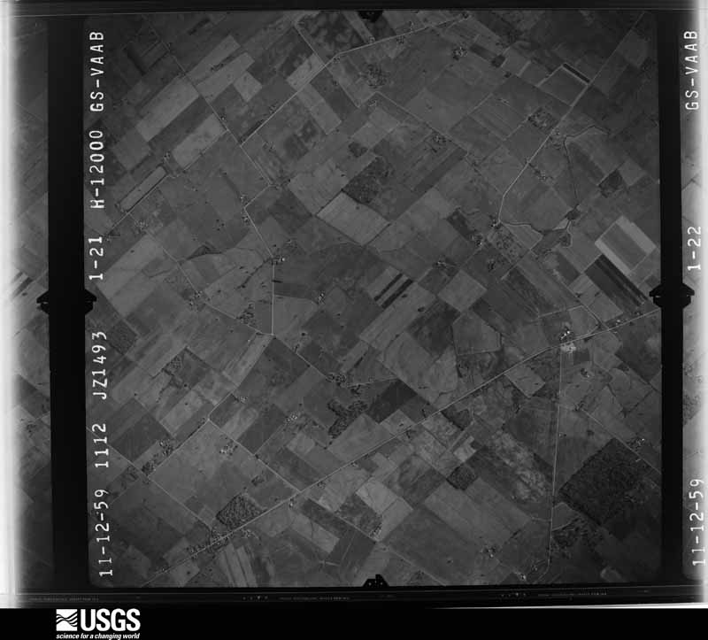
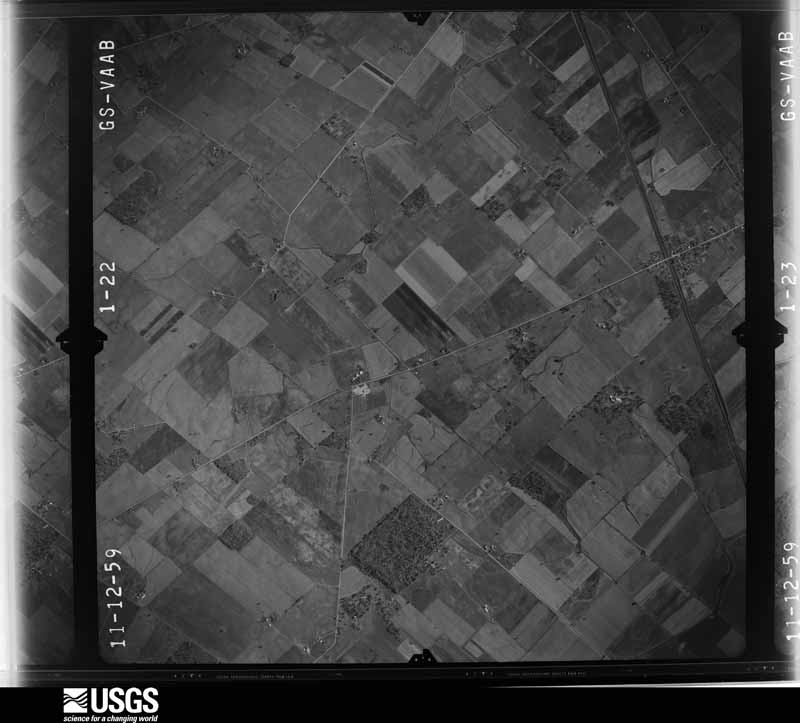
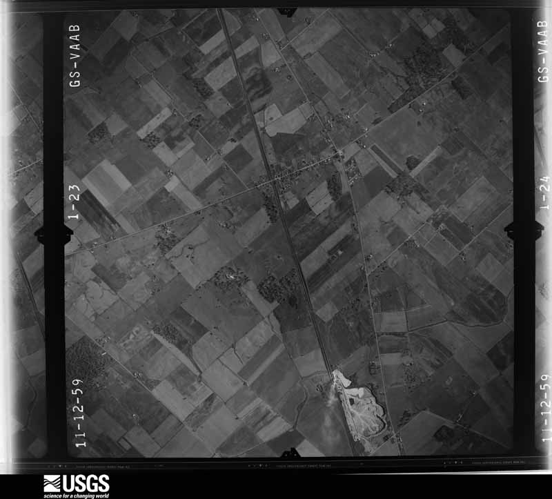
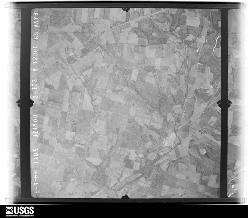
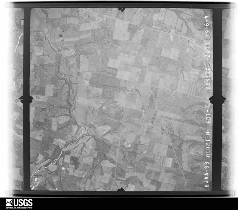
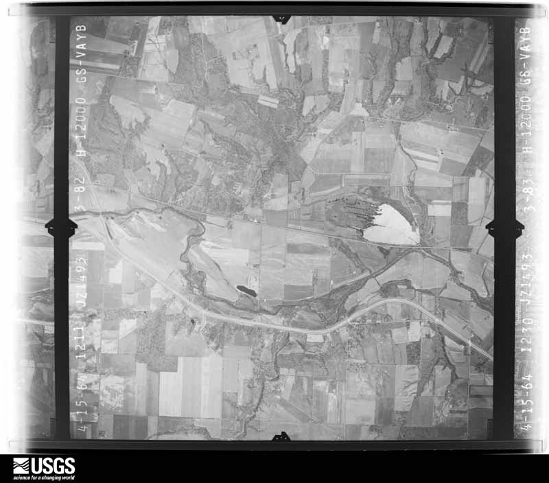
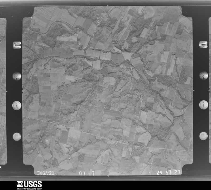
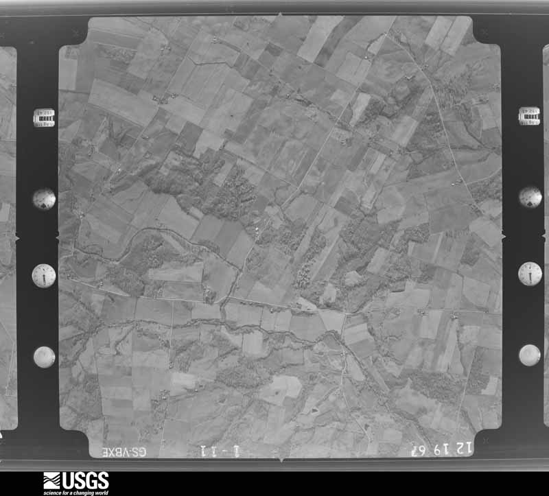
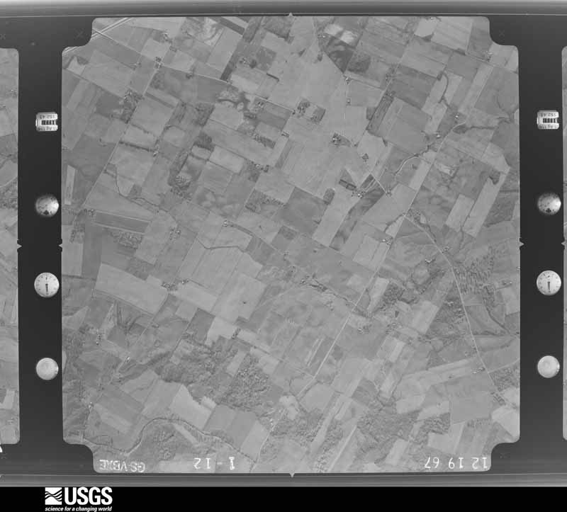
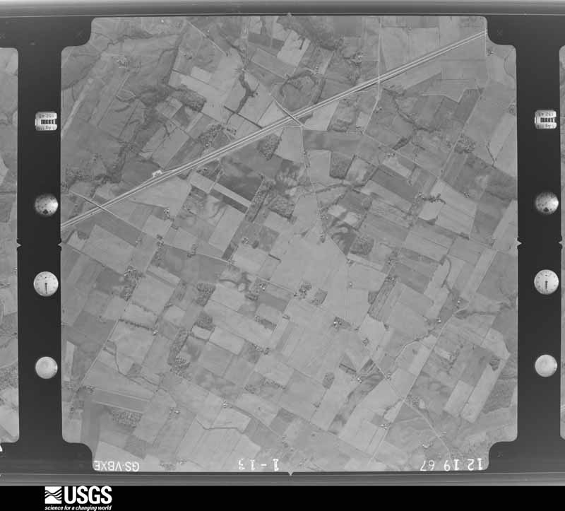
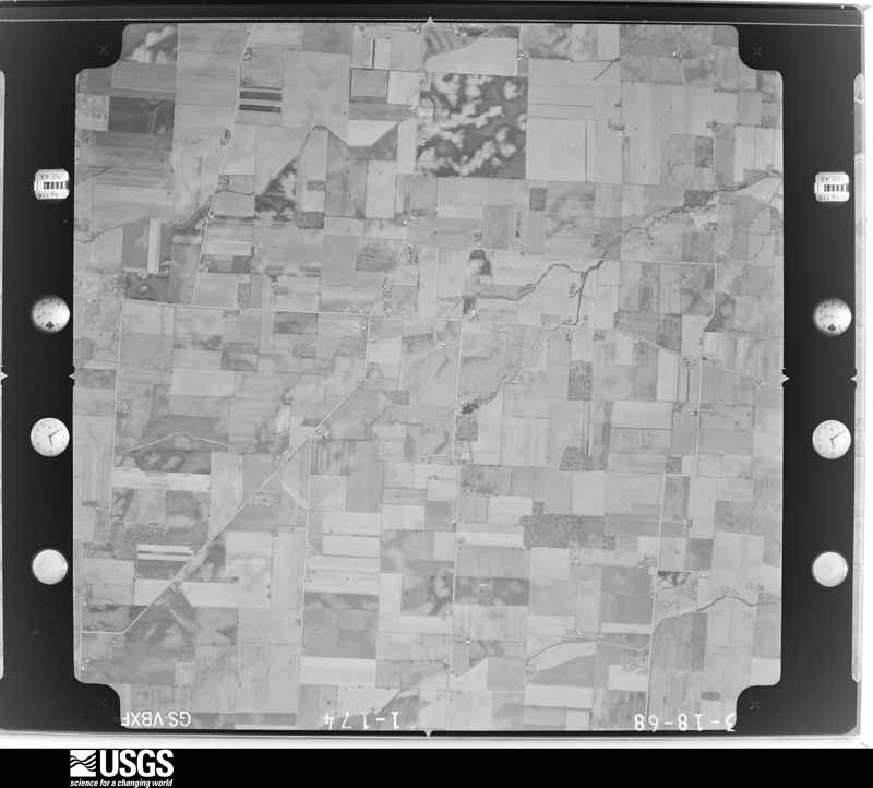
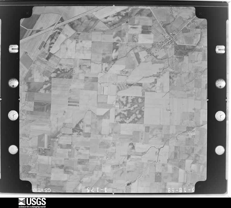
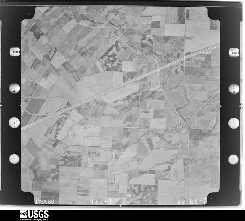
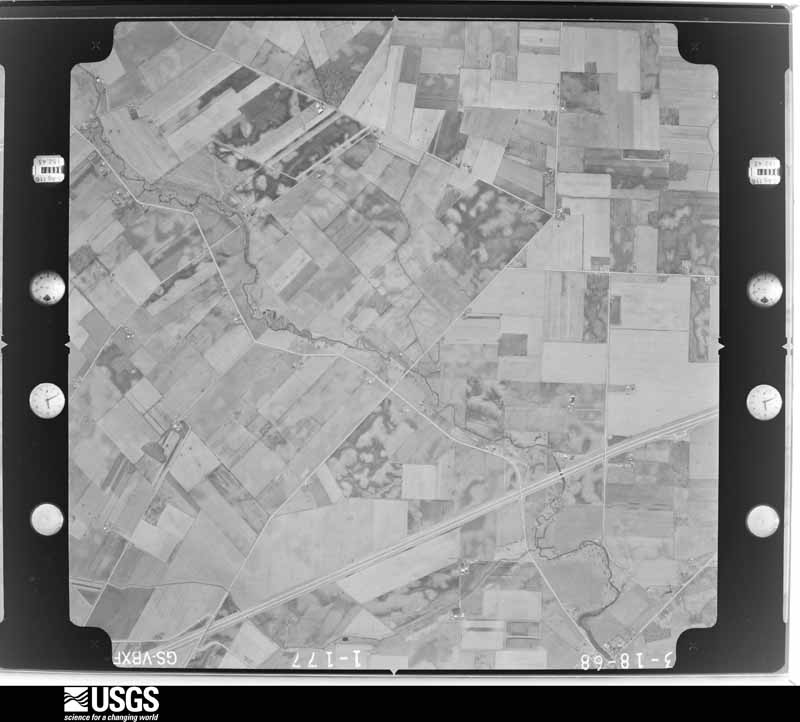
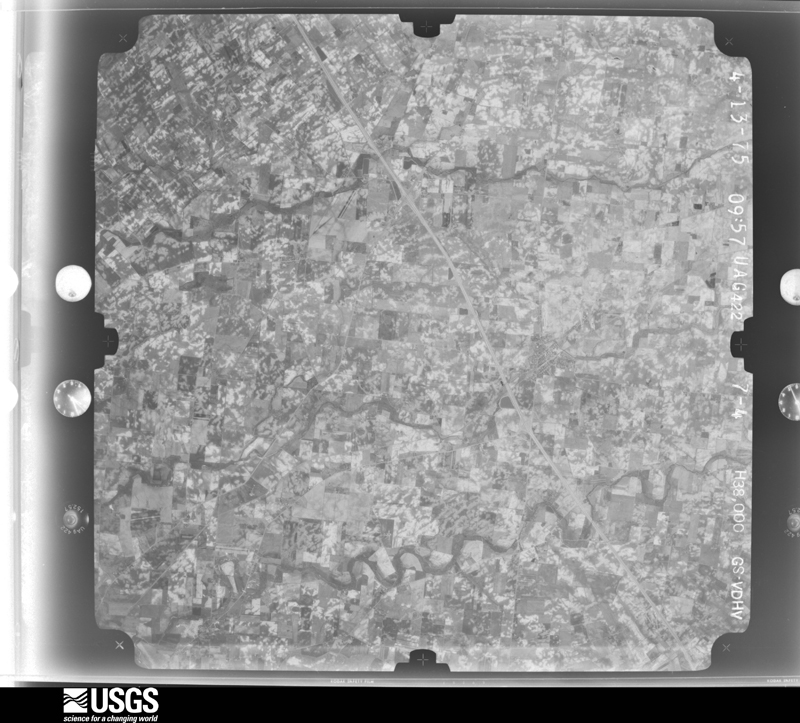
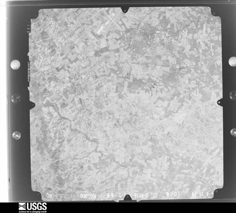
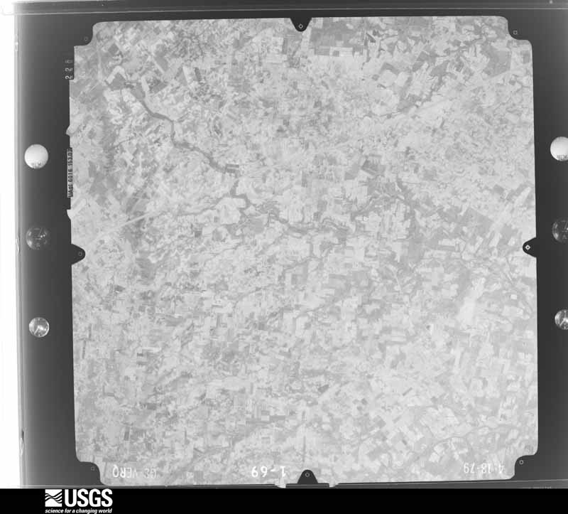
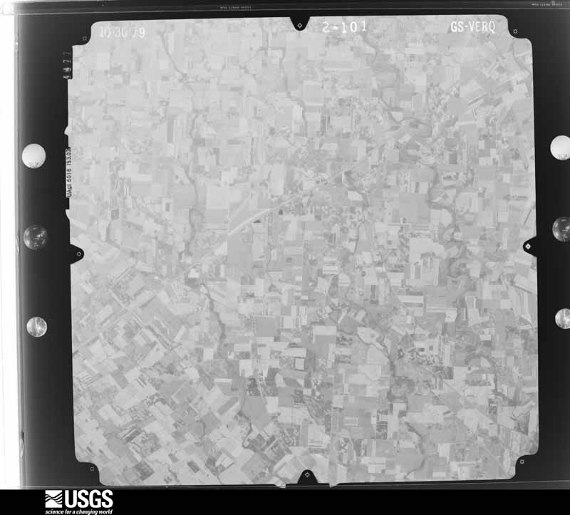
The county from the air
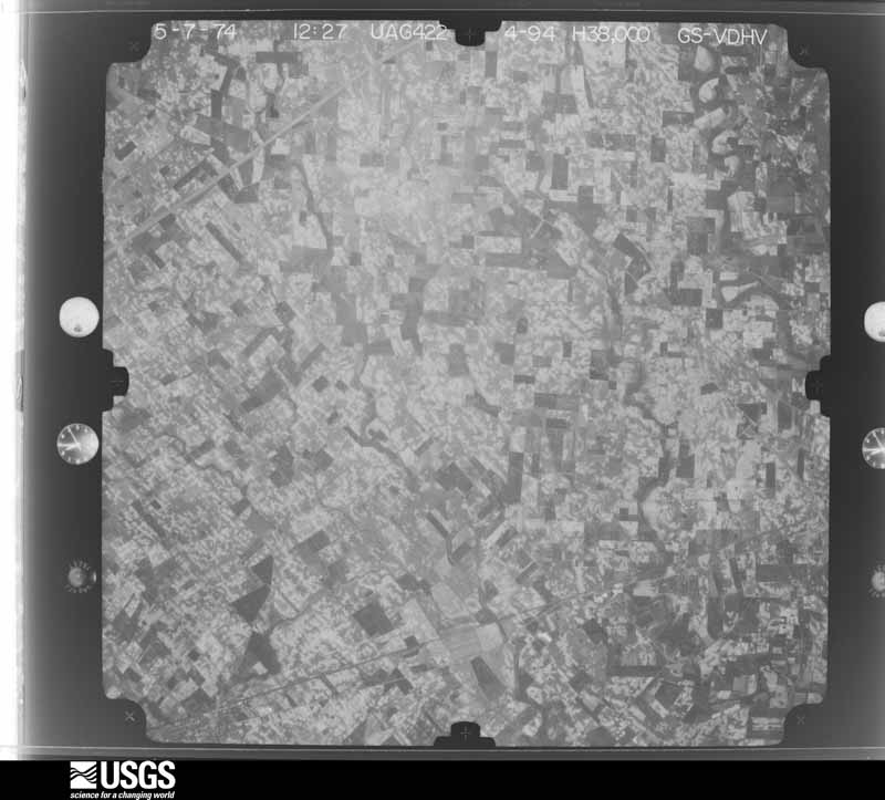
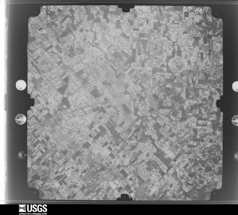
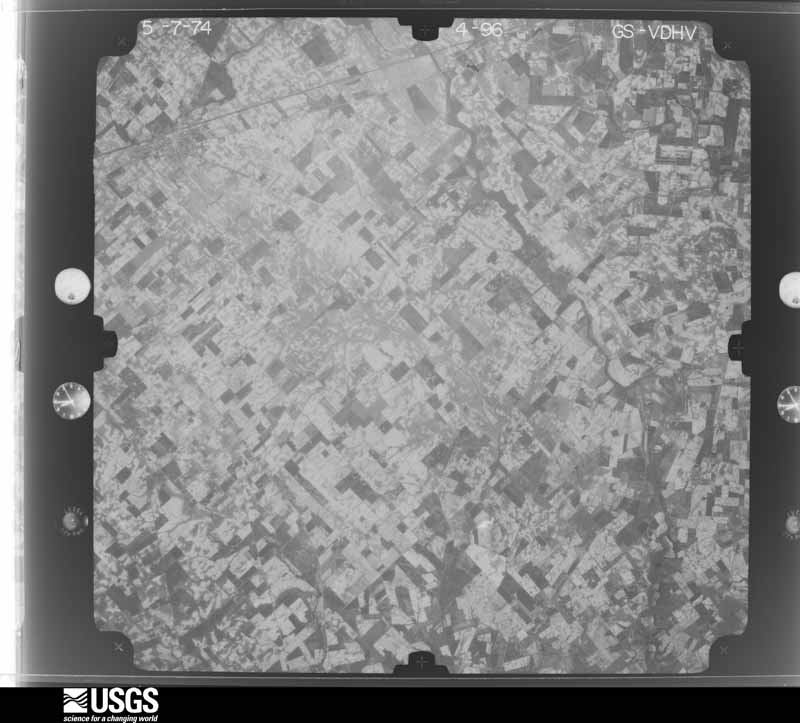
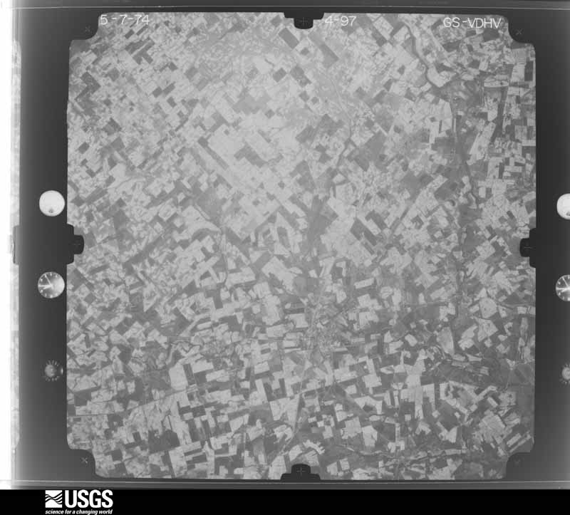
28 of 557 shown
Flown by the U.S. Geological Survey
between 1937 and 1989, the Aerial Photo Single Frames collection is
the definitive mid-century view of the land: fields, roads and rivers
as the camera saw them. 557 frames touch this county; the
selection below spreads across the decades of flights (at most four
per year), so one flight cannot crowd out the rest. The full set is
free to browse and download at
EarthExplorer under the dataset Aerial Photo Single
Frames.
1952-04-01, scale 1:18000. U.S. Geological Survey aerial photograph.1952-04-01, scale 1:18000. U.S. Geological Survey aerial photograph.1952-04-01, scale 1:18000. U.S. Geological Survey aerial photograph.1952-04-01, scale 1:18000. U.S. Geological Survey aerial photograph.1960-04-07, scale 1:24000. U.S. Geological Survey aerial photograph.1960-04-07, scale 1:24000. U.S. Geological Survey aerial photograph.1960-04-07, scale 1:24000. U.S. Geological Survey aerial photograph.1960-04-07, scale 1:24000. U.S. Geological Survey aerial photograph.1964-04-15, scale 1:24000. U.S. Geological Survey aerial photograph.1964-04-15, scale 1:24000. U.S. Geological Survey aerial photograph.1964-04-15, scale 1:24000. U.S. Geological Survey aerial photograph.1967-12-19, scale 1:24000. U.S. Geological Survey aerial photograph.1967-12-19, scale 1:24000. U.S. Geological Survey aerial photograph.1967-12-19, scale 1:24000. U.S. Geological Survey aerial photograph.1967-12-19, scale 1:24000. U.S. Geological Survey aerial photograph.1968-03-18, scale 1:24000. U.S. Geological Survey aerial photograph.1968-03-18, scale 1:24000. U.S. Geological Survey aerial photograph.1968-03-18, scale 1:24000. U.S. Geological Survey aerial photograph.1968-03-18, scale 1:24000. U.S. Geological Survey aerial photograph.1974-05-01, scale 1:76000. U.S. Geological Survey aerial photograph.1974-05-01, scale 1:76000. U.S. Geological Survey aerial photograph.1974-05-01, scale 1:76000. U.S. Geological Survey aerial photograph.1974-05-01, scale 1:76000. U.S. Geological Survey aerial photograph.1975-04-13, scale 1:76000. U.S. Geological Survey aerial photograph.1979-11-01, scale 1:80000. U.S. Geological Survey aerial photograph.1979-11-01, scale 1:80000. U.S. Geological Survey aerial photograph.1979-11-01, scale 1:80000. U.S. Geological Survey aerial photograph.1979-11-01, scale 1:80000. U.S. Geological Survey aerial photograph.
City directories
4 volumes
The "who lived here, by year" answer:
pre-1929 public-domain directory volumes naming the county's people,
machine-read and searchable as text.
The thermometers that kept this
county's weather, and the gages that watched its rivers, as the
federal records hold them. The extremes below are measured values
from those records, not estimates.
CLARKSVILLE1893 to 1909, hottest 37.8 C, coldest -29.4 C
HILLSBORO1893 to 2026, hottest 40.6 C, coldest -39.4 C
PULSE1899 to 1907, hottest 35.0 C, coldest -26.1 C
WILMINGTON 3 N1915 to 2019, hottest 42.2 C, coldest -30.0 C
OCTA (1)1921 to 1926, hottest 36.7 C, coldest -22.2 C
Who lived here in 1950, one enumeration
district at a time, as the Census Bureau described each district.
Each row opens its official National Archives result, with Population
Schedules and ED Maps available there.
14-12Liberty township - That part outside Port William village
14-13Marion township: Blanchester village: Blanchester village - That part northwest of State Hwy. 28 and northeast of State Hwy. 133
14-14Blanchester village - That part west of State Hwy. 133
14-15Blanchester village - That part southeast of State Hwy. 28 and east of State Hwy. 133
14-16Marion township - That part outside Blanchester village
14-17Richland township: Sabina village: Sabina village - That part north of State Hwy. 22
14-18Sabina village - That part south of State Hwy. 22
14-19Richland township - That part outside Sabina village
14-20Union township: Wilmington city: Wilmington city - That part of Ward 1 Bounded by Vine, Prairie Ave.; City limits; Rombach Ave., Main Lincoln
14-21Wilmington city - That part of Ward 1 Bounded by City limits; Prairie Ave., Vine, Lincoln; Main; South, Lorish Ave., Lincoln
14-22Wilmington city - That part of Ward 2 Bounded by Rombach Ave.; City limits; City limits; College
14-23Wilmington city - That part of Ward 2 Bounded by Rombach Ave.; College, City limits; City limits; Baltimore and Ohio Railroad
14-24Wilmington city - That part of Ward 2 Bounded by Main, Rombach Ave.; Baltimore and Ohio Railroad; City limits; South
14-25Wilmington city - That part of Ward 3 Bounded by Wayne Ave., Main; South; Pennsylvania Railroad, City limits; City limits
14-26Wilmington city - That part of Ward 3 Bounded by Pennsylvania Railroad; South; City limits; City limits
14-27Wilmington city - That part of Ward 4 Bounded by City limits; Lincoln; Lorish Ave.; Xenia Ave.
14-28Wilmington city - That part of Ward 4 Bounded by Xenia Ave.; South; Main; Spring
14-29Wilmington city - That part of Ward 4 Bounded by City limits, Xenia Ave.; Spring, Vine, Park Ave.; Clinton, Thorne Ave., Locust; Farquhar Ave., City limits
14-30Wilmington city - That part of Ward 4 Bounded by City limits, Farquhar Ave., Locust, Thorne Ave., Clinton, Park Ave., Vine; Spring; Main, Wayne Ave.; City limits
14-31Union township - That part north of State Hwy. 22, outside Wilmington city
14-32Union township - That part south of State Hwy. 22-3, outside Wilmington city, excluding Clinton County Air Force Base
14-33Clinton County Air Force Base (In Union township)
Every Sanborn volume opens with a printed index
naming the town's mills, tanneries, hotels and works by proprietor. Those
indexes were read off the scanned sheets by machine and then matched to each
other, so a business surveyed four times appears here once, with the years it
survived. 11 of these 43 were named in more than one atlas. Each carries a
crop of the line it was read from: the spelling is the recogniser's and the
1880s lithographer's, and the scan behind it is the proof.
Every wildfire the federal occurrence
database records inside this county: 5 of them, burning about
4 acres. 0 started naturally and 2 were
recorded as arson. Each settlement page carries the fires within five
miles of it.
Reported cause
Fires
Arson/incendiarism
2
Debris and open burning
2
Missing data/not specified/undetermined
1
The five largest, by the area the report
gives. Two of them were set deliberately.
Date
Cause
Size
Reported by
Name on the report
21 February 2009
Debris and open burning
3.5 acres
Ohio Department of Natural Resources
not named
2 March 2006
Debris and open burning
under an acre
Ohio Department of Natural Resources
not named
8 February 2002
Arson/incendiarism
under an acre
Ohio State Fire Marshal's Office
not named
16 November 2002
Arson/incendiarism
under an acre
Ohio State Fire Marshal's Office
not named
7 April 2002
Missing data/not specified/undetermined
under an acre
Ohio State Fire Marshal's Office
not named
Every settlement page carries the fires within five
miles of it - see the settlement index below.
Storms, 1956 to
2026
60 of 542 shown
The
NOAA Storm Events Database holds
542 reports for this county, causing 3 deaths,
20 injuries and about $12,375,400 in recorded property damage.
Each settlement page carries the reports that name it.
Kind of event
Reports
Thunderstorm Wind
329
Hail
118
Tornado
32
Flood
30
Flash Flood
27
Heavy Rain
3
Lightning
2
Funnel Cloud
1
The most serious of them, by death, then
injury, then recorded damage. The accounts are quoted exactly as the
forecast office filed them.
Seven homes were evacuated due to high water in Clarksville. A 54 year old woman attempting to cross a swollen stream was swept away and drowned. Numerous roads were flooded throughout the county.
Numerous trees downed, some on homes and vehicles. A metal storage shed was blown from its foundation and found suspended in a tree. A local resident was injured in a traffic accident during the storm from falling debris striking the car.
The same storm that produced tornadoes to the southwest of the county moved to the Pansy road area southwest of Clarksville. Three homes and a business were destroyed by the storm and 20 other properties were damaged.
Trees down and minor roof and porch damage in a number of locations including Clarksville and Wilmington. A vacant mobile home was blown over in Vernon Township. A tractor-semitrailer was blown off of route 68 just south of Interstate 71 near Wilmington.
A dozen homes sustained wind and/or hail damage in the vicinity of Farmers Rd. and State Route 350. There was also a roof ripped off a house on the west side of New Vienna.
Hail as large as baseballs occurred around Wilmington. Extensive damage occurred ranging from broken car windows to 4 airplanes at Airborne Express, which is located at the Wilmington Airport.
The tornado developed near Reed Road and State Route 72, where a few power poles were knocked down. Two barns on Rhonemus Road had their roofs removed, and a silo was also destroyed. On Hornbeam Road, one barn was destroyed, and multiple trees were snapped. Some roof and gutter damage was also observed on a single family home. Debris was thrown in multiple directions in the field directly east of Hornbeam Road. Farther east, power poles were downed on State Route 729. Additional debris was noted in a field near Greenfield-Sabina Road. The tornado crossed into Fayette County just east of Greenfield-Sabina Road at 0032EST. The tornado continued to move east-northeast across western Fayette County before ending at 0035EST, along Staunton Jasper Road.
A new barn was destroyed on Spencer Road due to damaging thunderstorm winds. In addition to the new barn damage, four roofs were blown off barns, 15 large trees were down, siding was damaged on a home, and a grain bin buckled.
The tornado touched down in Clinton County at 1224 EST and continued into Fayette County at 1224 EST before lifting at 1225 EST. The path width was 200 yards. The tornado traveled for 3.81 miles in Clinton County and then 0.14 miles in Fayette County. The damage was consistent with winds around 85 miles per hour. The tornado touched down just west of State Route 72, about one mile northwest of the intersection with State Route 729. The tornado was observed on the ground from two separate residences near the initial touch down location. Four utility poles were observed to be broken and briefly suspended in the tornado near one of the residences. An occupant of the other residence observed debris circulating immediately east of State Route 72. At one location east of State Route 72, the tornado pulled a large metal door from a barn and destroyed a portion of the metal roof. Fragments of the roof were carried for approximately a quarter of a mile to the northeast. Field debris was also found wedged between the wall boards of the barn. The tornado continued northeast and next crossed Hornbeam Road approximately three-fourths of a mile northwest of the intersection with State Route 729. Damage on the east side of Hornbeam Road included a horse trailer that was picked up and carried about 100 feet. Numerous trees were also snapped on this same property. The tornado then traveled northeast across open and harvested fields until arriving at Greenfield-Sabina Road, approximately three-fourths of a mile northwest of the intersection with Snow Hill Road. Damage on the east side of the road included damage to a metal roof and a wall of a livestock barn. There was also roof and siding damage to two residences nearby. The concentrated damage path appeared to end just past this location in far western Fayette County.
Several houses had significant siding damage from the hail as well as some minor roof damage and a few broken windows. Numerous cars were also damaged by the hail.
The weak tornado touched down and produced a concentrated path of minor damage along 2nd street in the village of Clarksville. Numerous structures along 2nd street received very minor damage, including windows broken and roofing materials lifted and strewn downstream. In addition, fences and play sets were blown over, and trees were snapped or uprooted. Most of the damage occurred to roofs and tree tops, suggesting that this tornado was only weakly in contact with the ground. Based on the damage surveyed, the maximum wind speed of this tornado was estimated at 70 miles per hour.
A weak tornado touched down just west of the Interstate 71/US Route 68 interchange, skipping across the interstate for a few minutes before lifting back into the clouds. Minor structural damage occurred at the exit to the Bush RV Center and at the Ramada Plaza Hotel. Several cars parked in the Ramada lot had windows blown out.
A roof was peeled back on one hanger and another hanger had its roof lifted up due to damaging thunderstorm winds. A large sliding metal door was forced inward and a tin roof was blown off of a barn due to the winds. In addition, rafters in a barn were broken and a door was knocked off of a barn due to the thunderstorms.
A measured 69 mph gust occurred at the Wilmington National Weather Service office. Strong winds tore a roof off of a house in Sabina. The roofs of two houses were torn off in the vicinity of route 730 southwest of Wilmington. Trees were blown down in the Blanchester area. The Wilmington ASOS recorded a 58 mph gust.
Six trees and tree limbs were downed due to thunderstorm winds. Some limbs fell onto power lines causing power outages. One tree fell on a truck in downtown Blanchester. A camper was also blown into a field.
A roof was removed from a brick building and was blown thirty feet away due to damaging thunderstorm winds. A metal roof was partially pulled off of a barn and a garage door was forced inward due to the winds. In addition, siding was peeled off of a barn.
A metal shed was severely damaged near the intersection of State Route 134 and Dover Road. The Wilmington High School auditorium sustained roof damage. The tops of three trees were snapped off in town.
Thunderstorm winds gusted to 65 mph at the Wilmington Industrial Airport. Also, a metal building was blown over in a mall parking lot in Wilmington. A roof was blown off of trailer home in Martinsville.
This tornado began in Brown County near U.S. Route 68, just to the northeast of Fayetteville at 0017EST. The tornado traveled northeast across far northwest Highland County and entered Clinton County at 0022EST, just south of Wise Road. On Wise Road, large tree limbs were blown down and siding and shingles were removed from one home. The tornado then moved back into Highland County at 0023EST, just southwest of Lynchburg before quickly ending near Lynchburg, where some tree damage was noted on State Route 134.
A roof was ripped off of a hog barn on Sabina Road. Other barns on Starbuck Road sustained minor structural damage, and numerous trees were downed across the northern part of the county.
There were multiple reports of damage, which included: several large trees knocked down; a porch roof lifted with significant soffit damage; two windows were blown in; and some siding was blown off while some if the siding was damaged by hail.
Minor tree and structural damage was found in different parts of the area centered on Antioch Road. This included roof damage to a barn, some trees, and some personal property.
Minor tree and structural damage was found in different parts of the area centered on Antioch Road. This included roof damage to a barn, some trees, and some personal property.
A large tree was blown down and a roof was blown off of a house near the intersection of Westboro Road and Old US Route 68. Several homes in this vicinity sustained minor roof and siding damage from fallen trees and large limbs.
A brief tornado touchdown occurred along Jonesboro Road just southwest of Martinsville. A barn and a shed sustained damage, along with a few trees and numerous large limbs. The estimated wind speed was 65 mph.
Several trees were downed near Cowan Lake, and large limbs were knocked down along State Route 730. Additional damage occurred to a few headstones at the Clarksville Cemetery.
A few trees were downed. Several homes had siding peeled from the structure.
Mines and
quarries
2 recorded
The Survey's mineral resources record
lists 2 workings inside this county. 1 still
produces and 1 is closed or unrecorded. Each settlement
page carries the workings within five miles of it.
Commodity
Workings
Limestone, General
1
Stone, Crushed/Broken
1
The least common of them first, because a
county's hundredth gravel pit says nothing its first ten did not.
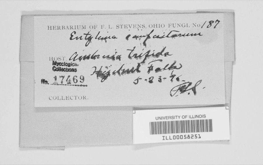
Museum specimens collected inside this
county and catalogued with a date and a place: 764 of them, by
kingdom 527 animalia, 194 fungi, 27 plantae, 12 protozoa, 4 unrecorded. Each is a physical object in a named collection, not a
sighting. Held by CINC, Ohio State University - Fish Division, Columbus, OH (OSUM), KU, Ohio State University - Amphibian Division, Columbus, OH (OSUM), BYU, USNM among others, and each settlement page carries
the specimens collected near it.
The oldest of them. A specimen proves
something was collected on that day; its absence proves nothing.
The History of Clinton County, Ohio : Containing a History of the County; Its Townships, Cities, Towns ... General and Local Statistics; Portraits of Early Settlers and Prominent Men; History of the Northwest Territory; History of Ohio .. devotes a chapter to each township:
its boundaries and streams, who settled it and when, the mills, the
schools and the churches. All 13 are reproduced here in full. Each row
shows the township's own shape and where it lies in the county, drawn from
the Census Bureau's boundary. Which settlements belong to which township
is computed from that same boundary, not taken from the book.
Everyone The History of Clinton County, Ohio : Containing a History of the County; Its Townships, Cities, Towns ... General and Local Statistics; Portraits of Early Settlers and Prominent Men; History of the Northwest Territory; History of Ohio .. stops to write about, with
the section that describes them. Among them are the men who founded the
place and governed the Territory. Each name opens the passage itself, in
the words of 1915.
Named settlements recorded in the Geographic Names
Information System, each with the topographic sheets covering it. Villages,
hamlets and abandoned places alike. Each is shown with the watercourse or
landform it stands on and the survey quadrangle it falls on. The 5
places that were also surveyed for fire insurance come first, with the
number of atlases and photographs held for them.
The complete index, with nothing left out.
Each of these is a separate record with its own page: a federal survey
report, or the case file that argued a property on to the National
Register. Both are public domain and reproduced word for word.
Topographic sheets. USGS Historical Topographic Map Collection, county index, measured from the bulk metadata.
Fire insurance maps. Library of Congress Sanborn collection, faceted to this county.
Photographs. Each place queried individually against the Library of Congress Prints and Photographs search.
Wildfire. Short, Karen C. 2022. Spatial wildfire occurrence data for the United States, 1992-2020 [FPA_FOD_20221014]. 6th Edition. Fort Collins, CO: Forest Service Research Data Archive. https://doi.org/10.2737/RDS-2013-0009.6 Collected with United States Government funding and usable without additional permissions or fees.
Specimens. Global Biodiversity Information Facility (GBIF), https://www.gbif.org/. Only records licensed CC0 or CC BY are used. Records licensed CC BY-NC are excluded because this site carries advertising. Images are checked individually and any whose licence is non-commercial, no-derivatives or unreadable is refused.
Mines and quarries. USGS Mineral Resources Data System (MRDS) https://mrdata.usgs.gov/mrds/ A work of the United States government, no copyright under 17 U.S.C. 105.
Storms. NOAA National Centers for Environmental Information, Storm Events Database https://www.ncei.noaa.gov/stormevents/ A work of the United States government, no copyright under 17 U.S.C. 105. Narratives are quoted verbatim from the National Weather Service report and are not edited or summarised.
 Block
Block





_BHL4428192.jpg)