 Block
Block
Rehoboth, Massachusetts
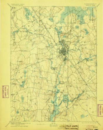
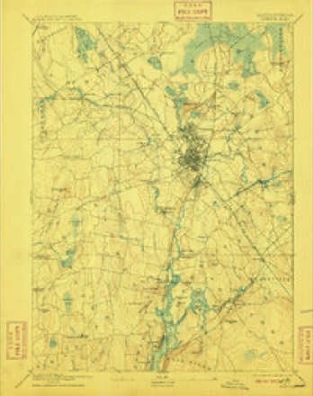
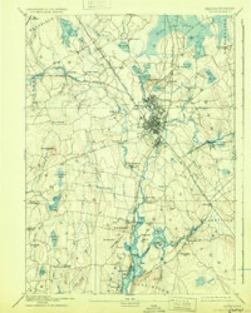
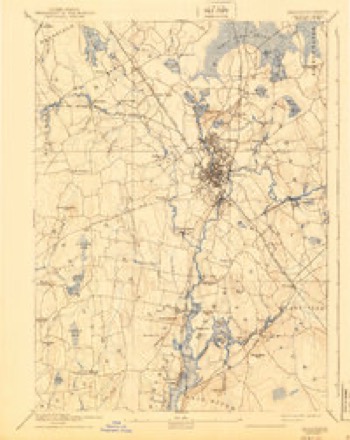
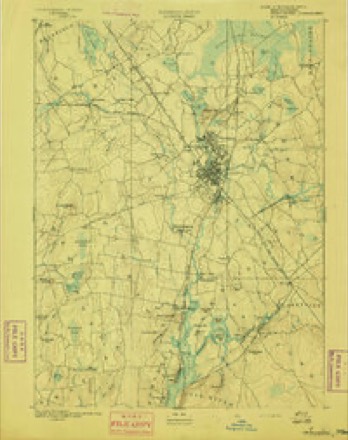
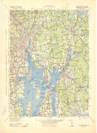
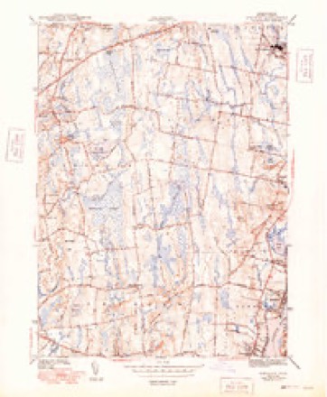
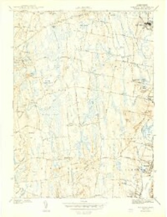
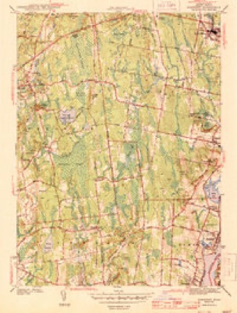
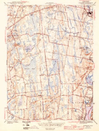
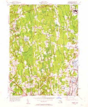
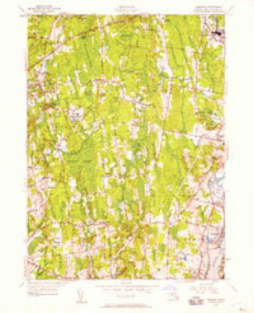
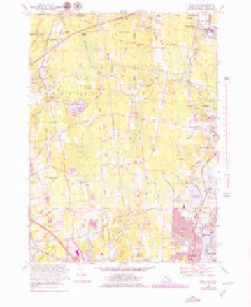
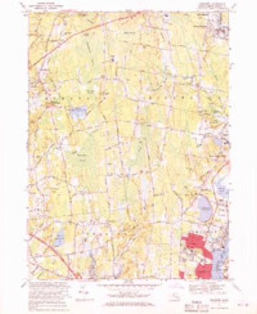
33 topographic sheets cover this place, the earliest surveyed in 1885 and the latest in 1985. It stands in Rehoboth town. It lies in ZIP code area 02769. It stands on Fowlers Hill. The Survey maps it on the East Providence quadrangle.
Then and now
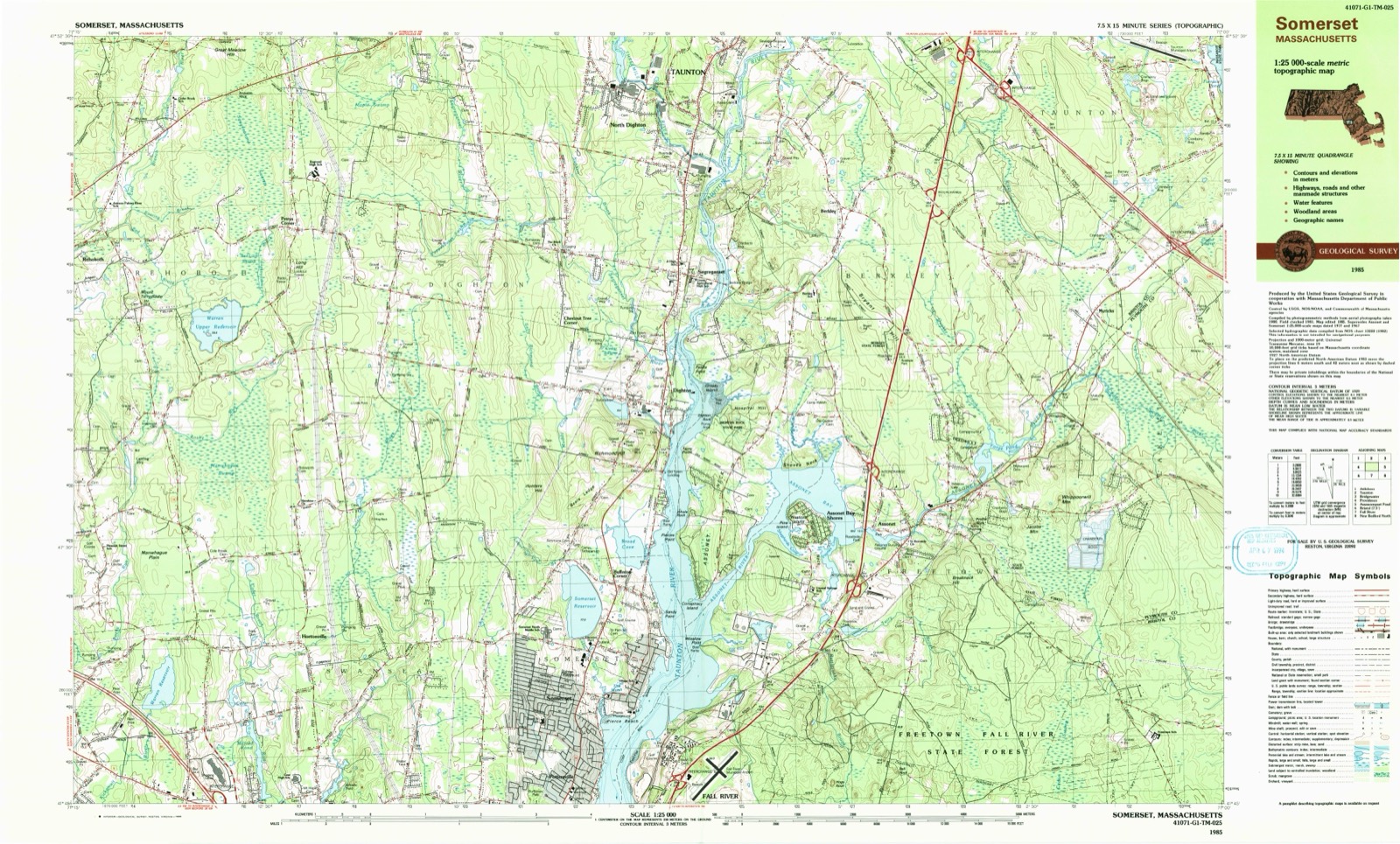
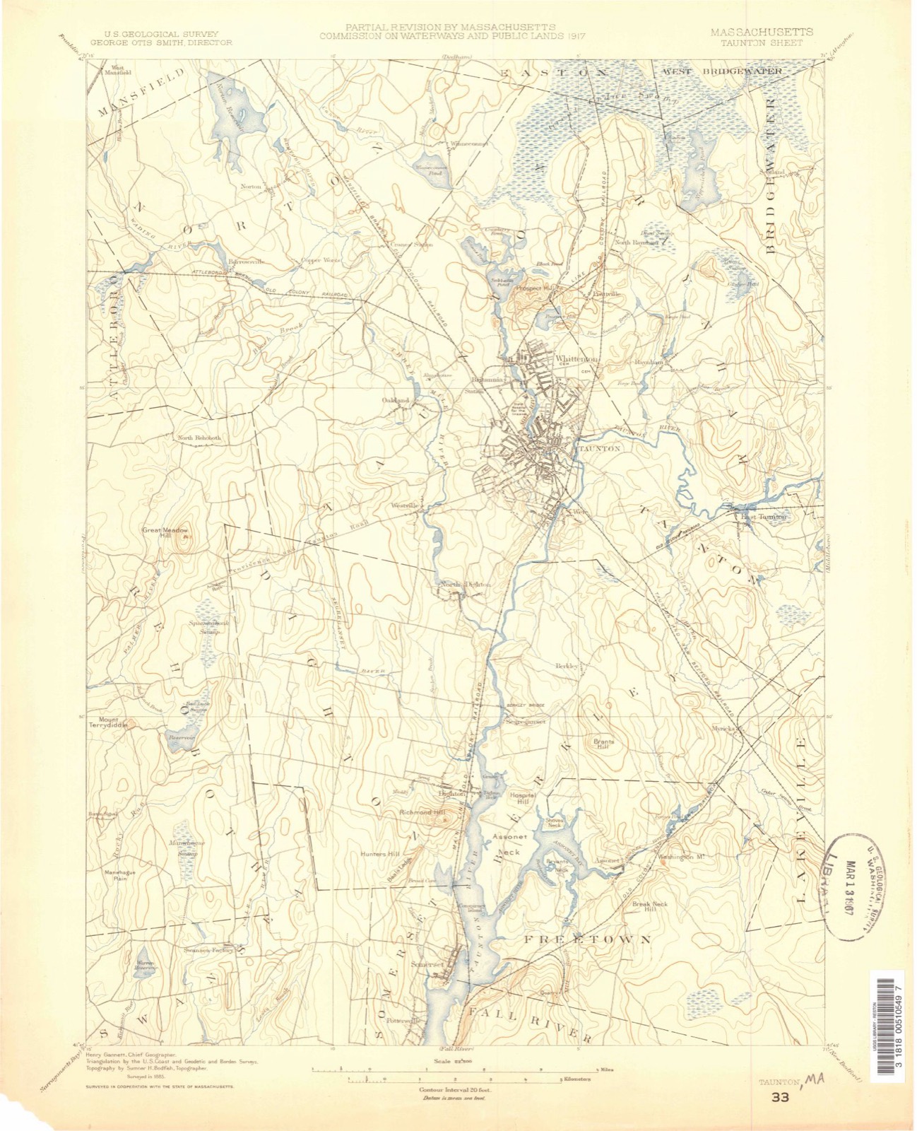
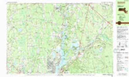
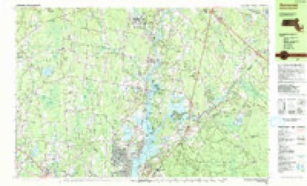
1885 to 1985The same ground, surveyed 100 years apart. Drag the handle to wipe between them. Both sheets are United States Geological Survey originals; neither has been altered.
Topographic sheets covering this place
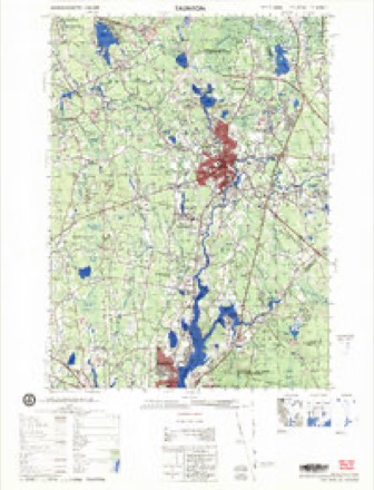
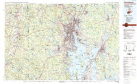
33 sheetsMatched by testing this settlement's coordinate against the published boundary of every sheet in the United States Geological Survey's historical collection. Each opens the scanned sheet at the Survey.
- 1885 USGS Taunton quadrangle1:62500
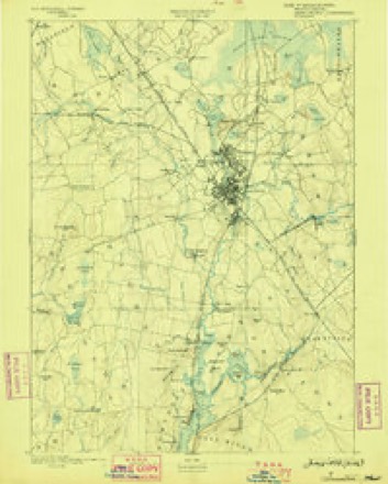
- 1888 USGS Taunton quadrangle1:62500
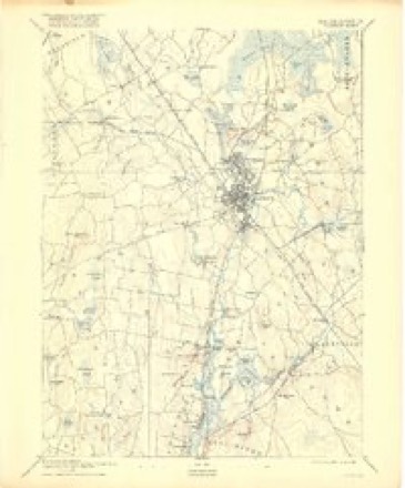
- 1893 USGS Taunton quadrangle1:62500
- 1893 USGS Taunton quadrangle1:62500
- 1893 USGS Taunton quadrangle1:62500
- 1893 USGS Taunton quadrangle1:62500
- 1893 USGS Taunton quadrangle1:62500
- 1893 USGS Taunton quadrangle1:62500
- 1893 USGS Taunton quadrangle1:62500
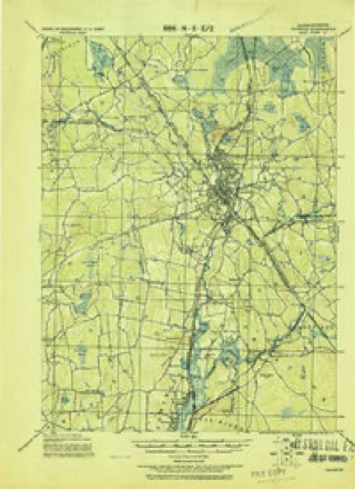
- 1918 USGS Taunton quadrangle1:62500
- 1943 USGS Providence quadrangle1:125000
- 1943 USGS Somerset quadrangle1:31680
- 1943 USGS Somerset quadrangle1:31680
- 1943 USGS Somerset quadrangle1:31680
- 1943 USGS Somerset quadrangle1:31680
- 1947 USGS Providence quadrangle1:250000
- 1947 USGS Providence quadrangle1:250000
- 1947 USGS Providence quadrangle1:250000
- 1947 USGS Providence quadrangle1:250000
- 1947 USGS Providence quadrangle1:250000
- 1948 USGS Providence quadrangle1:250000
- 1948 USGS Somerset quadrangle1:24000
- 1948 USGS Somerset quadrangle1:24000
- 1957 USGS Providence quadrangle1:250000
- 1958 USGS Providence quadrangle1:250000
- 1963 USGS Providence quadrangle1:250000
- 1967 USGS Somerset quadrangle1:25000
- 1967 USGS Somerset quadrangle1:24000
- 1977 USGS Somerset quadrangle1:25000
- 1979 USGS Taunton quadrangle1:50000
- 1984 USGS Providence quadrangle1:100000
- 1985 USGS Somerset quadrangle1:25000
- 1985 USGS Somerset quadrangle1:25000









What happened here
An account from the chapter on Rehoboth town, The inset identifies its exact source book and publication year.
More About Vaccination
No-vV is the time for the poultryman to determine whether or not it will pay him to vaccinate. All authorities agree that all pullets and cockerels should be vaccinated if there has been a recent epidemic of fowl pox or canker on the poultry plant. Even though a poultryman has not suffered loss from this disease it is probably good insurance to vaccinate.
In the county-history sources
90,994 words on this townshipHistory of Bristol County, Massachusetts, with Biographical Sketches of Many of Its Pioneers and Prominent Men, published 1883 names this settlement in its chapter on Rehoboth Town. These are the passages that mention it, exactly as the scans read.
Peter Hunt. "At the same time Peter Hunt was chosen Town Clerk." "At a town-meeting lawfully warned, the 12th of December, in the year 1653, voted that the price of corn should be 5s. ; wheat, 5s. ; rye, 4s. ; and Indian corn, 3s. (provided that the corn be current and merchantable corn)." " At the same time those men were chosen to be townsmen, viz. : "Mr. Brown. Thomas Cooper. William Smith.
Passage source: History of Bristol County, Massachusetts, with Biographical Sketches of Many of Its Pioneers and Prominent Men, published 1883.
Stephen Payne. Feb. 22, 1658. " The following persons are accepted as freemen of the town, to take up their freedom, namely: Joseph Peck, John Peck, Henry Smith, Robert Fuller, John Fitch. Stephen Paine, Jonathan Bliss, William Buckland, Rice Leonard."
Passage source: History of Bristol County, Massachusetts, with Biographical Sketches of Many of Its Pioneers and Prominent Men, published 1883.
Indian War. - In 1675 commenced the bloody and destructive Indian war known by the name of " Philip's war." Of the miseries of this war Rehoboth, from its proximity to Mount Hope, the residence of Philip, or Pometacom, the prime mover of the war, was destined to suffer its full share. The first blood was spilled within the original jurisdiction of Rehoboth, and the last of Philip's generals, the stern and intrepid old warrior and counselor Annawan, was captured within the present limits of the same town. During this war, which lasted nearly two years, the inhabitants of Rehoboth were kept in almost constant alarm ; a number of them were at different times slain, and the whole town, the garrison-houses excepted, was at one time laid in ashes. This town was also the scene of Pierce's fight, one of the most disastrous battles to the English that occurred during the whole war.
Passage source: History of Bristol County, Massachusetts, with Biographical Sketches of Many of Its Pioneers and Prominent Men, published 1883.
Machine-read from a century-old scan, so expect the errors a machine makes: misspelled names, dropped words, stray characters.
Read the whole chapter on Rehoboth Town - it names this place 123 more 123 times.
Fires near this place
33 since 2015Regional context, not property-specific evidence. The federal wildfire occurrence database lists 33 fires within 5 miles of Rehoboth between 2015 and 2020, burning about 34 acres in total. None started naturally. 4 were recorded as arson. Distance is straight-line from the map coordinates, so a fire counted here may appear on a neighbouring settlement's page as well.
| Reported cause | Fires |
|---|---|
| Missing data/not specified/undetermined | 15 |
| Debris and open burning | 9 |
| Arson/incendiarism | 4 |
| Recreation and ceremony | 2 |
| Smoking | 2 |
| Misuse of fire by a minor | 1 |
The most recent of them, most recent first, with the day each was reported and the service that recorded it.
| Date | Cause | Size | Reported by | Name on the report |
|---|---|---|---|---|
| 8 September 2020 | Recreation and ceremony | under an acre | Massachusetts Bureau of Forest Fire Control | not named |
| 21 September 2017 | Missing data/not specified/undetermined | under an acre | Massachusetts Bureau of Forest Fire Control | not named |
| 28 August 2016 | Debris and open burning | under an acre | Massachusetts Bureau of Forest Fire Control | not named |
| 10 August 2020 | Missing data/not specified/undetermined | under an acre | Massachusetts Bureau of Forest Fire Control | not named |
| 3 July 2017 | Debris and open burning | under an acre | Massachusetts Bureau of Forest Fire Control | not named |
| 24 July 2020 | Arson/incendiarism | under an acre | Massachusetts Bureau of Forest Fire Control | not named |
| 21 July 2020 | Missing data/not specified/undetermined | under an acre | Massachusetts Bureau of Forest Fire Control | not named |
| 2 July 2017 | Missing data/not specified/undetermined | 1.0 acres | Massachusetts Bureau of Forest Fire Control | not named |
Settlements close enough to share some of these fires:
Specimens collected near this place
12 of 1,305 shownRegional context, not property-specific evidence. Museums hold 1,305 specimens collected within 10 miles of Rehoboth between 1844 and 1975: 594 Animalia, 586 Plantae, 116 Fungi, 7 Chromista, 2 Unrecorded. 12 distinct Species records are shown. Collected by ?, A E Schuyler, A. and others. Each is a physical object with a catalogue number, and each entry opens the museum's record. This is what was collected and kept, not a survey of what lives here - nothing can be concluded from a species being absent.
| Image | Species | Year | Collected by | Where, as recorded |
|---|---|---|---|---|
 | Calla palustris L. | 1844 | Thurber, G. | |
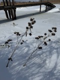 | Hibiscus moscheutos subsp. moscheutos | 1844 | not recorded | |
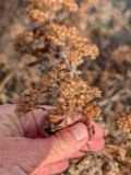 | Pluchea camphorata (L.) DC. | 1844 | not recorded | |
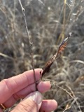 | Chamaecrista fasciculata (Michx.) Greene | 1846 | not recorded | |
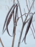 | Apocynum cannabinum L. | 1855 | F. C. Seymour | Rehoboth |
 | Astur Lacepède, 1799 | 1860 | C. D. Lincoln | Taunton |
 | Carex panicea L. | 1863 | J. H. Dean | |
 | Carex L. | 1864 | J. H. Dean | Taunton. |
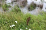 | Carex vulpinoidea Michx. | 1864 | J. H. Dean | |
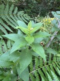 | Solidago latissimifolia Mill. | 1867 | Collector unknown | |
 | Mercenaria mercenaria (Linnaeus, 1758) | 1870 | Lermond, Norman | Providence, Narragansett Bay. In market at Providence. |
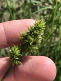 | Carex austrina Mack. | 1871 | S. T. Olney | Fields Point, Providence |
All 1,305 specimens within 10 miles, at the Global Biodiversity Information Facility.
Mines and quarries near this place
2 within 5 milesRegional context, not property-specific evidence. The federal mineral resources record lists 2 workings within 5 miles of Rehoboth: 1 past producer, 1 producer. 1 still produces. What was taken out: Sand and Gravel, Construction. Distance is straight-line from the map coordinates, so a quarry counted here may appear on a neighbouring settlement's page as well.
| Where | Site | Commodity | Status | Recorded |
|---|---|---|---|---|
| County Street Mine and Mill | Sand and Gravel, Construction | Producer | ||
| General Road Trucking Corp | Sand and Gravel, Construction | Past Producer | Sedimentary |
Storms near this place
22 since 1998Regional context, not property-specific evidence. The National Weather Service names Rehoboth in 22 storm reports between 1998 and 2024: 10 thunderstorm wind, 6 hail, 3 flash flood, 2 heavy rain. No death or injury is recorded in these reports. Each account below is quoted exactly as the forecast office filed it, from the NOAA Storm Events Database, and each date opens the federal record of that event.
| When | Event | Place named | Harm | What the report says |
|---|---|---|---|---|
| August 2022 | Heavy Rain | Rehoboth | $25,000 | In Rehoboth, a CoCoRAHS observer recorded 7.44 inches of rain! There were a few flooded basements reported. |
| July 2017 | Thunderstorm Wind | Rehoboth | $15,000 | At 250 PM EST, trees were brought down on Route 44 in Rehoboth. Trees were also brought down on Cedar Street, River Street, and Bay State Road between 250 PM and 310 PM EST. Multiple trees and wires were brought down on Elm Street and County Street. |
| July 2008 | Flash Flood | North Rehoboth | $10,000 | Heavy rain resulted in flash flooding in parts of Taunton. Winthrop Street was flooded with two feet of water and a car got stuck in flood waters on County Street. |
| March 2007 | Flood | Rehoboth | $10,000 | Urban and small stream flooding was reported after nearly 3 inches of rain fell in Bristol County. In Rehoboth, Wolf Plain Brook rose out of its banks and flooded Rocky Hill Road. Several roads in Fall River and New Bedford were closed after being inundated by flood waters. A small stream also came out of its banks in Dartmouth and flooded a nearby field. |
| July 2005 | Thunderstorm Wind | Rehoboth | $10,000 | no account filed |
| August 2020 | Thunderstorm Wind | North Rehoboth | $7,000 | In Rehoboth, a large tree fell onto wires on Oak Street. Also, on Tremont Street, a utility pole snapped, with a tree down on the wires. |
| November 2021 | Thunderstorm Wind | North Rehoboth | $1,500 | In Rehoboth, the Police Department reported trees down on Fairview Avenue, on Hornbine Road at Baker Street, and on Francis Street. |
| June 2024 | Thunderstorm Wind | Rehoboth | $1,000 | In Rehoboth, two trees were downed blocking Locust Ave. A tree was downed blocking Greenwood Dr. |
| August 2019 | Thunderstorm Wind | North Rehoboth | $1,000 | In Rehoboth, a tree was down on a house and a car on Fairview Avenue. Trees were down on Billings Road and County Street. |
| August 2023 | Thunderstorm Wind | Rehoboth | $500 | In Rehoboth, a tree was down. |
| July 2013 | Thunderstorm Wind | Rehoboth | $500 | Branches on Plain Street were downed by thunderstorm winds. |
| August 2024 | Thunderstorm Wind | North Rehoboth | $200 | In Rehoboth, there was a tree down on Bliss St. |
| June 2023 | Hail | Rehoboth | - | In Rehoboth at 439 PM EDT (339 PM EST), there was a social media photo of hail that ranged from dime to quarter size. The report time was radar-estimated. |
| July 2023 | Flash Flood | Rehoboth | - | Portion of Rt 44 (Winthrop St) is flooded to where Mass DOT was requested. |
| July 2012 | Hail | Rehoboth | - | Quarter to lime sized hail fell in Rehoboth. |
| July 2012 | Hail | North Rehoboth | - | Quarter to golfball size hail fell in Rehoboth. |
| June 2007 | Thunderstorm Wind | Rehoboth | - | Trees and wires downed in Rehoboth and Seekonk. |
| June 1998 | Flash Flood | Rehoboth | - | Palmer River |
| July 2012 | Hail | Rehoboth | - | no account filed |
| July 2012 | Hail | North Rehoboth | - | no account filed |
| July 2004 | Hail | Rehoboth | - | no account filed |
| September 2002 | Heavy Rain | Rehoboth | - | no account filed |
Nearest settlements
The eight closest, with where each one stands in the county. Distances are straight-line, computed from the Geographic Names Information System coordinates.
| Map | Place | Distance | Sheets |
|---|---|---|---|
| Perryville | 1.6 miles | 37 | |
| Perrys Corner | 2.6 miles | 33 | |
| West Dighton | 2.9 miles | 33 | |
| South Rehoboth | 3.0 miles | 37 | |
| Harris | 3.8 miles | 37 | |
| North Rehoboth | 4.6 miles | 33 | |
| Perrins Crossing | 5.0 miles | 36 | |
| Briggs Corner | 5.0 miles | 36 |
Provenance
This settlement is recorded in the Geographic Names Information System as feature 617359. The sheet list is computed by point-in-boundary test against the United States Geological Survey's historical topographic inventory. Both are works of the United States government and carry no copyright under 17 U.S.C. 105.
Wildfire. Short, Karen C. 2022. Spatial wildfire occurrence data for the United States, 1992-2020 [FPA_FOD_20221014]. 6th Edition. Fort Collins, CO: Forest Service Research Data Archive. https://doi.org/10.2737/RDS-2013-0009.6 Collected with United States Government funding and usable without additional permissions or fees.
Specimens. Global Biodiversity Information Facility (GBIF), https://www.gbif.org/. Only records licensed CC0 or CC BY are used. Records licensed CC BY-NC are excluded because this site carries advertising. Images are checked individually and any whose licence is non-commercial, no-derivatives or unreadable is refused.
Mines and quarries. USGS Mineral Resources Data System (MRDS) https://mrdata.usgs.gov/mrds/ A work of the United States government, no copyright under 17 U.S.C. 105.
Storms. NOAA National Centers for Environmental Information, Storm Events Database https://www.ncei.noaa.gov/stormevents/ A work of the United States government, no copyright under 17 U.S.C. 105. Narratives are quoted verbatim from the National Weather Service report and are not edited or summarised.