 Block
Block
Rootstown, Ohio
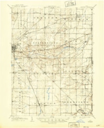
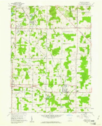
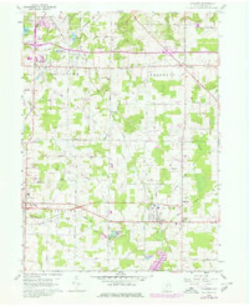
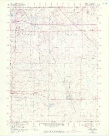
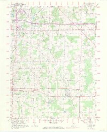
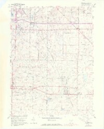
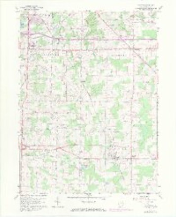
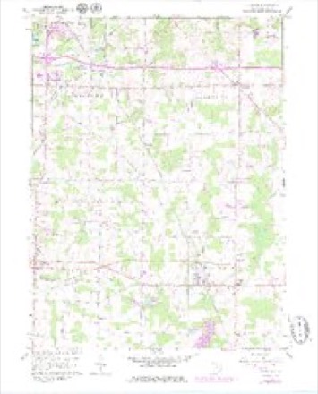
18 topographic sheets cover this place, the earliest surveyed in 1906 and the latest in 1994. It stands in Rootstown Township. It lies in ZIP code area 44272. It stands on New Milford Creek. The Survey maps it on the Atwater quadrangle. It stands 1,125 feet above sea level.
Then and now
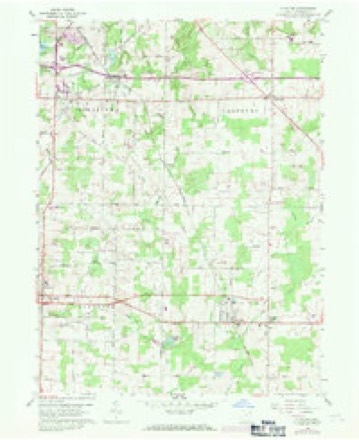
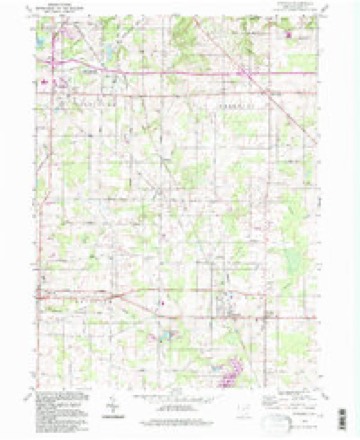
1906 to 1994The same ground, surveyed 88 years apart. Drag the handle to wipe between them. Both sheets are United States Geological Survey originals; neither has been altered.
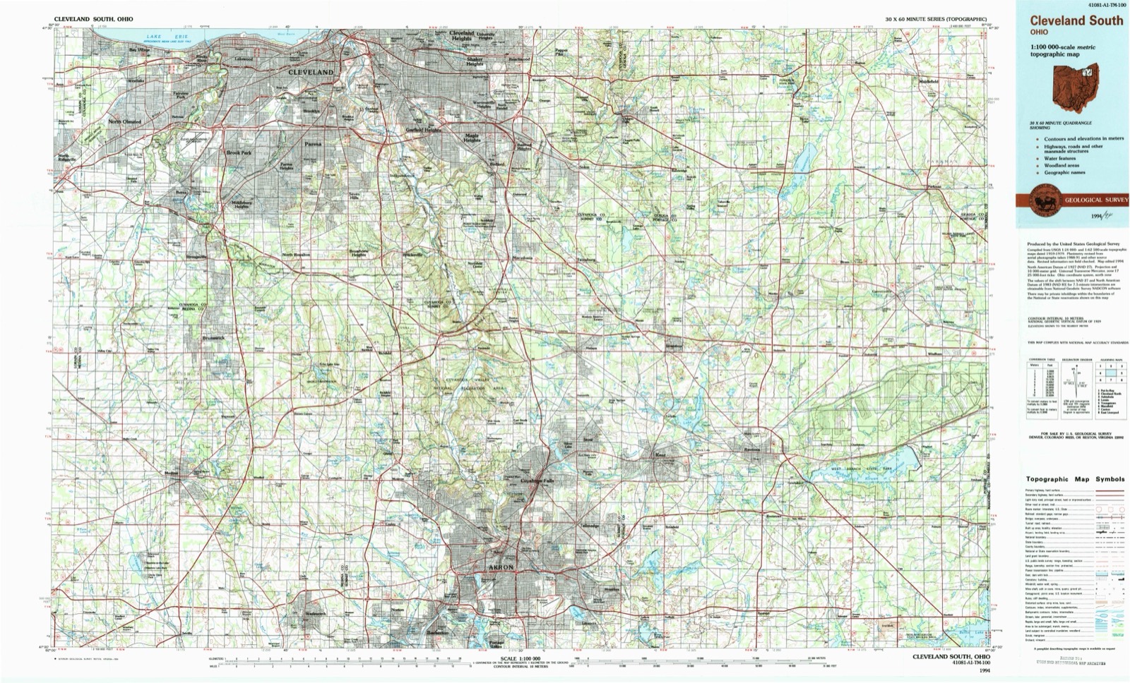
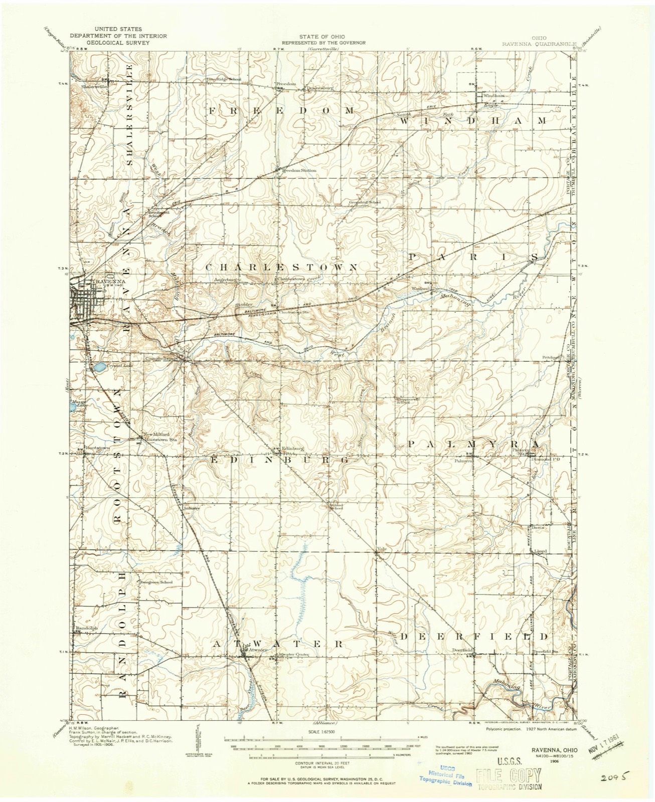
Topographic sheets covering this place
18 sheetsMatched by testing this settlement's coordinate against the published boundary of every sheet in the United States Geological Survey's historical collection. Each opens the scanned sheet at the Survey.
- 1906 USGS Ravenna quadrangle1:62500
- 1908 USGS Ravenna quadrangle1:62500
- 1908 USGS Ravenna quadrangle1:62500
- 1956 USGS Cleveland quadrangle1:250000
- 1956 USGS Cleveland quadrangle1:250000
- 1956 USGS Cleveland quadrangle1:250000
- 1960 USGS Atwater quadrangle1:24000
- 1960 USGS Atwater quadrangle1:24000
- 1960 USGS Atwater quadrangle1:24000
- 1960 USGS Atwater quadrangle1:24000
- 1960 USGS Atwater quadrangle1:24000
- 1960 USGS Atwater quadrangle1:24000
- 1960 USGS Atwater quadrangle1:24000
- 1960 USGS Atwater quadrangle1:24000
- 1962 USGS Cleveland quadrangle1:250000
- 1986 USGS Cleveland South quadrangle1:100000
- 1994 USGS Atwater quadrangle1:24000
- 1994 USGS Cleveland South quadrangle1:100000






In the county-history sources
4,242 words on this townshipHistory of Portage County, Ohio, published 1885 names this settlement in its chapter on Rootstown Township. These are the passages that mention it, exactly as the scans read.
The first death of a white person in Rootstown was that of the young man spoken of above, Davenport. He had over-heated himself and lain down on the damp ground, whereby he took a violent cold, that in a short time caused his death. He was buried near where he died, on Lot 7.
Passage source: History of Portage County, Ohio, published 1885.
In 1802 Henry O'Niell and Samuel McCoy, natives of Ireland, who had a lived in Pennsylvania awhile, moved in and settled on Lot 3. O'Niell had a family of children, mostly grown; McCoy had only a wife. Together they put up a cabin, but McCoy afterward moved to Lot 28, and put up a cabin by the well-known "McCoy Springs." He was a man of very little education, but could, in the language of the old English tar, "play the fiddle like a hangel! " Mr. O'Niell was well educated, and in 1806 was elected Justice of the Peace for Franklin, which at that time comprised what is now Franklin, Ravenna, Rootstown, Atwater, Randolph, Suffield and Brimfield. O'Niell erected the first distillery, a small affair, but enough to supply the wants of himself and McCoy and their families, and a few friends in the neighborhood. He remained Justice for four or five years, but his magisterial career was cut very short just before he left in 1811. He had offended some person by one of his decisions, when that person went to the Irish Justice and asked him to show his naturalization papers. Being unable to do so, he was informed that he was liable to prosecution for illegally exercising the duties of a magistrate without being a citizen, and that if he did not immediately " git up and dust," he would be arrested. He left, and the township lost one of its best residents.
Passage source: History of Portage County, Ohio, published 1885.
Penn., but had been living on the Ohio River about thirty miles below Pittsburgh. In January, 1803, John Caris, a son of Frederick, came in, and with him Arthur Anderson, both of whom wei'e engaged by Root to clear land. In April following John Caris, a brother of Frederick, with his wife, came and settled at Muddy Lake. Anderson returned to Pennsylvania, married, and then lived in Ravenna awhile, but finally came to Rootstown.
Passage source: History of Portage County, Ohio, published 1885.
Machine-read from a century-old scan, so expect the errors a machine makes: misspelled names, dropped words, stray characters.
Read the whole chapter on Rootstown Township - it names this place 9 more 9 times.
Photographs
1 photograph,Taken for the Office of War Information and the Farm Security Administration, who photographed the country between 1935 and 1944. Works of United States government photographers, with no known restriction on use. Each opens its catalogue record.
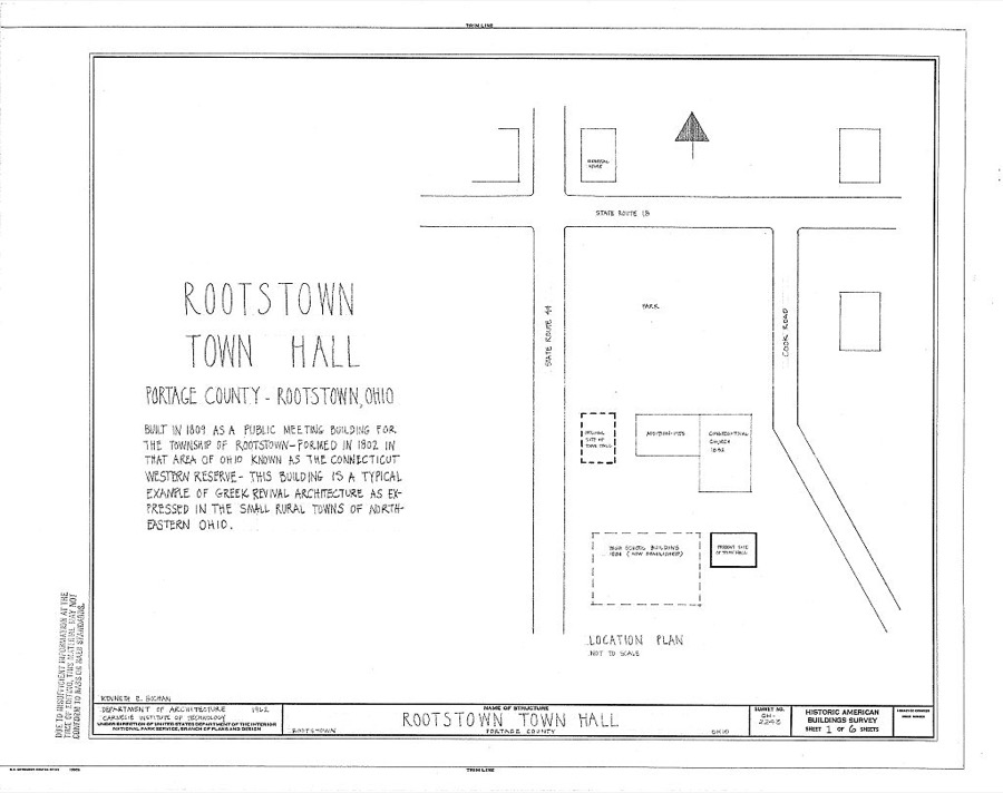
Unattributed, . Library of Congress
Specimens collected near this place
12 of 686 shownRegional context, not property-specific evidence. Museums hold 686 specimens collected within 10 miles of Rootstown between 1880 and 1975: 420 Animalia, 228 Plantae, 31 Fungi, 5 Unrecorded, 1 Protozoa, 1 Bacteria. 12 distinct Species records are shown. Collected by A. D. Huryn, A. F. Clewell, A. K. Wyatt and others. Each is a physical object with a catalogue number, and each entry opens the museum's record. This is what was collected and kept, not a survey of what lives here - nothing can be concluded from a species being absent.
| Image | Species | Year | Collected by | Where, as recorded |
|---|---|---|---|---|
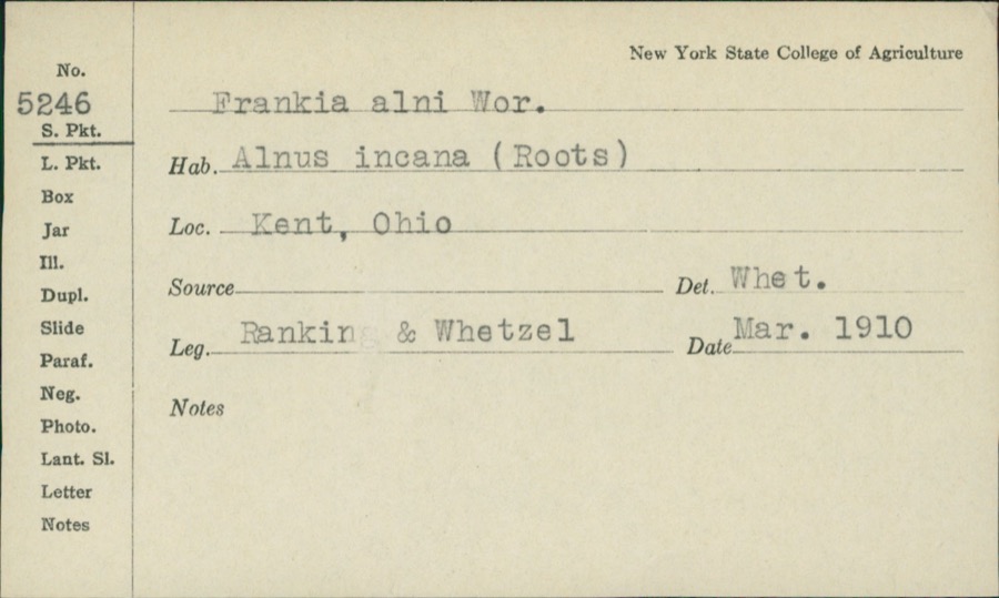 | Frankiella alni (Woronin) Maire & A.Tison | 1910 | Rankin; H.H. Whetzel | |
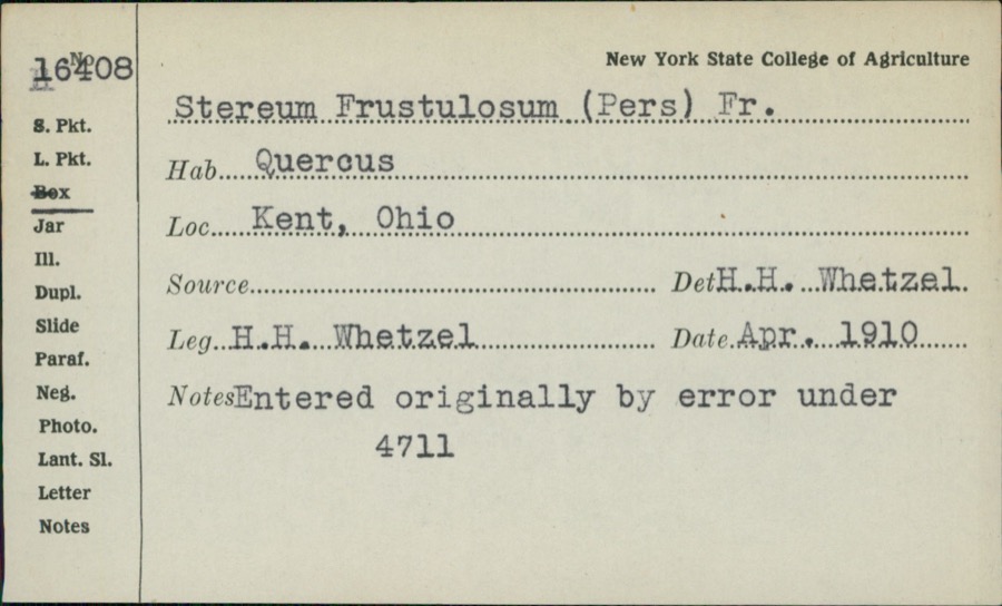 | Stereum frustulatum (Pers.) Fr. | 1910 | H.H. Whetzel | |
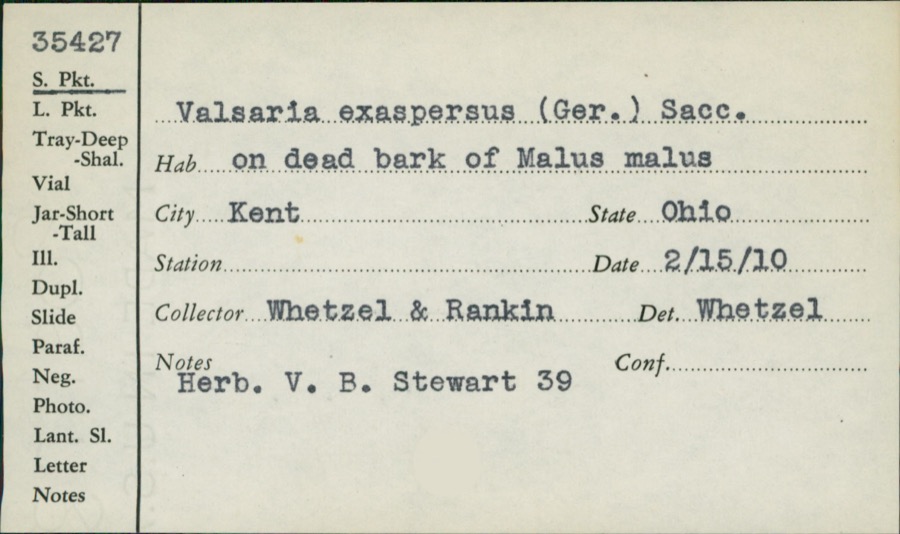 | Valsaria exasperans (W.R.Gerard) Sacc. | 1910 | Whetzel; Rankin | |
 | Icterus galbula (Linnaeus, 1758) | 1880 | Collection of R. Spires | Atwater, Near |
 | Colaptes auratus luteus Bangs, 1898 | 1883 | John C. Catlin | Ravenna |
 | Dolichonyx oryzivorus (Linnaeus, 1758) | 1883 | John C. Catlin | Ravenna |
 | Lepidozia reptans (L.) Dumort. | 1884 | Czekaj | |
 | Glaucomys volans volans (Linnaeus, 1758) | 1889 | C. P. Streator | Ravenna |
 | Ambloplites rupestris (Rafinesque, 1817) | 1893 | A. Woolman | Cuyahoga River, Kent, Ohio |
 | Cambarus propinquus Girard, 1852 | 1893 | Woolman | Cuyahoga River, Kent |
 | Catostomus commersonii (Lacepède, 1803) | 1893 | A. Woolman | Cuyahoga River, Kent, Ohio |
 | Esox americanus vermiculatus Lesueur, 1846 | 1893 | A. Woolman | Cuyahoga River, Kent, Ohio |
All 686 specimens within 10 miles, at the Global Biodiversity Information Facility.
Mines and quarries near this place
2 within 5 milesRegional context, not property-specific evidence. The federal mineral resources record lists 2 workings within 5 miles of Rootstown: 1 producer, 1 past producer. 1 still produces. What was taken out: Sand and Gravel, Construction. Distance is straight-line from the map coordinates, so a quarry counted here may appear on a neighbouring settlement's page as well.
| Where | Site | Commodity | Status | Recorded |
|---|---|---|---|---|
| Sober Pit | Sand and Gravel, Construction | Producer | ||
| Twin Lakes Sand and Gravel Pit | Sand and Gravel, Construction | Past Producer | Sedimentary |
Storms near this place
14 since 1995Regional context, not property-specific evidence. The National Weather Service names Rootstown in 14 storm reports between 1995 and 2026: 8 hail, 6 thunderstorm wind. No death or injury is recorded in these reports. Each account below is quoted exactly as the forecast office filed it, from the NOAA Storm Events Database, and each date opens the federal record of that event.
| When | Event | Place named | Harm | What the report says |
|---|---|---|---|---|
| June 1996 | Thunderstorm Wind | Rootstown | $75,000 | no account filed |
| July 2012 | Thunderstorm Wind | Rootstown | $50,000 | Thunderstorm winds downed many trees. At least five homes were damaged by fallen trees. |
| August 2009 | Thunderstorm Wind | Rootstown | $2,000 | Several trees were reported down across southeast Portage County. |
| June 2013 | Hail | Rootstown | $1,000 | The public reported quarter size hail falling near Rootstown. |
| July 2012 | Thunderstorm Wind | Rootstown | $1,000 | Thunderstorm winds downed a large tree limb. |
| March 2026 | Hail | Rootstown | - | Hail up to nickel-size about two-miles WNW of Rootstown. |
| March 2026 | Hail | Rootstown | - | Hail up to nickel-size in Rootstown. The hailfall lasted for about three minutes. |
| March 2020 | Hail | Rootstown | - | Penny-size hail in Rootstown. |
| May 2014 | Hail | Rootstown | - | Quarter sized hail was observed. |
| May 2012 | Hail | Rootstown | - | Quarter sized hail was observed. |
| February 2009 | Thunderstorm Wind | Rootstown | - | A trained spotter measured a 62 mph wind gust just east of Ravenna. No damage was reported along with the wind gust report. See the Portage County High Wind write up for details on damage associated with high winds. |
| June 2008 | Hail | Rootstown | - | Penny size hail was observed. |
| July 2008 | Hail | Rootstown | - | Penny size hail was observed. |
| July 1995 | Thunderstorm Wind | Rootstown | - | Large limbs were downed. |
Nearest settlements
The eight closest, with where each one stands in the county. Distances are straight-line, computed from the Geographic Names Information System coordinates.
| Map | Place | Distance | Sheets |
|---|---|---|---|
| Valley Hills | 1.5 miles | 18 | |
| New Milford | 1.5 miles | 18 | |
| Industry | 3.0 miles | 18 | |
| Campbellsport | 3.5 miles | 15 | |
| Ravenna | 4.0 miles | 15 | |
| Hamlet Park | 4.3 miles | 15 | |
| Black Horse | 4.4 miles | 14 | |
| West Park Homes | 4.5 miles | 14 |
Elsewhere
Matched on this settlement's Geographic Names Information System number rather than its name, so it cannot be a different place of the same name in another state.
| Wikidata item Q122564986 | The structured record the population and elevation above come from. Public domain (CC0). |
Provenance
This settlement is recorded in the Geographic Names Information System as feature 1061186. The sheet list is computed by point-in-boundary test against the United States Geological Survey's historical topographic inventory. Both are works of the United States government and carry no copyright under 17 U.S.C. 105.
Specimens. Global Biodiversity Information Facility (GBIF), https://www.gbif.org/. Only records licensed CC0 or CC BY are used. Records licensed CC BY-NC are excluded because this site carries advertising. Images are checked individually and any whose licence is non-commercial, no-derivatives or unreadable is refused.
Mines and quarries. USGS Mineral Resources Data System (MRDS) https://mrdata.usgs.gov/mrds/ A work of the United States government, no copyright under 17 U.S.C. 105.
Storms. NOAA National Centers for Environmental Information, Storm Events Database https://www.ncei.noaa.gov/stormevents/ A work of the United States government, no copyright under 17 U.S.C. 105. Narratives are quoted verbatim from the National Weather Service report and are not edited or summarised.