 Block
Block
Rose Hill, Ohio
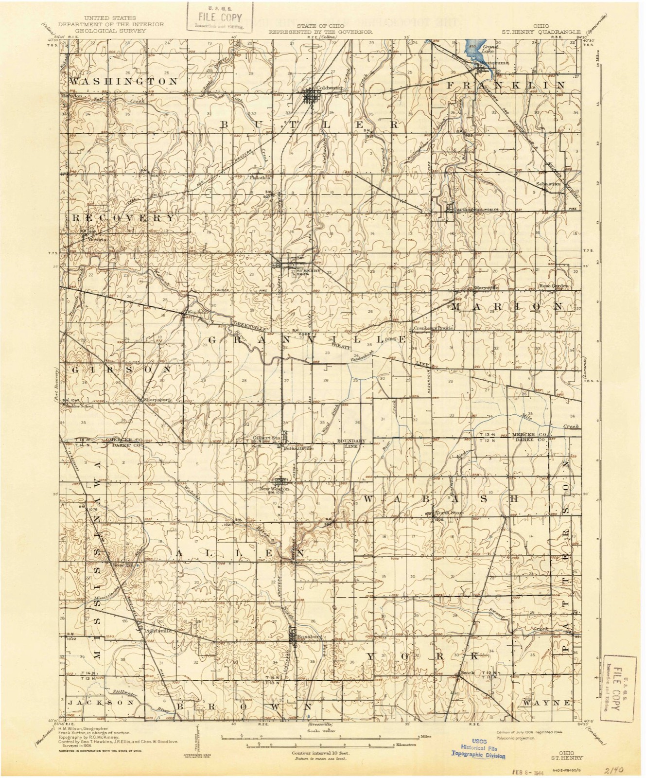
12 topographic sheets cover this place, the earliest surveyed in 1908 and the latest in 1986. It stands in Mississinawa Township. It lies in ZIP code area 45348. The Survey maps it on the Rossburg quadrangle.
Then and now
1908 to 1986The same ground, surveyed 78 years apart. Drag the handle to wipe between them. Both sheets are United States Geological Survey originals; neither has been altered.

Compare 1908 against another survey:
Topographic sheets covering this place
12 sheetsMatched by testing this settlement's coordinate against the published boundary of every sheet in the United States Geological Survey's historical collection. Each opens the scanned sheet at the Survey.
- 1908 USGS St. Henry quadrangle1:62500
- 1953 USGS Muncie quadrangle1:250000
- 1953 USGS Muncie quadrangle1:250000
- 1953 USGS Muncie quadrangle1:250000
- 1953 USGS Muncie quadrangle1:250000
- 1953 USGS Muncie quadrangle1:250000
- 1956 USGS Muncie quadrangle1:250000
- 1961 USGS Rossburg quadrangle1:24000
- 1961 USGS Rossburg quadrangle1:24000
- 1986 USGS Piqua quadrangle1:100000
- 1986 USGS Piqua quadrangle1:100000
- 1986 USGS Piqua quadrangle1:100000









In the county-history sources
1,643 words on this townshipThe History of Darke County, Ohio, Containing a History of the County; Its Cities, Towns, Etc.; General and Local Statistics; Portraits of Early Settlers and Prominent Men;, published 1880 names this settlement in its chapter on Mississinawa Township. These are the passages that mention it, exactly as the scans read.
It derived its name from its principal stream - the Mississinawa Creek, which rises near the center of the township, runs southeasterly just over into the edge of Allen Township, then southwesterly, crossing the pike nearly half-way from Rose Hill to Lightsville, and thence in a general course a little north of south of west to the county line, in the northern part of Section 30, one and three-fourths miles north of Jackson Township line.
Passage source: The History of Darke County, Ohio, Containing a History of the County; Its Cities, Towns, Etc.; General and Local Statistics; Portraits of Early Settlers and Prominent Men;, published 1880.
The surface is generally level, except the northwest portions, which are somewhat inclined to be hilly. The soil is warm and strong, and along the creek bottom is probably as productive as any other section of the county. About one-third of the surface of this township is timber-land with a fine growth of oak, ash, elm, hickory, sugar-maple and beech. Around the pleasant village of Rose Hill there is a greater predominance of yellowish clay in the soil, and the beech is found in the greatest numbers.
Passage source: The History of Darke County, Ohio, Containing a History of the County; Its Cities, Towns, Etc.; General and Local Statistics; Portraits of Early Settlers and Prominent Men;, published 1880.
Rose Hill is located one mile west of the eastern line of the township and three miles north at the corners of Sections 14, 15, 22 and 23. and was laid out in 1852. The village of Lightsville was laid out by William B. Light, in 1874. It is located on Section 26, just within the eastern boundary of the township, one and a half miles from the southeastern corner. It has a population of about one hundred and fifty.
Passage source: The History of Darke County, Ohio, Containing a History of the County; Its Cities, Towns, Etc.; General and Local Statistics; Portraits of Early Settlers and Prominent Men;, published 1880.
Machine-read from a century-old scan, so expect the errors a machine makes: misspelled names, dropped words, stray characters.
Read the whole chapter on Mississinawa Township - it names this place 4 more 4 times.
Specimens collected near this place
12 of 118 shownRegional context, not property-specific evidence. Museums hold 118 specimens collected within 10 miles of Rose Hill between 1915 and 1964: 116 Animalia, 2 Fungi. 12 distinct Species records are shown. Collected by Alexander, Athearn, Herbert D., B. Montgomery and others. Each is a physical object with a catalogue number, and each entry opens the museum's record. This is what was collected and kept, not a survey of what lives here - nothing can be concluded from a species being absent.
| Image | Species | Year | Collected by | Where, as recorded |
|---|---|---|---|---|
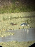 | Butorides virescens virescens (Linnaeus, 1758) | 1915 | Householder, V. | Ausonia, 1 mi E |
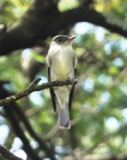 | Contopus virens (Linnaeus, 1766) | 1915 | Householder, V. | Ausonia, 3 mi W |
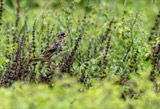 | Dolichonyx oryzivorus (Linnaeus, 1758) | 1915 | Householder, V. | 1 mi. E Ausonia |
 | Falco sparverius sparverius Linnaeus, 1758 | 1915 | Householder, V. | Ansonia, 1 mi E |
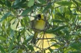 | Geothlypis trichas (Linnaeus, 1766) | 1915 | Householder, V. | Ausonia, 1 mi. E |
 | Icterus galbula (Linnaeus, 1758) | 1915 | Householder, V. | 1 mi. E Ausoria |
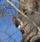 | Melanerpes erythrocephalus (Linnaeus, 1758) | 1915 | Householder, V. | Ansonia, 1 mi E |
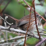 | Melospiza melodia melodia (A.Wilson, 1810) | 1915 | Householder, V. | 1 mi. E of Ansonia |
 | Passerina cyanea (Linnaeus, 1766) | 1915 | Householder, V. | 1 mi. E Ausouia |
| Pooecetes gramineus (J.F.Gmelin, 1789) | 1915 | Housholder | 1 mi. E. Ausoria | |
| Setophaga castanea (A.Wilson, 1810) | 1915 | Householder, V. | Ansonia, 1 mi. E | |
 | Tamiasciurus hudsonicus loquax (Bangs, 1896) | 1915 | V H Housholder | ANSONIA, 1 MI E OF |
All 118 specimens within 10 miles, at the Global Biodiversity Information Facility.
Storms near this place
2 since 1995Regional context, not property-specific evidence. The National Weather Service names Rose Hill in 2 storm reports between 1995 and 2008: 1 hail, 1 flash flood. No death or injury is recorded in these reports. Each account below is quoted exactly as the forecast office filed it, from the NOAA Storm Events Database, and each date opens the federal record of that event.
Nearest settlements
The eight closest, with where each one stands in the county. Distances are straight-line, computed from the Geographic Names Information System coordinates.
| Map | Place | Distance | Sheets |
|---|---|---|---|
| Lightsville | 1.7 miles | 12 | |
| Bucks Corner | 2.6 miles | 16 | |
| North Dayton | 3.1 miles | 16 | |
| Cosmos | 4.0 miles | 16 | |
| New Weston | 4.8 miles | 12 | |
| Rossburg | 5.1 miles | 12 | |
| Hunchberger Corners | 6.1 miles | 11 | |
| Buckhorn Corner | 6.5 miles | 19 |
Elsewhere
Matched on this settlement's Geographic Names Information System number rather than its name, so it cannot be a different place of the same name in another state.
| Wikipedia article on Rose Hill | An encyclopaedic summary. Its text is share-alike, so it is linked here rather than copied. |
| Wikidata item Q22134197 | The structured record the population and elevation above come from. Public domain (CC0). |
Provenance
This settlement is recorded in the Geographic Names Information System as feature 1057969. The sheet list is computed by point-in-boundary test against the United States Geological Survey's historical topographic inventory. Both are works of the United States government and carry no copyright under 17 U.S.C. 105.
Specimens. Global Biodiversity Information Facility (GBIF), https://www.gbif.org/. Only records licensed CC0 or CC BY are used. Records licensed CC BY-NC are excluded because this site carries advertising. Images are checked individually and any whose licence is non-commercial, no-derivatives or unreadable is refused.
Storms. NOAA National Centers for Environmental Information, Storm Events Database https://www.ncei.noaa.gov/stormevents/ A work of the United States government, no copyright under 17 U.S.C. 105. Narratives are quoted verbatim from the National Weather Service report and are not edited or summarised.