BlockBefore
Decorative drawing: a county panorama. Not a photograph of this place.

Darke County, Ohio

76 topographic sheets and 28 fire insurance atlases across 4 places.

Research this county

This curated hub for Darke County, Ohio brings together the page's documented record links, visible map or image evidence where published, and routes to related local records.

What is documented here?

Use the page's provenance and linked records to distinguish the source material from the site's navigation and summaries.

How should I cite it?

Open the original record, preserve its repository and identifier, then use the citation tool for this page as a path back to the source.

Where should I go next?

Follow the county or state hub for related places and records, then use the guide for a source-aware research sequence.

From the record

25 National Register listings · 45 businesses named in the fire insurance atlases from 1887 to 1951 · the 1880 county history tells 0 stories and names 2 people · people the book names include Some General Characteristics (Greenville Township, 1880) · General Orders (Adams Township, 1880) (machine-read).

Sources: the county history on the Internet Archive · the National Register database, National Park Service

Ohio within the United States
Darke County within Ohio
Explore by year 1822 1951

What the record shows

  • 4 places in this county were surveyed for fire insurance: Greenville, Arcanum, Versailles, Ansonia, between 1887 and 1951.
  • 28 fire insurance atlas(es) survive for the county. Topographic coverage is national; fire insurance survey reached only incorporated places with something worth insuring.
  • 1,044 topographic sheet readings cover the county's settlements.
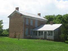
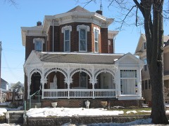
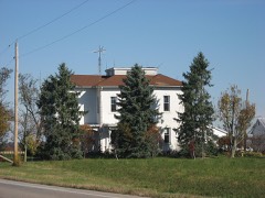
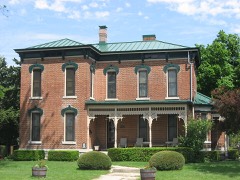
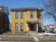
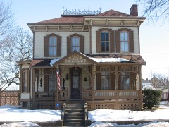
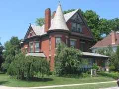
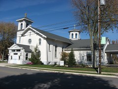
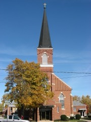
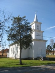
  • 25 properties here are on the National Register of Historic Places, including 13 houses and farms.
  • 17 of the 25 listings were added during the 1970s.
  • The Geographic Names Information System records 85 populated places in this county; 0 are covered by at least one topographic sheet.
  • 1 public-domain county history, 1880, supply 404,352 words of narrative reproduced here in full.

Places on the National Register

25

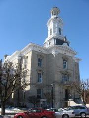
Every property in this county listed on the National Register of Historic Places, with the year it was listed and the federal nomination document.

Photograph PropertyType ListedReference
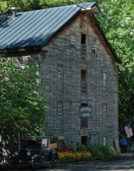
Bear's Millbuilding197575001372
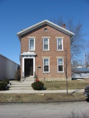
Beir, Anna, Housebuilding197777001055
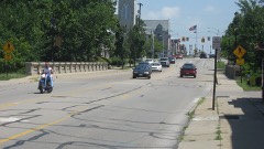
Broadway Bridgestructure199696000114
Brown Township Buildingbuilding198383001955
Clemens, James and Sophia, Farmsteadbuilding200101000199
Coppess, Benjamin Franklin Housebuilding197878002052
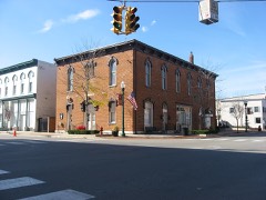
Darke County Courthouse, Sheriff's House, And Jailbuilding197676001409
English, William, Housebuilding198282003562
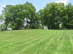
Fort Jefferson Sitesite197070000488
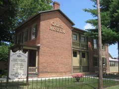
Garst Housebuilding197777001056
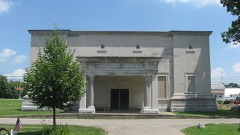
Greenville Mausoleumbuilding197676001410
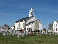
Holy Family Catholic Churchbuilding197979002817
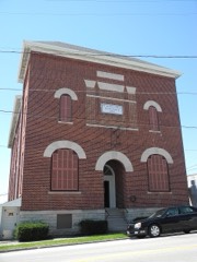
Knights of Pythias Hallbuilding2018100002876
Lambert-Parent Housebuilding198080002987
Lansdowne Housebuilding197979001824
Leftwich Housebuilding197575001373
Robeson, Dr. Donovan, Housebuilding197676001411
St. Louis Catholic Church and Rectorybuilding197979002835
St. Nicholas Catholic Church and Rectorybuilding197979002841
St. Peter Evangelical Lutheran Churchbuilding198080002988
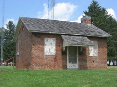
Studabaker-Scott House and Beehive Schoolbuilding197878002053
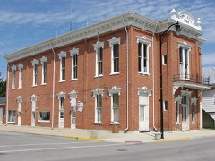
Versailles Town Hall and Wayne Township Housebuilding198181000432
Waring Housebuilding197777001057

Covered bridges

0

Darke County holds 0 covered bridges on the National Register, more than any other property type here. Each is a listed structure with a federal nomination on file.

Digitised newspapers

6 issues

Sampled issues, machine-read from the Library of Congress scan and published page by page, so every headline and column is searchable text.

The Greenville Journal

Greenville, Ohio, 1850 to 1918. Machine-read from the Library of Congress scan.

Bird's-eye views and land ownership maps

2

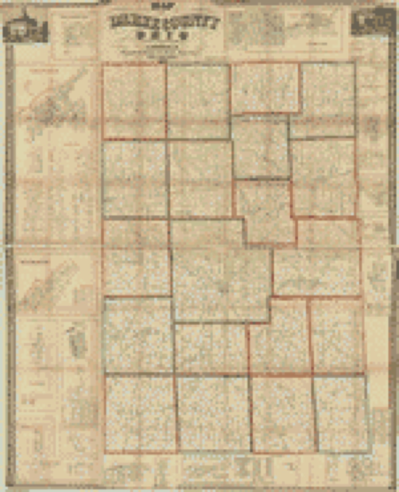
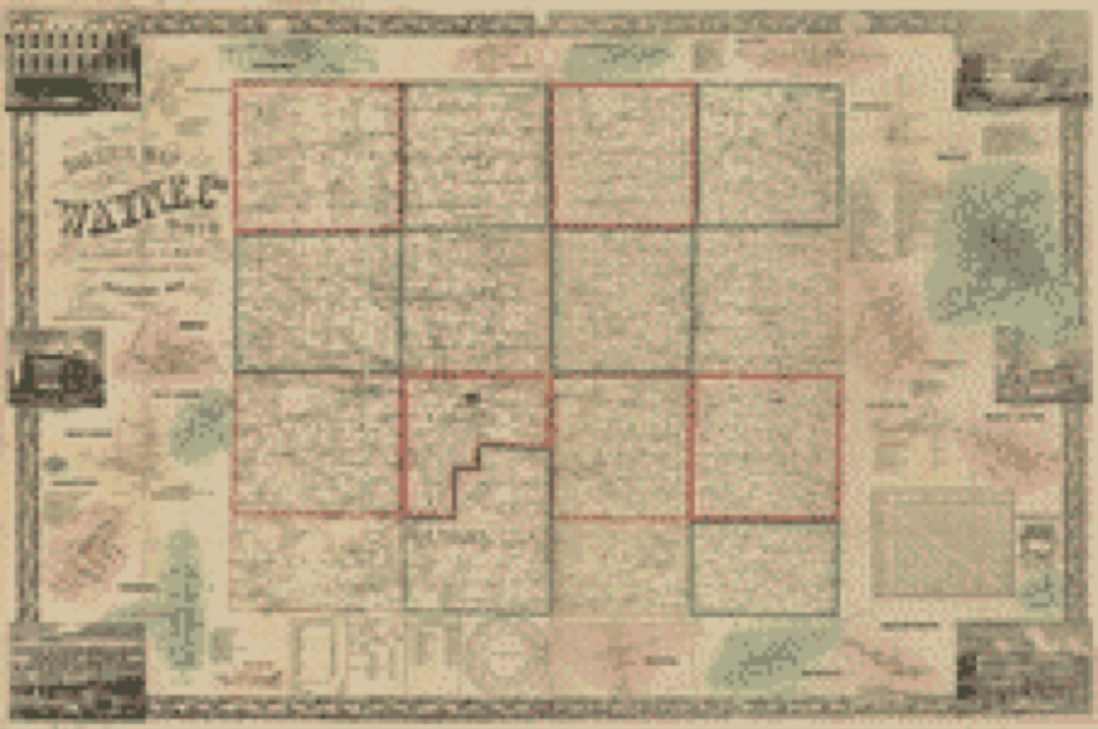
Drawn when these were printed as single large sheets: the town seen from the air, and the county divided into its farms with every owner named. Each opens the original at the Library of Congress.

Land ownership map, 1857 - Map of Darke County, Ohio
Land ownership map (1857) - Map of Darke County, Ohio. Library of Congress.
Land ownership map, 1856 - Baker's map of Wayne Co., Ohio
Land ownership map (1856) - Baker's map of Wayne Co., Ohio. Library of Congress.

The county from the air

25 of 255 shown

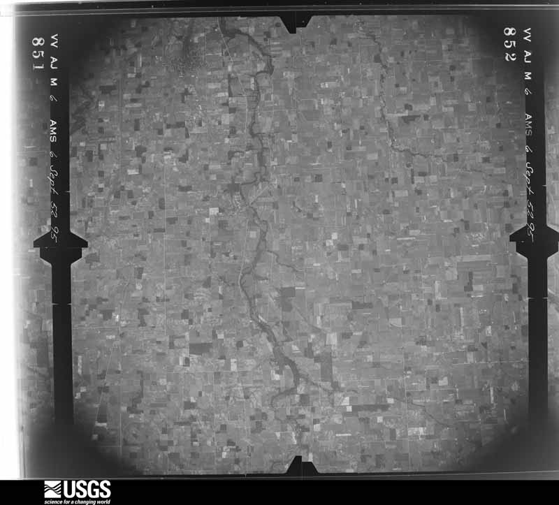
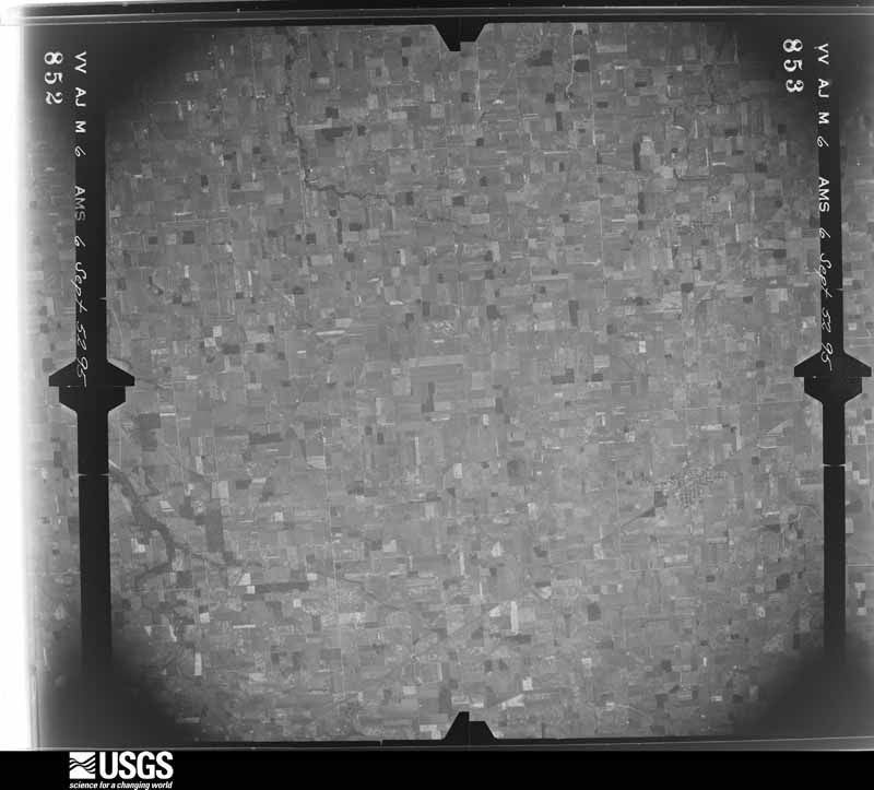
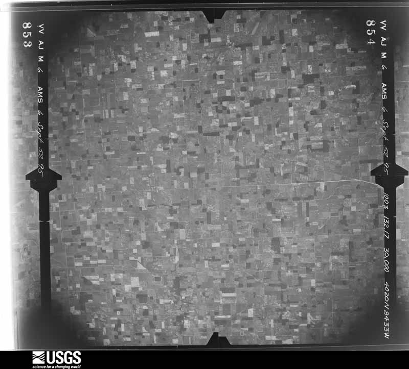
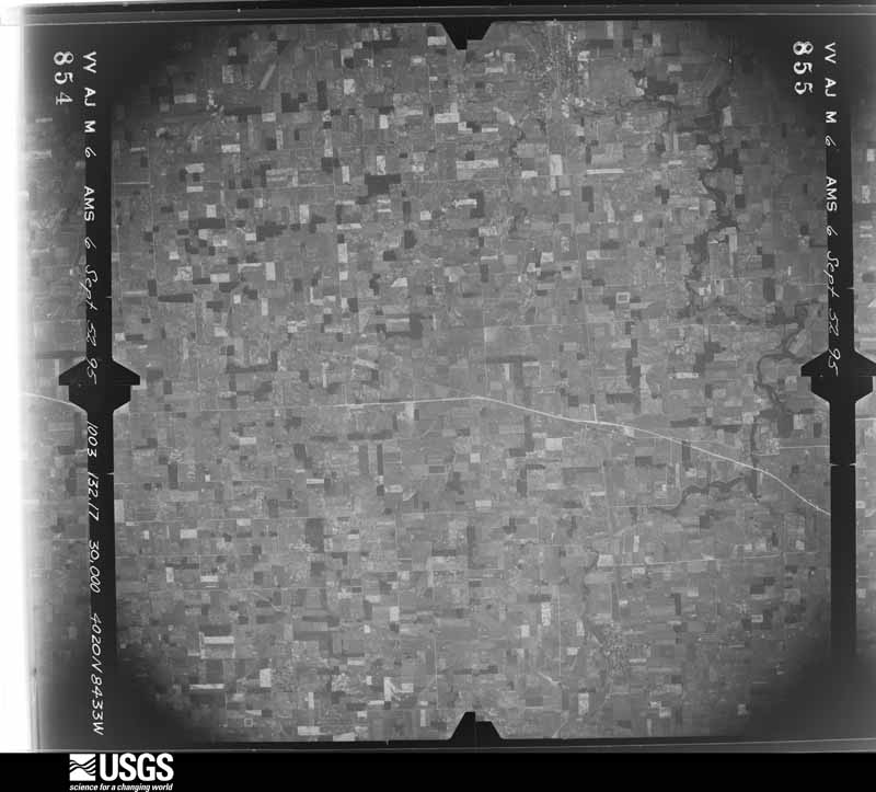
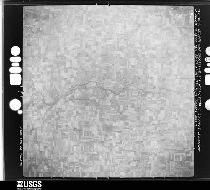
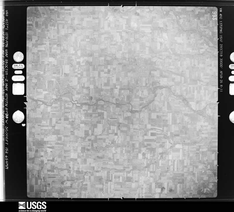
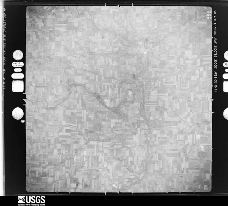
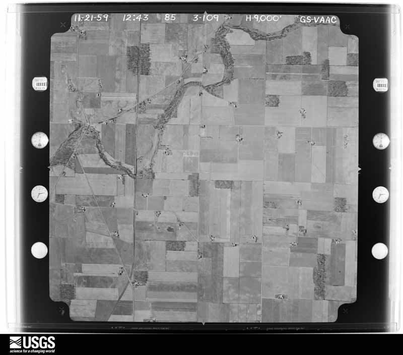
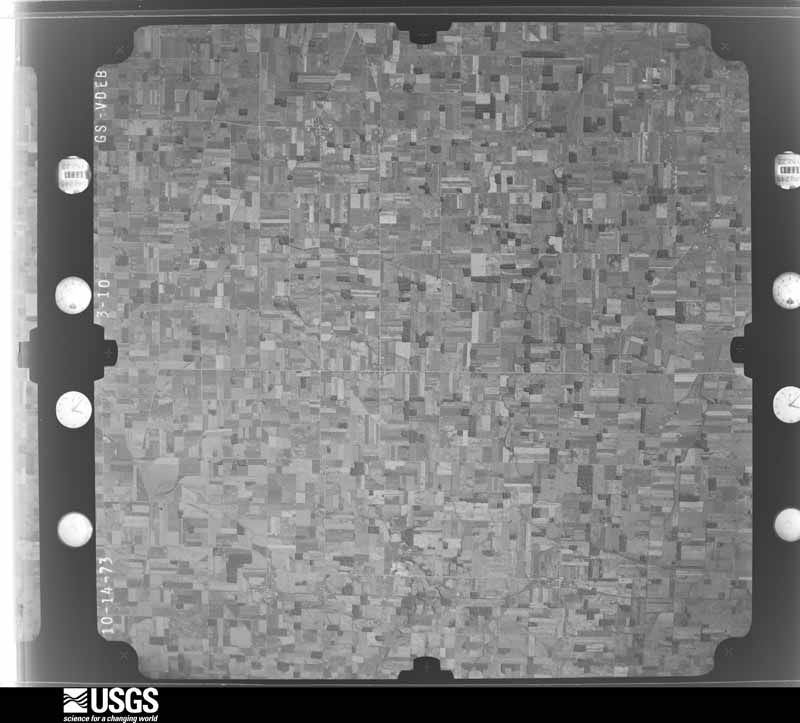
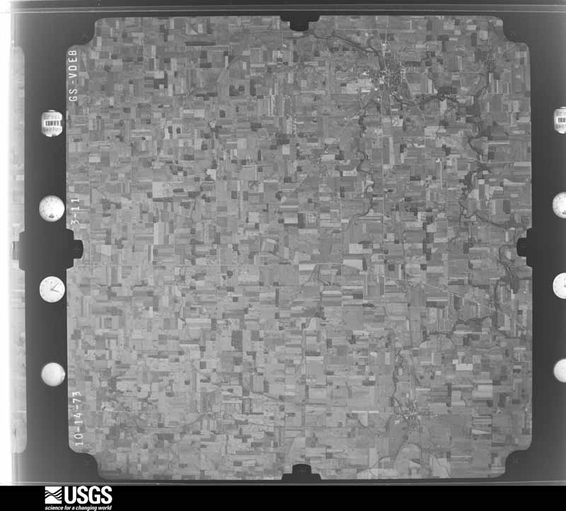
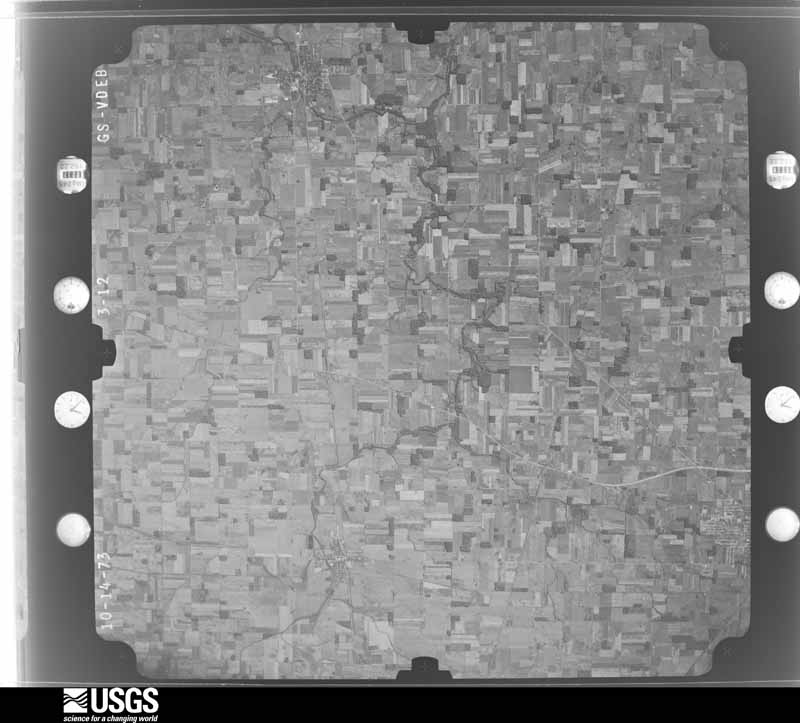
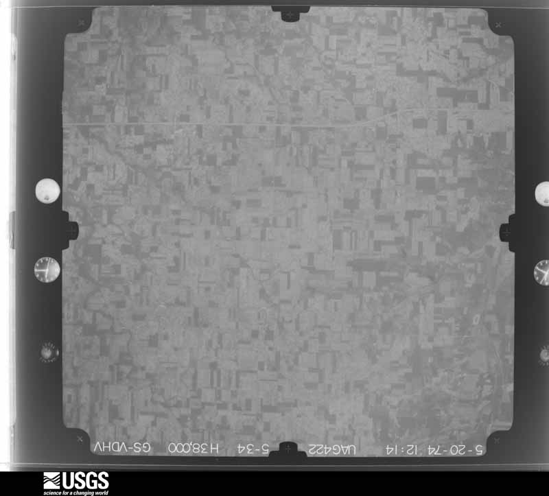
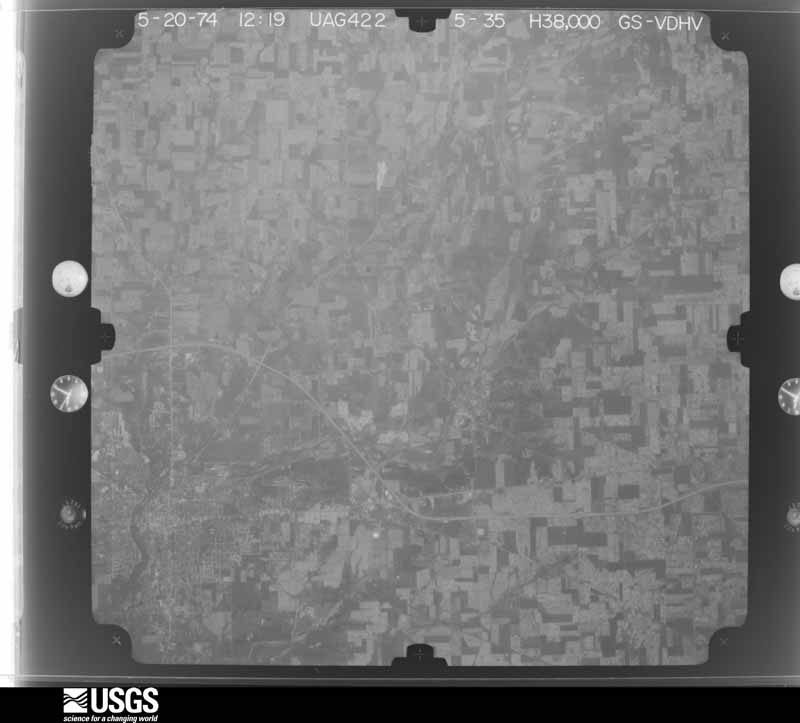
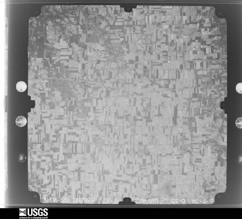
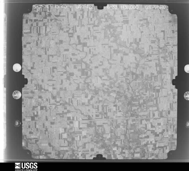
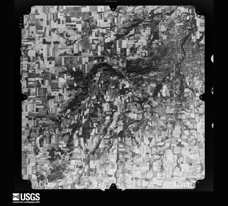
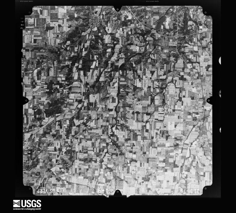
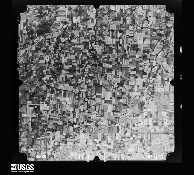
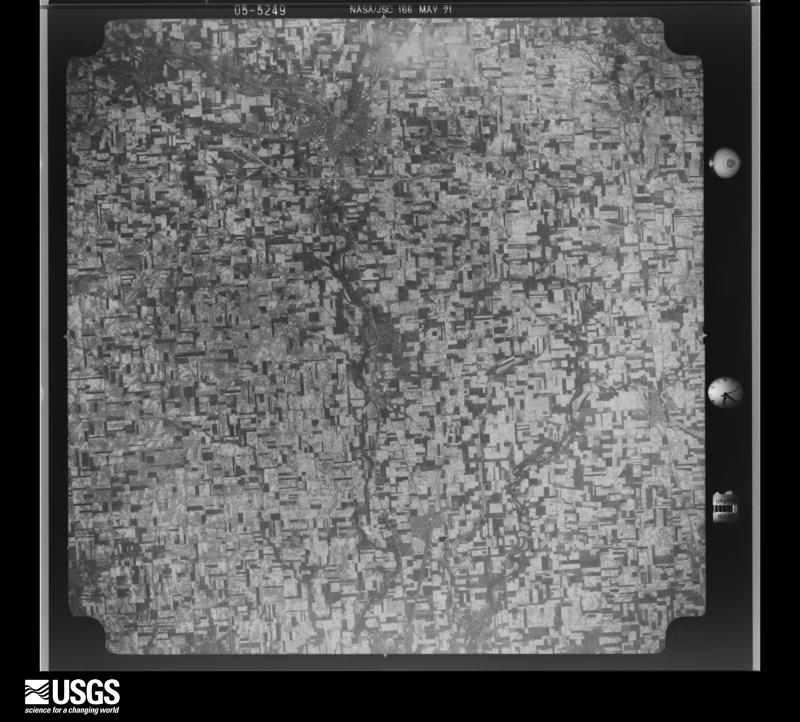
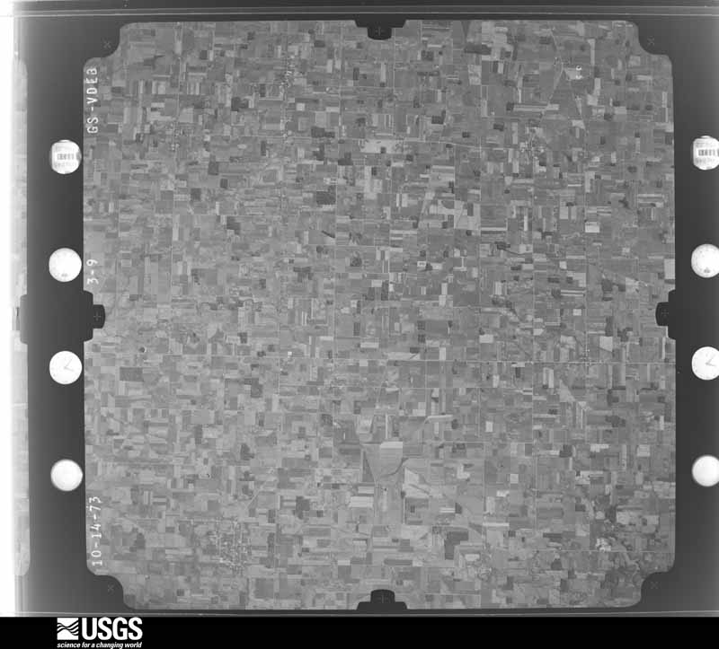
Flown by the U.S. Geological Survey between 1937 and 1989, the Aerial Photo Single Frames collection is the definitive mid-century view of the land: fields, roads and rivers as the camera saw them. 255 frames touch this county; the selection below spreads across the decades of flights (at most four per year), so one flight cannot crowd out the rest. The full set is free to browse and download at EarthExplorer under the dataset Aerial Photo Single Frames.

U.S. Geological Survey aerial photograph, 1952-09-06, scale 1:69000
1952-09-06, scale 1:69000. U.S. Geological Survey aerial photograph.
U.S. Geological Survey aerial photograph, 1952-09-06, scale 1:69000
1952-09-06, scale 1:69000. U.S. Geological Survey aerial photograph.
U.S. Geological Survey aerial photograph, 1952-09-06, scale 1:69000
1952-09-06, scale 1:69000. U.S. Geological Survey aerial photograph.
U.S. Geological Survey aerial photograph, 1952-09-06, scale 1:69000
1952-09-06, scale 1:69000. U.S. Geological Survey aerial photograph.
U.S. Geological Survey aerial photograph, 1959-10-28, scale 1:60000
1959-10-28, scale 1:60000. U.S. Geological Survey aerial photograph.
U.S. Geological Survey aerial photograph, 1959-10-28, scale 1:60000
1959-10-28, scale 1:60000. U.S. Geological Survey aerial photograph.
U.S. Geological Survey aerial photograph, 1959-10-28, scale 1:60000
1959-10-28, scale 1:60000. U.S. Geological Survey aerial photograph.
U.S. Geological Survey aerial photograph, 1959-11-21, scale 1:18000
1959-11-21, scale 1:18000. U.S. Geological Survey aerial photograph.
U.S. Geological Survey aerial photograph, 1960-05-03, scale 1:60000
1960-05-03, scale 1:60000. U.S. Geological Survey aerial photograph.
U.S. Geological Survey aerial photograph, 1971-05-16, scale 1:120317
1971-05-16, scale 1:120317. U.S. Geological Survey aerial photograph.
U.S. Geological Survey aerial photograph, 1971-05-16, scale 1:121613
1971-05-16, scale 1:121613. U.S. Geological Survey aerial photograph.
U.S. Geological Survey aerial photograph, 1971-05-16, scale 1:121613
1971-05-16, scale 1:121613. U.S. Geological Survey aerial photograph.
U.S. Geological Survey aerial photograph, 1971-05-16, scale 1:120281
1971-05-16, scale 1:120281. U.S. Geological Survey aerial photograph.
U.S. Geological Survey aerial photograph, 1973-10-01, scale 1:76000
1973-10-01, scale 1:76000. U.S. Geological Survey aerial photograph.
U.S. Geological Survey aerial photograph, 1973-10-01, scale 1:76000
1973-10-01, scale 1:76000. U.S. Geological Survey aerial photograph.
U.S. Geological Survey aerial photograph, 1973-10-01, scale 1:76000
1973-10-01, scale 1:76000. U.S. Geological Survey aerial photograph.
U.S. Geological Survey aerial photograph, 1973-10-01, scale 1:76000
1973-10-01, scale 1:76000. U.S. Geological Survey aerial photograph.
U.S. Geological Survey aerial photograph, 1974-05-01, scale 1:76000
1974-05-01, scale 1:76000. U.S. Geological Survey aerial photograph.
U.S. Geological Survey aerial photograph, 1974-05-01, scale 1:76000
1974-05-01, scale 1:76000. U.S. Geological Survey aerial photograph.
U.S. Geological Survey aerial photograph, 1974-05-01, scale 1:76000
1974-05-01, scale 1:76000. U.S. Geological Survey aerial photograph.
U.S. Geological Survey aerial photograph, 1974-05-01, scale 1:76000
1974-05-01, scale 1:76000. U.S. Geological Survey aerial photograph.
U.S. Geological Survey aerial photograph, 1979-11-01, scale 1:80000
1979-11-01, scale 1:80000. U.S. Geological Survey aerial photograph.
U.S. Geological Survey aerial photograph, 1979-11-01, scale 1:80000
1979-11-01, scale 1:80000. U.S. Geological Survey aerial photograph.
U.S. Geological Survey aerial photograph, 1979-11-01, scale 1:80000
1979-11-01, scale 1:80000. U.S. Geological Survey aerial photograph.
U.S. Geological Survey aerial photograph, 1979-11-01, scale 1:80000
1979-11-01, scale 1:80000. U.S. Geological Survey aerial photograph.

City directories

2 volumes

The "who lived here, by year" answer: pre-1929 public-domain directory volumes naming the county's people, machine-read and searchable as text.

Weather records

26 stations, 1 gages

The thermometers that kept this county's weather, and the gages that watched its rivers, as the federal records hold them. The extremes below are measured values from those records, not estimates.

The 1950 census, district by district

71 districts

Who lived here in 1950, one enumeration district at a time, as the Census Bureau described each district. Each row opens its official National Archives result, with Population Schedules and ED Maps available there.

  • 19-1Adams township: Bradford village - That part in Darke County comprising part of Adams township (Remainder of Bradford village is in Newberry township, Miami County)
  • 19-2Gettysburg village
  • 19-3Adams township - That part north of County Hwy. 33
  • 19-4Adams township - That part south of County Hwy. 33, outside Bradford and Gettysburg villages
  • 19-5Allen township: Burkettsville village - That part in Darke County comprising part of Allen township (Remainder of Burkettsville village is in Granville township, Mercer County)
  • 19-6New Weston village
  • 19-7Rossburg village
  • 19-8Allen township - That part north of County Hwy. 55, outside Burkettsville and New Weston villages
  • 19-9Allen township - That part south of County Hwy. 55, outside Rossburg village
  • 19-10Brown township: Ansonia village
  • 19-11Brown township - That part north of State Hwy. 47, outside Ansonia village
  • 19-12Brown township - That part south of State Hwy. 47, outside Ansonia village
  • 19-13New Madison village, comprising parts of Butler and Harrison townships: New Madison village - That part in Butler township
  • 19-14New Madison village - That part in Harrison township
  • 19-15Butler township, outside New Madison village: Castine village
  • 19-16Butler township - That part east of New York Central Railroad, outside Castine village
  • 19-17Butler township - That part west of New York Central Railroad, outside Castine and New Madison villages ( Remainder of Butler township is in New Madison village)
  • 19-18Franklin township: Franklin township - That part north of State Hwy. 71 and north and west of Painter Creek
  • 19-19Franklin township - That part south of State Hwy. 71 and south and east of Painter Creek
  • 19-20Greenville township: Greenville city: Greenville city - That part of Ward 1 Bounded by City limits; N. Broadway; Greenville Creek, City limits; City limits
  • 19-21Greenville city - That part of Ward 1 Bounded by Greenville Creek; S. Broadway, W. Main, Vine, W. 4th, Sweitzer; Oakwood, Ward line; City limits
  • 19-22Greenville city - That part of Ward 1 Bounded by W. Main, S. Broadway; W. 4th, Central Ave.; Olive; Sweitzer, W. 4th, Vine
  • 19-23Greenville city - That part of Ward 2 Bounded by W. 4th, s. Broadway, Martin; Ward line, Devor, Baltimore and Ohio Railroad; Front; Central Ave.
  • 19-24Greenville city - That part of Ward 2 Bounded by Front; Baltimore and Ohio Railroad; Pine; Sweitzer, Olive, Central Ave.
  • 19-25Greenville city - That part of Ward 2 Bounded by Ward line, Oakwood, Sweitzer, Pine; Baltimore and Ohio Railroad, Jackson; Martz; City limits
  • 19-26Greenville city - That part of Ward 2 Bounded by Martz; Jackson, City limits; City limits; City limits
  • 19-27Greenville city - That part of Ward 3 Bounded by E. 4th; City limits; Martin; Warren, E. 5th, Grant
  • 19-28Greenville city - That part of Ward 3 Bounded by E. 4th; Grant, E. 5th, Warren; Martin; S. Broadway
  • 19-29Greenville city - That part of Ward 3 Bounded by Martin; City limits; City limits; Markwith Ave., 12th, Baltimore and Ohio Railroad, Devor, Ward line
  • 19-30Greenville city - That part of Ward 3 Bounded by 18th; Markwith Ave., City limits; City limits; Jackson, Baltimore and Ohio Railroad
  • 19-31Greenville city - That part of Ward 4 Bounded by City limits; City limits, E. 4th; S. Broadway; E. Main, Wagner Ave.
  • 19-32Greenville city - That part of Ward 4 Bounded by City limits; Wagner Ave., E. Main; S. Broadway; N. Broadway
  • 19-33Greenville township - That part east of U.S. Hwy. 127 and north of State Hwy. 71, outside Greenville city
  • 19-34Greenville township - That part west of U.S. Hwy. 127 and north of State Hwy. 71, outside Greenville city
  • 19-35Greenville township - That part south of State Hwy. 71, outside Greenville city
  • 19-36Harrison township, outside New Madison village: Hollansburg village
  • 19-37AHarrison township - That part outside Hollandburg and New Madison villages Bounded by Township line; Township line; New Madison village limits, New Madison Rd., Downing Fruit Farm Rd., High Point Farm Rd., Cedar Grove Rd.; Township line
  • 19-37BHarrison township - That part outside Hollandburg and New Madison villages Bounded by Cedar Grove Rd., High Point Farm Rd., Downing Fruit Farm Rd., New Madison Rd., New Madison village limits; Township line; Township line; Township line
  • 19-38Jackson township: Union City village: Union City village - That part north of E. Elm (State Hwy. 32)
  • 19-39Union City village - That part south of E. Elm (State Hwy. 32)
  • 19-40Jackson township - That part north and west of State Hwy. 47, outside Union City village
  • 19-41Jackson township - That part south and east of State Hwy. 47, outside Union City village
  • 19-42Liberty township: Palestine village
  • 19-43Liberty township - That part north of U.S. Hwy. 36, outside Palestine village
  • 19-44Liberty township - That part south of U.S. Hwy. 36, outside Palestine village
  • 19-45Mississinawa township
  • 19-46Monroe township: Pitsburg village
  • 19-47Monroe township - That part northeast of State Hwy. 49, outside Pitsburg village
  • 19-48Monroe township - That part southwest of State Hwy. 49
  • 19-49Neave township
  • 19-50Patterson township: Osgood village
  • 19-51Yorkshire village
  • 19-52Patterson township - That part outside Osgood and Yorkshire villages
  • 19-53Richland township
  • 19-54Twin township: Arcanum village: Arcanum village - That part east of Dayton and Union Railroad
  • 19-55Arcanum village - That part west of Dayton and Union Railroad
  • 19-56Gordon village
  • 19-57Ithaca village
  • 19-58Twin township - That part north of County Rd. 49, outside Arcanum village
  • 19-59Twin township - That part south of County Rd. 49, outside Gordon and Ithaca villages
  • 19-60Van Buren township: Van Buren township - That part north of State Hwy. 49 and County Rd. 51
  • 19-61Van Buren township - That part south of State Hwy. 49 and County Rd. 51
  • 19-62Wabash township: North Star village
  • 19-63Wabash township - That part outside North Star village
  • 19-64Washington township
  • 19-65Wayne township: Versailles village: Versailles village - That part Bounded by Village limits; Village limits; New York Central Railroad; Village limits
  • 19-66Versailles village - That part Bounded by New York Central Railroad; N. Center, S. Center, S. Center extended; Village limits; Village limits
  • 19-67Versailles village - That part Bounded by New York Central Railroad; Village limits; Village limits; S. Center extended, S. Center, N. Center
  • 19-68Wayne township - That part north of New York Central Railroad, outside Versailles village
  • 19-69Wayne township - That part south of New York Central Railroad, outside Versailles village
  • 19-70York township

Businesses named in the atlases

45 businesses

Every Sanborn volume opens with a printed index naming the town's mills, tanneries, hotels and works by proprietor. Those indexes were read off the scanned sheets by machine and then matched to each other, so a business surveyed four times appears here once, with the years it survived. 11 of these 45 were named in more than one atlas. Each carries a crop of the line it was read from: the spelling is the recogniser's and the 1880s lithographer's, and the scan behind it is the proof.

Wildfire, 2002 to 2002

1 fires

Every wildfire the federal occurrence database records inside this county: 1 of them, burning about 1 acres. 0 started naturally and 0 were recorded as arson. Each settlement page carries the fires within five miles of it.

Reported cause Fires
Equipment and vehicle use1

The five largest, by the area the report gives. None of them was recorded as arson.

DateCause SizeReported by Name on the report
2 November 2002Equipment and vehicle use1.0 acresOhio State Fire Marshal's Officenot named

Every settlement page carries the fires within five miles of it - see the settlement index below.

Storms, 1955 to 2026

60 of 453 shown

The NOAA Storm Events Database holds 453 reports for this county, causing 0 deaths, 29 injuries and about $34,950,450 in recorded property damage. Each settlement page carries the reports that name it.

Kind of event Reports
Thunderstorm Wind252
Hail98
Flood37
Tornado31
Flash Flood30
Heavy Rain3
Lightning2

The most serious of them, by death, then injury, then recorded damage. The accounts are quoted exactly as the forecast office filed them.

WhenEvent Place namedHarm What the report says
November 1992Tornado (F3)not stated21 hurt, $25,000,000no account filed
March 2024Tornado (EF1)Hill Grove2 hurt, $500,000The tornado developed at 1850EST in Randolph County, Indiana, just south of Farmland. The tornado traveled east across Randolph County and entered Darke County, Ohio, at 1920EST, about 2.5 miles west-southwest of Hill Grove. ||As the tornado moved east across Darke County, it produced EF-1 damage at several locations, with winds estimated to be as high as 110 MPH. Some of the roads with the greatest impact in Darke County were Fisher Dangler Road, Fox Road, and Horatio Harris Creek Road. Several homes had partial roof removal, with debris scattered into tree lines and across adjacent fields. Two injuries were reported in Greenville Township.||The tornado entered Miami County at 1952EST as it crossed State Route 721, just north of Grandview Drive. The tornado ended along State Route 48, near the intersection with Klinger Road at 2000EST.
July 1961Tornado (F3)not stated2 hurt, $250,000no account filed
May 1965Tornado (F1)not stated2 hurt, $25,000no account filed
November 1955Tornado (F3)not stated1 hurt, $2,500,000no account filed
June 2002LightningUnion City1 hurtno account filed
April 1980Tornado (F2)not stated$2,500,000no account filed
May 2024Tornado (EF1)Coletown$500,000The tornado began near the intersection of Greenville-Nashville Road and New Madison-Coletown Road, where several trees were uprooted. The tornado continued northeast across State Route 502. Minor damage to homes and trees was observed on Daly Road west of Greenville. The width of the tornado increased significantly as the tornado entered Greenville. Numerous trees were snapped or uprooted within the Greenville Union Cemetery.||As the tornado continued through the north side of Greenville, the width of the circulation remained large, with expansive tree damage throughout the city. The majority of the wind damage to homes was fairly minor with shingles and siding removed at many residences. Structure damage at the high school football field was also observed. Based on the damage in Greenville, maximum wind speeds were estimated to be around 110 mph.||The tornado exited Greenville near the elementary school and continued along Kruckeburg Road where it damaged some outbuildings and homes. Additional tree and structure damage was observed along Childrens Home Bradford Road as the tornado continued northeast. The final damage was found along Auld Road, northwest of Bradford.
May 2019Tornado (EF1)New Madison$500,000A tornado briefly touched down in and near the village of New Madison. Much of the damage was consistent with EF0 wind speeds, as numerous large tree branches were damaged and minor roof damage occurred to structures. There was some damage indicative of EF1 winds of around 90 mph, namely large sections of roof uplifted at a lumber yard barn storage building. Elsewhere through the village, there was brick damage to the front facade of a downtown business, in addition to broken windows and some uplift of roof material. Much of this damage was more indicative of EF0 winds.
November 1996Thunderstorm WindIthaca$300,000no account filed
June 1981Tornado (F1)not stated$250,000no account filed
March 2022Tornado (EF0)Frenchtown$150,000The first signs of damage with the tornado occurred near the intersection of OH-185 and Conover Road, where minor damage to a few trees and homes occurred. The tornado moved east-northeast and caused more significant damage to a few properties on Versailles Yorkshire Road, just south of Burns Road. At one property, two large barns were leveled and roof damage was observed to other structures. A home on the southeast corner of the Versailles Yorkshire Road and Burns Road intersection had a small amount of roofing material removed, along with more extensive shingle damage and a few trees uprooted. A car at this property was moved from its parked position and a piece of plywood was embedded under the hood.||Continuing to the east-northeast, two properties on the north side of Burns Road sustained damage, along with numerous trees that were downed in a small stand of hardwoods. There was quite a bit of roof damage to outbuildings at these properties along with some minor damage to more well-built structures. One home had a notable amount of mud splatter on a south-facing garage door. Eyewitness reports and photography indicated that debris from these locations traveled over a quarter mile across the open fields.||Damage was also observed at a cluster of homes on Reed Road, just north of Burns Road. Most of the structural damage here was minor, primarily limited to fascia and siding. At least 20 to 30 trees in this area sustained damage with some of them uprooted and numerous others with large limbs snapped off. Debris from this cluster of properties was observed along a treeline across Reed Road to the east.||Additional minor tree damage occurred on Cramer Road. The last visible damage from this tornado occurred in a treeline south of Murphy Road along Swamp Creek, where a few large limbs were downed.
June 2022Tornado (EF1)Gordon$100,000The tornado touched down in open farm fields to the west of Schnorf-Jones Road and immediately intensified and hit a farm, heavily damaging barns and outbuildings. The tornado continued east and crossed Red River-West Grove Road, where another farm was struck. At this location, a house received roof damage and several barns were damaged. The tornado lifted in a field east of Highway 49. Several people witnessed the tornado on the ground in this area, including video footage of debris being lifted from the ground.||Damage at the first farmstead was consistent with wind speeds of around 100 mph, or EF-1 damage. The second farmstead sustained damage consistent with wind speeds of around 75 mph.
May 2019Tornado (EF1)Glen Karn$100,000The tornado initially touched down just inside the Ohio state line in southwest Darke County, about 2 miles south of the village of Hollansburg. Damage began as downed trees along with a barn roof and walls that were lifted and carried about 200 yards downwind on Hollansburg-Richmond Road. There was evidence of a convergent debris pattern and some evidence of back splatter, indicative of a tornado. The tornado continued over open fields until it destroyed another barn, just south of Moore Road, completely removing the roof and roof joists and collapsing exterior walls. There was also siding and awning damage to the home, as well as a large uprooted tree. The damage in this area was consistent with EF1 winds of 90 mph. ||The tornado continued to Payne Road, resulting in some roof and siding damage to a barn, more indicative of EF0 damage.
September 2003Tornado (F1)New Weston$100,000A brief tornado touched down across the extreme northern part of the county. One barn was destroyed, and another barn had its roof blown off. Two nearby silos sustained some damage. In total, nine farm buildings sustained damage from the tornado. Two nearby houses had minor structural damage. Winds were estimated to be near 80 mph.
May 2002Thunderstorm WindGreenville$100,000Several mobile homes in the Sherwood Forest Trailer Park suffered severe damage, and a nearby 10' by 12' shed was destroyed. The roof of a home on Hog Path Road was torn off.
October 2010Thunderstorm WindCastine$85,000Structural damage occurred to a barn and a house due to damaging thunderstorm winds. Twenty-five power poles were also reported down around the area due to the thunderstorm winds.
March 2016Tornado (EF1)Arcanum$75,000Damage was first observed along Grubbs-Rex Road. A large garage had one of its doors partially pushed inward. The most significant damage occurred at a property located south of Dull Road. A horse stable at the southern end of the property was almost completely destroyed. The southernmost addition to this stable suffered from complete collapse of external walls with some of the wooden anchor posts completely ripped from the ground. Minor damage to walls, windows and roof ornamentation was also noticed on two other outbuildings at this location. A brick house was generally undamaged, aside from some isolated removal of shingles. Throughout this area, tree damage was significant. Large limbs were spread almost everywhere with several trees downed and others snapped off above ground level. Debris from the stable was found deposited in trees in several other places on the property.||Debris from the Dull Road location, including large pieces of sheet metal, was spread for long distances to the north of the property. A significant amount of this debris was deposited between the damage area and Dull Road. Very minor roof damage was also observed on a barn located just north of Dull Road.||Numerous pieces of debris were found between Dull Road and east South Street (State Route 49). A few pieces were even found just north of east South Street. A lack of trees along this segment of the path made it difficult to determine the exact end point of the tornado. It is estimated that the tornado lifted in the vicinity of east South Street.
October 2010Tornado (EF1)Braffettsville$75,000The tornado touched down in Preble County at 1040 EST and continued into Darke County at 1041 EST before lifting at 1048 EST. The path width was 30 yards. The tornado traveled for 0.29 miles in Preble County and then 4.06 miles in Darke County. The damage was consistent with winds around 80 miles per hour in Preble County and 90 miles per hour in Darke County. The tornado was rated an EF0 in Preble County and an EF1 in Darke County. The tornado touched down initially in open farm land north of Eldorado-Whitewater Road. In this area, some farm fences were covered with corn debris. Minor tree damage was also found in this area. The tornado likely lifted for a brief time before touching down in Darke County west of Highway 726, destroying a barn. The tornado continued across Highway 726 where it hit a residence on Preble County-Butler-Township Road. At this location, outbuildings were destroyed and significant tree damage occurred. The tornado continued across farm fields until glancing another residence along Highway 722 where tree damage and minor outbuilding damage occurred. Several utility poles were also snapped in half. The tornado then continued northeast and hit a residence on Emrick Road where the most significant damage occurred. Windows were broken in the house, there was significant outbuilding damage, and several large and healthy trees were snapped off and uprooted. More damage was found to a residence on Otterbein-Ithaca Road near United States Highway 127. Here, a barn was partially collapsed and several trees were snapped. Roofing material was also removed from the house.
July 2011Thunderstorm WindUnion City$60,000Barns were damaged extensively. An agricultural hopper was moved approximately 1000 feet. Large trees and limbs were snapped in several locations. Corn fields were flattened. Vegetation was removed from a 30 foot area in a farm field. These occurrences were due to damaging thunderstorm winds. The wind speed was estimated by the damage assessment.
April 2023Tornado (EF0)Gordon$50,000The tornado first touched down near the intersection of Red River West Grove Road and Fourman Road, where mainly tree damage was observed. Some tree and barn damage occurred on Range Line Road with minor tree damage observed as far east as West Milton. Reports and photo evidence from numerous citizens in the area, in addition to emergency management officials, helped determine the extent of this tornado. Maximum wind speeds were estimated to be around 80 mph.
May 2019Tornado (EF1)Pitsburg$50,000Damage from this tornado is believed to have begun near the intersection of Schnorf-Jones Road and Stocker Road in Darke County, just over a mile southeast of Pitsburg. From here, the tornado traveled east, affecting West River Red Grove Road. Damage along these roads was generally limited to trees. The tornado crossed into Miami County at 2128EST along Hall Road, about 4 miles east of Pitsburg. The tornado continued to move east across Miami County, eventually ending at 2144EST, about 4 miles southwest of Troy. While the tornado produced low-end EF3 damage in Miami County, the maximum strength in Darke County was consistent with EF1 damage and the maximum tornado width was about 1200 yards.
November 2013Thunderstorm WindBaker$50,000Thunderstorm wind damage occurred along a swath that included properties along Highway 36, southwest of Greenville. This damage included power poles and two trees being blown down as well as roof damage to residences and a barn destroyed.
July 2003Flash FloodVersailles$50,000Twenty-five roads in the northeast part of the county were closed due to high water. A few homes were flooded in the area as well.
June 1998Thunderstorm WindCountywide$50,000Winds gusting well over 70 mph caused numerous downed trees and power lines. Also, three buildings received major damage and a tree was thrown into a house
April 1994Thunderstorm WindSouth half$50,000Grain bins blown over, several barns and outbuildings damaged. Trees downed.
June 1994Thunderstorm WindGreenville and$50,000Trees were downed and a barn roof was blown off.
August 2019Thunderstorm WindDawn$40,000Trees and power lines were reported knocked down. A barn was also destroyed and damage was reported to grain silos.
December 2013Flash FloodGettysburg$40,000Water was reported rushing over roads and entering homes. Several homes were getting sand bagged.
May 2011Thunderstorm WindArcanum$40,000One barn was destroyed and another barn sustained damage due to thunderstorm winds. Power lines were also down due to the winds.
September 2012Thunderstorm WindNew Madison$30,000A large chicken barn was blown over as well as trees and power lines downed south of New Madison due to thunderstorm winds.
June 2012Thunderstorm WindNew Madison$30,000Numerous trees, branches, and power poles were reported down due to damaging thunderstorm winds.
May 2011Thunderstorm WindArcanum$30,000A barn was significantly damaged with the roof removed and the metal roof of a house was blow off due to damaging thunderstorm winds.
May 2010Thunderstorm WindNew Madison$30,000A barn was destroyed and a camper was blown over due to damaging thunderstorm winds. In addition, a tree fell on a car which trapped a person. A 500 pound propane tank also was blown over.
August 2000Thunderstorm WindUnion City$30,000Numerous trees and large limbs were knocked down in many locations across the county, including Hollansburg, New Madison,Versailles, Union City and Arcanum. One tree fell on a house in Arcanum.
November 2013Thunderstorm WindDawn$25,000A roof was blown off a barn near Brown Road and Route 127 due to thunderstorm winds. There were additional reports of utility lines and poles down in the county.
June 2006Flash FloodArcanum$25,000Seven homes were flooded, with two sustaining major damage. Four house trailers were also flooded. A log and corn fodder jam occurred as a result of the heavy rain, causing high water to flow over Bridge Oaks Road.
July 2003Thunderstorm WindGreenville$25,000Numerous large trees were knocked down. Three homes on Oliver Road sustained structural damage, likely from a microburst.
May 1998Thunderstorm WindGettysburg$25,000High winds knocked trees and power lines down. Also, roofs were blown off mobile homes and barns.
July 1978Tornado (F0)not stated$25,000no account filed
May 1963Tornado (F2)not stated$25,000no account filed
June 1958Tornadonot stated$25,000no account filed
July 2023Thunderstorm WindGreenville$20,000Numerous trees were downed throughout the county, especially in the Greenville area.
March 2016Tornado (EF0)Pitsburg$20,000The first evidence of damage occurred north of Stocker Road just east of the intersection with Schnorf-Jones Road. A few trees were downed in this location with some light debris noted along the tree line about 350 feet north of Stocker Road.||Additional damage was noted at a residence on the northeast corner of the intersection of Oakes Road and Schnorf-Jones Road. A stone chimney on the house was heavily damaged. A few panels of metal roofing on the house were completely removed. A metal barn roof at this location was also partially peeled up to the west.||Light debris from the above location was spread about a quarter mile to the north with some evidence of very minor damage at an adjacent property just south of a line of trees. Beyond this line of trees, which had some depositing of light debris, there was no further damage observed.
June 2016Thunderstorm WindCastine$20,000Damage occurred to farm storage units and slight damage was done to a house.
April 2010LightningGreenville$20,000There were several reports of damage and structural fires due to lightning across the county.
July 2003Flash FloodNorth Portion$20,000Numerous roads remained flooded and closed.
October 2001Thunderstorm WindCountywide$20,000Several trees were downed in the Greenville area. Trees and powerlines were downed from southwest to eastern portions of the county. In Gettysburg, two barns were damaged. Straight-line winds were estimated to be around 80 mph.
December 2015Thunderstorm WindPitsburg$16,000The roof was blown off a building, along with numerous large trees being knocked down onto roadways and power lines.
July 2014Thunderstorm WindAbbottsville$15,000Severe thunderstorm winds shifted a trailer home from its foundation on Hollansburg-Sampson Road. There was also minor damage to a barn and several trees and limbs were downed.
July 2003Thunderstorm WindCountywide$15,000Numerous trees and powerlines were downed. A large tree fell on a camper near Lightsville, causing extensive damage.
July 2003Flash FloodPitsburg$15,000The Franklin-Monroe school sustained basement flooding, with water up to five feet deep in spots.
June 1995Thunderstorm WindGreenville$15,000Several trees downed, some onto an automobile.
September 2024Thunderstorm WindGreenville$12,000Several trees and power lines were downed in the Greenville area.
August 2016Tornado (EF0)Landis$10,500The tornado touched down in a field just northwest of the|intersection of Neff Road and Hahn Road, continuing northeast across|the 5200 block of Gettysburg-Pitsburg Road, where it left a home|untouched but knocked down a rotted tree just behind it. A barn|behind the home sustained significant damage, losing a quarter of|its roof and the entire overhang attached to the back of the barn.|The sliding front door of the barn was also flipped up over the|roof. A small tractor trailer parked behind the barn was flipped|onto its side and was damaged by flying debris. Debris from the barn|was found strewn about 200 yards east into a soybean field behind|the farm. A few large branches were found snapped off a tree behind|the barn.||Drone footage shared by the Darke County Sheriff showed a continuous|tornado path through soybean and corn fields stretching a few|miles northeast of the initial touchdown location. As the tornado|tracked northeast from the damaged farm, it passed just about 300|feet north of a residence on Yount Road. Downstream crop damage|revealed the tornado crossed Byreley Road, Red River-West Grove|Road, and Grise Road. A small metal phone booth with a concrete slab|foundation was knocked over on Grise Road just west of State Route|721. The tornado path ended in a soybean field just east of the|Darke/Miami county line after crossing State Route 721.

July 2023Thunderstorm WindRossburg$10,000Numerous trees were downed throughout the county.
May 2022Thunderstorm WindPitsburg$10,000A few trees were downed. The roof of a post office was damaged and a power pole was also downed.
June 2021Thunderstorm WindPitsburg$10,000A tree fell on a house in Pitsburg.
May 2019Thunderstorm WindNashville$10,000Trees fell onto Wildcat Road, causing a car accident.
January 2017Thunderstorm WindSavona$10,000Several trees were downed. One barn was destroyed and another barn had the roof blown off. A silo was also damaged.

Mines and quarries

12 recorded

The Survey's mineral resources record lists 12 workings inside this county. 6 still produce and 6 are closed or unrecorded. Each settlement page carries the workings within five miles of it.

Commodity Workings
Sand and Gravel, Construction8
Clay2
Limestone, General1
Stone, Crushed/Broken1

The least common of them first, because a county's hundredth gravel pit says nothing its first ten did not.

Where SiteCommodity StatusRecorded
Fort Jefferson QuarryLimestone, GeneralPast ProducerSedimentary
Fort Jefferson Quarry & MillStone, Crushed/BrokenPlant
Darke County PitClayPast ProducerSedimentary
Darke County PitClayProducer
Feitshans PitSand and Gravel, ConstructionPast ProducerSedimentary
Feitshans PitSand and Gravel, ConstructionProducer
Fouremans PitSand and Gravel, ConstructionPast ProducerSedimentary
Fourmans Gravel PitSand and Gravel, ConstructionProducer
Hollinger Gravel PitSand and Gravel, ConstructionPast ProducerSedimentary
Hollinger Gravel PitSand and Gravel, ConstructionProducer
Slagle PitSand and Gravel, ConstructionPast ProducerSedimentary
Slagle Sand and Gravel PitSand and Gravel, ConstructionProducer

Collected here, 1838 to 1975

8 of 676 shown

Museum specimens collected inside this county and catalogued with a date and a place: 676 of them, by kingdom 633 animalia, 22 fungi, 20 plantae, 1 chromista. Each is a physical object in a named collection, not a sighting. Held by Ohio State University - Fish Division, Columbus, OH (OSUM), UMMZ, USNM, KU, BPI, NY among others, and each settlement page carries the specimens collected near it.

The oldest of them. A specimen proves something was collected on that day; its absence proves nothing.

Photograph YearSpecies KingdomWhere CollectorCatalogue
A photograph of the species Callitriche palustris, not of this specimen1838Callitriche palustris L.PlantaeLexington, Kentucky.Short, C.W.MEL MEL 2490362A
A photograph of the species Peronospora destructor, not of this specimen1883Peronospora destructor (Berk.) Casp. ex Berk.ChromistaIthacaCollector unspecifiedNY 1960052
A photograph of the species Dispira americana, not of this specimen1895Dispira americana Thaxt.FungiGreenvilleRush W. H.BPI BPI 410918
A photograph of the species Etheostoma caeruleum, not of this specimen1905Etheostoma caeruleum Storer, 1845AnimaliaPrairie Outlet, Sec 28 of Neave township, ~0.3 mi NE of Wayne Lakes Park, Neave townshipClark, C. F. (Clarence F.)Ohio State University - Fish Division, Columbus, OH (OSUM) OSUM 3729
A photograph of the species Etheostoma microperca, not of this specimen1905Etheostoma microperca Jordan & Gilbert, 1888AnimaliaPrairie Outlet, Sec 28 of Neave township, ~0.3 mi NE of Wayne Lakes Park, Neave townshipClark, C. F. (Clarence F.)Ohio State University - Fish Division, Columbus, OH (OSUM) OSUM 3730
A photograph of the species Clitocybe multiceps, not of this specimen1906Clitocybe multiceps PeckFungiGreenvilleH.J. BrememanCUP CUP-A-020044
A photograph of the species Peziza vesiculosa, not of this specimen1907Peziza vesiculosa Bull.FungiGreenvilleLucas, CCUP CUP-A-021900
A photograph of the species Amanita phalloides, not of this specimen1909Amanita phalloides (Vaill. ex Fr.) Secr.FungiGreenvilleA. F. C.; Stover, W. G.BPI BPI 750673

The townships, in 1880

404,352 words

The History of Darke County, Ohio, Containing a History of the County; Its Cities, Towns, Etc.; General and Local Statistics; Portraits of Early Settlers and Prominent Men; devotes a chapter to each township: its boundaries and streams, who settled it and when, the mills, the schools and the churches. All 18 are reproduced here in full. Each row shows the township's own shape and where it lies in the county, drawn from the Census Bureau's boundary. Which settlements belong to which township is computed from that same boundary, not taken from the book.

The people it describes

2 named

Everyone The History of Darke County, Ohio, Containing a History of the County; Its Cities, Towns, Etc.; General and Local Statistics; Portraits of Early Settlers and Prominent Men; stops to write about, with the section that describes them. Among them are the men who founded the place and governed the Territory. Each name opens the passage itself, in the words of 1880.

Every populated place in the county

85

Named settlements recorded in the Geographic Names Information System, each with the topographic sheets covering it. Villages, hamlets and abandoned places alike. Each is shown with the watercourse or landform it stands on and the survey quadrangle it falls on. The 4 places that were also surveyed for fire insurance come first, with the number of atlases and photographs held for them.

Recorded here

Greenville, Ohio

12 topographic sheets and 8 fire insurance atlases, 1887 to 1948

Arcanum, Ohio

8 topographic sheets and 7 fire insurance atlases, 1895 to 1951

Versailles, Ohio

13 topographic sheets and 7 fire insurance atlases, 1893 to 1951

Ansonia, Ohio

11 topographic sheets and 6 fire insurance atlases, 1895 to 1951

Everything this county holds

The complete index, with nothing left out. Each of these is a separate record with its own page: a federal survey report, or the case file that argued a property on to the National Register. Both are public domain and reproduced word for word.

Nomination case files

24 case files

The vanished settlements of Darke County, the places these records name that are no longer on the map.

Provenance

  • Topographic sheets. USGS Historical Topographic Map Collection, county index, measured from the bulk metadata.
  • Fire insurance maps. Library of Congress Sanborn collection, faceted to this county.
  • Photographs. Each place queried individually against the Library of Congress Prints and Photographs search.
  • Wildfire. Short, Karen C. 2022. Spatial wildfire occurrence data for the United States, 1992-2020 [FPA_FOD_20221014]. 6th Edition. Fort Collins, CO: Forest Service Research Data Archive. https://doi.org/10.2737/RDS-2013-0009.6 Collected with United States Government funding and usable without additional permissions or fees.
  • Specimens. Global Biodiversity Information Facility (GBIF), https://www.gbif.org/. Only records licensed CC0 or CC BY are used. Records licensed CC BY-NC are excluded because this site carries advertising. Images are checked individually and any whose licence is non-commercial, no-derivatives or unreadable is refused.
  • Mines and quarries. USGS Mineral Resources Data System (MRDS) https://mrdata.usgs.gov/mrds/ A work of the United States government, no copyright under 17 U.S.C. 105.
  • Storms. NOAA National Centers for Environmental Information, Storm Events Database https://www.ncei.noaa.gov/stormevents/ A work of the United States government, no copyright under 17 U.S.C. 105. Narratives are quoted verbatim from the National Weather Service report and are not edited or summarised.