 Block
Block
Roselms, Ohio
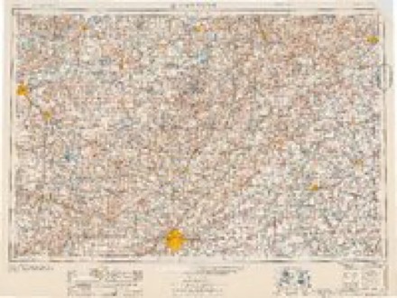
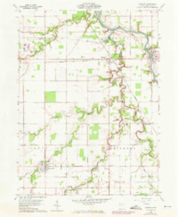
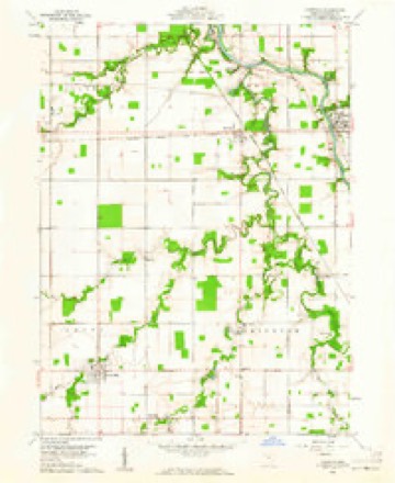
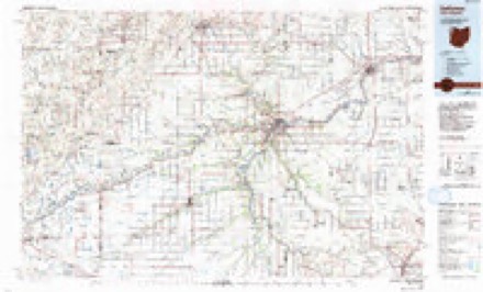
10 topographic sheets cover this place, the earliest surveyed in 1909 and the latest in 1986. It stands in Washington Township. It lies in ZIP code area 45849. The Survey maps it on the Oakwood quadrangle. It stands 2,356 feet above sea level.
Then and now
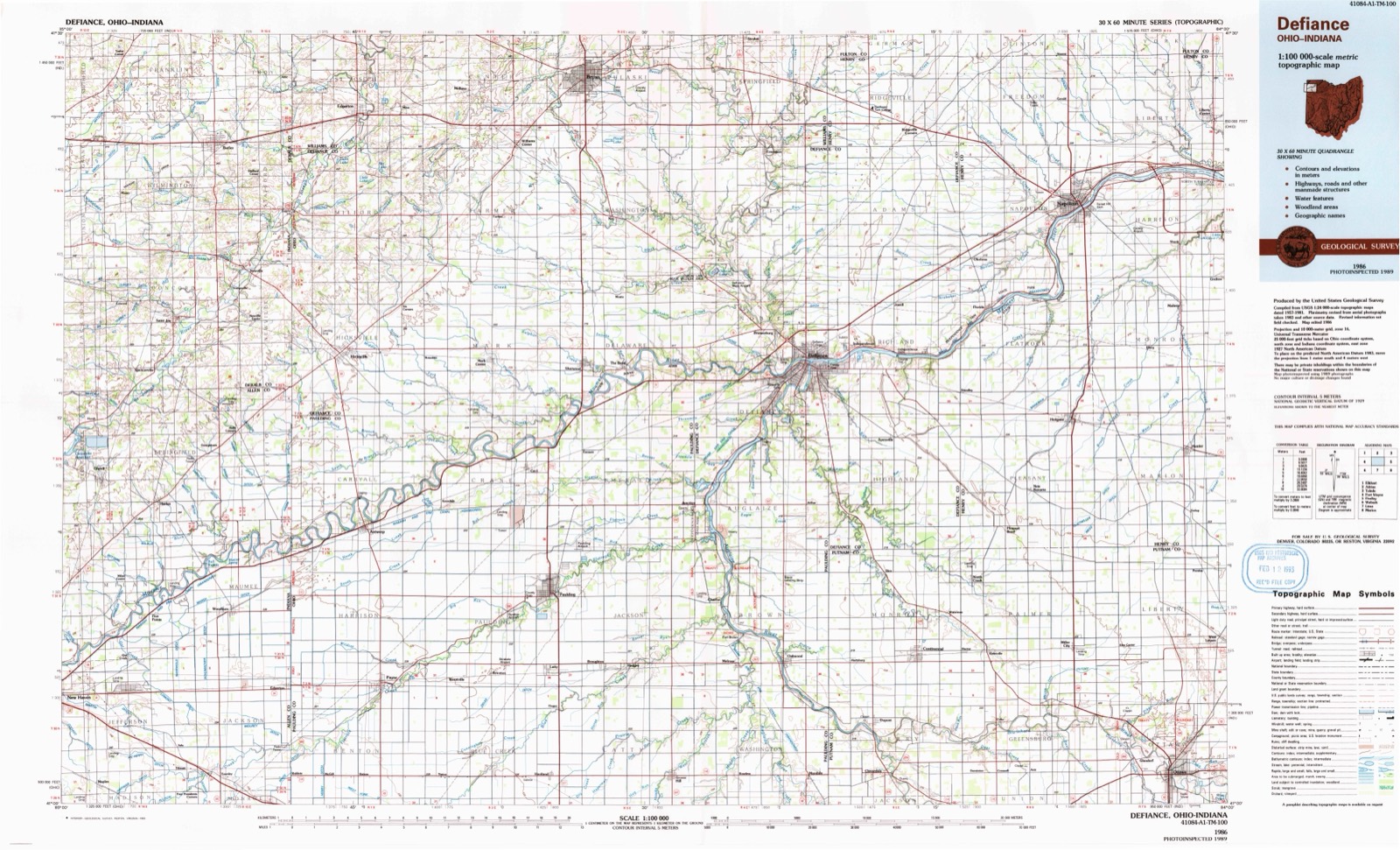
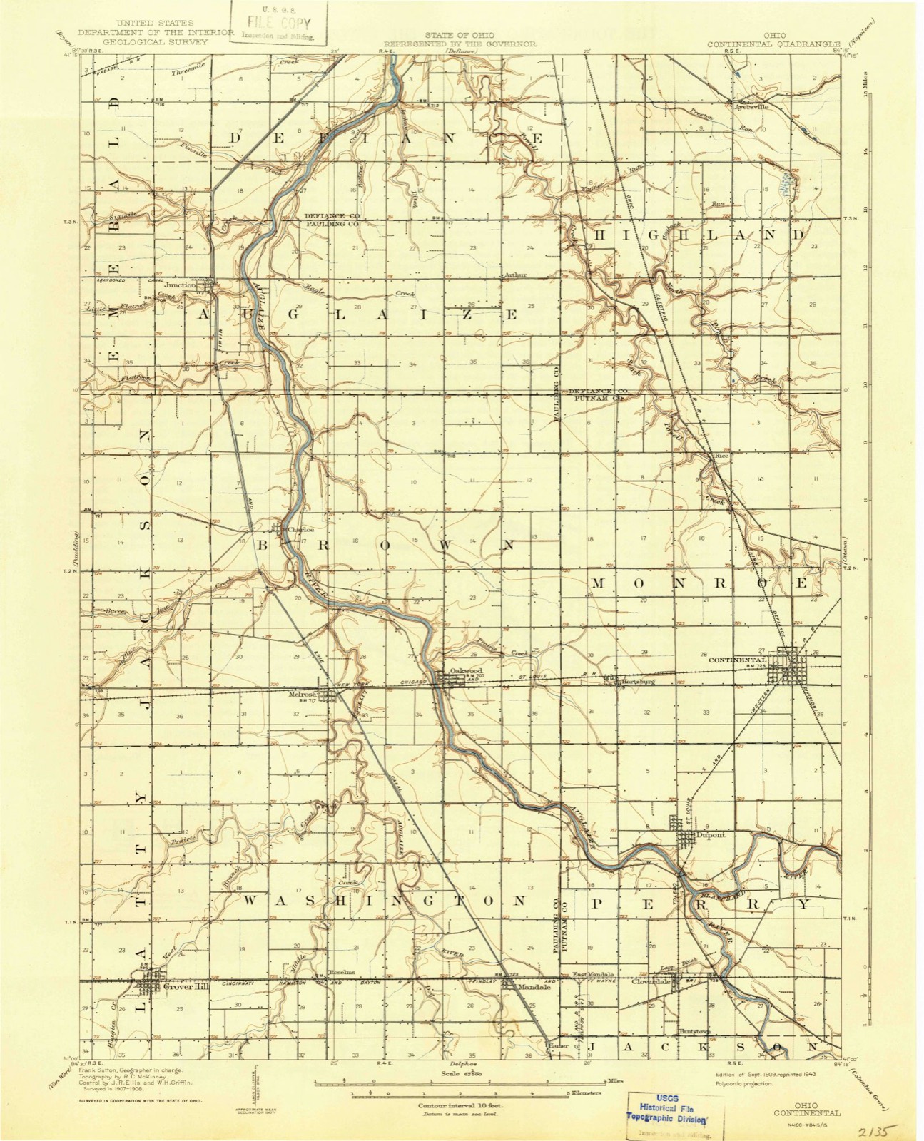
1909 to 1986The same ground, surveyed 77 years apart. Drag the handle to wipe between them. Both sheets are United States Geological Survey originals; neither has been altered.
Compare 1909 against another survey:
Topographic sheets covering this place
10 sheetsMatched by testing this settlement's coordinate against the published boundary of every sheet in the United States Geological Survey's historical collection. Each opens the scanned sheet at the Survey.
- 1909 USGS Continental quadrangle1:62500
- 1953 USGS Fort Wayne quadrangle1:250000
- 1953 USGS Fort Wayne quadrangle1:250000
- 1953 USGS Fort Wayne quadrangle1:250000
- 1953 USGS Fort Wayne quadrangle1:250000
- 1956 USGS Fort Wayne quadrangle1:250000
- 1956 USGS Fort Wayne quadrangle1:250000
- 1960 USGS Oakwood quadrangle1:24000
- 1960 USGS Oakwood quadrangle1:24000
- 1986 USGS Defiance quadrangle1:100000
Specimens collected nearby
12 of 35 shownMuseums hold 35 specimens collected within 10 miles of Roselms between 1893 and 1973: 35 Animalia. 12 distinct Species records are shown. Collected by CLARENCE CLARK, F. S. Badger, G. Y. Belyea and others. Each is a physical object with a catalogue number, and each entry opens the museum's record. This is what was collected and kept, not a survey of what lives here - nothing can be concluded from a species being absent.
| Image | Species | Year | Collected by | Where, as recorded |
|---|---|---|---|---|
 | Ambloplites rupestris (Rafinesque, 1817) | 1893 | P. Kirsch | Auglaize River, Oakwood, Ohio |
 | Ericymba buccata Cope, 1865 | 1893 | P. Kirsch | Auglaize River, Oakwood, Ohio |
 | Ictalurus punctatus (Rafinesque, 1818) | 1893 | P. Kirsch | Auglaize River, Oakwood, Ohio |
 | Notropis whipplei (Girard, 1856) | 1893 | P. Kirsch | Auglaize River, Oakwood, Ohio |
 | Agelaius phoeniceus phoeniceus (Linnaeus, 1766) | 1928 | not recorded | Auglaize River, Junction |
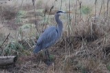 | Ardea herodias Linnaeus, 1758 | 1929 | H. I. Pierce | Grover Hill |
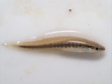 | Fundulus notatus (Rafinesque, 1820) | 1940 | Rhoades, R. (Randall) | Little Auglaize River, within Paulding Co, Paulding County, township n/a |
 | Orconectes immunis (Hagen, 1870) | 1940 | R. Rhoades & C. Clark | Little Auglaize River, 2 miles South of Mandale |
 | Orconectes rusticus (Girard, 1852) | 1940 | R. Rhoades & C. Clark | Little Auglaize River, 2 mi. S. of Mandale |
 | Enallagma antennatum (Say, 1840) | 1942 | H. Price | mouth of Blue Creek |
| Macromia illinoiensis Walsh, 1862 | 1942 | H. Price | Auglaize River at Fort Brown | |
 | Somatochlora linearis (Hagen, 1861) | 1943 | H. Price | Brown Township, near Auglaize River, North of Melrose |
All 35 specimens within 10 miles, at the Global Biodiversity Information Facility.
Storms nearby
2 since 2002The National Weather Service names Roselms in 2 storm reports between 2002 and 2004: 1 tornado, 1 thunderstorm wind. No death or injury is recorded in these reports. Each account below is quoted exactly as the forecast office filed it, from the NOAA Storm Events Database, and each date opens the federal record of that event.
| When | Event | Place named | Harm | What the report says |
|---|---|---|---|---|
| June 2004 | Thunderstorm Wind | Roselms | - | Law enforcement reported trees down near Roselms. |
| November 2002 | Tornado (F3) | Roselms | - | This tornado originated in Van Wert county and crossed into Paulding county 3 miles southwest of Roselms and exited Paulding county about 2.5 miles southeast of Oakwood. NWS ground and aerial survey found F3 damage along the entire path in Paulding county, with only one structure remaining standing in the town of Roselms, in which the town residents had taken cover in the basement. |
Nearest settlements
The eight closest, with where each one stands in the county. Distances are straight-line, computed from the Geographic Names Information System coordinates.
| Map | Place | Distance | Sheets |
|---|---|---|---|
| Plumbs Cross Roads (historical) | 1.7 miles | 10 | |
| Timberville (historical) | 2.8 miles | 10 | |
| Grover Hill | 3.0 miles | 10 | |
| Mandale | 3.1 miles | 12 | |
| Murat (historical) | 3.8 miles | 10 | |
| Newburgh (historical) | 4.4 miles | 10 | |
| Melrose | 5.0 miles | 10 | |
| Goodwin (historical) | 5.4 miles | 10 |
Elsewhere
Matched on this settlement's Geographic Names Information System number rather than its name, so it cannot be a different place of the same name in another state.
| Wikipedia article on Roselms | An encyclopaedic summary. Its text is share-alike, so it is linked here rather than copied. |
| Wikidata item Q7368259 | The structured record the population and elevation above come from. Public domain (CC0). |
Provenance
This settlement is recorded in the Geographic Names Information System as feature 1045199. The sheet list is computed by point-in-boundary test against the United States Geological Survey's historical topographic inventory. Both are works of the United States government and carry no copyright under 17 U.S.C. 105.
Specimens. Global Biodiversity Information Facility (GBIF), https://www.gbif.org/. Only records licensed CC0 or CC BY are used. Records licensed CC BY-NC are excluded because this site carries advertising. Images are checked individually and any whose licence is non-commercial, no-derivatives or unreadable is refused.
Storms. NOAA National Centers for Environmental Information, Storm Events Database https://www.ncei.noaa.gov/stormevents/ A work of the United States government, no copyright under 17 U.S.C. 105. Narratives are quoted verbatim from the National Weather Service report and are not edited or summarised.