 Block
Rowland, Ohio
13 topographic sheets cover this place, the earliest surveyed in 1910 and the latest in 1994. It stands in Bristol Township. It lies in ZIP code area 43756. The Survey maps it on the McConnelsville quadrangle. The federal gazetteer marks this settlement historical: it is no longer a populated place, though the surveys that recorded it still are.
Then and now
1910 to 1994The same ground, surveyed 84 years apart. Drag the handle to wipe between them. Both sheets are United States Geological Survey originals; neither has been altered.
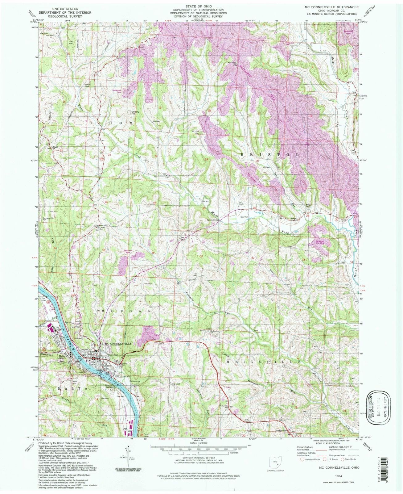
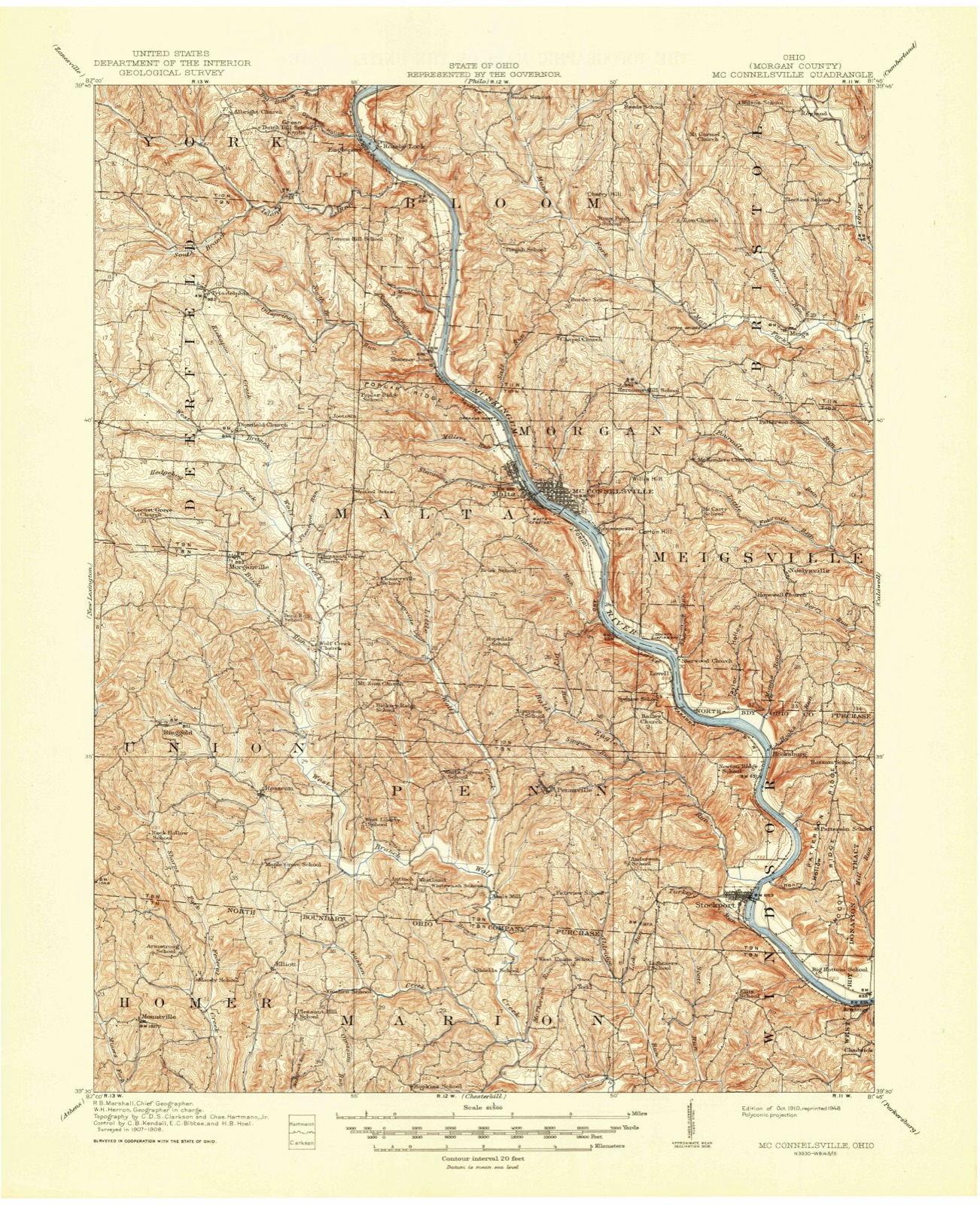
Topographic sheets covering this place
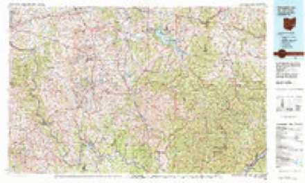
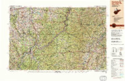
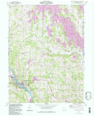
9 surveys from 13 printed sheetsMatched by testing this settlement's coordinate against the published boundary of every sheet in the United States Geological Survey's historical collection. Each opens the scanned sheet at the Survey.
- 1910 USGS Mc Connelsville quadrangle1:62500
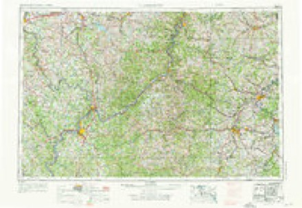
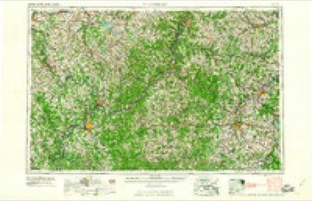
- 1949 USGS Clarksburg quadrangle1:250000
- 1956 USGS Clarksburg quadrangle1:250000, 2 printings
- 1961 USGS Clarksburg quadrangle1:250000
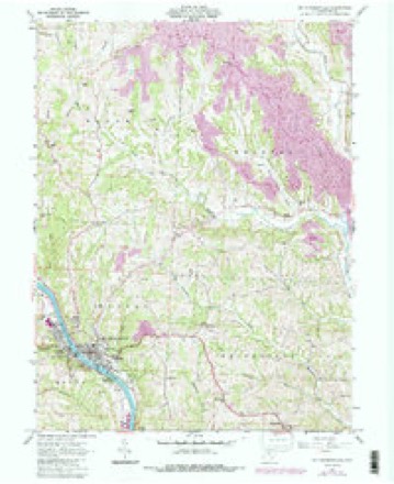
- 1961 USGS Mc Connelsville quadrangle1:24000, 4 printings
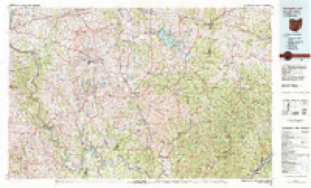
- 1980 USGS Senecaville quadrangle1:100000
- 1980 USGS Senecaville Lake quadrangle1:100000
- 1988 USGS Clarksburg quadrangle1:250000
- 1994 USGS Mc Connelsville quadrangle1:24000
In the county-history sources
17,067 words on this townshipHistory of Morgan County, Ohio, with Portraits and Biographical Sketches of Some of Its Pioneers and Prominent Men, published 1886 names this settlement in its chapter on Bristol Township. These are the passages that mention it, exactly as the scans read.
William Rowland came from Pennsylvania in 1816, and entered three hundred and twenty acres on sections four and five. But little is now known of his history further than that he was unmarried. But although he was not the head of a family, his coming brought quite an accession to the township's population, as with him came his brothers and their families, numbering thirteen in all. Robert Rowland married Esther Hiatt, daughter of Ezekiel Hyett, of Brooke County, Virginia. The Rowlands were men of unspotted reputation. Their honesty became proverbial.
Passage source: History of Morgan County, Ohio, with Portraits and Biographical Sketches of Some of Its Pioneers and Prominent Men, published 1886.
Matthew Scott came from AYashington County, Pa., about 1840. His coming brought quite an accession to the township population, as with him came his family of wife and nine children. His son, William Scott, now occupies the original homestead. Matthew Scott was a successful farmer and a kind neighbor. He died in Bristol in 1877, aged seventy -three years. Mrs. Scott was a native of Washington County, Pa. Her maiden name was Sarah Glover. She died in 1848. Of
Passage source: History of Morgan County, Ohio, with Portraits and Biographical Sketches of Some of Its Pioneers and Prominent Men, published 1886.
The society has a fine hall, the lower part of which is occupied as a Grange store. The first officers, after the erection of the building, were John Henderson, master; Solomon Rowland, secretary; James Scott, treasurer; John Whitney, overseer.
Passage source: History of Morgan County, Ohio, with Portraits and Biographical Sketches of Some of Its Pioneers and Prominent Men, published 1886.
Machine-read from a century-old scan, so expect the errors a machine makes: misspelled names, dropped words, stray characters.
Read the whole chapter on Bristol Township - it names this place 1 more 1 time.
Fires near this place
5 since 2012Regional context, not property-specific evidence. The federal wildfire occurrence database lists 5 fires within 5 miles of Rowland (historical) between 2012 and 2016, burning about 32 acres in total. None started naturally. None was recorded as arson. Distance is straight-line from the map coordinates, so a fire counted here may appear on a neighbouring settlement's page as well.
| Reported cause | Fires |
|---|---|
| Equipment and vehicle use | 2 |
| Recreation and ceremony | 1 |
| Missing data/not specified/undetermined | 1 |
| Debris and open burning | 1 |
The most recent of them, most recent first, with the day each was reported and the service that recorded it.
| Date | Cause | Size | Reported by | Name on the report |
|---|---|---|---|---|
| 24 April 2014 | Equipment and vehicle use | 4.0 acres | Ohio Department of Natural Resources | not named |
| 18 April 2016 | Recreation and ceremony | 25 acres | Ohio Department of Natural Resources | 4728 |
| 31 March 2015 | Equipment and vehicle use | under an acre | Ohio Department of Natural Resources | 701 |
| 10 March 2013 | Debris and open burning | 1.5 acres | Ohio Department of Natural Resources | not named |
| 11 November 2012 | Missing data/not specified/undetermined | under an acre | Ohio Department of Natural Resources | not named |
Settlements close enough to share some of these fires:
Specimens collected near this place
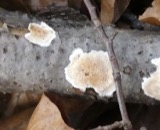
12 of 252 shownRegional context, not property-specific evidence. Museums hold 252 specimens collected within 10 miles of Rowland (historical) between 1887 and 1974: 158 Animalia, 85 Plantae, 8 Fungi, 1 Unrecorded. 12 distinct Species records are shown. Collected by A. D. Huryn, Adler, K. K., Albaugh, D. W. (Douglas W.) and others. Each is a physical object with a catalogue number, and each entry opens the museum's record. This is what was collected and kept, not a survey of what lives here - nothing can be concluded from a species being absent.
| Image | Species | Year | Collected by | Where, as recorded |
|---|---|---|---|---|
 | Peziza soleniiformis Ellis & Everh. | 1887 | Morgan | |
| Leskea obscura Hedw. | 1896 | W. A. Kellerman | ||
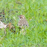 | Chondestes grammacus grammacus (Say, 1822) | 1903 | not recorded | McConnelsville |
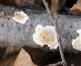 | Merulius incarnatus Schwein. | 1906 | Collector unspecified | McConnellsville |
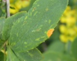 | Puccinia graminis Pers. | 1919 | Ricker A. J. | MCCONNELSVILLE |
| Atrichopogon fusinervis (Malloch, 1915) | 1927 | F. N. | McConnelsville | |
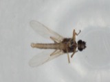 | Atrichopogon levis (Coquillett, 1901) | 1927 | not recorded | McConnelsville |
| Bezzia Kieffer, 1899 | 1927 | not recorded | McConnelsville | |
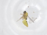 | Dasyhelea Kieffer, 1911 | 1927 | not recorded | McConnelsville |
| Forcipomyia Meigen, 1818 | 1927 | not recorded | McConnelsville | |
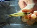 | Hybopsis Agassiz, 1854 | 1927 | Trautman, M. B. (Milton Bernard) & Foster, R. (Robert) | Muskingum River, at McConnelsvile, ~0.3 mi E of Malta, Morgan township |
| Hybopsis dissimilis (Kirtland, 1840) | 1927 | Trautman, M. B. (Milton Bernard) & Foster, R. (Robert) | Muskingum River, at McConnelsvile, ~0.3 mi E of Malta, Morgan township |
All 252 specimens within 10 miles, at the Global Biodiversity Information Facility.
Mines and quarries near this place
3 within 5 milesRegional context, not property-specific evidence. The federal mineral resources record lists 3 workings within 5 miles of Rowland (historical): 2 producers, 1 past producer. 2 still produce. What was taken out: Stone, Crushed/Broken, Limestone, General. Distance is straight-line from the map coordinates, so a quarry counted here may appear on a neighbouring settlement's page as well.
| Where | Site | Commodity | Status | Recorded |
|---|---|---|---|---|
| D-K Pit | Limestone, General | Past Producer | Sedimentary | |
| Central Ohio Coal Co. Mine | Stone, Crushed/Broken | Producer | ||
| D-K Pit | Stone, Crushed/Broken | Producer |
Nearest settlements
The eight closest, with where each one stands in the county. Distances are straight-line, computed from the Geographic Names Information System coordinates.
| Map | Place | Distance | Sheets |
|---|---|---|---|
| Cloud (historical) | 1.6 miles | 13 | |
| Airington (historical) | 2.1 miles | 13 | |
| Brill (historical) | 3.5 miles | 14 | |
| Cabinville (historical) | 3.7 miles | 14 | |
| Meigs | 3.7 miles | 13 | |
| Bristol | 3.9 miles | 14 | |
| Seeleyburg (historical) | 5.7 miles | 14 | |
| Otho (historical) | 5.9 miles | 14 |
Provenance
This settlement is recorded in the Geographic Names Information System as feature 1071071. The sheet list is computed by point-in-boundary test against the United States Geological Survey's historical topographic inventory. Both are works of the United States government and carry no copyright under 17 U.S.C. 105.
Wildfire. Short, Karen C. 2022. Spatial wildfire occurrence data for the United States, 1992-2020 [FPA_FOD_20221014]. 6th Edition. Fort Collins, CO: Forest Service Research Data Archive. https://doi.org/10.2737/RDS-2013-0009.6 Collected with United States Government funding and usable without additional permissions or fees.
Specimens. Global Biodiversity Information Facility (GBIF), https://www.gbif.org/. Only records licensed CC0 or CC BY are used. Records licensed CC BY-NC are excluded because this site carries advertising. Images are checked individually and any whose licence is non-commercial, no-derivatives or unreadable is refused.
Mines and quarries. USGS Mineral Resources Data System (MRDS) https://mrdata.usgs.gov/mrds/ A work of the United States government, no copyright under 17 U.S.C. 105.