 Block
Ruth, Ohio
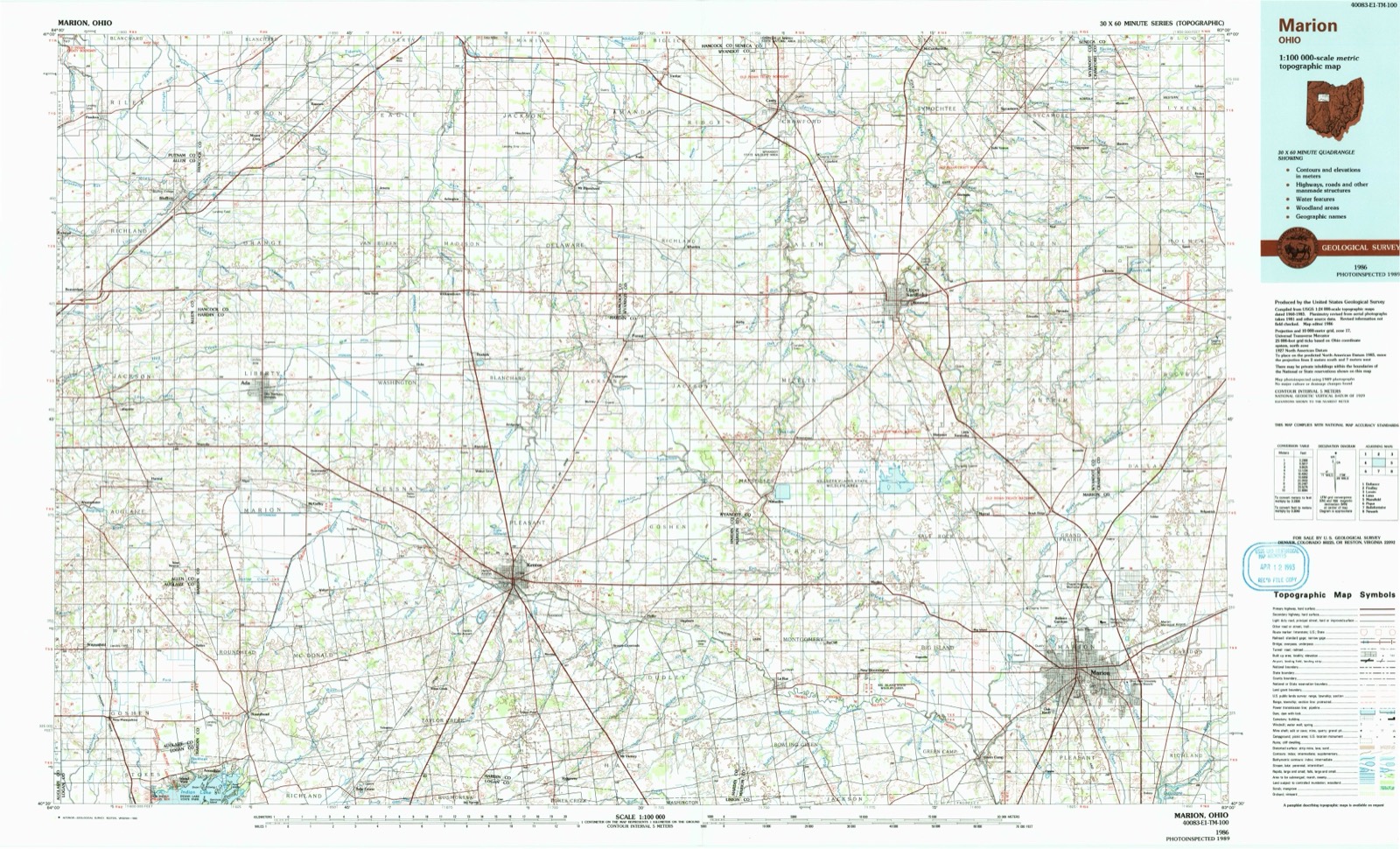
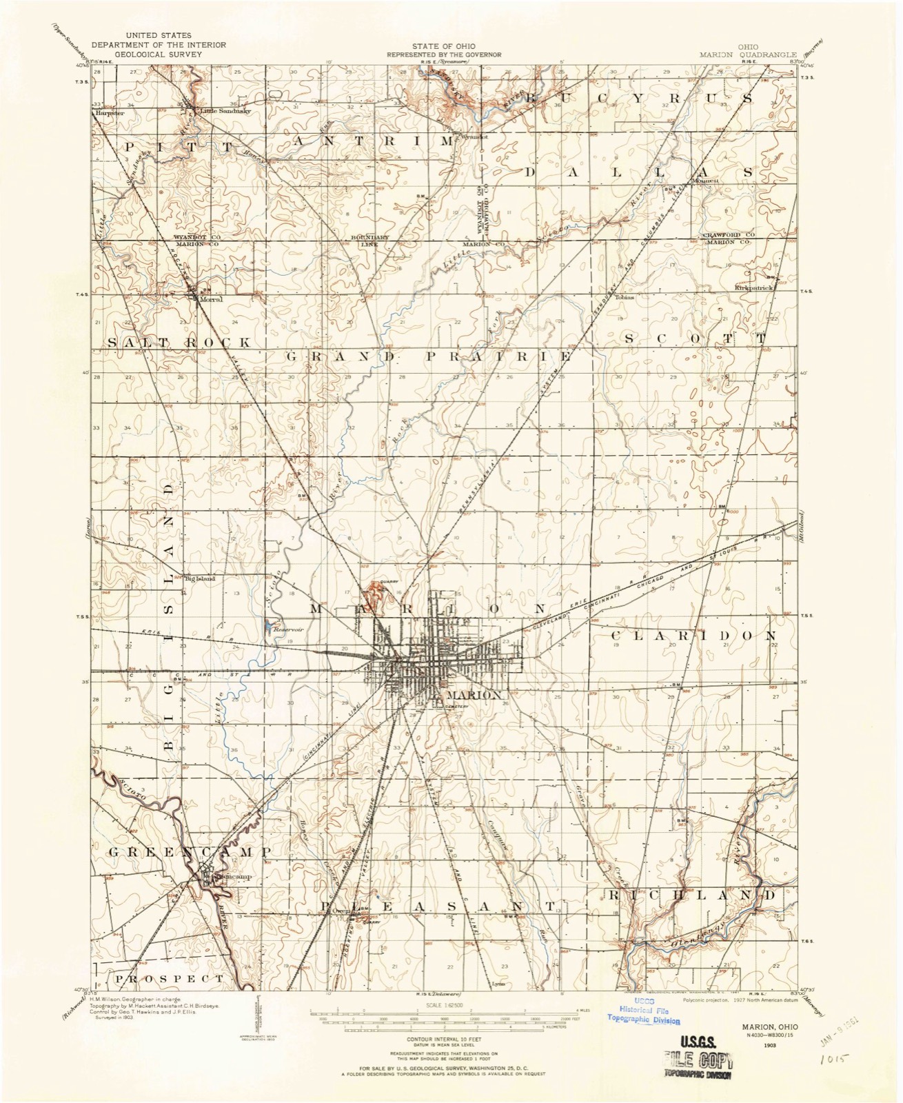
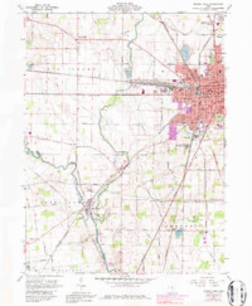
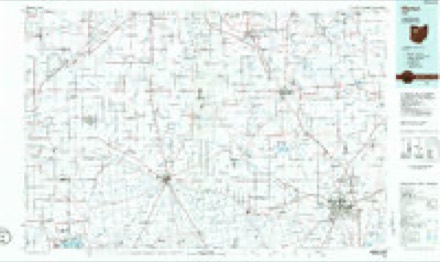
13 topographic sheets cover this place, the earliest surveyed in 1903 and the latest in 1986. It stands in Marion Township. It lies in ZIP code area 43302. It stands on Rock Swale. The Survey maps it on the Marion West quadrangle.
Then and now
1903 to 1986The same ground, surveyed 83 years apart. Drag the handle to wipe between them. Both sheets are United States Geological Survey originals; neither has been altered.
Topographic sheets covering this place
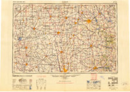
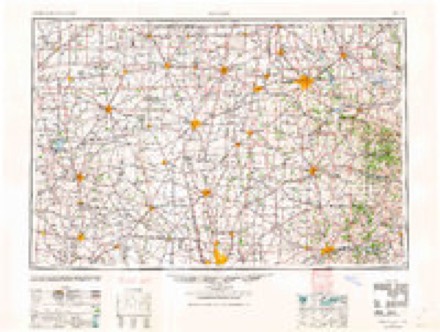
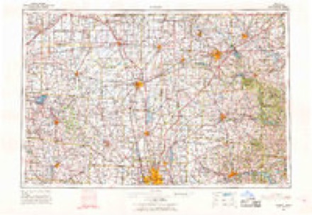
7 surveys from 13 printed sheetsMatched by testing this settlement's coordinate against the published boundary of every sheet in the United States Geological Survey's historical collection. Each opens the scanned sheet at the Survey.
- 1903 USGS Marion quadrangle1:62500
- 1905 USGS Marion quadrangle1:62500
- 1950 USGS Marion quadrangle1:250000
- 1961 USGS Marion West quadrangle1:24000, 4 printings
- 1962 USGS Marion quadrangle1:250000
- 1966 USGS Marion quadrangle1:250000, 3 printings
- 1986 USGS Marion quadrangle1:100000, 2 printings
In the county-history sources
123,179 words on this townshipThe History of Marion County, Ohio, Containing a History of the County; Its Townships, Towns, Churches, Schools, Etc; General and Local Statistics; Military Record; Portraits of Early Settlers and Prominent Men; History of the Northwest Territory; History of Ohio, published 1883 names this settlement in its chapter on Marion Township. These are the passages that mention it, exactly as the scans read.
THOMAS J. McMURRAY, brother of the above and member of the firm of McMurray & Fisher, was born in Steubenville, Ohio, March 2, 1841. He was brought up in his native town till seventeen, when he went to Wooster and served a regular apprenticeship of three years at carriage painting, with John Wilhelm. He worked for John Beistle in Wooster till September 6, J 862, when he joined the " boys in blue" in Company H, One Hundred and Second Regiment Ohio Volunteer Infantry. He served in the Army of the Cumberland and was honorably discharged at Nashville, Tenn., July 8, 1865, after which he engaged in his trade at Florence, Ky. ; from there he went to Orville and worked for Steele & Moore until September, 1866, when he and Mr. Moore came to Marion and established a carriage manufactory. Mr. McMurray has been a leading member of the business throughout the changes of the firms to the present time, and is a successful business man. His marriage, October 10, 1867, with Miss Ella Randall, daughter of Levi Randal, was blest with five children, two of whom are living - George W. and Charlie. Mr. and Mrs. McMurray are members of the Methodist Episcopal Church; Mr. McMurray is identified with the I. O. O. F., K. of H. and G. A. R. He was a member of the City Council, 1872-73.
Passage source: The History of Marion County, Ohio, Containing a History of the County; Its Townships, Towns, Churches, Schools, Etc; General and Local Statistics; Military Record; Portraits of Early Settlers and Prominent Men; History of the Northwest Territory; History of Ohio, published 1883.
Machine-read from a century-old scan, so expect the errors a machine makes: misspelled names, dropped words, stray characters.
Read the whole chapter on Marion Township - it names this place 4 more 4 times.
Fires near this place
6 since 2002Regional context, not property-specific evidence. The federal wildfire occurrence database lists 6 fires within 5 miles of Ruth in 2002, burning about 2 acres in total. None started naturally. 2 were recorded as arson. Distance is straight-line from the map coordinates, so a fire counted here may appear on a neighbouring settlement's page as well.
| Reported cause | Fires |
|---|---|
| Smoking | 2 |
| Missing data/not specified/undetermined | 2 |
| Arson/incendiarism | 2 |
The most recent of them, most recent first, with the day each was reported and the service that recorded it.
| Date | Cause | Size | Reported by | Name on the report |
|---|---|---|---|---|
| 4 August 2002 | Missing data/not specified/undetermined | 1.0 acres | Ohio State Fire Marshal's Office | not named |
| 7 July 2002 | Arson/incendiarism | under an acre | Ohio State Fire Marshal's Office | not named |
| 6 July 2002 | Smoking | under an acre | Ohio State Fire Marshal's Office | not named |
| 12 July 2002 | Smoking | under an acre | Ohio State Fire Marshal's Office | not named |
| 1 July 2002 | Arson/incendiarism | under an acre | Ohio State Fire Marshal's Office | not named |
| 19 November 2002 | Missing data/not specified/undetermined | under an acre | Ohio State Fire Marshal's Office | not named |
Settlements close enough to share some of these fires:
Specimens collected near this place
12 of 376 shownRegional context, not property-specific evidence. Museums hold 376 specimens collected within 10 miles of Ruth between 1919 and 1975: 366 Animalia, 7 Fungi, 3 Plantae. 12 distinct Species records are shown. Collected by A. Ogilvie, Acker, G., Baumgartner, L. and others. Each is a physical object with a catalogue number, and each entry opens the museum's record. This is what was collected and kept, not a survey of what lives here - nothing can be concluded from a species being absent.
| Image | Species | Year | Collected by | Where, as recorded |
|---|---|---|---|---|
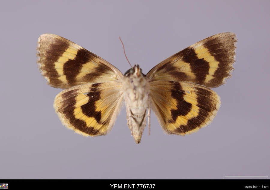 | Catocala habilis Grote, 1872 | 1959 | not recorded | Camp Owens |
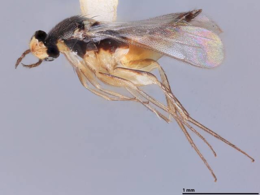 | Elasmus albizziae Burks, 1965 | 1964 | J. Peacock | [Not Stated] |
 | Fusarium culmorum (Wm.G.Sm.) Sacc. | 1919 | Lewis H. L. | Marion |
 | Helminthosporium teres Sacc. | 1919 | MCFARLAND F. T. | Marion |
 | Puccinia rubigo-vera var. tritici (Erikss.) Carleton | 1919 | MCFARLAND F. T. | Marion |
 | Photinus pyralis (Linnaeus, 1767) | 1923 | not recorded | Marion |
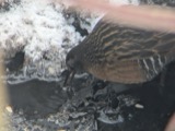 | Rallus limicola limicola Vieillot, 1819 | 1923 | Lyle D. Miller | Claridon, Lake Aquilla |
 | Buteo jamaicensis borealis (Gmelin, 1788) | 1924 | Lyle D. Miller | Claridon |
 | Acris crepitans Baird, 1854 | 1929 | Trautman, M. B. (Milton Bernard) | Grand Twp: along Tymochtee Cr., Marion Co., Ohio |
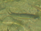 | Campostoma anomalum anomalum | 1929 | Trautman, M. B. (Milton Bernard) & Foster, R. (Robert) | Tymochtee Creek, within Montgomery township, near Meeker, Montgomery township |
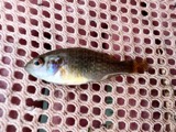 | Lepomis cyanellus Rafinesque, 1819 | 1929 | Trautman, M. B. (Milton Bernard) & Foster, R. (Robert) | Tymochtee Creek tributary, within Montgomery township, near Meeker, Montgomery township |
 | Rana clamitans Latreille, 1801 | 1929 | Trautman, M. B. (Milton Bernard) | Montgomery Twp.: Tymochtee Creek trib., Marion Co., Ohio |
All 376 specimens within 10 miles, at the Global Biodiversity Information Facility.
Mines and quarries near this place
5 within 5 milesRegional context, not property-specific evidence. The federal mineral resources record lists 5 workings within 5 miles of Ruth: 2 past producers, 2 producers, 1 plant. 3 still produce. What was taken out: Limestone, General, Stone, Crushed/Broken, Sand and Gravel, Construction. Distance is straight-line from the map coordinates, so a quarry counted here may appear on a neighbouring settlement's page as well.
| Where | Site | Commodity | Status | Recorded |
|---|---|---|---|---|
| Fleming Const. Co Sand & Gravel Pit | Sand and Gravel, Construction | Producer | ||
| J.M. Hamilton and Sons Co. | Stone, Crushed/Broken | Producer | ||
| J.M. Hamilton and Sons Quarry | Limestone, General | Past Producer | Sedimentary | |
| Marion Plant | Stone, Crushed/Broken | Plant | ||
| Marion Plant Quarry | Limestone, General | Past Producer | Sedimentary |
Nearest settlements
The eight closest, with where each one stands in the county. Distances are straight-line, computed from the Geographic Names Information System coordinates.
| Map | Place | Distance | Sheets |
|---|---|---|---|
| Hords (historical) | 1.4 miles | 13 | |
| Big Island | 2.1 miles | 13 | |
| Bellaire Gardens | 2.6 miles | 13 | |
| Longville (historical) | 2.6 miles | 13 | |
| Colonial Acres | 2.9 miles | 13 | |
| Marion | 2.9 miles | 13 | |
| Oak Knoll | 3.7 miles | 13 | |
| Espyville | 4.2 miles | 11 |
Provenance
This settlement is recorded in the Geographic Names Information System as feature 1060640. The sheet list is computed by point-in-boundary test against the United States Geological Survey's historical topographic inventory. Both are works of the United States government and carry no copyright under 17 U.S.C. 105.
Wildfire. Short, Karen C. 2022. Spatial wildfire occurrence data for the United States, 1992-2020 [FPA_FOD_20221014]. 6th Edition. Fort Collins, CO: Forest Service Research Data Archive. https://doi.org/10.2737/RDS-2013-0009.6 Collected with United States Government funding and usable without additional permissions or fees.
Specimens. Global Biodiversity Information Facility (GBIF), https://www.gbif.org/. Only records licensed CC0 or CC BY are used. Records licensed CC BY-NC are excluded because this site carries advertising. Images are checked individually and any whose licence is non-commercial, no-derivatives or unreadable is refused.
Mines and quarries. USGS Mineral Resources Data System (MRDS) https://mrdata.usgs.gov/mrds/ A work of the United States government, no copyright under 17 U.S.C. 105.