52 topographic sheets and 30 fire insurance
atlases across 5 places.
Research this county
This curated hub for Marion County, Ohio brings together the page's documented record links, visible map or image evidence where published, and routes to related local records.
Use the page's provenance and linked records to distinguish the source material from the site's navigation and summaries.
How should I cite it?
Open the original record, preserve its repository and identifier, then use the citation tool for this page as a path back to the source.
Where should I go next?
Follow the county or state hub for related places and records, then use the guide for a source-aware research sequence.
From the record
14 National Register listings, of which 1 are National Historic Landmarks · 49 businesses named in the fire insurance atlases from 1892 to 1946 · the 1883 county history tells 0 stories and names 0 people.
Ohio within the United StatesMarion County within Ohio
Explore by year
What the record shows
5 places in this county were surveyed for fire insurance: Marion, Prospect, La Rue, Waldo, Caledonia, between 1884 and 1949.
30 fire insurance atlas(es) survive for the county. Topographic coverage is national; fire insurance survey reached only incorporated places with something worth insuring.
639 topographic sheet readings cover the county's settlements.
14 properties here are on the National Register of Historic Places, including 2 houses and farms.
4 of the 14 listings were added during the 1970s.
The Geographic Names Information System records 52 populated places in this county; 0 are covered by at least one topographic sheet.
2 public-domain county histories, 1883 and 1883, supply 123,179 words of narrative reproduced here in full.
Photographs
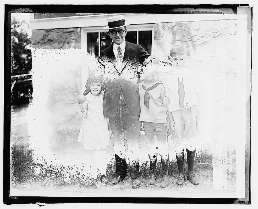
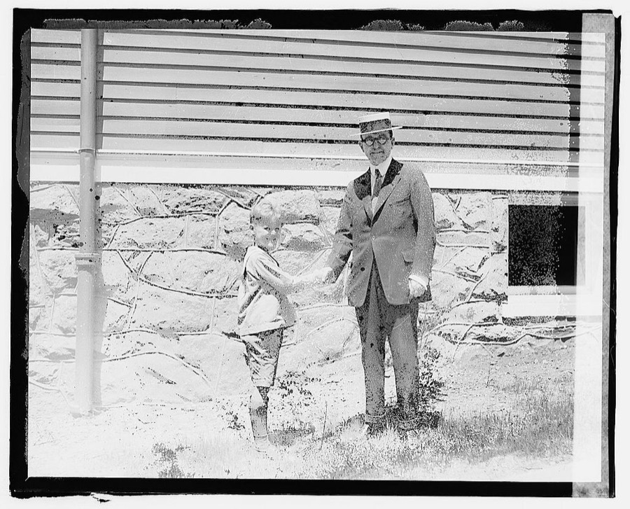
3 photographs, 1920
Taken for the Office of War Information and
the Farm Security Administration, who photographed the country between
1935 and 1944. Works of United States government photographers, with no
known restriction on use. Each opens its catalogue record.
Marion County holds 0 covered bridges on
the National Register, more than any other property type here. Each is a listed
structure with a federal nomination on file.
Digitised newspapers
4 issues
Sampled issues, machine-read from the
Library of Congress scan and published page by page, so every headline
and column is searchable text.
The Marion Daily Mirror
Marion, Ohio, 1892 to 1912. Machine-read from the Library of Congress scan.
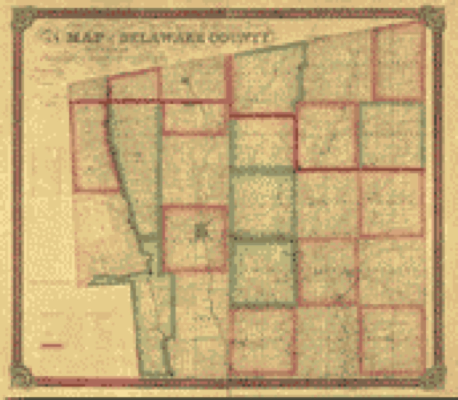
Drawn when these were printed as
single large sheets: the town seen from the air, and the county
divided into its farms with every owner named. Each opens the
original at the Library of Congress.
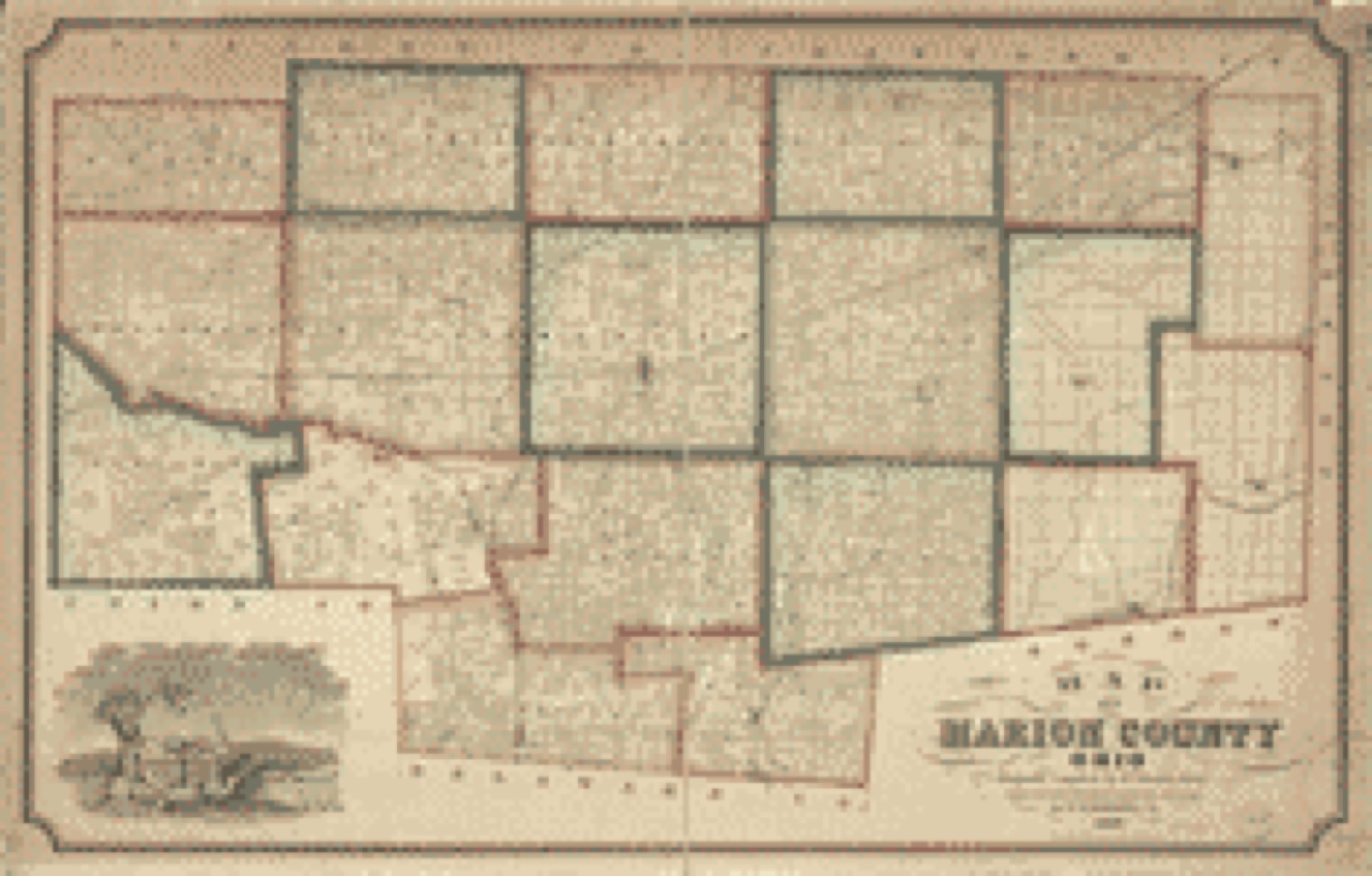
Land ownership map (1849) - Map of Delaware County : also a part of Marion and Morrow counties. Library of Congress.Land ownership map (1852) - Map of Marion County, Ohio. Library of Congress.
Photographs from libraries nationwide
8 of 24 shown
Selected from the Digital Public Library
of America's 24 image records catalogued for this county. Every
one shown here carries a public-domain status or a licence that permits
reuse on a site that carries advertising; non-commercial, share-alike
and restricted images are excluded. The selection is spread across the
county's towns (at most eight per town), so no single institution's
bulk upload crowds out the rest. Each opens the holding library's
record, and
the complete set at the
Digital Public Library of America is one click away.
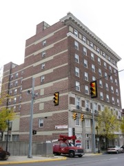
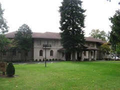
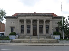
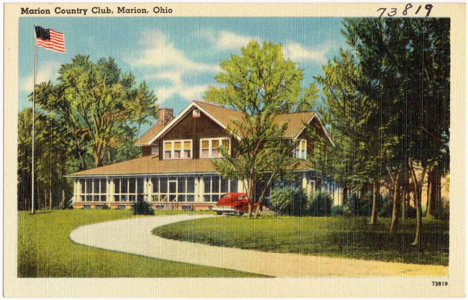
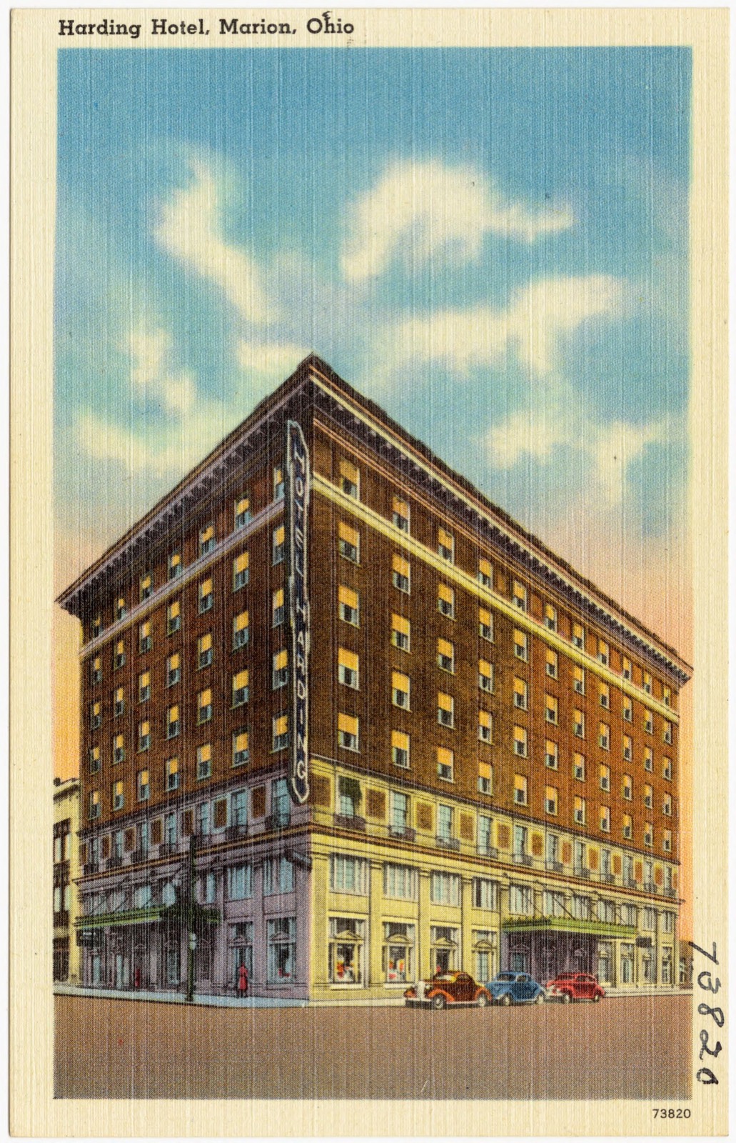
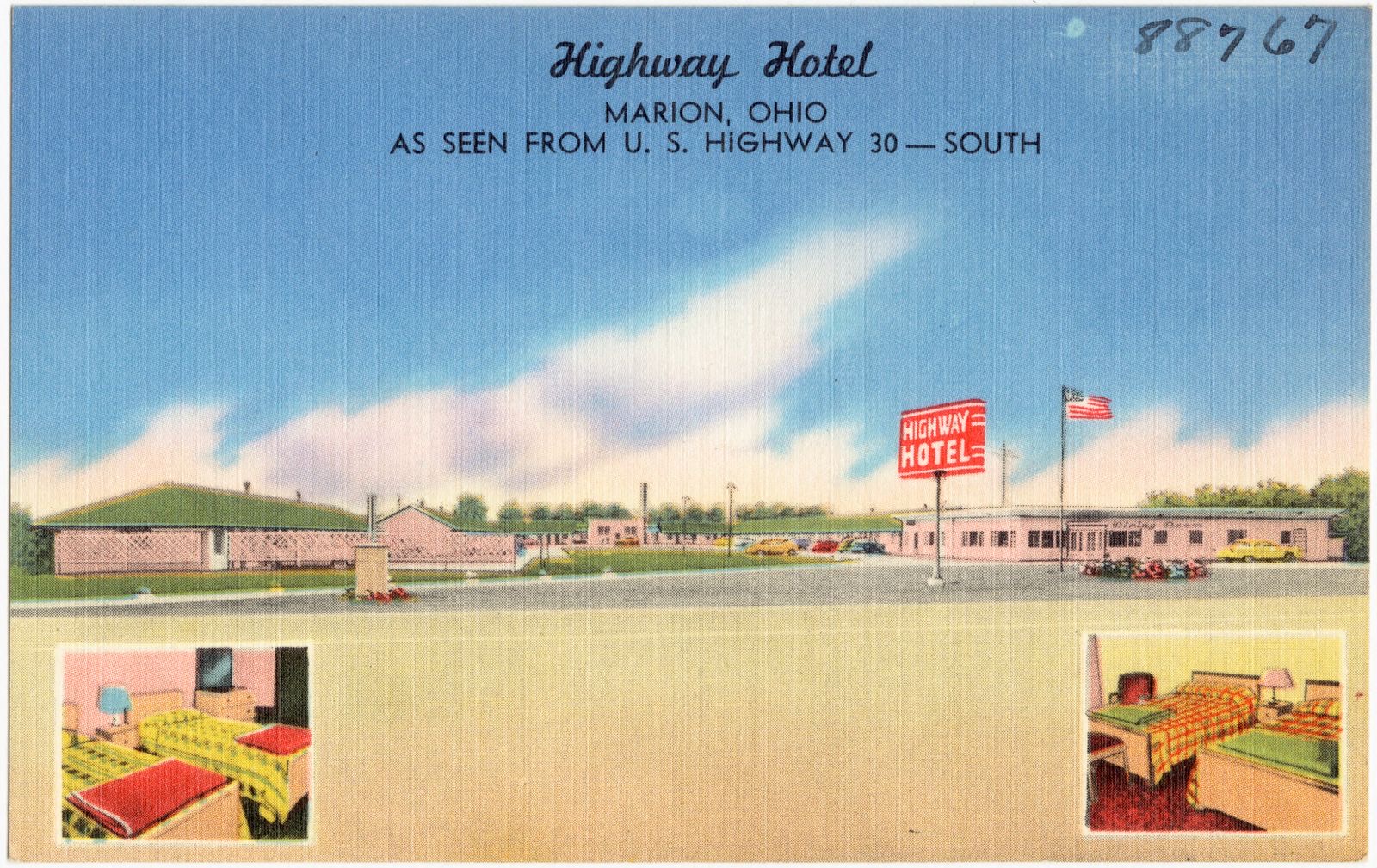
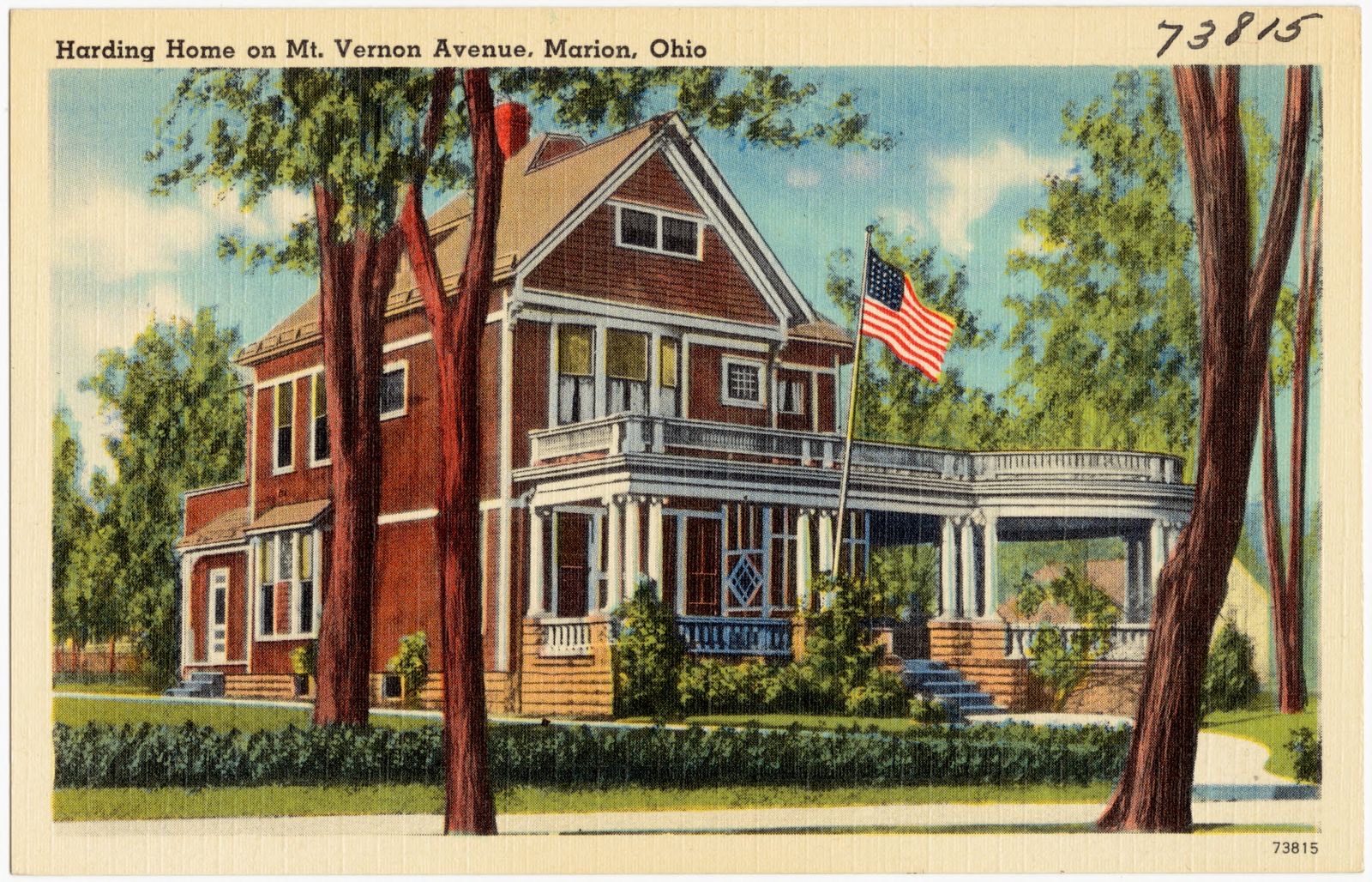
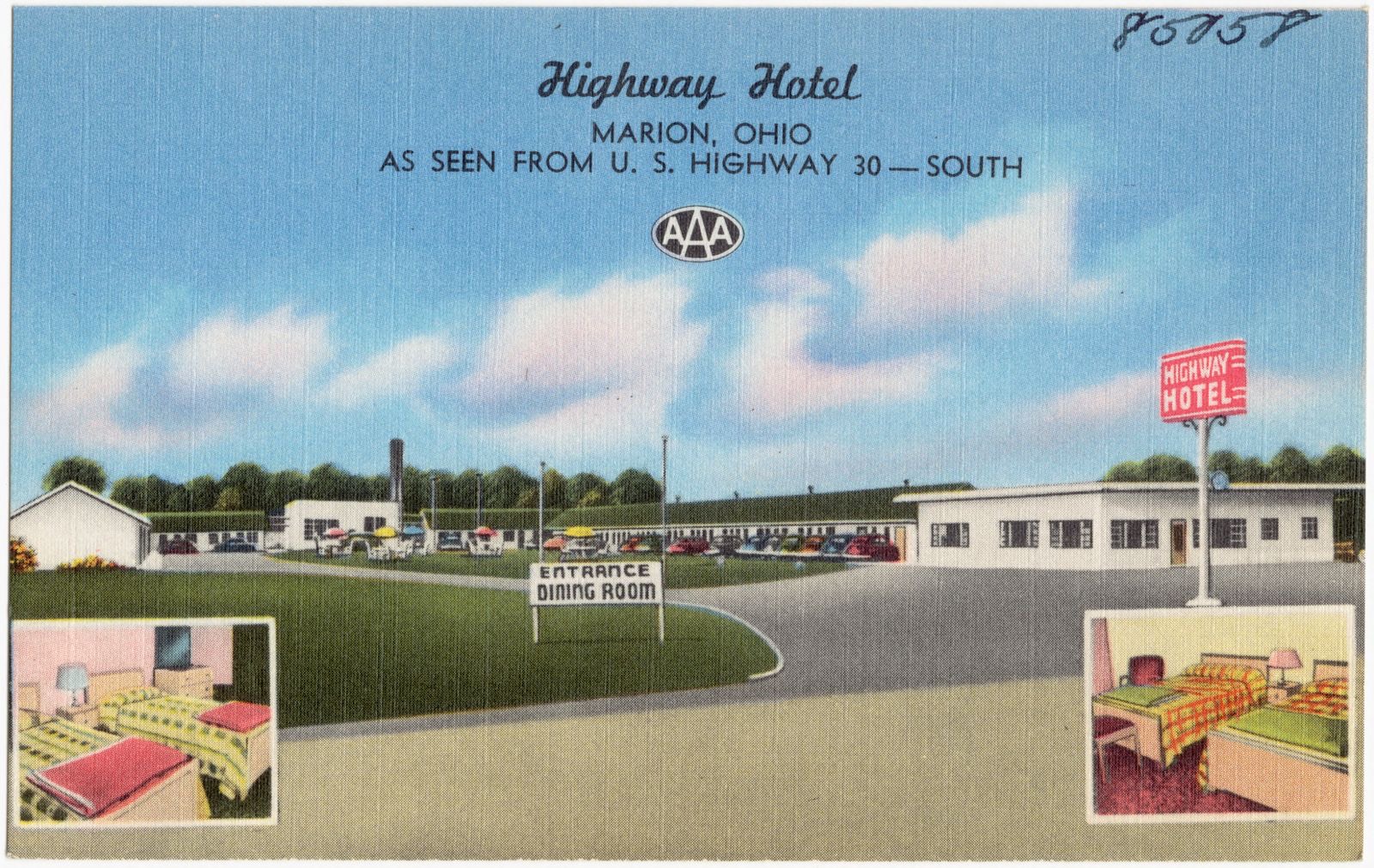
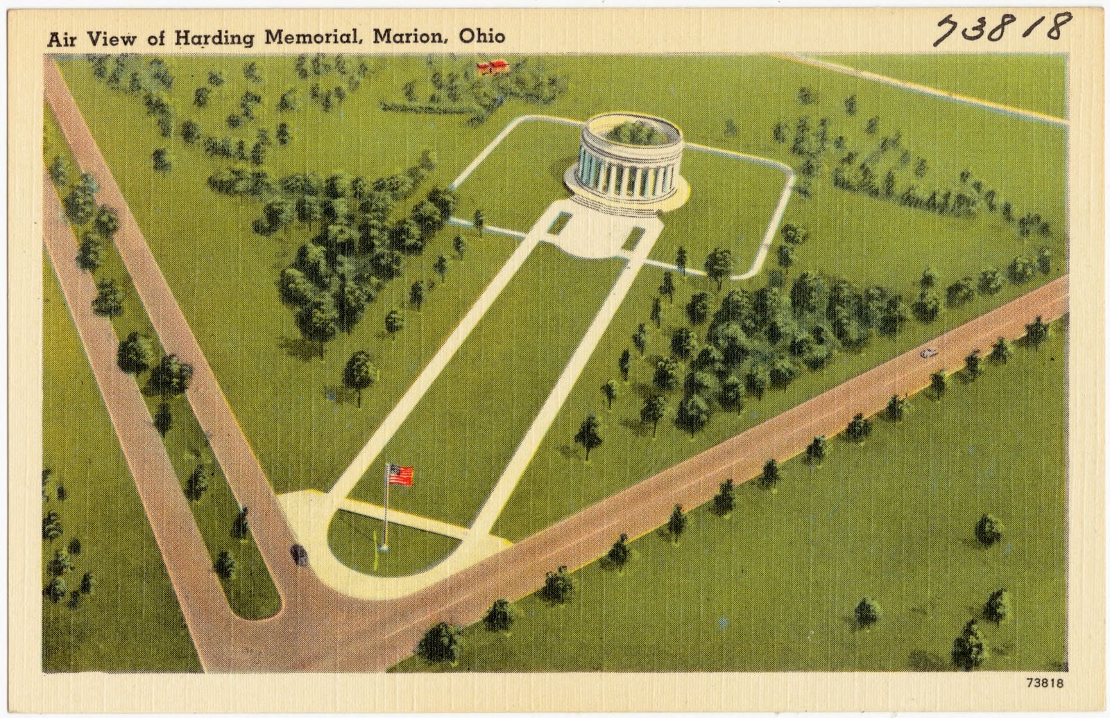
Harding Memorial, Marion, Ohio. Boston Public Library, via the Digital Public Library of America.Marion Country Club, Marion, Ohio. Boston Public Library, via the Digital Public Library of America.Harding Hotel, Marion, Ohio. Boston Public Library, via the Digital Public Library of America.Highway Hotel, Marion, Ohio, as seen from U.S. Highway 30 -- south. Boston Public Library, via the Digital Public Library of America.Harding Home on Mt. Vernon Avenue, Marion, Ohio. Boston Public Library, via the Digital Public Library of America.Highway Hotel, Marion, Ohio, as seen from U.S. Highway 30 -- south. Boston Public Library, via the Digital Public Library of America.St. Mary's Catholic Church and parsonage, Marion, Ohio. Boston Public Library, via the Digital Public Library of America.Air view of Harding Memorial, Marion, Ohio. Boston Public Library, via the Digital Public Library of America.
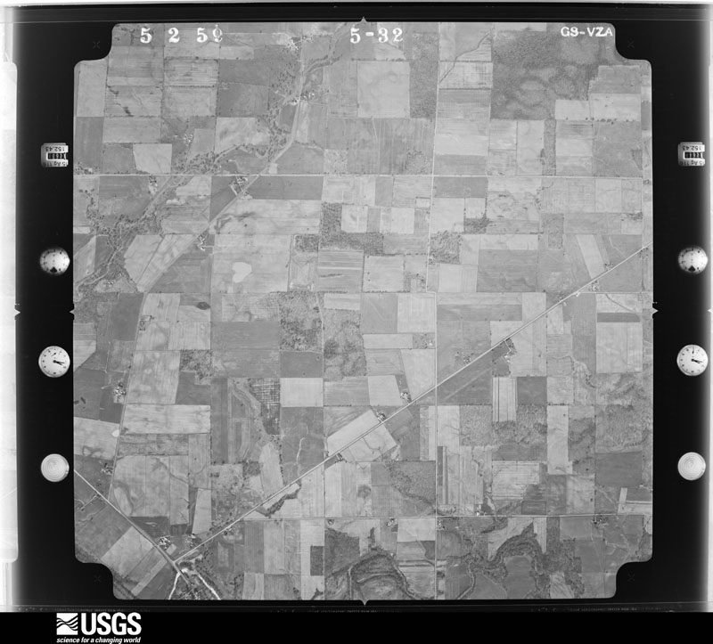
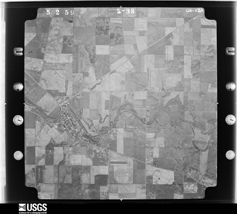
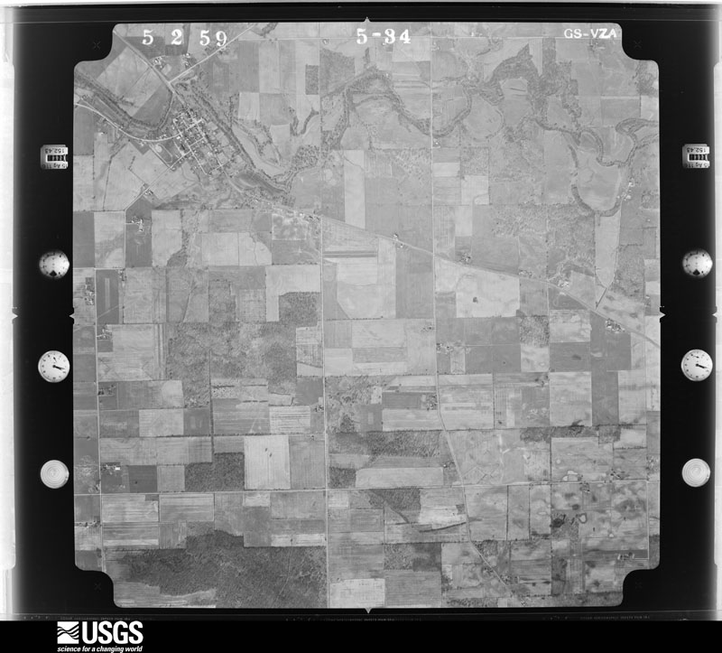
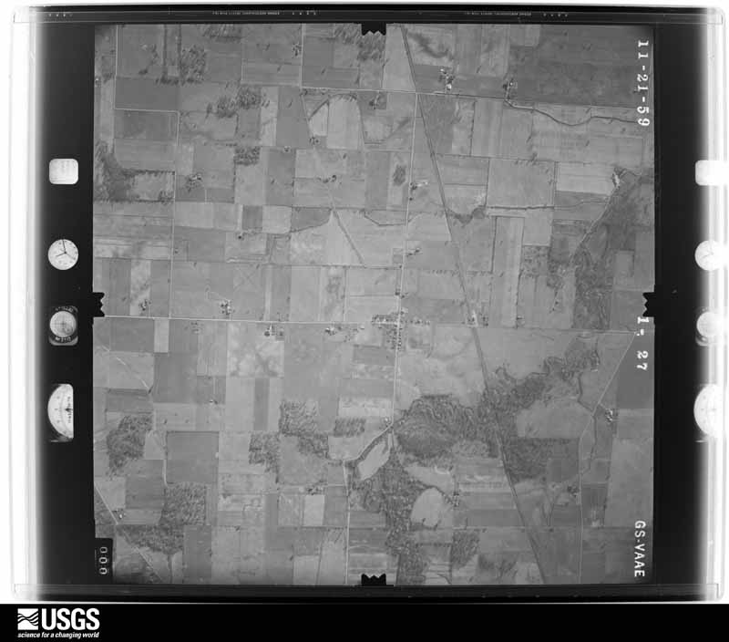
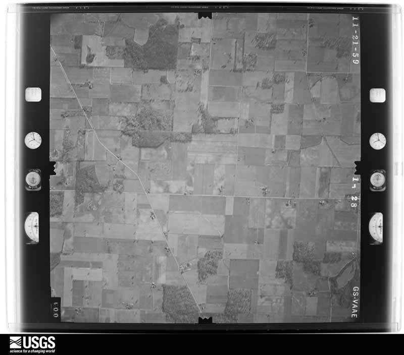
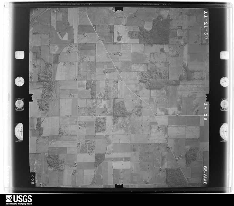
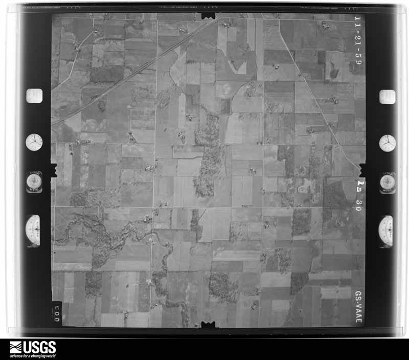
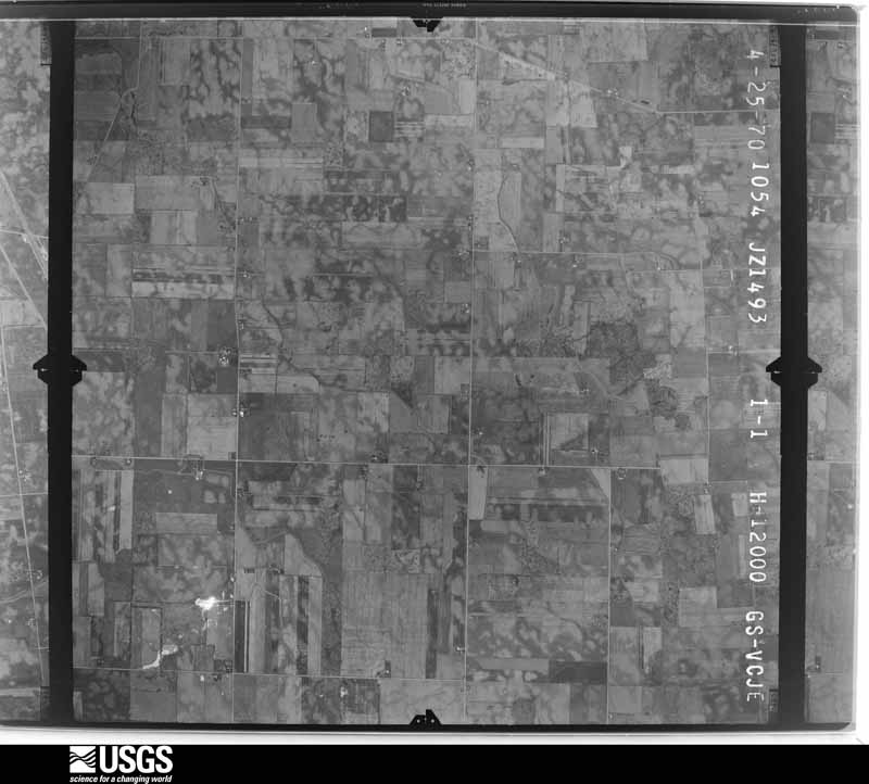
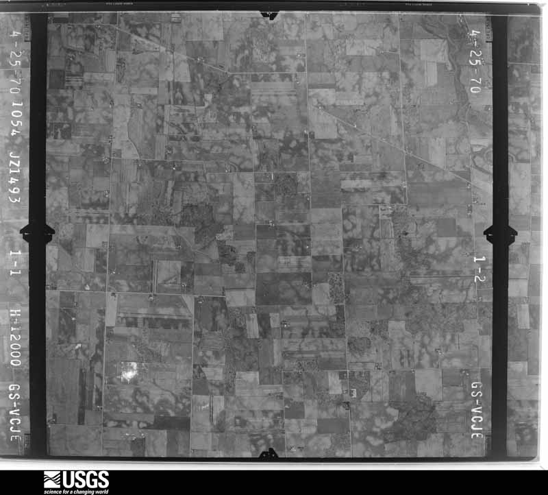
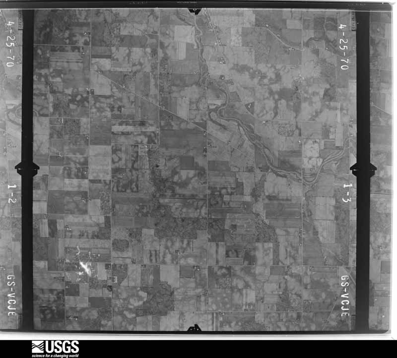
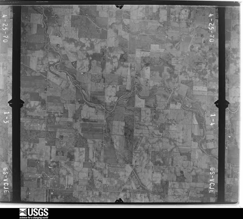
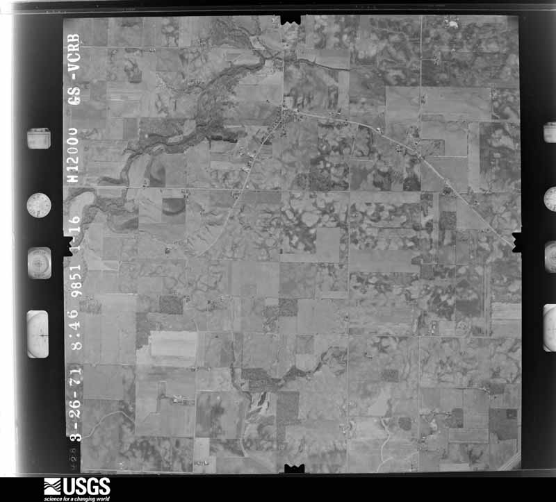
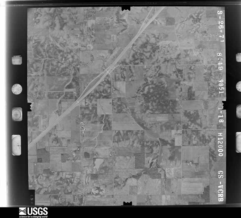
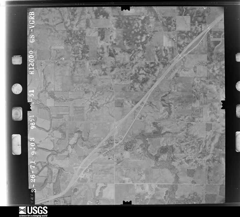
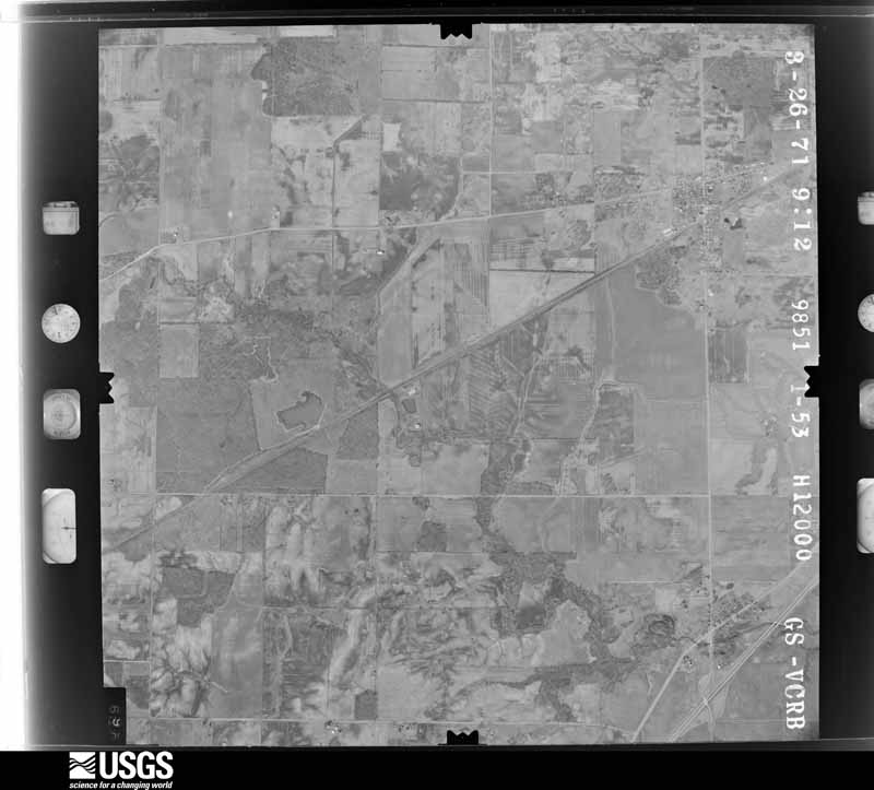
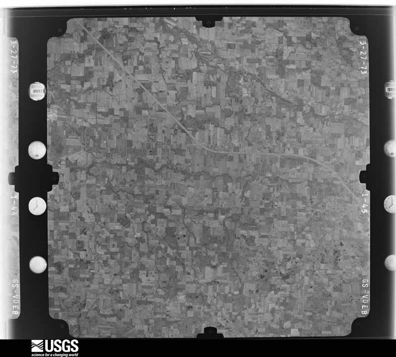
The county from the air
20 of 527 shown
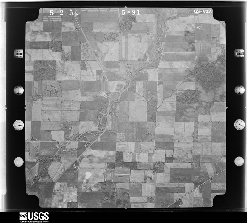
Flown by the U.S. Geological Survey
between 1937 and 1989, the Aerial Photo Single Frames collection is
the definitive mid-century view of the land: fields, roads and rivers
as the camera saw them. 527 frames touch this county; the
selection below spreads across the decades of flights (at most four
per year), so one flight cannot crowd out the rest. The full set is
free to browse and download at
EarthExplorer under the dataset Aerial Photo Single
Frames.
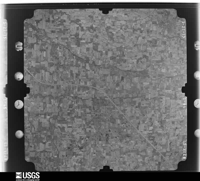
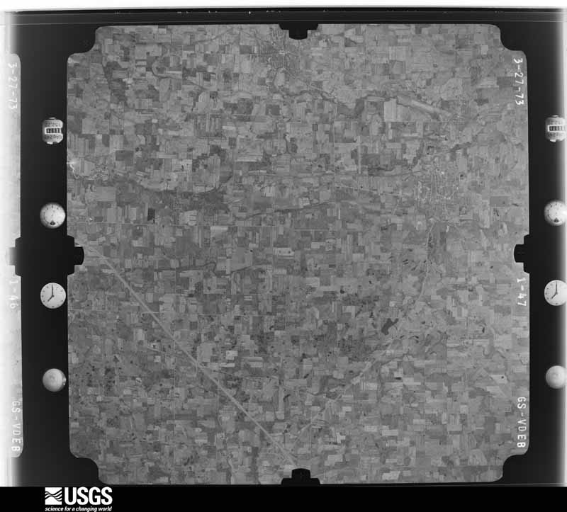
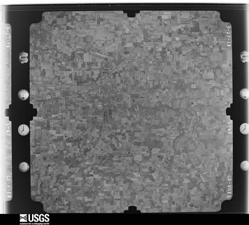
1959-05-02, scale 1:18000. U.S. Geological Survey aerial photograph.1959-05-02, scale 1:18000. U.S. Geological Survey aerial photograph.1959-05-02, scale 1:18000. U.S. Geological Survey aerial photograph.1959-05-02, scale 1:18000. U.S. Geological Survey aerial photograph.1960-04-12, scale 1:17000. U.S. Geological Survey aerial photograph.1960-04-12, scale 1:17000. U.S. Geological Survey aerial photograph.1960-04-12, scale 1:17000. U.S. Geological Survey aerial photograph.1960-04-12, scale 1:17000. U.S. Geological Survey aerial photograph.1970-07-16, scale 1:24000. U.S. Geological Survey aerial photograph.1970-07-16, scale 1:24000. U.S. Geological Survey aerial photograph.1970-07-16, scale 1:24000. U.S. Geological Survey aerial photograph.1970-07-16, scale 1:24000. U.S. Geological Survey aerial photograph.1971-03-26, scale 1:24000. U.S. Geological Survey aerial photograph.1971-03-26, scale 1:24000. U.S. Geological Survey aerial photograph.1971-03-26, scale 1:24000. U.S. Geological Survey aerial photograph.1971-03-26, scale 1:24000. U.S. Geological Survey aerial photograph.1973-10-01, scale 1:76000. U.S. Geological Survey aerial photograph.1973-10-01, scale 1:76000. U.S. Geological Survey aerial photograph.1973-10-01, scale 1:76000. U.S. Geological Survey aerial photograph.1973-10-01, scale 1:76000. U.S. Geological Survey aerial photograph.
City directories
2 volumes
The "who lived here, by year" answer:
pre-1929 public-domain directory volumes naming the county's people,
machine-read and searchable as text.
The thermometers that kept this
county's weather, and the gages that watched its rivers, as the
federal records hold them. The extremes below are measured values
from those records, not estimates.
Who lived here in 1950, one enumeration
district at a time, as the Census Bureau described each district.
Each row opens its official National Archives result, with Population
Schedules and ED Maps available there.
51-9Green Camp township - That part outside Green Camp village
51-10Marion township: Marion city: Marion city - That part of Ward 1 Bounded by New York Central Railroad, City limits; City limits; City limits, E. Center; True Ave., Wilson Ave., Barnhart
51-11Marion city - That part of Ward 1 Bounded by City limits; City limits, New York Central Railroad, Barnhart, Wilson Ave., True Ave.; E. Center; Lincoln Ave.
51-12Marion city - That part of Ward 1 Bounded by E. Fairground, City limits; Lincoln Ave.; E. Farming, N. Greenwood, E. Farming; Patterson, E. Mark, N. Greenwood
51-13Marion city - That part of Ward 1 Bounded by City limits; City limits; E. Fairground; N. Main
51-14Marion city - That part of Ward 1 Bounded by E. Fairground; N. Greenwood; Patten; N. Main
51-15Marion city - That part of Ward 1 Bounded by Patten; N. Greenwood; E. Mark; N. Main
51-16Marion city - That part of Ward 1 Bounded by E. Mark; Patterson; E. George; N. Main
51-17Marion city - That part of Ward 1 Bounded by E. George; Patterson, Quarry, N. Greenwood; E. Center; N. Main
51-18Marion city - That part of Ward 1 Bounded by E. Farming, N. Greenwood, E. Farming; Jefferson; New York Central Railroad; N. Greenwood, Quarry, Patterson
51-19Marion city - That part of Ward 1 Bounded by New York Central Railroad; Jefferson; E. Center; N. Greenwood
51-20Marion city - That part of Ward 1 Bounded by E. Farming; Lincoln Ave.; E. Center; Jefferson
51-21Marion city - That part of Ward 2 Bounded by City limits; N. Main; W. Mark, N. Prospect, Tully; Mary, City limits
51-22Marion city - That part of Ward 2 Bounded by City limits; Mark; Silver; Pennsylvania Railroad
51-23Marion city - That part of Ward 2 Bounded by City limits; Pennsylvania Railroad; Silver; Chesapeake and Ohio Railroad
51-24Marion city - That part of Ward 2 Bounded by City limits; Chesapeake and Ohio Railroad; Silver; City limits
51-25Marion city - That part of Ward 2 Bounded by Silver; Pennsylvania Railroad; W. Center, Kenton Ave.; City limits
51-26Marion city - That part of Ward 2 Bounded by Silver; Oak; W. Center; Pennsylvania Railroad
51-27Marion city - That part in Ward 2 Bounded by Tully, N. Prospect, W. Mark; N. Main; W. Center; Oak, Silver, Mark
51-28Marion city - That part in Ward 3 Bounded by Kenton Ave., W. Center; Pennsylvania Railroad; W. Columbia, Davids, Bennett; Latourette, Latourette extended, City limits
51-29Marion city - That part of Ward 3 Bounded by City limits; Latourette extended, Latourette; Bennett; City limits
51-30Marion city - That part of Ward 3 Bounded by City limits, Bennett; Fies Ave., Fies Ave. extended Erie Railroad; City limits
51-31Marion city - That part of Ward 3 Bounded by Bennett; Erie Railroad; Fies Ave. extended, Fies Ave.
51-32Marion city - That part of Ward 3 Bounded by Bennett; Uncapher Ave., Darius, Davids; Congress, Uncapher Ave., Oak Grove Ave.; Clinton, Erie Railroad
51-33Marion city - That part of Ward 3 Bounded by Bennett; Davids; Darius; Uncapher Ave.
51-34Marion city - That part of Ward 3 Bounded by W. Columbia, W. Columbia extended; Pennsylvania Railroad; Bellefontaine Ave.; Davids
51-35Marion city - That part of Ward 3 Bounded by Oak Grove Ave., Uncapher Ave., Congress; Davids, Bellefontaine Ave., Uncapher Ave.; Merkel Ave.; Highland Ave.
51-36Marion city - That part of Ward 3 Bounded by Erie Railroad, Clinton, Oak Grove Ave.; Highland Ave., Merkel Ave., Uncapher Ave.; Bellefontaine Ave., City limits; City limits
51-37Marion city - That part of Ward 3 Bounded by Bellefontaine Ave.; Pennsylvania Railroad, City limits; City limits; City limits
51-38Marion city - That part of Ward 4, excluding Harding Hotel Bounded by W. Center; Union, W. Church, Pearl; W. Columbia; Blaine Ave.
51-40Marion city - That part of Ward 4 Bounded by W. Center; Blaine Ave.; W. Columbia; Pennsylvania Railroad
51-41Marion city - That part of Ward 4 Bounded by W. Columbia; Blaine Ave.; Bellefontaine Ave.; Pennsylvania Railroad
51-42Marion city - That part of Ward 4 Bounded by W. Columbia; Girard Ave.; Bellefontaine Ave.; Blaine Ave.
51-43Marion city - That part of Ward 4 Bounded by W. Columbia; Pearl; Duluth Ave.; Cherry, Bellefontaine Ave., Girard Ave.
51-44Marion city - That part of Ward 4 Bounded by Bellefontaine Ave., Cherry, Duluth Ave.; S. Prospect, City limits; Pennsylvania Railroad
51-45Marion city - That part of Ward 5 Bounded by W. Center, E. Center; S. High Pleasant; Pearl, W. Church, Union
51-46Marion city - That part of Ward 5 Bounded by Pleasant; S. High, Bain Ave., S. State; Delaware Ave., Hill, Bellefontaine Ave.; Pearl
51-47Marion city - That part of Ward 5 Bounded by E. Center; S. Vine; St. James; S. State, Bain Ave., S. High
51-48Marion city - That part of Ward 5 Bounded by Bellefontaine Ave., Hill, Delaware Ave., S. State, St. James; S. Vine; E. Walnut, W. Walnut, S. Prospect; Pearl
51-49Marion city - That part of Ward 5 Bounded by W. Walnut, E. Walnut; Ward line, City limits; City limits; S. Prospect
51-50Marion city - That part of Ward 6 Bounded by E. Center; City limits; Mt. Vernon Ave.; Pennsylvania Ave.
51-51Marion city - That part of Ward 6 Bounded by E. Center; Pennsylvania Ave., Mt. Vernon Ave., City limits; City limits; Uhler Rd., Uhler Ave.
51-52Marion city - That part of Ward 6 Bounded by E. Center; Uhler Ave.; Indiana Ave.; Summit, E. Church, S. Grand Ave.
51-53Marion city - That part of Ward 6 Bounded by E. Center; S. Grand Ave., E. Church, Summit; Mt. Vernon Ave.; Cummin Ave., E. Church, Sargent
51-54Marion city - That part of Ward 6 Bounded by E. Center; Sargent, E. Church, Cummin Ave., Durffee Dr.; Mandana Ave., Willow; S. Vine
51-55Marion city - That part of Ward 6 Bounded by Willow, Mandana Ave., Durffee Dr., Mt. Vernon Ave.; Summit; City limits; Ward line, S. Vine
51-56Marion city - That part of Ward 6 Bounded by Indiana Ave.; Uhler Ave., Uhler Rd.; City limits; Summit
51-57Marion township - That part east of U.S. Hwy. 23, outside Marion city
51-58Marion township - That part west of U.S. Hwy. 23, outside Marion city
51-71Waldo township - That part outside Waldo village
Businesses named in the atlases
49 businesses
Every Sanborn volume opens with a printed index
naming the town's mills, tanneries, hotels and works by proprietor. Those
indexes were read off the scanned sheets by machine and then matched to each
other, so a business surveyed four times appears here once, with the years it
survived. 10 of these 49 were named in more than one atlas. Each carries a
crop of the line it was read from: the spelling is the recogniser's and the
1880s lithographer's, and the scan behind it is the proof.
Every wildfire the federal occurrence
database records inside this county: 9 of them, burning about
334 acres. 0 started naturally and 3 were
recorded as arson. Each settlement page carries the fires within five
miles of it.
Reported cause
Fires
Arson/incendiarism
3
Missing data/not specified/undetermined
3
Smoking
2
Debris and open burning
1
The five largest, by the area the report
gives. Two of them were set deliberately.
Date
Cause
Size
Reported by
Name on the report
12 November 2005
Missing data/not specified/undetermined
332 acres
Ohio Department of Natural Resources
WILDERNESS
4 August 2002
Missing data/not specified/undetermined
1.0 acres
Ohio State Fire Marshal's Office
not named
16 July 2012
Debris and open burning
under an acre
Ohio Department of Natural Resources
not named
7 July 2002
Arson/incendiarism
under an acre
Ohio State Fire Marshal's Office
not named
26 June 2002
Arson/incendiarism
under an acre
Ohio State Fire Marshal's Office
not named
6 July 2002
Smoking
under an acre
Ohio State Fire Marshal's Office
not named
12 July 2002
Smoking
under an acre
Ohio State Fire Marshal's Office
not named
19 November 2002
Missing data/not specified/undetermined
under an acre
Ohio State Fire Marshal's Office
not named
Every settlement page carries the fires within five
miles of it - see the settlement index below.
Storms, 1957 to
2026
60 of 352 shown
The
NOAA Storm Events Database holds
352 reports for this county, causing 1 death,
8 injuries and about $12,697,800 in recorded property damage.
Each settlement page carries the reports that name it.
Kind of event
Reports
Thunderstorm Wind
203
Hail
98
Tornado
17
Flood
17
Flash Flood
15
Heavy Rain
1
Funnel Cloud
1
The most serious of them, by death, then
injury, then recorded damage. The accounts are quoted exactly as the
forecast office filed them.
A severe thunderstorm moved into Marion around 4:10 pm. Numerous trees, large limbs, utility poles and power lines came down during the storm. Reports indicate that many trees fell onto homes, garages and cars throughout the city. One of the houses was damaged enough to be considered destroyed. Between 30 and 35 utility poles had to be replaced because of trees and large limbs falling onto them. One house had three trees fall onto it causing extensive damage. A house in Marion that was being remodeled sustained damage by trees. Three people working on the house quickly took shelter on a porch during the storm, but were injuried when a tree fell onto the roof of the porch and collapsed the roof. A twenty-two year old girl was killed when a large tree limb fell onto the car while she was driving. A passenger in the vehicle survived with injuries. ||Additional support was called in to help clean up in Marion. Electric companies and municipal agencies coordinated to help clean up debris. Estimated costs for clean up in Marion were approximately $91 thousand. 369 loads of debris were cleaned up throughout the city.
Marion County Emergency Management provided evidence of significant wind damage across the Marion area due to severe thunderstorm winds of up to 80 mph. Numerous trees and power lines were downed across the city with several large trees falling onto residences. Winds ripped off a significant portion of a roof of an industrial building on the west side of Marion. Winds also caused the brick facade of a building in downtown Marion to collapse onto a vehicle. The vehicle was occupied at the time of the damage and the female occupant sustained minor injuries. There was also evidence on social media that a gustnado may have formed with the squall line that moved through the Marion area just before 6 pm local time.
An intense line of thunderstorms or Derecho moved across Marion County during the afternoon of June 29th causing extensive damage. Winds were estimated to be as much as 80 mph and a 62 mph gust was measured by an automated sensor on the north end of the county. Over 75 percent of residents lost power during this event. Power was not completely restored till July 5th. Hundreds, if not thousands of trees were downed across the county along with many utility poles forcing the closure of dozens of roads and streets. Damage to homes and buildings was also extensive. Hundreds of homes and buildings lost roofing or siding with many other homes damaged by fallen trees. At least one semi truck was overturned by the strong winds. Clean up costs were extensive. The clean up was hampered by an ongoing heat wave with afternoon temperatures in the upper 90s. Significant crop losses are also expected. Damage from this storm was comparable to the remnants of Hurricane Ike in September 2008.
Heavy rain and rapid snow melt led to widespread flooding across Marion County. Rainfall totals across the county ranged from one to three inches on February 27th and 28th. Up to ten inches of heavy snow was on the ground at the onset of the rain. This snow rapidly melted as temperatures warmed into the 50s on the 28th. Up to an additional inch of water equivalent rainfall was released from the melted snow. Several people had be rescued from stranded vehicles. Hundreds of homes in the county sustained damage, mainly from basement flooding. Many roads had to be closed because of the flooding. Officially 2.78 inches of rain was measured at the Marion Airport.
The Scioto River at La Rue in Marion County Ohio experienced it's worst flood in 50 years (03/05/63 15.95 feet) when it crested at a stage of 14.18 feet on December 22nd. This major flood surpassed the more recent floods February 28, 2011 by only 0.09 feet. The Scioto River will flood the outskirts of town before reaching the city limits. When the river comes out of banks, it quickly fills up the low lying town. The Kiwanis Village retirement community, an apartment complex for seniors inundated as much as 2 feet in some units, and reached the roofs of cars left in the parking lot. 100 people had to be evacuated. Access in and out of town were cut off by flood waters. The floods were the result of heavy rain tha fell on December 21st over saturated ground. Any snow had long since melted and the ground was not frozen. The basin average rainfall was around 3 inches.
A supercell thunderstorm produced a significant downburst which damaged and destroyed several large grain storage silos in the area. A garage roof was blown off and shingles were blown off several structures. A large barn was blown off its foundation. Large tree limbs were downed as well as four power poles.
A weak tornado touched down about four miles west of Marion and remained on the ground for a short time. A garage and two barns were destroyed and a large shed was badly damaged. Numerous trees and power lines were downed and some minor damage occurred to several homes in the area. Most of the damage appeared to be caused by an intense microburst, which accompanied the tornado. Winds were estimated at 80 to 90 miles per hour.
Tennis to golf ball size hail was observed in Salt Rock Township south of Morral. The hail caused an estimated $25,000 in damage to a school building that had over thirty windows broken. Many vehicles in the area were also damaged.
Runoff from heavy rains on January 14th and 15th caused the Scioto River at Prospect to go above the flood stage of 9 feet during the early morning hours of January 6th. The river crested at 12.2 feet during the evening of the 17th and fell back below flood stage late in the afternoon on the 18th. Significant flooding occurred on streets north of Market Street and along the Main Street Curve. Several homes in these areas sustained damage from flooding.
A tornado touched down near Lyons Road approximately four miles west of the Town of Martel. The observed damage path was approximately three miles in length and was oriented west to east. The width of the path varied between 100 and 200 yards. Five homes were damaged and two mobile homes destroyed. One of the mobile homes was found wrapped around a large tree.
Marion county received between 1 and nearly 5 inches of rain on the evening of the 7th. The heaviest rain fell between 930 and 10 PM, where almost 2 inches fell between the City of Marion and La Rue. The USGS rain gage at La Rue measured 4.71 for a storm total, and gages in Marion ranged from 2.5-4.46. The deluge just before 10 PM was the likely trigger for the overwhelmed storm drainage systems resulting in flash flooding in the city. In all 41 individual water rescues were conducted from trapped motorists, and 11 family homes were evacuated and relocated. Several more homes were flooded, primarily in their basements. Only one home and one apartment complex sustained water damage on the first floor. The water table prior to this event was unusually low, and the rivers and creeks were able to handle the runoff across most of the county with minimal damages or impacts apart from closed roads.
A line of severe thunderstorms moved across Marion County and dumped heavy rain on already saturated ground. Spotters reported between one and two inches of rain during the afternoon storms. Streams and rivers in flood or close to flood quickly rose forcing the closure of several roads. State Route 309 near Marion had to be closed because of flood waters greater than a foot deep. Many homes and businesses sustained damage from the flooding.
A line of severe thunderstorms moved across Marion County and downed dozens of trees. Scattered power outages were also reported. Several homes, including at least one in Marion, sustained damage during the storm.
A thunderstorm downburst caused significant damage in and around Caledonia. An older brick building collapsed from the winds. A nearby barn lost it's roof and dozens of trees were toppled. Many power lines were knocked down resulting in scattered power outages.
A line of thunderstorms caused considerable damage in Marion County. A silo was damaged near LaRue and a semi truck was blown over near Marion. Many trees and large limbs were also downed across the area.
Thunderstorm winds downed many trees across the county. The worst damage occurred in the western half of the county. Two cars were damaged by fallen trees in Marion.
Localized heavy rain moved over southern Marion County on the evening of June 19th starting around 630 PM. The rain peaked around 725 PM with rates measured around 2.5 inches per hour. Storm total rainfall over southern Marion County was between 1.5 and 2.5 inches, with higher amounts measured just south of the county line. This localized heavy rain resulted in flash flooding over the Village of Prospect, and moderate flooding on the Scioto River. The heavy rain caused ponded water up to 2 feet surrounding multiple homes in town. 16 Roads in Marion County flooded. The Scioto River was already in minor flooding, the result of multiple days of rain, when the heavy rain of the 19th pushed it into moderate flood. Two water rescues were conducted, one on Gearheiser Rd. with a semi submerged in about 4 1/2 of water. The second was on Marion Agosta Rd/Prospect Upper Sandusky Rd S. Battle Run, a tributary to the Scioto River on the south side of town was backed up from Battle Street to Park Street. Most of the flash flood impacts were located over the central part of town not typically floodprone due to its distance from the river. Areas impacted include East Street to 6th St, and Gustin Dr south to Park St.
An area of heavy rainfall moved over Marion County during the late afternoon and evening hours of July 12th. Locations from LaRue to Martel in northeastern Marion County were affected by the heavy rain. As a result, numerous roads were closed because of flood waters several feet deep. Some of the affected roads included State Route 100 northeast of Martel, State Route 37 north of LaRue, State Route 423 north of the City of Marion, State Route 231 just west of Brush Ridge, and State Route 309 in western Marion County. Rainfall reports across the county ranged from two and four inches during this event.
High water was reported in Tully Township and Martel as heavy rainfall estimated between two and three inches fell over the areas on the night of the 9th and early morning hours of the 10th. Numerous washouts occurred due to excessive runoff and flowing water from tributaries of the Olentangy River. Access into Tully was cut off for the better part of the next day. The flooding occurred in areas that do not usually flood.
Trees and power lines were downed across the county. A large tree fell in Marion and completely destroyed a 24 foot above ground swimming pool. A car was damaged by a falling tree in New Bloomington.
Thunderstorms dumped locally heavy rains on the northwestern corner of Marion County. Storm total radar estimates from that part of the county were 3 to 6 inches. Flooding occurred in many low lying areas with several roads closed at times. Most of this flooding was near Meeker and Larue. Both State Route 309 and 37 were flooded by several inches of water and had to be briefly closed.
Thunderstorms dumped up to three inches of rain on the northwestern portion of Marion County. The worst flooding occurred in the Meeker area after a couple small streams left their banks. Several roads had to be closed in this area.
Thunderstorm winds downed several trees and large limbs across the southeastern corner of Marion County. A home in the City of Marion was damaged by a fallen tree. At least two vehicles were damaged by fallen trees. Scattered power outages were reported.
Thunderstorm winds downed several trees and large tree limbs. A car was damaged and a mobile home had some skirting torn off. Two small sheds were also blown down.
A 66 mph thunderstorm wind gust was measured at the Marion Airport. Several trees were downed in Marion and a barn just outside of Marion had one third of its roof torn off. A car was also damaged by a fallen tree.
Several homes were surrounded by water in Prospect as the Scioto River in Prospect reached moderate flood stage on the early morning hours of June 20th. State Route 203 flooded on the northern side of town, a major thruway in town. Homes north of Market Street were also surrounded by flood waters, with one home on Raymar Court inundated to the first floor. The Scioto River crested at 14.3 feet around 4 AM on June 20th, almost a foot above moderate flood stage.
An EF0 tornado touched down in a corn field along Benzler Lust Road just to the east of Benzler Road. The tornado tracked northeast for just over a half mile and lifted as it approached Owens Road. A barn near the initial touchdown lost its roof and a tree was knocked down nearby. Some crop damage also occurred.
The Scioto River came out of it's banks on June 16th and crested around midnight at 13.82 feet, just shy of the 14 feet major flood stage. The river inundated several streets in La Rue which were closed, and some homes and businesses sustained flooding in their basements.
After seventeen consecutive days with rain, the heavy rain that moved through northeastern Marion County on July 10th 2013 was enough to produce one more round of flooding. In a matter of 15 minutes, residents say it went from standing water to a flash flood with more than a foot of rushing water from the Hell Branch Run into portions of Caledonia. Some businesses and basements were inundated with water and mud.
Torrential rain fell over portions of Marion County as severe thunderstorms moved through the region. Rainfall rates over an inch per hour produced rapid runoff with rapid filling of small streams and creeks. This resulted in the flooding of local roadways. Rocky Fork, Prairie Run, and Grave Creek came over their banks, some by as much as 2.5 feet. The Marion County Engineers office says numerous county gravel roads were flooded and closed.
After recent heavy rains throughout the area over the past few days, another round of heavy rain moved through the area during the morning hours of the 22nd. With recent rainfall already saturating the ground and bringing streams and rivers to capacity, this additional rainfall led to flooding throughout northeastern Marion County. Tully, Scott, Claridon, and Richland Townships were most affected with many roads closed because of flooding. The water did not recede until the midday hours of the 23rd.
Thunderstorm winds downed a large tree near New Bloomington. A truck struck the fallen tree resulting in serious injuries to the driver. A second tree was downed near Marion.
Thunderstorm winds downed two trees two miles north of New Bloomington. Both trees landed on a house and caused some roof damage.
Mines and
quarries
23 recorded
The Survey's mineral resources record
lists 23 workings inside this county. 11 still
produce and 12 are closed or unrecorded. Each settlement
page carries the workings within five miles of it.
Commodity
Workings
Sand and Gravel, Construction
12
Limestone, General
3
Clay
3
Stone, Crushed/Broken
3
Fire Clay (Refractory)
2
The least common of them first, because a
county's hundredth gravel pit says nothing its first ten did not.
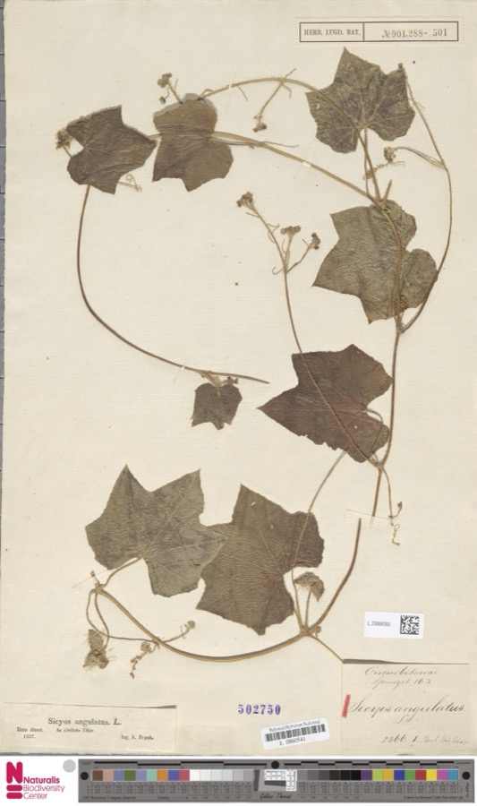
Museum specimens collected inside this
county and catalogued with a date and a place: 481 of them, by
kingdom 463 animalia, 10 plantae, 8 fungi. Each is a physical object in a named collection, not a
sighting. Held by YPM, Ohio State University - Bird Division, Columbus, OH (OSUM), Ohio State University - Fish Division, Columbus, OH (OSUM), UMMZ, Ohio State University - Amphibian Division, Columbus, OH (OSUM), Ohio State University - Reptile Division, Columbus, OH (OSUM) among others, and each settlement page carries
the specimens collected near it.
The oldest of them. A specimen proves
something was collected on that day; its absence proves nothing.
The History of Marion County, Ohio, Containing a History of the County; Its Townships, Towns, Churches, Schools, Etc; General and Local Statistics; Military Record; Portraits of Early Settlers and Prominent Men; History of the Northwest Territory; History of Ohio devotes a chapter to each township:
its boundaries and streams, who settled it and when, the mills, the
schools and the churches. All 1 are reproduced here in full. Each row
shows the township's own shape and where it lies in the county, drawn from
the Census Bureau's boundary. Which settlements belong to which township
is computed from that same boundary, not taken from the book.
Named settlements recorded in the Geographic Names
Information System, each with the topographic sheets covering it. Villages,
hamlets and abandoned places alike. Each is shown with the watercourse or
landform it stands on and the survey quadrangle it falls on. The 5
places that were also surveyed for fire insurance come first, with the
number of atlases and photographs held for them.
The complete index, with nothing left out.
Each of these is a separate record with its own page: a federal survey
report, or the case file that argued a property on to the National
Register. Both are public domain and reproduced word for word.
Topographic sheets. USGS Historical Topographic Map Collection, county index, measured from the bulk metadata.
Fire insurance maps. Library of Congress Sanborn collection, faceted to this county.
Photographs. Each place queried individually against the Library of Congress Prints and Photographs search.
Wildfire. Short, Karen C. 2022. Spatial wildfire occurrence data for the United States, 1992-2020 [FPA_FOD_20221014]. 6th Edition. Fort Collins, CO: Forest Service Research Data Archive. https://doi.org/10.2737/RDS-2013-0009.6 Collected with United States Government funding and usable without additional permissions or fees.
Specimens. Global Biodiversity Information Facility (GBIF), https://www.gbif.org/. Only records licensed CC0 or CC BY are used. Records licensed CC BY-NC are excluded because this site carries advertising. Images are checked individually and any whose licence is non-commercial, no-derivatives or unreadable is refused.
Mines and quarries. USGS Mineral Resources Data System (MRDS) https://mrdata.usgs.gov/mrds/ A work of the United States government, no copyright under 17 U.S.C. 105.
Storms. NOAA National Centers for Environmental Information, Storm Events Database https://www.ncei.noaa.gov/stormevents/ A work of the United States government, no copyright under 17 U.S.C. 105. Narratives are quoted verbatim from the National Weather Service report and are not edited or summarised.
 Block
Block