 Block
Block
Sardinia, Ohio
13 topographic sheets cover this place, the earliest surveyed in 1917 and the latest in 1986. It stands in Washington Township. It lies in ZIP code area 45171. It stands on Twin Run. The Survey maps it on the Sardinia quadrangle. 1,083 people lived here at the 2020 count. It stands 958 feet above sea level.
Population over time
2 figuresSardinia grew from 980 to 1,083 between 2010 and 2020. These are the recorded population figures Wikidata holds for this place, reached through the Geographic Names Information System number this page is keyed on rather than by name, so they belong to this place and not to another of the same name. Most are census counts, but not all are: an early figure may be a founding or settlement estimate. The change column is computed, and is left blank where more than 20 years separate a figure from the one before it, because a gap that long is not a change between two counts.
| Year | People | Change |
|---|---|---|
| 2010 | 980 | |
| 2020 | 1,083 | +103 (+11%) |
Then and now
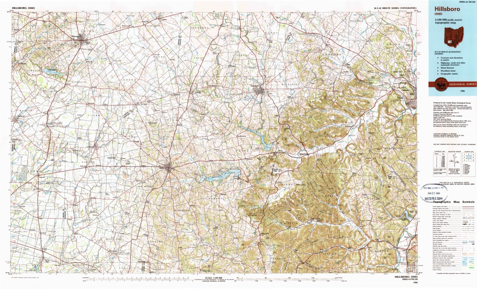
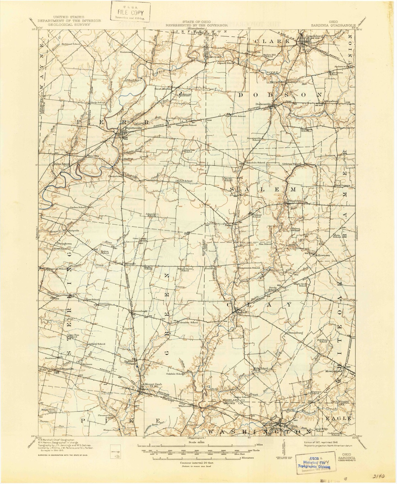
1917 to 1986The same ground, surveyed 69 years apart. Drag the handle to wipe between them. Both sheets are United States Geological Survey originals; neither has been altered.
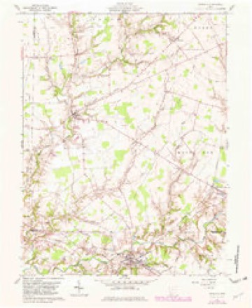
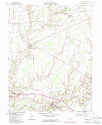
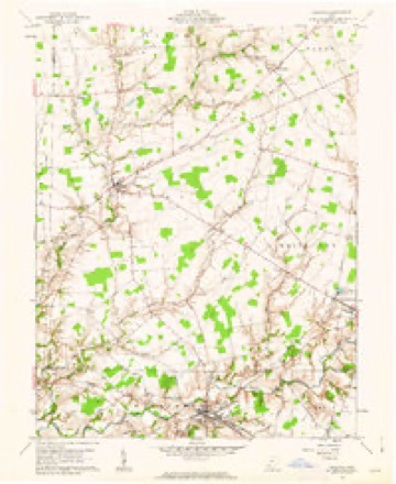
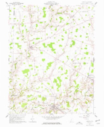
Topographic sheets covering this place
13 sheetsMatched by testing this settlement's coordinate against the published boundary of every sheet in the United States Geological Survey's historical collection. Each opens the scanned sheet at the Survey.
- 1917 USGS Sardinia quadrangle1:62500
- 1944 USGS Sardinia quadrangle1:62500
- 1947 USGS Columbus quadrangle1:250000
- 1961 USGS Columbus quadrangle1:250000
- 1961 USGS Sardinia quadrangle1:24000
- 1961 USGS Sardinia quadrangle1:24000
- 1961 USGS Sardinia quadrangle1:24000
- 1961 USGS Sardinia quadrangle1:24000
- 1962 USGS Columbus quadrangle1:250000
- 1967 USGS Columbus quadrangle1:250000
- 1967 USGS Columbus quadrangle1:250000
- 1986 USGS Hillsboro quadrangle1:100000
- 1986 USGS Hillsboro quadrangle1:100000





In the county-history sources
252,199 words on this townshipThe History of Brown County, Ohio, Containing a History of the County ... General and Local Statistics; Portraits of Early Settlers and Prominent Men; History of the Northwest Territory; History of Ohio; Map of Brown County; Constitution of the United States .., published 1883 names this settlement in its chapter on Washington Township. These are the passages that mention it, exactly as the scans read.
XJntil the latter part of the year 1815 or the first of the year following, services were held at private houses, and perhaps in the groves when the weather permitted. This year, a rude log house was erected, which stood in Highland County, probably two miles northeast of the present village of Sardinia, just over the line separating the two counties. January 1, 1818, the church extended a regular call for one- quarter of the labor of Rev. Mr. White as a stated pastor. The call was accepted, and Mr. White was installed pastor of the united congregations of New Market and White Oak about June 3, 1818. The membership for the years 1818, 1819, 1820, 1821 and 1822 was thirtytwo, thirty, thirty-two, thirty-six and thirty-nine, respectively. Mr. White remained the pastor of the congregation until December, 1823, and preached occasionally for them until March 7, 1824, when he delivered his farewell sermon. Rev. Robert Dobbins, as stated supply, succeeded Mr. White to the pastorate, and served from April 24, 1824, until 1833, when the Rev. Robert Rutherford's ministerial labor began with the congregation. Father Dobbins is said to have been an eccentric man, strong in his affections and positive in his hatreds. In 1829, the second church building was erected, on ground given to the congregation by Amos Pettijohn, located at the cemetery at Sardinia. It was constructed of brick, and served as a place of worship until about the year 1846, when the present frame building was erected at Sardinia. John Moore was very active in the interests of the church, and gave liberally toward the building of the new edifice. The membership of the church in 1830 was forty-five; in 1831, seventy-four; and in 1832, eighty-four. Mr. Rutherford was succeeded to the pastorate by Rev. Dyer Burgess in 1837, who served the church during that and the following year, when his successor was the Rev. James Shaw, w7ho remained in charge until May, 1841. During the decade from 1830 to 1840, the records, as pertains to the pastors, is obscure, and it is possible that some of the names given were only supplies. During this period appears the names of Rev. George Pogue and James H. Dickey, and, in 1840, that of Rev. John Rankin. The latter year, the church membership was ninety-six. In 1841, the name of Rev. Dyer Burgess again appears.
Passage source: The History of Brown County, Ohio, Containing a History of the County ... General and Local Statistics; Portraits of Early Settlers and Prominent Men; History of the Northwest Territory; History of Ohio; Map of Brown County; Constitution of the United States .., published 1883.
Congregation, and served until December 3, 1850. In 1848, the congregation petitioned the Presbytery to change the name of the church from White Oak Congregation to that of Sardinia Church, which was done. Rev. Rankin was succeeded by Rev. John H. Byrd, whose pastorate commenced May 1, 1851, and ended in 1854. Under his ministry, the church, September 29, 1851, adopted new articles of faith, and was organized as a Congregational Church, which lasted only through his pastorate, then again became a Presbyterian Church. In 1852, the Beauford and Sardinia Churches were consolidated. Other pastors of the church have been as follows: Rev. S. A. Vandyke, December, 1854, to 1857; Rev. V. M. King, October 1, 1859, to 1868; Rev. H. W. Guthrie, June 1, 1868, to January, 1870. The church was then without a pastor for some years. Rev. S. A. Vandyke became the stated supply, and served the congregation in 1879, 1880 and 1881.
Passage source: The History of Brown County, Ohio, Containing a History of the County ... General and Local Statistics; Portraits of Early Settlers and Prominent Men; History of the Northwest Territory; History of Ohio; Map of Brown County; Constitution of the United States .., published 1883.
Methodist Episcopal Church at Sardinia. - Among the early settlers of what is now Washington Township, there were a number of Methodist families who had settled mainly along the stream known as Slab Camp, prominent among whom were the Kevins, Days and Hamiltons. For a number of years, the principal preaching-place of this denomination was at the house of Andrew Nevin. Private residences were freely thrown open for worship in the early day3 of the settlement along Slab Camp, and, later, schoolhouses were much used. At what time the first class or society was here organized we cannot state, as we can find no record on the subject. However, from tradition, there seems to have been a Methodist society along the stream named at a very early day. This section of the country was then in White Oak Circuit, the ministers of which, from 1808 to 1820, were the following named: 1808, David Young;
Passage source: The History of Brown County, Ohio, Containing a History of the County ... General and Local Statistics; Portraits of Early Settlers and Prominent Men; History of the Northwest Territory; History of Ohio; Map of Brown County; Constitution of the United States .., published 1883.
Machine-read from a century-old scan, so expect the errors a machine makes: misspelled names, dropped words, stray characters.
Read the whole chapter on Washington Township - it names this place 49 more 49 times.
Fires near this place
7 since 2002Regional context, not property-specific evidence. The federal wildfire occurrence database lists 7 fires within 5 miles of Sardinia between 2002 and 2020, burning about 32 acres in total. None started naturally. None was recorded as arson. Distance is straight-line from the map coordinates, so a fire counted here may appear on a neighbouring settlement's page as well.
| Reported cause | Fires |
|---|---|
| Missing data/not specified/undetermined | 4 |
| Debris and open burning | 1 |
| Recreation and ceremony | 1 |
| Fireworks | 1 |
The most recent of them, most recent first, with the day each was reported and the service that recorded it.
| Date | Cause | Size | Reported by | Name on the report |
|---|---|---|---|---|
| 6 September 2007 | Missing data/not specified/undetermined | 15 acres | Ohio Department of Natural Resources | not named |
| 8 August 2002 | Recreation and ceremony | 2.0 acres | Ohio State Fire Marshal's Office | not named |
| 2 July 2019 | Debris and open burning | 1.0 acres | Ohio Department of Natural Resources | 15209 |
| 12 July 2002 | Missing data/not specified/undetermined | 12 acres | Ohio State Fire Marshal's Office | not named |
| 10 July 2020 | Missing data/not specified/undetermined | under an acre | Ohio Department of Natural Resources | 16065 |
| 22 May 2019 | Missing data/not specified/undetermined | 1.0 acres | Ohio Department of Natural Resources | 15204 |
| 19 May 2019 | Fireworks | 1.0 acres | Ohio Department of Natural Resources | 15202 |
Settlements close enough to share some of these fires:
Specimens collected near this place
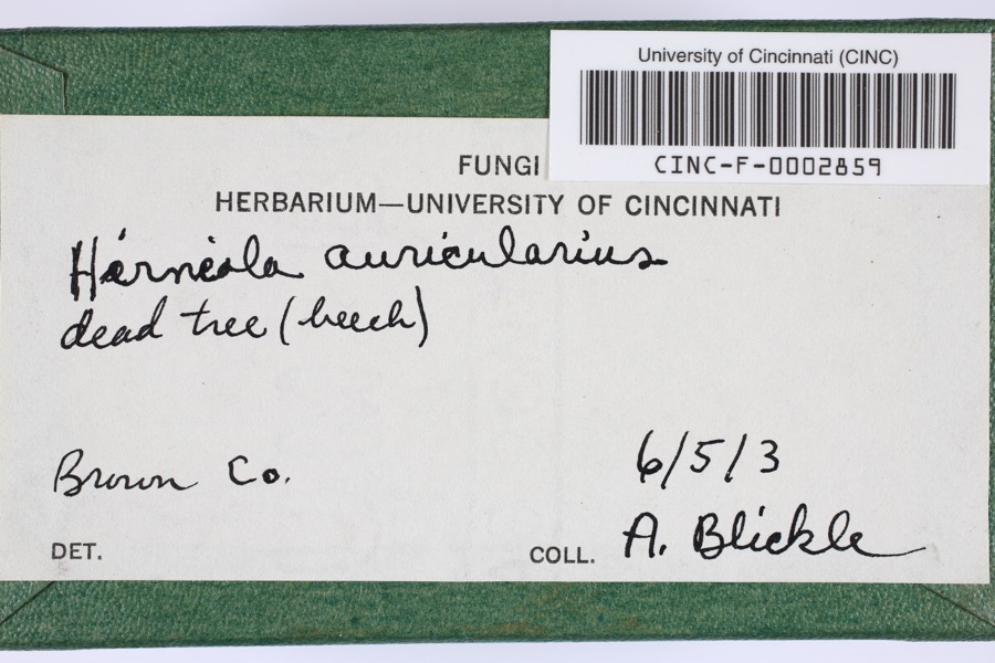
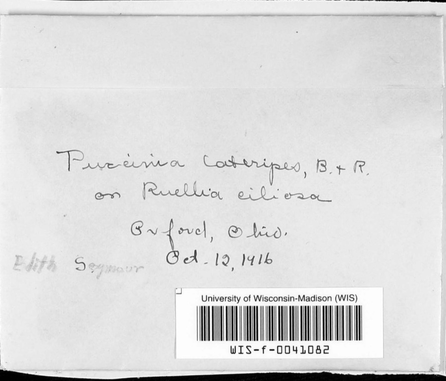
12 of 254 shownRegional context, not property-specific evidence. Museums hold 254 specimens collected within 10 miles of Sardinia between 1885 and 1974: 172 Animalia, 73 Fungi, 9 Plantae. 12 distinct Species records are shown. Collected by A JOHN, A. B. Seymour, A. Braun and others. Each is a physical object with a catalogue number, and each entry opens the museum's record. This is what was collected and kept, not a survey of what lives here - nothing can be concluded from a species being absent.
| Image | Species | Year | Collected by | Where, as recorded |
|---|---|---|---|---|
 | Hirneola auricularis (Gray) Donk | 1903 | Blickle, A.H. | Brown County, Ohio |
 | Puccinia lateripes Berk. & Ravenel | 1916 | A. B. Seymour | |
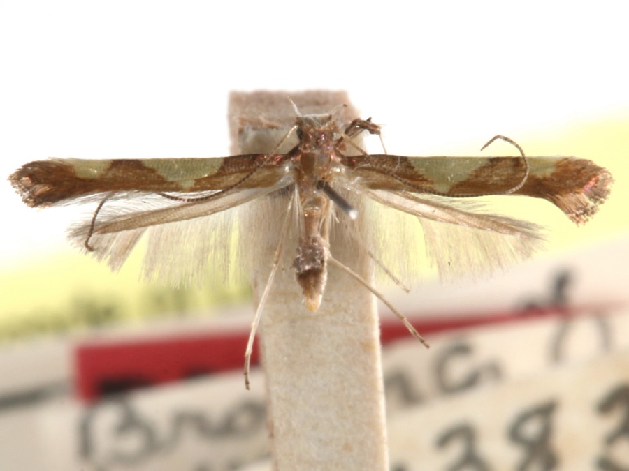 | Caloptilia speciosella (Braun, 1939) | 1929 | A. Braun | [Not Stated] |
 | Valsa ludibunda Sacc. | 1885 | Rev. C. H. Demetrio | (a) Missouri, (b) Newfield, N. J. |
 | Equisetum hyemale L. | 1897 | Kreke, Fr. M. | Arnheim |
 | Uromyces phaseoli G.Winter | 1905 | Stephens J. | Mt. Orab |
 | Perenniporia robiniophila (Murrill) Ryvarden | 1909 | J. P. Tracy | |
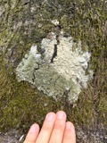 | Anaptychia palmulata (Michx.) Vain. | 1923 | Braun, E. Lucy | White Oak Creek |
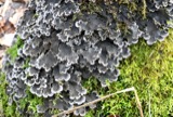 | Peltigera praetextata (Flörke ex Sommerf.) Zopf | 1923 | Braun, E. Lucy | White Oak |
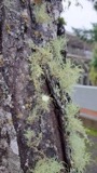 | Usnea subfloridana Stirt. | 1923 | Braun, E. Lucy | White Oak |
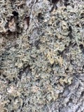 | Lobaria pulmonaria (L.) Hoffm. | 1924 | Braun, E. Lucy | Sardinia |
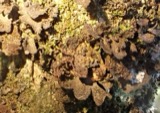 | Sticta fuliginosa (With.) Ach. | 1924 | Braun, E. Lucy | Sardinia |
All 254 specimens within 10 miles, at the Global Biodiversity Information Facility.
Storms near this place
22 since 1997Regional context, not property-specific evidence. The National Weather Service names Sardinia in 22 storm reports between 1997 and 2022: 12 thunderstorm wind, 7 hail, 2 tornado, 1 flash flood. No death or injury is recorded in these reports. Each account below is quoted exactly as the forecast office filed it, from the NOAA Storm Events Database, and each date opens the federal record of that event.
| When | Event | Place named | Harm | What the report says |
|---|---|---|---|---|
| June 2022 | Tornado (EF0) | Sardinia | $40,000 | Widespread minor tree damage was observed throughout Sardinia and in surrounding areas. Much of this is believed to have been caused by straight line winds of around 60 to 70 mph.||However, a more concentrated corridor of damage was also observed, and this damage was caused by a tornado. The first tornadic damage was observed near the intersection of Hope Lane and Purdy Road, where tree damage extended into a neighborhood south of Charles Street. The most significant tree damage was observed on Oakdale Avenue. A stand of softwood trees was heavily damaged with numerous trees snapped off. Further east, behind some houses, several large hardwood trees were uprooted. These trees were found to be laying in different directions.||Additional tree damage was also observed on a consistent path to the east that crossed State Route 32, Siteman Road, and Katterman Road. No additional damage was found east of Katterman Road. Based on the tree damage found on Oakdale Avenue, the strongest winds in this tornado were estimated to be 75 mph. |
| August 2016 | Tornado (EF0) | Sardinia | $30,000 | A weak tornado touched down on the west side of Sardinia near Highway 24B (Maple Ave) and moved east-northeast through the village, ending on the northeast side of town near Highway 32 (Appalachian Highway).||The beginning of the tornado track was marked by scattered broken tree branches generally 3 to 6 inches in diameter. These branches tended to fall in a narrow corridor indicating convergence along the track. This was the primary damage observed near Maple Ave as it entered the western portion of Sardinia up to just south of the|intersection with Broad Street. A few slightly larger branches up to approximately 8 inches in diameter were broken as the tornado moved just south of Winchester Street. Wind speeds of approximately 60 to 70 mph likely caused much of this damage.||The tornado appeared to strengthen and widen as it continued to move near and just south of Sardinia-Mowrystown Road in Sardinia. Minor structural damage became more evident in this area and larger trees were broken. A gas station pump was dislodged from its base near the intersection with Winchester Street, and a section of roofing|approximately 45 feet by 10 feet was partially removed from a storage barn 100 yards to the east-northeast. Tree limbs, 4 to 7 inches in diameter, were broken across the street in the cemetery and fell south toward the center line of the track. Three large trees approximately 12-18 inches in diameter were uprooted and oriented toward the northeast on the south side of Sardinia-Mowrystown Road, near the intersection with Kelly Street. Wind speeds of 65 to 75 mph likely brought down these trees, though wet soils also contributed.||A brick chimney was also partially destroyed on a nearby house. An overall convergent debris pattern was evident in this area, especially with the tree damage.||The tornado then started to weaken just before dissipating east of Brookfield Place near Highway 32 (Appalachian Highway). A metal carport approximately 20 feet by 12 feet was lifted from the north side of Brookfield Place near the intersection with Meadow View, carried across Brookfield Place, and dropped on the south side of|the road. Leaf splatter was also observed on the west-facing side of a motor home near where the carport was dropped. An eyewitness at this location described a column of rotating debris associated with the tornado. Minor tree damage was noted at the east end of Brookfield Place, after which the tornado dissipated. Wind speeds in|this area were likely 60 to 70 mph. |
| May 2015 | Thunderstorm Wind | Sardinia | $20,000 | Thunderstorm winds damaged a church roof. Numerous trees were also knocked down. Some structural damage occurred to a few buildings due to fallen trees. |
| August 1999 | Thunderstorm Wind | Sardinia | $20,000 | Numerous large limbs and a tree were knocked down. The tree fell on a house causing damage. |
| March 2012 | Thunderstorm Wind | Sardinia | $10,000 | Numerous trees were reported down due to damaging thunderstorm winds. |
| June 2022 | Thunderstorm Wind | Sardinia | $5,000 | Several trees were downed in the Sardinia area. |
| July 2000 | Thunderstorm Wind | Sardinia | $5,000 | Numerous trees downed. |
| August 2017 | Thunderstorm Wind | Sardinia | $3,000 | Several trees and power lines were reported knocked down. |
| October 2001 | Thunderstorm Wind | Sardinia | $3,000 | Numerous trees were downed across the area. |
| July 1999 | Thunderstorm Wind | Sardinia | $3,000 | Trees knocked down. |
| June 1998 | Thunderstorm Wind | Sardinia | $3,000 | Trees downed. |
| August 1997 | Thunderstorm Wind | Sardinia | $3,000 | Numerous trees downed. |
| July 2012 | Thunderstorm Wind | Sardinia | $2,000 | A few trees were downed in the northern portions of Brown County. |
| April 2011 | Flash Flood | Sardinia | $2,000 | High water was reported on multiple roadways due to heavy rainfall. |
| July 2006 | Thunderstorm Wind | Sardinia | $2,000 | Large tree limbs were knocked down. |
| April 2007 | Hail | Sardinia | $2,000 | no account filed |
| April 2007 | Hail | Sardinia | $2,000 | no account filed |
| May 2022 | Hail | Sardinia | - | no account filed |
| May 2022 | Hail | Sardinia | - | no account filed |
| April 2020 | Hail | Sardinia | - | no account filed |
| March 2012 | Hail | Sardinia | - | no account filed |
| March 2011 | Hail | Sardinia | - | no account filed |
Nearest settlements
The eight closest, with where each one stands in the county. Distances are straight-line, computed from the Geographic Names Information System coordinates.
| Map | Place | Distance | Sheets |
|---|---|---|---|
| Five Points | 2.4 miles | 11 | |
| Brownstown | 3.1 miles | 11 | |
| White Oak | 3.7 miles | 13 | |
| Fincastle | 5.1 miles | 10 | |
| Macon | 5.2 miles | 10 | |
| Arnheim | 5.2 miles | 11 | |
| Mount Orab | 6.0 miles | 13 | |
| West Arnheim | 6.2 miles | 11 |
Elsewhere
Matched on this settlement's Geographic Names Information System number rather than its name, so it cannot be a different place of the same name in another state.
| Wikipedia article on Sardinia | An encyclopaedic summary. Its text is share-alike, so it is linked here rather than copied. |
| Wikidata item Q36879 | The structured record the population and elevation above come from. Public domain (CC0). |
Provenance
This settlement is recorded in the Geographic Names Information System as feature 1077345. The sheet list is computed by point-in-boundary test against the United States Geological Survey's historical topographic inventory. Both are works of the United States government and carry no copyright under 17 U.S.C. 105.
Wildfire. Short, Karen C. 2022. Spatial wildfire occurrence data for the United States, 1992-2020 [FPA_FOD_20221014]. 6th Edition. Fort Collins, CO: Forest Service Research Data Archive. https://doi.org/10.2737/RDS-2013-0009.6 Collected with United States Government funding and usable without additional permissions or fees.
Specimens. Global Biodiversity Information Facility (GBIF), https://www.gbif.org/. Only records licensed CC0 or CC BY are used. Records licensed CC BY-NC are excluded because this site carries advertising. Images are checked individually and any whose licence is non-commercial, no-derivatives or unreadable is refused.
Storms. NOAA National Centers for Environmental Information, Storm Events Database https://www.ncei.noaa.gov/stormevents/ A work of the United States government, no copyright under 17 U.S.C. 105. Narratives are quoted verbatim from the National Weather Service report and are not edited or summarised.