 Block
Block
Saxonville, Massachusetts
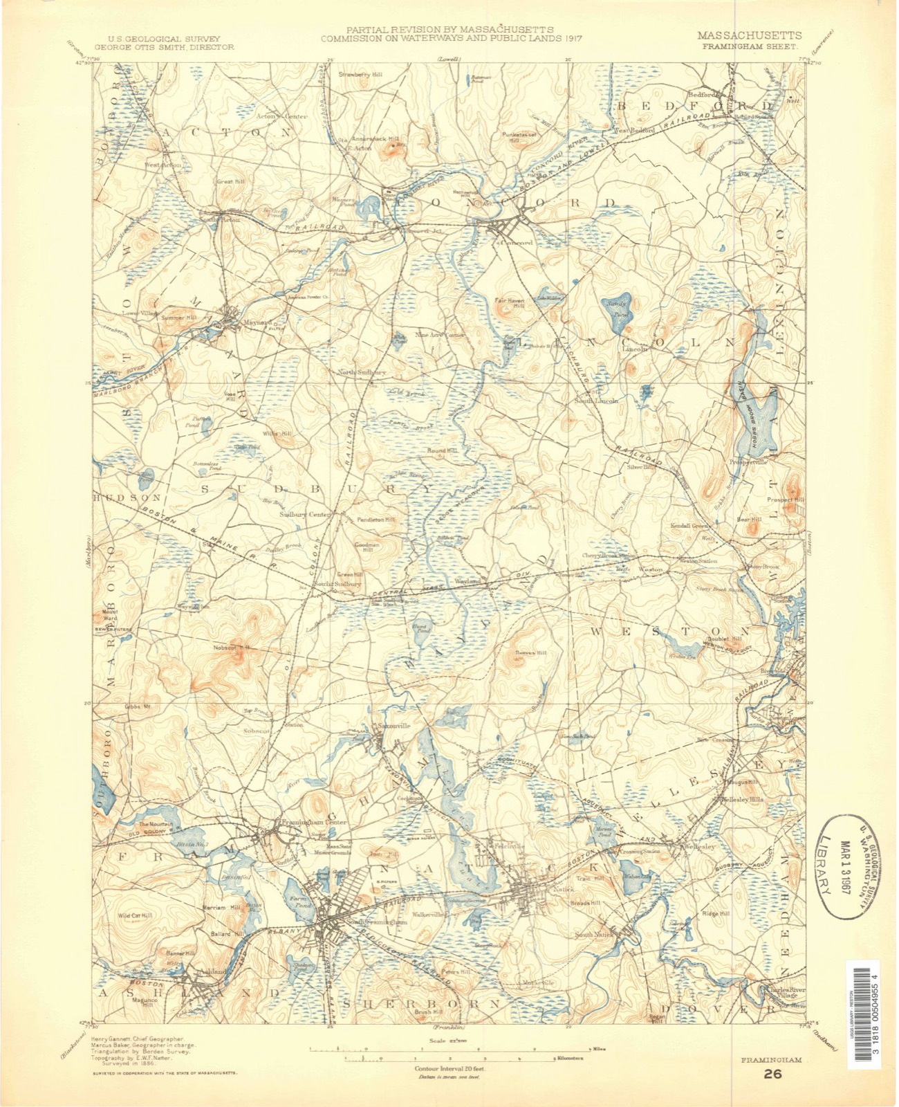
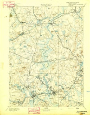
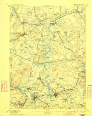
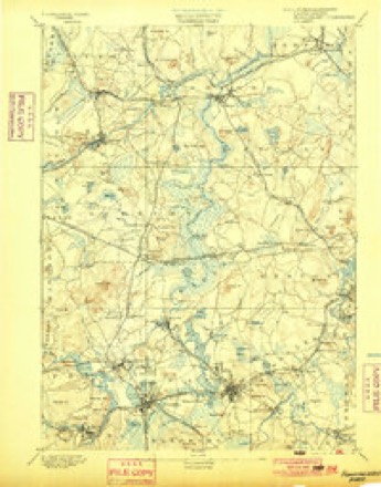
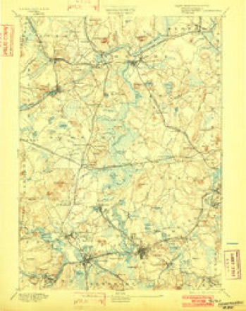
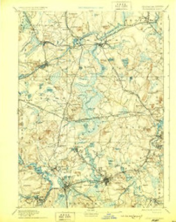
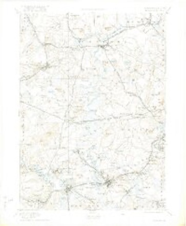
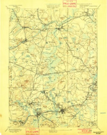
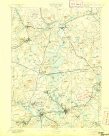
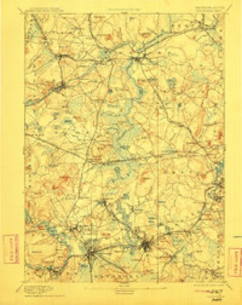
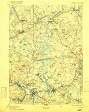
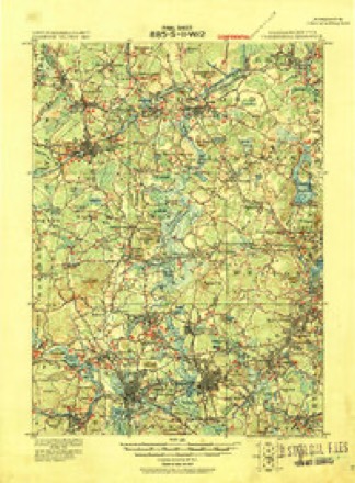
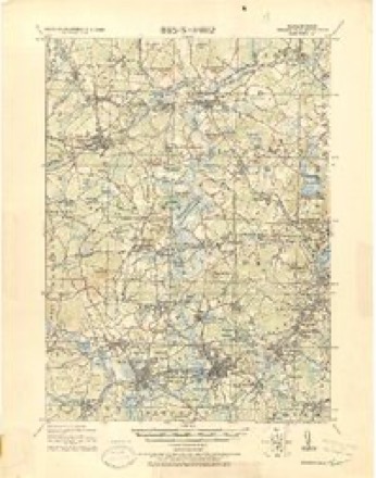
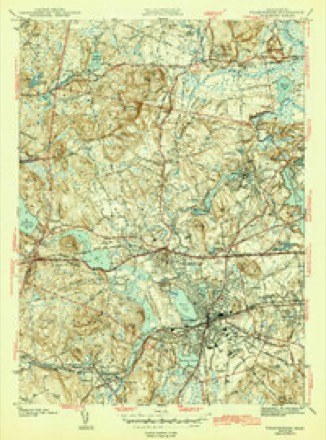
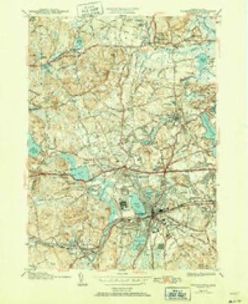
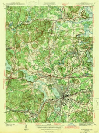
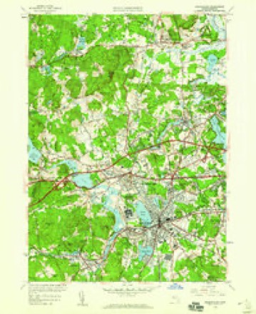
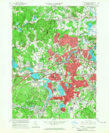
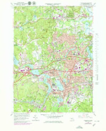
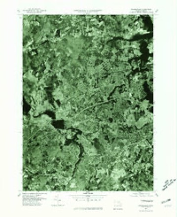
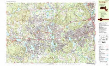
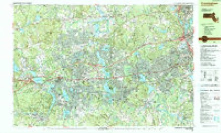
40 topographic sheets cover this place, the earliest surveyed in 1886 and the latest in 1989. It stands in Framingham City. It lies in ZIP code area 01701. It stands on Cochituate Brook. The Survey maps it on the Framingham quadrangle.
Then and now
1886 to 1989The same ground, surveyed 103 years apart. Drag the handle to wipe between them. Both sheets are United States Geological Survey originals; neither has been altered.

Topographic sheets covering this place
40 sheetsMatched by testing this settlement's coordinate against the published boundary of every sheet in the United States Geological Survey's historical collection. Each opens the scanned sheet at the Survey.
- 1886 USGS Framingham quadrangle1:62500
- 1889 USGS Framingham quadrangle1:62500
- 1894 USGS Framingham quadrangle1:62500
- 1894 USGS Framingham quadrangle1:62500
- 1894 USGS Framingham quadrangle1:62500
- 1894 USGS Framingham quadrangle1:62500
- 1894 USGS Framingham quadrangle1:62500
- 1894 USGS Framingham quadrangle1:62500
- 1894 USGS Framingham quadrangle1:62500
- 1894 USGS Framingham quadrangle1:62500
- 1894 USGS Framingham quadrangle1:62500
- 1894 USGS Framingham quadrangle1:62500
- 1894 USGS Framingham quadrangle1:62500
- 1918 USGS Framingham quadrangle1:62500
- 1918 USGS Framingham quadrangle1:62500
- 1943 USGS Boston quadrangle1:125000
- 1943 USGS Framingham quadrangle1:31680
- 1943 USGS Framingham quadrangle1:31680
- 1943 USGS Framingham quadrangle1:31680
- 1948 USGS Boston quadrangle1:250000
- 1948 USGS Boston quadrangle1:250000
- 1950 USGS Framingham quadrangle1:24000
- 1956 USGS Boston quadrangle1:250000
- 1956 USGS Boston quadrangle1:250000
- 1956 USGS Boston quadrangle1:250000
- 1956 USGS Boston quadrangle1:250000
- 1956 USGS Boston quadrangle1:250000
- 1956 USGS Boston quadrangle1:250000
- 1958 USGS Boston quadrangle1:250000
- 1958 USGS Boston quadrangle1:250000
- 1961 USGS Boston quadrangle1:250000
- 1961 USGS Boston quadrangle1:250000
- 1965 USGS Framingham quadrangle1:24000
- 1965 USGS Framingham quadrangle1:25000
- 1977 USGS Framingham quadrangle1:25000
- 1985 USGS Boston quadrangle1:100000
- 1987 USGS Framingham quadrangle1:25000
- 1987 USGS Framingham quadrangle1:25000
- 1989 USGS Boston quadrangle1:100000
- 1989 USGS Boston quadrangle1:100000
















In the county-history sources
30,115 words on this townshipHistory of Middlesex County, Massachusetts, with Biographical Sketches of Many of Its Pioneers and Prominent Men, published 1890 names this settlement in its chapter on Framingham City. These are the passages that mention it, exactly as the scans read.
The first class consisted of Jona. Hill (leader), Benj. Stone, Isaac Stone and their wives, and Matthew Stone. They first met for religious worship in the dwelling-house of Henj. Stone. This was one of the earliest - if not the earliest - church of the order, gathered in Massachusetts. The records of the old Needham Circuit) do not extend back of 1791 ; and there is no doubt that the Saxonville Class helped to make up the reputed number of thirty-five members.
Passage source: History of Middlesex County, Massachusetts, with Biographical Sketches of Many of Its Pioneers and Prominent Men, published 1890.
For thirty-five years the growth of Methodism in town was slow, and confined to a few families. In 1825 Mr. Lewis Jones, who w.as an earnest man and a successful worker in the denomination for a thii-d of a century, gathered a class at " The Corners," north of Saxonville, of which he was appointed leader. The names of the members of this class are as follows :
Passage source: History of Middlesex County, Massachusetts, with Biographical Sketches of Many of Its Pioneers and Prominent Men, published 1890.
The Saxonville JRelirjious Society was incorporated February 22, 1827, and a meeting-house was built the same year. Religious worship was at first conducted by ministers of the Unitarian denomination, and subsequently for a time by the Methodists and others. A Congregational Church was organized May 26, 1833, which later took the name of the Edwards Church in Saxonville.
Passage source: History of Middlesex County, Massachusetts, with Biographical Sketches of Many of Its Pioneers and Prominent Men, published 1890.
Machine-read from a century-old scan, so expect the errors a machine makes: misspelled names, dropped words, stray characters.
Read the whole chapter on Framingham City - it names this place 16 more 16 times.
Fires near this place
122 since 1995Regional context, not property-specific evidence. The federal wildfire occurrence database lists 122 fires within 5 miles of Saxonville between 1995 and 2020, burning about 114 acres in total. 1 started naturally. 9 were recorded as arson. Distance is straight-line from the map coordinates, so a fire counted here may appear on a neighbouring settlement's page as well.
| Reported cause | Fires |
|---|---|
| Debris and open burning | 51 |
| Missing data/not specified/undetermined | 40 |
| Arson/incendiarism | 9 |
| Recreation and ceremony | 6 |
| Smoking | 4 |
| Misuse of fire by a minor | 3 |
| Railroad operations and maintenance | 3 |
| Power generation/transmission/distribution | 2 |
| Equipment and vehicle use | 2 |
| Fireworks | 1 |
| Natural | 1 |
The most recent of them, most recent first, with the day each was reported and the service that recorded it.
| Date | Cause | Size | Reported by | Name on the report |
|---|---|---|---|---|
| 4 September 2018 | Missing data/not specified/undetermined | under an acre | Massachusetts Bureau of Forest Fire Control | not named |
| 3 September 2018 | Smoking | under an acre | Massachusetts Bureau of Forest Fire Control | not named |
| 3 September 2018 | Missing data/not specified/undetermined | under an acre | Massachusetts Bureau of Forest Fire Control | not named |
| 23 September 2020 | Missing data/not specified/undetermined | under an acre | Massachusetts Bureau of Forest Fire Control | not named |
| 23 September 2020 | Missing data/not specified/undetermined | under an acre | Massachusetts Bureau of Forest Fire Control | not named |
| 23 September 2019 | Missing data/not specified/undetermined | under an acre | Massachusetts Bureau of Forest Fire Control | not named |
| 22 September 2020 | Missing data/not specified/undetermined | under an acre | Massachusetts Bureau of Forest Fire Control | not named |
| 21 September 2020 | Debris and open burning | under an acre | Massachusetts Bureau of Forest Fire Control | not named |
Settlements close enough to share some of these fires:
Specimens collected near this place
12 of 1,455 shownRegional context, not property-specific evidence. Museums hold 1,455 specimens collected within 10 miles of Saxonville between 1898 and 1975: 1,008 Animalia, 279 Plantae, 161 Fungi, 4 Chromista, 2 Protozoa, 1 Unrecorded. 12 distinct Species records are shown. Collected by A. B. Seymour, A. B. Seymour & M. D. Feigley, A. E. Feldman and others. Each is a physical object with a catalogue number, and each entry opens the museum's record. This is what was collected and kept, not a survey of what lives here - nothing can be concluded from a species being absent.
| Image | Species | Year | Collected by | Where, as recorded |
|---|---|---|---|---|
 | Corvus brachyrhynchos brachyrhynchos C.L.Brehm, 1822 | 1900 | not recorded | Wayland |
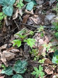 | Actaea pachypoda Elliott | 1898 | Ernest Charles Smith | |
 | Antennaria howellii subsp. canadensis (Greene) R.J.Bayer | 1898 | Williams, E.F. | |
 | Antennaria parlinii subsp. fallax (Greene) R.J.Bayer & Stebbins | 1898 | not recorded | |
 | Antennaria plantaginifolia (L.) Hook. | 1898 | not recorded | |
 | Aquilegia canadensis L. | 1898 | M. I. Gunn | Natick |
 | Agaricus brunnescens Peck | 1900 | Morris, G. E. | Waltham |
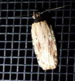 | Agonopterix atrodorsella Clemens, 1863 | 1900 | E. J. Smith | Sherborn |
 | Apantesis Walker, 1855 | 1900 | E. J. Smith | Sherborn |
 | Apatelodes torrefacta J.E.Smith, 1797 | 1900 | E. J. Smith | Sherborn |
| Araiospora pulchra Thaxt. | 1900 | Thaxter, Roland | Stony Brook, Mass. [Massachusetts] | |
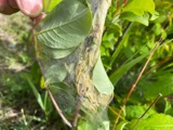 | Archips cerasivorana (Fitch, 1856) | 1900 | E. J. Smith | Sherborn |
All 1,455 specimens within 10 miles, at the Global Biodiversity Information Facility.
Mines and quarries near this place
10 within 5 milesRegional context, not property-specific evidence. The federal mineral resources record lists 10 workings within 5 miles of Saxonville: 7 past producers, 1 plant, 1 producer, 1 unknown. 2 still produce. What was taken out: Sand and Gravel, Construction, Iron, Peat. Distance is straight-line from the map coordinates, so a quarry counted here may appear on a neighbouring settlement's page as well.
| Where | Site | Commodity | Status | Recorded |
|---|---|---|---|---|
| Hawkridge Bros--Ashland, Ma. | Iron | Plant | ||
| Panlini Loam Co | Peat | Past Producer | Peat | |
| Arthur Scofield Pit | Sand and Gravel, Construction | Past Producer | ||
| Framington Pit | Sand and Gravel, Construction | Past Producer | ||
| Hi-Way Pit and Mill | Sand and Gravel, Construction | Producer | ||
| New England Sand & Grv Co. Pit & Pl | Sand and Gravel, Construction | Past Producer | ||
| Sand & Gravel Pit | Sand and Gravel, Construction | Unknown | ||
| Stonebridge Pit | Sand and Gravel, Construction | Past Producer | ||
| Town of Natick | Sand and Gravel, Construction | Past Producer | Sedimentary | |
| Town of Wayland | Sand and Gravel, Construction | Past Producer | Sedimentary |
Storms near this place
14 since 2007Regional context, not property-specific evidence. The National Weather Service names Saxonville in 14 storm reports between 2007 and 2023: 5 thunderstorm wind, 4 hail, 2 flood, 2 flash flood. No death or injury is recorded in these reports. Each account below is quoted exactly as the forecast office filed it, from the NOAA Storm Events Database, and each date opens the federal record of that event.
| When | Event | Place named | Harm | What the report says |
|---|---|---|---|---|
| August 2014 | Flash Flood | Saxonville | $30,000 | Two to four inches of rain fell in less than an hour in Framingham. This rendered several streets flooded and impassable, including Route 9 westbound near Oakcrest Drive, portions of Concord, A, and School Street, Queens Way. Several cars became stuck in flood waters, in some cases trapping their occupants temporarily. |
| July 2016 | Thunderstorm Wind | Saxonville | $25,000 | Multiple trees along Route 9 were downed by thunderstorm winds. |
| April 2007 | Flood | Saxonville | $25,000 | Minor to moderate flooding affected many rivers in Middlesex County. The Shawsheen River at Wilmington crested at 7.8 feet at 1 am on the 17th (flood stage is 7 feet). The Assabet River at Maynard crested at 6.3 feet at 1030 am on the 17th (flood stage is 5 feet), and the Sudbury River at Saxonville crested at 11 feet at 815 pm on the 17th (flood stage is 10 feet). Moderate flooding occurred along the Nashua River through East Pepperell, where the river crested at 13.1 feet at 530 am on the 18th (flood stage is 8 feet). |
| July 2016 | Thunderstorm Wind | Saxonville | $15,000 | Trees and wires on Pine Lane were downed by thunderstorm winds. |
| July 2016 | Thunderstorm Wind | Saxonville | $15,000 | Trees at the intersection of Route 9 and Temple Street and branches on Gates Road were downed onto power lines by thunderstorm winds. |
| August 2008 | Lightning | Saxonville | $15,000 | Lightning struck a house on Edmonds Road causing a fire. |
| June 2013 | Thunderstorm Wind | Saxonville | $10,000 | A tree on Edgell Road was downed by thunderstorm winds onto a truck. |
| July 2023 | Thunderstorm Wind | Saxonville | $1,000 | In Framingham, several trees were down on wires. |
| July 2019 | Flood | Saxonville | - | Route 30 (Cochituate Road) was flooded and impassable in Framingham. |
| June 2013 | Flash Flood | Saxonville | - | Route 9 was closed at the the Route 126 underpass due to flooding. |
| June 2013 | Hail | Saxonville | - | no account filed |
| July 2012 | Hail | Saxonville | - | no account filed |
| July 2012 | Hail | Saxonville | - | no account filed |
| July 2009 | Hail | Saxonville | - | no account filed |
Nearest settlements
The eight closest, with where each one stands in the county. Distances are straight-line, computed from the Geographic Names Information System coordinates.
| Map | Place | Distance | Sheets |
|---|---|---|---|
| Cochituate | 1.9 miles | 46 | |
| Nobscot | 2.0 miles | 40 | |
| East Sudbury Station | 2.3 miles | 40 | |
| Lokerville | 2.6 miles | 40 | |
| South Sudbury | 2.6 miles | 40 | |
| Lake Forest Park | 2.7 miles | 46 | |
| North Natick | 2.8 miles | 46 | |
| Framingham Center | 2.8 miles | 40 |
Provenance
This settlement is recorded in the Geographic Names Information System as feature 611580. The sheet list is computed by point-in-boundary test against the United States Geological Survey's historical topographic inventory. Both are works of the United States government and carry no copyright under 17 U.S.C. 105.
Wildfire. Short, Karen C. 2022. Spatial wildfire occurrence data for the United States, 1992-2020 [FPA_FOD_20221014]. 6th Edition. Fort Collins, CO: Forest Service Research Data Archive. https://doi.org/10.2737/RDS-2013-0009.6 Collected with United States Government funding and usable without additional permissions or fees.
Specimens. Global Biodiversity Information Facility (GBIF), https://www.gbif.org/. Only records licensed CC0 or CC BY are used. Records licensed CC BY-NC are excluded because this site carries advertising. Images are checked individually and any whose licence is non-commercial, no-derivatives or unreadable is refused.
Mines and quarries. USGS Mineral Resources Data System (MRDS) https://mrdata.usgs.gov/mrds/ A work of the United States government, no copyright under 17 U.S.C. 105.
Storms. NOAA National Centers for Environmental Information, Storm Events Database https://www.ncei.noaa.gov/stormevents/ A work of the United States government, no copyright under 17 U.S.C. 105. Narratives are quoted verbatim from the National Weather Service report and are not edited or summarised.