 Block
Block
Scott, Ohio
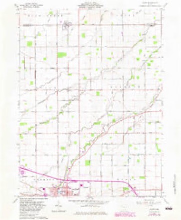
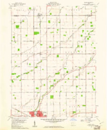
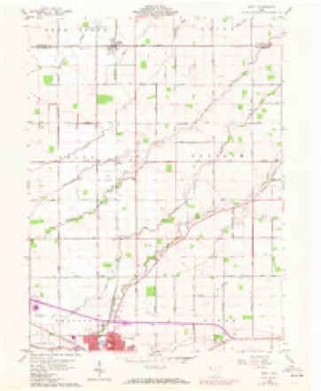
15 topographic sheets cover this place, the earliest surveyed in 1914 and the latest in 1986. It stands in Union Township. It lies in ZIP code area 45886. The Survey maps it on the Scott quadrangle. 242 people lived here at the 2020 count. It stands 735 feet above sea level.
Population over time
2 figuresScott fell from 286 to 242 between 2010 and 2020. These are the recorded population figures Wikidata holds for this place, reached through the Geographic Names Information System number this page is keyed on rather than by name, so they belong to this place and not to another of the same name. Most are census counts, but not all are: an early figure may be a founding or settlement estimate. The change column is computed, and is left blank where more than 20 years separate a figure from the one before it, because a gap that long is not a change between two counts.
| Year | People | Change |
|---|---|---|
| 2010 | 286 | |
| 2020 | 242 | -44 (-15%) |
Then and now
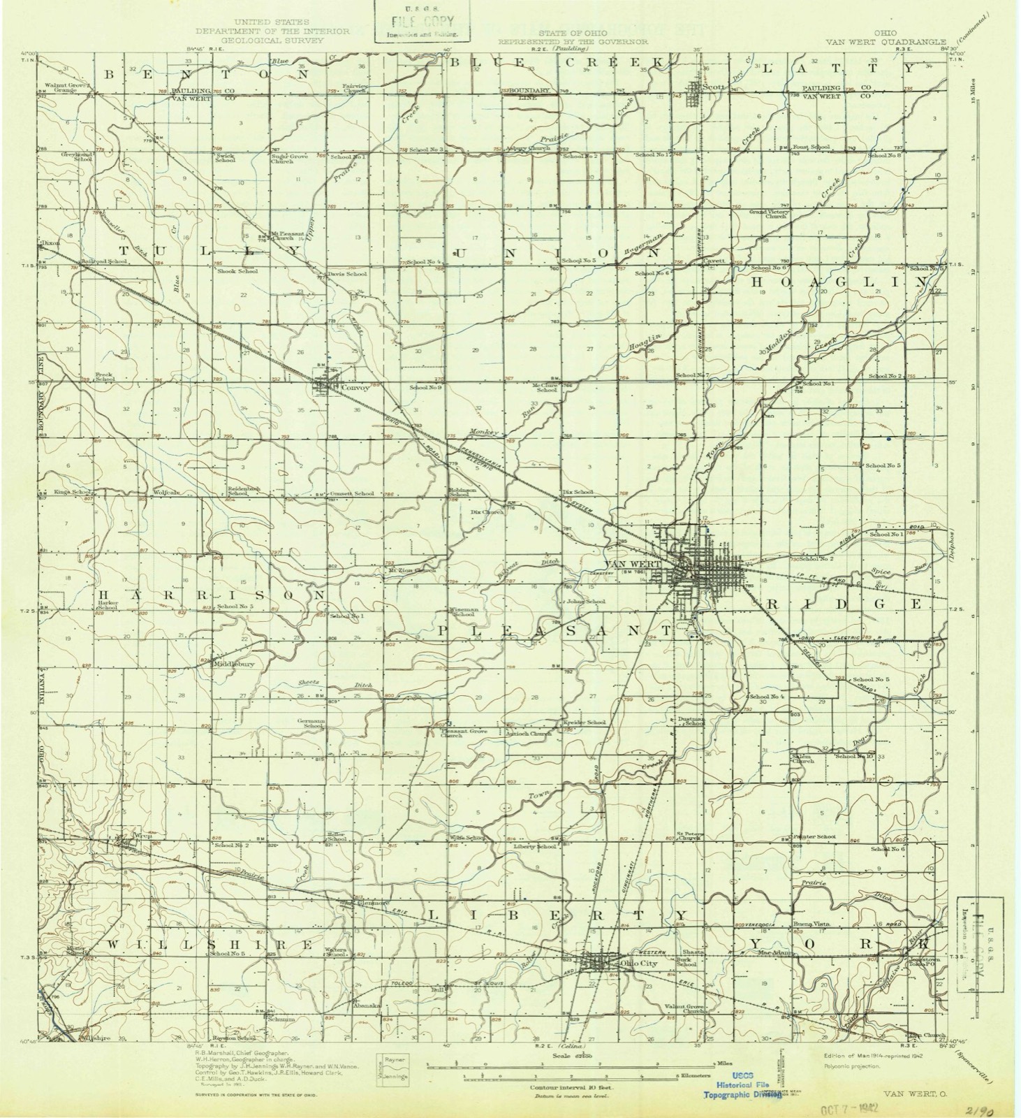
1914 to 1986The same ground, surveyed 72 years apart. Drag the handle to wipe between them. Both sheets are United States Geological Survey originals; neither has been altered.

Compare 1914 against another survey:
Topographic sheets covering this place
15 sheetsMatched by testing this settlement's coordinate against the published boundary of every sheet in the United States Geological Survey's historical collection. Each opens the scanned sheet at the Survey.
- 1914 USGS Van Wert quadrangle1:62500
- 1944 USGS Van Wert quadrangle1:62500
- 1953 USGS Muncie quadrangle1:250000
- 1953 USGS Muncie quadrangle1:250000
- 1953 USGS Muncie quadrangle1:250000
- 1953 USGS Muncie quadrangle1:250000
- 1953 USGS Muncie quadrangle1:250000
- 1956 USGS Muncie quadrangle1:250000
- 1960 USGS Scott quadrangle1:24000
- 1960 USGS Scott quadrangle1:24000
- 1960 USGS Scott quadrangle1:24000
- 1960 USGS Scott quadrangle1:24000
- 1986 USGS Lima quadrangle1:100000
- 1986 USGS Lima quadrangle1:100000
- 1986 USGS Lima quadrangle1:100000









Specimens collected nearby
12 of 100 shownMuseums hold 100 specimens collected within 10 miles of Scott between 1893 and 1965: 95 Animalia, 4 Fungi, 1 Chromista. 12 distinct Species records are shown. Collected by Adler, K. K., Bonnewitz L. R.; Stevenson J. A., Bonnewitz Lee R. and others. Each is a physical object with a catalogue number, and each entry opens the museum's record. This is what was collected and kept, not a survey of what lives here - nothing can be concluded from a species being absent.
| Image | Species | Year | Collected by | Where, as recorded |
|---|---|---|---|---|
 | Carpiodes cyprinus (Lesueur, 1817) | 1893 | P. Kirsch | Hoaglin Creek, Oakwood, Ohio |
 | Hybopsis amblops (Rafinesque, 1820) | 1893 | P. Kirsch | Hoaglin Creek, Oakwood, Ohio |
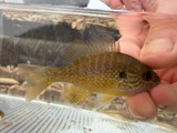 | Lepomis megalotis (Rafinesque, 1820) | 1893 | P. Kirsch | Hoaglin Creek, Oakwood, Ohio |
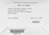 | Albugo platensis (Speg.) Swingle | 1921 | Stevenson, John A. | Van Wert |
| Cladosporium paeoniae Pass. | 1921 | Stevenson John A. | Van Wert | |
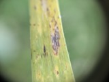 | Puccinia iridis Wallr. | 1921 | Stevenson J. A. | Van Wert |
 | Charadrius vociferus vociferus Linnaeus, 1758 | 1922 | Price, H. (Homer) | Van Wert, Ohio, USA |
 | Dendrocopos pubescens (Linnaeus, 1766) | 1922 | Price, H. (Homer) | near Paulding Co line, Blue Creek Banks, Van Wert, Ohio, USA |
 | Cathartes aura (Linnaeus, 1758) | 1924 | H. T. Price | Rodney Graham Woods |
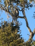 | Bubo virginianus (J.F.Gmelin, 1788) | 1926 | Price, H. (Homer) | Van Wert, Ohio, USA |
 | Accipiter cooperii (Bonaparte, 1828) | 1929 | Price, H. (Homer) | Convoy, Van Wert, Ohio, USA |
 | Cyprinus carpio Linnaeus, 1758 | 1929 | Trautman, M. B. (Milton Bernard) | Maddox Creek, within Pleasant township, near Van Wert, Pleasant township |
All 100 specimens within 10 miles, at the Global Biodiversity Information Facility.
Mines and quarries nearby
1 within 5 milesThe federal mineral resources record lists 1 working within 5 miles of Scott: 1 plant. All of them still produce. What was taken out: Magnesite. Distance is straight-line from the map coordinates, so a quarry counted here may appear on a neighbouring settlement's page as well.
| Where | Site | Commodity | Status | Recorded |
|---|---|---|---|---|
| Scott Plant 0 | Magnesite | Plant |
Storms nearby
13 since 1998The National Weather Service names Scott in 13 storm reports between 1998 and 2012: 7 thunderstorm wind, 3 tornado, 3 hail. No death or injury is recorded in these reports. Each account below is quoted exactly as the forecast office filed it, from the NOAA Storm Events Database, and each date opens the federal record of that event.
| When | Event | Place named | Harm | What the report says |
|---|---|---|---|---|
| May 1998 | Tornado (F0) | Scott | $10,000 | OLD BARN SUSTAINED MODERATE STRUCTURAL DAMAGE. GARAGE SUFFERED MINOR DAMAGE. |
| June 1998 | Tornado (F0) | Scott | $4,000 | Emergency management reported F0 damage from a tornado south of Scott. The tornado was on the ground for one half mile, touching down 4 miles south of Scott and lifting 4 and one half miles south southeast of Scott. F0 damage was to a barn and trees. The tornado was about 25 yards wide at its widest point. |
| November 2011 | Thunderstorm Wind | Scott | $1,000 | Emergency management officials reported roof damage to a large pole barn, with a few trees down on Elm Sugar Road, between Dutch John and John Brown Roads. Damage is estimated at around $1,000. |
| June 2012 | Thunderstorm Wind | Scott | - | A mesonet site recorded a 87 mph wind gust. The data from the site indicated the gusts continued for at least 5 minutes. |
| June 2010 | Thunderstorm Wind | Scott | - | Emergency management officials reported a large tree down blocking road. |
| October 2010 | Tornado (EF1) | Scott | - | A survey of storm damage revealed a circulation touched down on John Brown Road, about one half mile south of the Van Wert-Paulding county line. Shortly after touchdown the tornado destroyed a small grain bin at a local farm. The tornado continued northeast across open fields where it crossed the county line east of John Brown Road. While the rating of the entire tornado track is consistent with an EF1, the damage in Van Wert County is consistent with winds of around 80 mph, an EF0. |
| September 2002 | Thunderstorm Wind | Scott | - | Tree and power lines were blown down in Scott and Van Wert. |
| August 2000 | Thunderstorm Wind | Scott | - | Trees down. |
| June 2009 | Hail | Scott | - | no account filed |
| May 2004 | Hail | Scott | - | no account filed |
| May 1998 | Hail | Scott | - | no account filed |
| August 1998 | Thunderstorm Wind | Scott | - | no account filed |
| June 1998 | Thunderstorm Wind | Scott | - | no account filed |
Nearest settlements
The eight closest, with where each one stands in the county. Distances are straight-line, computed from the Geographic Names Information System coordinates.
| Map | Place | Distance | Sheets |
|---|---|---|---|
| Cavett | 3.0 miles | 15 | |
| Hoaglin | 5.6 miles | 14 | |
| Richey | 7.4 miles | 14 | |
| Briarwood Court | 7.9 miles | 15 | |
| Convoy | 8.1 miles | 14 | |
| Van Wert | 8.3 miles | 14 | |
| Wetzel | 8.3 miles | 14 | |
| Seamersville | 9.7 miles | 14 |
Elsewhere
Matched on this settlement's Geographic Names Information System number rather than its name, so it cannot be a different place of the same name in another state.
| Wikipedia article on Scott | An encyclopaedic summary. Its text is share-alike, so it is linked here rather than copied. |
| Wikidata item Q2673122 | The structured record the population and elevation above come from. Public domain (CC0). |
Provenance
This settlement is recorded in the Geographic Names Information System as feature 1046050. The sheet list is computed by point-in-boundary test against the United States Geological Survey's historical topographic inventory. Both are works of the United States government and carry no copyright under 17 U.S.C. 105.
Specimens. Global Biodiversity Information Facility (GBIF), https://www.gbif.org/. Only records licensed CC0 or CC BY are used. Records licensed CC BY-NC are excluded because this site carries advertising. Images are checked individually and any whose licence is non-commercial, no-derivatives or unreadable is refused.
Mines and quarries. USGS Mineral Resources Data System (MRDS) https://mrdata.usgs.gov/mrds/ A work of the United States government, no copyright under 17 U.S.C. 105.
Storms. NOAA National Centers for Environmental Information, Storm Events Database https://www.ncei.noaa.gov/stormevents/ A work of the United States government, no copyright under 17 U.S.C. 105. Narratives are quoted verbatim from the National Weather Service report and are not edited or summarised.