BlockBefore
Decorative drawing: a county panorama. Not a photograph of this place.

Van Wert County, Ohio

46 topographic sheets and 8 fire insurance atlases across 1 place.

Research this county

This curated hub for Van Wert County, Ohio brings together the page's documented record links, visible map or image evidence where published, and routes to related local records.

What is documented here?

Use the page's provenance and linked records to distinguish the source material from the site's navigation and summaries.

How should I cite it?

Open the original record, preserve its repository and identifier, then use the citation tool for this page as a path back to the source.

Where should I go next?

Follow the county or state hub for related places and records, then use the guide for a source-aware research sequence.

From the record

7 National Register listings · 21 businesses named in the fire insurance atlases from 1890 to 1914 · the 1858 county history tells 0 stories and names 13 people · people the book names include John Murphy & Co Carpet Bags (Washington Township, 1858) (machine-read).

Sources: the county history on the Internet Archive · the National Register database, National Park Service

Ohio within the United States
Van Wert County within Ohio
Explore by year 1853 1914

What the record shows

  • 1 place in this county was surveyed for fire insurance: Van Wert, between 1884 and 1948.
  • 8 fire insurance atlas(es) survive for the county. Topographic coverage is national; fire insurance survey reached only incorporated places with something worth insuring.
  • 393 topographic sheet readings cover the county's settlements.
  • 7 properties here are on the National Register of Historic Places, including 3 houses and farms.
  • 2 of the 7 listings were added during the 1970s.
  • The Geographic Names Information System records 29 populated places in this county; 0 are covered by at least one topographic sheet.
  • 2 public-domain county histories, 1858 and 1890, supply 178,675 words of narrative reproduced here in full.

Photographs

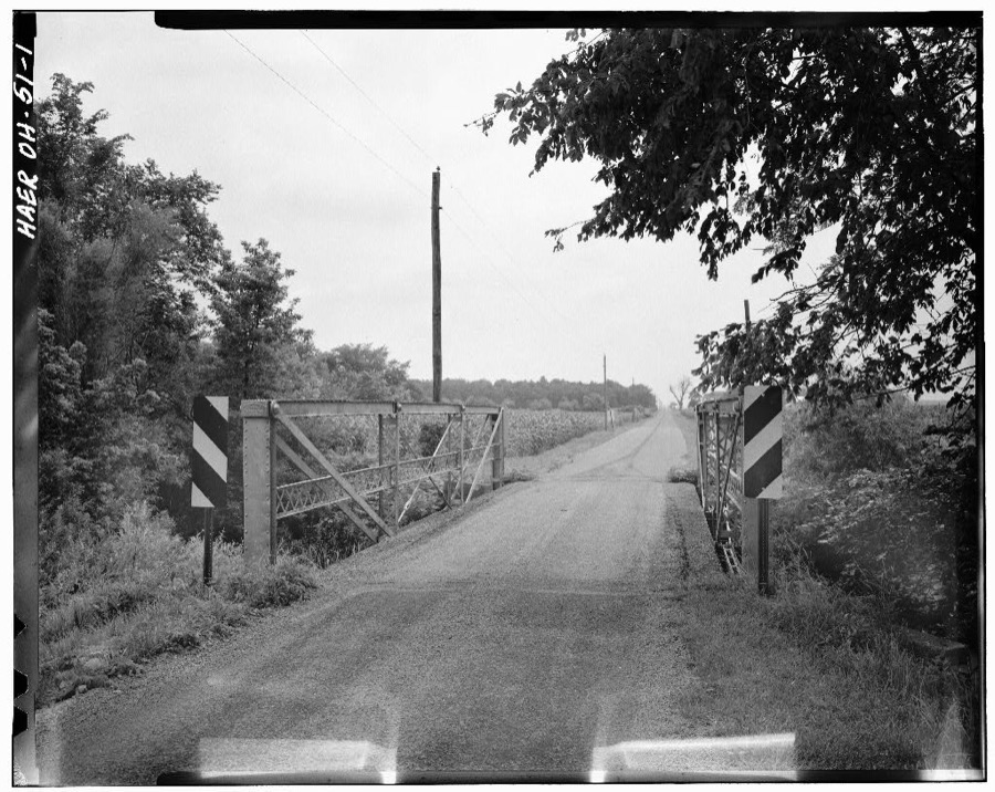
1 photograph,

Taken for the Office of War Information and the Farm Security Administration, who photographed the country between 1935 and 1944. Works of United States government photographers, with no known restriction on use. Each opens its catalogue record.

Town Creek Truss-leg Bedstead Bridge, Spanning Town Creek at County Route 82, Van Wert, Van Wert County, OH
Unattributed, . Library of Congress

Places on the National Register

7

Every property in this county listed on the National Register of Historic Places, with the year it was listed and the federal nomination document.

Photograph PropertyType ListedReference
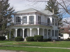
Bredeick-Lang Housebuilding198282003663
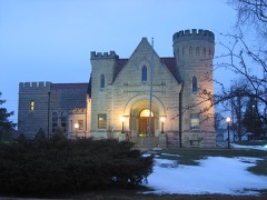
Brumback Librarybuilding197979001973
Convoy Opera House-City Hall-Firehouse Buildingbuilding2021100006162
Kauke and McCurdy Blockbuilding2021100006140
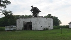
Round Barnbuilding198080003240
Van Wert Bandstandstructure198282001493
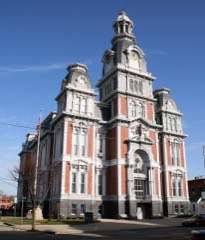
Van Wert County Courthousebuilding197474001639

Covered bridges

0

Van Wert County holds 0 covered bridges on the National Register, more than any other property type here. Each is a listed structure with a federal nomination on file.

Bird's-eye views and land ownership maps

1

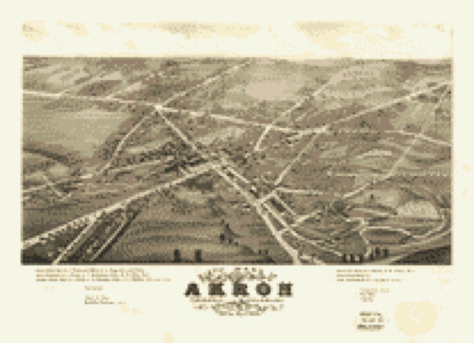
Drawn when these were printed as single large sheets: the town seen from the air, and the county divided into its farms with every owner named. Each opens the original at the Library of Congress.

Bird's-eye view, 1882 - Sixth ward of Akron, formerly Middlebury, Summit Co., Ohio 1882
Bird's-eye view (1882) - Sixth ward of Akron, formerly Middlebury, Summit Co., Ohio 1882. Library of Congress.

The county from the air

32 of 416 shown

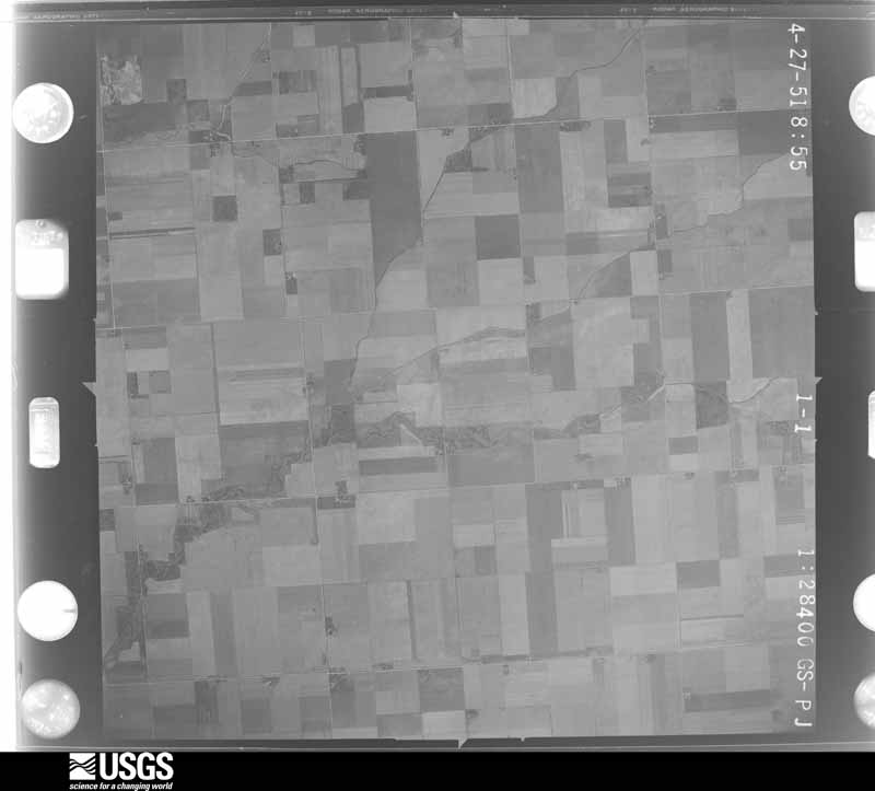
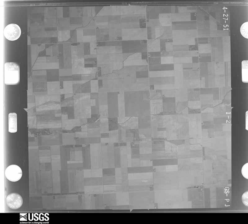
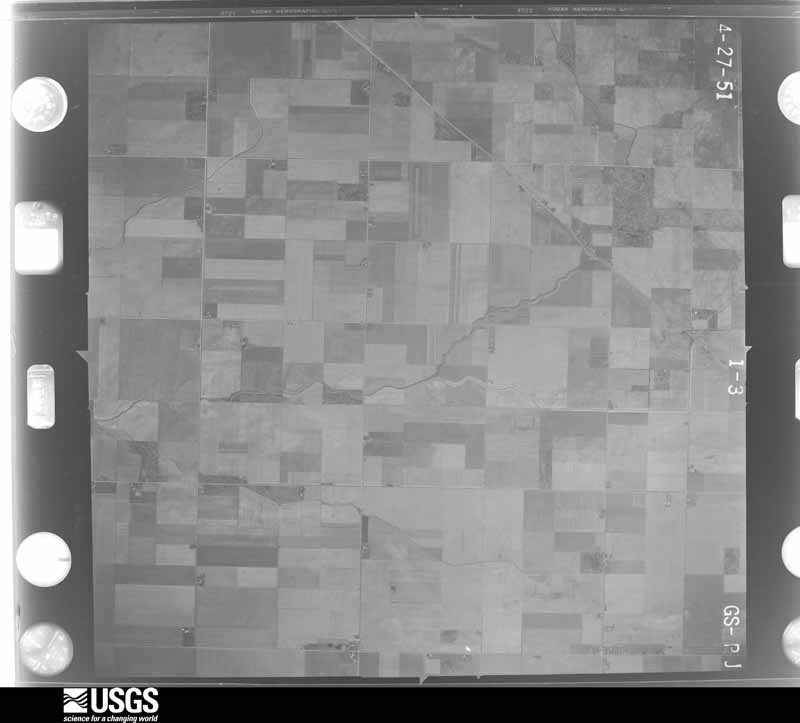
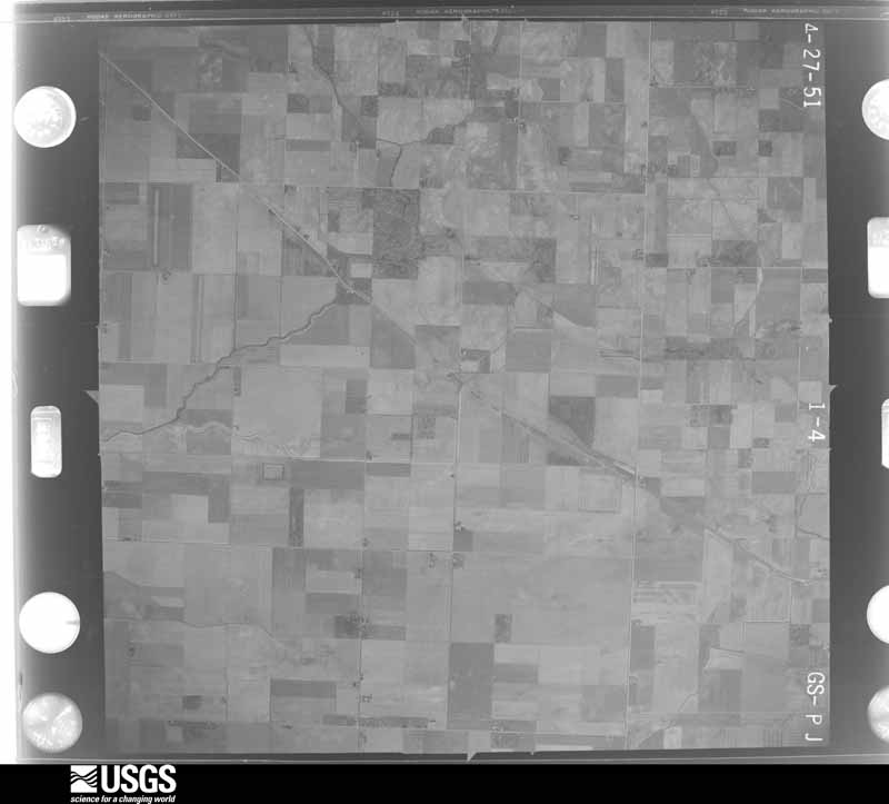
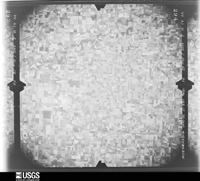
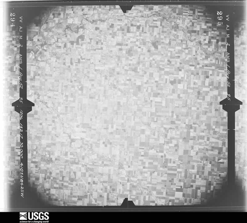
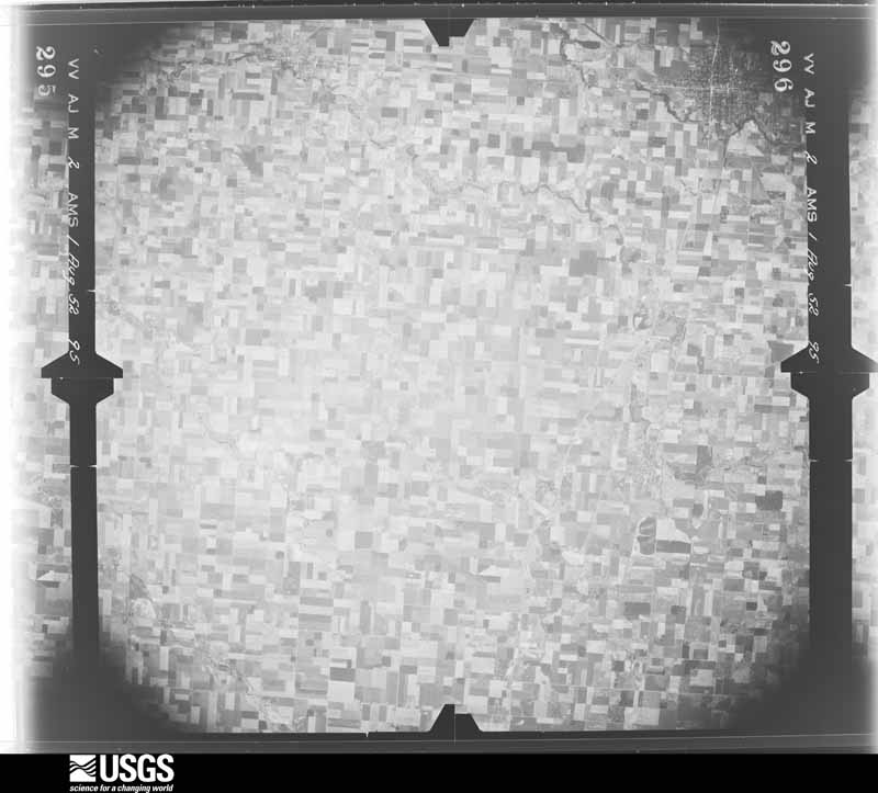
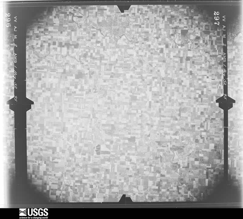
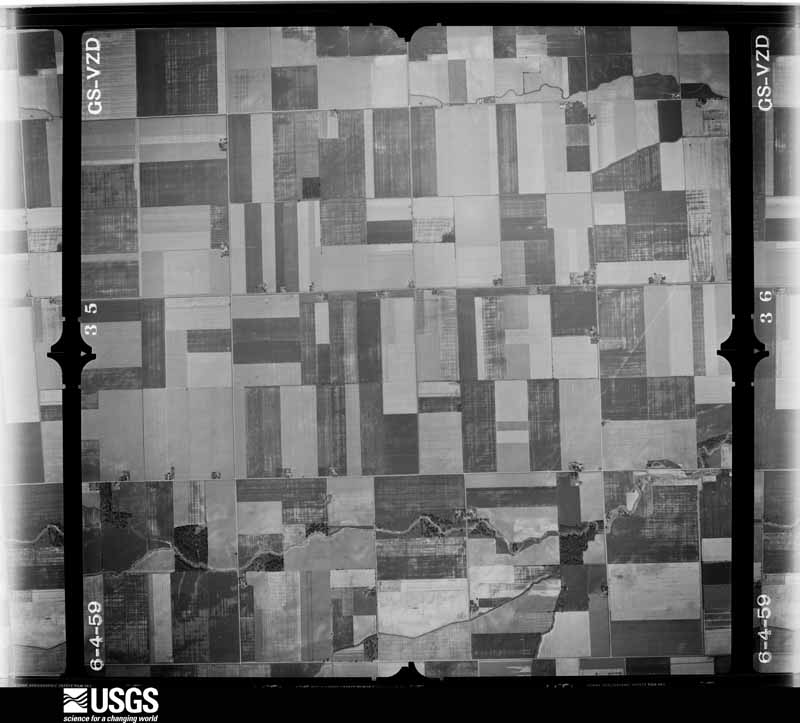
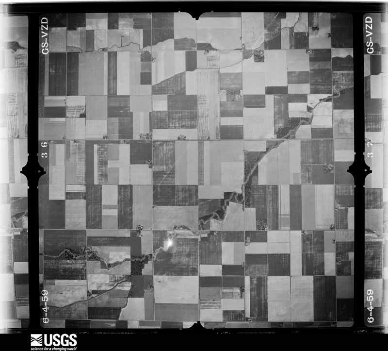
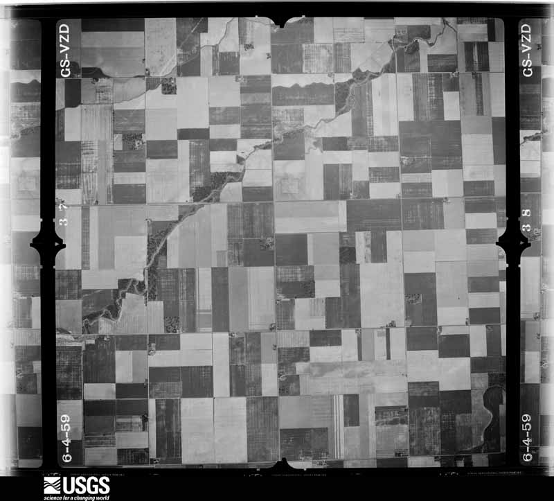
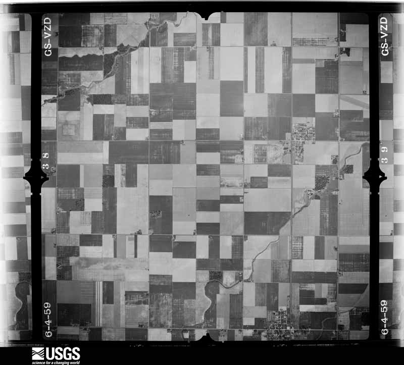
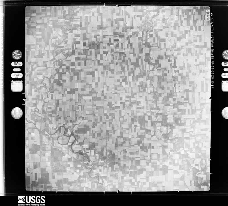
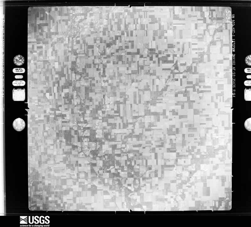
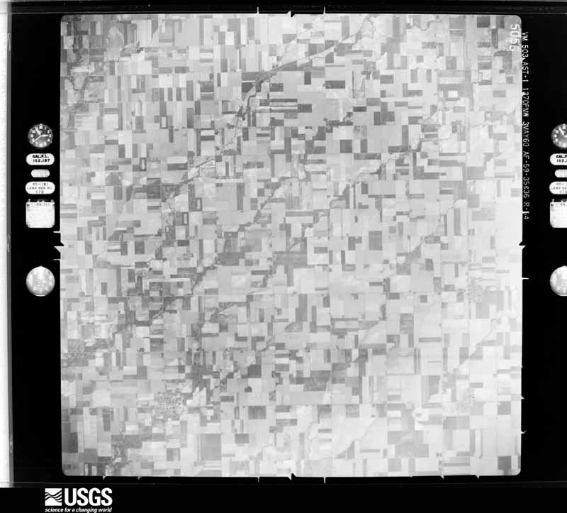
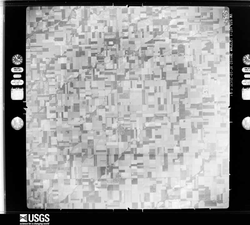
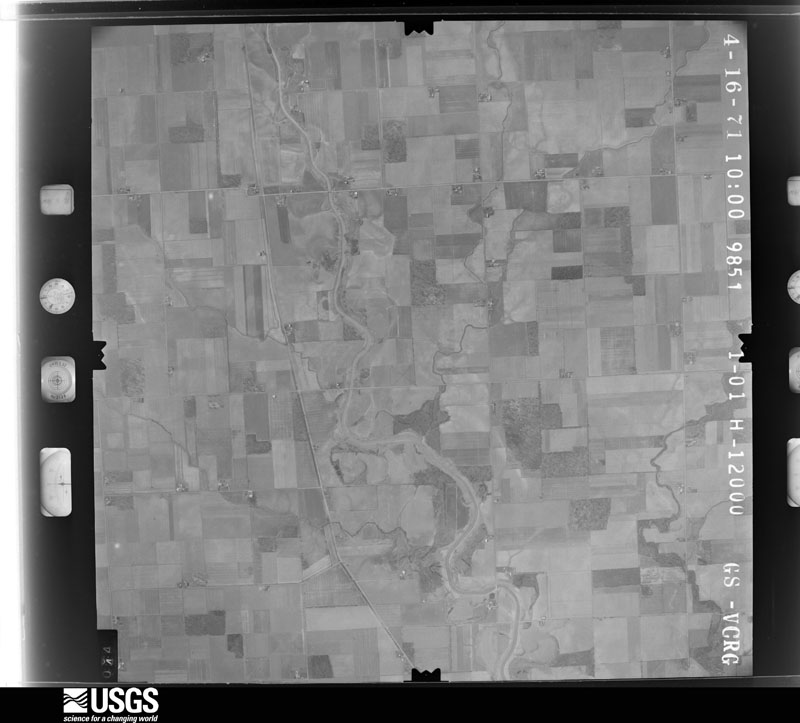
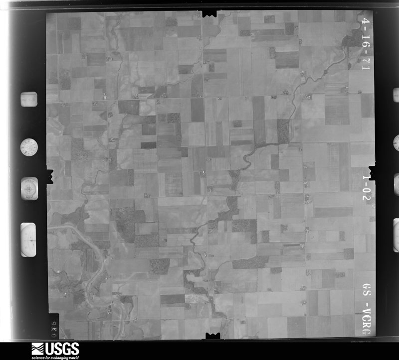
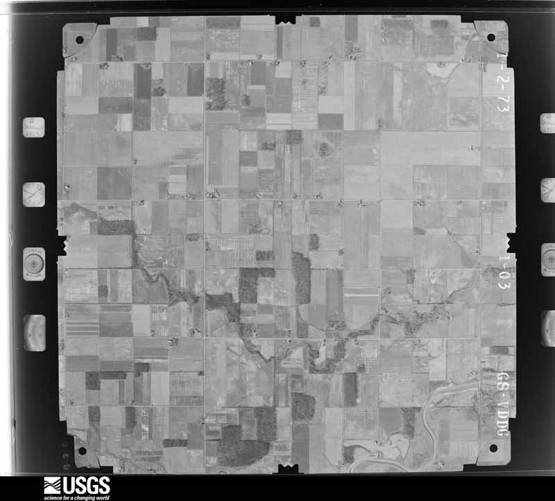
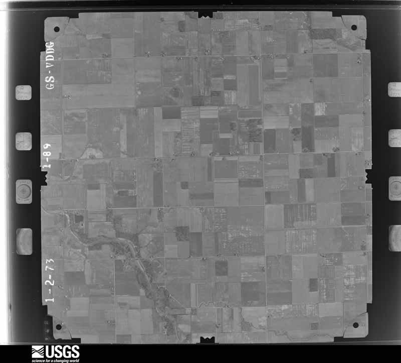
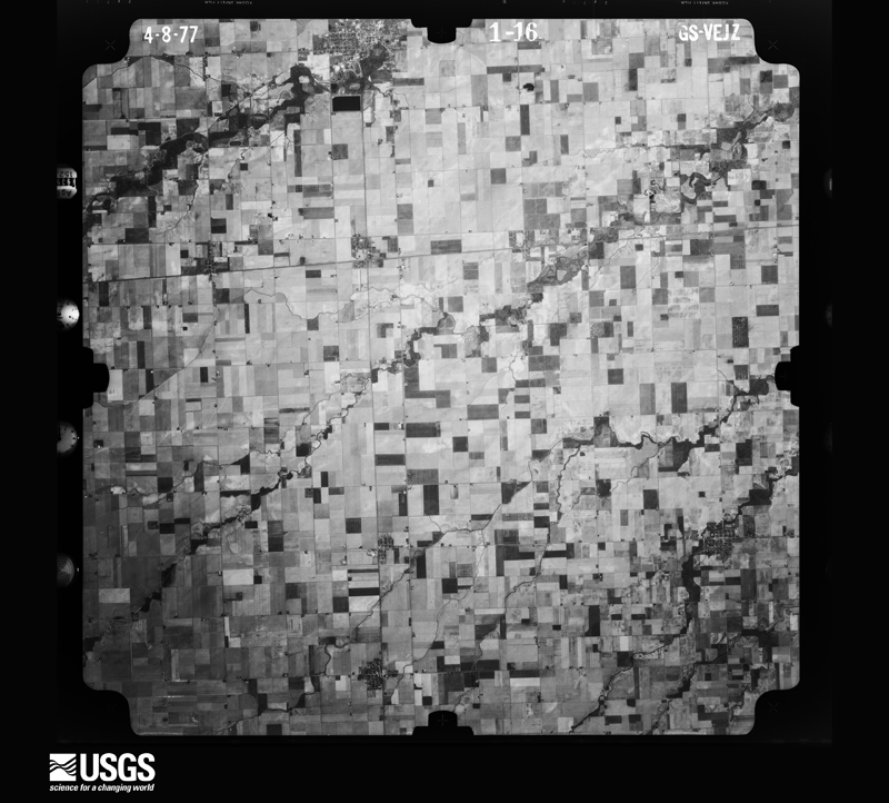
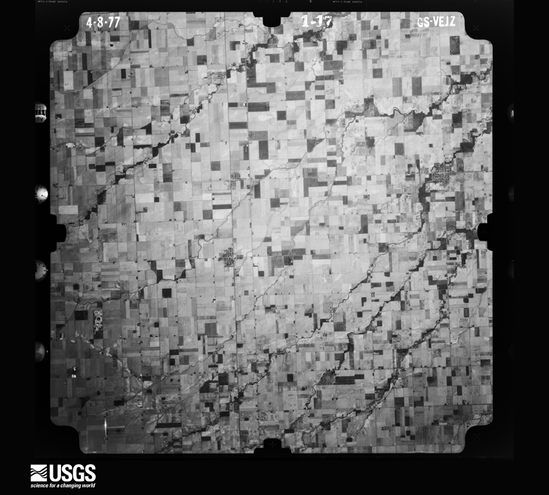
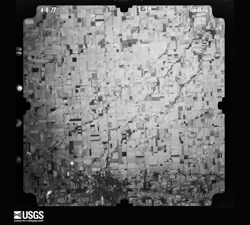
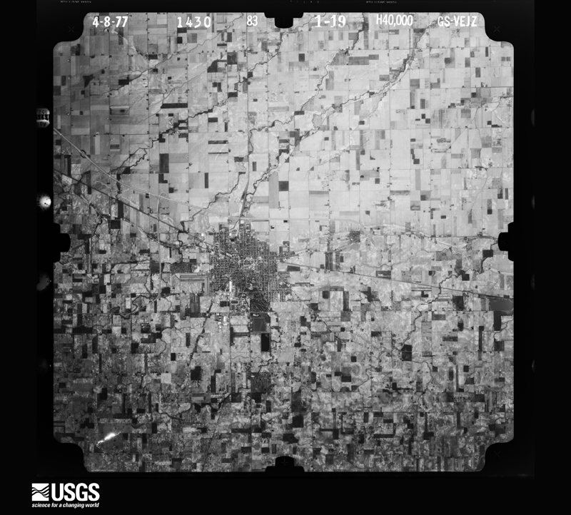
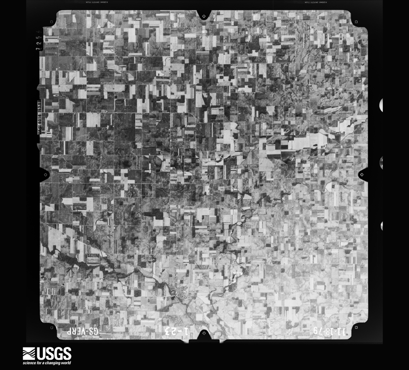
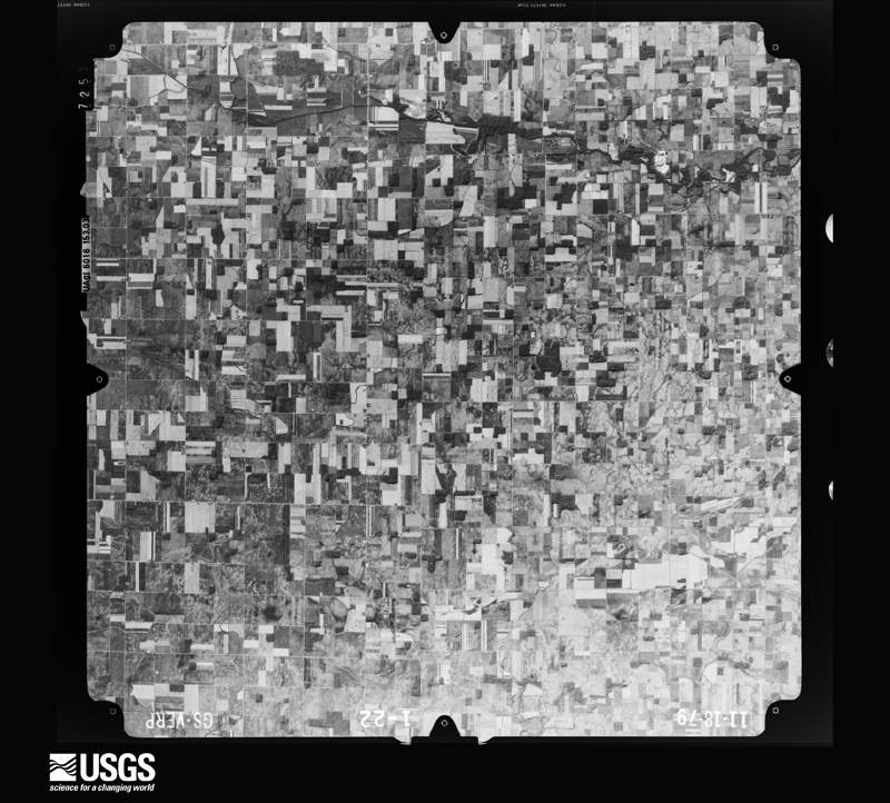
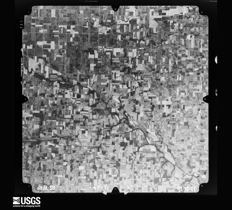
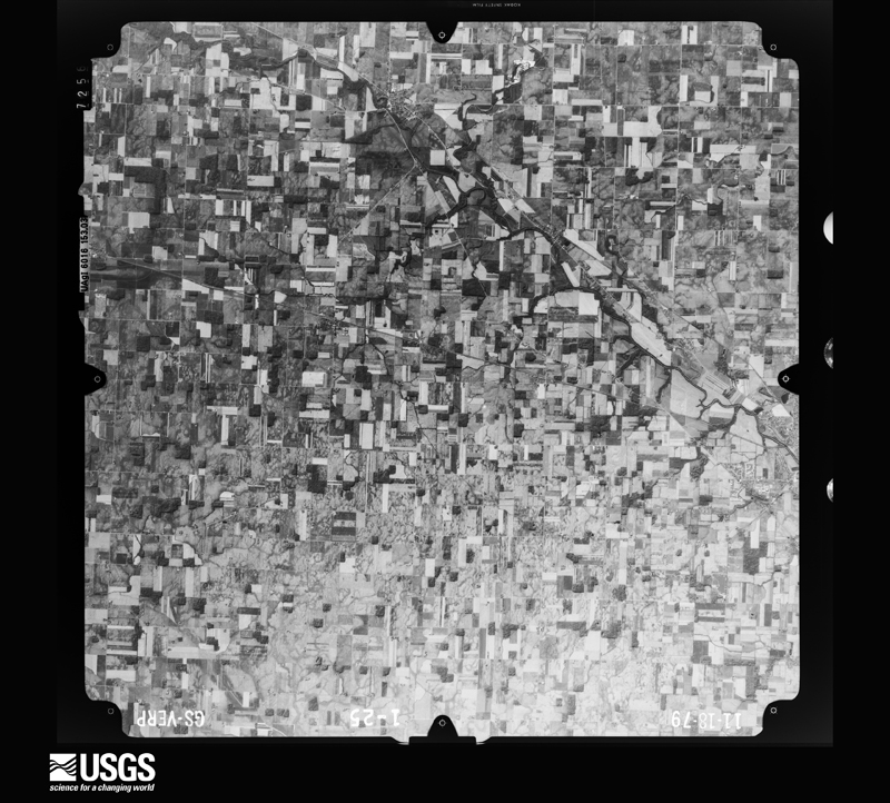
Flown by the U.S. Geological Survey between 1937 and 1989, the Aerial Photo Single Frames collection is the definitive mid-century view of the land: fields, roads and rivers as the camera saw them. 416 frames touch this county; the selection below spreads across the decades of flights (at most four per year), so one flight cannot crowd out the rest. The full set is free to browse and download at EarthExplorer under the dataset Aerial Photo Single Frames.

U.S. Geological Survey aerial photograph, 1951-04-27, scale 1:28400
1951-04-27, scale 1:28400. U.S. Geological Survey aerial photograph.
U.S. Geological Survey aerial photograph, 1951-04-27, scale 1:28400
1951-04-27, scale 1:28400. U.S. Geological Survey aerial photograph.
U.S. Geological Survey aerial photograph, 1951-04-27, scale 1:28400
1951-04-27, scale 1:28400. U.S. Geological Survey aerial photograph.
U.S. Geological Survey aerial photograph, 1951-04-27, scale 1:28400
1951-04-27, scale 1:28400. U.S. Geological Survey aerial photograph.
U.S. Geological Survey aerial photograph, 1952-08-01, scale 1:69000
1952-08-01, scale 1:69000. U.S. Geological Survey aerial photograph.
U.S. Geological Survey aerial photograph, 1952-08-01, scale 1:69000
1952-08-01, scale 1:69000. U.S. Geological Survey aerial photograph.
U.S. Geological Survey aerial photograph, 1952-08-01, scale 1:69000
1952-08-01, scale 1:69000. U.S. Geological Survey aerial photograph.
U.S. Geological Survey aerial photograph, 1952-08-01, scale 1:69000
1952-08-01, scale 1:69000. U.S. Geological Survey aerial photograph.
U.S. Geological Survey aerial photograph, 1959-06-04, scale 1:24000
1959-06-04, scale 1:24000. U.S. Geological Survey aerial photograph.
U.S. Geological Survey aerial photograph, 1959-06-04, scale 1:24000
1959-06-04, scale 1:24000. U.S. Geological Survey aerial photograph.
U.S. Geological Survey aerial photograph, 1959-06-04, scale 1:24000
1959-06-04, scale 1:24000. U.S. Geological Survey aerial photograph.
U.S. Geological Survey aerial photograph, 1959-06-04, scale 1:24000
1959-06-04, scale 1:24000. U.S. Geological Survey aerial photograph.
U.S. Geological Survey aerial photograph, 1960-05-03, scale 1:60000
1960-05-03, scale 1:60000. U.S. Geological Survey aerial photograph.
U.S. Geological Survey aerial photograph, 1960-05-03, scale 1:60000
1960-05-03, scale 1:60000. U.S. Geological Survey aerial photograph.
U.S. Geological Survey aerial photograph, 1960-05-03, scale 1:60000
1960-05-03, scale 1:60000. U.S. Geological Survey aerial photograph.
U.S. Geological Survey aerial photograph, 1960-05-03, scale 1:60000
1960-05-03, scale 1:60000. U.S. Geological Survey aerial photograph.
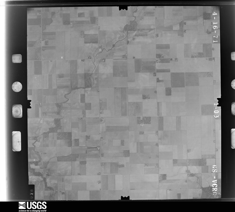
U.S. Geological Survey aerial photograph, 1971-04-16, scale 1:24000
1971-04-16, scale 1:24000. U.S. Geological Survey aerial photograph.
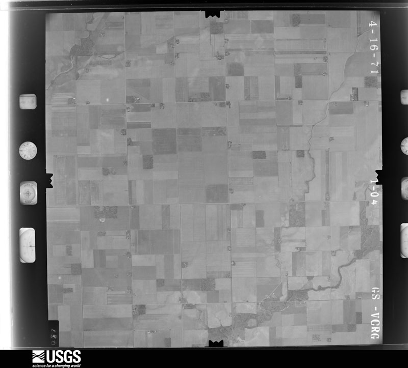
U.S. Geological Survey aerial photograph, 1971-04-16, scale 1:24000
1971-04-16, scale 1:24000. U.S. Geological Survey aerial photograph.
U.S. Geological Survey aerial photograph, 1971-04-16, scale 1:24000
1971-04-16, scale 1:24000. U.S. Geological Survey aerial photograph.
U.S. Geological Survey aerial photograph, 1971-04-16, scale 1:24000
1971-04-16, scale 1:24000. U.S. Geological Survey aerial photograph.
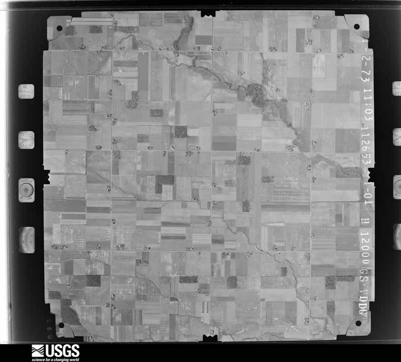
U.S. Geological Survey aerial photograph, 1973-01-02, scale 1:24000
1973-01-02, scale 1:24000. U.S. Geological Survey aerial photograph.
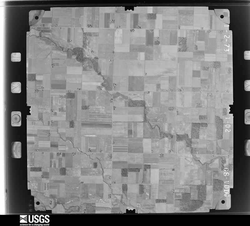
U.S. Geological Survey aerial photograph, 1973-01-02, scale 1:24000
1973-01-02, scale 1:24000. U.S. Geological Survey aerial photograph.
U.S. Geological Survey aerial photograph, 1973-01-02, scale 1:24000
1973-01-02, scale 1:24000. U.S. Geological Survey aerial photograph.
U.S. Geological Survey aerial photograph, 1973-01-02, scale 1:24000
1973-01-02, scale 1:24000. U.S. Geological Survey aerial photograph.
U.S. Geological Survey aerial photograph, 1977-04-01, scale 1:80000
1977-04-01, scale 1:80000. U.S. Geological Survey aerial photograph.
U.S. Geological Survey aerial photograph, 1977-04-01, scale 1:80000
1977-04-01, scale 1:80000. U.S. Geological Survey aerial photograph.
U.S. Geological Survey aerial photograph, 1977-04-01, scale 1:80000
1977-04-01, scale 1:80000. U.S. Geological Survey aerial photograph.
U.S. Geological Survey aerial photograph, 1977-04-01, scale 1:80000
1977-04-01, scale 1:80000. U.S. Geological Survey aerial photograph.
U.S. Geological Survey aerial photograph, 1979-11-01, scale 1:80000
1979-11-01, scale 1:80000. U.S. Geological Survey aerial photograph.
U.S. Geological Survey aerial photograph, 1979-11-01, scale 1:80000
1979-11-01, scale 1:80000. U.S. Geological Survey aerial photograph.
U.S. Geological Survey aerial photograph, 1979-11-01, scale 1:80000
1979-11-01, scale 1:80000. U.S. Geological Survey aerial photograph.
U.S. Geological Survey aerial photograph, 1979-11-01, scale 1:80000
1979-11-01, scale 1:80000. U.S. Geological Survey aerial photograph.

City directories

2 volumes

The "who lived here, by year" answer: pre-1929 public-domain directory volumes naming the county's people, machine-read and searchable as text.

Weather records

4 stations, 18 gages

The thermometers that kept this county's weather, and the gages that watched its rivers, as the federal records hold them. The extremes below are measured values from those records, not estimates.

The 1950 census, district by district

42 districts

Who lived here in 1950, one enumeration district at a time, as the Census Bureau described each district. Each row opens its official National Archives result, with Population Schedules and ED Maps available there.

  • 81-1Harrison township: Harrison township - That part north of the section line from the northeast corner of section 24, Township 2, Range 1 to the northwest corner of section 19, Township 2, Range 1
  • 81-2Harrison township - That part south of the section line from the northeast corner of section 24, Township 2, Range 1 to the northwest corner of section 19, Township 2, Range 1
  • 81-3Hoaglin township
  • 81-4Jackson township
  • 81-5Venedocia village, comprising parts of Jennings and York township: Venedocia village - That part in Jennings township
  • 81-6Venedocia village - That part in York township
  • 81-7Jennings township - That part outside Venedocia village (Remainder of Jennings township is in Venedocia village)
  • 81-8Liberty township: Ohio City village
  • 81-9Liberty township - That part east of State Hwy. 118, outside Ohio City village
  • 81-10Liberty township - That part west of State Hwy. 118, outside Chio City village
  • 81-11Pleasant township: Van Wert city: Van Wert city - That part of Ward 1 Bounded by City limits; City limits; Main; Washington, Sycamore, Franklin, Moneysmith Rd.
  • 81-12Van Wert city - That part of Ward 1 Bounded by City limits; Moneysmith Rd., Franklin; Sycamore; Race, Third, Washington
  • 81-13Van Wert city - That part of Ward 1 Bounded by Third; Race; Sycamore; Washington
  • 81-14Van Wert city - That part of Ward 2 Bounded by City limits; Washington, College Ave., Monroe; Center; Blaine, Bonnewitz Ave.
  • 81-15Van Wert city - That part of Ward 2 Bounded by City limits, Bonnewitz Ave.; Blaine, Center, Wall; Main; City limits
  • 81-16Van Wert city - That part of Ward 2 Bounded by College Ave.; Washington; Main; Wall, Center, Monroe
  • 81-17Van Wert city - That part of Ward 3 Bounded by Main; Washington; Boyd Ave.; Glenn, Gordon Ave., Shannon
  • 81-18Van Wert city - That part of Ward 3 Bounded by Main; Shannon; Leeson Ave., Sibley, Woodland Ave.; City limits
  • 81-19Van Wert city - That part of Ward 3 Bounded by Woodland Ave., Sibley, Leeson Ave.; Shannon; City limits; City limits
  • 81-20Van Wert city - That part of Ward 3 Bounded by Gordon Ave.,Glenn, Boyd Ave.; Washington; City limits; Shannon
  • 81-21Van Wert city - That part of Ward 4 Bounded by Main; City limits; City limits; Race, Spencer, Franklin to
  • 81-22Van Wert city - That part of Ward 4 Bounded by Main; Franklin; Spence;r Race, Frothingham, Harrison
  • 81-23Van Wert city - That part of Ward 4 Bounded by Main; Harrison, Frothingham, Race; City limits; Walnut
  • 81-24Van Wert city - That part of Ward 4 Bounded by Main; Walnut; City limits; Washington
  • 81-25Pleasant township - That part outside Van Wert city
  • 81-26Ridge township
  • 81-27Tully township: Convoy village
  • 81-28Tully township - That part northeast of U.S. Hwy. 30 and east of State Hwy. 49, outside Convoy village
  • 81-29Tully township - That part southwest of U.S. Hwy. 30 and west of State Hwy. 49, outside Convoy village
  • 81-30Union township: Scott village - That part in Van Wert County, comprising part of Union township (Remainder of Scott village is in Blue Creek township, Paulding County)
  • 81-31Union township - That part northwest of Hagerman Creek, outside Scott village
  • 81-32Union township - That part southeast of Hagerman Creek
  • 81-33Washington township: Delphos city - That part in Van Wert County comprising part of Washington township: Delphos city - That part of Ward 3 Bounded by Ward line, W. 3rd.; Miami and Erie Canal; Nickel Plate Railroad; City limits
  • 81-34Delphos city - That part of Ward 3 Bounded by Nickel Plate Railroad; Miami and Erie Canal, City limits; City limits; City limits
  • 81-35Delphos city - That part comprising Ward 4 Bounded by City limits; Miami and Erie Canal; W. 3rd, Ward line; City limits (Remainder of Delphos city is in Marion township, Allen County)
  • 81-36Middlepoint village
  • 81-37Washington township - That part outside Delphos city and Middlepoint village
  • 81-38Willshire township: Willshire village
  • 81-39Wren village
  • 81-40Willshire township - That part outside Willshire and Wren villages
  • 81-41York township, outside Venedocia village: Elgin village
  • 81-42York township - That part outside Elgin and Venedocia villages (Remainder of York township is in Venedocia village)

Businesses named in the atlases

21 businesses

Every Sanborn volume opens with a printed index naming the town's mills, tanneries, hotels and works by proprietor. Those indexes were read off the scanned sheets by machine and then matched to each other, so a business surveyed four times appears here once, with the years it survived. 2 of these 21 were named in more than one atlas. Each carries a crop of the line it was read from: the spelling is the recogniser's and the 1880s lithographer's, and the scan behind it is the proof.

Storms, 1950 to 2025

60 of 354 shown

The NOAA Storm Events Database holds 354 reports for this county, causing 3 deaths, 28 injuries and about $36,788,500 in recorded property damage. Each settlement page carries the reports that name it.

Kind of event Reports
Thunderstorm Wind223
Hail72
Tornado42
Flash Flood10
Flood4
Lightning2
Heavy Rain1

The most serious of them, by death, then injury, then recorded damage. The accounts are quoted exactly as the forecast office filed them.

WhenEvent Place namedHarm What the report says
November 2002Tornado (F4)Willshire2 killed, 17 hurt, $30,000,000This tornado touched down in the southwest corner of Van Wert County about 4 miles northeast of Willshire and moved northeast across the western portion of the city of Van Wert, and then crossed U.S. 30 and continued northeast before exiting the county about 7 miles east of Scott. NWS ground and aerial surveys showed the tornado quickly intensified to F4 about 5 miles southwest of the city of Van Wert near Zook road, where a 75 year old male was killed in his home. The tornado continued moving northeast as an F4 into the city of Van Wert, were it hit the Twin Cinemas and the Vision Industrial Park. At this point the tornado was about one half mile wide. 60 persons watching a movie in the cinemas, mostly children, took shelter before the tornado hit, with only minor injuries. Vehicles from the parking lot were thrown into the seats where the children had been sitting. An 18 year old male driving past the cinemas was thrown from his vehicle and killed. The tornado then destroyed five industries in the Vision Industrial Park, before moving north of U.S. 30, producing F4 damage to additional businesses and homes. The tornado weakened to F3 as it moved northeast and crossed into Paulding county. 164 homes were damaged in Van Wert county, and 43 were totally destroyed. 27 businesses sustained damage, with 5 totally destroyed in Vision Park. Three county engineer buildings were destroyed, with one house used by a township. Total damage in Van Wert county was near 30 million dollars.
July 2023Thunderstorm WindOhio City1 killedEmergency management officials reported a large tree fell onto a house and roof of a patio near the intersection of SR 118 and Hoffman St. An husband and wife were under the roof of the porch at the time and had to be rescued. The husband escaped with no injuries, but his 87 year old wife was transported to the hospital and pronounced dead.
February 1992Tornado (F4)not stated6 hurt, $2,500,000no account filed
April 1965Tornado (F4)not stated4 hurt, $250,000no account filed
January 1950Tornado (F1)not stated1 hurt, $25,000no account filed
March 2006Tornado (F2)Ohio City$1,000,000The tornado was likely produced as the result of a line of thunderstorms overtaking an isolated supercell thunderstorm ahead of the line. The circulation which produced the tornado intensified shortly after the merger of the line and isolated supercell. The tornado developed near the intersection of Burris Road and Walnut Grove Church Road about 1 mile south of Ohio City. The tornado tracked to the east-northeast for roughly 2 miles before dissipating near Greenville Rd about 2 miles east of Ohio City. Damage along the first half of the tornado track was consistent with F2 intensity, with winds estimated at 140-150 mph and an initial path width of about 300 yards. In this area, 3 barns were completely destroyed, with another 5 sustaining damage. A garage was destroyed, and several houses received damage including roof, siding, and windows. Several grain bins were also damaged, along with other miscellaneous vehicle and property damage, including several tractors, a combine and other farm implements. Damage along the second half of the tornado track was consistent with F1 intensity, with the path width narrowing to about 25 yards. Several buildings sustained roof, siding, and window damage, with several instances of trailer and vehicle damage.
July 2017Flash FloodVan Wert Arpt$425,000Several rounds of thunderstorms dropped anywhere from three to over six inches of rain onto already saturated ground in the southeastern part of the county. This caused extensive flooding, with several creeks, streams and ditches going over their banks. Jennings Creek overflowed its banks and surrounded a factory on the southwest side of Delphos, forcing employees to shelter in place with the only means of egress being a nearby train track. Several county roads were closed across the area, but no washouts were reported. Emergency management officials report that 12 homes and 3 businesses were impacted, with total damage of around $425,000.
August 2007Flash FloodCavett$250,000Emergency Management officials reported that all bridges and most roads were closed in Hoaglin and Jackson townships as a result of flowing water over many roads as well as water approaching the bottom of bridges. Property damage is estimated at $250,000.
July 1992Tornado (F1)not stated$250,000no account filed
September 1990Tornado (F1)not stated$250,000no account filed
June 1981Tornado (F1)not stated$250,000no account filed
May 2008Thunderstorm WindCavett$200,000A swath of damage from winds measured as high as around 80 mph damaged several structures including a garage, barn and 2 grain bins. Several wooden power poles were also snapped. Damage in the area is estimated at $200,000.
June 2006Thunderstorm WindWillshire$100,000Widespread trees and power lines down. All roads closed in town due to being blocked by downed trees and power lines. Numerous homes and barns sustained structural damage, both from wind, and from falling trees. A grain elevator sustained significant damage, and the village's communication system was destroyed.
November 2005Thunderstorm WindCountywide$100,000Numerous trees reported down across the county. A metal barn was destroyed, with another knocked over. A semi was reported blown over on US 30. Surveys from local emergency and NWS officials found evidence of the formation of gustnadoes where concentrated areas of damage were observed.
June 2009Thunderstorm WindWetsel$75,000Emergency management officials surveyed a concentrated area of damage, appearing to be the result of a micro-burst. Within a roughly one mile square area, one barn roof was blown off, three aluminum and one wooden barn door were damaged, several 100 year old trees were blown down by the winds. Also, around 20 structures suffered mainly shingle damage. Damage is estimated at $75,000.
July 1997Thunderstorm WindDixon$75,000Two barns were severely damaged, a grain bin was destroyed, and a three car garage was moved one foot off its foundation just east of Dixon. Also, numerous trees were downed This storm also produced up to golf ball size hail near Van Wert.
August 2007LightningConvoy$65,000Lightning struck a 40 foot oak tree, causing it to drop onto a home at the intersection of Payne and Convoy roads. Significant damage resulted to the home, but no injuries were reported. Damage is estimated at $65,000.
May 2008Tornado (EF0)Wren$60,000The tornado touched down near the Adams county, Indiana and Van Wert county, Ohio line. It proceeded across State Line Road and destroyed 2 closed, steel doors on a barn. The tornado dissipated over open field. Damage is estimated at $60,000 to the barn. No injuries were reported.
June 2025Thunderstorm WindVan Wert$50,000Twelve power poles down between Stripe Rd and Mendon Rd near the Vantage Career Center.
June 2008Thunderstorm WindMiddle Pt$50,000Numerous reports of damage to trees, power lines and poles were received across Van Wert County, especially in the Middle Point area. One wind gust of 72 mph was recorded near the area of damage, but signs of winds as high as 80 mph were observed. A car was pushed off the road near Chenowith Rd in the Middle Point area.
February 2008FloodWillshire$50,000Several county roads were closed due to high water, including State Route 49 just north of Wilshire.
April 1994Thunderstorm WindVan Wert$50,000Winds of 65 mph were reported in Van Wert at 0230 EST. At 0240 EST trees were reported downed, one on a car. A tractor-semitrailer was blown over on route 30.
June 2008Thunderstorm WindVan Wert$40,000Emergency management officials reported a 12-inch diameter tree down onto a car. The roof was blown off the Brookside Dairy Convenience Building. Damage is estimated at $40,000.
July 2005Thunderstorm WindConvoy$40,000A semi hauling a modular home was overturned on westbound US 30 northeast of Convoy. The structure was destroyed as a result of the accident.
June 2025Thunderstorm WindVan Wert$30,000Several trees and power lines down around town, including a tree on a house.
June 2025Thunderstorm WindVan Wert$30,000Bell tower collapsed at St Marys Church in Van Wert.
February 2023Tornado (EF0)Convoy$30,000A weak circulation touched down on the north side of Convoy Road|at a residence where two tree limbs fell in a convergent pattern and|debris from a swing set was thrown down the center point of the|path. The outer edge of the circulation also picked up an small,|unanchored chicken coop over a shed, clipping the roof corner and|dropping on the east side . The tornado pushed in the SW side of a|large metal shed and pushing out metal roofing. The tornado|continued across Sycamore St, crossing SR 49 and began weakening|as it move across Hall Dr, producing sporadic tree and shingle|damage. The tornado lifted before reaching Franklin St.
March 2006Thunderstorm WindOhio City$30,000Damaging winds continued east after the dissipation of the tornado east of Ohio City, causing damage to several barns on Mendon Rd. A older vacant barn on Ries Rd was destroyed by the high winds.
June 2006Thunderstorm WindVan Wert$25,000Barn blown over. Several trees and power lines down.
August 2004Thunderstorm WindConvoy$25,000Emergency management reported damage to a school sports complex with large sections of bleachers tossed and cement block dugouts at a baseball diamond destroyed. Windows were blown out of a house next to the complex. Winds were estimated around 90 MPH from a microburst.
June 1998Tornado (F1)Willshire$25,000Emergency management reported F1 damage from a tornado northeast of Willshire. The tornado was on the ground for one and one half miles, touching down 2 miles northeast of Willshire and lifting 3 and one half miles northeast of Willshire. F1 damage was a leveled barn and trees uprooted and torn out of the ground. The tornado was about 75 yards wide at its widest point..
December 1996Thunderstorm WindVan Wert$25,000no account filed
March 2025Thunderstorm WindCavett$20,000Power poles were snapped and lines were down.
March 2023Thunderstorm WindVan Wert Arpt$20,000Emergency manager reports a semi was blown over.
March 2023Thunderstorm WindOhio City$20,000Emergency manager reports a semi was blown over.
March 2023LightningVan Wert Arpt$20,000Surveillance video shows a pickup truck was struck by lightning this morning in a parking lot.
August 2022Thunderstorm WindDixon$20,000The top of a large grain bin was ripped off.
August 2022Thunderstorm WindVan Wert Arpt$20,000Sixty slate shingles were blown off of the performing arts center.
June 2006Tornado (F0)Willshire$20,000Very brief touchdown near the intersection of Harrison Willshire Rd. and state route 81. Several storage sheds, silos, grain elevators, and trees sustained damage.
January 2008Thunderstorm WindVan Wert$15,000Seven power poles were reported blown down southeast of Van Wert by emergency management officials.
March 2006Thunderstorm WindOhio City$15,000A parked semi trailer was blown over. Siding was ripped off the side of a house as well as large limbs being broken off a tree on the property.
May 2006Thunderstorm WindCountywide$15,000Several reports of trees and tree limbs down in various parts of the county, including north of Ohio City, the west side of Delphos and northeast parts of the county. Power lines were also reported down within the city of Van Wert.
June 2006Tornado (F1)Willshire$15,000Brief touchdown near the intersection of state route 81 and Glenmore Rd. A garage sustained significant structural damage. Total path length was about 100 yards.
May 2005Thunderstorm WindConvoy$15,000Roof ripped off an autobody shop and thrown into a car.
July 2022Thunderstorm WindConvoy$10,000A large tree was downed and shingles were blown off a roof.
June 2009Thunderstorm WindVan Wert$10,000Emergency management officials reported a power pole down 2 miles southeast of Van Wert.
June 2008Thunderstorm WindWren$10,000Law enforcement officials reported trees and power lines down.
June 2007Thunderstorm WindDixon$10,000Two power poles were blown down east of Dixon, with two 40 foot diameter trees down west of Convey.
March 2006Thunderstorm WindOhio City$10,0004 large pine trees were uprooted as well as part of a barn roof being pulled off. An empty silo was also rolled into a field in the area.
March 2006Thunderstorm WindOhio City$10,000Strong winds, estimated around 70 mph, lifted the corner of a metal factory in Ohio City, sucked out some insulation and set the corner back down. No injuries were reported.
June 2006Tornado (F0)Venedocia$10,000Very brief touchdown near the intersection of Converse Rd. and Landeck Rd. A well built shed was destroyed in this area.
June 2000Thunderstorm WindVan Wert$10,000Barn destroyed. Trees down.
May 1998Tornado (F0)Scott$10,000OLD BARN SUSTAINED MODERATE STRUCTURAL DAMAGE. GARAGE SUFFERED MINOR DAMAGE.
November 1998Thunderstorm WindCountywide$10,000SEVERAL TREES WERE BLOWN DOWN.
March 2024Thunderstorm WindWren$8,000An outbuilding roof was lifted and tossed across the street.
August 2008Thunderstorm WindVan Wert$6,000Law enforcement officials reported tree limbs were broken off by the winds and fell onto a transformer, causing some damage. Damage is estimated at $6,000.
July 2023Thunderstorm WindGlenmore$5,000The emergency manager reports numerous trees were down between Wren and Ohio City.
June 2008Tornado (EF0)Wetsel$5,000The tornado touched down on the northeast side of the intersection of Convoy Road and tracked northeast towards a residence. Numerous trees were snapped, uprooted and topped. The house suffered siding and roof damage. Path length was around one half mile and 100 yards wide. Damage is estimated at $5,000.
July 2005Thunderstorm WindVan Wert$5,000A wind gust to 68 mph was measured in Van Wert. A small portable trailer was flipped over.
July 1999Thunderstorm WindVenedocia$5,000Trees and power lines downed

Mines and quarries

4 recorded

The Survey's mineral resources record lists 4 workings inside this county. 4 still produce and 0 are closed or unrecorded. Each settlement page carries the workings within five miles of it.

Commodity Workings
Stone, Crushed/Broken2
Sulfur1
Magnesite1

The least common of them first, because a county's hundredth gravel pit says nothing its first ten did not.

Where SiteCommodity StatusRecorded
Scott Plant 0MagnesitePlant
Sulphur Sales Inc/ Middle Point, OhSulfurProducer
Delphos QuarryStone, Crushed/BrokenProducer
Ridge Township Quarry & MillStone, Crushed/BrokenPlant

Collected here, 1837 to 1975

8 of 213 shown

Museum specimens collected inside this county and catalogued with a date and a place: 213 of them, by kingdom 203 animalia, 5 plantae, 4 fungi, 1 chromista. Each is a physical object in a named collection, not a sighting. Held by Ohio State University - Fish Division, Columbus, OH (OSUM), UMMZ, Ohio State University - Bird Division, Columbus, OH (OSUM), USNM, Ohio State University - Amphibian Division, Columbus, OH (OSUM), BPI among others, and each settlement page carries the specimens collected near it.

The oldest of them. A specimen proves something was collected on that day; its absence proves nothing.

Photograph YearSpecies KingdomWhere CollectorCatalogue
A photograph of the species Geranium maculatum, not of this specimen1837Geranium maculatum L.PlantaeVan Wert Co., OhioFrankMA 7754
A photograph of the species Cerastium glomeratum, not of this specimen1850Cerastium glomeratum Thuill.PlantaeOhio City.not recordedMEL MEL 2493096B
A photograph of the species Lophanthus nepetoides, not of this specimen1865Lophanthus nepetoides (L.) Benth.PlantaeDelphosHolzer, L.BDI
A photograph of the species Aphredoderus sayanus, not of this specimen1893Aphredoderus sayanus (Gilliams, 1824)AnimaliaSt. Marys River, Rockford, OhioP. KirschUSNM USNM 76077
A photograph of the species Carpiodes cyprinus, not of this specimen1893Carpiodes cyprinus (Lesueur, 1817)AnimaliaHoaglin Creek, Oakwood, OhioP. KirschUSNM USNM 76068
A photograph of the species Hybopsis amblops, not of this specimen1893Hybopsis amblops (Rafinesque, 1820)AnimaliaHoaglin Creek, Oakwood, OhioP. KirschUSNM USNM 76051
A photograph of the species Lepomis megalotis, not of this specimen1893Lepomis megalotis (Rafinesque, 1820)AnimaliaHoaglin Creek, Oakwood, OhioP. KirschUSNM USNM 76230
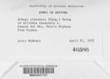
A photograph of the species Albugo platensis, not of this specimen1921Albugo platensis (Speg.) SwingleChromistaVan WertStevenson, John A.BPI BPI 185914

The townships, in 1858

178,675 words

The Book of the Great Railway Celebrations of 1857; Embracing a Full Account of the Opening of the Ohio & Mississippi, and the Marietta & Cincinnati Railroads, and the Northwestern Virginia Branch of the Baltimore and Ohio Railroad, with ... an Account of the Subsequent Excursion to Baltimore, Washington and Norfolk .. devotes a chapter to each township: its boundaries and streams, who settled it and when, the mills, the schools and the churches. All 1 are reproduced here in full. Each row shows the township's own shape and where it lies in the county, drawn from the Census Bureau's boundary. Which settlements belong to which township is computed from that same boundary, not taken from the book.

Shape and position in the county TownshipSettlements in it LengthSections
Washington TownshipMiddle Point178,675 words133

The people it describes

13 named

Everyone The Book of the Great Railway Celebrations of 1857; Embracing a Full Account of the Opening of the Ohio & Mississippi, and the Marietta & Cincinnati Railroads, and the Northwestern Virginia Branch of the Baltimore and Ohio Railroad, with ... an Account of the Subsequent Excursion to Baltimore, Washington and Norfolk .. stops to write about, with the section that describes them. Among them are the men who founded the place and governed the Territory. Each name opens the passage itself, in the words of 1858.

Every populated place in the county

29

Named settlements recorded in the Geographic Names Information System, each with the topographic sheets covering it. Villages, hamlets and abandoned places alike. Each is shown with the watercourse or landform it stands on and the survey quadrangle it falls on. The 1 places that were also surveyed for fire insurance come first, with the number of atlases and photographs held for them.

Recorded here

Van Wert, Ohio

14 topographic sheets and 8 fire insurance atlases, 1884 to 1948

Everything this county holds

The complete index, with nothing left out. Each of these is a separate record with its own page: a federal survey report, or the case file that argued a property on to the National Register. Both are public domain and reproduced word for word.

Surveyed structures

1 structure

Nomination case files

3 case files

The vanished settlements of Van Wert County, the places these records name that are no longer on the map.

Provenance

  • Topographic sheets. USGS Historical Topographic Map Collection, county index, measured from the bulk metadata.
  • Fire insurance maps. Library of Congress Sanborn collection, faceted to this county.
  • Photographs. Each place queried individually against the Library of Congress Prints and Photographs search.
  • Wildfire. Short, Karen C. 2022. Spatial wildfire occurrence data for the United States, 1992-2020 [FPA_FOD_20221014]. 6th Edition. Fort Collins, CO: Forest Service Research Data Archive. https://doi.org/10.2737/RDS-2013-0009.6 Collected with United States Government funding and usable without additional permissions or fees.
  • Specimens. Global Biodiversity Information Facility (GBIF), https://www.gbif.org/. Only records licensed CC0 or CC BY are used. Records licensed CC BY-NC are excluded because this site carries advertising. Images are checked individually and any whose licence is non-commercial, no-derivatives or unreadable is refused.
  • Mines and quarries. USGS Mineral Resources Data System (MRDS) https://mrdata.usgs.gov/mrds/ A work of the United States government, no copyright under 17 U.S.C. 105.
  • Storms. NOAA National Centers for Environmental Information, Storm Events Database https://www.ncei.noaa.gov/stormevents/ A work of the United States government, no copyright under 17 U.S.C. 105. Narratives are quoted verbatim from the National Weather Service report and are not edited or summarised.