 Block
Semples, Ohio
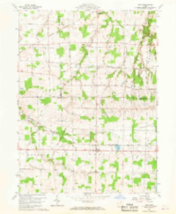
11 topographic sheets cover this place, the earliest surveyed in 1908 and the latest in 1986. It stands in Rochester Township. It lies in ZIP code area 44851. The Survey maps it on the Nova quadrangle.
Then and now
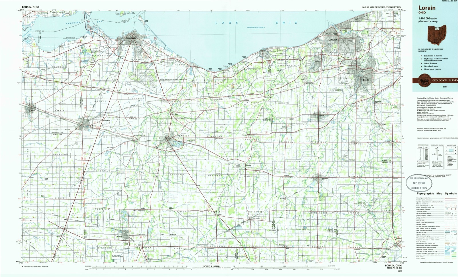
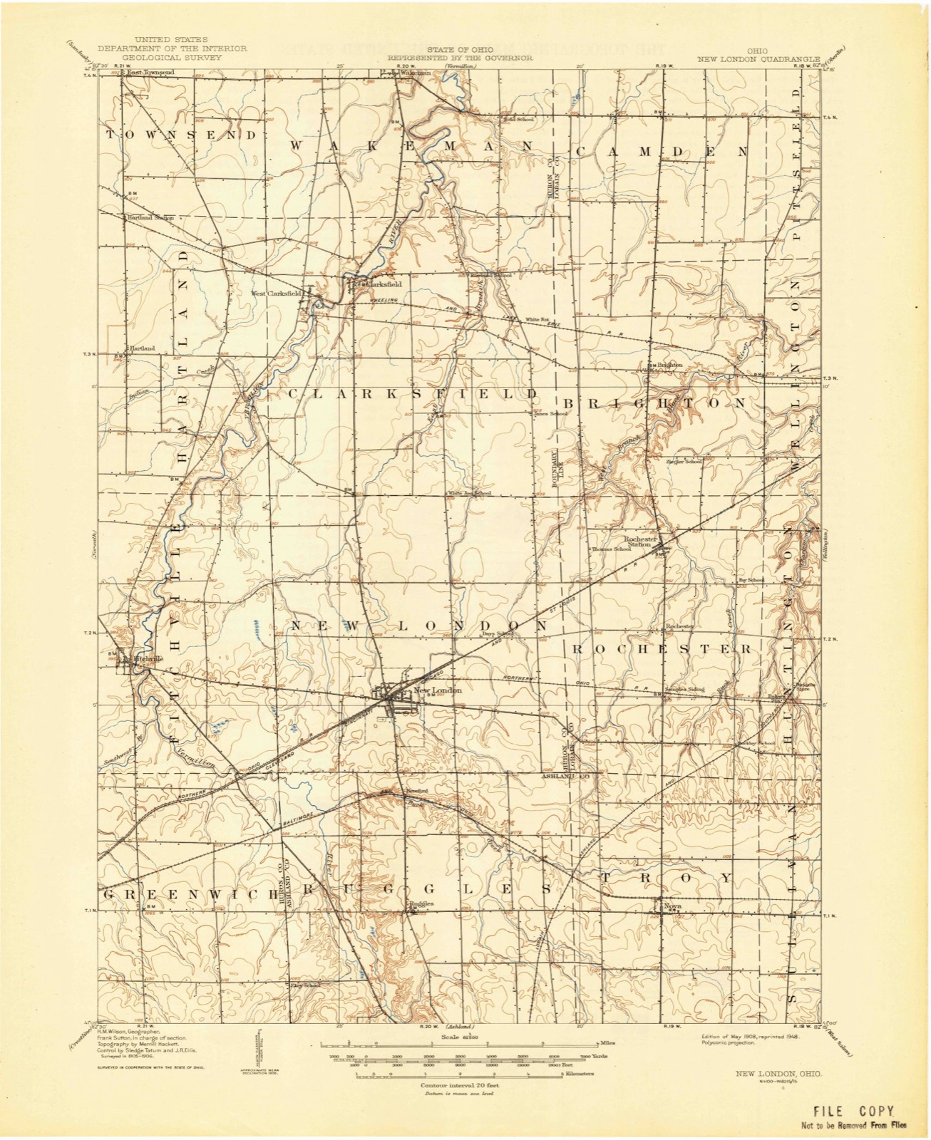
1908 to 1986The same ground, surveyed 78 years apart. Drag the handle to wipe between them. Both sheets are United States Geological Survey originals; neither has been altered.
Compare 1908 against another survey:
Topographic sheets covering this place
5 surveys from 11 printed sheetsMatched by testing this settlement's coordinate against the published boundary of every sheet in the United States Geological Survey's historical collection. Each opens the scanned sheet at the Survey.
- 1908 USGS New London quadrangle1:62500
- 1956 USGS Toledo quadrangle1:250000, 4 printings
- 1960 USGS Nova quadrangle1:24000, 3 printings
- 1961 USGS Toledo quadrangle1:250000
- 1986 USGS Lorain quadrangle1:100000, 2 printings
What happened here
An account from the chapter on Rochester township. The inset identifies its exact source book and publication year.
Game
Game of the smaller kinds was very abundant before the hunters became too numerous. It cannot be positively stated that any old bears were killed in the township after the settlement was begun; but there is a vague tradition to the effect that Solomon Root and Joseph Ross once found two in a whitewood tree in the southwest part of the town, and killed them.
In the county-history sources
31,365 words on this townshipHistory of Lorain County, Ohio, published 1879 has no passage naming this settlement, which was common for smaller places. Its township is covered in full.
The chapter on Rochester Township covers the township.
Read the chapter on Rochester Township - 31,365 words.
Specimens collected near this place
12 of 606 shownRegional context, not property-specific evidence. Museums hold 606 specimens collected within 10 miles of Semples between 1892 and 1975: 566 Animalia, 38 Plantae, 2 Fungi. 12 distinct Species records are shown. Collected by B Zahuranec, B Zahuranec & party, B.J. Zahuranec and M.B. Trautman and others. Each is a physical object with a catalogue number, and each entry opens the museum's record. This is what was collected and kept, not a survey of what lives here - nothing can be concluded from a species being absent.
| Image | Species | Year | Collected by | Where, as recorded |
|---|---|---|---|---|
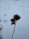 | Abutilon theophrasti Medik. | 1892 | Phillips, E.W. | Rochester |
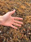 | Alisma subcordatum Raf. | 1892 | Phillips, E.W. | Rochester |
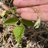 | Amphicarpaea bracteata (L.) Fernald | 1892 | Phillips, E.W. | Rochester |
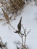 | Asclepias incarnata L. | 1892 | Phillips, E.W. | Rochester |
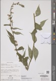 | Campanula americana Mill., 1768 | 1892 | Phillips, E.W. | Rochester |
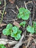 | Circaea lutetiana subsp. canadensis (L.) Asch. & Magnus | 1892 | not recorded | Huntington |
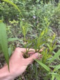 | Coreopsis palmata Nutt. | 1892 | Phillips, E.W. | Rochester |
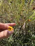 | Coreopsis tinctoria Nutt. | 1892 | Phillips, E.W. | Rochester |
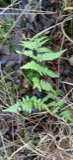 | Dryopteris carthusiana (Vill.) H.P.Fuchs | 1892 | Phillips, E.W. | Rochester |
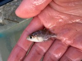 | Ambloplites rupestris rupestris (Rafinesque, 1817) | 1928 | Trautman, M. B. (Milton Bernard) | West Branch Black River, within Brighton township, near Rochester, Brighton township |
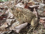 | Bufo americanus Holbrook, 1836 | 1928 | Walker, C. F. (Charles F.) | Along Black River, Brighton Twp., Lorain Co., Ohio |
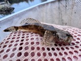 | Cottus bairdii bairdii Girard, 1850 | 1928 | Trautman, M. B. (Milton Bernard) | West Branch Black River, within Brighton township, near Rochester, Brighton township |
All 606 specimens within 10 miles, at the Global Biodiversity Information Facility.
Mines and quarries near this place
1 within 5 milesRegional context, not property-specific evidence. The federal mineral resources record lists 1 working within 5 miles of Semples: 1 producer. All of them still produce. What was taken out: Clay. Distance is straight-line from the map coordinates, so a quarry counted here may appear on a neighbouring settlement's page as well.
| Where | Site | Commodity | Status | Recorded |
|---|---|---|---|---|
| Biglow | Clay | Producer |
Storms near this place
1 since 2008Regional context, not property-specific evidence. The National Weather Service names Semples in 1 storm report in 2008: 1 flash flood. No death or injury is recorded in these reports. Each account below is quoted exactly as the forecast office filed it, from the NOAA Storm Events Database, and each date opens the federal record of that event.
| When | Event | Place named | Harm | What the report says |
|---|---|---|---|---|
| June 2008 | Flash Flood | Semples | $100,000 | Very heavy rainfall of 3 to 5 inches in less than two hours in southern Lorain County produced flash flooding across a large area. Cars were submerged in Wellington, with at least 3 vehicle rescues. Another rescue took place along Quarry Road just north of Griggs Road in Rochester Township. Widespread basement flooding from the runoff was also reported in Rochester, where floodwaters reached up to the base of the first floor joists in the Rochester Baptist Church. The Findley State Park was particularly hard hit, with many roads closed by high water and numerous trees washed away by the high flows. |
Nearest settlements
The eight closest, with where each one stands in the county. Distances are straight-line, computed from the Geographic Names Information System coordinates.
| Map | Place | Distance | Sheets |
|---|---|---|---|
| Rochester | 2.7 miles | 11 | |
| Huntington | 4.5 miles | 12 | |
| Brighton | 5.8 miles | 11 | |
| Wellington | 7.3 miles | 12 | |
| Camden | 10.4 miles | 11 | |
| Penfield | 11.2 miles | 11 | |
| Pittsfield | 11.3 miles | 12 | |
| Pheasant Run Village | 11.5 miles | 12 |
Elsewhere
Matched on this settlement's Geographic Names Information System number rather than its name, so it cannot be a different place of the same name in another state.
| Wikidata item Q122558347 | The structured record the population and elevation above come from. Public domain (CC0). |
Provenance
This settlement is recorded in the Geographic Names Information System as feature 1071125. The sheet list is computed by point-in-boundary test against the United States Geological Survey's historical topographic inventory. Both are works of the United States government and carry no copyright under 17 U.S.C. 105.
Specimens. Global Biodiversity Information Facility (GBIF), https://www.gbif.org/. Only records licensed CC0 or CC BY are used. Records licensed CC BY-NC are excluded because this site carries advertising. Images are checked individually and any whose licence is non-commercial, no-derivatives or unreadable is refused.
Mines and quarries. USGS Mineral Resources Data System (MRDS) https://mrdata.usgs.gov/mrds/ A work of the United States government, no copyright under 17 U.S.C. 105.
Storms. NOAA National Centers for Environmental Information, Storm Events Database https://www.ncei.noaa.gov/stormevents/ A work of the United States government, no copyright under 17 U.S.C. 105. Narratives are quoted verbatim from the National Weather Service report and are not edited or summarised.