 Block
Block
Senecaville, Ohio
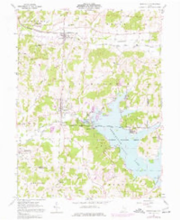
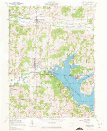
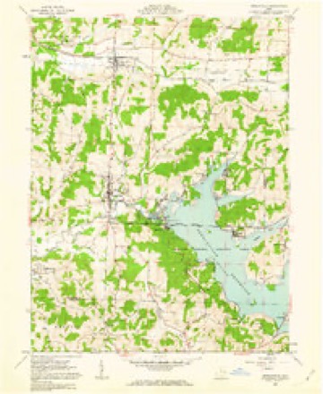
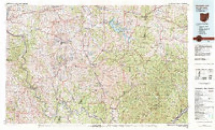
13 topographic sheets cover this place, the earliest surveyed in 1909 and the latest in 1994. It stands in Richland Township. It lies in ZIP code area 43780. It stands on Opossum Run. The Survey maps it on the Senecaville quadrangle. 422 people lived here at the 2020 count. It stands 892 feet above sea level.
Population over time
2 figuresSenecaville fell from 457 to 422 between 2010 and 2020. These are the recorded population figures Wikidata holds for this place, reached through the Geographic Names Information System number this page is keyed on rather than by name, so they belong to this place and not to another of the same name. Most are census counts, but not all are: an early figure may be a founding or settlement estimate. The change column is computed, and is left blank where more than 20 years separate a figure from the one before it, because a gap that long is not a change between two counts.
| Year | People | Change |
|---|---|---|
| 2010 | 457 | |
| 2020 | 422 | -35 (-8%) |
Then and now
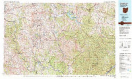
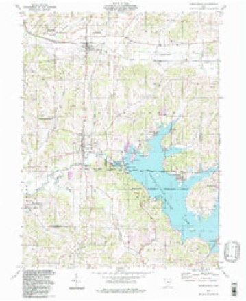
1909 to 1994The same ground, surveyed 85 years apart. Drag the handle to wipe between them. Both sheets are United States Geological Survey originals; neither has been altered.
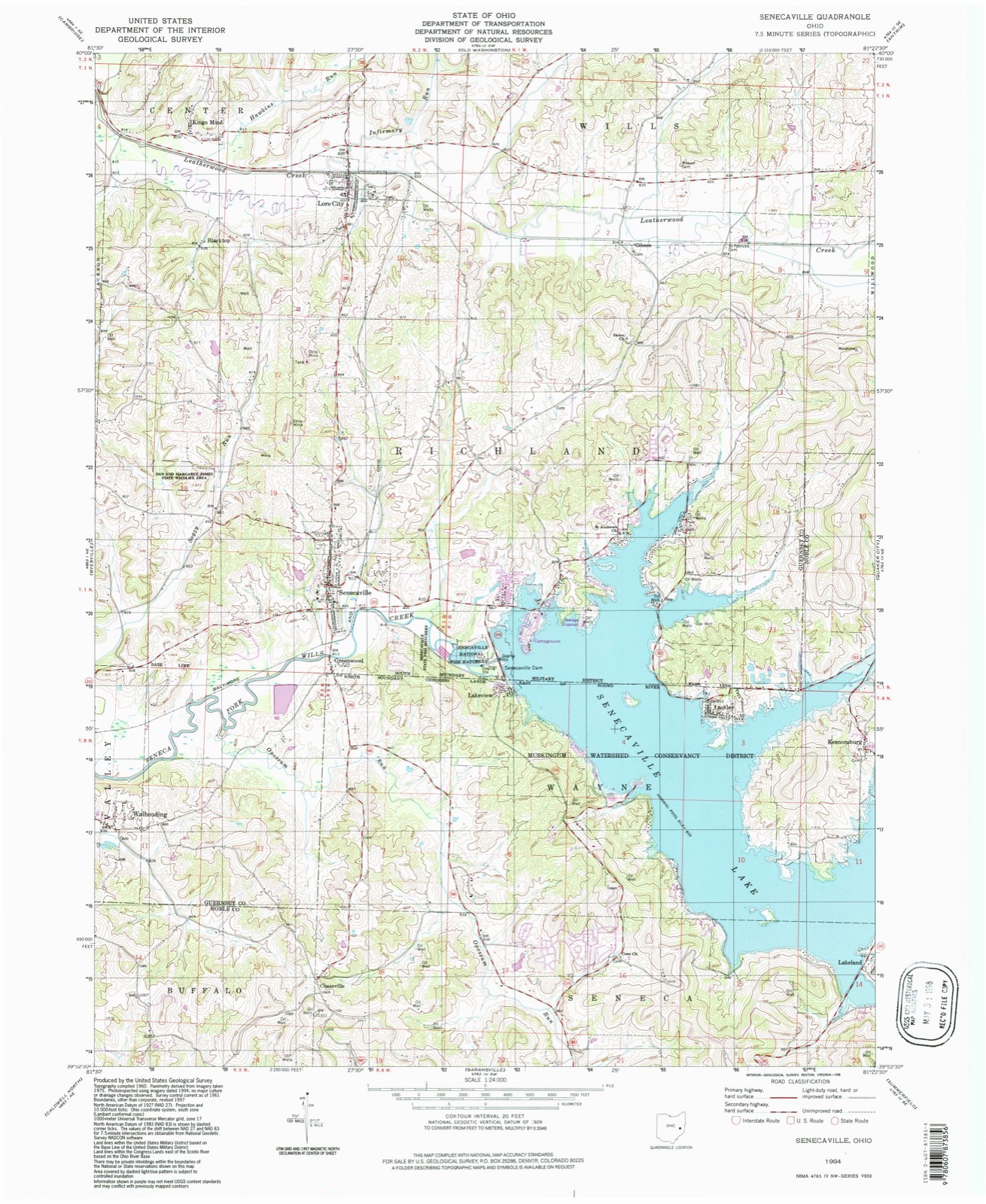
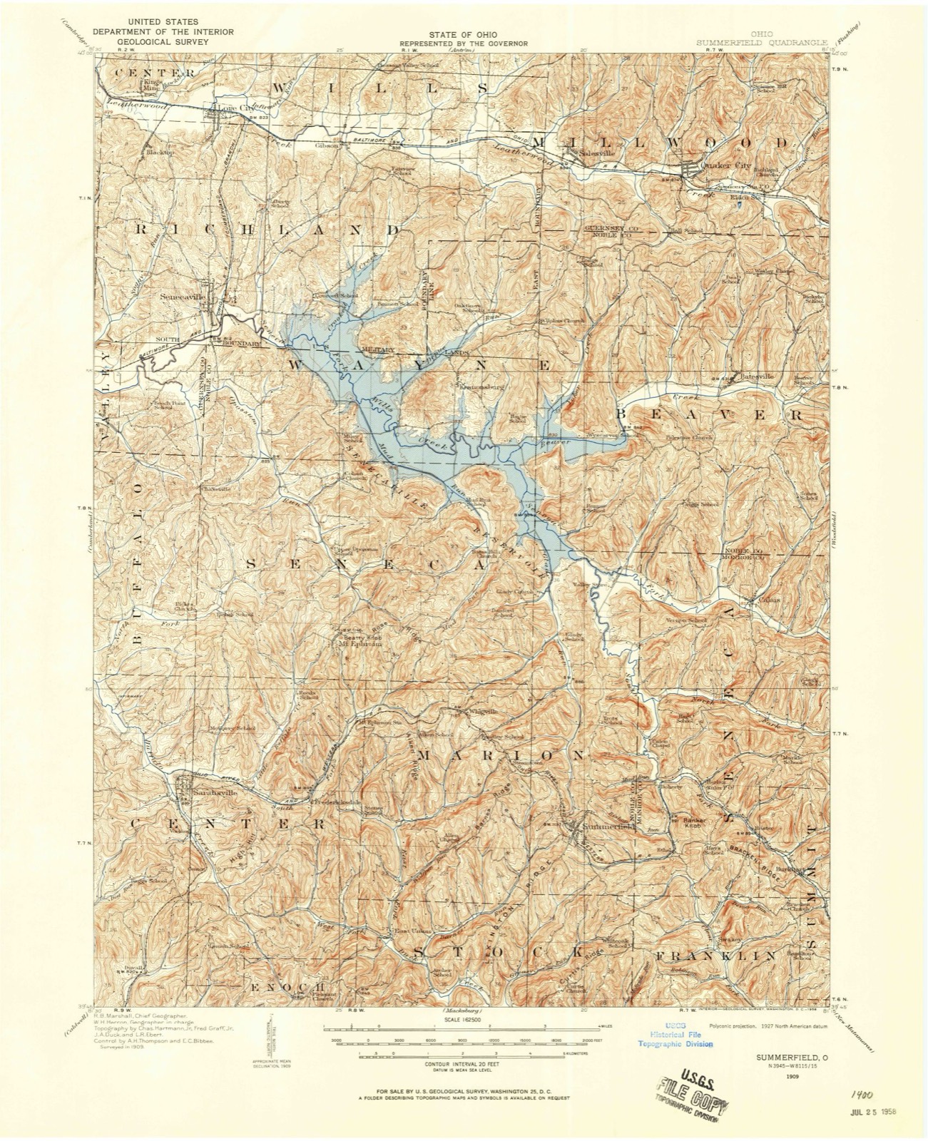
Topographic sheets covering this place
13 sheetsMatched by testing this settlement's coordinate against the published boundary of every sheet in the United States Geological Survey's historical collection. Each opens the scanned sheet at the Survey.
- 1909 USGS Summerfield quadrangle1:62500
- 1911 USGS Summerfield quadrangle1:62500
- 1949 USGS Clarksburg quadrangle1:250000
- 1956 USGS Clarksburg quadrangle1:250000
- 1956 USGS Clarksburg quadrangle1:250000
- 1961 USGS Clarksburg quadrangle1:250000
- 1961 USGS Senecaville quadrangle1:24000
- 1961 USGS Senecaville quadrangle1:24000
- 1961 USGS Senecaville quadrangle1:24000
- 1980 USGS Senecaville quadrangle1:100000
- 1980 USGS Senecaville Lake quadrangle1:100000
- 1988 USGS Clarksburg quadrangle1:250000
- 1994 USGS Senecaville quadrangle1:24000





In the county-history sources
3,384 words on this townshipPortrait and Biographical Record of Guernsey County, Ohio, Containing Biographical Sketches of Prominent and Representative Citizens of the County, Together with Biographies and Portraits of All the Presidents of the United States, published 1895 names this settlement in its chapter on Richland Township. These are the passages that mention it, exactly as the scans read.
Mr. Thompson was born September 24, 1808, in Fayette County, Pa., and came to the vicinity of Senecaville with his parents' family in the spring of 1811, and be has lived within a short distance of the place of first settlement ever since. At the date last mentioned there were only two or three log cabins on the present site of Senecaville. David Satterthwaite and William Thompson, Robert's uncle, were perhaps the first settlers. Satterthwaite owned a. great many acres of land in this region.
Passage source: Portrait and Biographical Record of Guernsey County, Ohio, Containing Biographical Sketches of Prominent and Representative Citizens of the County, Together with Biographies and Portraits of All the Presidents of the United States, published 1895.
Owes its name to causes that were working long before this part of the Union was settled. Ages before petroleum became known to the white race by that name, it was in use among the Seneca Indians who occupied a portion of the present state of New York, and of the famous oil belt of Pennsylvania. This oil rose to the surface of springs and creeks, and was used by the red men as a cure for rheumatism, burns, s[)rains and many other ailments. Througli tlie Indians it became known to the white settlers, and by tliem was called from the name of the Indians Seneca Oil, and it became as popular among the people of civilization as it was among the children of the forest, and large quantities of it were sold in small bottles at prices that now would buy barrels. Explorers and earl3' settlers found this oil in a spring and the waters of the creek into which it discharged and, recognizing the substance, promptly named this branch of Wills Creek Seneca Creek, on account of its oleaginous feature. Later, when a town was built on this creek and in the immediate vicinity of the famous spring, it took the name of Senecaville.
Passage source: Portrait and Biographical Record of Guernsey County, Ohio, Containing Biographical Sketches of Prominent and Representative Citizens of the County, Together with Biographies and Portraits of All the Presidents of the United States, published 1895.
Out of the Colonization Society grew the organization known as the "Undergound Railroad," by whicli tlie Abolitionists helped many of the slaves to liberty. The home of Dr. Baldridge was a depot on this line, and many a slave found lodgment and comfort there while on his wa^' to Canada and liberty. Among the most prominent Abolitionists of this place .during the thirty years following were Rev. William C. Keil, who left Virginia, his native state, on account of his hatred of slaver}-; Dr. John Baldridge, Dr. David Frame, Dr. Noah Hill and Judge William Thompson.
Passage source: Portrait and Biographical Record of Guernsey County, Ohio, Containing Biographical Sketches of Prominent and Representative Citizens of the County, Together with Biographies and Portraits of All the Presidents of the United States, published 1895.
Machine-read from a century-old scan, so expect the errors a machine makes: misspelled names, dropped words, stray characters.
Read the whole chapter on Richland Township - it names this place 8 more 8 times.
Fires near this place
35 since 2009Regional context, not property-specific evidence. The federal wildfire occurrence database lists 35 fires within 5 miles of Senecaville between 2009 and 2020, burning about 61 acres in total. 1 started naturally. 2 were recorded as arson. Distance is straight-line from the map coordinates, so a fire counted here may appear on a neighbouring settlement's page as well.
| Reported cause | Fires |
|---|---|
| Debris and open burning | 13 |
| Missing data/not specified/undetermined | 8 |
| Smoking | 4 |
| Equipment and vehicle use | 3 |
| Recreation and ceremony | 3 |
| Arson/incendiarism | 2 |
| Natural | 1 |
| Power generation/transmission/distribution | 1 |
The most recent of them, most recent first, with the day each was reported and the service that recorded it.
| Date | Cause | Size | Reported by | Name on the report |
|---|---|---|---|---|
| 29 September 2017 | Debris and open burning | under an acre | Ohio Department of Natural Resources | 8805 |
| 20 September 2020 | Smoking | under an acre | Ohio Department of Natural Resources | 16076 |
| 31 May 2014 | Debris and open burning | under an acre | Ohio Department of Natural Resources | not named |
| 11 May 2015 | Natural | 1.0 acres | Ohio Department of Natural Resources | 1301 |
| 5 April 2020 | Recreation and ceremony | under an acre | Ohio Department of Natural Resources | 16079 |
| 4 April 2020 | Missing data/not specified/undetermined | under an acre | Ohio Department of Natural Resources | 16082 |
| 28 April 2012 | Debris and open burning | under an acre | Ohio Department of Natural Resources | not named |
| 27 April 2013 | Debris and open burning | 1.5 acres | Ohio Department of Natural Resources | not named |
Settlements close enough to share some of these fires:
Specimens collected near this place
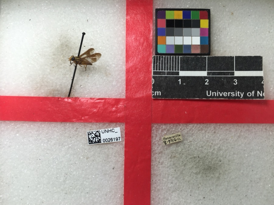
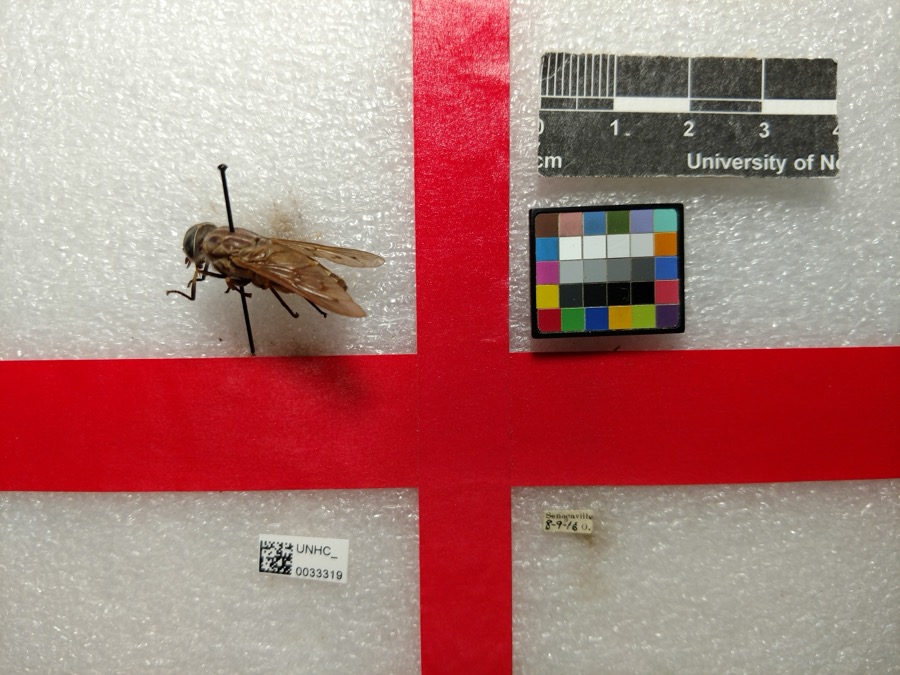
12 of 161 shownRegional context, not property-specific evidence. Museums hold 161 specimens collected within 10 miles of Senecaville between 1875 and 1975: 89 Animalia, 69 Plantae, 3 Fungi. 12 distinct Species records are shown. Collected by Adams, W. (William), Adams, W. (William), Trautman, M. B. (Milton Bernard) et al., Adler, K. K. and others. Each is a physical object with a catalogue number, and each entry opens the museum's record. This is what was collected and kept, not a survey of what lives here - nothing can be concluded from a species being absent.
| Image | Species | Year | Collected by | Where, as recorded |
|---|---|---|---|---|
 | Chrysops vittatus Wiedemann, 1821 | 1916 | not recorded | |
 | Tabanus sulcifrons Osten Sacken, 1878 | 1916 | not recorded | |
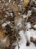 | Asclepias tuberosa L. | 1875 | s.c. | Fairmont |
 | Enslenia albida Nutt. | 1875 | s.c. | Fairmont |
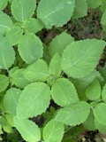 | Impatiens pallida Nutt. | 1875 | Lloyd, Curtis Gates | Fairmont |
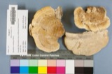 | Daedalea ambigua Berk. | 1902 | Lloyd C. G. | Glenwood |
.jpg) | Dothiorella Sacc., 1880 | 1910 | Dawson W. | Byesville |
 | Taphrina caerulescens (Desm. & Mont.) Tul. | 1912 | Bartenstein T. E. | Warrentown |
| Apidae | 1916 | not recorded | ||
 | Apis mellifera Linnaeus, 1758 | 1916 | not recorded | |
 | Cuclotogaster heterographus (Nitzsch, 1866) | 1916 | P. R. Lowry | |
 | Goniodes Nitzsch, 1818 | 1916 | P. R. Lowry |
All 161 specimens within 10 miles, at the Global Biodiversity Information Facility.
Storms near this place
15 since 1994Regional context, not property-specific evidence. The National Weather Service names Senecaville in 15 storm reports between 1994 and 2026: 7 thunderstorm wind, 6 hail, 1 flash flood, 1 flood. No death or injury is recorded in these reports. Each account below is quoted exactly as the forecast office filed it, from the NOAA Storm Events Database, and each date opens the federal record of that event.
| When | Event | Place named | Harm | What the report says |
|---|---|---|---|---|
| June 2009 | Thunderstorm Wind | Senecaville | $50,000 | Law enforcement reported several large trees down in Senecaville. |
| June 2012 | Thunderstorm Wind | Senecaville | $5,000 | Trained spotter reported multiple trees down near Senecaville. |
| August 1994 | Thunderstorm Wind | Senecaville | $5,000 | Trees were downed, some on power lines. |
| June 2002 | Thunderstorm Wind | Senecaville | $2,000 | Thunderstorm winds downed a few large trees. |
| June 2002 | Thunderstorm Wind | Senecaville | $1,000 | Thunderstorm winds downed a large tree. |
| April 2024 | Flood | Senecaville | - | Report of flooded roadways in Senecaville, OH. |
| July 2018 | Thunderstorm Wind | Senecaville | - | A trained spotter reported 20 trees down and structural damage to a radio antenna. There was roof damage to 1 structure and numerous trees down along Route 313. |
| July 2017 | Thunderstorm Wind | Senecaville | - | Law enforcement reported trees down. |
| January 2006 | Flash Flood | Senecaville | - | One road flooded in Buffalo. |
| March 2026 | Hail | Senecaville | - | no account filed |
| May 2024 | Hail | Senecaville | - | no account filed |
| May 2024 | Hail | Senecaville | - | no account filed |
| May 2014 | Hail | Senecaville | - | no account filed |
| June 1998 | Hail | Senecaville | - | no account filed |
| June 1998 | Hail | Senecaville | - | no account filed |
Nearest settlements
The eight closest, with where each one stands in the county. Distances are straight-line, computed from the Geographic Names Information System coordinates.
| Map | Place | Distance | Sheets |
|---|---|---|---|
| Greenwood | 0.7 miles | 13 | |
| Chestnut Grove Cottage Area | 2.2 miles | 13 | |
| West Shore Cottage Area | 2.3 miles | 13 | |
| Duch Addition | 2.5 miles | 13 | |
| Hickory Grove Cottage Area | 2.7 miles | 13 | |
| Walhonding | 2.8 miles | 13 | |
| East Shore Cottage Area | 2.8 miles | 13 | |
| Echo Point | 3.1 miles | 13 |
Elsewhere
Matched on this settlement's Geographic Names Information System number rather than its name, so it cannot be a different place of the same name in another state.
| Wikipedia article on Senecaville | An encyclopaedic summary. Its text is share-alike, so it is linked here rather than copied. |
| Wikidata item Q2037496 | The structured record the population and elevation above come from. Public domain (CC0). |
Provenance
This settlement is recorded in the Geographic Names Information System as feature 1049165. The sheet list is computed by point-in-boundary test against the United States Geological Survey's historical topographic inventory. Both are works of the United States government and carry no copyright under 17 U.S.C. 105.
Wildfire. Short, Karen C. 2022. Spatial wildfire occurrence data for the United States, 1992-2020 [FPA_FOD_20221014]. 6th Edition. Fort Collins, CO: Forest Service Research Data Archive. https://doi.org/10.2737/RDS-2013-0009.6 Collected with United States Government funding and usable without additional permissions or fees.
Specimens. Global Biodiversity Information Facility (GBIF), https://www.gbif.org/. Only records licensed CC0 or CC BY are used. Records licensed CC BY-NC are excluded because this site carries advertising. Images are checked individually and any whose licence is non-commercial, no-derivatives or unreadable is refused.
Storms. NOAA National Centers for Environmental Information, Storm Events Database https://www.ncei.noaa.gov/stormevents/ A work of the United States government, no copyright under 17 U.S.C. 105. Narratives are quoted verbatim from the National Weather Service report and are not edited or summarised.