 Block
Block
Seven Mile, Ohio
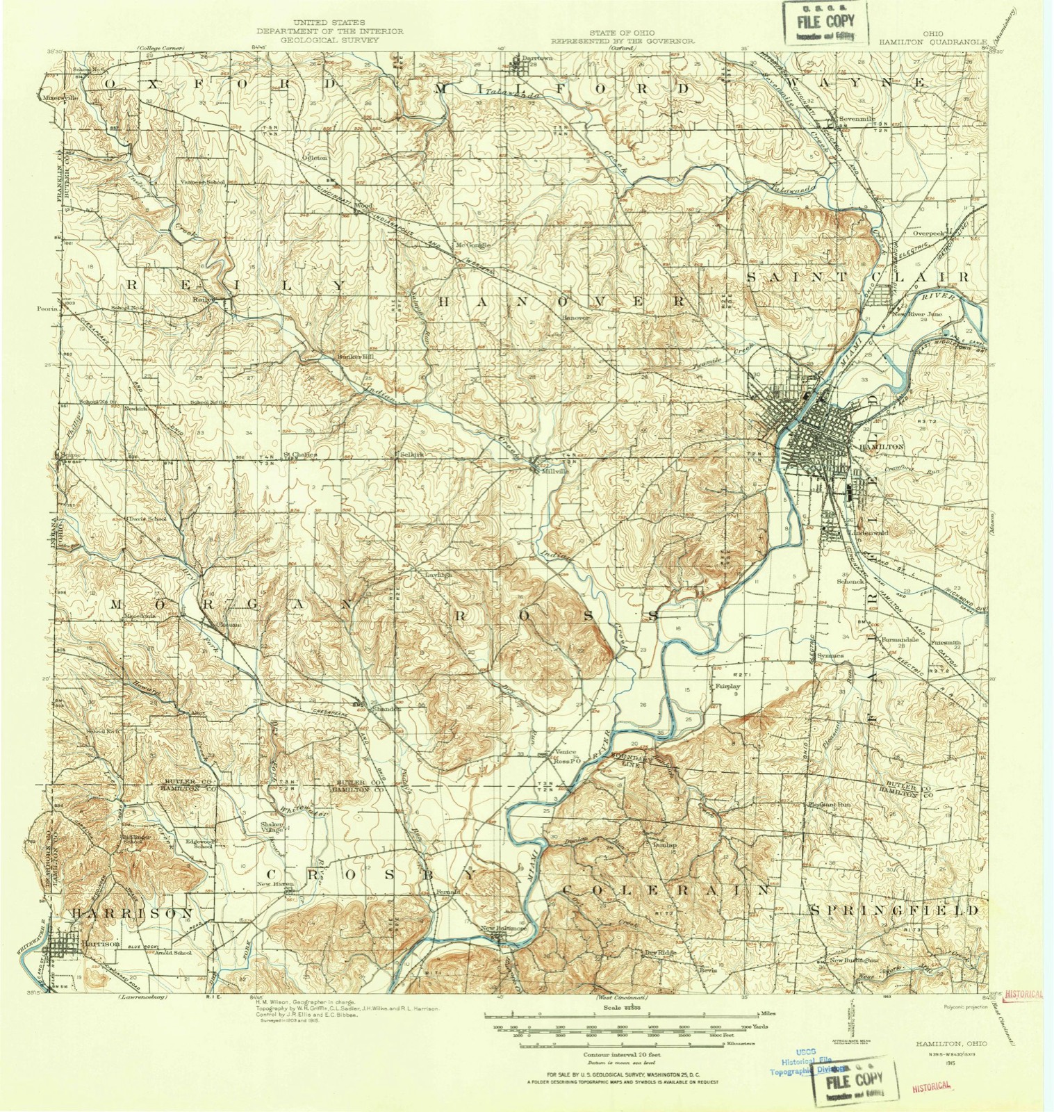
15 topographic sheets cover this place, the earliest surveyed in 1915 and the latest in 1986. It stands in Wayne Township. It lies in ZIP code area 45062. It stands on Sevenmile Creek. The Survey maps it on the Hamilton quadrangle. 712 people lived here at the 2020 count. It stands 653 feet above sea level.
Population over time
2 figuresSeven Mile fell from 751 to 712 between 2010 and 2020. These are the recorded population figures Wikidata holds for this place, reached through the Geographic Names Information System number this page is keyed on rather than by name, so they belong to this place and not to another of the same name. Most are census counts, but not all are: an early figure may be a founding or settlement estimate. The change column is computed, and is left blank where more than 20 years separate a figure from the one before it, because a gap that long is not a change between two counts.
| Year | People | Change |
|---|---|---|
| 2010 | 751 | |
| 2020 | 712 | -39 (-5%) |
Then and now
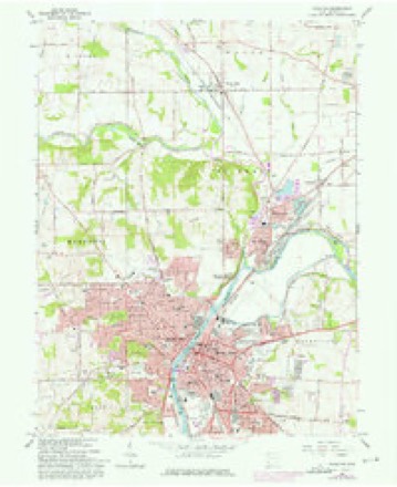
1915 to 1986The same ground, surveyed 71 years apart. Drag the handle to wipe between them. Both sheets are United States Geological Survey originals; neither has been altered.

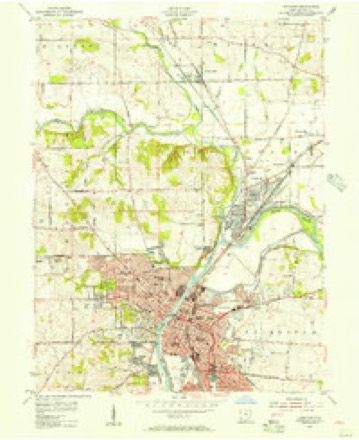
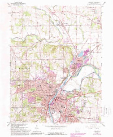
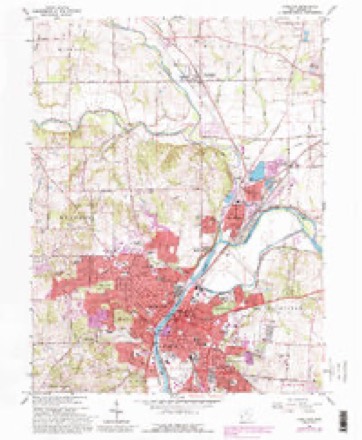
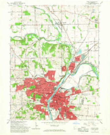
Topographic sheets covering this place
15 sheetsMatched by testing this settlement's coordinate against the published boundary of every sheet in the United States Geological Survey's historical collection. Each opens the scanned sheet at the Survey.
- 1915 USGS Hamilton quadrangle1:62500
- 1915 USGS Hamilton quadrangle1:62500
- 1917 USGS Hamilton quadrangle1:62500
- 1953 USGS Cincinnati quadrangle1:250000
- 1953 USGS Cincinnati quadrangle1:250000
- 1953 USGS Cincinnati quadrangle1:250000
- 1955 USGS Hamilton quadrangle1:24000
- 1957 USGS Cincinnati quadrangle1:250000
- 1965 USGS Hamilton quadrangle1:24000
- 1965 USGS Hamilton quadrangle1:24000
- 1965 USGS Hamilton quadrangle1:24000
- 1965 USGS Hamilton quadrangle1:24000
- 1986 USGS Cincinnati quadrangle1:100000
- 1986 USGS Cincinnati quadrangle1:100000
- 1986 USGS Cincinnati quadrangle1:100000







In the county-history sources
14,699 words on this townshipThe Mound Builders : Being an Account of a Remarkable People That Once Inhabited the Valleys of the Ohio and Mississippi, Together with an Investigation Into the Archæology of Butler County, O., published 1879 names this settlement in its chapter on Wayne Township. These are the passages that mention it, exactly as the scans read.
Within the enclosure is a mound partially surrounded by hillocks. This mound is two feet high by twenty-two feet in diameter at the base. On it is a white oak stump having two hundred and twenty-six annual rings of growth. Three of the hillocks snrroundiDg it form a section of a circle, but the fourth is in almost a direct line towards the gateway. The corresponding depression to these four hillocks faced the center mound. This excited our curiosity. AVhile the hillocks with their depressions were exactly of the same kind as those made by uprooted trees, yet the cavity in every instance facing the mound was a puzzle. It was not likely that four trees should fall in such a manner as to produce this result. Dr. Owsley thought we might discover something in the vicinity that would unravel or make clear this problem. One hundred and forty-five feet north of this enclosure we came upon twelve hillocks, eleven of which made a complete circle two hundred and thirty feet in diameter, or exactly of the same diameter as the enclosure. All of these eleven hillocks, except one to the southwest, had their corresponding depressions facing the center. A tree had growm upon the one to the southwest and fallen inwards, thus leaving a cavity on the exterior. We could find no other hillocks in the immediate vicinity. We knew it was not reasonable to presume that eleven trees on the line of a circle should fall, and, in every instance but one, leave the corresponding depressions so as to face each other. We came to the conclusion that a plan for a work had been here laid out, the mounds or stakes had been set, and then for some cause the work was abandoned. It may have been the intention of the builders to connect the two, but as to this we are entirely left to speculation. The twelfth mound is at the north and not more than five feet from one of the other mounds. It was thrown up for a purpose, but whether or not as part of a plan for a graded way no one can tell.
Passage source: The Mound Builders : Being an Account of a Remarkable People That Once Inhabited the Valleys of the Ohio and Mississippi, Together with an Investigation Into the Archæology of Butler County, O., published 1879.
This work gives us the clearest and most positive proof that the ancient engineers first planned and then executed their work. Taken in connection with the incomplete work in Union Township and the unfinished works at Alexandersville it gives us quite an insight into the methods of thought as exhibited by the ancient engineers.
Passage source: The Mound Builders : Being an Account of a Remarkable People That Once Inhabited the Valleys of the Ohio and Mississippi, Together with an Investigation Into the Archæology of Butler County, O., published 1879.
Two mounds are located on svhat is known as Snively's Hill, section twenty-six. This hill is five hundred and sixty-three feet above the Ohio River at Cincinnati. One is situated on the farm of Henry Snively and the other on the farm of J. Good. The former is in an open field and the latter in the woods. Both are about six feet high. This commanding hill would be of importance to the Mound Builders, for it overlooks tlie broad acres of the Miami on the south, and to the ancient tillers of the soil, in the valley, it would serve for an additional beacon light.
Passage source: The Mound Builders : Being an Account of a Remarkable People That Once Inhabited the Valleys of the Ohio and Mississippi, Together with an Investigation Into the Archæology of Butler County, O., published 1879.
Machine-read from a century-old scan, so expect the errors a machine makes: misspelled names, dropped words, stray characters.
Read the whole chapter on Wayne Township - it names this place 4 more 4 times.
Photographs
1 photograph,Taken for the Office of War Information and the Farm Security Administration, who photographed the country between 1935 and 1944. Works of United States government photographers, with no known restriction on use. Each opens its catalogue record.
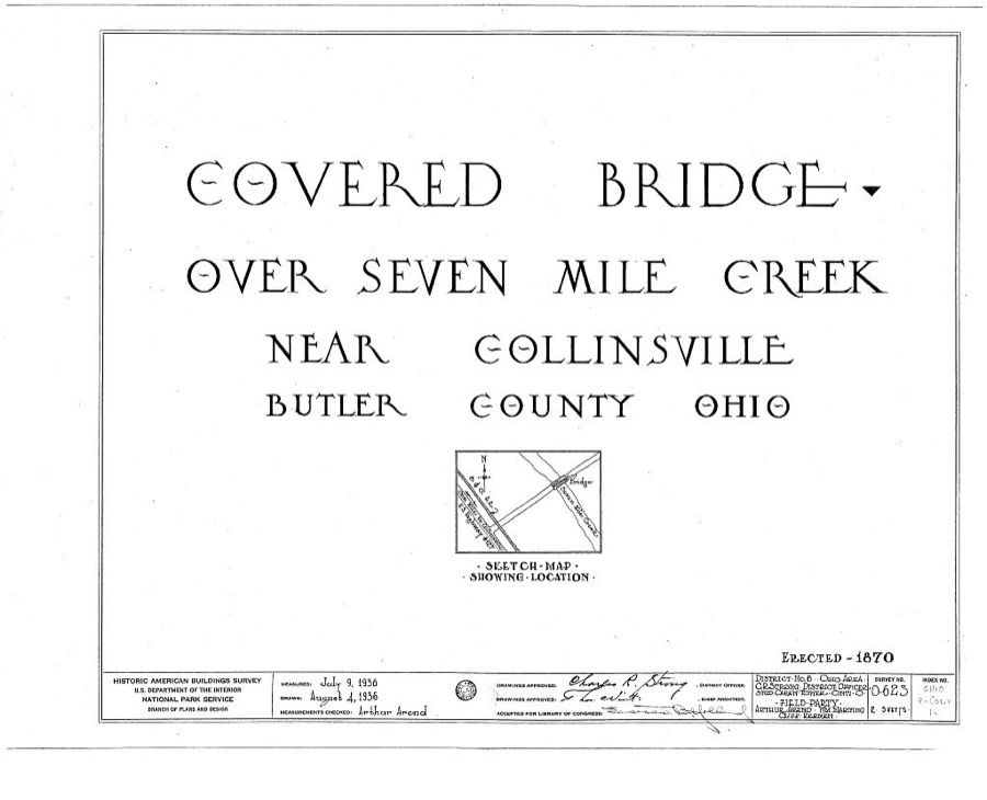
Unattributed, . Library of Congress
Specimens collected near this place
12 of 475 shownRegional context, not property-specific evidence. Museums hold 475 specimens collected within 10 miles of Seven Mile between 1835 and 1975: 192 Animalia, 146 Fungi, 108 Plantae, 29 Protozoa. 12 distinct Species records are shown. Collected by ?, A. C. Billups, A.R. Gaufin, H.H. Ross and others. Each is a physical object with a catalogue number, and each entry opens the museum's record. This is what was collected and kept, not a survey of what lives here - nothing can be concluded from a species being absent.
| Image | Species | Year | Collected by | Where, as recorded |
|---|---|---|---|---|
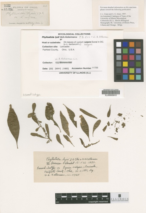 | Phyllosticta Pers., 1818 | 1883 | W. A. Kellerman | Lancaster. |
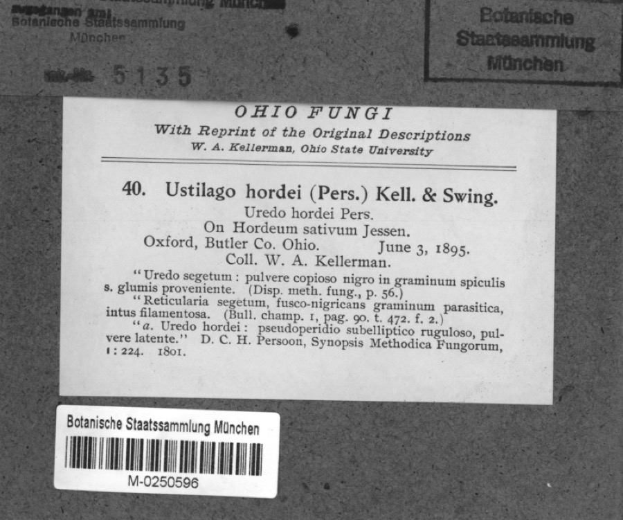 | Hordeum sativum Pers. | 1895 | Kellerman, W.A. | Oxford, Butler Co. Ohio. |
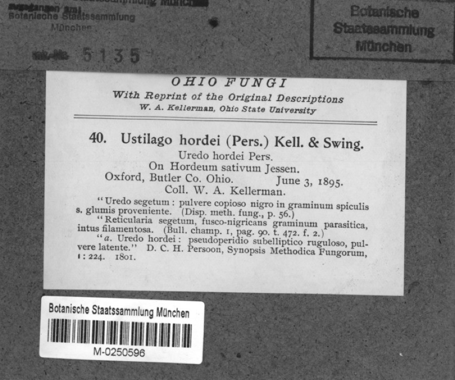 | Ustilago hordei (Pers.) Lagerh. | 1895 | Kellerman, W.A. | Oxford, Butler Co. Ohio. |
 | Carex careyana Torr. ex Dewey | 1835 | Collector unknown | In ditione "Miami" civitatis Ohio. |
| Carex convoluta Mack. | 1835 | Collector unspecified | "Miami" | |
 | Carex gracillima Schwein. | 1835 | B. Frank | In ditione "Miami" civitatis Ohio. |
 | Spiza americana (J.F.Gmelin, 1789) | 1879 | Porter, J.B. | |
 | Tringa solitaria A.Wilson, 1813 | 1879 | Porter collection, J.B. | |
 | Charadrius semipalmatus Bonaparte, 1825 | 1880 | not recorded | |
 | Chlidonias niger (Linnaeus, 1758) | 1880 | Porter collection, J.B. | |
 | Tringa melanoleuca (J.F.Gmelin, 1789) | 1880 | Porter collection, J.B. | |
 | Gavia immer (Brunnich, 1764) | 1881 | Porter, J.B. |
All 475 specimens within 10 miles, at the Global Biodiversity Information Facility.
Mines and quarries near this place
5 within 5 milesRegional context, not property-specific evidence. The federal mineral resources record lists 5 workings within 5 miles of Seven Mile: 3 past producers, 2 producers. 2 still produce. What was taken out: Sand and Gravel, Construction. Distance is straight-line from the map coordinates, so a quarry counted here may appear on a neighbouring settlement's page as well.
| Where | Site | Commodity | Status | Recorded |
|---|---|---|---|---|
| Aggregate Services Pit | Sand and Gravel, Construction | Producer | ||
| Fairfield Pit | Sand and Gravel, Construction | Past Producer | ||
| Hamilton Plant #710 | Sand and Gravel, Construction | Producer | ||
| New Miami Pit | Sand and Gravel, Construction | Past Producer | Sedimentary | |
| New Miami Pit | Sand and Gravel, Construction | Past Producer |
Storms near this place
12 since 2012Regional context, not property-specific evidence. The National Weather Service names Seven Mile in 12 storm reports between 2012 and 2026: 6 thunderstorm wind, 3 flash flood, 2 hail, 1 flood. No death or injury is recorded in these reports. Each account below is quoted exactly as the forecast office filed it, from the NOAA Storm Events Database, and each date opens the federal record of that event.
| When | Event | Place named | Harm | What the report says |
|---|---|---|---|---|
| July 2013 | Thunderstorm Wind | Seven Mile | $5,000 | Scattered trees were reported down around the county due to thunderstorm winds. |
| July 2015 | Thunderstorm Wind | Seven Mile | $3,000 | A large tree was downed onto power lines at Houge Road and Eaton Road. |
| August 2016 | Thunderstorm Wind | Seven Mile | $2,000 | Numerous trees were knocked down. |
| April 2015 | Thunderstorm Wind | Seven Mile | $2,000 | Several large tree branches were downed onto power lines. |
| May 2024 | Thunderstorm Wind | Seven Mile | $1,000 | A tree was downed on Eaton Road near Hogue Road. |
| January 2012 | Flood | Seven Mile | $1,000 | Moderate street flooding was reported in the area due to heavy rain. |
| June 2017 | Thunderstorm Wind | Seven Mile | $250 | A tree limb was knocked down near the intersection of W. Taylor School Road and Brooks Rd. |
| March 2026 | Flash Flood | Seven Mile | - | Several feet of water was reported to be flowing over Warwick Road. |
| February 2026 | Flash Flood | Seven Mile | - | Four Mile Creek was out of its banks and flowing across Hogue and Eaton Roads. |
| September 2016 | Flash Flood | Seven Mile | - | Over a foot of water was flowing across U.S. Route 127. |
| April 2012 | Hail | Seven Mile | - | no account filed |
| March 2012 | Hail | Seven Mile | - | no account filed |
Nearest settlements
The eight closest, with where each one stands in the county. Distances are straight-line, computed from the Geographic Names Information System coordinates.
| Map | Place | Distance | Sheets |
|---|---|---|---|
| Overpeck | 2.8 miles | 15 | |
| Williamsdale | 2.9 miles | 15 | |
| New Miami | 3.2 miles | 15 | |
| Cherokee Park | 3.4 miles | 15 | |
| Busenbark | 3.7 miles | 16 | |
| Collinsville | 3.9 miles | 9 | |
| City View Heights | 3.9 miles | 15 | |
| Warwickshire | 4.4 miles | 15 |
Elsewhere
Matched on this settlement's Geographic Names Information System number rather than its name, so it cannot be a different place of the same name in another state.
| Wikipedia article on Seven Mile | An encyclopaedic summary. Its text is share-alike, so it is linked here rather than copied. |
| Wikidata item Q301619 | The structured record the population and elevation above come from. Public domain (CC0). |
Provenance
This settlement is recorded in the Geographic Names Information System as feature 1065300. The sheet list is computed by point-in-boundary test against the United States Geological Survey's historical topographic inventory. Both are works of the United States government and carry no copyright under 17 U.S.C. 105.
Specimens. Global Biodiversity Information Facility (GBIF), https://www.gbif.org/. Only records licensed CC0 or CC BY are used. Records licensed CC BY-NC are excluded because this site carries advertising. Images are checked individually and any whose licence is non-commercial, no-derivatives or unreadable is refused.
Mines and quarries. USGS Mineral Resources Data System (MRDS) https://mrdata.usgs.gov/mrds/ A work of the United States government, no copyright under 17 U.S.C. 105.
Storms. NOAA National Centers for Environmental Information, Storm Events Database https://www.ncei.noaa.gov/stormevents/ A work of the United States government, no copyright under 17 U.S.C. 105. Narratives are quoted verbatim from the National Weather Service report and are not edited or summarised.