 Block
Smithville, Massachusetts
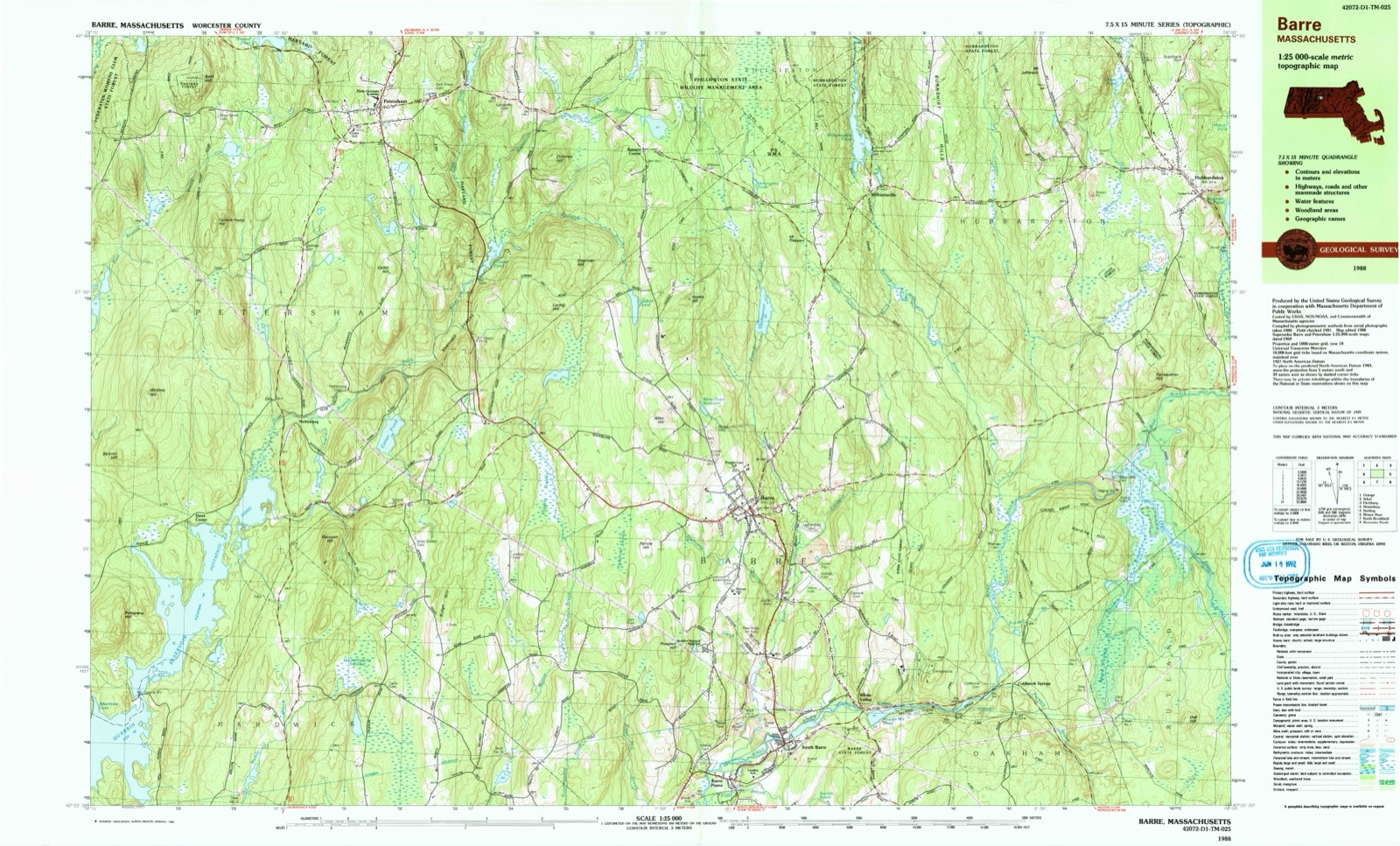
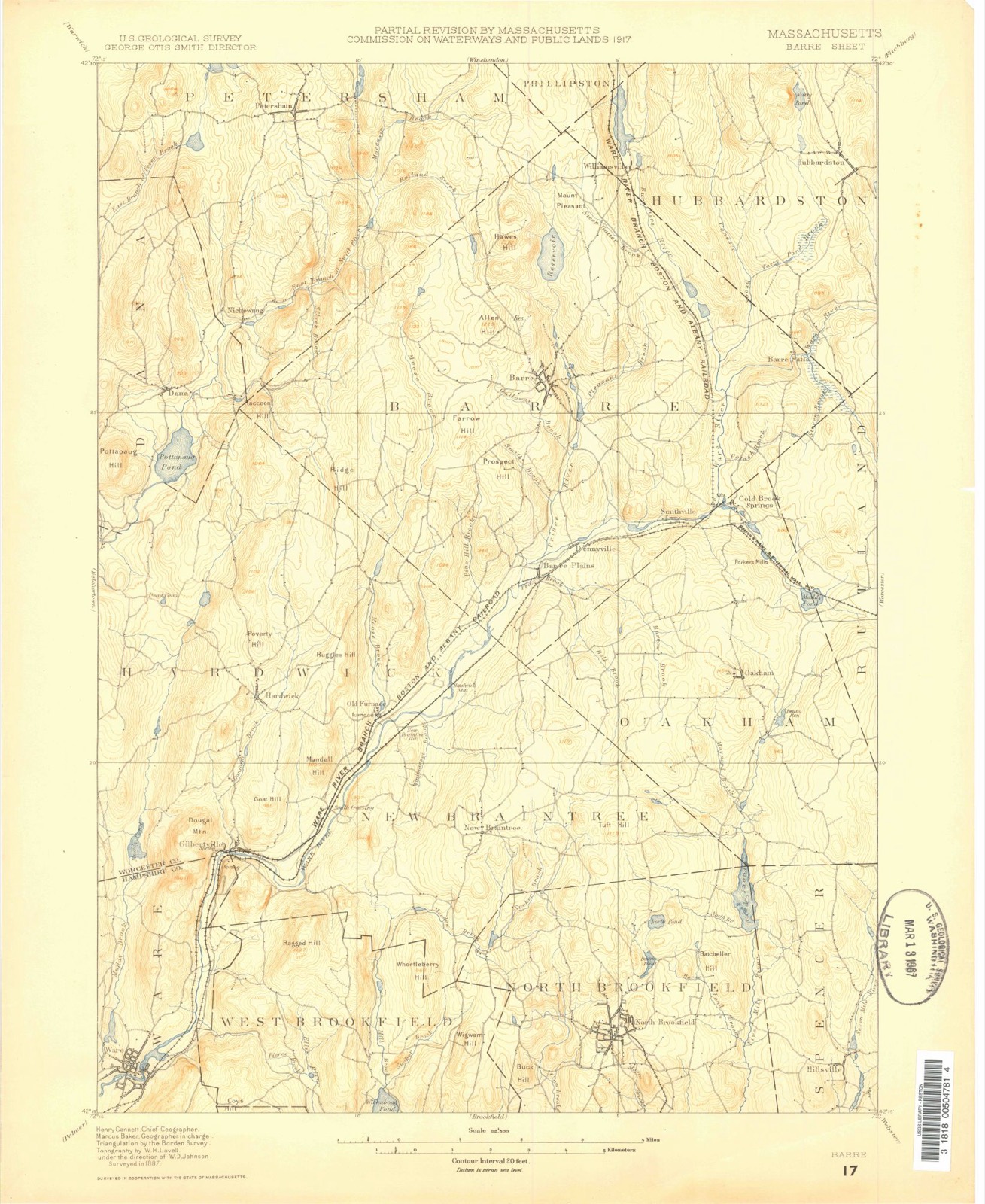
31 topographic sheets cover this place, the earliest surveyed in 1887 and the latest in 1988. It stands in Barre town. It lies in ZIP code area 01005. It stands on Parkers Brook. The Survey maps it on the Barre quadrangle.
Then and now
1887 to 1988The same ground, surveyed 101 years apart. Drag the handle to wipe between them. Both sheets are United States Geological Survey originals; neither has been altered.
Compare 1887 against another survey:
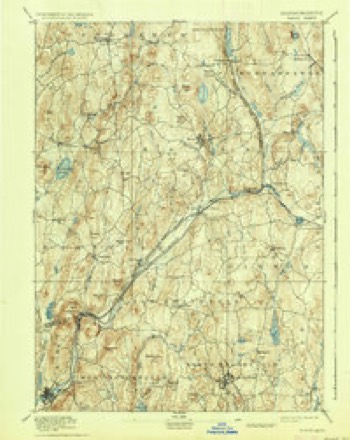
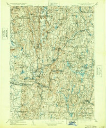
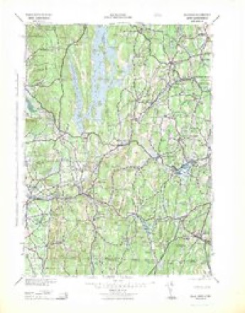
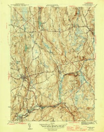
Topographic sheets covering this place
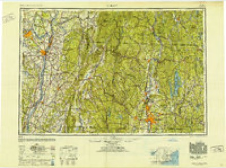
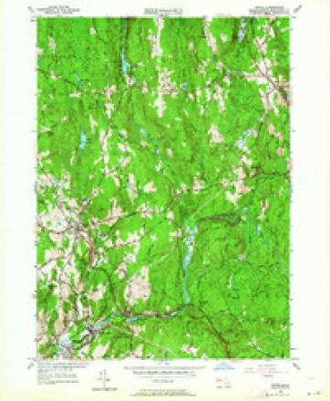
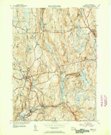
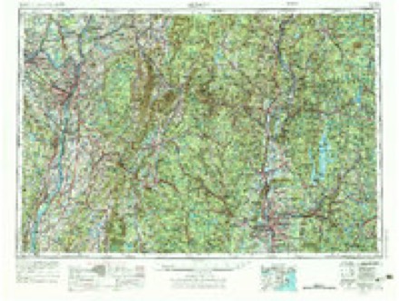
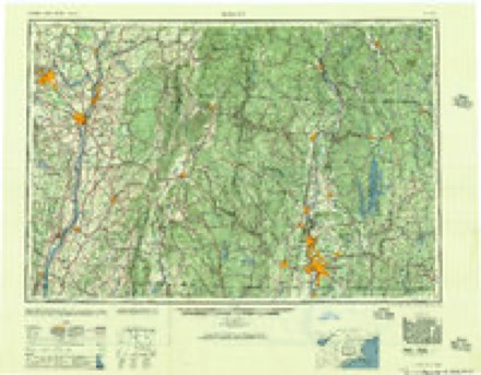
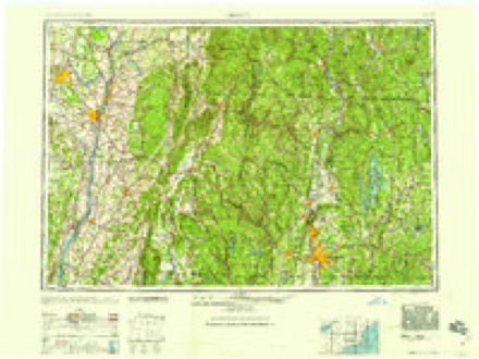
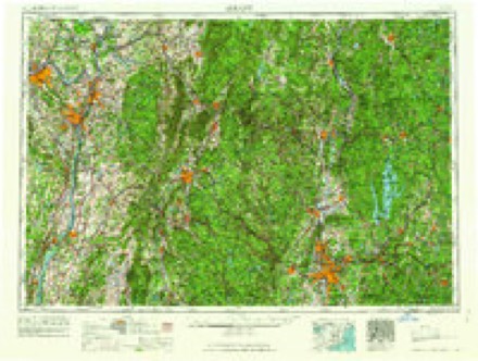
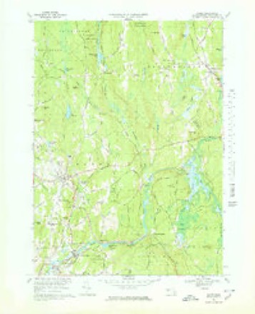
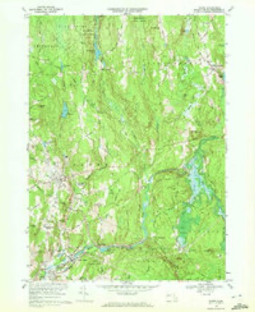
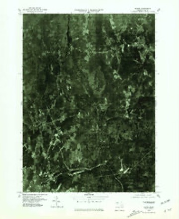
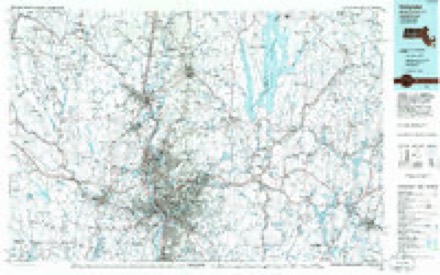
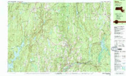
18 surveys from 31 printed sheetsMatched by testing this settlement's coordinate against the published boundary of every sheet in the United States Geological Survey's historical collection. Each opens the scanned sheet at the Survey.
- 1887 USGS Barre quadrangle1:62500
- 1889 USGS Barre quadrangle1:62500
- 1894 USGS Barre quadrangle1:62500, 7 printings
- 1908 USGS Ware quadrangle1:125000, 2 printings
- 1942 USGS Ware quadrangle1:125000
- 1946 USGS Barre quadrangle1:31680, 2 printings
- 1948 USGS Albany quadrangle1:250000
- 1954 USGS Barre quadrangle1:24000, 2 printings
- 1954 USGS Barre quadrangle1:31680, 2 printings
- 1956 USGS Albany quadrangle1:250000, 2 printings
- 1957 USGS Albany quadrangle1:250000
- 1959 USGS Albany quadrangle1:250000
- 1962 USGS Albany quadrangle1:250000
- 1969 USGS Barre quadrangle1:25000
- 1969 USGS Barre quadrangle1:24000
- 1975 USGS Barre quadrangle1:25000
- 1985 USGS Holyoke quadrangle1:100000, 2 printings
- 1988 USGS Barre quadrangle1:25000, 2 printings
In the county-history sources
23,544 words on this townshipHistory of Worcester County, Massachusetts, published 1889 names this settlement in its chapter on Barre Town. These are the passages that mention it, exactly as the scans read.
During, or a little previous to, 1825, Silas Bemis and Benjamin Clark each and separately conceived the idea of erecting a cotton-mill and each made strenuous efforts to complete the first dam. Mr. Clark, having obtained control of the water privilege by purchasing it and a considerable lot of land of the heirs of Matthew Caldwell, ei'ected a brick factory, which at that time was the first of any importance in this section of the State ; by the erection of this and the necessary tenement -houses he became financially embarrassed, but he soon organized a stock company, consisting of Messrs. Mixter, Woods, Bowman and others, by whom the work was carried on and the manufacture of cotton commenced; Mr. Clark, becoming involved in a lawsuit growing out of a claim for priority of rights to the water privilege, became insolvent and retired from the manfacturing business. The success of the company, under the name of the Boston and Barre Manufacturing Company, was not at first propitious ; they entered into a contract with Mr. John Smith, who was a practical manufacturer, to take the mill and make the cotton cloth at a certain price per yard, in which he was successful, making the business remunerative for himself and the stockholders. While the business was thus prosperous the factory was destroyed by fire ; the company, not desirous of rebuilding, sold out by auction, the land, buildings and water privilege being purchased by Mr. Smith for himself and four others; subsequently purchasing their shares, he erected a new mill, which he managed with signal success until his death, in 1859, when the business passed into the hands of his two sons, by whom it was profitably carried on under the firm-name of C. W. & J. E. Smith. On the death of Charles W. Smith a few years ago and the settlement of his estate, J. Edwin Smith became sole owner, by whom some needed repairs and alterations were made, and now the establishment is in successful operation. The village, now and for many years known as Smithville, is a model factory village and with its neatly-painted houses, broad street and abundant and beautiful shade trees presents an attractive appearance.
Passage source: History of Worcester County, Massachusetts, published 1889.
On the Ware River, about midway between Smithville and the woolen-factory village, buildings and mills for the manufacture of gunpowder were erected about 182G by Silas Bemis, one of the early settlers, and his son-in-law, Charles Bemis, and others, and did a good business under various ownerships until 1865, when this industry left the town. Here is a good water privilege awaiting utilization.
Passage source: History of Worcester County, Massachusetts, published 1889.
Machine-read from a century-old scan, so expect the errors a machine makes: misspelled names, dropped words, stray characters.
Fires near this place
54 since 2015Regional context, not property-specific evidence. The federal wildfire occurrence database lists 54 fires within 5 miles of Smithville between 2015 and 2018, burning about 56 acres in total. None started naturally. 2 were recorded as arson. Distance is straight-line from the map coordinates, so a fire counted here may appear on a neighbouring settlement's page as well.
| Reported cause | Fires |
|---|---|
| Debris and open burning | 33 |
| Recreation and ceremony | 9 |
| Missing data/not specified/undetermined | 8 |
| Smoking | 2 |
| Arson/incendiarism | 2 |
The most recent of them, most recent first, with the day each was reported and the service that recorded it.
| Date | Cause | Size | Reported by | Name on the report |
|---|---|---|---|---|
| 16 September 2016 | Missing data/not specified/undetermined | under an acre | Massachusetts Bureau of Forest Fire Control | not named |
| 10 September 2017 | Debris and open burning | under an acre | Massachusetts Bureau of Forest Fire Control | not named |
| 7 August 2015 | Recreation and ceremony | 2.0 acres | Massachusetts Bureau of Forest Fire Control | not named |
| 4 August 2016 | Recreation and ceremony | under an acre | Massachusetts Bureau of Forest Fire Control | not named |
| 23 August 2017 | Debris and open burning | under an acre | Massachusetts Bureau of Forest Fire Control | not named |
| 6 July 2016 | Recreation and ceremony | 1.0 acres | Massachusetts Bureau of Forest Fire Control | not named |
| 4 July 2016 | Recreation and ceremony | under an acre | Massachusetts Bureau of Forest Fire Control | not named |
| 4 July 2016 | Recreation and ceremony | 1.0 acres | Massachusetts Bureau of Forest Fire Control | not named |
Settlements close enough to share some of these fires:
Specimens collected near this place
12 of 1,556 shownRegional context, not property-specific evidence. Museums hold 1,556 specimens collected within 10 miles of Smithville between 1839 and 1974: 839 Animalia, 392 Fungi, 306 Plantae, 10 Unrecorded, 9 Protozoa. 12 distinct Species records are shown. Collected by A. C. V. Schott, A. Melander, A. Melander & A. Melander and others. Each is a physical object with a catalogue number, and each entry opens the museum's record. This is what was collected and kept, not a survey of what lives here - nothing can be concluded from a species being absent.
| Image | Species | Year | Collected by | Where, as recorded |
|---|---|---|---|---|
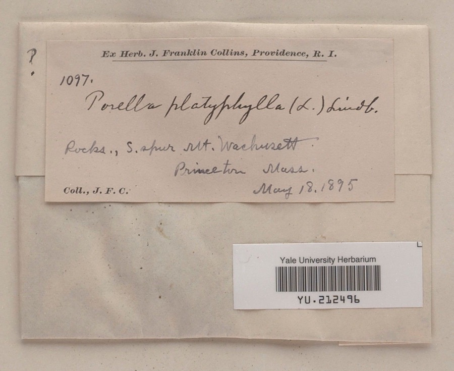 | Porella platyphylla (L.) Pfeiff. | 1895 | James F. Collins | South spur, Mount Wachusett |
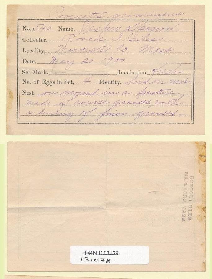 | Pooecetes gramineus gramineus (J.F.Gmelin, 1789) | 1900 | Roscoe I. Giles | |
 | Bartramia pomiformis Hedw. | 1839 | unknown | Barre |
 | Carex gracillima Schwein. | 1839 | M. S. Bebb | Barre |
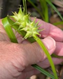 | Carex intumescens Rudge | 1839 | M. S. Bebb | Barre |
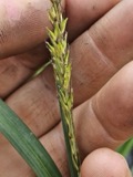 | Carex lacustris Willd. | 1839 | M. S. Bebb | Barre |
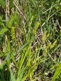 | Carex stipata Muhl. ex Willd. | 1839 | M. S. Bebb | Barre |
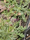 | Cirsium arvense (L.) Scop. | 1839 | M. S. Bebb | Barre |
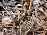 | Cypripedium acaule Aiton | 1839 | M. S. Bebb | Barre |
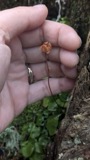 | Moneses uniflora (L.) A.Gray | 1893 | J. F. Collins | |
| Calyptospora goeppertiana J.G.Kühn | 1895 | not recorded | US, Massachusetts, Barre | |
| Vaccinium corymbosum L. | 1895 | not recorded | US, Massachusetts, Barre |
All 1,556 specimens within 10 miles, at the Global Biodiversity Information Facility.
Mines and quarries near this place
5 within 5 milesRegional context, not property-specific evidence. The federal mineral resources record lists 5 workings within 5 miles of Smithville: 4 past producers, 1 producer. 1 still produces. What was taken out: Sand and Gravel, Construction. Distance is straight-line from the map coordinates, so a quarry counted here may appear on a neighbouring settlement's page as well.
| Where | Site | Commodity | Status | Recorded |
|---|---|---|---|---|
| Browns Trucking | Sand and Gravel, Construction | Past Producer | Sedimentary | |
| E. J. Connors Pit | Sand and Gravel, Construction | Producer | ||
| Landfill Pit | Sand and Gravel, Construction | Past Producer | ||
| Legion Pit | Sand and Gravel, Construction | Past Producer | ||
| R Curtis Sand and Gravel | Sand and Gravel, Construction | Past Producer | Sedimentary |
Nearest settlements
The eight closest, with where each one stands in the county. Distances are straight-line, computed from the Geographic Names Information System coordinates.
| Map | Place | Distance | Sheets |
|---|---|---|---|
| Coldbrook Springs | 0.4 miles | 31 | |
| White Valley | 1.4 miles | 31 | |
| South Barre | 2.3 miles | 31 | |
| Barre Falls | 2.8 miles | 31 | |
| Oakham | 2.9 miles | 32 | |
| Heald Village | 3.1 miles | 31 | |
| Barre Plains | 3.2 miles | 31 | |
| New Boston | 3.3 miles | 46 |
Provenance
This settlement is recorded in the Geographic Names Information System as feature 617232. The sheet list is computed by point-in-boundary test against the United States Geological Survey's historical topographic inventory. Both are works of the United States government and carry no copyright under 17 U.S.C. 105.
Wildfire. Short, Karen C. 2022. Spatial wildfire occurrence data for the United States, 1992-2020 [FPA_FOD_20221014]. 6th Edition. Fort Collins, CO: Forest Service Research Data Archive. https://doi.org/10.2737/RDS-2013-0009.6 Collected with United States Government funding and usable without additional permissions or fees.
Specimens. Global Biodiversity Information Facility (GBIF), https://www.gbif.org/. Only records licensed CC0 or CC BY are used. Records licensed CC BY-NC are excluded because this site carries advertising. Images are checked individually and any whose licence is non-commercial, no-derivatives or unreadable is refused.
Mines and quarries. USGS Mineral Resources Data System (MRDS) https://mrdata.usgs.gov/mrds/ A work of the United States government, no copyright under 17 U.S.C. 105.