 Block
Block
South Webster, Ohio
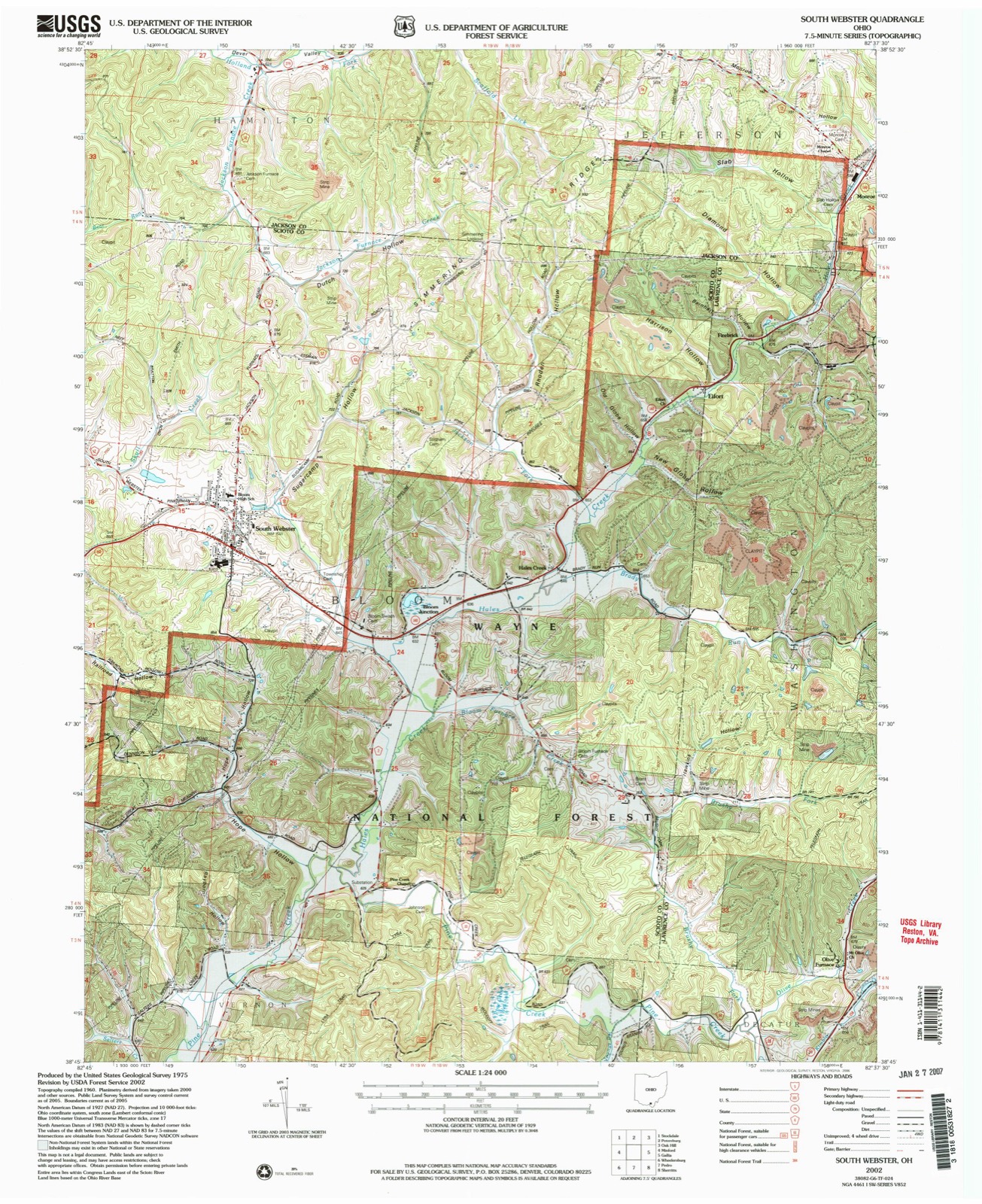
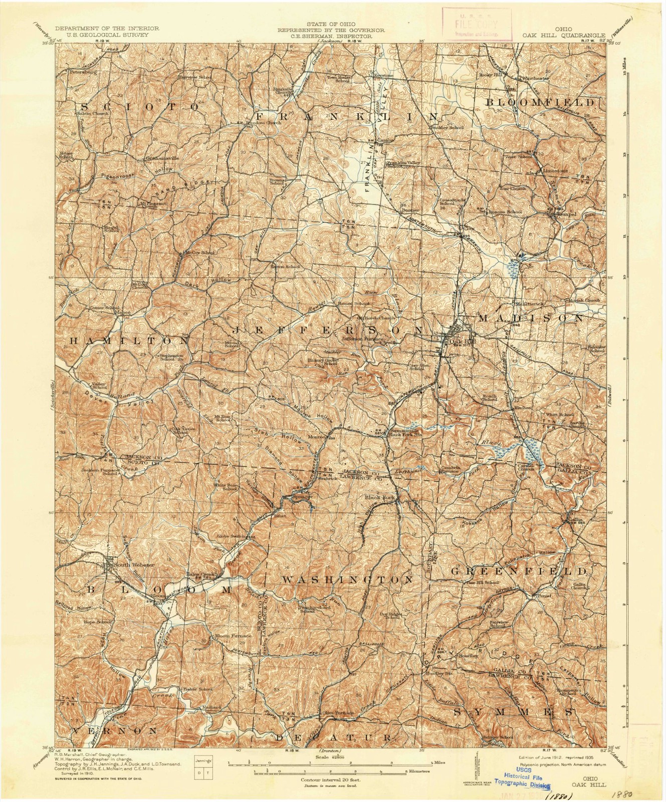
10 topographic sheets cover this place, the earliest surveyed in 1912 and the latest in 2002. It stands in Bloom Township. It lies in ZIP code area 45682. It lies in Sugar Camp Hollow. The Survey maps it on the South Webster quadrangle. 670 people lived here at the 2020 count. It stands 715 feet above sea level.
Population over time
2 figuresSouth Webster fell from 866 to 670 between 2010 and 2020. These are the recorded population figures Wikidata holds for this place, reached through the Geographic Names Information System number this page is keyed on rather than by name, so they belong to this place and not to another of the same name. Most are census counts, but not all are: an early figure may be a founding or settlement estimate. The change column is computed, and is left blank where more than 20 years separate a figure from the one before it, because a gap that long is not a change between two counts.
| Year | People | Change |
|---|---|---|
| 2010 | 866 | |
| 2020 | 670 | -196 (-23%) |
Then and now
1912 to 2002The same ground, surveyed 90 years apart. Drag the handle to wipe between them. Both sheets are United States Geological Survey originals; neither has been altered.
Compare 1912 against another survey:
Topographic sheets covering this place
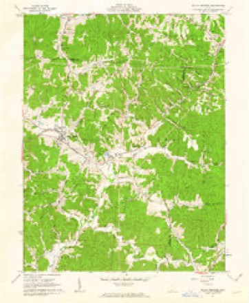
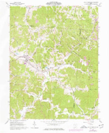
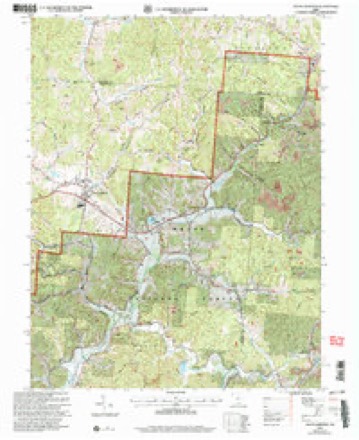
10 sheetsMatched by testing this settlement's coordinate against the published boundary of every sheet in the United States Geological Survey's historical collection. Each opens the scanned sheet at the Survey.
- 1912 USGS Oak Hill quadrangle1:62500
- 1912 USGS Oak Hill quadrangle1:62500
- 1957 USGS Huntington quadrangle1:250000
- 1957 USGS Huntington quadrangle1:250000
- 1957 USGS Huntington quadrangle1:250000
- 1960 USGS Huntington quadrangle1:250000
- 1961 USGS South Webster quadrangle1:24000
- 1961 USGS South Webster quadrangle1:24000
- 1981 USGS Ironton quadrangle1:100000
- 2002 USGS South Webster quadrangle1:24000
In the county-history sources
4,336 words on this townshipA History of Scioto County, Ohio,, published 1903 names this settlement in its chapter on Bloom Township. These are the passages that mention it, exactly as the scans read.
The Lime Coal Works at Eifort employ about 100 men; the brick plant at South Webster near 200 men and the Clay mines on Frederick 75 men; the Buckeye brick yard at Scioto Furnace 75 men and Bloom Furnace 100 men.
Passage source: A History of Scioto County, Ohio,, published 1903.
The Bloom Baptist Church located at South Webster was organized in 1830 at Bloom Switch, Ohio. Its present structure was built in 1859 on the corner of Tyrrel and Pearl streets. Its present pastor is Rev. R. R. Denny of Bidwell, Gallia County, Ohio. The building is worth $600.00. The membership is 75.
Passage source: A History of Scioto County, Ohio,, published 1903.
The M. E. Church was organized in 1826 by Rev. John R. Turner and Asa Ballinger. In 1853, its first building in South Webster was erected. Its large new building cost $2,000.00. The pastor is Rev. H. K. Wishon, who is traveling this circuit for the third year.
Passage source: A History of Scioto County, Ohio,, published 1903.
Machine-read from a century-old scan, so expect the errors a machine makes: misspelled names, dropped words, stray characters.
Read the whole chapter on Bloom Township - it names this place 3 more 3 times.
Fires near this place
51 since 2002Regional context, not property-specific evidence. The federal wildfire occurrence database lists 51 fires within 5 miles of South Webster between 2002 and 2020, burning about 407 acres in total. None started naturally. 7 were recorded as arson. Distance is straight-line from the map coordinates, so a fire counted here may appear on a neighbouring settlement's page as well.
| Reported cause | Fires |
|---|---|
| Missing data/not specified/undetermined | 25 |
| Debris and open burning | 13 |
| Arson/incendiarism | 7 |
| Smoking | 3 |
| Equipment and vehicle use | 2 |
| Recreation and ceremony | 1 |
The most recent of them, most recent first, with the day each was reported and the service that recorded it.
| Date | Cause | Size | Reported by | Name on the report |
|---|---|---|---|---|
| 30 August 2016 | Equipment and vehicle use | 1.0 acres | Ohio Department of Natural Resources | 5425 |
| 17 July 2020 | Smoking | under an acre | Ohio Department of Natural Resources | 15785 |
| 12 July 2018 | Equipment and vehicle use | under an acre | Wayne National Forest | 132 TRUCK |
| 24 June 2008 | Missing data/not specified/undetermined | 1.0 acres | Wayne National Forest | SPUR A FIRE |
| 17 June 2006 | Arson/incendiarism | 10 acres | Ohio Department of Natural Resources | not named |
| 11 May 2010 | Missing data/not specified/undetermined | 1.0 acres | Wayne National Forest | FALSE ALARM 04/11/10 |
| 7 April 2008 | Debris and open burning | under an acre | Ohio Department of Natural Resources | not named |
| 6 April 2004 | Missing data/not specified/undetermined | under an acre | Ohio Department of Natural Resources | not named |
Settlements close enough to share some of these fires:
Specimens collected near this place
12 of 130 shownRegional context, not property-specific evidence. Museums hold 130 specimens collected within 10 miles of South Webster between 1898 and 1975: 87 Fungi, 36 Animalia, 6 Plantae, 1 Protozoa. 12 distinct Species records are shown. Collected by Aschinger, H. (Henry), Bryant, J., Bryant, J.C. and others. Each is a physical object with a catalogue number, and each entry opens the museum's record. This is what was collected and kept, not a survey of what lives here - nothing can be concluded from a species being absent.
| Image | Species | Year | Collected by | Where, as recorded |
|---|---|---|---|---|
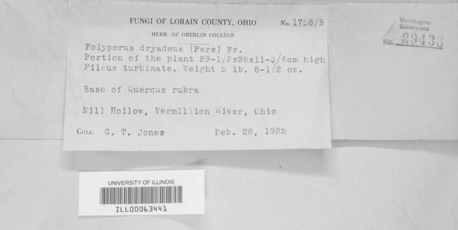 | Polyporus dryadeus (Pers.) Fr. | 1925 | G. T. Jones | Mill Hollow, Vermillion River |
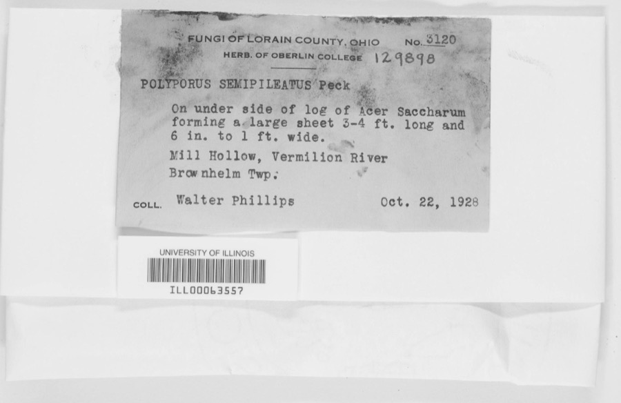 | Polyporus semipileatus Peck | 1928 | Walter Phillips | Mill Hollow, Vermillion River |
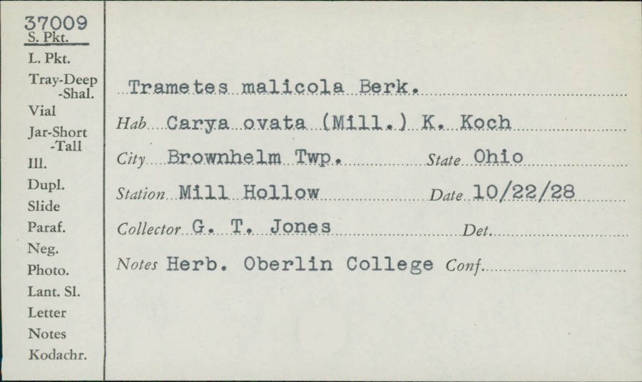 | Trametes malicola Berk. & M.A.Curtis | 1928 | G. T. Jones | Mill Hollow |
 | Planesticus Bonaparte, 1854 | 1898 | not recorded | South Webster, Ohio, USA |
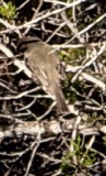 | Sayornis phoebe (Latham, 1790) | 1898 | Henninger, W. F. (Walther Frederick) | South Webster, Ohio, USA |
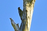 | Sphyrapicus varius (Linnaeus, 1766) | 1898 | not recorded | South Webster, Ohio, USA |
 | Baeolophus bicolor (Linnaeus, 1766) | 1899 | not recorded | South Webster, Ohio, USA |
 | Buteo jamaicensis borealis (Gmelin, 1788) | 1899 | not recorded | South Webster, Ohio, USA |
 | Cyanocitta cristata cristata (Linnaeus, 1758) | 1899 | Henninger, W. F. (Walther Frederick) | South Webster, Ohio, USA |
 | Dendroica castanea (A.Wilson, 1810) | 1899 | not recorded | South Webster, Ohio, USA |
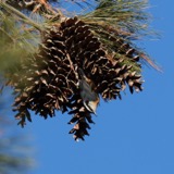 | Sitta canadensis Linnaeus, 1766 | 1899 | not recorded | South Webster, Ohio, USA |
 | Alternaria Nees | 1919 | Ricker A. J. | Wheelersburg |
All 130 specimens within 10 miles, at the Global Biodiversity Information Facility.
Mines and quarries near this place
2 within 5 milesRegional context, not property-specific evidence. The federal mineral resources record lists 2 workings within 5 miles of South Webster: 2 past producers. None of them still produces. What was taken out: Sand and Gravel, Construction. Distance is straight-line from the map coordinates, so a quarry counted here may appear on a neighbouring settlement's page as well.
| Where | Site | Commodity | Status | Recorded |
|---|---|---|---|---|
| South Webster Plant | Sand and Gravel, Construction | Past Producer | Sedimentary | |
| South Webster Plant | Sand and Gravel, Construction | Past Producer |
Storms near this place
18 since 2000Regional context, not property-specific evidence. The National Weather Service names South Webster in 18 storm reports between 2000 and 2025: 8 thunderstorm wind, 5 flash flood, 3 hail, 2 flood. No death or injury is recorded in these reports. Each account below is quoted exactly as the forecast office filed it, from the NOAA Storm Events Database, and each date opens the federal record of that event.
| When | Event | Place named | Harm | What the report says |
|---|---|---|---|---|
| May 2011 | Flash Flood | South Webster | $100,000 | A dozen cars were submerged on a road and water rescues were needed due to the heavy rainfall. |
| May 2011 | Flash Flood | South Webster | $70,000 | Water rescues were needed at several homes due to flash flooding. |
| May 2019 | Thunderstorm Wind | South Webster | $50,000 | Multiple trees and power lines were downed over a several block wide area. A hardware store roof was blown off. |
| May 2001 | Flash Flood | South Webster | $25,000 | Several people were evacuated due to high water. |
| April 2011 | Flash Flood | South Webster | $15,000 | Multiple roads were closed due to high water. The heavy rain caused the slippage of one road. |
| June 2014 | Thunderstorm Wind | South Webster | $10,000 | Three large trees were downed due to thunderstorm winds. One of the trees fell on a car. |
| February 2000 | Flash Flood | South Webster | $10,000 | Heavy rainfall caused flooding in the town of South Webster. Several families were evacuated due to the rising water. |
| June 2022 | Thunderstorm Wind | South Webster | $5,000 | A few trees were downed in the South Webster area. |
| April 2000 | Thunderstorm Wind | South Webster | $5,000 | Trees downed. |
| May 2004 | Thunderstorm Wind | South Webster | $4,000 | Twelve trees were downed. |
| June 2013 | Thunderstorm Wind | South Webster | $3,000 | Several trees were downed in the area due to thunderstorm winds. |
| April 2011 | Thunderstorm Wind | South Webster | $2,000 | Six trees were blown down due to damaging thunderstorm winds. |
| April 2011 | Flood | South Webster | $1,000 | A county road was flooded due to heavy rainfall. |
| February 2025 | Flood | South Webster | - | State Route 140 was closed due to high water. |
| May 2009 | Thunderstorm Wind | South Webster | - | Trees were knocked down. |
| May 2012 | Hail | South Webster | - | no account filed |
| May 2011 | Hail | South Webster | - | no account filed |
| July 2003 | Hail | South Webster | - | no account filed |
Nearest settlements
The eight closest, with where each one stands in the county. Distances are straight-line, computed from the Geographic Names Information System coordinates.
| Map | Place | Distance | Sheets |
|---|---|---|---|
| Edmunds Switch | 1.8 miles | 12 | |
| Bloom Junction | 1.9 miles | 10 | |
| Scioto Furnace | 2.3 miles | 12 | |
| Frederick | 2.7 miles | 12 | |
| Hales Creek | 2.7 miles | 10 | |
| Pinkerman | 2.8 miles | 12 | |
| Gephart | 4.0 miles | 12 | |
| Eifort | 4.2 miles | 10 |
Elsewhere
Matched on this settlement's Geographic Names Information System number rather than its name, so it cannot be a different place of the same name in another state.
| Wikipedia article on South Webster | An encyclopaedic summary. Its text is share-alike, so it is linked here rather than copied. |
| Wikidata item Q2228595 | The structured record the population and elevation above come from. Public domain (CC0). |
Provenance
This settlement is recorded in the Geographic Names Information System as feature 1084066. The sheet list is computed by point-in-boundary test against the United States Geological Survey's historical topographic inventory. Both are works of the United States government and carry no copyright under 17 U.S.C. 105.
Wildfire. Short, Karen C. 2022. Spatial wildfire occurrence data for the United States, 1992-2020 [FPA_FOD_20221014]. 6th Edition. Fort Collins, CO: Forest Service Research Data Archive. https://doi.org/10.2737/RDS-2013-0009.6 Collected with United States Government funding and usable without additional permissions or fees.
Specimens. Global Biodiversity Information Facility (GBIF), https://www.gbif.org/. Only records licensed CC0 or CC BY are used. Records licensed CC BY-NC are excluded because this site carries advertising. Images are checked individually and any whose licence is non-commercial, no-derivatives or unreadable is refused.
Mines and quarries. USGS Mineral Resources Data System (MRDS) https://mrdata.usgs.gov/mrds/ A work of the United States government, no copyright under 17 U.S.C. 105.
Storms. NOAA National Centers for Environmental Information, Storm Events Database https://www.ncei.noaa.gov/stormevents/ A work of the United States government, no copyright under 17 U.S.C. 105. Narratives are quoted verbatim from the National Weather Service report and are not edited or summarised.