 Block
Block
Staunton, Ohio
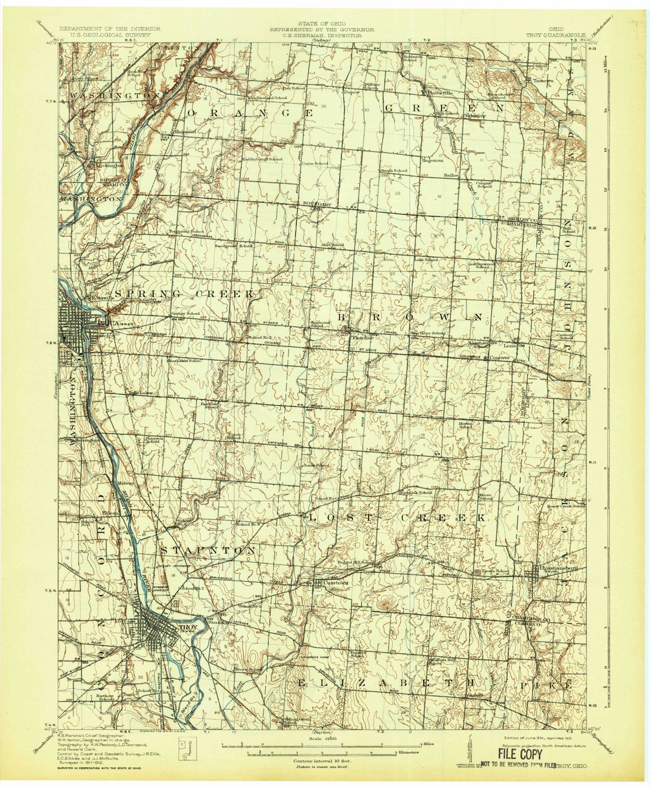
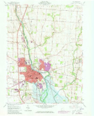
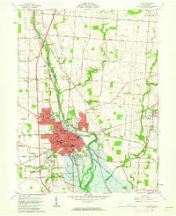
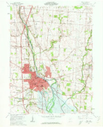
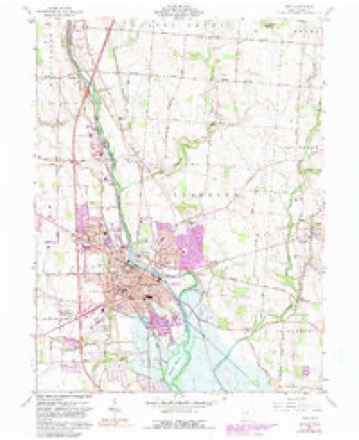
17 topographic sheets cover this place, the earliest surveyed in 1914 and the latest in 1986. It stands in Staunton Township. It lies in ZIP code area 45373. The Survey maps it on the Troy quadrangle.
Then and now
1914 to 1986The same ground, surveyed 72 years apart. Drag the handle to wipe between them. Both sheets are United States Geological Survey originals; neither has been altered.

Topographic sheets covering this place
17 sheetsMatched by testing this settlement's coordinate against the published boundary of every sheet in the United States Geological Survey's historical collection. Each opens the scanned sheet at the Survey.
- 1914 USGS Troy quadrangle1:62500
- 1914 USGS Troy quadrangle1:62500
- 1944 USGS Troy quadrangle1:62500
- 1953 USGS Muncie quadrangle1:250000
- 1953 USGS Muncie quadrangle1:250000
- 1953 USGS Muncie quadrangle1:250000
- 1953 USGS Muncie quadrangle1:250000
- 1953 USGS Muncie quadrangle1:250000
- 1956 USGS Muncie quadrangle1:250000
- 1961 USGS Troy quadrangle1:24000
- 1961 USGS Troy quadrangle1:24000
- 1961 USGS Troy quadrangle1:24000
- 1961 USGS Troy quadrangle1:24000
- 1961 USGS Troy quadrangle1:24000
- 1986 USGS Piqua quadrangle1:100000
- 1986 USGS Piqua quadrangle1:100000
- 1986 USGS Piqua quadrangle1:100000










What happened here
An account from the chapter on Staunton township, The inset identifies its exact source book and publication year.
The War Of 1812
During these times, the early settlers of Lost Creek Township were not wholly without fear. The outbreak of the seoond war with Great Britain was calculated to seriously interfere with their repose. The Indians were not far distant, and more than once, the pioneer and his little family cowered, as it were, in the shadows of the tomahawk.
In the county-history sources
29,341 words on this townshipMiami County Ohio Federal Population Census, published 1850; The History of Miami County, Ohio, published 1880 names this settlement in its chapter on Staunton Township. These are the passages that mention it, exactly as the scans read.
Sarah 25Ff David C. 2m Stilwell, Elizabeth 46f Martha 14f Joseph M. 12m Morris 9m Phebe M. 7f Benjamin 27m Shell, Wm. 56m Sarah 50Ff Thomas 23m Margaret 25f Mary 21f Elizabeth 18Ff Wm. 16m John 13m Jacob A. 11m George W. 8m Riddle, Jacob A. 49m Hope 30Ff Aseneth 12f Wm. 8m Joseph 5m George W 2m Stilwell, Mary 22f Stilwell, Elias 66m Elisabeth 59Ff Eleanor 28 Ff Daniel 25m Eliza J. 18f Elias 14m Elizabeth 13f Weatherhead, Abraham 29m Eleanor 26f Aidezera 6 Ff Melissa 4f Florence 2f Benjamin F. 1m Sarah oer Lennon, Eli 13m
Passage source: Miami County Ohio Federal Population Census, published 1850.
Inasmuch as Staunton was the first place of settlement permanently maintained in this county, and the nucleus around which all subsequent settlements clustered, and, by natural sequence, the starting-point and reservoir from which the greater portion of the earlier county history has been drawn, it was, therefore, unavoidably blended and absorbed in the same, leaving facts for an individual history almost as anaemic as King Psammis' mummy, in Caesar's reply to Clodius, over the Greek girl, Zoe. Staunton should not, therefore, be jealous or feel slighted if she loses the luster of individual history in the more exalted flame of the initial point of county history.
Passage source: The History of Miami County, Ohio, published 1880.
As has been said previously, the first settlements in Staunton Township were made by the Knoops and Michael Carver, who came from Pennsylvania in 1799. One year later, Carver purchased a half-section of J. C. Sy names, at $2.50 per acre. At this period, civilization had not yet reached this region, which for miles was one vast forest, inhabited only by straggling bands of Indians. There was a great spirit of rivalry manifested between this portion of the county and the upper part, in the location of the seat of justice, which was carried to such an extent as to sever the social ties in great part.
Passage source: The History of Miami County, Ohio, published 1880.
Machine-read from a century-old scan, so expect the errors a machine makes: misspelled names, dropped words, stray characters.
Read the whole chapter on Staunton Township - it names this place 36 more 36 times.
Specimens collected near this place
12 of 289 shownRegional context, not property-specific evidence. Museums hold 289 specimens collected within 10 miles of Staunton between 1835 and 1975: 256 Animalia, 19 Fungi, 9 Plantae, 3 Protozoa, 1 Unrecorded, 1 Chromista. 12 distinct Species records are shown. Collected by A V DEL, A. Gaufin, A. R. Gaufin and others. Each is a physical object with a catalogue number, and each entry opens the museum's record. This is what was collected and kept, not a survey of what lives here - nothing can be concluded from a species being absent.
| Image | Species | Year | Collected by | Where, as recorded |
|---|---|---|---|---|
 | Quercus macrocarpa Michx. | 1835 | Frank | |
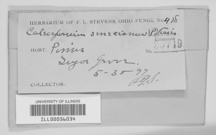 | unnamed | 1897 | F. L. Stevens | Sugar Grove. |
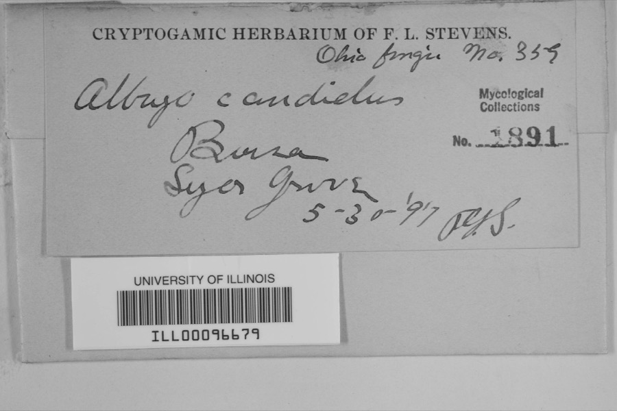 | Albugo candida (Pers. ex J.F.Gmel.) Roussel | 1897 | F.L. Stevens | Sugar Grove |
 | Carex albursina E.Sheld. | 1835 | Collector unknown | |
 | Carex emmonsii var. muhlenbergii (A.Gray ex Torrey) Rettig | 1835 | Collector unspecified | |
 | Gentianella quinquefolia subsp. occidentalis (A.Gray) J.M.Gillett | 1835 | Joseph C. Frank | Ohio, in ditione civitatis Miami |
 | Cercosporina apii (Fresen.) Miura | 1896 | Skinner C. W. | Troy |
| Marssonina panattoniana (Berl.) Magnus | 1896 | Skinner C. W. | Troy | |
 | Ceratiomyxa fruticulosa var. arbuscula (Berk. & Broome) Nann.-Bremek., 1975 | 1897 | Thaxter, R. | USA, Florida, Cocoanut Grove |
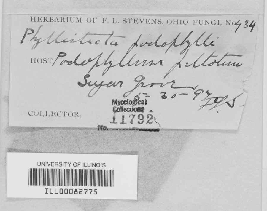 | Phyllosticta podophylli (M.A.Curtis) G.Winter | 1897 | F.L. Stevens | |
 | Lanius ludovicianus Linnaeus, 1766 | 1898 | Collector(s): L. Kumlein | Milton, Ohio |
 | Daedalea confragosa (Bolton) Pers. | 1906 | Fischer G. C. | Troy |
All 289 specimens within 10 miles, at the Global Biodiversity Information Facility.
Mines and quarries near this place
8 within 5 milesRegional context, not property-specific evidence. The federal mineral resources record lists 8 workings within 5 miles of Staunton: 5 past producers, 2 producers, 1 plant. 3 still produce. What was taken out: Sand and Gravel, Construction, Stone, Crushed/Broken, Clay, Limestone, General. Distance is straight-line from the map coordinates, so a quarry counted here may appear on a neighbouring settlement's page as well.
| Where | Site | Commodity | Status | Recorded |
|---|---|---|---|---|
| Hanover Pit | Clay | Producer | ||
| Tipp Stone Quarry | Stone, Crushed/Broken | Past Producer | ||
| Tipp Stone Quarry | Limestone, General | Past Producer | Sedimentary | |
| Eldean Pit | Sand and Gravel, Construction | Past Producer | Sedimentary | |
| Eldean Pit | Sand and Gravel, Construction | Producer | ||
| Tipp Pit and Mill | Sand and Gravel, Construction | Past Producer | ||
| Troy Pits | Sand and Gravel, Construction | Past Producer | Sedimentary | |
| Troy Plant & Pit | Sand and Gravel, Construction | Plant |
Nearest settlements
The eight closest, with where each one stands in the county. Distances are straight-line, computed from the Geographic Names Information System coordinates.
| Map | Place | Distance | Sheets |
|---|---|---|---|
| Meadowlawn | 0.6 miles | 17 | |
| Arbar Acres | 0.7 miles | 17 | |
| Stony Ridge | 0.8 miles | 17 | |
| Culbertson Heights | 0.8 miles | 17 | |
| Heritage Hill | 0.8 miles | 17 | |
| Hilltop Manor | 0.9 miles | 17 | |
| Cloverdale | 0.9 miles | 17 | |
| Northbrook | 0.9 miles | 17 |
Provenance
This settlement is recorded in the Geographic Names Information System as feature 1065378. The sheet list is computed by point-in-boundary test against the United States Geological Survey's historical topographic inventory. Both are works of the United States government and carry no copyright under 17 U.S.C. 105.
Specimens. Global Biodiversity Information Facility (GBIF), https://www.gbif.org/. Only records licensed CC0 or CC BY are used. Records licensed CC BY-NC are excluded because this site carries advertising. Images are checked individually and any whose licence is non-commercial, no-derivatives or unreadable is refused.
Mines and quarries. USGS Mineral Resources Data System (MRDS) https://mrdata.usgs.gov/mrds/ A work of the United States government, no copyright under 17 U.S.C. 105.