 Block
Block
Stewartsville, Ohio
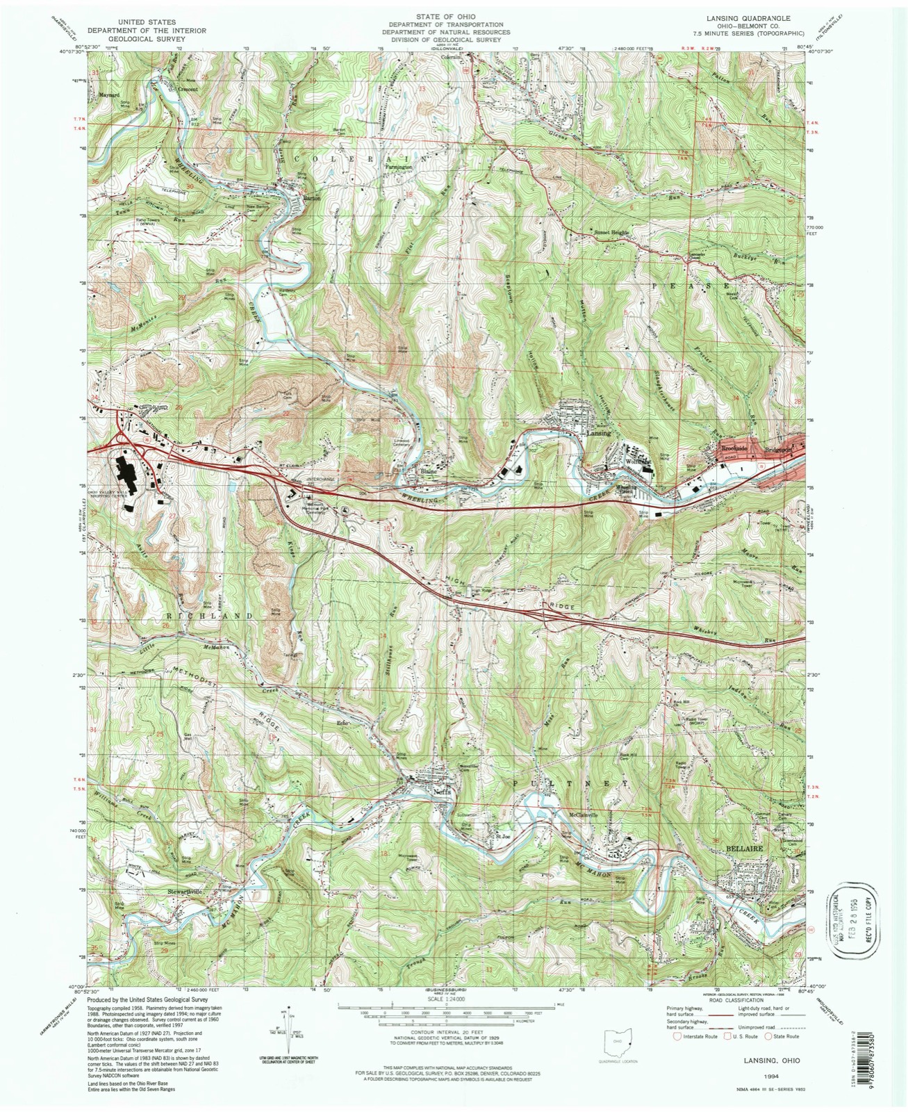
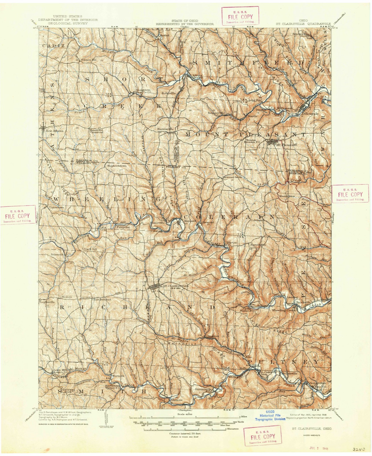
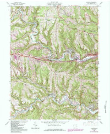
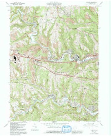
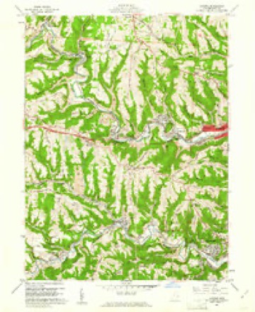
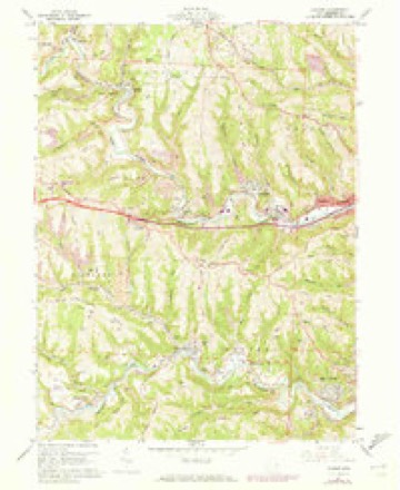
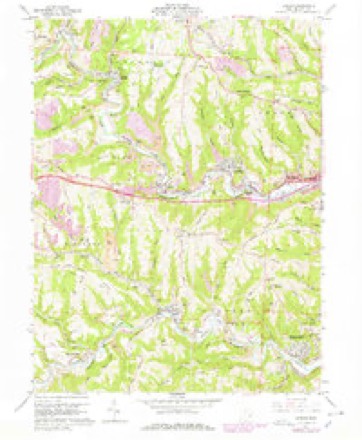
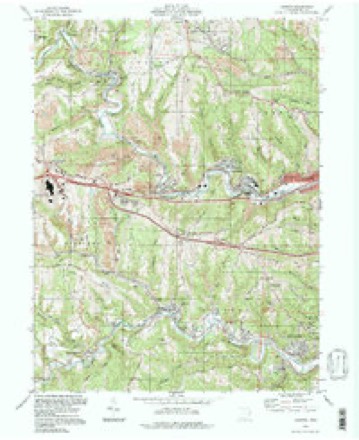
18 topographic sheets cover this place, the earliest surveyed in 1905 and the latest in 1994. It stands in Richland Township. It lies in ZIP code area 43933. It stands on Williams Creek. The Survey maps it on the Lansing quadrangle.
Then and now
1905 to 1994The same ground, surveyed 89 years apart. Drag the handle to wipe between them. Both sheets are United States Geological Survey originals; neither has been altered.
Compare 1905 against another survey:
Topographic sheets covering this place
18 sheetsMatched by testing this settlement's coordinate against the published boundary of every sheet in the United States Geological Survey's historical collection. Each opens the scanned sheet at the Survey.
- 1905 USGS St. Clairsville quadrangle1:62500
- 1905 USGS St. Clairsville quadrangle1:62500
- 1951 USGS Canton quadrangle1:250000
- 1953 USGS Canton quadrangle1:250000
- 1957 USGS Canton quadrangle1:250000
- 1957 USGS Canton quadrangle1:250000
- 1957 USGS Canton quadrangle1:250000
- 1960 USGS Lansing quadrangle1:24000
- 1960 USGS Lansing quadrangle1:24000
- 1960 USGS Lansing quadrangle1:24000
- 1960 USGS Lansing quadrangle1:24000
- 1960 USGS Lansing quadrangle1:24000
- 1962 USGS Canton quadrangle1:250000
- 1962 USGS Canton quadrangle1:250000
- 1986 USGS Pittsburgh West quadrangle1:100000
- 1986 USGS Pittsburgh West quadrangle1:100000
- 1986 USGS Pittsburgh West quadrangle1:100000
- 1994 USGS Lansing quadrangle1:24000







What happened here
An account from the chapter on Richland township, The inset identifies its exact source book and publication year.
Chapter Xxvii
ORO EN A P M de e nr. ae uer peste RE Na TEE A a cin lh cr nf ll ors The First Election - The Battle of Captina - The First Squatters - An Indian Village - Another Indian Massacre - The Early Mills and Distilleries - Township Officials and Population - Powhatan - Town Officials - The Flour Mills - The Sehools - The Churches - Free Masons - The Ferries.
In the county-history sources
77,421 words on this townshipCentennial History of Belmont County, Ohio, and Representative Citizens., published 1903; 1903 Centennial History of Belmont County, Ohio, and Representative Citizens, published 1903 names this settlement in its chapter on Richland Township. These are the passages that mention it, exactly as the scans read.
Stewartsville is a railway station and coal mining town on the line of the Baltimore & Ohio Railroad, between six and seven miles west of Bellaire. It was named after John Stewart, of the late firm of Stewart & Mehan, and one of the proprietors of the Franklin mines which were organized in 1868. While the struggling mining towns of Stewartsville and St. Clairsville Junction, the latter in Pultney township, are not incorporated they have an aggregate population of 2,500, largely miners employed at the Troll, Franklin and Empire coal mines.
Passage source: Centennial History of Belmont County, Ohio, and Representative Citizens., published 1903.
The Indians in .the camp hearing the finng at the house sent a canoe with two men in it to inquire what had happened. These two Indians were both shot down as soon as they landed on the beach. A second and larger canoe was then manned with a number of Indians in arms; but in attempting to reach the shore some distance below the house were received by a well directed fire from the party, which killed the greater number of them and compelled the survivors to return. A great number of shots were exchanged across the river, but without damage to the white party, not one of whom were even wounded. The Indian men who were murdered were all scalped. The woman who gave the friendly advice to the commander of the men in the Indian camp was among the slain at Baker's house.
Passage source: 1903 Centennial History of Belmont County, Ohio, and Representative Citizens, published 1903.
Machine-read from a century-old scan, so expect the errors a machine makes: misspelled names, dropped words, stray characters.
Fires near this place
13 since 2002Regional context, not property-specific evidence. The federal wildfire occurrence database lists 13 fires within 5 miles of Stewartsville between 2002 and 2020, burning about 21 acres in total. 1 started naturally. 1 was recorded as arson. Distance is straight-line from the map coordinates, so a fire counted here may appear on a neighbouring settlement's page as well.
| Reported cause | Fires |
|---|---|
| Debris and open burning | 8 |
| Missing data/not specified/undetermined | 2 |
| Natural | 1 |
| Recreation and ceremony | 1 |
| Arson/incendiarism | 1 |
The most recent of them, most recent first, with the day each was reported and the service that recorded it.
| Date | Cause | Size | Reported by | Name on the report |
|---|---|---|---|---|
| 26 July 2002 | Natural | under an acre | Ohio State Fire Marshal's Office | not named |
| 9 April 2019 | Debris and open burning | under an acre | Ohio Department of Natural Resources | 15137 |
| 8 March 2020 | Debris and open burning | 1.5 acres | Ohio Department of Natural Resources | 15448 |
| 30 March 2020 | Recreation and ceremony | under an acre | Ohio Department of Natural Resources | 15559 |
| 23 March 2017 | Debris and open burning | 5.0 acres | Ohio Department of Natural Resources | 7469 |
| 20 March 2019 | Arson/incendiarism | 2.0 acres | Ohio Department of Natural Resources | 15011 |
| 20 March 2015 | Debris and open burning | under an acre | Ohio Department of Natural Resources | 521 |
| 14 March 2014 | Missing data/not specified/undetermined | under an acre | Ohio Department of Natural Resources | not named |
Settlements close enough to share some of these fires:
Specimens collected near this place
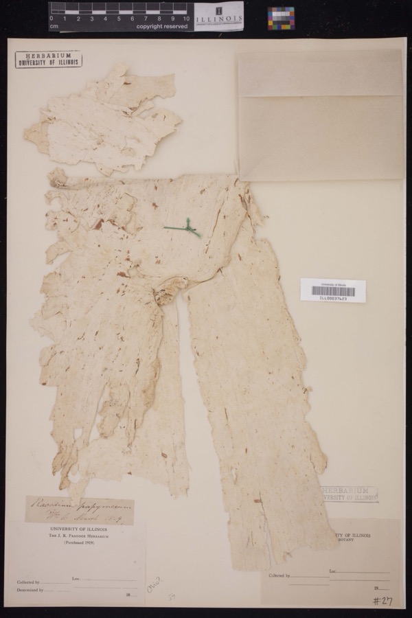
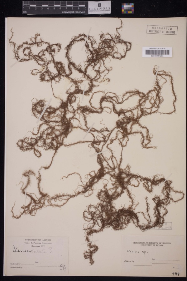
12 of 1,458 shownRegional context, not property-specific evidence. Museums hold 1,458 specimens collected within 10 miles of Stewartsville between 1800 and 1975: 1,081 Plantae, 239 Animalia, 136 Fungi, 2 Unrecorded. 12 distinct Species records are shown. Collected by A. D. Selby, A. D. Selby & E. L. Moseley, A. D. Selby & J. F. Hicks and others. Each is a physical object with a catalogue number, and each entry opens the museum's record. This is what was collected and kept, not a survey of what lives here - nothing can be concluded from a species being absent.
| Image | Species | Year | Collected by | Where, as recorded |
|---|---|---|---|---|
 | Racodium E.M.Fries, 1829 | 1829 | J.R. Paddock | |
 | Usnea Dill. ex Adans., 1763 | 1839 | J.R. Paddock | |
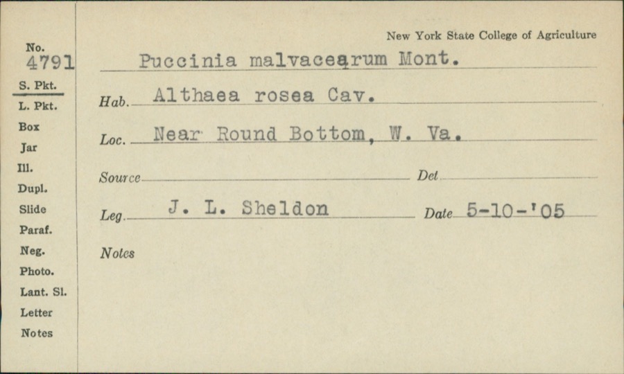 | Puccinia malvacearum Bertero ex Mont. | 1905 | J.L. Sheldon | Near Round Bottom |
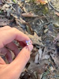 | Houstonia caerulea L. | 1800 | Guttenberg, G. | near Wheeling |
 | Robinia L. | 1829 | Guttenberg, G. | Wheeling |
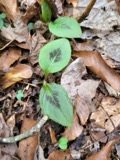 | Persicaria virginiana (L.) Gaertn. | 1835 | E. Wilkinson | Ohio |
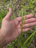 | Carex sparganioides Muhl. ex Willd. | 1837 | B. Frank | Ohio |
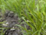 | Carex × sullivantii Boott | 1842 | W. S. Sullivant | Ohio |
 | Homalothecium subcapillatum (Hedw.) Sull. | 1843 | D. Sullivan | |
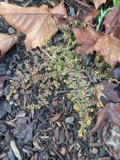 | Euphorbia maculata L. | 1844 | S. B. Mead | Ohio |
 | Jungermannia sullivantii Austin | 1844 | W. S. Sullivant | |
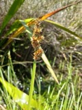 | Carex gracilescens Steud. | 1847 | G. B. Ashcroft | Ohio |
All 1,458 specimens within 10 miles, at the Global Biodiversity Information Facility.
Storms near this place
4 since 2019Regional context, not property-specific evidence. The National Weather Service names Stewartsville in 4 storm reports between 2019 and 2023: 2 flash flood, 2 thunderstorm wind. No death or injury is recorded in these reports. Each account below is quoted exactly as the forecast office filed it, from the NOAA Storm Events Database, and each date opens the federal record of that event.
| When | Event | Place named | Harm | What the report says |
|---|---|---|---|---|
| July 2019 | Flash Flood | Stewartsville | $10,000 | The local emergency manger reported a man stuck in a trailer due to flooding. |
| July 2019 | Flash Flood | Stewartsville | $5,000 | The local emergency manager reported Willow Grove Road closed due to flooding. |
| August 2023 | Thunderstorm Wind | Stewartsville | $1,000 | Trees and power lines down in Stewartsville, OH. |
| August 2023 | Thunderstorm Wind | Stewartsville | $1,000 | Report of trees and power lines down southeast of St.Clairsville, OH. |
Nearest settlements
The eight closest, with where each one stands in the county. Distances are straight-line, computed from the Geographic Names Information System coordinates.
Elsewhere
Matched on this settlement's Geographic Names Information System number rather than its name, so it cannot be a different place of the same name in another state.
| Wikipedia article on Stewartsville | An encyclopaedic summary. Its text is share-alike, so it is linked here rather than copied. |
| Wikidata item Q22394920 | The structured record the population and elevation above come from. Public domain (CC0). |
Provenance
This settlement is recorded in the Geographic Names Information System as feature 1058046. The sheet list is computed by point-in-boundary test against the United States Geological Survey's historical topographic inventory. Both are works of the United States government and carry no copyright under 17 U.S.C. 105.
Wildfire. Short, Karen C. 2022. Spatial wildfire occurrence data for the United States, 1992-2020 [FPA_FOD_20221014]. 6th Edition. Fort Collins, CO: Forest Service Research Data Archive. https://doi.org/10.2737/RDS-2013-0009.6 Collected with United States Government funding and usable without additional permissions or fees.
Specimens. Global Biodiversity Information Facility (GBIF), https://www.gbif.org/. Only records licensed CC0 or CC BY are used. Records licensed CC BY-NC are excluded because this site carries advertising. Images are checked individually and any whose licence is non-commercial, no-derivatives or unreadable is refused.
Storms. NOAA National Centers for Environmental Information, Storm Events Database https://www.ncei.noaa.gov/stormevents/ A work of the United States government, no copyright under 17 U.S.C. 105. Narratives are quoted verbatim from the National Weather Service report and are not edited or summarised.