 Block
Block
Streetsboro, Ohio
14 topographic sheets cover this place, the earliest surveyed in 1906 and the latest in 1994. It stands in Streetsboro City. It lies in ZIP code area 44241. The Survey maps it on the Kent quadrangle. 17,260 people lived here at the 2020 count. It stands 1,132 feet above sea level.
Population over time
2 figuresStreetsboro grew from 16,028 to 17,260 between 2010 and 2020. These are the recorded population figures Wikidata holds for this place, reached through the Geographic Names Information System number this page is keyed on rather than by name, so they belong to this place and not to another of the same name. Most are census counts, but not all are: an early figure may be a founding or settlement estimate. The change column is computed, and is left blank where more than 20 years separate a figure from the one before it, because a gap that long is not a change between two counts.
| Year | People | Change |
|---|---|---|
| 2010 | 16,028 | |
| 2020 | 17,260 | +1,232 (+8%) |
Then and now
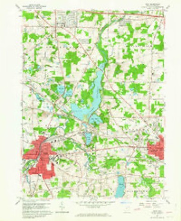
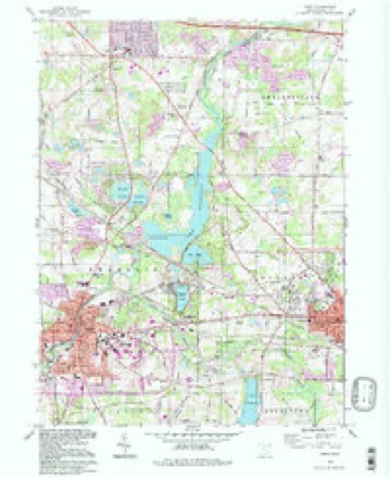
1906 to 1994The same ground, surveyed 88 years apart. Drag the handle to wipe between them. Both sheets are United States Geological Survey originals; neither has been altered.
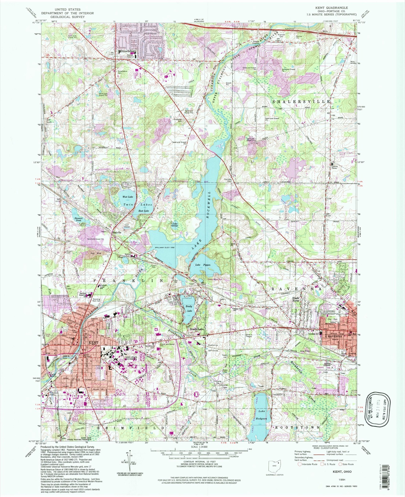
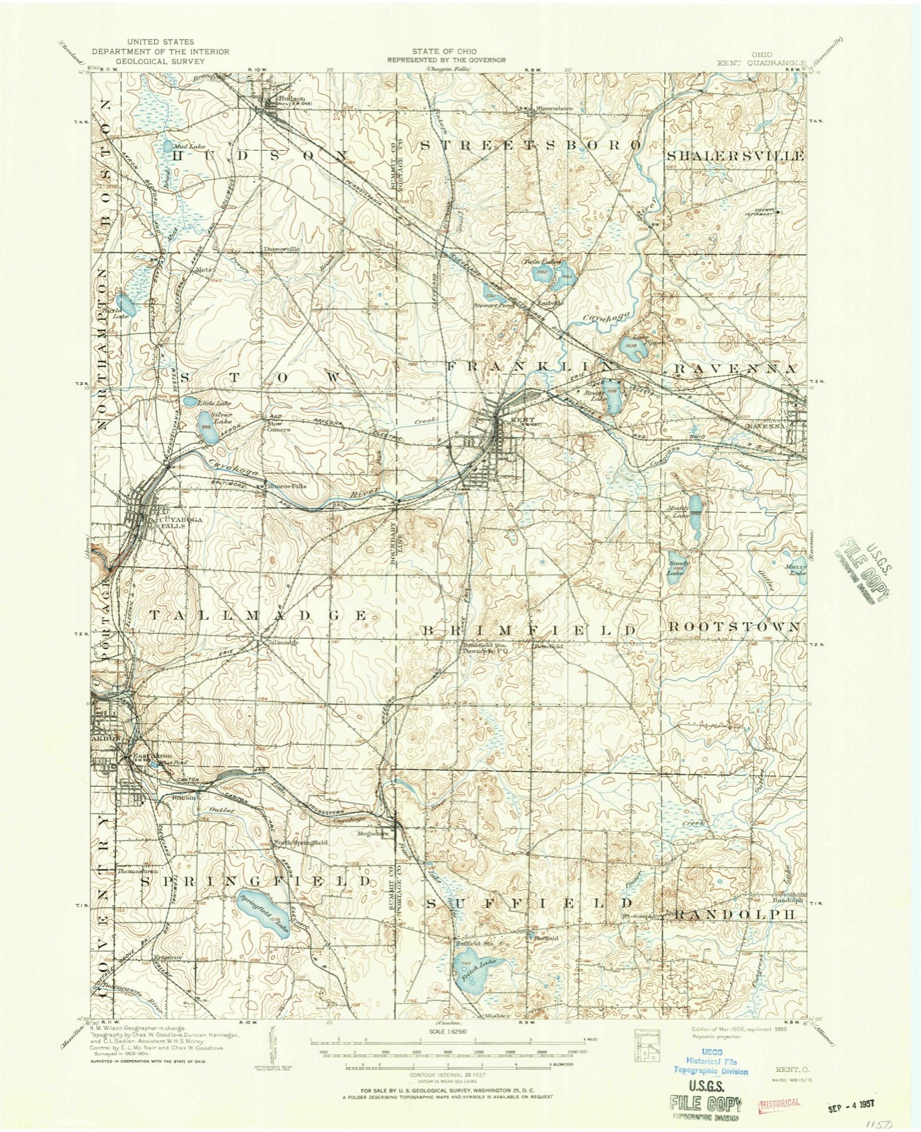
Compare 1906 against another survey:
Topographic sheets covering this place
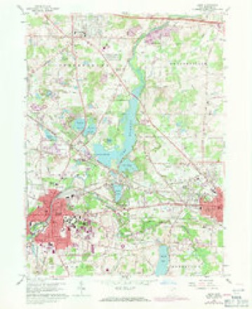
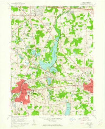
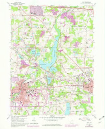
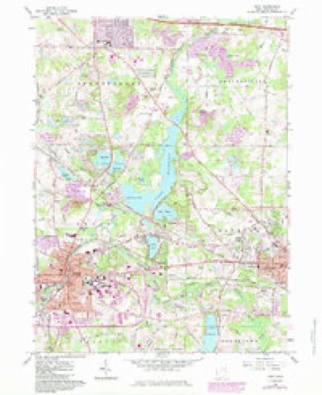
14 sheetsMatched by testing this settlement's coordinate against the published boundary of every sheet in the United States Geological Survey's historical collection. Each opens the scanned sheet at the Survey.
- 1906 USGS Kent quadrangle1:62500
- 1906 USGS Kent quadrangle1:62500
- 1956 USGS Cleveland quadrangle1:250000
- 1956 USGS Cleveland quadrangle1:250000
- 1956 USGS Cleveland quadrangle1:250000
- 1960 USGS Kent quadrangle1:24000
- 1960 USGS Kent quadrangle1:24000
- 1960 USGS Kent quadrangle1:24000
- 1960 USGS Kent quadrangle1:24000
- 1960 USGS Kent quadrangle1:24000
- 1962 USGS Cleveland quadrangle1:250000
- 1986 USGS Cleveland South quadrangle1:100000
- 1994 USGS Cleveland South quadrangle1:100000
- 1994 USGS Kent quadrangle1:24000






In the county-history sources
3,953 words on this townshipHistory of Portage County, Ohio, published 1885 names this settlement in its chapter on Streetsboro City. These are the passages that mention it, exactly as the scans read.
Streetsboro was the last township organized in the county, leaving Garrettsville out of the enumeration. It was, in 1800, made a portion of Hudson, now a township of Summit County, and so remained until 1806, when it became a portion of Aurora, under whose convoy it sailed till 1821, when Aurora cut loose from it, and Mantua took it under her wing and kept her safely there till 1827, when the township thought herself big enough to go alone, which she has done, and with credit to herself, too, standing for years No. 1 in the manufactiire of cheese, and high in other products.
Passage source: History of Portage County, Ohio, published 1885.
The Overseers of the Poor, who more properly should have been termed the Rooters-out of the Poor, were very efficient officers, and were determined that Streetsboro should have no poor to oversee; so, accordingly, three days after the election of those officials, they issued an order to Constable Thomas to notify James Walker and family to leave the township, to which they paid no attention, but a second order being served some time afterward on Walker, accompanied by the information that if he did not wish himself and family to be put up for sale to the highest bidder, they quickly took themselves off. In 1829 Erastus Smith and family, and in 1830 Atlander Eddy and family, were ordered to vacate the sacred soil of Streetsboro. One old woman, Sally Fleming, would not leave, so they put her up on the block and sold her for $12 for two months. This was March 1, 1831. In 1832, January 11, Justus VVelen, was ordered to leaVe; on the 12th, Micah Richardson and family, and on the 17th Julius Granger and his daughter Almira were notified. About the same time Mrs. Catharine Dexter and family, and William Beeman, received their walking papers. Where the poor people came from, and what their condition was, doth not now appear, but no drones were wanted in the Streetsboro hive.
Passage source: History of Portage County, Ohio, published 1885.
It has already been stated that through the wise foresight and liberality of Titns Street, the road from Cleveland to Wellsville was constructed through Streetsboro, he contributing largely in land for that purpose. The road was the first extensive thoroughfare through this section, and was the route over which the famous old mail carrier and contractor, Jabez Gilbert, of Palmyra, familiarly known as "Moses Jabe," and "Old Mose," passed over, an account of whom and his exploits may be found in the chapter on Palmyra. Street gave an acre of ground at each corner of the Center, exclusive of the roads for a public square, and a stone was placed in the center thereof, to designate the exact center of the township. He also donated two aci'es a short distance south of the Center for a burial ground, and gave $60 to have it and the public square cleared off.
Passage source: History of Portage County, Ohio, published 1885.
Machine-read from a century-old scan, so expect the errors a machine makes: misspelled names, dropped words, stray characters.
Read the whole chapter on Streetsboro City - it names this place 2 more 2 times.
Photographs
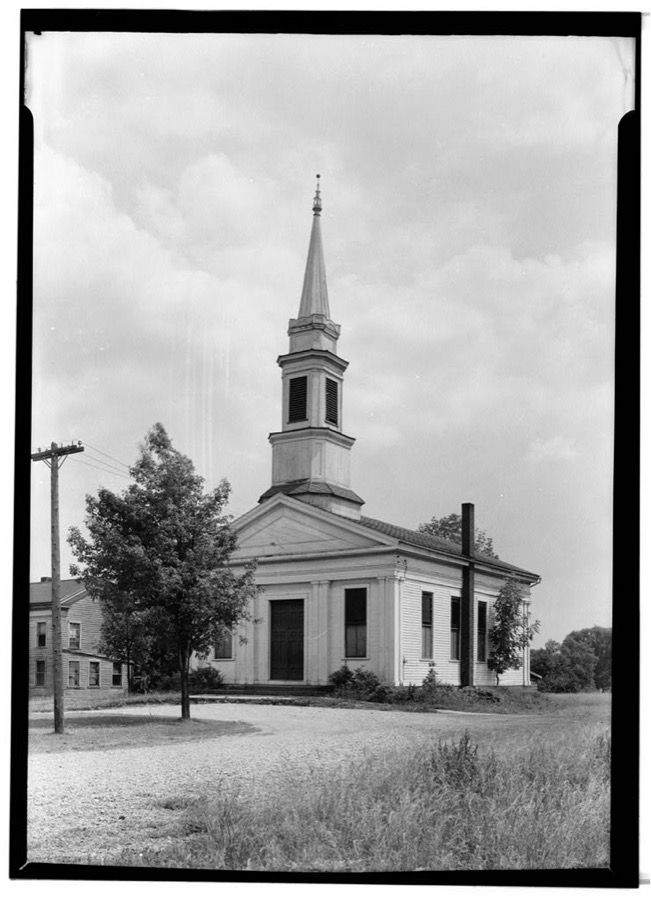
1 photograph,Taken for the Office of War Information and the Farm Security Administration, who photographed the country between 1935 and 1944. Works of United States government photographers, with no known restriction on use. Each opens its catalogue record.
Unattributed, . Library of Congress
Specimens collected near this place
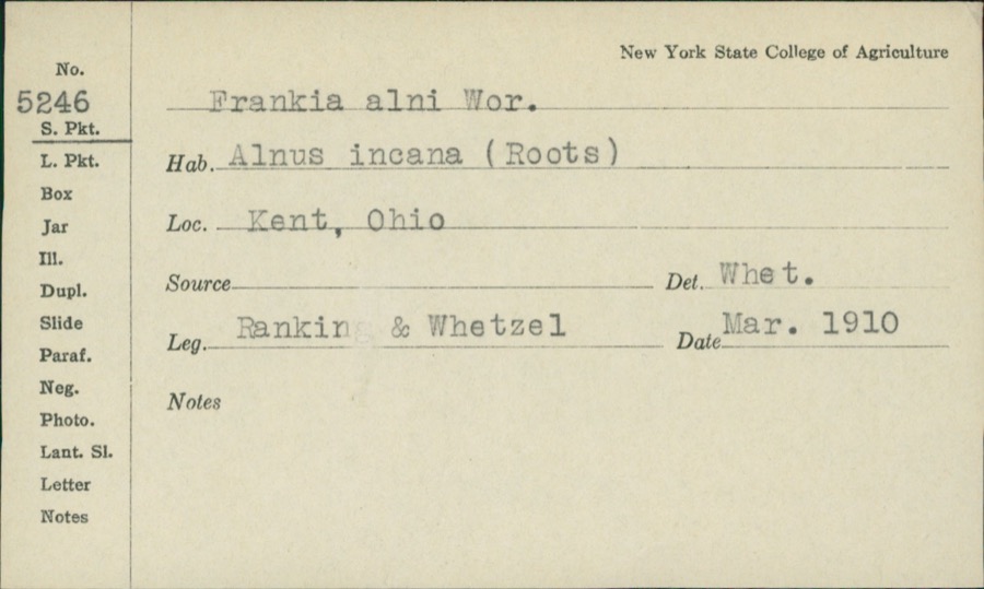
12 of 1,013 shownRegional context, not property-specific evidence. Museums hold 1,013 specimens collected within 10 miles of Streetsboro between 1883 and 1975: 729 Animalia, 247 Plantae, 31 Fungi, 4 Unrecorded, 1 Protozoa, 1 Bacteria. 12 distinct Species records are shown. Collected by A. D. Huryn, A. F. Clewell, A. Woolman and others. Each is a physical object with a catalogue number, and each entry opens the museum's record. This is what was collected and kept, not a survey of what lives here - nothing can be concluded from a species being absent.
| Image | Species | Year | Collected by | Where, as recorded |
|---|---|---|---|---|
 | Frankiella alni (Woronin) Maire & A.Tison | 1910 | Rankin; H.H. Whetzel | |
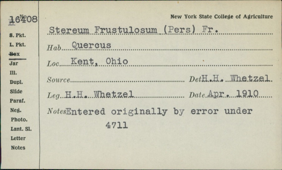 | Stereum frustulatum (Pers.) Fr. | 1910 | H.H. Whetzel | |
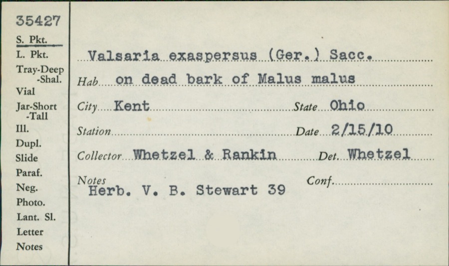 | Valsaria exasperans (W.R.Gerard) Sacc. | 1910 | Whetzel; Rankin | |
 | Colaptes auratus luteus Bangs, 1898 | 1883 | John C. Catlin | Ravenna |
 | Dolichonyx oryzivorus (Linnaeus, 1758) | 1883 | John C. Catlin | Ravenna |
 | Glaucomys volans volans (Linnaeus, 1758) | 1889 | C. P. Streator | Ravenna |
 | Ambloplites rupestris (Rafinesque, 1817) | 1893 | A. Woolman | Cuyahoga River, Kent, Ohio |
 | Cambarus propinquus Girard, 1852 | 1893 | Woolman | Cuyahoga River, Kent |
 | Catostomus commersonii (Lacepède, 1803) | 1893 | A. Woolman | Cuyahoga River, Kent, Ohio |
 | Esox americanus vermiculatus Lesueur, 1846 | 1893 | A. Woolman | Cuyahoga River, Kent, Ohio |
 | Etheostoma blennioides Rafinesque, 1819 | 1893 | A. Woolman | Kent, Ohio |
 | Etheostoma nigrum Rafinesque, 1820 | 1893 | A. Woolman | Cuyahoga River, Kent, Ohio |
All 1,013 specimens within 10 miles, at the Global Biodiversity Information Facility.
Mines and quarries near this place
10 of 15 shownRegional context, not property-specific evidence. The federal mineral resources record lists 15 workings within 5 miles of Streetsboro: 10 producers, 3 past producers, 2 plants. 12 still produce. What was taken out: Sand and Gravel, Construction. Distance is straight-line from the map coordinates, so a quarry counted here may appear on a neighbouring settlement's page as well.
| Where | Site | Commodity | Status | Recorded |
|---|---|---|---|---|
| Becks Pit | Sand and Gravel, Construction | Producer | ||
| General Pit | Sand and Gravel, Construction | Producer | ||
| Hilltop Sand and Gravel Pit | Sand and Gravel, Construction | Past Producer | Sedimentary | |
| Howitt Plant & Pit | Sand and Gravel, Construction | Plant | ||
| Hugo Sand Co. Dredge | Sand and Gravel, Construction | Producer | ||
| Jefferson Materials Company Pit | Sand and Gravel, Construction | Past Producer | Sedimentary | |
| Karl Brugmann Sand and Gravel Pit | Sand and Gravel, Construction | Producer | ||
| Lakeside Sand and Gravel Pit | Sand and Gravel, Construction | Producer | ||
| R.A. Cruise Sand and Gravel Pit | Sand and Gravel, Construction | Producer | ||
| Shalerville Sand & Gravel | Sand and Gravel, Construction | Plant |
Storms near this place
30 since 1996Regional context, not property-specific evidence. The National Weather Service names Streetsboro in 30 storm reports between 1996 and 2022: 15 thunderstorm wind, 12 hail, 3 flash flood. No death or injury is recorded in these reports. Each account below is quoted exactly as the forecast office filed it, from the NOAA Storm Events Database, and each date opens the federal record of that event.
| When | Event | Place named | Harm | What the report says |
|---|---|---|---|---|
| July 2013 | Flash Flood | Streetsboro | $90,000 | Flooding was significant across the Streetsboro community on the evening of July 10th. Some of the roads that were flooded included Route 303, Russell Drive, Luke Drive, portions of Camelot Village and Fronek Road. Over a dozen cars were caught in the flood waters, and one family had to be rescued after being swept off the road and into a creek. The intensity of the rain caused several building alarms set off by high water and some traffic signals out. A nearby rain gauge measured 3.25 inches from the storm, however this rain fell quickly onto saturated ground cover. Updated storm drainage systems supported most of the runoff which reduced impacts to homes and businesses. |
| August 2011 | Hail | Streetsboro | $40,000 | Quarter to golf ball sized hail was observed. Several vehicles were damaged by the hail. |
| June 2000 | Thunderstorm Wind | Streetsboro | $30,000 | Thunderstorm winds downed many trees. Two homes were damaged by fallen trees and a small shed was crushed by another tree. |
| July 2019 | Thunderstorm Wind | Streetsboro | $25,000 | A roof was blown a business on State Route 14. A picture was sent in from social media. |
| June 2011 | Thunderstorm Wind | Streetsboro | $20,000 | Thunderstorm winds toppled several trees. A home also lost a large section of siding on one wall. A couple streets were blocked by fallen trees. |
| June 1996 | Flash Flood | Streetsboro | $20,000 | no account filed |
| July 2016 | Thunderstorm Wind | Streetsboro | $15,000 | Thunderstorm winds downed a few trees across the town. |
| July 2003 | Hail | Streetsboro | $15,000 | Golf ball size hail was observed. Several cars were damaged. |
| June 2010 | Thunderstorm Wind | Streetsboro | $10,000 | Thunderstorm winds damaged a building. |
| July 2010 | Thunderstorm Wind | Streetsboro | $10,000 | Thunderstorm winds downed several large trees near State Route 303 and Diagonal Road. |
| June 2022 | Thunderstorm Wind | Streetsboro | $5,000 | Trained spotter estimated a 70 mph peak wind gust in Streetsboro. Numerous trees were downed, a couple fences were blown over, and several homes suffered minor siding damage. |
| July 2012 | Hail | Streetsboro | $5,000 | Half dollar sized hail was observed. |
| September 1996 | Thunderstorm Wind | Streetsboro | $5,000 | no account filed |
| June 2007 | Thunderstorm Wind | Streetsboro | $3,000 | Several trees were reported down. |
| July 2003 | Hail | Streetsboro | $2,000 | Nickel size hail was observed. |
| November 1998 | Thunderstorm Wind | Streetsboro | $2,000 | Trees were downed. |
| August 1996 | Thunderstorm Wind | Streetsboro | $2,000 | no account filed |
| June 2022 | Hail | Streetsboro | - | Hail up to quarter-size in Streetsboro. |
| July 2020 | Thunderstorm Wind | Streetsboro | - | Multiple trees damaged along a path from two miles WNW of Streetsboro to one mile east of Streetsboro. |
| July 2019 | Thunderstorm Wind | Streetsboro | - | A large pine tree fell onto electrical wires. |
| May 2018 | Thunderstorm Wind | Streetsboro | - | A trained spotter measured a 58 mph thunderstorm wind gust west of Streetsboro along State Route 303. |
| June 2017 | Hail | Streetsboro | - | Penny sized hail was observed. |
| July 2016 | Thunderstorm Wind | Streetsboro | - | Nickel to quarter sized hail was observed. |
| July 2012 | Hail | Streetsboro | - | Nickel sized hail was observed. |
| May 2011 | Hail | Streetsboro | - | Penny sized hail was observed. |
| May 2011 | Flash Flood | Streetsboro | - | Several days of heavy rain set the stage for additional flooding on the 14th. Heavy rain with rates over an inch per hour resulted in flash flooding over portions of Portage County. Several roads had to be closed near Streetsboro including RT 303. |
| June 2008 | Hail | Streetsboro | - | Penny to nickel size hail was observed. |
| April 2006 | Hail | Streetsboro | - | Penny size hail was observed. |
| June 2004 | Hail | Streetsboro | - | Penny size hail was observed. |
| June 1996 | Hail | Streetsboro | - | no account filed |
Nearest settlements
The eight closest, with where each one stands in the county. Distances are straight-line, computed from the Geographic Names Information System coordinates.
| Map | Place | Distance | Sheets |
|---|---|---|---|
| Lakeside Terrace | 1.4 miles | 14 | |
| Camelot Village | 1.7 miles | 17 | |
| Doolittles Corners | 2.2 miles | 14 | |
| Sugar Bush Knolls | 2.4 miles | 14 | |
| Twin Lakes | 2.6 miles | 14 | |
| Moran | 2.8 miles | 15 | |
| Freedom Dam | 3.3 miles | 14 | |
| Earlville | 3.6 miles | 14 |
Elsewhere
Matched on this settlement's Geographic Names Information System number rather than its name, so it cannot be a different place of the same name in another state.
| Wikipedia article on Streetsboro | An encyclopaedic summary. Its text is share-alike, so it is linked here rather than copied. |
| Wikidata item Q959409 | The structured record the population and elevation above come from. Public domain (CC0). |
Provenance
This settlement is recorded in the Geographic Names Information System as feature 1061212. The sheet list is computed by point-in-boundary test against the United States Geological Survey's historical topographic inventory. Both are works of the United States government and carry no copyright under 17 U.S.C. 105.
Specimens. Global Biodiversity Information Facility (GBIF), https://www.gbif.org/. Only records licensed CC0 or CC BY are used. Records licensed CC BY-NC are excluded because this site carries advertising. Images are checked individually and any whose licence is non-commercial, no-derivatives or unreadable is refused.
Mines and quarries. USGS Mineral Resources Data System (MRDS) https://mrdata.usgs.gov/mrds/ A work of the United States government, no copyright under 17 U.S.C. 105.
Storms. NOAA National Centers for Environmental Information, Storm Events Database https://www.ncei.noaa.gov/stormevents/ A work of the United States government, no copyright under 17 U.S.C. 105. Narratives are quoted verbatim from the National Weather Service report and are not edited or summarised.