 Block
Block
Strongs Ridge, Ohio
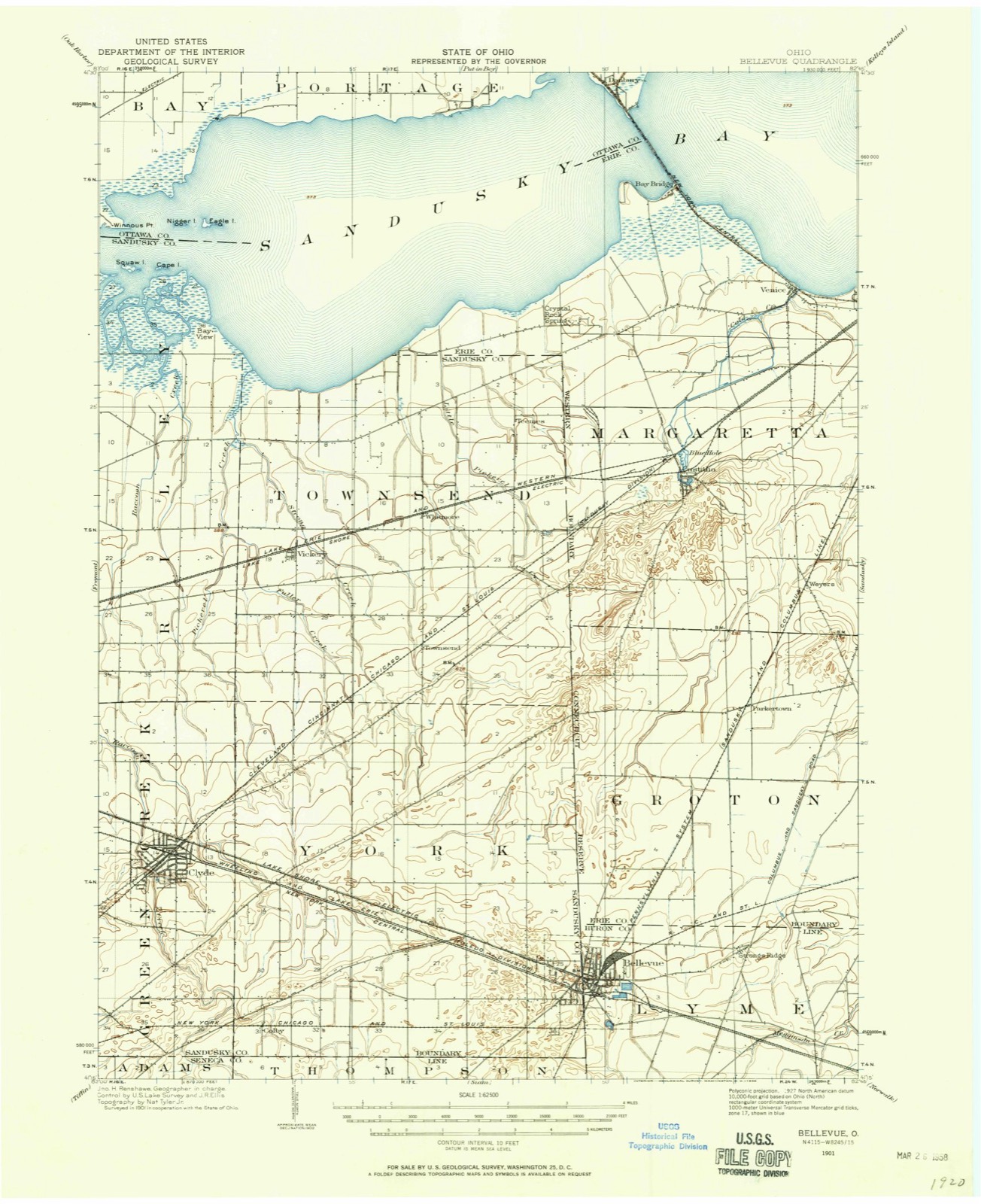
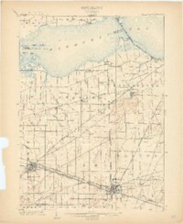
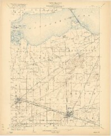
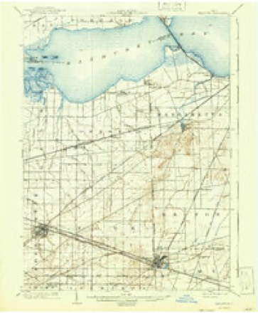
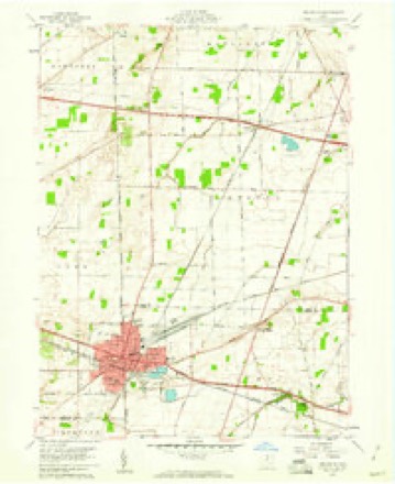
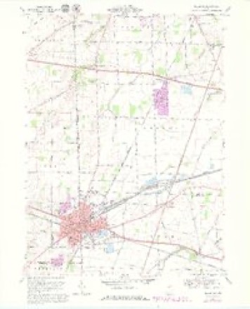
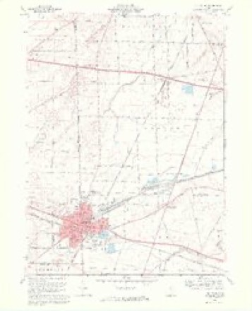
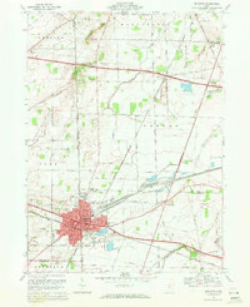
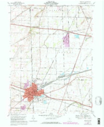
18 topographic sheets cover this place, the earliest surveyed in 1901 and the latest in 1986. It stands in Lyme Township. It lies in ZIP code area 44811. It stands on Strongs Ridge. The Survey maps it on the Bellevue quadrangle.
Then and now
1901 to 1986The same ground, surveyed 85 years apart. Drag the handle to wipe between them. Both sheets are United States Geological Survey originals; neither has been altered.

Topographic sheets covering this place
18 sheetsMatched by testing this settlement's coordinate against the published boundary of every sheet in the United States Geological Survey's historical collection. Each opens the scanned sheet at the Survey.
- 1901 USGS Bellevue quadrangle1:62500
- 1903 USGS Bellevue quadrangle1:62500
- 1903 USGS Bellevue quadrangle1:62500
- 1903 USGS Bellevue quadrangle1:62500
- 1903 USGS Bellevue quadrangle1:62500
- 1903 USGS Bellevue quadrangle1:62500
- 1956 USGS Toledo quadrangle1:250000
- 1956 USGS Toledo quadrangle1:250000
- 1956 USGS Toledo quadrangle1:250000
- 1956 USGS Toledo quadrangle1:250000
- 1959 USGS Bellevue quadrangle1:24000
- 1961 USGS Toledo quadrangle1:250000
- 1969 USGS Bellevue quadrangle1:24000
- 1969 USGS Bellevue quadrangle1:24000
- 1969 USGS Bellevue quadrangle1:24000
- 1969 USGS Bellevue quadrangle1:24000
- 1986 USGS Lorain quadrangle1:100000
- 1986 USGS Lorain quadrangle1:100000







In the 1896 county history
1,052 words on this townshipThe county history of 1896 has no passage naming this settlement, which was common for the smaller places. Its township is covered in full.
The chapter on Lyme Township covers the township.
Read the chapter on Lyme Township - 1,052 words.
Specimens collected nearby
12 of 278 shownMuseums hold 278 specimens collected within 10 miles of Strongs Ridge between 1893 and 1975: 254 Animalia, 21 Plantae, 3 Fungi. 12 distinct Species records are shown. Collected by A. Woolman, B Zahuranec & party, C F WALKER AND JOHN ANDERSON and others. Each is a physical object with a catalogue number, and each entry opens the museum's record. This is what was collected and kept, not a survey of what lives here - nothing can be concluded from a species being absent.
| Image | Species | Year | Collected by | Where, as recorded |
|---|---|---|---|---|
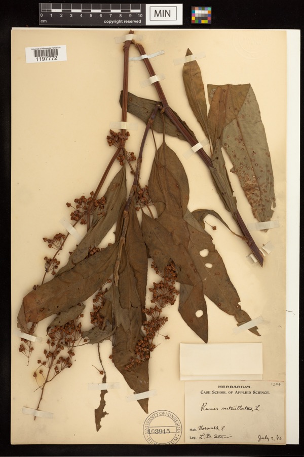 | Rumex verticillatus L. | 1896 | Stair, L. D. | |
 | Campostoma anomalum (Rafinesque, 1820) | 1893 | A. Woolman | Ohio, Huron River, Monroeville |
 | Dryopteris carthusiana (Vill.) H.P.Fuchs | 1893 | Collector(s): Edwin Lincoln Moseley | Milan, Huron River |
 | Etheostoma caeruleum Storer, 1845 | 1893 | not recorded | Ohio, Monroeville, Huron River |
 | Etheostoma flabellare Rafinesque, 1819 | 1893 | not recorded | Ohio, Monroeville, Huron River |
 | Etheostoma nigrum Rafinesque, 1820 | 1893 | not recorded | Ohio, Monroeville, Huron River |
 | Hypentelium nigricans (Lesueur, 1817) | 1893 | not recorded | Ohio, Monroeville, Huron River |
 | Lithobates pipiens (Schreber, 1782) | 1893 | not recorded | Monroeville, Huron River |
 | Notropis whipplei (Girard, 1856) | 1893 | A. Woolman | Ohio, Huron River, Monroeville |
 | Noturus flavus Rafinesque, 1818 | 1893 | A. Woolman | Ohio, Huron River, Monroeville |
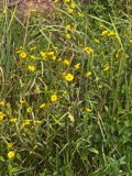 | Bidens laevis (L.) Britton, Sterns & Poggenb. | 1894 | Collector(s): Edwin Lincoln Moseley | Huron River, Milan |
 | Chelone glabra L. | 1894 | Collector(s): Edwin Lincoln Moseley | near Milan |
All 278 specimens within 10 miles, at the Global Biodiversity Information Facility.
Storms nearby
20 since 1998The National Weather Service names Strongs Ridge in 20 storm reports between 1998 and 2023: 10 thunderstorm wind, 8 hail, 2 flash flood. No death or injury is recorded in these reports. Each account below is quoted exactly as the forecast office filed it, from the NOAA Storm Events Database, and each date opens the federal record of that event.
| When | Event | Place named | Harm | What the report says |
|---|---|---|---|---|
| August 2003 | Thunderstorm Wind | Strongs Ridge | $800,000 | A thunderstorm downburst with winds estimated at 70 mph caused considerable damage. The section of Bellevue in Huron County was the hardest hit part of the city. Around 150 trees were downed on the northeast side of Bellvue with damage reported on every street. Fifty homes and many cars were damaged in this area. Over two dozen streets were blocked by fallen trees and limbs. A construction trailer was overturned and destroyed. The winds were strong enough to move several parked railroad cars over 200 feet. |
| August 2011 | Thunderstorm Wind | Strongs Ridge | $100,000 | A thunderstorm downburst caused considerable damage in Bellevue. Dozens of trees were toppled by winds estimated to be at least 75 mph. A damage path around a mile long was observed in both the Sandusky and Huron County portions of the city. A few houses and vehicles were damaged by downed trees and limbs. |
| August 2023 | Flash Flood | Strongs Ridge | $25,000 | Widespread road closures due to flooding across western Huron County. Some roads include Section Line Road 30 North at Megginson Creek, Section Line Road 30 South at Mud Run, and Townline Road 131 West near OH-61. Basement flooding was reported in Bellevue. Radar estimated 2 to 3 inches of rainfall in a three hour period. |
| May 2011 | Hail | Strongs Ridge | $20,000 | Quarter to ping pong ball size hail was observed during this thunderstorm. |
| July 2016 | Hail | Strongs Ridge | $10,000 | Quarter sized hail was reported. Some doors were dented by the hail. |
| August 2002 | Thunderstorm Wind | Strongs Ridge | $10,000 | Thunderstorm winds downed two large trees and damaged an awning at a campground near the intersection of State Routes 4 and 113. |
| April 2000 | Thunderstorm Wind | Strongs Ridge | $10,000 | Thunderstorm winds knocked down several telephone poles near the intersection of State Routes 113 and 4. |
| May 2001 | Thunderstorm Wind | Strongs Ridge | $5,000 | Thunderstorm winds downed two large trees and leveled a large tent on the east side of Bellevue or about two miles west of Strongs Ridge. |
| May 2008 | Thunderstorm Wind | Strongs Ridge | $3,000 | Thunderstorm winds downed two trees on the east side of Bellevue. |
| June 1998 | Thunderstorm Wind | Strongs Ridge | $2,000 | Trees were downed east of Bellevue near Strongs Ridge. |
| September 2015 | Thunderstorm Wind | Strongs Ridge | $1,000 | Thunderstorm winds snapped a tree. |
| August 2023 | Thunderstorm Wind | Strongs Ridge | - | Several trees downed in Bellevue. |
| June 2023 | Hail | Strongs Ridge | - | Hail up to golf ball-size at the intersection of OH-269 and Lincoln Street in Bellevue. |
| June 2023 | Flash Flood | Strongs Ridge | - | Multiple road closures due to flooding, including the U.S. 20/Main Street underpass east of Broad Street, North Street, Buckeye Street, and High Street. A report of a car stranded in water in Bellevue. Radar estimated 2 to 2.5 inches of rain fell in one hour. |
| June 2023 | Hail | Strongs Ridge | - | Hail up to ping pong ball-size near the intersection of U.S. Route 20 and Flat Rock Road, about one-mile WNW of Bellevue. |
| July 2020 | Thunderstorm Wind | Strongs Ridge | - | Multiple trees down along OH 113, about two miles east of Bellevue. Probable downburst. |
| February 2017 | Hail | Strongs Ridge | - | Quarter sized hail was observed. |
| July 2017 | Hail | Strongs Ridge | - | Penny sized hail was observed. |
| July 2013 | Hail | Strongs Ridge | - | Quarter sized hail was observed. |
| July 2013 | Hail | Strongs Ridge | - | Quarter sized hail was observed. |
Nearest settlements
The eight closest, with where each one stands in the county. Distances are straight-line, computed from the Geographic Names Information System coordinates.
| Map | Place | Distance | Sheets |
|---|---|---|---|
| Bellevue | 3.0 miles | 18 | |
| Hunts Corners | 4.2 miles | 12 | |
| Monroeville | 5.5 miles | 12 | |
| Weavers Corners | 6.0 miles | 12 | |
| Standardsburg | 6.3 miles | 12 | |
| Pontiac | 7.3 miles | 12 | |
| Bismarck | 8.2 miles | 12 | |
| Key Estates | 8.9 miles | 13 |
Provenance
This settlement is recorded in the Geographic Names Information System as feature 1063408. The sheet list is computed by point-in-boundary test against the United States Geological Survey's historical topographic inventory. Both are works of the United States government and carry no copyright under 17 U.S.C. 105.
Specimens. Global Biodiversity Information Facility (GBIF), https://www.gbif.org/. Only records licensed CC0 or CC BY are used. Records licensed CC BY-NC are excluded because this site carries advertising. Images are checked individually and any whose licence is non-commercial, no-derivatives or unreadable is refused.
Storms. NOAA National Centers for Environmental Information, Storm Events Database https://www.ncei.noaa.gov/stormevents/ A work of the United States government, no copyright under 17 U.S.C. 105. Narratives are quoted verbatim from the National Weather Service report and are not edited or summarised.