 Block
Suffield, Ohio
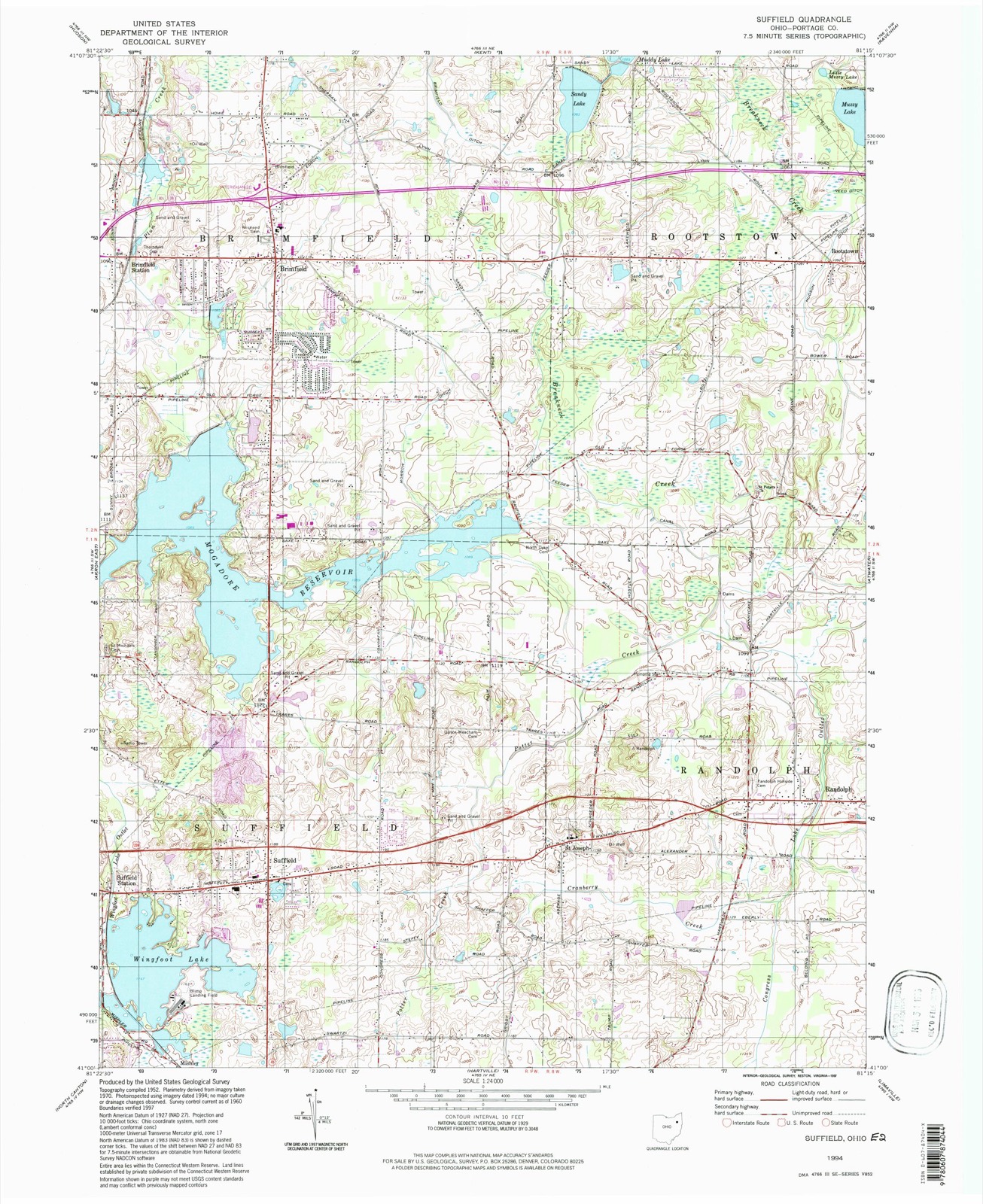
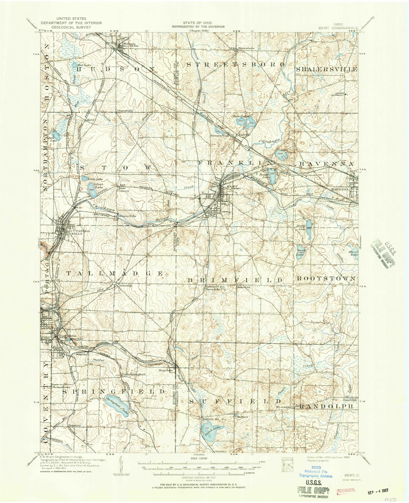
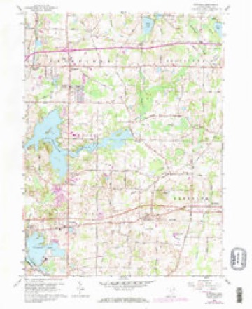
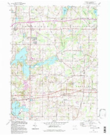
11 topographic sheets cover this place, the earliest surveyed in 1906 and the latest in 1994. It stands in Suffield Township. It lies in ZIP code area 44260. The Survey maps it on the Suffield quadrangle.
Then and now
1906 to 1994The same ground, surveyed 88 years apart. Drag the handle to wipe between them. Both sheets are United States Geological Survey originals; neither has been altered.
Compare 1906 against another survey:
Topographic sheets covering this place
7 surveys from 11 printed sheetsMatched by testing this settlement's coordinate against the published boundary of every sheet in the United States Geological Survey's historical collection. Each opens the scanned sheet at the Survey.
- 1906 USGS Kent quadrangle1:62500, 2 printings
- 1956 USGS Cleveland quadrangle1:250000, 3 printings
- 1960 USGS Suffield quadrangle1:24000, 2 printings
- 1962 USGS Cleveland quadrangle1:250000
- 1986 USGS Cleveland South quadrangle1:100000
- 1994 USGS Cleveland South quadrangle1:100000
- 1994 USGS Suffield quadrangle1:24000
Specimens collected near this place
12 of 431 shownRegional context, not property-specific evidence. Museums hold 431 specimens collected within 10 miles of Suffield between 1880 and 1975: 217 Animalia, 181 Plantae, 30 Fungi, 1 Protozoa, 1 Unrecorded, 1 Bacteria. 12 distinct Species records are shown. Collected by A. K. Wyatt, A. Woolman, Alex K. Wyatt and others. Each is a physical object with a catalogue number, and each entry opens the museum's record. This is what was collected and kept, not a survey of what lives here - nothing can be concluded from a species being absent.
| Image | Species | Year | Collected by | Where, as recorded |
|---|---|---|---|---|
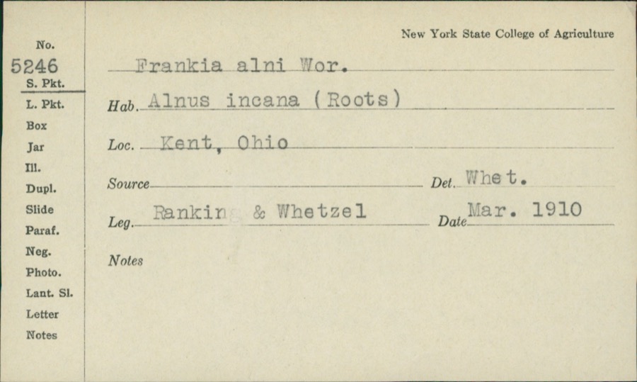 | Frankiella alni (Woronin) Maire & A.Tison | 1910 | Rankin; H.H. Whetzel | |
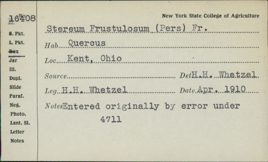 | Stereum frustulatum (Pers.) Fr. | 1910 | H.H. Whetzel | |
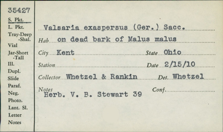 | Valsaria exasperans (W.R.Gerard) Sacc. | 1910 | Whetzel; Rankin | |
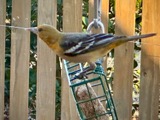 | Icterus galbula (Linnaeus, 1758) | 1880 | Collection of R. Spires | Atwater, Near |
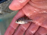 | Ambloplites rupestris (Rafinesque, 1817) | 1893 | A. Woolman | Cuyahoga River, Kent, Ohio |
 | Cambarus propinquus Girard, 1852 | 1893 | Woolman | Cuyahoga River, Kent |
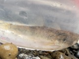 | Catostomus commersonii (Lacepède, 1803) | 1893 | A. Woolman | Cuyahoga River, Kent, Ohio |
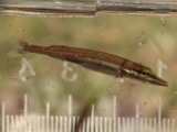 | Esox americanus vermiculatus Lesueur, 1846 | 1893 | A. Woolman | Cuyahoga River, Kent, Ohio |
 | Etheostoma blennioides Rafinesque, 1819 | 1893 | A. Woolman | Kent, Ohio |
 | Etheostoma nigrum Rafinesque, 1820 | 1893 | A. Woolman | Cuyahoga River, Kent, Ohio |
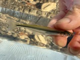 | Labidesthes sicculus (Cope, 1865) | 1893 | A. Woolman | Cuyahoga River, Kent, Ohio |
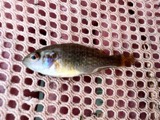 | Lepomis cyanellus Rafinesque, 1819 | 1893 | A. Woolman | Cuyahoga River, Kent, Ohio |
All 431 specimens within 10 miles, at the Global Biodiversity Information Facility.
Mines and quarries near this place
10 within 5 milesRegional context, not property-specific evidence. The federal mineral resources record lists 10 workings within 5 miles of Suffield: 6 past producers, 3 producers, 1 plant. 4 still produce. What was taken out: Sand and Gravel, Construction. Distance is straight-line from the map coordinates, so a quarry counted here may appear on a neighbouring settlement's page as well.
| Where | Site | Commodity | Status | Recorded |
|---|---|---|---|---|
| American Pit | Sand and Gravel, Construction | Past Producer | ||
| Hilltop Aggregate, Inc. | Sand and Gravel, Construction | Producer | ||
| Knight Plant | Sand and Gravel, Construction | Past Producer | Sedimentary | |
| Knight Plant & Pit | Sand and Gravel, Construction | Plant | ||
| Martz Pit | Sand and Gravel, Construction | Past Producer | Sedimentary | |
| Martz Pit | Sand and Gravel, Construction | Past Producer | ||
| Stark Pit | Sand and Gravel, Construction | Producer | ||
| Stroup Pit | Sand and Gravel, Construction | Past Producer | ||
| Stroup and Sons Sand & Gravel Pit | Sand and Gravel, Construction | Past Producer | Sedimentary | |
| Wartko Pit | Sand and Gravel, Construction | Producer |
Storms near this place
12 since 1997Regional context, not property-specific evidence. The National Weather Service names Suffield in 12 storm reports between 1997 and 2026: 8 thunderstorm wind, 3 hail, 1 flash flood. No death or injury is recorded in these reports. Each account below is quoted exactly as the forecast office filed it, from the NOAA Storm Events Database, and each date opens the federal record of that event.
| When | Event | Place named | Harm | What the report says |
|---|---|---|---|---|
| June 2007 | Hail | Suffield | $5,000,000 | Tennis ball size hail was observed. Several large limbs were also reported down. Hundreds of homes and vehicles sustained damage from the hail. |
| August 2002 | Thunderstorm Wind | Suffield | $500,000 | A thunderstorm downburst produced a six mile damage path in Portage County. A 67 mph wind gust was measured in Ravenna with gusts along the remainder of the damage path estimated to be in excess of 60 mph. The damage path was oriented from southwest to northeast and began near Suffield in Suffield Township. The most significant damage occurred further northeast in Rootstown and Ravenna Townships. Especially hard hit was the City of Ravenna where over 100 trees were downed. Hundreds of additional trees were downed elsewhere along the damage path. Two mobile homes were destroyed on the north side of Ravenna. An occupant of one of the mobile homes sustained minor injuries. A home was heavily damaged in Rootstown Township with two other homes suffering minor damage. In addition, several vehicles were either destroyed or damaged. |
| July 1997 | Flash Flood | Suffield | $30,000 | no account filed |
| July 2006 | Thunderstorm Wind | Suffield | $15,000 | Numerous trees were reported down across Suffield and Randolph Townships. Penny size hail was also observed as the severe thunderstorms passed through. |
| June 2016 | Thunderstorm Wind | Suffield | $12,000 | Thunderstorm winds downed several trees in Suffield Township. |
| September 2003 | Thunderstorm Wind | Suffield | $3,000 | Thunderstorm winds downed a couple of large tree limbs. |
| April 2026 | Thunderstorm Wind | Suffield | - | Trees downed in Suffield, just ENE of Wingfoot Lake. |
| May 2025 | Thunderstorm Wind | Suffield | - | Tree downed at U.S. Route 224 and Congress Road in Mogadore. |
| May 2025 | Thunderstorm Wind | Suffield | - | Tree downed along the 1400 block of Trares Road in Brimfield. |
| May 2010 | Thunderstorm Wind | Suffield | - | Thunderstorm winds toppled many trees in Suffield Township. |
| August 2003 | Hail | Suffield | - | Penny size hail was observed. |
| June 1998 | Hail | Suffield | - | no account filed |
Nearest settlements
The eight closest, with where each one stands in the county. Distances are straight-line, computed from the Geographic Names Information System coordinates.
| Map | Place | Distance | Sheets |
|---|---|---|---|
| Suffield Station | 1.4 miles | 11 | |
| Mishler | 1.8 miles | 19 | |
| Pony | 1.9 miles | 16 | |
| Logtown | 2.4 miles | 16 | |
| Saint Joseph | 2.6 miles | 11 | |
| Hilltown (historical) | 3.6 miles | 11 | |
| Bunkers Corners | 4.1 miles | 11 | |
| Randolph | 5.3 miles | 18 |
Provenance
This settlement is recorded in the Geographic Names Information System as feature 1065399. The sheet list is computed by point-in-boundary test against the United States Geological Survey's historical topographic inventory. Both are works of the United States government and carry no copyright under 17 U.S.C. 105.
Specimens. Global Biodiversity Information Facility (GBIF), https://www.gbif.org/. Only records licensed CC0 or CC BY are used. Records licensed CC BY-NC are excluded because this site carries advertising. Images are checked individually and any whose licence is non-commercial, no-derivatives or unreadable is refused.
Mines and quarries. USGS Mineral Resources Data System (MRDS) https://mrdata.usgs.gov/mrds/ A work of the United States government, no copyright under 17 U.S.C. 105.
Storms. NOAA National Centers for Environmental Information, Storm Events Database https://www.ncei.noaa.gov/stormevents/ A work of the United States government, no copyright under 17 U.S.C. 105. Narratives are quoted verbatim from the National Weather Service report and are not edited or summarised.