 Block
Block
Sugar Grove, Ohio
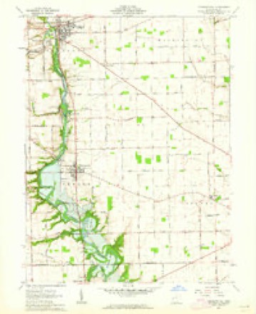
13 topographic sheets cover this place, the earliest surveyed in 1911 and the latest in 1986. It stands in Newton Township. It lies in ZIP code area 45359. It stands on Painter Creek. The Survey maps it on the Pleasant Hill quadrangle.
Then and now
1911 to 1986The same ground, surveyed 75 years apart. Drag the handle to wipe between them. Both sheets are United States Geological Survey originals; neither has been altered.

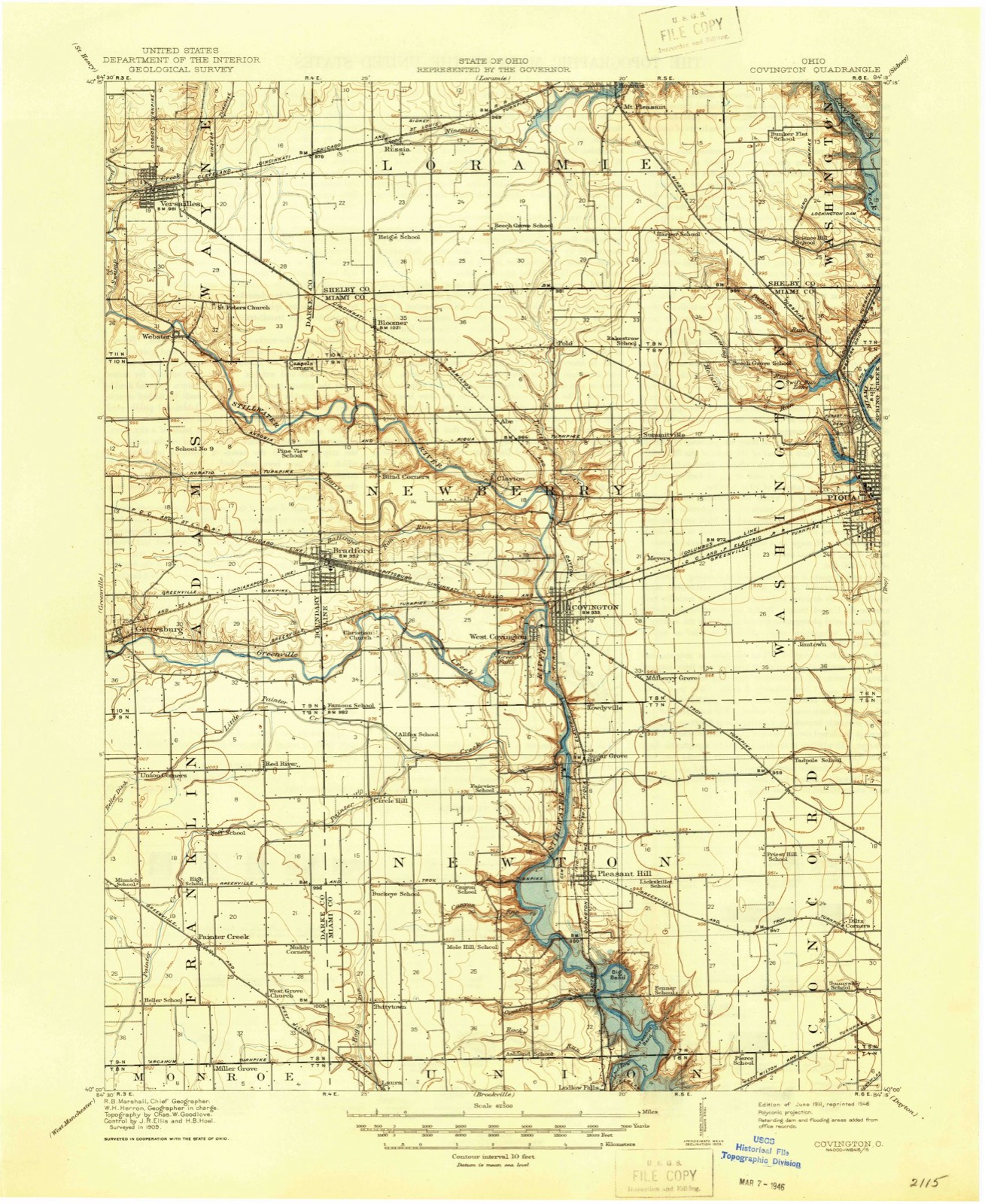
Topographic sheets covering this place
13 sheetsMatched by testing this settlement's coordinate against the published boundary of every sheet in the United States Geological Survey's historical collection. Each opens the scanned sheet at the Survey.
- 1911 USGS Covington quadrangle1:62500
- 1944 USGS Covington quadrangle1:62500
- 1953 USGS Muncie quadrangle1:250000
- 1953 USGS Muncie quadrangle1:250000
- 1953 USGS Muncie quadrangle1:250000
- 1953 USGS Muncie quadrangle1:250000
- 1953 USGS Muncie quadrangle1:250000
- 1956 USGS Muncie quadrangle1:250000
- 1961 USGS Pleasant Hill quadrangle1:24000
- 1961 USGS Pleasant Hill quadrangle1:24000
- 1986 USGS Piqua quadrangle1:100000
- 1986 USGS Piqua quadrangle1:100000
- 1986 USGS Piqua quadrangle1:100000









In the county-history sources
58,421 words on this townshipThe History of Miami County, Ohio, published 1880 names this settlement in its chapter on Newton Township. These are the passages that mention it, exactly as the scans read.
Jacob Embree may be legitimately credited with being the father of the manufacturing interests of the township ; prior to his arrival, the power offered by the streams had not been utilized ; it was not long after this, however, till the grating i the crank as it turned the hopper of the old mill, and the whirring sound of the h ol*18 V rapidly through the ponderous logs, whispered a story of better aays, when the puncheon floor and split-slab door would give place to smooth °aken boards and flour for family use could be obtained at home it « after Mr Eml>ree erected the saw-mill, in 1808, he attached to ni" Tnnglrain' or corncracker, as it was then called. It was a very simple co"8i®ting of « hopper, around which four forks were set in as a^holt^ d together by cross-pieces and covered with brush, in order to serre scale this bJL wbde the mill was being operated. On so small a day. Thi? mUMi^not ^ & 8f^'mi11 on Section 10, Range 4, in a very early a lonely landmark of the ?fra.te<i for many years, but the frame still stands, oil-mill was established KpuJ, D^nt tottering beneath its weight of years. An some time prior to 1840 Tnn,u n 8 on Pother Creek, by Abraham Deeter, first establishment of the lrinH b built a distillery in 1818. This was the ship. Mr. R. ran this busin^s «n^ S*lJrater\ in the northern part of the townfire, in 1831-32. He immediate cce8sf|il!y until his building was destroyed by immediately erected another structure, on the west bank of
Passage source: The History of Miami County, Ohio, published 1880.
The Congregational Brethren Church of Pleasant Hill was organized in c fall of 1876. The officers were as follows: Presiding Elder, John Cadwalladcr Elder, Jacob Crurarine; Minister and Secretary, Elias Teeter; Deacon, Panic Deeter. Present officers : W. G. Ullery, Elias Teeter and Jacob Cramnne, Elders , M. Deeter and Samuel It. Deeter, Deacons ; W. II. Cadwalladcr, Secretary ; n unap Mikescll, Treasurer. The present frame edifice was built a few years since and is a neat structure, whose congregation consists of a goodly number of devout worshipers. , ,
Passage source: The History of Miami County, Ohio, published 1880.
tive place ; in 1845, he purchased his present place. Mr. H. was one °1 1 hunters of Newton Township in the pioneer period of its existence, an wild game has been brought down by the well-directed aim of his rifle ; he bear near his present place as late as 1839. He has been married twice , Elizabeth Coate, by whom he had a family of twelve children, four of w ^
Passage source: The History of Miami County, Ohio, published 1880.
Machine-read from a century-old scan, so expect the errors a machine makes: misspelled names, dropped words, stray characters.
Read the whole chapter on Newton Township - it names this place 5 more 5 times.
Specimens collected near this place
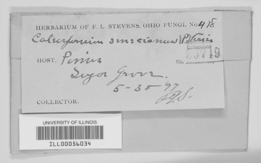
12 of 373 shownRegional context, not property-specific evidence. Museums hold 373 specimens collected within 10 miles of Sugar Grove between 1835 and 1973: 343 Animalia, 15 Plantae, 13 Fungi, 1 Unrecorded, 1 Chromista. 12 distinct Species records are shown. Collected by A V DEL, A. Gaufin, A. R. Gaufin and others. Each is a physical object with a catalogue number, and each entry opens the museum's record. This is what was collected and kept, not a survey of what lives here - nothing can be concluded from a species being absent.
| Image | Species | Year | Collected by | Where, as recorded |
|---|---|---|---|---|
 | Quercus macrocarpa Michx. | 1835 | Frank | |
 | unnamed | 1897 | F. L. Stevens | Sugar Grove. |
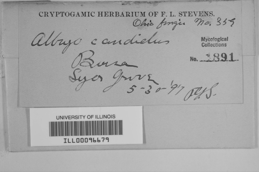 | Albugo candida (Pers. ex J.F.Gmel.) Roussel | 1897 | F.L. Stevens | Sugar Grove |
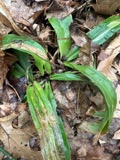 | Carex albursina E.Sheld. | 1835 | Collector unknown | |
 | Carex emmonsii var. muhlenbergii (A.Gray ex Torrey) Rettig | 1835 | Collector unspecified | |
 | Gentianella quinquefolia subsp. occidentalis (A.Gray) J.M.Gillett | 1835 | Joseph C. Frank | Ohio, in ditione civitatis Miami |
 | Cercosporina apii (Fresen.) Miura | 1896 | Skinner C. W. | Troy |
| Marssonina panattoniana (Berl.) Magnus | 1896 | Skinner C. W. | Troy | |
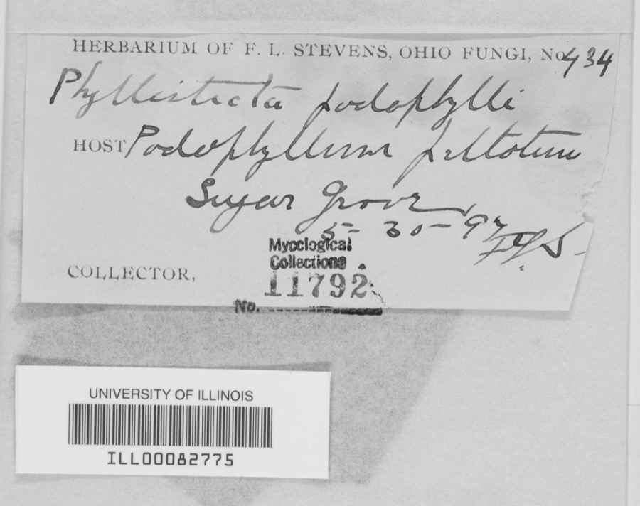 | Phyllosticta podophylli (M.A.Curtis) G.Winter | 1897 | F.L. Stevens | |
 | Lanius ludovicianus Linnaeus, 1766 | 1898 | Collector(s): L. Kumlein | Milton, Ohio |
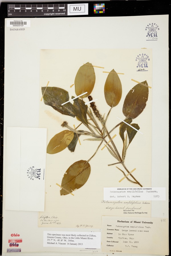 | Potamogeton amplifolius Tuck. | 1899 | Young, WU | |
 | Daedalea confragosa (Bolton) Pers. | 1906 | Fischer G. C. | Troy |
All 373 specimens within 10 miles, at the Global Biodiversity Information Facility.
Mines and quarries near this place
5 within 5 milesRegional context, not property-specific evidence. The federal mineral resources record lists 5 workings within 5 miles of Sugar Grove: 3 producers, 1 past producer, 1 plant. 4 still produce. What was taken out: Sand and Gravel, Construction, Stone, Crushed/Broken, Sand and Gravel, Construction. Distance is straight-line from the map coordinates, so a quarry counted here may appear on a neighbouring settlement's page as well.
| Where | Site | Commodity | Status | Recorded |
|---|---|---|---|---|
| Poeppelman Quarry | Stone, Crushed/Broken, Sand and Gravel, Construction | Producer | ||
| Steiners Pit | Sand and Gravel, Construction | Past Producer | Sedimentary | |
| Steiners Pit & Mill | Sand and Gravel, Construction | Plant | ||
| Wise Gravel Pit | Sand and Gravel, Construction | Producer | ||
| Woodville Pit | Sand and Gravel, Construction | Producer |
Storms near this place
2 since 2015Regional context, not property-specific evidence. The National Weather Service names Sugar Grove in 2 storm reports between 2015 and 2020: 1 flood, 1 tornado. No death or injury is recorded in these reports. Each account below is quoted exactly as the forecast office filed it, from the NOAA Storm Events Database, and each date opens the federal record of that event.
| When | Event | Place named | Harm | What the report says |
|---|---|---|---|---|
| June 2020 | Tornado (EF0) | Sugar Grove | $10,000 | A brief tornado touchdown occurred south of Covington in Miami County Ohio. The tornado appears to have touched down just west of the Stillwater River near North Owens Road. The tornado caused tree damage along West Sugar Grove Road as it moved east. The tornado lifted before it reached Ohio Route 48. Based on pictures of the tree damage, this tornado was rated as EF-0 on the Enhanced Fujita Scale, with maximum winds of 70 mph. |
| July 2015 | Flood | Sugar Grove | - | North Owens Road was closed due to high water. |
Nearest settlements
The eight closest, with where each one stands in the county. Distances are straight-line, computed from the Geographic Names Information System coordinates.
| Map | Place | Distance | Sheets |
|---|---|---|---|
| Rowdyville (historical) | 1.2 miles | 13 | |
| Pleasant Hill | 2.0 miles | 13 | |
| Mulberry Grove | 2.0 miles | 13 | |
| West Covington | 2.3 miles | 13 | |
| Covington | 2.6 miles | 13 | |
| Circle Hill | 3.3 miles | 13 | |
| Meyers (historical) | 4.0 miles | 15 | |
| Jimtown (historical) | 4.5 miles | 13 |
Provenance
This settlement is recorded in the Geographic Names Information System as feature 1049223. The sheet list is computed by point-in-boundary test against the United States Geological Survey's historical topographic inventory. Both are works of the United States government and carry no copyright under 17 U.S.C. 105.
Specimens. Global Biodiversity Information Facility (GBIF), https://www.gbif.org/. Only records licensed CC0 or CC BY are used. Records licensed CC BY-NC are excluded because this site carries advertising. Images are checked individually and any whose licence is non-commercial, no-derivatives or unreadable is refused.
Mines and quarries. USGS Mineral Resources Data System (MRDS) https://mrdata.usgs.gov/mrds/ A work of the United States government, no copyright under 17 U.S.C. 105.
Storms. NOAA National Centers for Environmental Information, Storm Events Database https://www.ncei.noaa.gov/stormevents/ A work of the United States government, no copyright under 17 U.S.C. 105. Narratives are quoted verbatim from the National Weather Service report and are not edited or summarised.