 Block
Block
Swansea, Massachusetts
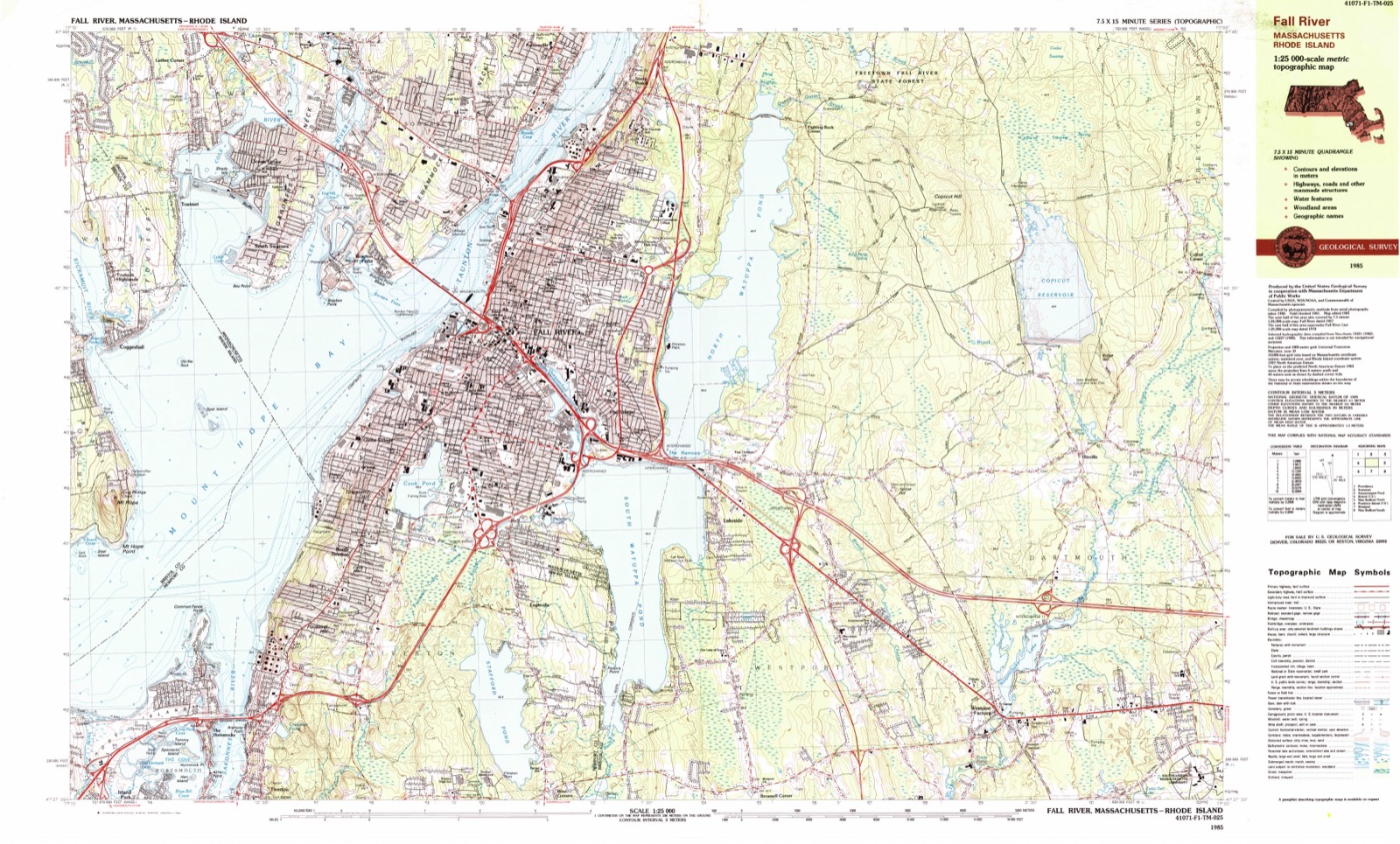
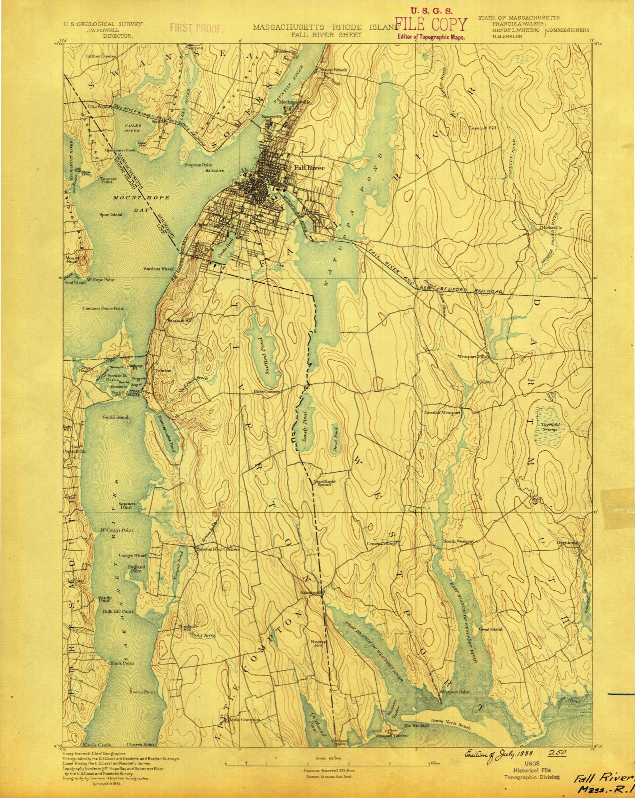
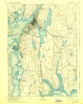
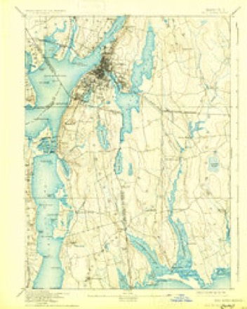
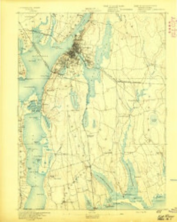
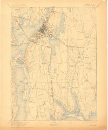
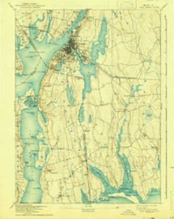
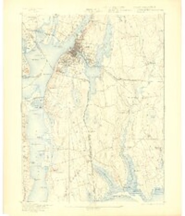
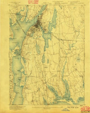
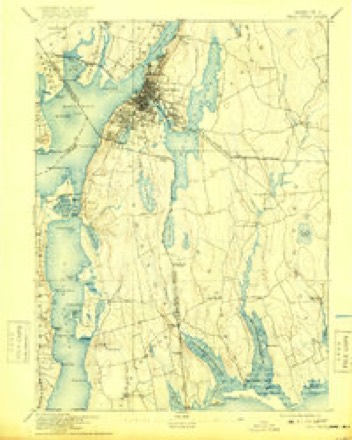
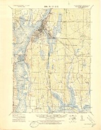
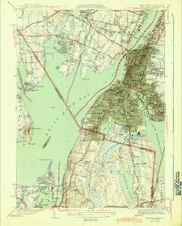
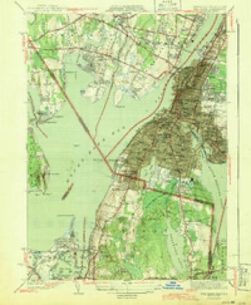
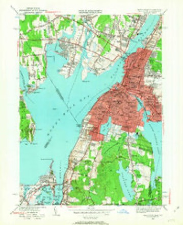
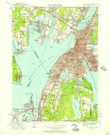
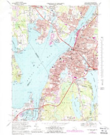
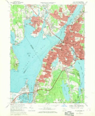
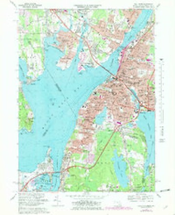
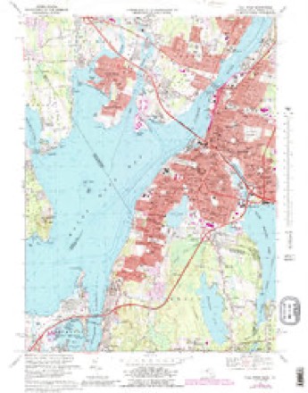
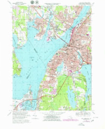
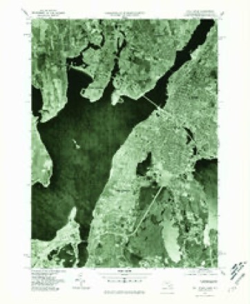
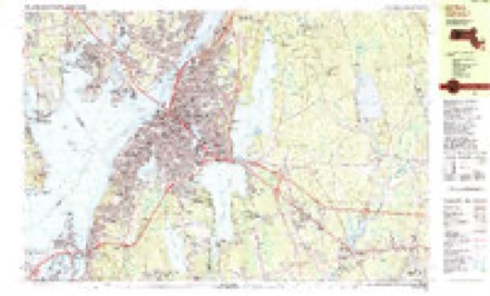
36 topographic sheets cover this place, the earliest surveyed in 1888 and the latest in 1985. It stands in Swansea town. It lies in ZIP code area 02777. It stands on Lewin Brook. The Survey maps it on the Fall River quadrangle.
Then and now
1888 to 1985The same ground, surveyed 97 years apart. Drag the handle to wipe between them. Both sheets are United States Geological Survey originals; neither has been altered.
Topographic sheets covering this place
36 sheetsMatched by testing this settlement's coordinate against the published boundary of every sheet in the United States Geological Survey's historical collection. Each opens the scanned sheet at the Survey.
- 1888 USGS Fall River quadrangle1:62500
- 1893 USGS Fall River quadrangle1:62500
- 1893 USGS Fall River quadrangle1:62500
- 1893 USGS Fall River quadrangle1:62500
- 1893 USGS Fall River quadrangle1:62500
- 1893 USGS Fall River quadrangle1:62500
- 1893 USGS Fall River quadrangle1:62500
- 1893 USGS Fall River quadrangle1:62500
- 1893 USGS Fall River quadrangle1:62500
- 1893 USGS Fall River quadrangle1:62500
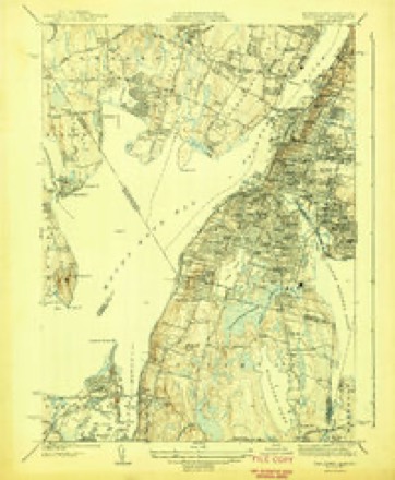
- 1919 USGS Fall River quadrangle1:62500
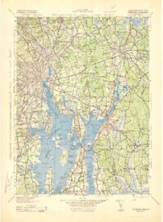
- 1943 USGS Providence quadrangle1:125000
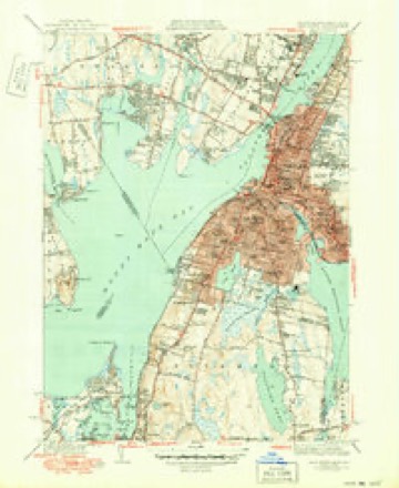
- 1944 USGS Fall River quadrangle1:31680
- 1944 USGS Fall River quadrangle1:31680
- 1944 USGS Fall River quadrangle1:31680
- 1944 USGS Fall River quadrangle1:31680
- 1947 USGS Providence quadrangle1:250000
- 1947 USGS Providence quadrangle1:250000
- 1947 USGS Providence quadrangle1:250000
- 1947 USGS Providence quadrangle1:250000
- 1947 USGS Providence quadrangle1:250000
- 1948 USGS Providence quadrangle1:250000
- 1949 USGS Fall River quadrangle1:24000
- 1949 USGS Fall River quadrangle1:24000
- 1957 USGS Providence quadrangle1:250000
- 1958 USGS Providence quadrangle1:250000
- 1963 USGS Providence quadrangle1:250000
- 1967 USGS Fall River quadrangle1:24000
- 1967 USGS Fall River quadrangle1:24000
- 1967 USGS Fall River quadrangle1:24000
- 1967 USGS Fall River quadrangle1:24000
- 1967 USGS Fall River quadrangle1:25000
- 1977 USGS Fall River quadrangle1:25000
- 1984 USGS Providence quadrangle1:100000
- 1985 USGS Fall River quadrangle1:25000
- 1985 USGS Fall River quadrangle1:25000









In the county-history sources
42,670 words on this townshipHistory of Bristol County, Massachusetts, with Biographical Sketches of Many of Its Pioneers and Prominent Men, published 1883 names this settlement in its chapter on Swansea Town. These are the passages that mention it, exactly as the scans read.
In 1670 it was ordered that the lands should be proportioned according to three ranks. Persons of the first rank were to receive three acres ; of the second, two acres ; of the third, one acre. In admitting inhabitants, the selectmen were to decide to which rank they should be apportioned. This singular division existed nowhere else in New England.
Passage source: History of Bristol County, Massachusetts, with Biographical Sketches of Many of Its Pioneers and Prominent Men, published 1883.
This town is memorable as the place where the first English blood was shed in " King Philip's War."2 On Sunday, June 20, 1675, King Philip permitted his men to march into Swansea and annoy the English by killing their cattle, in hopes to provoke them to commence the attack, for it is said that a superstition prevailed among them that the side who shed the first blood should finally be conquered. The Indians were so insolent that an Englishman finally fired upon one of them, and wounded him. The Indians upon this commenced open war. As soon as the intelligence of this massacre reached Boston, a company of foot under Capt. Henchman, and a troop under Capt. Prentice, immediately marched for Mount Hope, and being joined by another company of one hundred and ten volunteers under Capt. Moseley, they all arrived at Swansea June 28th, where they joined the Plymouth forces, under Capt. Cudworth. Mr. Miles' house, being garrisoned, was made their headquarters. About a dozen of the troop went immediately over the bridge, where they were fired upon out of the bushes, and one killed and one wounded. The English forces then pursued the enemy a mile or two, when the Indians took to the swamp, after having lost about a half-dozen of their number. The troop commenced their pursuit of the Indians next morning. They passed over
Passage source: History of Bristol County, Massachusetts, with Biographical Sketches of Many of Its Pioneers and Prominent Men, published 1883.
Miles' Bridge and proceeded down the river till they came to the narrow of the neck, at a place called Keekamuit, or Kickamuit. Here they found the heads of eight Englishmen, that the Indians had murdered, stuck on poles ; these they buried. On their arrival at Mount Hope, they found that place deserted.
Passage source: History of Bristol County, Massachusetts, with Biographical Sketches of Many of Its Pioneers and Prominent Men, published 1883.
Machine-read from a century-old scan, so expect the errors a machine makes: misspelled names, dropped words, stray characters.
Read the whole chapter on Swansea Town - it names this place 79 more 79 times.
Fires near this place
27 since 2006Regional context, not property-specific evidence. The federal wildfire occurrence database lists 27 fires within 5 miles of Swansea between 2006 and 2020, burning about 37 acres in total. None started naturally. 4 were recorded as arson. Distance is straight-line from the map coordinates, so a fire counted here may appear on a neighbouring settlement's page as well.
| Reported cause | Fires |
|---|---|
| Missing data/not specified/undetermined | 13 |
| Debris and open burning | 6 |
| Arson/incendiarism | 4 |
| Misuse of fire by a minor | 2 |
| Recreation and ceremony | 1 |
| Power generation/transmission/distribution | 1 |
The most recent of them, most recent first, with the day each was reported and the service that recorded it.
| Date | Cause | Size | Reported by | Name on the report |
|---|---|---|---|---|
| 20 September 2015 | Missing data/not specified/undetermined | 1.0 acres | Massachusetts Bureau of Forest Fire Control | not named |
| 16 September 2020 | Missing data/not specified/undetermined | under an acre | Massachusetts Bureau of Forest Fire Control | not named |
| 28 August 2016 | Debris and open burning | under an acre | Massachusetts Bureau of Forest Fire Control | not named |
| 23 August 2016 | Debris and open burning | under an acre | Massachusetts Bureau of Forest Fire Control | not named |
| 8 July 2020 | Missing data/not specified/undetermined | under an acre | Massachusetts Bureau of Forest Fire Control | not named |
| 3 July 2017 | Debris and open burning | under an acre | Massachusetts Bureau of Forest Fire Control | not named |
| 23 July 2017 | Misuse of fire by a minor | under an acre | Massachusetts Bureau of Forest Fire Control | not named |
| 21 June 2017 | Power generation/transmission/distribution | under an acre | Massachusetts Bureau of Forest Fire Control | not named |
Settlements close enough to share some of these fires:
Specimens collected near this place
12 of 1,230 shownRegional context, not property-specific evidence. Museums hold 1,230 specimens collected within 10 miles of Swansea between 1844 and 1975: 586 Animalia, 522 Plantae, 91 Fungi, 28 Chromista, 3 Unrecorded. 12 distinct Species records are shown. Collected by A E Schuyler, A., A. B. Hervey and others. Each is a physical object with a catalogue number, and each entry opens the museum's record. This is what was collected and kept, not a survey of what lives here - nothing can be concluded from a species being absent.
| Image | Species | Year | Collected by | Where, as recorded |
|---|---|---|---|---|
 | Calla palustris L. | 1844 | Thurber, G. | |
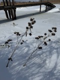 | Hibiscus moscheutos subsp. moscheutos | 1844 | not recorded | |
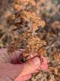 | Pluchea camphorata (L.) DC. | 1844 | not recorded | |
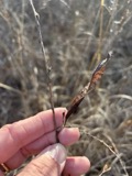 | Chamaecrista fasciculata (Michx.) Greene | 1846 | not recorded | |
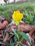 | Ranunculus bulbosus L. | 1850 | not recorded | |
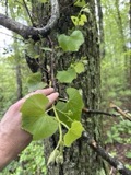 | Vitis labrusca L. | 1850 | not recorded | |
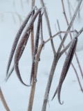 | Apocynum cannabinum L. | 1855 | F. C. Seymour | Rehoboth |
 | Mercenaria mercenaria (Linnaeus, 1758) | 1870 | Lermond, Norman | Providence, Narragansett Bay. In market at Providence. |
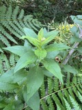 | Solidago latissimifolia Mill. | 1870 | S. T. Olney | |
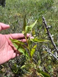 | Solidago uliginosa Nutt. | 1873 | J. W. Congdon | |
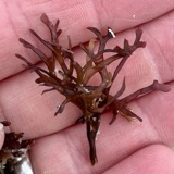 | Chondrus crispus Stackhouse | 1874 | F. Wolle | Fall River |
 | Conomitrium julianum (Savi ex DC.) Mont. | 1874 | unknown | Fall River |
All 1,230 specimens within 10 miles, at the Global Biodiversity Information Facility.
Mines and quarries near this place
1 within 5 milesRegional context, not property-specific evidence. The federal mineral resources record lists 1 working within 5 miles of Swansea: 1 plant. All of them still produce. What was taken out: Sand and Gravel, Construction. Distance is straight-line from the map coordinates, so a quarry counted here may appear on a neighbouring settlement's page as well.
| Where | Site | Commodity | Status | Recorded |
|---|---|---|---|---|
| Swansea Plant | Sand and Gravel, Construction | Plant |
Storms near this place
10 since 2002Regional context, not property-specific evidence. The National Weather Service names Swansea in 10 storm reports between 2002 and 2025: 3 lightning, 2 flash flood, 2 thunderstorm wind, 2 flood. No death or injury is recorded in these reports. Each account below is quoted exactly as the forecast office filed it, from the NOAA Storm Events Database, and each date opens the federal record of that event.
| When | Event | Place named | Harm | What the report says |
|---|---|---|---|---|
| June 2002 | Lightning | Swansea | $20,000 | no account filed |
| July 2008 | Tornado (EF0) | South Swansea | $15,000 | A National Weather Service Damage Survey team concluded that an EF1 tornado moved through portions of eastern Rhode Island and southeastern Massachusetts. The tornado began as a waterspout that occurred just off of Rumstick Point in Barrington, Rhode Island. The waterspout then moved onto land over the southern portion of Warren near the Warren/Bristol line at Hanley Farm Road. It continued eastward across the Kickemuit River in the Touisset Highlands section of Warren then crossed the Cole River and continued to cause damage in the Ocean Grove section of Swansea.||Most of the damage had a rating of EF0 on the Enhanced Fujita Scale with wind speeds of 65 to 75 mph. However, there was one small section of Warren that experienced EF1 damage. Wind speeds in that area were estimated at 90 mph. ||The tornado path length was 4.2 miles and for the most part was continuous. It was very narrow with a path width of only 40 yards. The waterspout was first observed off of Barrington at 4:00PM EDT. It moved onto land in Warren at 4:05PM EDT and into Massachusetts at 4:10PM EDT.||No injuries were reported. The majority of the damage was to trees, some of which fell onto power lines and houses. There were numerous eyewitness accounts of dark funnels, swirling debris, and intense roaring. At least one garage door bowed out toward the path of the tornado. |
| August 2006 | Lightning | Swansea | $15,000 | no account filed |
| July 2025 | Lightning | Swansea | $10,000 | In Swansea, a garage was on fire due to lightning. |
| September 2013 | Thunderstorm Wind | Swansea | $3,000 | A tree on Route 136 was downed by thunderstorm winds. |
| July 2025 | Thunderstorm Wind | Swansea | $500 | In Swansea, numerous small branches and limbs were blown down. |
| July 2023 | Flash Flood | Swansea | - | In Swansea, there was high water across entire portion of road near the 2000 block of Rt 6. |
| July 2019 | Flood | North Swansea | - | In Swansea, MA, Route 6 at Old Fall River Road was flooded and impassable. |
| September 2013 | Flood | North Swansea | - | Route 136 was flooded with eight inches of water. |
| July 2008 | Flash Flood | Swansea | - | Stevens Road was closed because of flooding. |
Nearest settlements
The eight closest, with where each one stands in the county. Distances are straight-line, computed from the Geographic Names Information System coordinates.
| Map | Place | Distance | Sheets |
|---|---|---|---|
| Swansea Center | 0.5 miles | 36 | |
| Ocean Grove | 1.7 miles | 36 | |
| Luther Corner | 1.8 miles | 36 | |
| Hortonville | 1.9 miles | 33 | |
| South Swansea | 2.2 miles | 36 | |
| Brayton Point | 2.4 miles | 36 | |
| Slades Ferry | 2.5 miles | 36 | |
| Pottersville | 2.6 miles | 33 |
Provenance
This settlement is recorded in the Geographic Names Information System as feature 612685. The sheet list is computed by point-in-boundary test against the United States Geological Survey's historical topographic inventory. Both are works of the United States government and carry no copyright under 17 U.S.C. 105.
Wildfire. Short, Karen C. 2022. Spatial wildfire occurrence data for the United States, 1992-2020 [FPA_FOD_20221014]. 6th Edition. Fort Collins, CO: Forest Service Research Data Archive. https://doi.org/10.2737/RDS-2013-0009.6 Collected with United States Government funding and usable without additional permissions or fees.
Specimens. Global Biodiversity Information Facility (GBIF), https://www.gbif.org/. Only records licensed CC0 or CC BY are used. Records licensed CC BY-NC are excluded because this site carries advertising. Images are checked individually and any whose licence is non-commercial, no-derivatives or unreadable is refused.
Mines and quarries. USGS Mineral Resources Data System (MRDS) https://mrdata.usgs.gov/mrds/ A work of the United States government, no copyright under 17 U.S.C. 105.
Storms. NOAA National Centers for Environmental Information, Storm Events Database https://www.ncei.noaa.gov/stormevents/ A work of the United States government, no copyright under 17 U.S.C. 105. Narratives are quoted verbatim from the National Weather Service report and are not edited or summarised.