 Block
Block
Symmes Park, Ohio
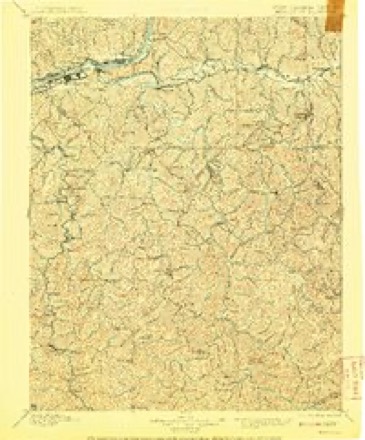
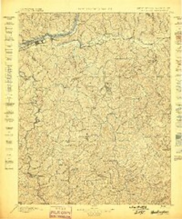
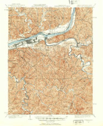
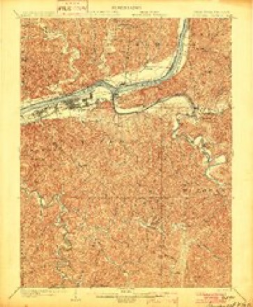
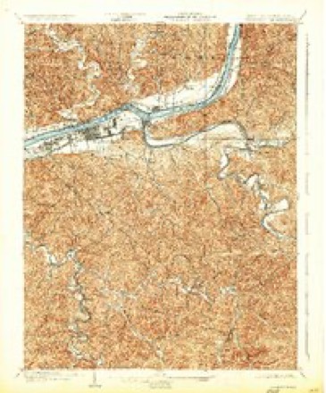
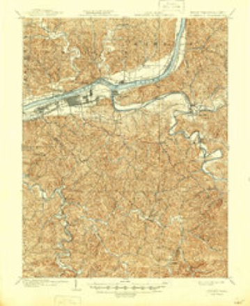
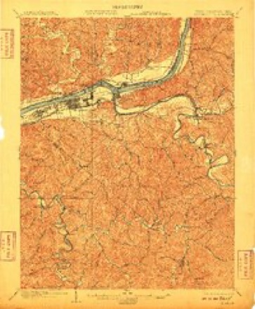
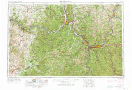
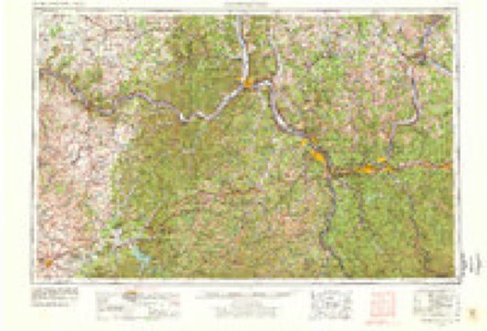
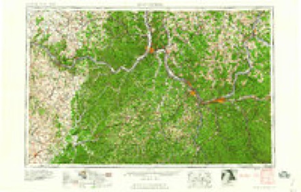
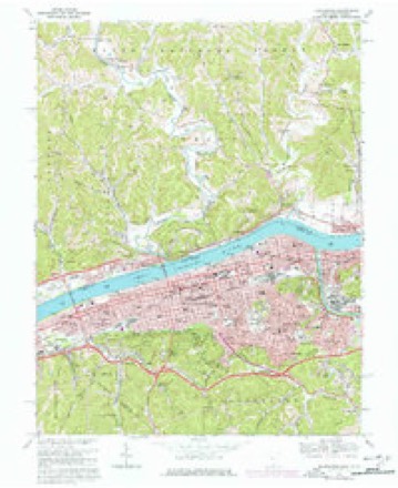
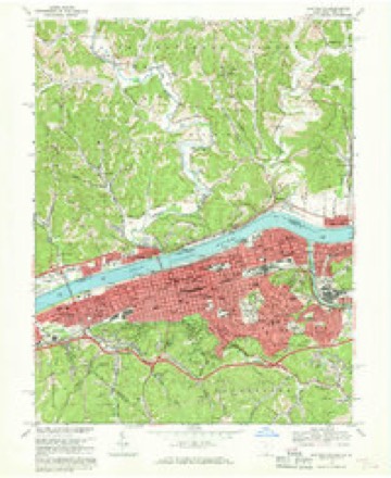
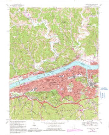
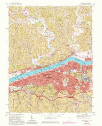
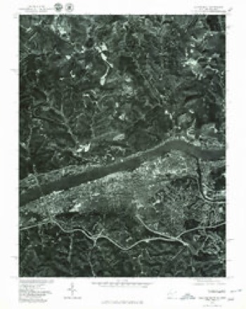
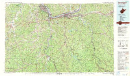
20 topographic sheets cover this place, the earliest surveyed in 1892 and the latest in 1982. It stands in Union Township. It lies in ZIP code area 45619. It stands on Big Branch Creek. The Survey maps it on the Huntington quadrangle.
Then and now
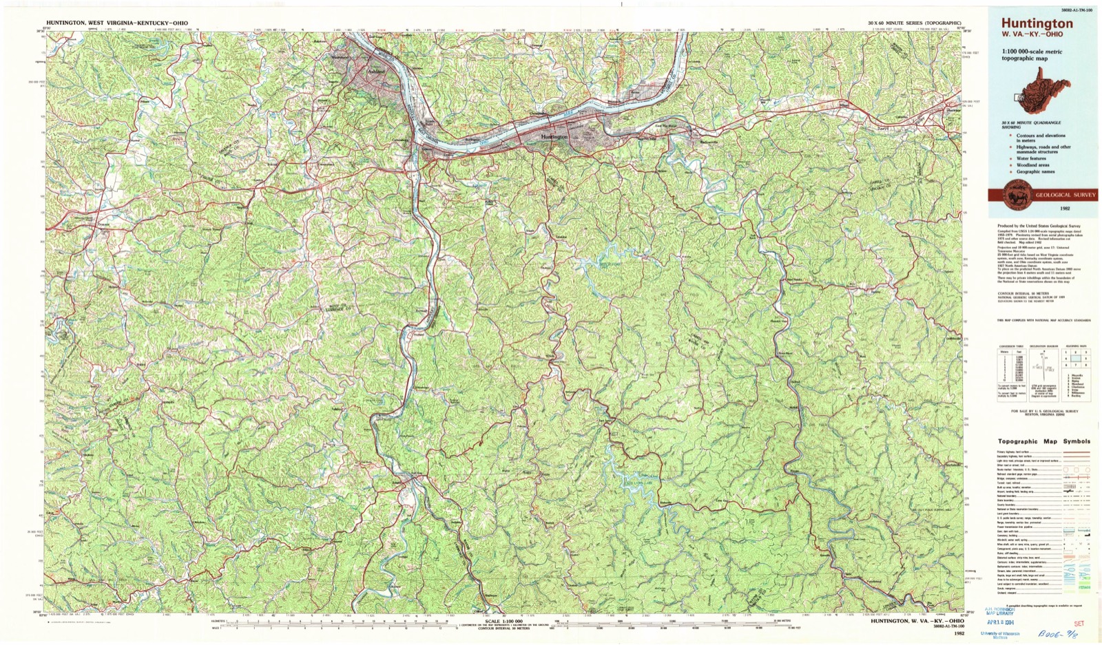
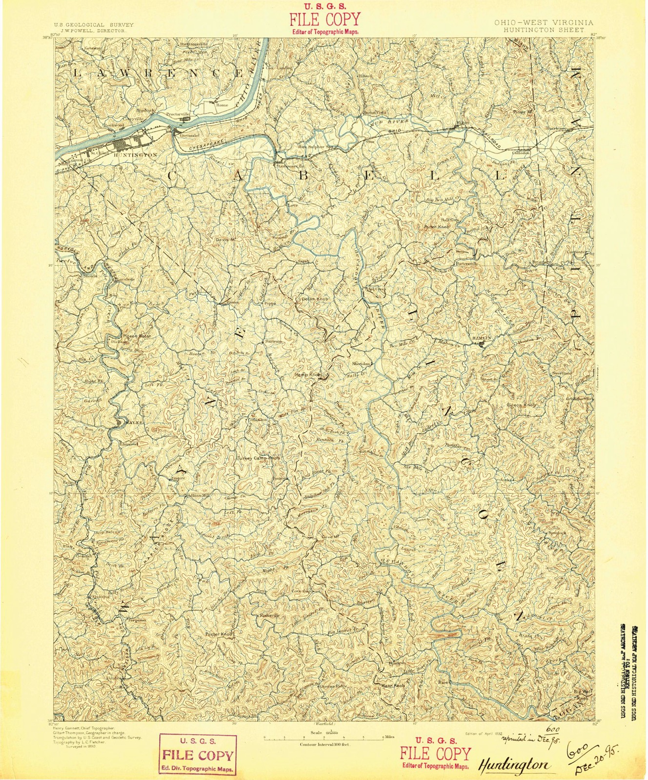
1892 to 1982The same ground, surveyed 90 years apart. Drag the handle to wipe between them. Both sheets are United States Geological Survey originals; neither has been altered.
Topographic sheets covering this place
20 sheetsMatched by testing this settlement's coordinate against the published boundary of every sheet in the United States Geological Survey's historical collection. Each opens the scanned sheet at the Survey.
- 1892 USGS Huntington quadrangle1:125000
- 1898 USGS Huntington quadrangle1:125000
- 1898 USGS Huntington quadrangle1:125000
- 1898 USGS Huntington quadrangle1:125000
- 1901 USGS Guyandot quadrangle1:62500
- 1902 USGS Guyandot quadrangle1:62500
- 1902 USGS Guyandot quadrangle1:62500
- 1902 USGS Guyandot quadrangle1:62500
- 1902 USGS Guyandot quadrangle1:62500
- 1957 USGS Huntington quadrangle1:24000
- 1957 USGS Huntington quadrangle1:250000
- 1957 USGS Huntington quadrangle1:250000
- 1957 USGS Huntington quadrangle1:250000
- 1960 USGS Huntington quadrangle1:250000
- 1968 USGS Huntington quadrangle1:24000
- 1968 USGS Huntington quadrangle1:24000
- 1968 USGS Huntington quadrangle1:24000
- 1968 USGS Huntington quadrangle1:24000
- 1976 USGS Huntington quadrangle1:24000
- 1982 USGS Huntington quadrangle1:100000

Fires nearby
62 since 1996The federal wildfire occurrence database lists 62 fires within 5 miles of Symmes Park between 1996 and 2020, burning about 196 acres in total. None started naturally. 5 were recorded as arson. Distance is straight-line from the map coordinates, so a fire counted here may appear on a neighbouring settlement's page as well.
| Reported cause | Fires |
|---|---|
| Missing data/not specified/undetermined | 28 |
| Debris and open burning | 23 |
| Arson/incendiarism | 5 |
| Recreation and ceremony | 4 |
| Other causes | 1 |
| Power generation/transmission/distribution | 1 |
The most recent of them, most recent first, with the day each was reported and the service that recorded it.
| Date | Cause | Size | Reported by | Name on the report |
|---|---|---|---|---|
| 7 September 2002 | Arson/incendiarism | 10 acres | Ohio State Fire Marshal's Office | not named |
| 16 July 2017 | Debris and open burning | under an acre | Ohio Department of Natural Resources | 8546 |
| 26 June 2017 | Recreation and ceremony | under an acre | Ohio Department of Natural Resources | 8485 |
| 13 June 2017 | Other causes | under an acre | Ohio Department of Natural Resources | 8526 |
| 23 May 2017 | Debris and open burning | under an acre | Ohio Department of Natural Resources | 8406 |
| 1 May 2018 | Missing data/not specified/undetermined | under an acre | Ohio Department of Natural Resources | 13907 |
| 1 May 2018 | Missing data/not specified/undetermined | under an acre | Ohio Department of Natural Resources | 14485 |
| 1 May 2018 | Missing data/not specified/undetermined | under an acre | Ohio Department of Natural Resources | 13666 |
Settlements close enough to share some of these fires:
Specimens collected nearby
12 of 823 shownMuseums hold 823 specimens collected within 10 miles of Symmes Park between 1840 and 1974: 601 Animalia, 116 Plantae, 83 Fungi, 20 Protozoa, 2 Chromista, 1 Unrecorded. 12 distinct Species records are shown. Collected by Archer W. A., BARBOUR, DOUGLAS I, BARUCH and others. Each is a physical object with a catalogue number, and each entry opens the museum's record. This is what was collected and kept, not a survey of what lives here - nothing can be concluded from a species being absent.
| Image | Species | Year | Collected by | Where, as recorded |
|---|---|---|---|---|
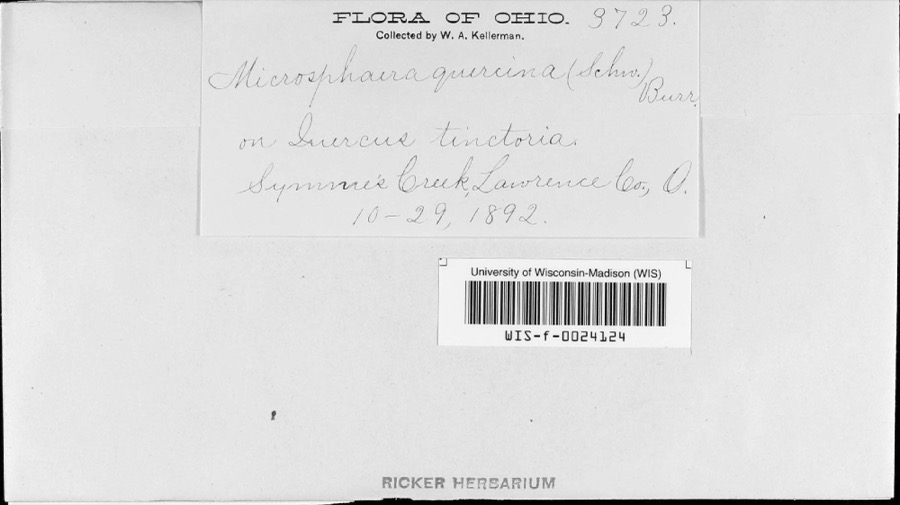 | Microsphaera alni (DC.) G.Winter | 1892 | W.A. Kellerman | Symmes Creek |
 | Polanisia dodecandra (L.) DC. | 1840 | Short, C.W. | along Ohio River |
 | Eragrostis reptans (Michx.) Nees | 1880 | T Meehan | |
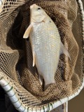 | Carpiodes cyprinus (Lesueur, 1817) | 1888 | C. Gilbert & J. Henshall | Big Sandy River, near mouth |
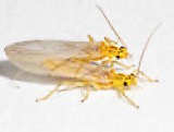 | Isoperla bilineata (Say, 1823) | 1899 | Nathan Banks | |
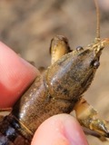 | Cambarus bartonii (Fabricius, 1798) | 1900 | not recorded | Guyandotte River |
 | Gymnosporangium juniperi-virginianae Schwein. | 1903 | Beale J. M. | Guyandotte |
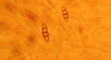 | Coniothyrium fuckelii Sacc. | 1904 | Brooks Fred E. | Huntington |
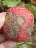 | Venturia inaequalis (Cooke) G.Winter | 1904 | Brooks F. E. | Huntington |
 | Haematoloechus longiplexus Stafford, 1902 | 1905 | Collector(s): Daniel R. Brooks, David Zamparo | Huntington |
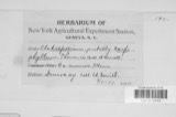 | Cladosporium carpophilum Thüm. | 1906 | C.M. Davidson | |
| Albugo bliti (Biv.) Kuntze | 1909 | Summers, T. B. | Huntington |
All 823 specimens within 10 miles, at the Global Biodiversity Information Facility.
Mines and quarries nearby
5 within 5 milesThe federal mineral resources record lists 5 workings within 5 miles of Symmes Park: 4 past producers, 1 producer. 1 still produces. What was taken out: Sand and Gravel, Construction, Nickel. Distance is straight-line from the map coordinates, so a quarry counted here may appear on a neighbouring settlement's page as well.
| Where | Site | Commodity | Status | Recorded |
|---|---|---|---|---|
| Huntington Alloys Rolling Mill | Nickel | Producer | ||
| Burlington Pit | Sand and Gravel, Construction | Past Producer | Sedimentary | |
| Burlington Pit | Sand and Gravel, Construction | Past Producer | ||
| Wilson Pit | Sand and Gravel, Construction | Past Producer | Sedimentary | |
| Wilson Pit | Sand and Gravel, Construction | Past Producer |
Nearest settlements
The eight closest, with where each one stands in the county. Distances are straight-line, computed from the Geographic Names Information System coordinates.
| Map | Place | Distance | Sheets |
|---|---|---|---|
| Chesapeake | 0.4 miles | 20 | |
| Crescent Lake | 0.5 miles | 20 | |
| Rockwood | 0.9 miles | 20 | |
| Brentwood | 1.0 miles | 20 | |
| Corryville | 1.8 miles | 20 | |
| Howell | 2.7 miles | 23 | |
| Sybene | 2.8 miles | 23 | |
| Bradrick | 2.8 miles | 20 |
Provenance
This settlement is recorded in the Geographic Names Information System as feature 1050519. The sheet list is computed by point-in-boundary test against the United States Geological Survey's historical topographic inventory. Both are works of the United States government and carry no copyright under 17 U.S.C. 105.
Wildfire. Short, Karen C. 2022. Spatial wildfire occurrence data for the United States, 1992-2020 [FPA_FOD_20221014]. 6th Edition. Fort Collins, CO: Forest Service Research Data Archive. https://doi.org/10.2737/RDS-2013-0009.6 Collected with United States Government funding and usable without additional permissions or fees.
Specimens. Global Biodiversity Information Facility (GBIF), https://www.gbif.org/. Only records licensed CC0 or CC BY are used. Records licensed CC BY-NC are excluded because this site carries advertising. Images are checked individually and any whose licence is non-commercial, no-derivatives or unreadable is refused.
Mines and quarries. USGS Mineral Resources Data System (MRDS) https://mrdata.usgs.gov/mrds/ A work of the United States government, no copyright under 17 U.S.C. 105.