BlockBefore
Decorative drawing: a county panorama. Not a photograph of this place.

Lawrence County, Ohio

119 topographic sheets and 13 fire insurance atlases across 3 places.

Research this county

This curated hub for Lawrence County, Ohio brings together the page's documented record links, visible map or image evidence where published, and routes to related local records.

What is documented here?

Use the page's provenance and linked records to distinguish the source material from the site's navigation and summaries.

How should I cite it?

Open the original record, preserve its repository and identifier, then use the citation tool for this page as a path back to the source.

Where should I go next?

Follow the county or state hub for related places and records, then use the guide for a source-aware research sequence.

From the record

16 National Register listings · 28 businesses named in the fire insurance atlases from 1885 to 1909 · the 1890 county history tells 0 stories and names 0 people.

Sources: the county history on the Internet Archive · the National Register database, National Park Service

Ohio within the United States
Lawrence County within Ohio
Explore by year 1870 1937

What the record shows

  • 3 places in this county were surveyed for fire insurance: Ironton, Chesapeake, Waterloo, between 1885 and 1960.
  • 13 fire insurance atlas(es) survive for the county. Topographic coverage is national; fire insurance survey reached only incorporated places with something worth insuring.
  • 1,963 topographic sheet readings cover the county's settlements.
  • 16 properties here are on the National Register of Historic Places, including 1 covered bridge, 2 houses and farms.
  • 6 of the 16 listings were added during the 1970s.
  • The Geographic Names Information System records 114 populated places in this county; 0 are covered by at least one topographic sheet.
  • 2 public-domain county histories, 1890 and 1900, supply 221 words of narrative reproduced here in full.

Photographs

2 photographs,

Taken for the Office of War Information and the Farm Security Administration, who photographed the country between 1935 and 1944. Works of United States government photographers, with no known restriction on use. Each opens its catalogue record.

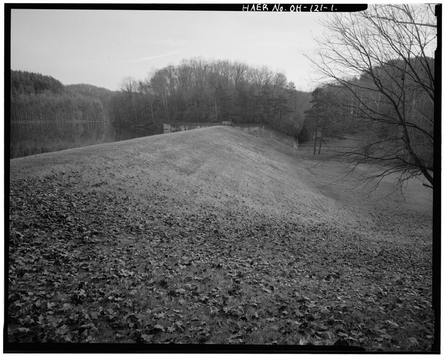
Vesuvius Dam, Across Storms Creek near intersection of County Roads 20 & 29, Ironton, Lawrence County, OH
Unattributed, . Library of Congress
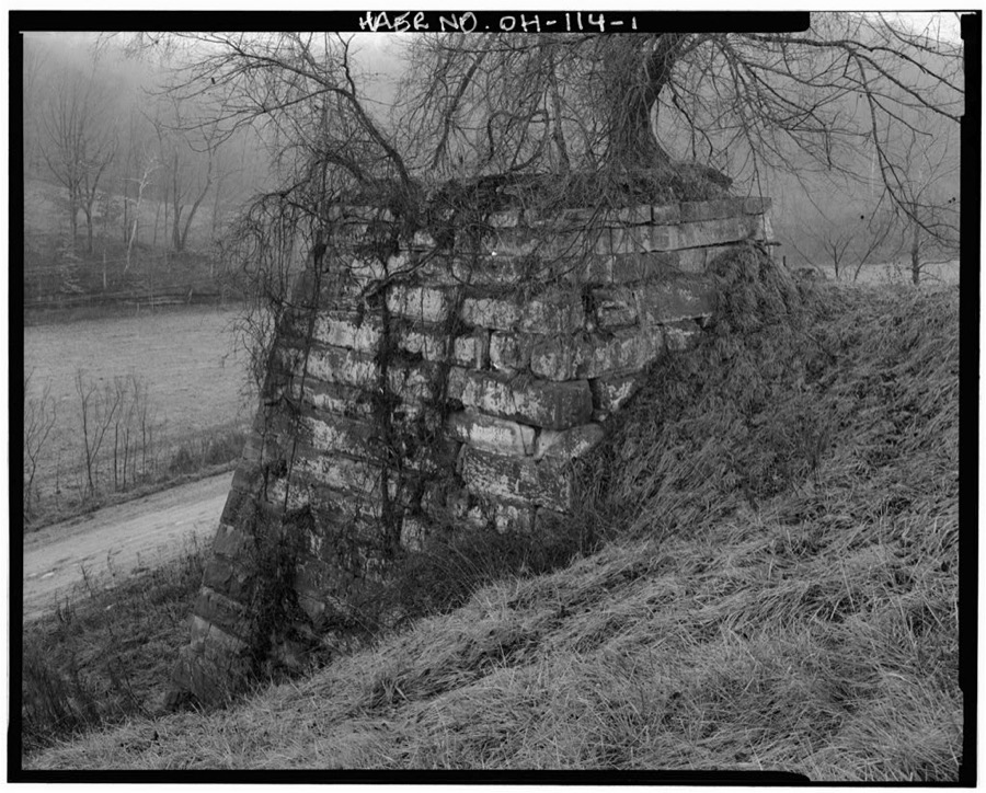
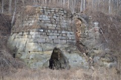
Buckhorn Iron Furnace, Buckhorn Hollow Road, Pedro, Lawrence County, OH
Unattributed, . Library of Congress

Places on the National Register

16

Every property in this county listed on the National Register of Historic Places, with the year it was listed and the federal nomination document.

Photograph PropertyType ListedReference
Brumberg Buildingbuilding200808000148
Burlington 37 Cemeterysite200101001064
Erlich, F. W., Housebuilding198080003134
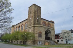
Grand Army of the Republic Memorial Hallbuilding201212000801
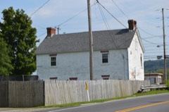
Johnston, William C., House And General Storebuilding197676001463
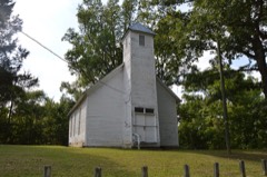
Macedonia Churchbuilding197878002096
Maplewoodbuilding197777001070
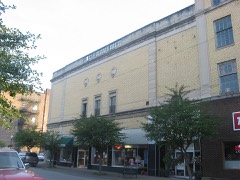
Marlow Theatrebuilding200808000149
Marting Hotelbuilding199999000331
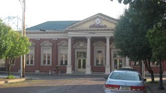
Norfolk And Western Railroad Depotbuilding197878002099
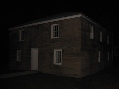
Old Lawrence County Jailbuilding197878002097
Olive Furnacestructure200707000299
Scottown Covered Bridgestructure197575001456
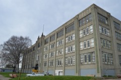
Selby Shoe Company Buildingbuilding200909000444
Vesuvius Furnacestructure199089001714
Vesuvius Furnace--Stone Bridge (Boundary Decrease)structure201111000671

Covered bridges

1

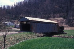
Lawrence County holds 1 covered bridges on the National Register, more than any other property type here. Each is a listed structure with a federal nomination on file.

Scottown Covered BridgeListed 1975, 0 map sheets show this crossing

Digitised newspapers

5 issues

Sampled issues, machine-read from the Library of Congress scan and published page by page, so every headline and column is searchable text.

The Ironton News

Ironton, Ohio, 1899 to 1937. Machine-read from the Library of Congress scan.

Bird's-eye views and land ownership maps

1

Drawn when these were printed as single large sheets: the town seen from the air, and the county divided into its farms with every owner named. Each opens the original at the Library of Congress.

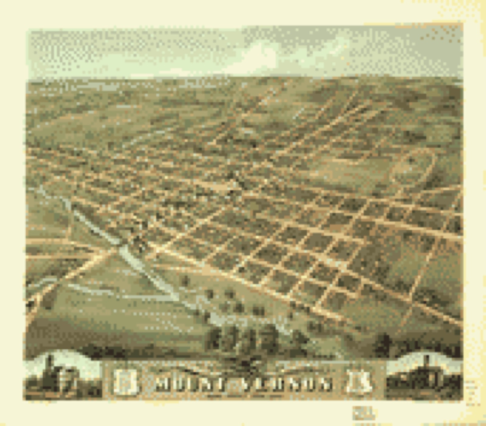
Bird's-eye view, 1870 - Bird's eye view of the city of Mount Vernon, Knox County, Ohio 1870
Bird's-eye view (1870) - Bird's eye view of the city of Mount Vernon, Knox County, Ohio 1870. Library of Congress.

The county from the air

40 of 1,165 shown

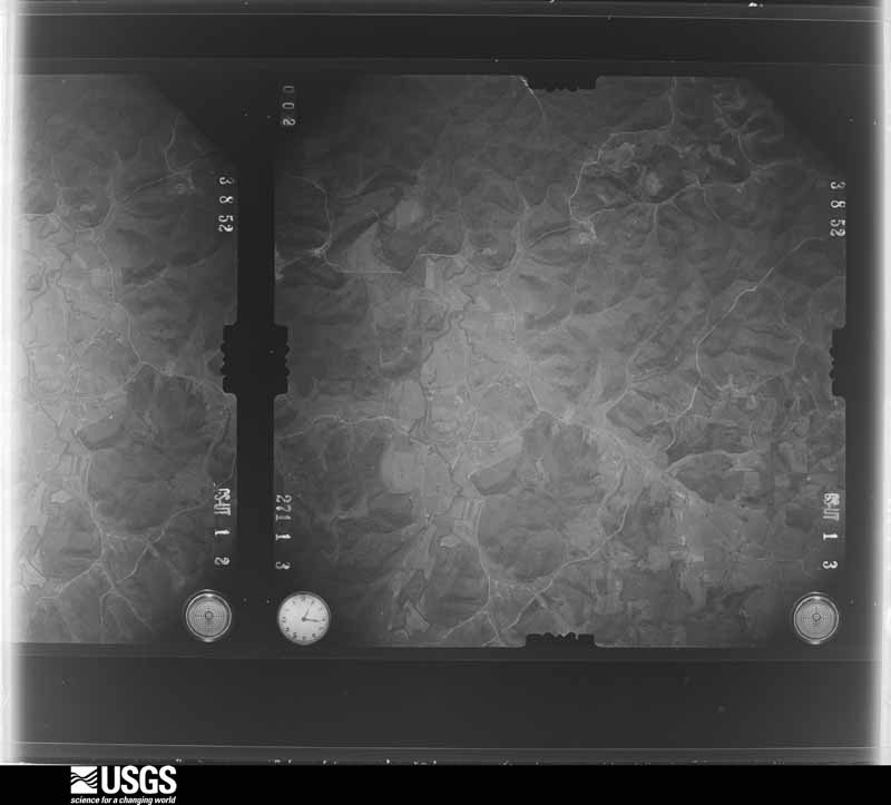
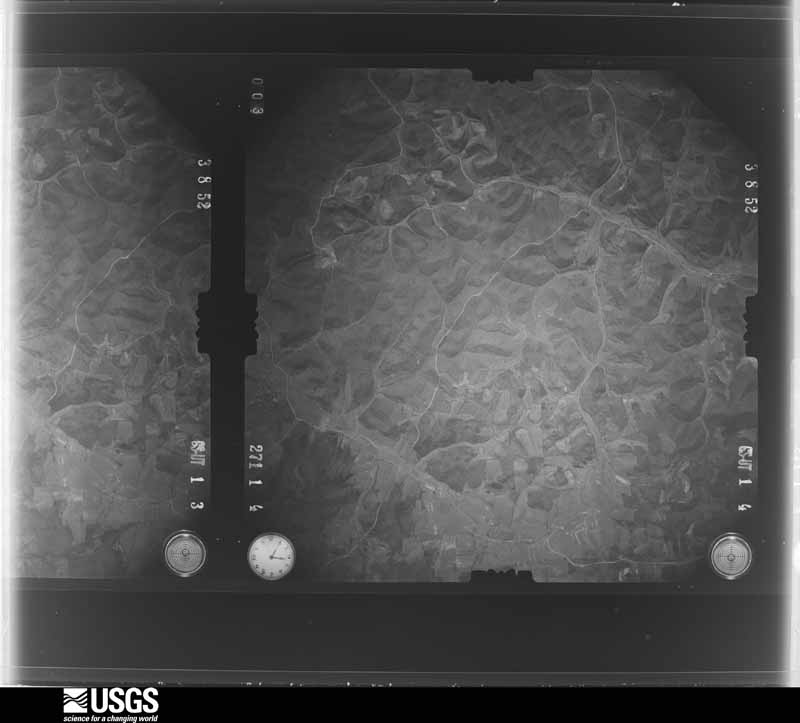
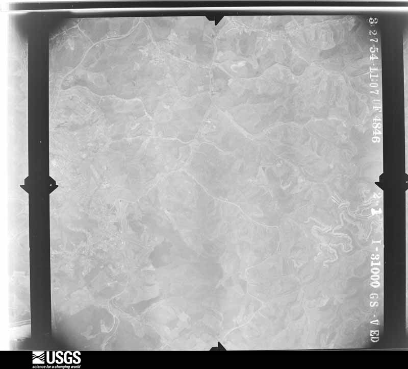
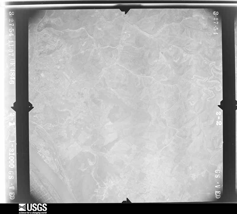
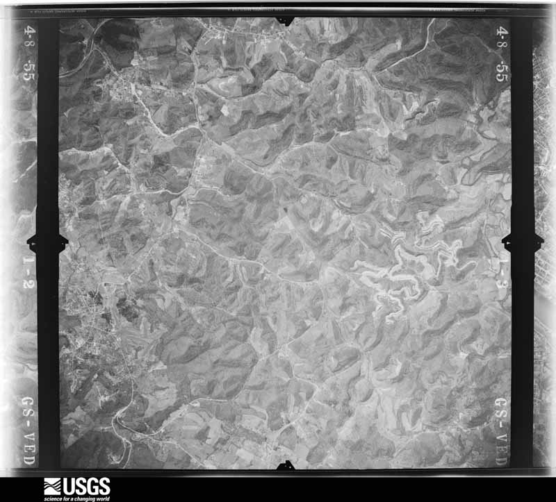
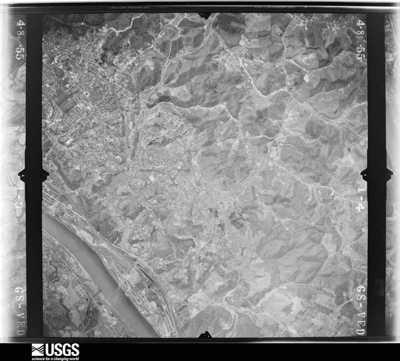
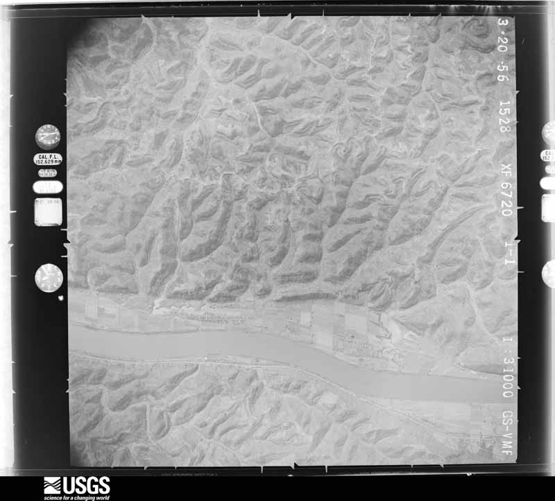
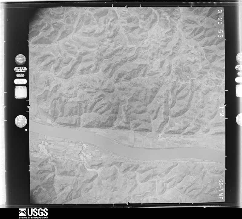
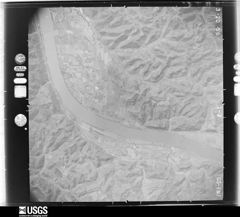
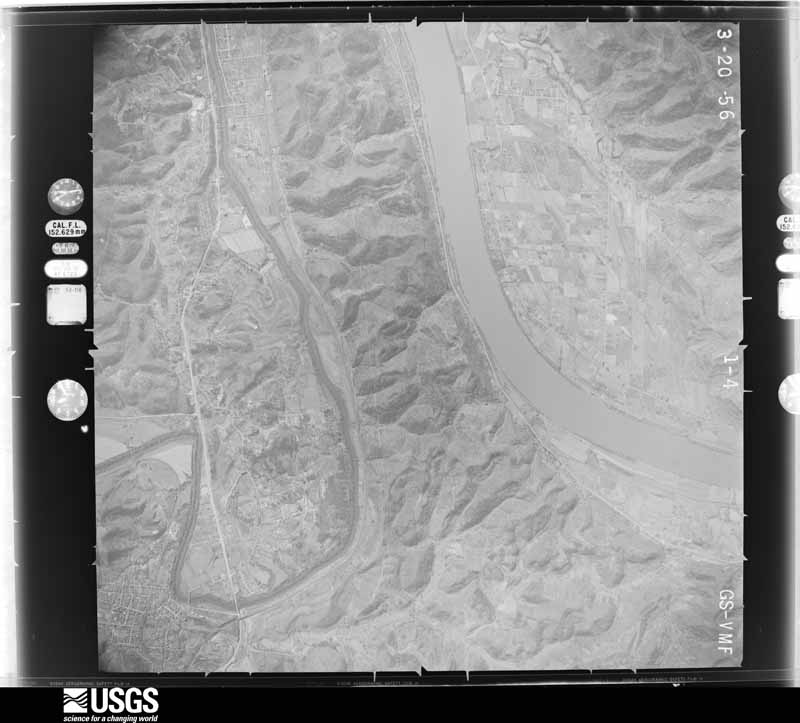
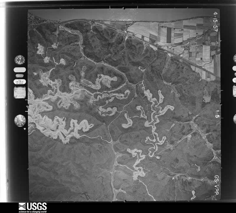
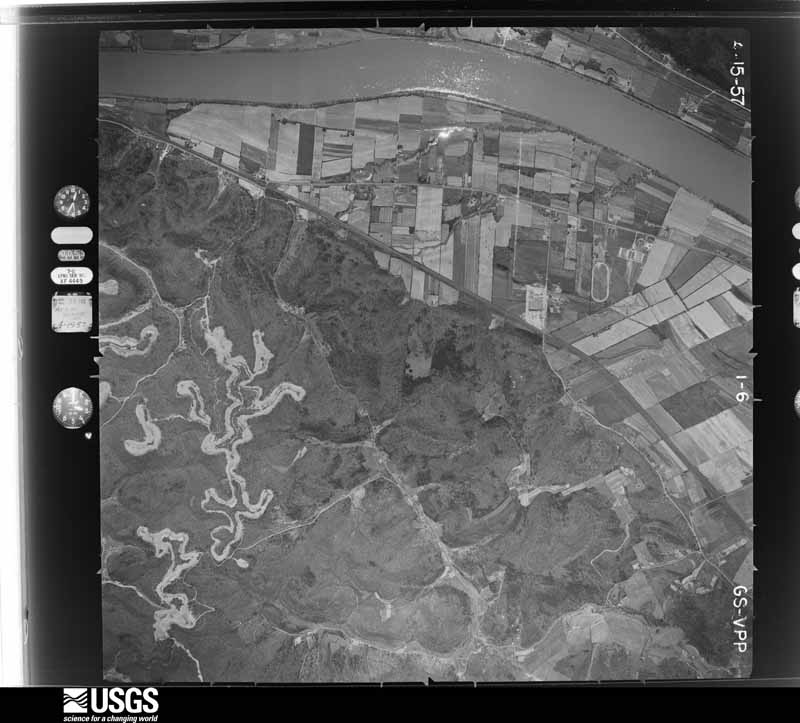
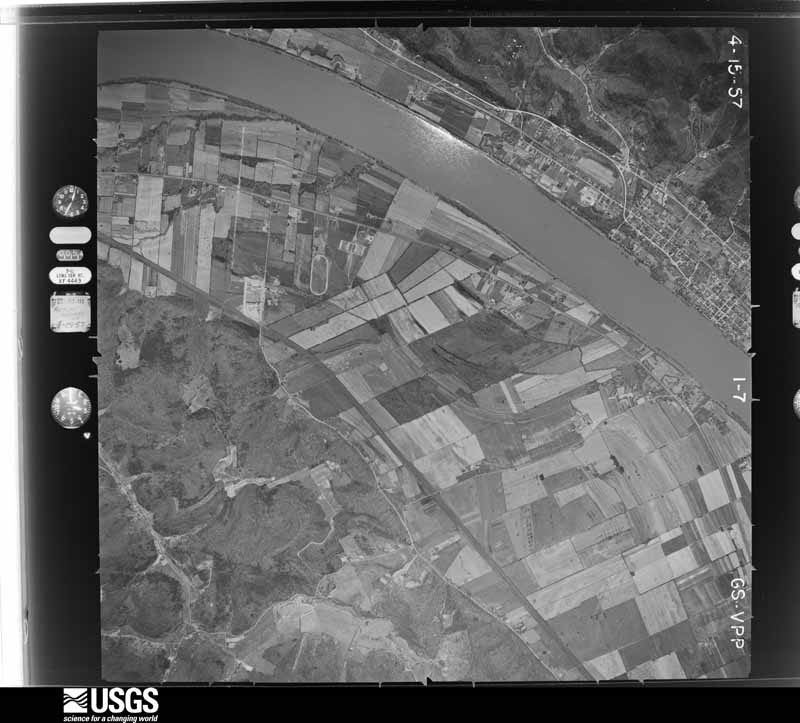
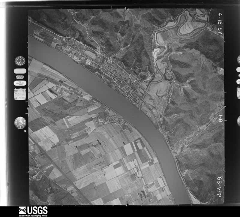
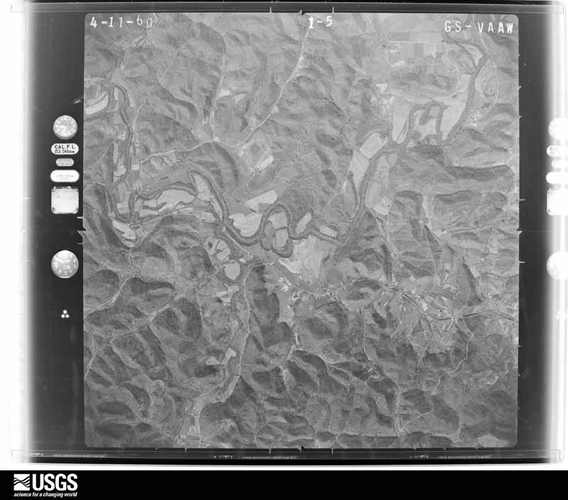
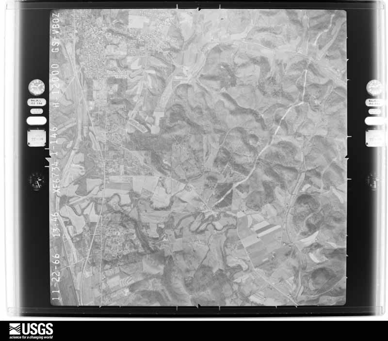
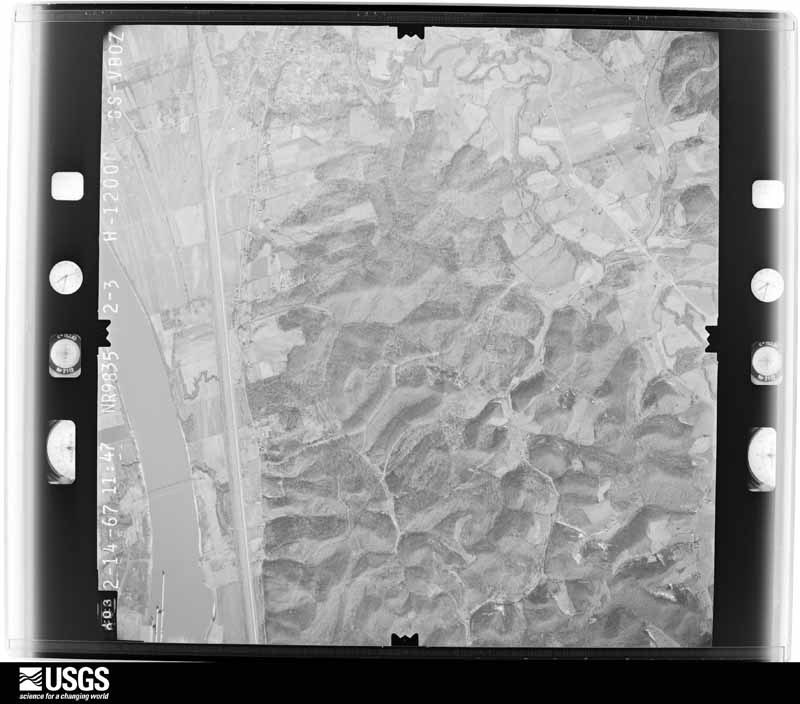
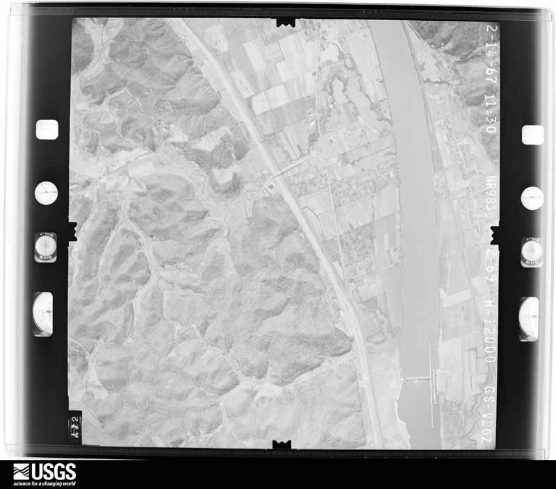
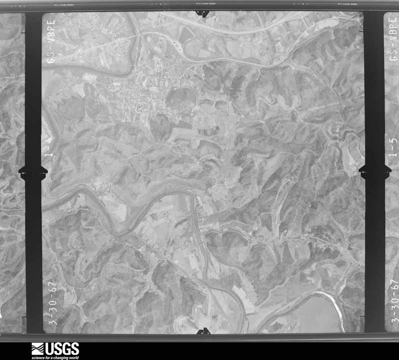
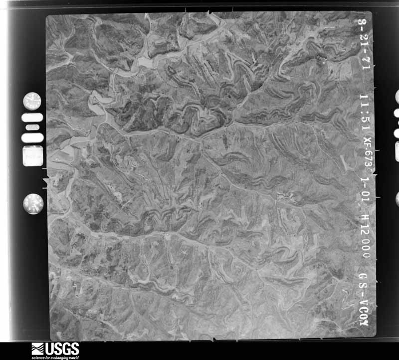
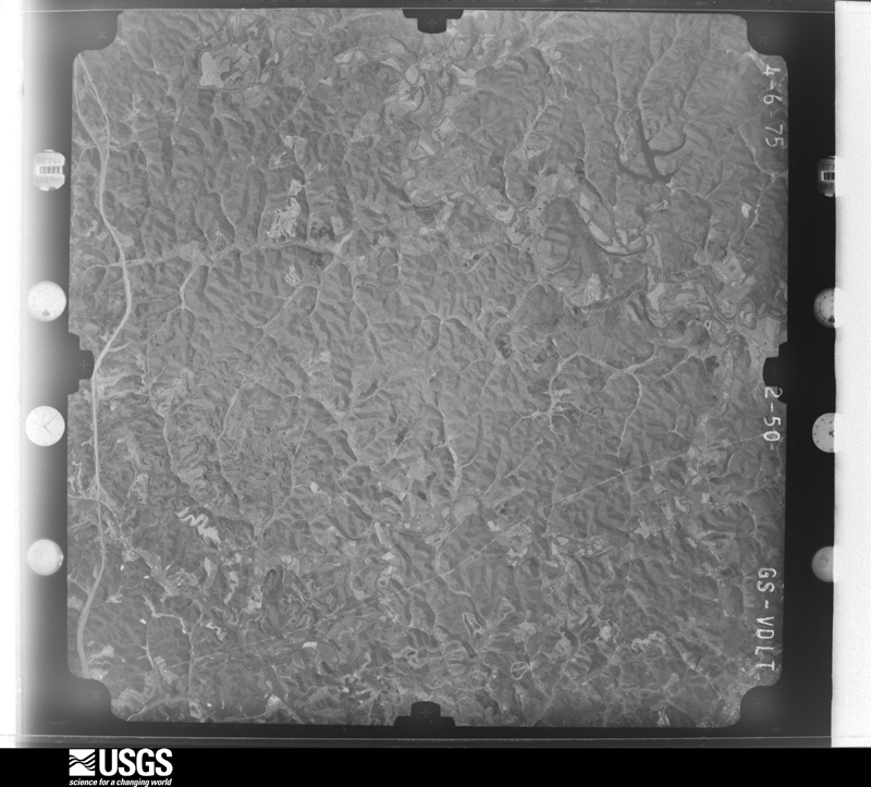
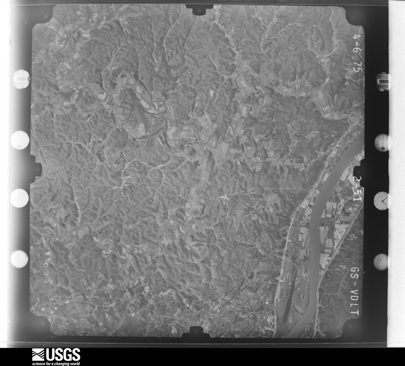
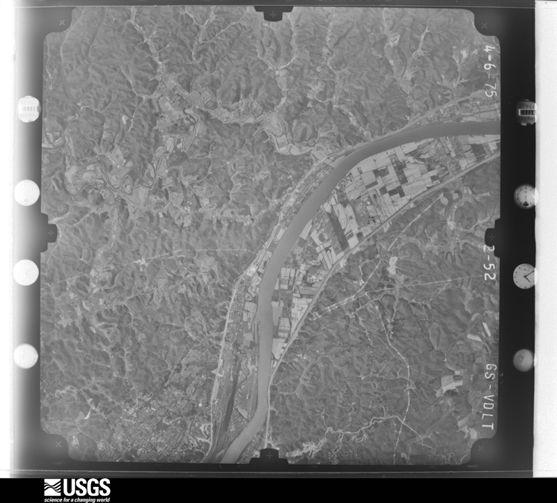
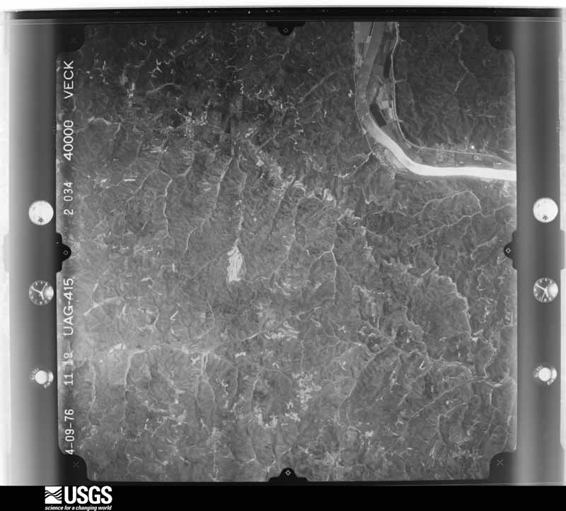
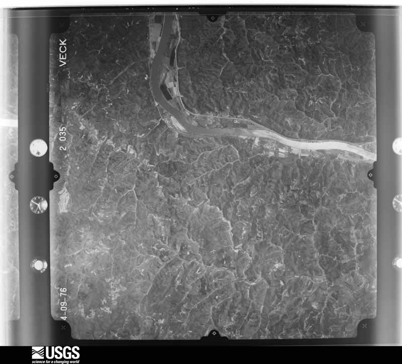
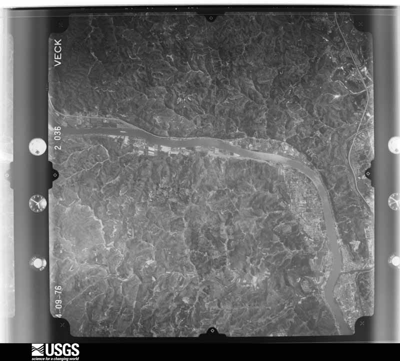
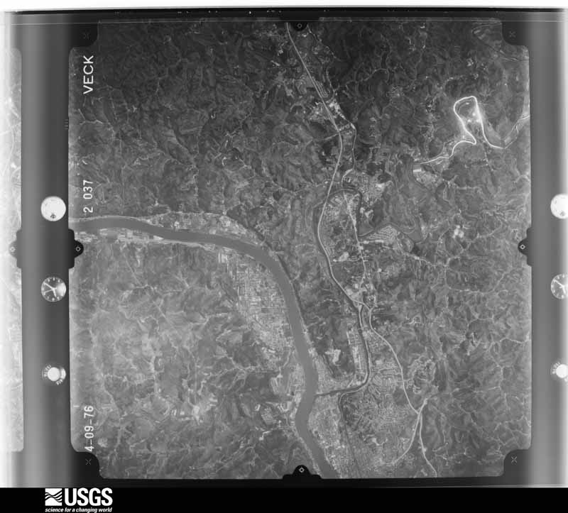
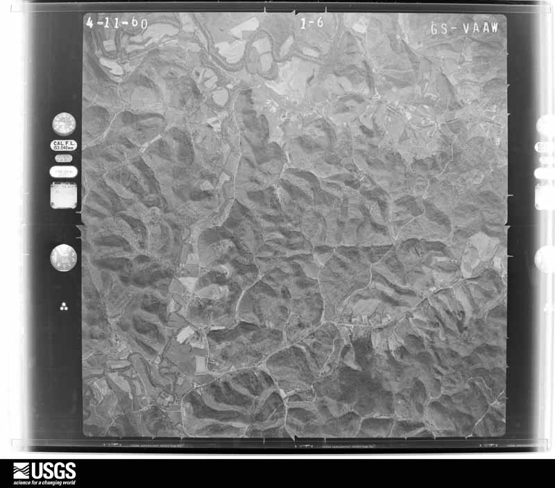
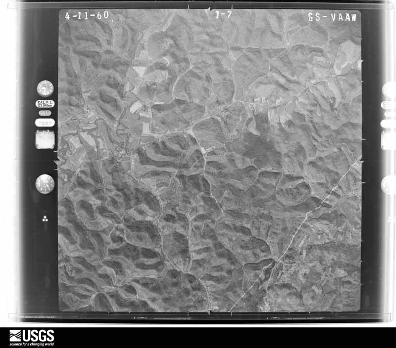
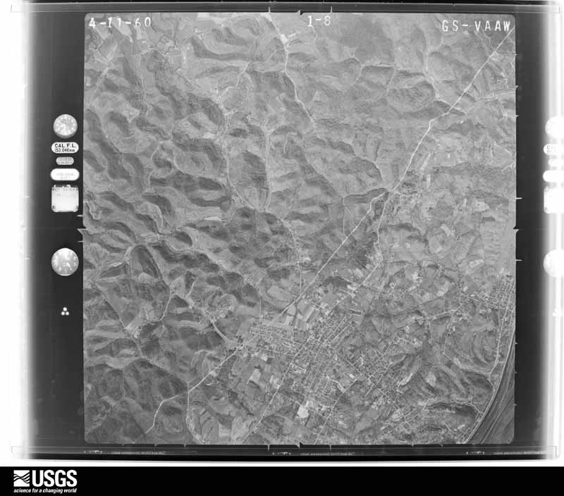
Flown by the U.S. Geological Survey between 1937 and 1989, the Aerial Photo Single Frames collection is the definitive mid-century view of the land: fields, roads and rivers as the camera saw them. 1,165 frames touch this county; the selection below spreads across the decades of flights (at most four per year), so one flight cannot crowd out the rest. The full set is free to browse and download at EarthExplorer under the dataset Aerial Photo Single Frames.

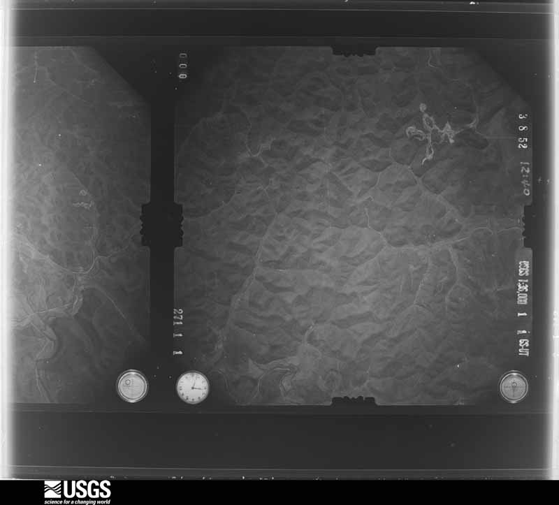
U.S. Geological Survey aerial photograph, 1952-03-08, scale 1:36000
1952-03-08, scale 1:36000. U.S. Geological Survey aerial photograph.
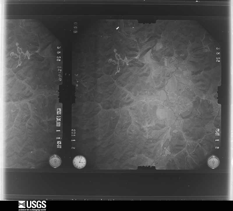
U.S. Geological Survey aerial photograph, 1952-03-08, scale 1:36000
1952-03-08, scale 1:36000. U.S. Geological Survey aerial photograph.
U.S. Geological Survey aerial photograph, 1952-03-08, scale 1:36000
1952-03-08, scale 1:36000. U.S. Geological Survey aerial photograph.
U.S. Geological Survey aerial photograph, 1952-03-08, scale 1:36000
1952-03-08, scale 1:36000. U.S. Geological Survey aerial photograph.
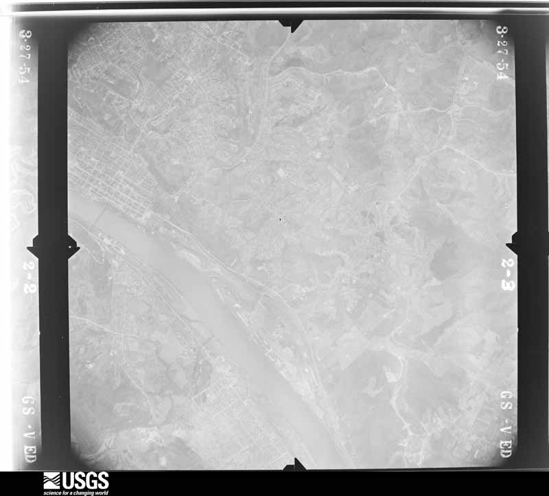
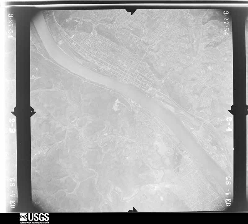
U.S. Geological Survey aerial photograph, 1954-03-27, scale 1:31000
1954-03-27, scale 1:31000. U.S. Geological Survey aerial photograph.
U.S. Geological Survey aerial photograph, 1954-03-27, scale 1:31000
1954-03-27, scale 1:31000. U.S. Geological Survey aerial photograph.
U.S. Geological Survey aerial photograph, 1954-03-27, scale 1:31000
1954-03-27, scale 1:31000. U.S. Geological Survey aerial photograph.
U.S. Geological Survey aerial photograph, 1954-03-27, scale 1:31000
1954-03-27, scale 1:31000. U.S. Geological Survey aerial photograph.
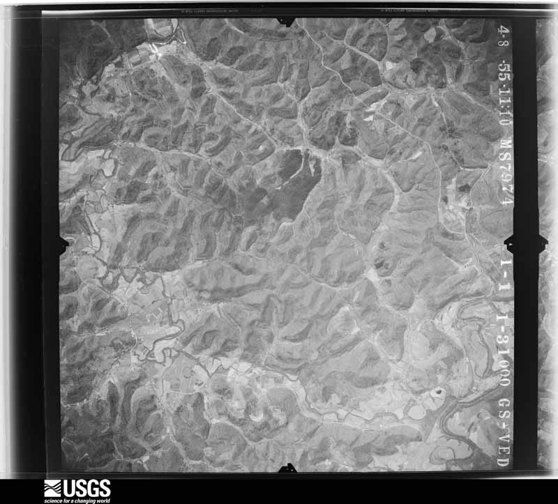
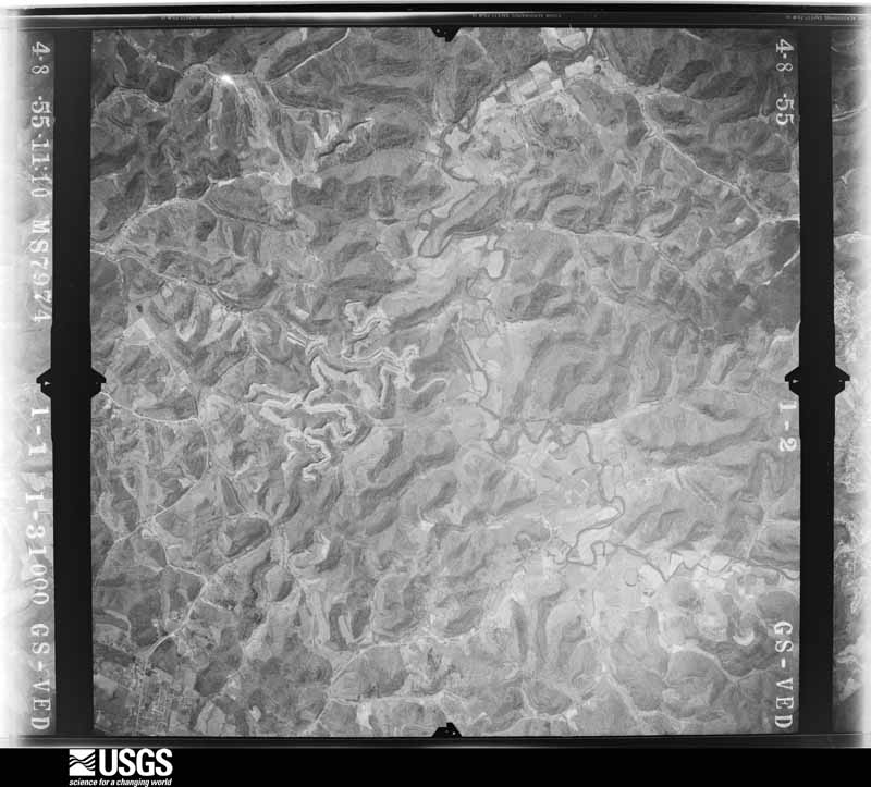
U.S. Geological Survey aerial photograph, 1955-04-08, scale 1:31000
1955-04-08, scale 1:31000. U.S. Geological Survey aerial photograph.
U.S. Geological Survey aerial photograph, 1955-04-08, scale 1:31000
1955-04-08, scale 1:31000. U.S. Geological Survey aerial photograph.
U.S. Geological Survey aerial photograph, 1955-04-08, scale 1:31000
1955-04-08, scale 1:31000. U.S. Geological Survey aerial photograph.
U.S. Geological Survey aerial photograph, 1955-04-08, scale 1:31000
1955-04-08, scale 1:31000. U.S. Geological Survey aerial photograph.
U.S. Geological Survey aerial photograph, 1956-03-20, scale 1:31000
1956-03-20, scale 1:31000. U.S. Geological Survey aerial photograph.
U.S. Geological Survey aerial photograph, 1956-03-20, scale 1:31000
1956-03-20, scale 1:31000. U.S. Geological Survey aerial photograph.
U.S. Geological Survey aerial photograph, 1956-03-20, scale 1:31000
1956-03-20, scale 1:31000. U.S. Geological Survey aerial photograph.
U.S. Geological Survey aerial photograph, 1956-03-20, scale 1:31000
1956-03-20, scale 1:31000. U.S. Geological Survey aerial photograph.
U.S. Geological Survey aerial photograph, 1957-04-15, scale 1:24000
1957-04-15, scale 1:24000. U.S. Geological Survey aerial photograph.
U.S. Geological Survey aerial photograph, 1957-04-15, scale 1:24000
1957-04-15, scale 1:24000. U.S. Geological Survey aerial photograph.
U.S. Geological Survey aerial photograph, 1957-04-15, scale 1:24000
1957-04-15, scale 1:24000. U.S. Geological Survey aerial photograph.
U.S. Geological Survey aerial photograph, 1957-04-15, scale 1:24000
1957-04-15, scale 1:24000. U.S. Geological Survey aerial photograph.
U.S. Geological Survey aerial photograph, 1960-04-11, scale 1:28000
1960-04-11, scale 1:28000. U.S. Geological Survey aerial photograph.
U.S. Geological Survey aerial photograph, 1960-04-11, scale 1:28000
1960-04-11, scale 1:28000. U.S. Geological Survey aerial photograph.
U.S. Geological Survey aerial photograph, 1960-04-11, scale 1:28000
1960-04-11, scale 1:28000. U.S. Geological Survey aerial photograph.
U.S. Geological Survey aerial photograph, 1960-04-11, scale 1:28000
1960-04-11, scale 1:28000. U.S. Geological Survey aerial photograph.
U.S. Geological Survey aerial photograph, 1967-02-14, scale 1:24000
1967-02-14, scale 1:24000. U.S. Geological Survey aerial photograph.
U.S. Geological Survey aerial photograph, 1967-02-14, scale 1:24000
1967-02-14, scale 1:24000. U.S. Geological Survey aerial photograph.
U.S. Geological Survey aerial photograph, 1967-02-14, scale 1:24000
1967-02-14, scale 1:24000. U.S. Geological Survey aerial photograph.
U.S. Geological Survey aerial photograph, 1967-03-30, scale 1:24000
1967-03-30, scale 1:24000. U.S. Geological Survey aerial photograph.
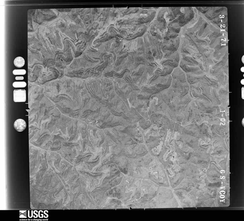
U.S. Geological Survey aerial photograph, 1971-03-21, scale 1:24000
1971-03-21, scale 1:24000. U.S. Geological Survey aerial photograph.
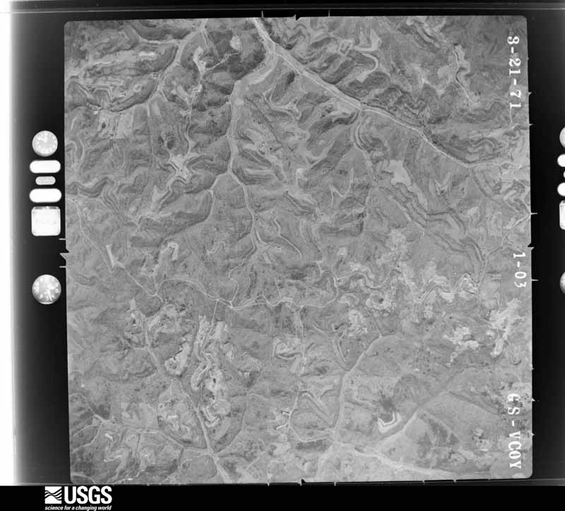
U.S. Geological Survey aerial photograph, 1971-03-21, scale 1:24000
1971-03-21, scale 1:24000. U.S. Geological Survey aerial photograph.
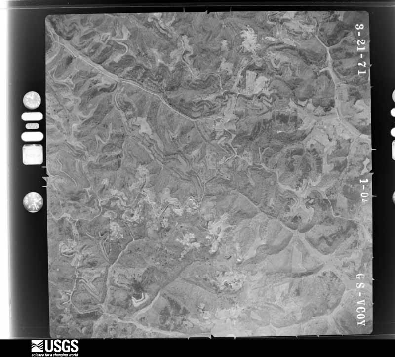
U.S. Geological Survey aerial photograph, 1971-03-21, scale 1:24000
1971-03-21, scale 1:24000. U.S. Geological Survey aerial photograph.
U.S. Geological Survey aerial photograph, 1971-03-21, scale 1:24000
1971-03-21, scale 1:24000. U.S. Geological Survey aerial photograph.
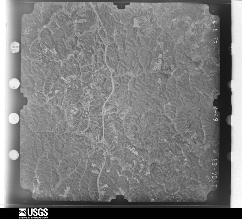
U.S. Geological Survey aerial photograph, 1975-04-06, scale 1:78000
1975-04-06, scale 1:78000. U.S. Geological Survey aerial photograph.
U.S. Geological Survey aerial photograph, 1975-04-06, scale 1:78000
1975-04-06, scale 1:78000. U.S. Geological Survey aerial photograph.
U.S. Geological Survey aerial photograph, 1975-04-06, scale 1:78000
1975-04-06, scale 1:78000. U.S. Geological Survey aerial photograph.
U.S. Geological Survey aerial photograph, 1975-04-06, scale 1:78000
1975-04-06, scale 1:78000. U.S. Geological Survey aerial photograph.
U.S. Geological Survey aerial photograph, 1976-04-01, scale 1:80000
1976-04-01, scale 1:80000. U.S. Geological Survey aerial photograph.
U.S. Geological Survey aerial photograph, 1976-04-01, scale 1:80000
1976-04-01, scale 1:80000. U.S. Geological Survey aerial photograph.
U.S. Geological Survey aerial photograph, 1976-04-01, scale 1:80000
1976-04-01, scale 1:80000. U.S. Geological Survey aerial photograph.
U.S. Geological Survey aerial photograph, 1976-04-01, scale 1:80000
1976-04-01, scale 1:80000. U.S. Geological Survey aerial photograph.

City directories

1 volume

The "who lived here, by year" answer: pre-1929 public-domain directory volumes naming the county's people, machine-read and searchable as text.

Weather records

29 stations, 13 gages

The thermometers that kept this county's weather, and the gages that watched its rivers, as the federal records hold them. The extremes below are measured values from those records, not estimates.

The 1950 census, district by district

61 districts

Who lived here in 1950, one enumeration district at a time, as the Census Bureau described each district. Each row opens its official National Archives result, with Population Schedules and ED Maps available there.

  • 44-1Aid township
  • 44-2Decatur township
  • 44-3Elizabeth township: Elizabeth township - That part east of State Hwy. 75
  • 44-4Elizabeth township - That part west of State Hwy. 75 and north of Little Darby Creek
  • 44-5Elizabeth township - That part west of State Hwy. 75 and south of Little Darby Creek
  • 44-6South Point village, Comprising parts of Fayette and Perry townships: South Point village - That part in Fayette township
  • 44-7South Point village - That part in Perry township
  • 44-8Fayette township, outside South Point village, Fayette township - That part east of the section line from the northeast corner of section 3, Township 1, Range 17, south to county line
  • 44-9Fayette township - That part west of the section line from the Northeast corner of section 3, Township 1, Range 17, south to county line (Remainder of Fayette township is in South Point village)
  • 44-10Ironton city, Comprising parts of Hamilton and Upper townships: Ironton city - That part of Ward 1 in Hamilton township Bounded by City limits; Township line; City limits; City limits
  • 44-11Ironton city - That part of Ward 1 in Upper township Bounded by City limits; City limits; City limits, Storms Creek, Norfolk & Western Railroad; Township line
  • 44-12Ironton city - That part of Ward 1 in Upper township Bounded by Norfolk & Western Railroad; Elm; City limits; Township line
  • 44-13Ironton city - That part of Ward 1 in Upper township Bounded by Storms Creek; Yellow Branch Rd., Storms, Hecla; Overhead Crossing, Union, City limits; Elm, Norfolk & Western Railroad
  • 44-14Ironton city - That part of Ward 1 in Upper township Bounded by Union, Overhead Crossing, Hecla, Storms, Yellow Branch Rd.; Storms Creek, City limits; Ward line, Lawrence, Ward line; City limits
  • 44-15Ironton city - That part of Ward 2 in Upper township Bounded by Vernon; City limits; Ward line; 8th
  • 44-16Ironton city - That part of Ward 2 in Upper township Bounded by Vernon; 8th; Ward line, Monroe; 5th
  • 44-17Ironton city - That part of Ward 2 in Upper township Bounded by Lawrence, Ward line, City limits; City limits; Vernon; 5th
  • 44-18Ironton city - That part of Ward 2 in Upper township, excluding New Marting Hotel Bounded by Ward line, Lawrence; 5th; Vernon, Ironton - Russell Bridge; City limits
  • 44-19New Marting Hotel (In Ironton city, Ward 2, Upper township)
  • 44-20Ironton city - That part of Ward 2 in Upper township Bounded by Ironton - Russell Bridge, Vernon; 5th; Monroe, Ward line; City limits
  • 44-21Ironton city - That part of Ward 3 in Upper township Bounded by Ward line, City limits; City limits; City limits, 11th, Pine; 9th
  • 44-22Ironton city - That part in Ward 3 in Upper township Bounded by Monroe, Ward line; 9th, Pine, 11th; Ward line; 7th
  • 44-23Ironton city - That part of Ward 3 in Upper township Bounded by Monroe; 7th; Walnut; 4th
  • 44-24Ironton city - That part of Ward 3 in Upper Township Bounded by Walnut; 7th; Ward line, Ellison; 4th
  • 44-25Ironton city - That part of Ward 3 in Upper township Bounded by Monroe; 4th; Ward line, 3rd, Ellison; 2nd
  • 44-26Ironton city - That part of Ward 3 in Upper township Bounded by Ward line, Monroe; 2nd; Ellison, Ward line; City limits
  • 44-27Ironton city - That part of Ward 4 in Upper township Bounded by Pleasant; City limits; Adams Lane, Lorain; 9th
  • 44-28Ironton city - That part of Ward 4 in Upper township Bounded by Ward line; City limits; Pleasant; 6th
  • 44-29Ironton city - That part of Ward 4 in Upper township Bounded by Ellison; 6th; Pleasant; 4th
  • 44-30Ironton city - That part of Ward 4 in Upper township Bounded by Ellison, 3rd, Ward line; 4th; Pleasant, 3rd, Scott; 2nd
  • 44-31Ironton city - That part of Ward 4 in Upper township Bounded by Pleasant; 9th; Wyanoke; 5th
  • 44-32Ironton city - That part of Ward 4 in Upper township Bounded by Wyanoke; 9th; Lorain; 3rd, Ashtabula, 5th
  • 44-33Ironton city - That part of Ward 4 in Upper township Bounded by Lorain, Adams Lane; City Limits; City Limits; 3rd
  • 44-34Ironton city - That part of Ward 4 Upper township Bounded by Ward line; 2nd, Scott, 3rd, Pleasant, 5th, Ashtabula, 3rd; City limits; City limits
  • 44-35Hamilton township, outside Ironton city: Hanging Rock village
  • 44-36Hamilton township - That part outside Hanging Rock village and Ironton city (Remainder of Hamilton township is in Ironton city)
  • 44-37Lawrence township Lawrence township - That part north of State Hwys. 217 and 141
  • 44-38Lawrence township - That part south of State Hwys. 217 and 141
  • 44-39Mason township: Mason township - That part north of State Hwys. 141 and 775
  • 44-40Mason township - That part south of State Hwys. 141 and 775
  • 44-41Perry township, outside South Point village: Perry township - That part north of State Hwy. 243
  • 44-42Perry township - That part south of State Hwy. 243, outside South Point village (Remainder of Perry township is in South Point village)
  • 44-43Rome township: Athalia village
  • 44-44Rome township - That part north of the section line from the northwest corner of section 31, Township 2, Range 15, east to Athalia village limits, outside Athalia village
  • 44-45Rome township - That part south of the section line from the northwest corner of section 31, Township 2, Range 15, east to Athalia village limits, outside Athalia village
  • 44-46Symmes township
  • 44-47Union township: Chesapeake village: Chesapeake village - That part Bounded by Village limits; Village limits; Village limits; Symmes Creek
  • 44-48Chesapeake village - That part Bounded by Village limits; Symmes Creek; Village limits; Village limits
  • 44-49Proctorville village
  • 44-50Union township - That part east of the section line from the northeast corner of section 3, Township 1, Range 16, south to County line, outside Proctorville village
  • 44-51Union township - That part east of Symmes Creek and west of the section line from the northeast corner of section 3, Township 1, Range 16, south to County line, outside Chesapeake village
  • 44-52Union township - That part Bounded by Township line; Symmes Creek, Chesapeake village limits, Unnamed road extended, Unnamed road, Rosslyn, U.S. Hwy. 52, Unnamed stream; County line; Township line
  • 44-53Union township - That part Bounded by Unnamed road, Unnamed road extended; Chesapeake village limits; County line; Unnamed stream, U.S. Hwy. 52, Rosslyn
  • 44-54Upper township, outside Ironton city: Coal Grove village: Coal Grove village - That part Bounded by Village limits; Village limits; State Hwy. 243, Ironton Marion Turnpike, U.S. Hwy. 52; Village limits
  • 44-55Coal Grove village - That part Bounded by U.S. Hwy. 52, Ironton Marion Turnpike, State Hwy. 243; Lane, U.S. Hwy. 52, Ashland Bridge; Ohio River; Village limits
  • 44-56Coal Grove village - That part Bounded by State Hwy. 243; Village limits; Ohio River; Ashland Bridge, U.S. Hwy. 52, Lane
  • 44-57Upper township - That part east of State Hwy. 75, outside Coal Grove village and Ironton city
  • 44-58Upper township - That part west of State Hwy. 75, outside Ironton city (Remainder of Upper township is in Ironton city)
  • 44-59Washington township
  • 44-60N/A
  • 44-61Windsor township - That part south of State Hwy. 217

Businesses named in the atlases

28 businesses

Every Sanborn volume opens with a printed index naming the town's mills, tanneries, hotels and works by proprietor. Those indexes were read off the scanned sheets by machine and then matched to each other, so a business surveyed four times appears here once, with the years it survived. 5 of these 28 were named in more than one atlas. Each carries a crop of the line it was read from: the spelling is the recogniser's and the 1880s lithographer's, and the scan behind it is the proof.

Wildfire, 1992 to 2020

1,630 fires

Every wildfire the federal occurrence database records inside this county: 1,630 of them, burning about 12,376 acres. 6 started naturally and 428 were recorded as arson. Each settlement page carries the fires within five miles of it.

Reported cause Fires
Debris and open burning604
Arson/incendiarism428
Missing data/not specified/undetermined367
Equipment and vehicle use67
Recreation and ceremony59
Other causes27
Misuse of fire by a minor24
Power generation/transmission/distribution23
Smoking17
Natural6
Railroad operations and maintenance5
Fireworks3

The five largest, by the area the report gives. One of them was set deliberately.

DateCause SizeReported by Name on the report
7 March 2009Missing data/not specified/undetermined310 acresOhio Department of Natural ResourcesFEDERAL CREEK
17 April 2005Equipment and vehicle use303 acresWayne National ForestBINION FIRE
20 February 2001Arson/incendiarism300 acresWayne National ForestBRADY CREEK
3 April 2011Recreation and ceremony290 acresKentucky Division of ForestryPLEASANT VALLEY RD
10 September 2018Power generation/transmission/distribution250 acresOhio Department of Natural Resources11905
6 April 1999Debris and open burning201 acresWayne National ForestDELOSS CREEK
9 March 2009Debris and open burning200 acresWayne National ForestDEEP CUT FIRE
10 March 2009Debris and open burning200 acresOhio Department of Natural Resourcesnot named

Every settlement page carries the fires within five miles of it - see the settlement index below.

Storms, 1968 to 2026

60 of 412 shown

The NOAA Storm Events Database holds 412 reports for this county, causing 1 death, 6 injuries and about $28,166,980 in recorded property damage. Each settlement page carries the reports that name it.

Kind of event Reports
Thunderstorm Wind205
Hail94
Flood48
Flash Flood44
Tornado9
Heavy Rain5
Funnel Cloud4
Lightning3

The most serious of them, by death, then injury, then recorded damage. The accounts are quoted exactly as the forecast office filed them.

WhenEvent Place namedHarm What the report says
July 2000FloodScottown1 killedAn eleven year old boy drowned in Indian Guyan Creek, swollen by the rains of the preceding evening. Rains of 2 to 3 inches were common in the vicinity, with Lesage measuring 3.1 inches, Willow Wood at 2.35 inches and Hogsett, West Virginia with 2.48 inches. The location was near the covered bridge at the junction of Routes 217 and 67. According to the Windsor Township Fire Chief, the boy waded through shallow water, only to step off the bank into much deeper water. After the water levels had receded, his body was found a few days later, about a mile downstream.
July 2009LightningRoyersville3 hurtThree people were struck by lightning along Elizabeth Township Route 323. Four people were riding all terrain vehicles, when a downpour had them seek shelter under a tree. One of the victims said, there was no thunder or lightning. We were just trying to stay dry and the lightning just hit all at once. One woman was knocked unconscious for about 20 minutes. The 2 females were transported by ambulance to Cabell Huntington Hospital, while the third person did not seek treatment. The woman that was knocked unconscious checked out of the hospital with no injuries. The other woman spent 3 days in the hospital undergoing tests. She was still having vision problems and pain in her hands and feet.
April 2024Tornado (EF1)Hanging Rock1 hurt, $100,000A tornado that began in Greenup County, Kentucky finally crossed the Ohio River and impacted a campground on the Ohio side at Hanging Rock. More significant damage was noted here as several travel trailers were overturned, the roof was blown off of the Laidback Bar, and significant tree damage was noted in the adjacent camping area. Drone footage showed campers tossed in a counter-clockwise motion and some convergence in the tree damage. A salt storage dome was also destroyed in this area, causing significant injury to an employee.||The tornado continued to track eastward, damaging a few homes and damaging the roof and ballfields at Ironton Middle School. The tornado weakened but continued to cause some sporadic damage to homes all the way to the Storms Creek Flood Wall.
July 2008Thunderstorm WindChspk Lawrence Co Ar1 hurt, $15,000A hangar door was ripped from its hinges. The door flipped over the building and injured a woman.
April 1968Tornado (F5)not stated1 hurt, $30no account filed
May 2011Flash FloodBlackfork$8,000,000Flashing flooding was common in the county. Numerous water rescues occurred both from homes and vehicles. The main concentration of damage was around Pedro, Ironton, Kitts Hill and Rock Camp. The state of Ohio reported 40 homes had major damage and 40 other homes had minor damage. Five businesses were also affected to some degree. Damage to roads, small bridges, and culverts occurred. Numerous water rescues occurred.
July 2010Flash FloodHanging Rock$4,000,000Around 150 properties reported damage. Of that number, about 30 to 35 homes sustained major damage or were destroyed. Two county timber bridges were washed away. A historic double stone arch bridge at Lake Vesuvius was severely damaged. It was built in the 1930s. Several private bridges and culverts were also damaged or destroyed, creating access issues. One school was damaged along with some churches. Debris, including large boulders, also slid off unstable hillsides onto roads. ||A lot of the damage was concentrated in the Storms Creek. That was along and near Route 93. Yet, even along Solida Creek north of South Point, damaged occurred. Overall, Hamilton, Upper, Elizabeth, and Fayette Townships reported the most damage in the county. Some of this same area was flooded during May of 2010.||Thankfully, there were no fatalities in Lawrence County. One male residence along Route 93 woke up in a thunderstorm around 0100E. He was going to back his truck out of the garage and drive to check on another property. The electricity was out. Luckily, he got a flashlight and noticed his private driveway bridge was washed away before attempting to leave.
June 1980Tornado (F1)not stated$2,500,000no account filed
May 2010FloodPine Grove$2,000,000During the heavy rain, 13 of the 15 fire departments in the county were responding to water related incidents. At least 15 water rescues were conducted by the fire departments and law enforcement. The county declared a local emergency. ||Throughout the county, 6 dwellings were destroyed, 8 had major damage, and 14 had minor damage. The Red Cross provided temporary housing to 6 families, while many other displaced residents stayed with family or friends. A large landslide damaged County Route 5 along Elkins Creek.
March 1997Flash FloodCountywide$2,000,000no account filed
June 2012Thunderstorm WindBuckhorn$1,500,000Scattered locations throughout the county had large trees and branches blown down. Around 13,400 customers lost electricity. The county engineer said the 911 center encountered a large volume of calls from people who were dependent on oxygen machines and were without electricity. He summarized the whole event by saying, we just had a bad evening. Two overnight shelters were opened and supported by faith-based organizations for 4 days. These were in Ironton and Chesapeake. The South Point Volunteer Fire Department also provided shelter accommodations.||The public infrastructure damage assessment was around $239,000.
March 1997Flash FloodCountywide$1,000,000no account filed
June 2008FloodWaterloo$750,000The rains on the 3rd set up Lawrence County for significant small stream flooding during the afternoon and night on the 4th. Pine Creek, Little Pine Creek, Symmes Creek, Canoons Creek, Johns Creek and Little Ice Creek were the main culprits. About 4 mobile homes were destroyed due to water damage, mostly along Pine Creek and County Route 27. About 10 dwelling had major damage. A few bridges and several culverts were damaged. Landslides also occurred.
May 2001Flash FloodCountywide$400,000For the 2 rounds of flash flooding in Lawrence County, the Ohio Emergency Management Agency reported 6 mobile homes and 2 single family dwellings were destroyed. Minor damage was sustained by 4 homes. One church had major damage. A resident along Kimble Creek said, "I never saw water like this here before, not in the 57 years I've lived here." Route 93 was damaged. Several residents had private bridges damaged or washed away, leaving them stranded. Along Symmes Creek near Aid, residents reported water about a foot lower than in March of 1997. The Lawrence County Board of Commissioners later declared a local state of emergency. About a dozen families asked the American Red Cross for assistance.
February 2000Flash FloodCountywide$400,000no account filed
June 1996Flash FloodEastern Half$400,000no account filed
July 1996Flash FloodCountywide$400,000no account filed
July 2015FloodWaterloo$325,000The gauge on Symmes Creek at Aid crested around 22.77 feet just before dawn on the 16th. Bankfull is around 19 feet. Water flooded fields, closed roads, and surrounded a few homes around Waterloo, Arabia, Aid, and Willow Wood. Preliminary damage assessment had 1 single family house with minor flood damage when a portion of its foundation was undercut by the stream. One other single family house had water in its basement, while a mobile home had water in its crawl space. The lower hay and corn fields along the stream were damaged. ||It took until late on the 17th before water levels receded back to below bankfull.
July 2015Flash FloodKelley Mills$250,000Small streams quickly rose and closed roads. One example was Four Mile Creek north of Proctorville. Prickley Ash Creek damaged the Pleasants Valley Freewill Church along Country Road 27 near Pedro. The building was moved off its foundation. There was 32 inches of water inside. One mobile home along Route 93 was destroyed by flood waters. A few other homes had minor damage.
June 2009Flash FloodKelley Mills$250,000Rains of around 2 inches in 2 hours caused small streams to flood roads. Streams such as Little Pine, Ellisonville, Little Storms, and Cannons Creeks flooded. Around a half dozen homes were evacuated. Around 8 homes sustained minor to major damage, while 14 other properties were affected to a lesser degree. One resident in a mobile home had his car and ATV flooded.
July 2007Thunderstorm WindProctorville$250,000A small portion of the roof to Fairland Middle School was damaged. A large camper was rolled over. Small structures on the fairgrounds were damaged. Several trees were knocked down. One tree fell into a second floor bedroom of a home, causing heavy damage.
May 2001Flash FloodNorth Portion$250,000Washington, Decatur, Symmes, and Mason Townships had 1 to 2.5 inches of rain over saturated soils.
June 1998HailIronton$250,000Hail the size of quarters to golfballs fell in town, denting vehicles.
August 2000Tornado (F1)Athalia$200,000The path began on County Route 12, where a trailer was destroyed. The path proceeded across County Route 42 to near Route 7. All along the path, trees were snapped off and homes received structural damage. A pole barn was destroyed on County Route 402. The storm then crossed the Ohio River and struck the Cox Landing region of Cabell County, West Virginia.
June 1996Thunderstorm WindIronton$200,000no account filed
March 2015FloodIronton$150,000Several small streams, including Symmes Creek flooded on the 4th into the 5th. The Ohio River caused minor flooding and road closures to continue into the 7th.
April 2024Thunderstorm WindProctorville$100,000A broken path of damage was observed during a storm survey, beginning near the intersection of State Street and Shirkey Street to the Fairland West Elementary School. Little to no convergence was noted in the debris along the damage path, consistent with a microburst. The north wall of the Proctorville Fire Department, built of unreinforced concrete block, was destroyed, with the roof completely removed from the rear portion of the structure. The roof at the Fairland West Elementary School was also partially removed.
May 2017Tornado (EF1)Coryville$100,000Many trees were damaged along a tornado path, which started at the Court House in Ironton, and extended to the north-northeast for about 3 miles. Several outbuildings were destroyed, and the porch roof was removed from a house. The NWS Storm Survey team estimated the tornado had maximum winds of 110 MPH.
June 2012Thunderstorm WindPedro$100,000One mobile homes was destroyed by the wind when its roof was removed. Two other mobile homes had minor damage, with roof damage and leakage.
June 2012Thunderstorm WindIronton$100,000On South Third Street, a vacant building saw an entire wall of bricks blown out from its upper floor. The bricks toppled to the sidewalk below. One tree on Sixth Street fell onto a parked car. Trash cans, potted plants, lawn furniture and other debris were blown around town.
April 2011FloodPine Grove$100,000Small stream flooding began Friday night the 22rd near Pedro then overspread much of the county during the 23th into the 24th. Symmes Creek was still flooding roads into Monday the 25th. Many roads were barricaded and closed. The emergency manager reported no homes were flooded. Damage was mainly to roads and culverts.
February 2016FloodHanging Rock$75,000The headwater creeks, such as Little Pine and Ellisonville Creek, flooded and closed roads around Pedro, including Routes 93 and 650. One elderly woman, not familiar with the area, drove her small vehicle into high water and stalled. The local fire department rescued her, while other vehicles were still driving through the high water.||Larger creeks, such as Symmes and Indian Guyan Creeks, flooded and closed roads through the afternoon and into the night. This included Route 141. The gauge at Aid on Symmes Creek rose about 8 feet, but crested below the 19 foot bankfull reading, early on the 22nd.
June 2012Thunderstorm WindProctorville$75,000Large trees and branches were blown down. One single family house had shingles and a support structure blown off.
April 2011Thunderstorm WindEllisonville$75,000Roofs to houses were damaged along with several trees blown down.
July 2003Thunderstorm WindCountywide$75,000Trees and power lines were blown down. A roof was blown off one house, and one deck was reported damaged.
August 2000Thunderstorm WindPlatform$75,000Several trees were blown down along County Route 12, Big Paddy Road. A barn and mobile home were damaged.
April 2024Tornado (EF1)Aid$50,000An EF1 tornado began near Aid on Oak Ridge Road and traveled northeastward through mostly pastureland, knocking down a few trees on the north edge of the path and where it crossed Symmes Creek. The tornado continued northeast, blowing the roof off of two homes and another structure, as well as rolled a travel trailer near where it crossed State Route 141. The last noted damage was some tin panels that were blown upward on a barn roof shortly after the tornado crossed State Route 141. Some minor damage, not likely associated with the tornado occurred at the Symmes Valley High School.||An EMS employee stationed at the nearby Lawrence County EMS Station 5 witnessed the tornado as it traveled across the field in front of the station.
April 2011Thunderstorm WindPedro$50,000A porch was flipped onto the roof of the house. A tree fell onto a power line. The power line and transformer then fell through the roof of a house.
April 1994Thunderstorm WindSouth half$50,000Trees downed in several locations. Large hail damaged crops.
August 1993Thunderstorm WindOhio Furnace$50,000Trees downed, some on power lines. A roof was blown off of a house.
March 2011FloodMiller$50,000no account filed
May 1998HailIronton$50,000no account filed
February 1993Thunderstorm WindIronton$50,000no account filed
June 1995Thunderstorm WindIronton$45,000Fallen trees damaged the roofs of two businesses and one house. Cars were also damaged. Urban runoff from the downpour flooded the police station when a sump pump failed.
June 2014Thunderstorm WindCoryville$40,000A large tree fell down and hit a passing car on 5th Street. A parked police cruiser was also damaged.
June 2012Thunderstorm WindChesapeake$40,000A tree fell through the roof of a single family house on 3rd Avenue. The roof was crushed with damage to rafters and ceiling joists.
May 1998HailPedro$40,000no account filed
July 2009Heavy RainCoryville$35,000Creeks such as Ice and Big Branch overflowed into the usual low spots. Backflow through the sewer system and urban street flooding caused water to get inside numerous basements in the city of Ironton.
April 2024Thunderstorm WindKelley Mills$30,000The roof of the Ironton Country Club House was torn away and doors of the cart house were blown off.
April 2024Thunderstorm WindRome$30,000Part of the Fairland West Elementary School roof was blown off in the Rome Township.
April 2024Thunderstorm WindNorth Kenova$25,000Widespread tree and power line damage was observed in the Proctorville area. Multiple structures suffered damage due to downed trees and strong wind gusts. A truck was overturned on the Proctorville Bridge.
June 2015HailSouth Pt$25,000Half dollar size hail was bouncing off vehicles.
April 2014Flash FloodPedro$25,000Rains of .75 to an inch in an hour, combined with 36 hour accumulative rains of around 2 inches to cause small streams along Route 93 in western Lawrence County to flood.||Water surrounded a family of 5 in a house in Pedro, around mile marker 16 on Route 93. The water had come up in just 6 minutes. Water flowed over a private concrete bridge, raising its roadbed and causing a crack in the supports. The water quickly receded around 2200E. Near Vernon, and in the headwaters of Pine Creek, a vehicle was stranded in high water at the junction of Route 93 and County Road 14. Also near Vernon the county reported a water rescue from a home.
August 2013Thunderstorm WindCoryville$25,000Trees were blown down onto power lines.
June 2011LightningCoal Grove$25,000Lightning struck a nursing home, damaging its roof and causing a small electrical fire. Through the smoke and the water pouring down from the sprinklers, nurses moved several inhabitants to another wing of the building or outside. A few residents were carried through an open window.
May 2001Flash FloodBuckhorn$25,000Streams in Decatur Township flooded and damaged roads. Rains of 1.5 to 2.5 inches fell on wet ground. This was the first round of flooding to hit Lawrence County during the month.
June 1998HailIronton$25,000no account filed
June 1981Tornado (F0)not stated$25,000no account filed
July 1980Tornado (F1)not stated$25,000no account filed
April 2024Thunderstorm WindAid$20,000Several trees were blown down and structures were damaged in the Aid township.

Mines and quarries

27 recorded

The Survey's mineral resources record lists 27 workings inside this county. 7 still produce and 20 are closed or unrecorded. Each settlement page carries the workings within five miles of it.

Commodity Workings
Clay17
Sand and Gravel, Construction6
Coal2
Limestone, General1
Clay, Coal, Stone, Crushed/Broken1
Titanium, Silica, Iron, Aluminum1
Stone, Crushed/Broken1

The least common of them first, because a county's hundredth gravel pit says nothing its first ten did not.

Where SiteCommodity StatusRecorded
Arabia Lime QuarryLimestone, GeneralPast ProducerSedimentary
Arabia Lime QuarryStone, Crushed/BrokenPast Producer
Lawrence ClayTitanium, Silica, Iron, AluminumOccurrence1859
Pedro Mine & MillClay, Coal, Stone, Crushed/BrokenPlant
Chaney Clay MineClay, CoalProducer
Chaney No 1 Clay MineClay, CoalProducer
Burlington PitSand and Gravel, ConstructionPast ProducerSedimentary
Burlington PitSand and Gravel, ConstructionPast Producer
Jerrys Sand and Gravel PitSand and Gravel, ConstructionPast ProducerSedimentary
Jerrys Sand and Gravel PitSand and Gravel, ConstructionPast Producer
Wilson PitSand and Gravel, ConstructionPast ProducerSedimentary
Wilson PitSand and Gravel, ConstructionPast Producer
Bear Run Strip MineClayPast Producer
Brammer Const Co Pit No 1ClayUnknown
Brammer Const Co Pit No 2ClayProducer
Brohard PitClayProducer
Firebrick Plant Number 3ClayPast ProducerSedimentary
Firebrick Plant Number 3ClayPast Producer
Ironton Plant Number 85ClayPast Producer
Maquette Cement QuarryClayPast ProducerSedimentary
Pear Run Strip MineClayPast ProducerSedimentary
Pedro MineClayPast ProducerSedimentary
Pedro PlantClayPast ProducerSedimentary
Pinkston Clay MineClayPast ProducerSedimentary
Pinkston Clay MineClayPast Producer
Superior Plant & Quarry CementClayProducer
Superior Shale Quarry-Bear RunClayProducer

Collected here, 1840 to 1975

8 of 1,384 shown

Museum specimens collected inside this county and catalogued with a date and a place: 1,384 of them, by kingdom 1,028 animalia, 177 plantae, 153 fungi, 20 protozoa, 4 unrecorded. Each is a physical object in a named collection, not a sighting. Held by Ohio State University - Fish Division, Columbus, OH (OSUM), INHS, CM, USNM, BPI, OSU among others, and each settlement page carries the specimens collected near it.

The oldest of them. A specimen proves something was collected on that day; its absence proves nothing.

Photograph YearSpecies KingdomWhere CollectorCatalogue
A photograph of the species Polanisia dodecandra, not of this specimen1840Polanisia dodecandra (L.) DC.Plantaealong Ohio RiverShort, C.W.CM CM451052
A photograph of the species Eragrostis reptans, not of this specimen1880Eragrostis reptans (Michx.) NeesPlantaenot statedT MeehanAK AK383369
A photograph of the species Carpiodes cyprinus, not of this specimen1888Carpiodes cyprinus (Lesueur, 1817)AnimaliaBig Sandy River, near mouthC. Gilbert & J. HenshallUSNM USNM 41031
A photograph of the species Coleosporium solidaginis, not of this specimen1890Coleosporium solidaginis (Schwein.) Thüm.FungiHanging RockSchneckBPI BPI 138268A
A photograph of the species Bryoandersonia illecebra, not of this specimen1892Bryoandersonia illecebra (Hedw.) H.Rob.Plantaenot statedW. C. WernerNY 781138
A photograph of the species Campylophyllum hispidulum, not of this specimen1892Campylophyllum hispidulum (Brid.) HedenäsPlantaenot statedW. C. WernerNY 306631
A photograph of the species Coleosporium vernoniae, not of this specimen1892Coleosporium vernoniae Berk. & Curt.FungiIrontonCarver Wm.BPI BPI 139117
A photograph of the species Dicranella heteromalla, not of this specimen1892Dicranella heteromalla (Hedw.) Schimp.Plantaenot statedW. C. WernerNY 299575

The townships, in 1890

221 words

Jubilee Work of the Pupils of the Ninth Grade St. Marys Lawrence devotes a chapter to each township: its boundaries and streams, who settled it and when, the mills, the schools and the churches. All 2 are reproduced here in full. Each row shows the township's own shape and where it lies in the county, drawn from the Census Bureau's boundary. Which settlements belong to which township is computed from that same boundary, not taken from the book.

Shape and position in the county TownshipSettlements in it LengthSections
Elizabeth TownshipBartles, Cannons Creek, Dean, Ellisonville, Etna, Lawco, Lawrence, Lawrence Furnace, Lisman, Pedro, Pine Grove, Royersville, Vesuvius, Vesuvius Furnace106 words1
Lawrence TownshipAndis, Bald Knob, Kitts Hill, Manker115 words2

Every populated place in the county

114

Named settlements recorded in the Geographic Names Information System, each with the topographic sheets covering it. Villages, hamlets and abandoned places alike. Each is shown with the watercourse or landform it stands on and the survey quadrangle it falls on. The 3 places that were also surveyed for fire insurance come first, with the number of atlases and photographs held for them.

Recorded here

Ironton, Ohio

17 topographic sheets and 9 fire insurance atlases, 1885 to 1960

Chesapeake, Ohio

20 topographic sheets and 2 fire insurance atlases, 1927 to 1927

Waterloo, Ohio

14 topographic sheets and 2 fire insurance atlases, 1927 to 1927

Everything this county holds

The complete index, with nothing left out. Each of these is a separate record with its own page: a federal survey report, or the case file that argued a property on to the National Register. Both are public domain and reproduced word for word.

Surveyed structures

3 structures

Nomination case files

16 case files

The vanished settlements of Lawrence County, the places these records name that are no longer on the map.

Provenance

  • Topographic sheets. USGS Historical Topographic Map Collection, county index, measured from the bulk metadata.
  • Fire insurance maps. Library of Congress Sanborn collection, faceted to this county.
  • Photographs. Each place queried individually against the Library of Congress Prints and Photographs search.
  • Wildfire. Short, Karen C. 2022. Spatial wildfire occurrence data for the United States, 1992-2020 [FPA_FOD_20221014]. 6th Edition. Fort Collins, CO: Forest Service Research Data Archive. https://doi.org/10.2737/RDS-2013-0009.6 Collected with United States Government funding and usable without additional permissions or fees.
  • Specimens. Global Biodiversity Information Facility (GBIF), https://www.gbif.org/. Only records licensed CC0 or CC BY are used. Records licensed CC BY-NC are excluded because this site carries advertising. Images are checked individually and any whose licence is non-commercial, no-derivatives or unreadable is refused.
  • Mines and quarries. USGS Mineral Resources Data System (MRDS) https://mrdata.usgs.gov/mrds/ A work of the United States government, no copyright under 17 U.S.C. 105.
  • Storms. NOAA National Centers for Environmental Information, Storm Events Database https://www.ncei.noaa.gov/stormevents/ A work of the United States government, no copyright under 17 U.S.C. 105. Narratives are quoted verbatim from the National Weather Service report and are not edited or summarised.