 Block
Block
Tipton, Ohio
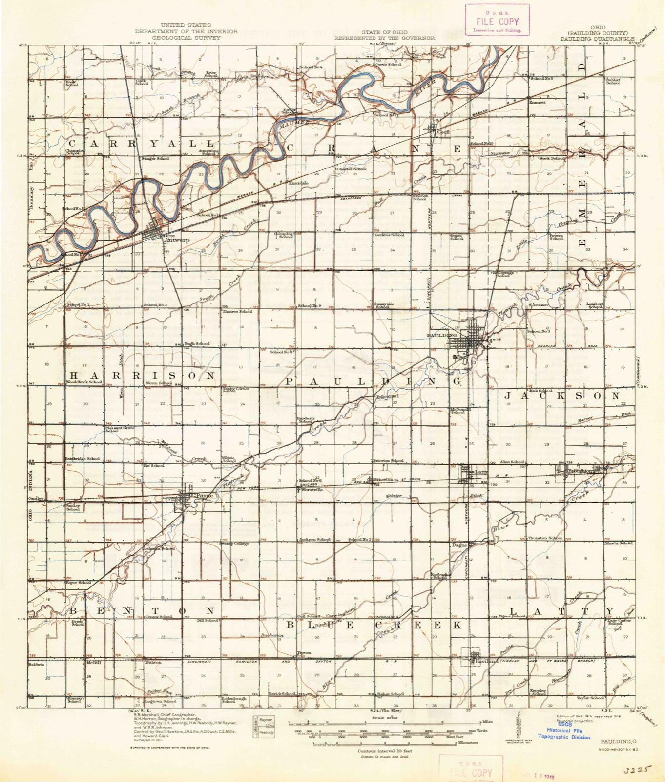
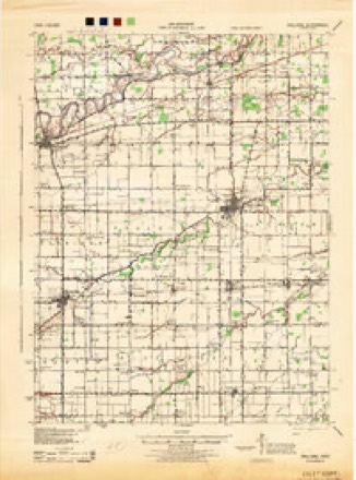
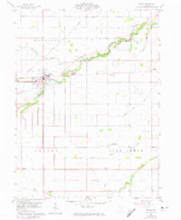
12 topographic sheets cover this place, the earliest surveyed in 1914 and the latest in 1986. It stands in Blue Creek Township. It lies in ZIP code area 45851. It stands on Middle Creek. The Survey maps it on the Payne quadrangle.
Then and now
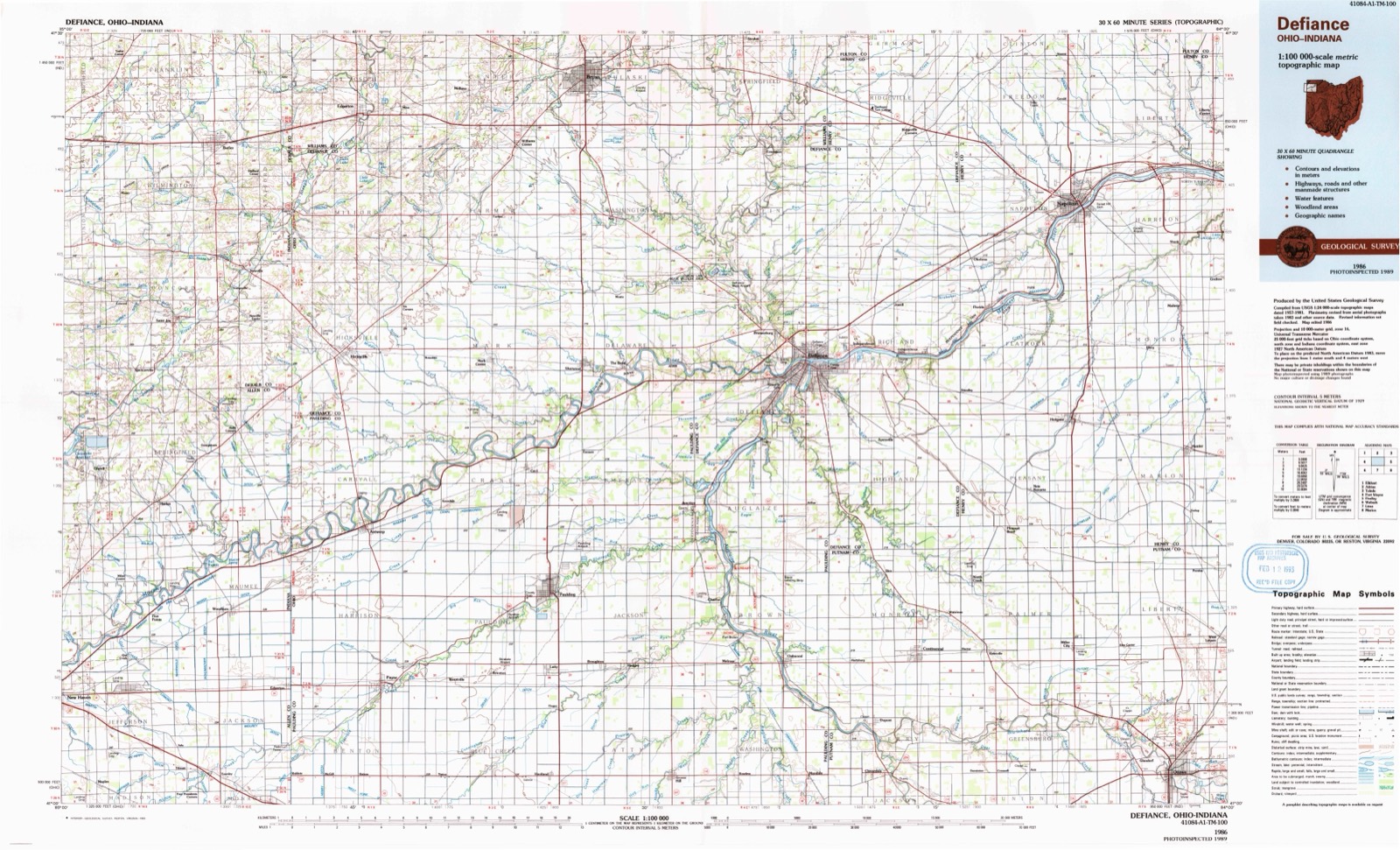
1914 to 1986The same ground, surveyed 72 years apart. Drag the handle to wipe between them. Both sheets are United States Geological Survey originals; neither has been altered.
Compare 1914 against another survey:
Topographic sheets covering this place
12 sheetsMatched by testing this settlement's coordinate against the published boundary of every sheet in the United States Geological Survey's historical collection. Each opens the scanned sheet at the Survey.
- 1914 USGS Paulding quadrangle1:62500
- 1914 USGS Paulding quadrangle1:62500
- 1944 USGS Paulding quadrangle1:62500
- 1953 USGS Fort Wayne quadrangle1:250000
- 1953 USGS Fort Wayne quadrangle1:250000
- 1953 USGS Fort Wayne quadrangle1:250000
- 1953 USGS Fort Wayne quadrangle1:250000
- 1956 USGS Fort Wayne quadrangle1:250000
- 1956 USGS Fort Wayne quadrangle1:250000
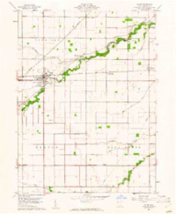
- 1960 USGS Payne quadrangle1:24000
- 1960 USGS Payne quadrangle1:24000
- 1986 USGS Defiance quadrangle1:100000
Specimens collected nearby
12 of 1,077 shownMuseums hold 1,077 specimens collected within 10 miles of Tipton between 1909 and 1973: 1,077 Animalia. 12 distinct Species records are shown. Collected by Adler, K. K., C L CLARK FROM HOMER PRICE, Collector(s): Harold H. Bailey and others. Each is a physical object with a catalogue number, and each entry opens the museum's record. This is what was collected and kept, not a survey of what lives here - nothing can be concluded from a species being absent.
| Image | Species | Year | Collected by | Where, as recorded |
|---|---|---|---|---|
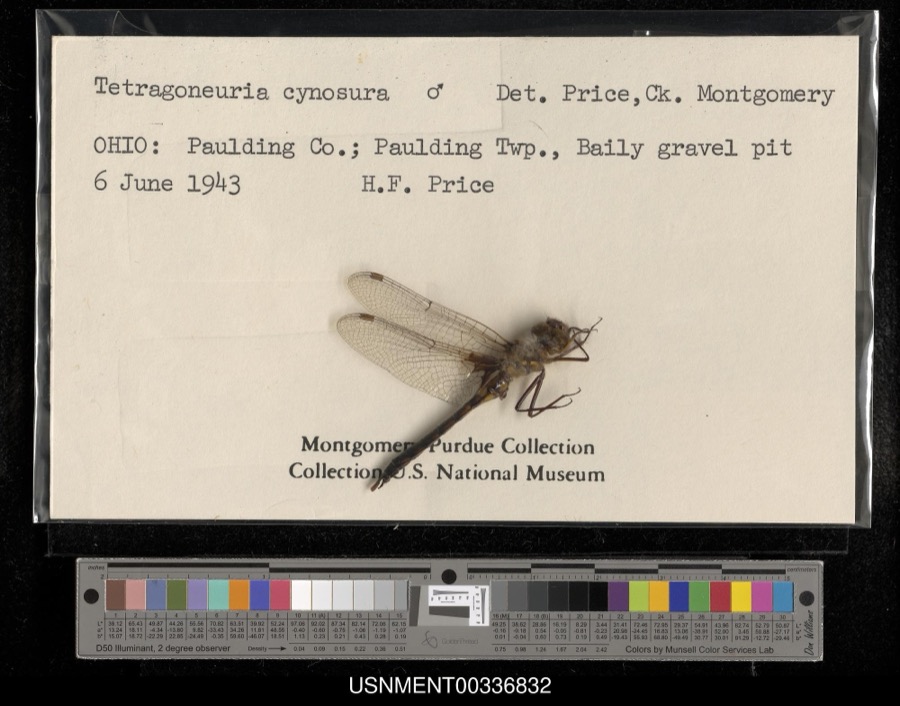 | Epitheca cynosura (Say, 1840) | 1943 | H. Price | Paulding Township, Baily gravel pit |
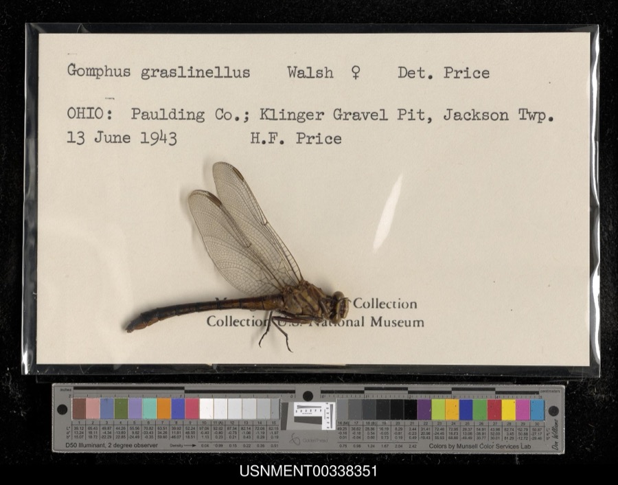 | Gomphus graslinellus Walsh, 1862 | 1943 | H. Price | Klinger Gravel Pit, Jackson Township |
 | Tyrannus tyrannus (Linnaeus, 1758) | 1909 | Collector(s): Harold H. Bailey | Payne |
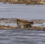 | Porzana carolina (Linnaeus, 1758) | 1910 | Price, H. (Homer) | Paulding, Ohio, USA |
 | Sturnella magna (Linnaeus, 1758) | 1912 | Price, H. (Homer) | Paulding, Ohio, USA |
 | Geothlypis trichas (Linnaeus, 1766) | 1915 | Price, H. (Homer) | Payne, Paulding Co., Ohio |
 | Passerherbulus henslowii (Audubon, 1829) | 1915 | Price, H. (Homer) | Payne, Paulding Co., Ohio |
 | Pooecetes gramineus (J.F.Gmelin, 1789) | 1915 | Price, H. (Homer) | Payne, Paulding Co., Ohio |
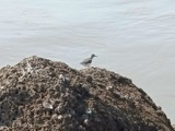 | Actitis macularius (Linnaeus, 1766) | 1916 | Price, H. (Homer) | Payne, Crooked Creek bottoms, Paulding, Ohio, USA |
 | Agelaius phoeniceus (Linnaeus, 1766) | 1916 | Price, H. (Homer) | Payne, Crooked Creek bottoms, Paulding, Ohio, USA |
 | Bombycilla cedrorum Vieillot, 1808 | 1916 | Price, H. (Homer) | Payne within corporation, Paulding, Ohio, USA |
 | Bubo virginianus (J.F.Gmelin, 1788) | 1916 | Price, H. (Homer) | Payne, Paulding Co., Ohio |
All 1,077 specimens within 10 miles, at the Global Biodiversity Information Facility.
Mines and quarries nearby
2 within 5 milesThe federal mineral resources record lists 2 workings within 5 miles of Tipton: 2 past producers. None of them still produces. What was taken out: Sand and Gravel, Construction. Distance is straight-line from the map coordinates, so a quarry counted here may appear on a neighbouring settlement's page as well.
| Where | Site | Commodity | Status | Recorded |
|---|---|---|---|---|
| Haviland Clay Mine | Sand and Gravel, Construction | Past Producer | Sedimentary | |
| Haviland Clay Mine | Sand and Gravel, Construction | Past Producer |
Storms nearby
5 since 2008The National Weather Service names Tipton in 5 storm reports between 2008 and 2017: 2 hail, 2 thunderstorm wind, 1 flash flood. No death or injury is recorded in these reports. Each account below is quoted exactly as the forecast office filed it, from the NOAA Storm Events Database, and each date opens the federal record of that event.
| When | Event | Place named | Harm | What the report says |
|---|---|---|---|---|
| May 2017 | Thunderstorm Wind | Tipton | - | A survey of damage near Haviland revealed an intense microburst impacted farmland in the area of State Route 114 between Roads 79 and 87. Several swaths of damage occurred with wind speeds in the 80 to 85 mph range. The southernmost swath impacted a 70 foot by 140 foot pole barn, destroying it and carrying debris up to 2 miles to the southeast. A lack of strong anchoring (which is typical for this region) contributed to the destruction and subsequent lowered wind speeds (SBO-8). A grain elevator system collapsed partially. No other structure damage was noted to several other buildings on the property. To the immediate east of the microburst impact and also towards the northeast numerous power poles were snapped in groups of 15 to 20, along Road 107. Recent wet ground, older wood and harmonics of the poles and wires moving. A farm near the intersection of Road 107 and SR 114 suffered no damage to any buildings. Wind speeds are estimated between 80 and 85 mph. The line noted in this entry is the estimated center point of the swath of damage. |
| June 2017 | Flash Flood | Tipton | - | Emergency management officials reported several roads with water on them across portions of the county. The hardest hit area extended from near Haviland northeast to Charloe and Oakwood. Mesonet sites recorded four to over five inches of rain falling in the area. The highest amount was 5.17 inches southwest of Charloe. At least two culverts were washed out on county roads near Melrose and Hedges. Water was reported as deep as three feet on the Baughman Tile Company, on State Route 637, north of State Route 613. Several houses near Blue Creek experienced flooding issues due to its flashy nature. No rescues were reported. |
| July 2014 | Hail | Tipton | - | A trained spotter reported hail up to three inches in diameter. |
| July 2011 | Thunderstorm Wind | Tipton | - | Emergency management officials reported power lines down on County Road 71. |
| June 2008 | Hail | Tipton | - | no account filed |
Nearest settlements
The eight closest, with where each one stands in the county. Distances are straight-line, computed from the Geographic Names Information System coordinates.
| Map | Place | Distance | Sheets |
|---|---|---|---|
| Sophia (historical) | 2.0 miles | 12 | |
| Batson | 4.0 miles | 12 | |
| Logtown | 4.2 miles | 12 | |
| Worstville | 4.3 miles | 12 | |
| Follmer (historical) | 4.4 miles | 12 | |
| Haviland | 4.7 miles | 12 | |
| Briceton | 4.9 miles | 12 | |
| Payne | 5.0 miles | 12 |
Provenance
This settlement is recorded in the Geographic Names Information System as feature 1047070. The sheet list is computed by point-in-boundary test against the United States Geological Survey's historical topographic inventory. Both are works of the United States government and carry no copyright under 17 U.S.C. 105.
Specimens. Global Biodiversity Information Facility (GBIF), https://www.gbif.org/. Only records licensed CC0 or CC BY are used. Records licensed CC BY-NC are excluded because this site carries advertising. Images are checked individually and any whose licence is non-commercial, no-derivatives or unreadable is refused.
Mines and quarries. USGS Mineral Resources Data System (MRDS) https://mrdata.usgs.gov/mrds/ A work of the United States government, no copyright under 17 U.S.C. 105.
Storms. NOAA National Centers for Environmental Information, Storm Events Database https://www.ncei.noaa.gov/stormevents/ A work of the United States government, no copyright under 17 U.S.C. 105. Narratives are quoted verbatim from the National Weather Service report and are not edited or summarised.