 Block
Block
Vandalia, Ohio
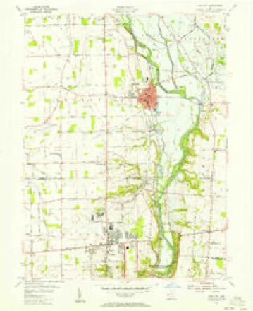
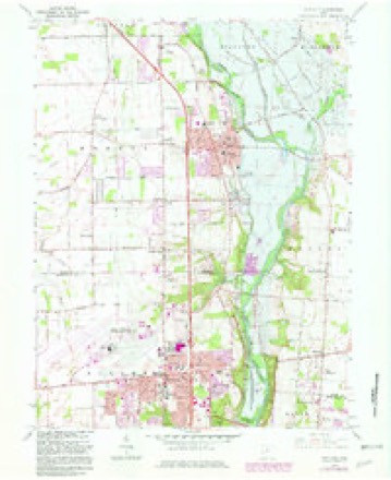
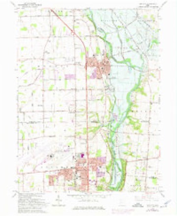
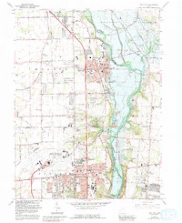
14 topographic sheets cover this place, the earliest surveyed in 1904 and the latest in 1986. It stands in Vandalia City. It lies in ZIP code area 45377. The Survey maps it on the Tipp City quadrangle. 15,209 people lived here at the 2020 count. It stands 994 feet above sea level.
Population over time
2 figuresVandalia fell from 15,246 to 15,209 between 2010 and 2020. These are the recorded population figures Wikidata holds for this place, reached through the Geographic Names Information System number this page is keyed on rather than by name, so they belong to this place and not to another of the same name. Most are census counts, but not all are: an early figure may be a founding or settlement estimate. The change column is computed, and is left blank where more than 20 years separate a figure from the one before it, because a gap that long is not a change between two counts.
| Year | People | Change |
|---|---|---|
| 2010 | 15,246 | |
| 2020 | 15,209 | -37 (-0%) |
Then and now
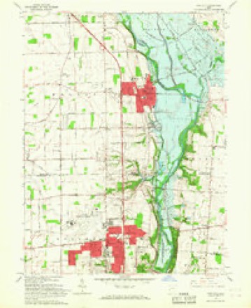
1904 to 1986The same ground, surveyed 82 years apart. Drag the handle to wipe between them. Both sheets are United States Geological Survey originals; neither has been altered.

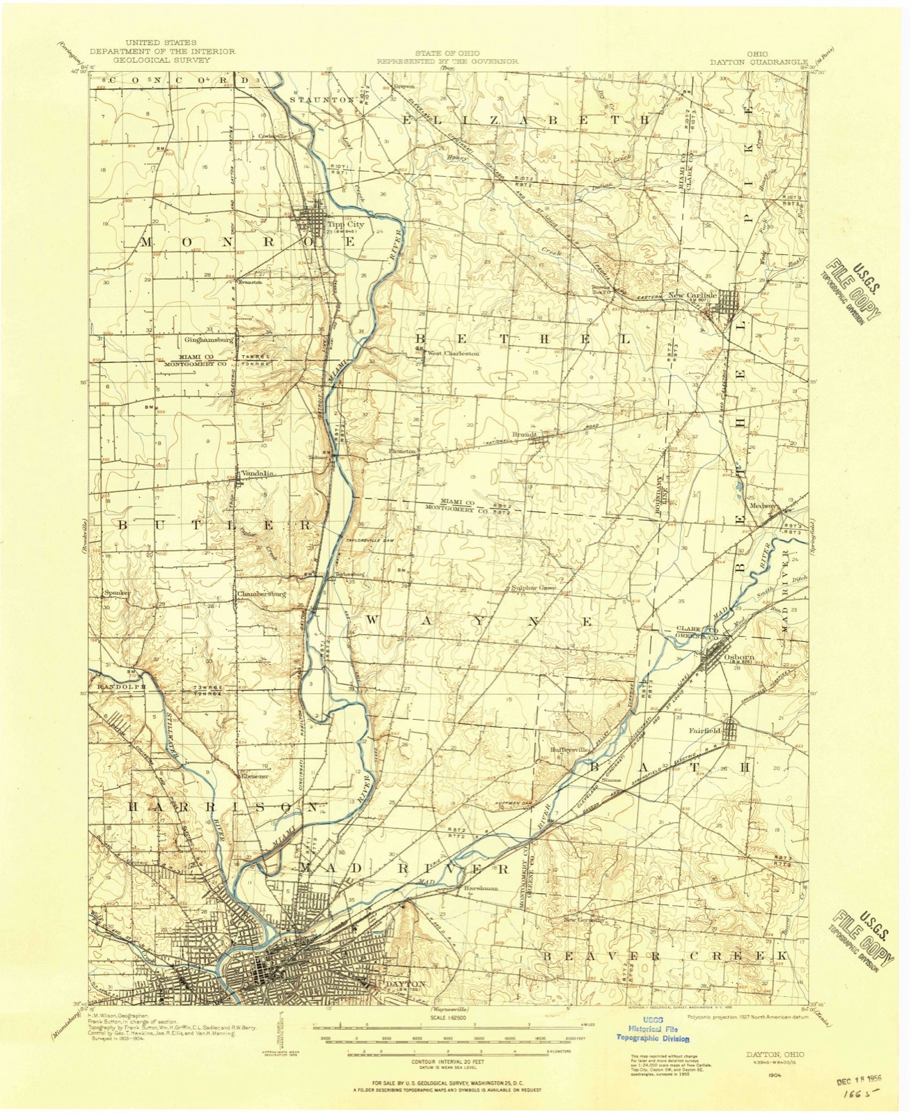
Topographic sheets covering this place
14 sheetsMatched by testing this settlement's coordinate against the published boundary of every sheet in the United States Geological Survey's historical collection. Each opens the scanned sheet at the Survey.
- 1904 USGS Dayton quadrangle1:62500
- 1906 USGS Dayton quadrangle1:62500
- 1906 USGS Dayton quadrangle1:62500
- 1953 USGS Cincinnati quadrangle1:250000
- 1953 USGS Cincinnati quadrangle1:250000
- 1953 USGS Cincinnati quadrangle1:250000
- 1955 USGS Tipp City quadrangle1:24000
- 1957 USGS Cincinnati quadrangle1:250000
- 1965 USGS Tipp City quadrangle1:24000
- 1965 USGS Tipp City quadrangle1:24000
- 1965 USGS Tipp City quadrangle1:24000
- 1965 USGS Tipp City quadrangle1:24000
- 1986 USGS Dayton quadrangle1:100000
- 1986 USGS Dayton quadrangle1:100000






Specimens collected nearby
12 of 867 shownMuseums hold 867 specimens collected within 10 miles of Vandalia between 1835 and 1975: 741 Animalia, 68 Plantae, 54 Fungi, 3 Unrecorded, 1 Chromista. 12 distinct Species records are shown. Collected by A. E. Foeerste, A. E. Foerste, A. F. Foerste and others. Each is a physical object with a catalogue number, and each entry opens the museum's record. This is what was collected and kept, not a survey of what lives here - nothing can be concluded from a species being absent.
| Image | Species | Year | Collected by | Where, as recorded |
|---|---|---|---|---|
 | Ambrosia artemisiifolia L. | 1881 | Foerste AF | |
 | Geaster limbatus Fr. | 1883 | A. E. Foeerste | Dayton |
 | Uredo | 1897 | Prof. W.A. Kellerman | |
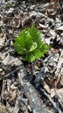 | Botrypus virginianus (L.) Michx. | 1835 | Joseph C. Frank | Ohio, Miami [County] |
 | Platanthera leucophaea (Nutt.) Lindl. | 1836 | C. W. Short | Dayton |
 | Erythronium americanum Ker Gawl. | 1837 | van Cleve, John W. | 3 mi. north of Dayton |
 | Hydrophyllum macrophyllum Nutt. | 1838 | J. W. Van Cleve | Dayton |
 | Allium canadense L. | 1839 | not recorded | Dayton. 1 mi. northeast. |
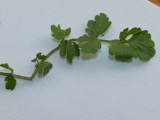 | Cardamine L. | 1839 | Sanders, Alfred; J.J. Nagel, J.G. Haupt. | Dayton. 1 mile east. |
 | Cassia marilandica L. | 1839 | Sanders, Alfred | Dayton |
 | Cynoglossum officinale L. | 1839 | not recorded | Dayton. Suburbs E. |
 | Nuphar advena (Aiton) Aiton | 1839 | Sanders, Mrs.; J.G. Haupt | Dayton |
All 867 specimens within 10 miles, at the Global Biodiversity Information Facility.
Mines and quarries nearby
10 of 16 shownThe federal mineral resources record lists 16 workings within 5 miles of Vandalia: 9 past producers, 5 producers, 2 plants. 7 still produce. What was taken out: Sand and Gravel, Construction, Stone, Crushed/Broken. Distance is straight-line from the map coordinates, so a quarry counted here may appear on a neighbouring settlement's page as well.
| Where | Site | Commodity | Status | Recorded |
|---|---|---|---|---|
| Southwestern Pit | Stone, Crushed/Broken | Producer | ||
| Wayne Quarry | Stone, Crushed/Broken | Producer | ||
| Campbell Pit | Sand and Gravel, Construction | Past Producer | Sedimentary | |
| Campbell Pit | Sand and Gravel, Construction | Past Producer | ||
| Cassel Pit | Sand and Gravel, Construction | Producer | ||
| Cassel Sand & Gravel, Inc. | Sand and Gravel, Construction | Past Producer | ||
| Haas Sand and Gravel Pit | Sand and Gravel, Construction | Past Producer | Sedimentary | |
| Haas Sand and Gravel Pit | Sand and Gravel, Construction | Past Producer | ||
| Miller Brothers Gravel, Inc. Pit | Sand and Gravel, Construction | Past Producer | Sedimentary | |
| Northmont Sand and Gravel Pit | Sand and Gravel, Construction | Past Producer | Sedimentary |
Storms nearby
34 since 1996The National Weather Service names Vandalia in 34 storm reports between 1996 and 2023: 18 thunderstorm wind, 15 hail, 1 tornado. The reports record 8 injuries. Each account below is quoted exactly as the forecast office filed it, from the NOAA Storm Events Database, and each date opens the federal record of that event.
| When | Event | Place named | Harm | What the report says |
|---|---|---|---|---|
| October 2013 | Tornado (EF1) | Vandalia | 8 hurt, $2,000,000 | The tornado touched down just northeast of Interstate 75 at Highway 40, exit number 63 in Vandalia. Initial damage consisted of the collapse of a cinderblock drive through store, and significant destruction of the roof and some of the cinderblocks on an uninhabited commercial building. This structure also had large plate glass windows blown in. Additional significant roof damage occurred to a neighboring business, as well as the snapping of some power poles. The tornado continued on to a restaurant, in which the windows were blown in and significant faade and roof damage occurred. Eight people inside the restaurant sustained minor injuries from glass. In the restaurant parking lot, there were numerous vehicles which had windows blown out, with some vehicles shifted or pushed from their parked location. There was a large pickup truck which was lifted and tossed, landing on top of another vehicle. The tornado continued into a residential subdivision, where at least 3 homes sustained damage which rendered them uninhabitable. There were additional homes with partial wall collapses and more than half the roof removed. Other homes had holes in the roof due to being impaled by debris. There was also significant damage due to large trees being snapped off and damaging the homes. Large portions of roofing and sheds were carried at least a city block. The tornado then lifted while in the residential subdivision. Based on the damage surveyed, the maximum wind speed of this tornado was estimated to be between 100 and 110 miles per hour. |
| December 2006 | Thunderstorm Wind | Vandalia | $40,000 | Several homes in a one square block area near the intersection of Spartan and West Hafer Streets sustained roof and carport damage. Trees were also knocked down throughout this area. |
| October 2013 | Thunderstorm Wind | Vandalia | $10,000 | Straight line wind damage surrounded the areas affected by an EF1 tornado. This damage began west of Interstate 75 near National Road and continued for about a mile to the east northeast. In this area, trees were toppled or sustained large branch damage. |
| November 2013 | Thunderstorm Wind | Vandalia | $5,000 | A 100 foot tower was destroyed due to thunderstorm winds. |
| July 2013 | Thunderstorm Wind | Vandalia | $3,000 | Numerous tree limbs were reported down in the area due to thunderstorm winds. |
| May 2004 | Thunderstorm Wind | Vandalia | $3,000 | Trees were knocked down. |
| October 2010 | Thunderstorm Wind | Vandalia | $2,000 | Trees were reported down due to damaging thunderstorm winds. |
| June 2008 | Thunderstorm Wind | Vandalia | $2,000 | Large tree limbs were downed. |
| June 2002 | Hail | Vandalia | $2,000 | no account filed |
| June 2023 | Thunderstorm Wind | Vandalia | $1,000 | A large maple tree was downed. |
| June 2013 | Thunderstorm Wind | Vandalia | $1,000 | A few large tree branches were down in the area due to thunderstorm winds. |
| July 2012 | Thunderstorm Wind | Vandalia | $1,000 | Branches and limbs were downed due to damaging thunderstorm winds. |
| June 1999 | Thunderstorm Wind | Vandalia | $1,000 | Large branches were blown off of trees. |
| July 2019 | Thunderstorm Wind | Vandalia | $250 | Several large branches were downed. |
| July 2019 | Thunderstorm Wind | Vandalia | $100 | A few 3 inch tree limbs were blown down. |
| September 2011 | Thunderstorm Wind | Vandalia | - | The spotter estimated the gust. |
| June 2011 | Thunderstorm Wind | Vandalia | - | The spotter estimated the wind gust. |
| July 2011 | Thunderstorm Wind | Vandalia | - | The spotter estimated the wind gust. |
| June 2000 | Hail | Vandalia | - | Hail the size of nickels and quarters was reported. |
| March 2022 | Hail | Vandalia | - | no account filed |
| April 2020 | Hail | Vandalia | - | no account filed |
| April 2017 | Thunderstorm Wind | Vandalia | - | no account filed |
| May 2014 | Thunderstorm Wind | Vandalia | - | no account filed |
| July 2012 | Hail | Vandalia | - | no account filed |
| June 2011 | Hail | Vandalia | - | no account filed |
| May 2011 | Hail | Vandalia | - | no account filed |
| May 2011 | Hail | Vandalia | - | no account filed |
| June 2011 | Hail | Vandalia | - | no account filed |
| July 2011 | Hail | Vandalia | - | no account filed |
| May 2004 | Hail | Vandalia | - | no account filed |
| April 2003 | Hail | Vandalia | - | no account filed |
| May 2000 | Hail | Vandalia | - | no account filed |
| May 2000 | Hail | Vandalia | - | no account filed |
| June 1996 | Hail | Vandalia | - | no account filed |
Nearest settlements
The eight closest, with where each one stands in the county. Distances are straight-line, computed from the Geographic Names Information System coordinates.
| Map | Place | Distance | Sheets |
|---|---|---|---|
| Tadmor (historical) | 1.8 miles | 14 | |
| Murlin Heights | 2.3 miles | 16 | |
| Taylorsville | 2.5 miles | 16 | |
| Spanker | 3.3 miles | 16 | |
| Miami Villa | 3.4 miles | 16 | |
| Little York | 3.8 miles | 13 | |
| Irvington | 4.7 miles | 13 | |
| Morgan Place | 4.9 miles | 13 |
Elsewhere
Matched on this settlement's Geographic Names Information System number rather than its name, so it cannot be a different place of the same name in another state.
| Wikipedia article on Vandalia | An encyclopaedic summary. Its text is share-alike, so it is linked here rather than copied. |
| Wikidata item Q476669 | The structured record the population and elevation above come from. Public domain (CC0). |
Provenance
This settlement is recorded in the Geographic Names Information System as feature 1049271. The sheet list is computed by point-in-boundary test against the United States Geological Survey's historical topographic inventory. Both are works of the United States government and carry no copyright under 17 U.S.C. 105.
Specimens. Global Biodiversity Information Facility (GBIF), https://www.gbif.org/. Only records licensed CC0 or CC BY are used. Records licensed CC BY-NC are excluded because this site carries advertising. Images are checked individually and any whose licence is non-commercial, no-derivatives or unreadable is refused.
Mines and quarries. USGS Mineral Resources Data System (MRDS) https://mrdata.usgs.gov/mrds/ A work of the United States government, no copyright under 17 U.S.C. 105.
Storms. NOAA National Centers for Environmental Information, Storm Events Database https://www.ncei.noaa.gov/stormevents/ A work of the United States government, no copyright under 17 U.S.C. 105. Narratives are quoted verbatim from the National Weather Service report and are not edited or summarised.