 Block
Block
Vineyard Haven, Massachusetts
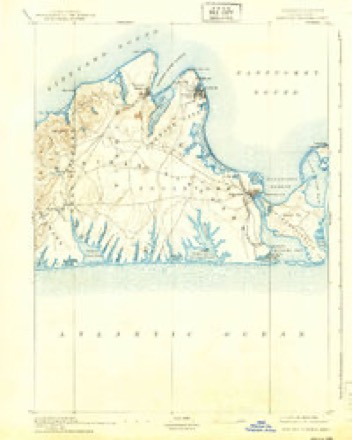
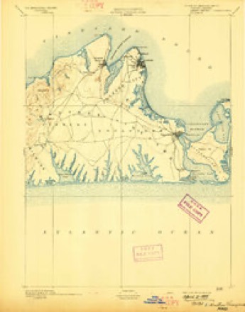
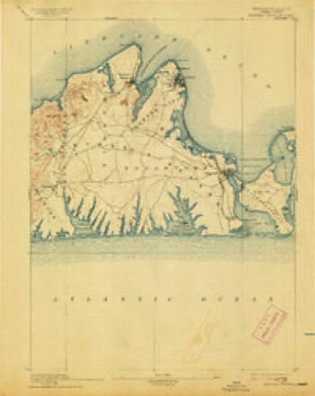
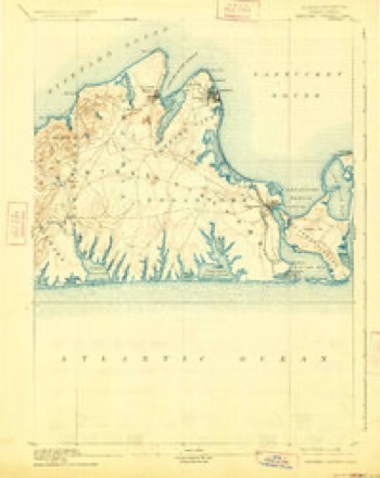
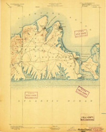
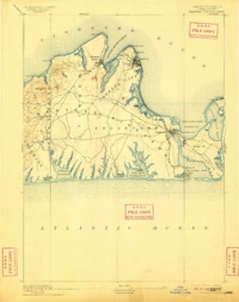
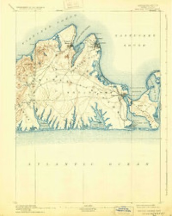
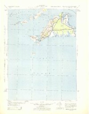
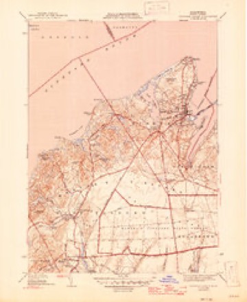
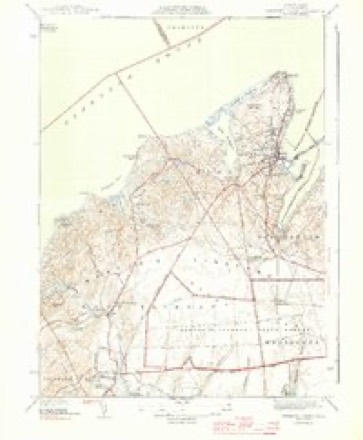
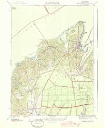
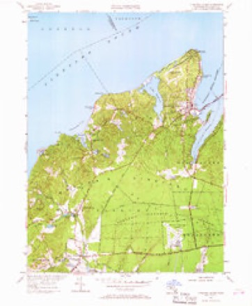
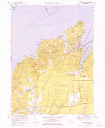
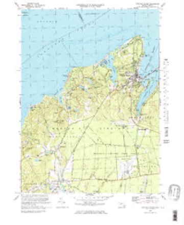
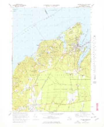
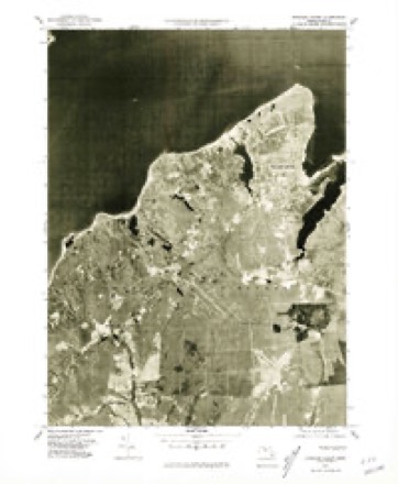
33 topographic sheets cover this place, the earliest surveyed in 1887 and the latest in 1994. It stands in Tisbury town. It lies in ZIP code area 02568. It stands on Ferry Boat Island. The Survey maps it on the Edgartown quadrangle.
Then and now
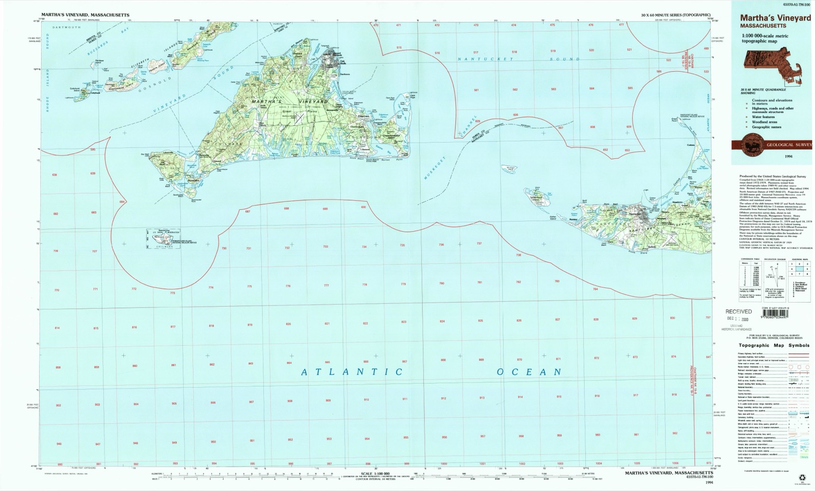
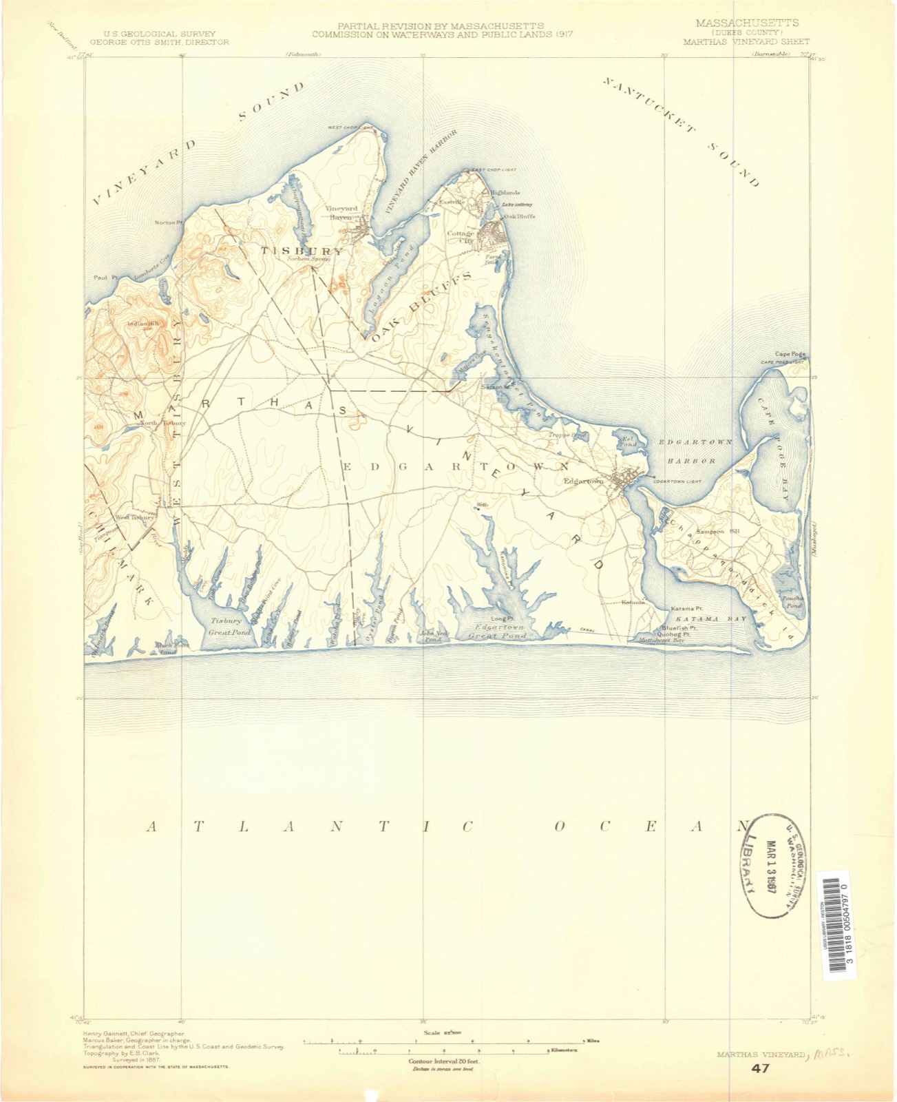
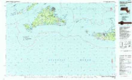
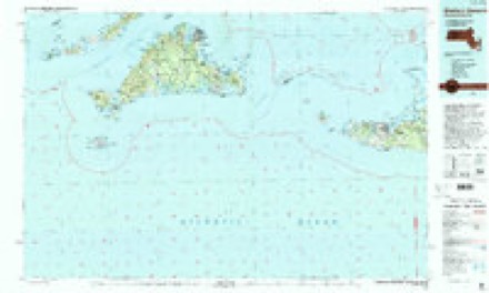
1887 to 1994The same ground, surveyed 107 years apart. Drag the handle to wipe between them. Both sheets are United States Geological Survey originals; neither has been altered.
Topographic sheets covering this place
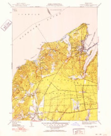
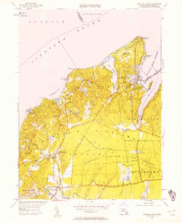
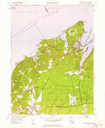
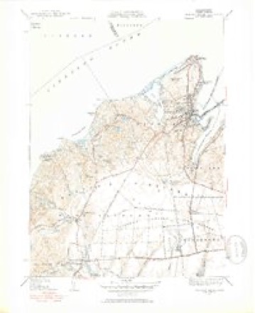
33 sheetsMatched by testing this settlement's coordinate against the published boundary of every sheet in the United States Geological Survey's historical collection. Each opens the scanned sheet at the Survey.
- 1887 USGS Marthas Vineyard quadrangle1:62500
- 1889 USGS Marthas Vineyard quadrangle1:62500
- 1894 USGS Marthas Vineyard quadrangle1:62500
- 1894 USGS Marthas Vineyard quadrangle1:62500
- 1894 USGS Marthas Vineyard quadrangle1:62500
- 1894 USGS Marthas Vineyard quadrangle1:62500
- 1894 USGS Marthas Vineyard quadrangle1:62500
- 1894 USGS Marthas Vineyard quadrangle1:62500
- 1894 USGS Marthas Vineyard quadrangle1:62500
- 1942 USGS Marthas Vineyard quadrangle1:125000
- 1944 USGS Vineyard Haven quadrangle1:31680
- 1944 USGS Vineyard Haven quadrangle1:31680
- 1944 USGS Vineyard Haven quadrangle1:31680
- 1947 USGS Providence quadrangle1:250000
- 1947 USGS Providence quadrangle1:250000
- 1947 USGS Providence quadrangle1:250000
- 1947 USGS Providence quadrangle1:250000
- 1947 USGS Providence quadrangle1:250000
- 1948 USGS Providence quadrangle1:250000
- 1951 USGS Vineyard Haven quadrangle1:24000
- 1951 USGS Vineyard Haven quadrangle1:31680
- 1951 USGS Vineyard Haven quadrangle1:24000
- 1951 USGS Vineyard Haven quadrangle1:24000
- 1951 USGS Vineyard Haven quadrangle1:31680
- 1957 USGS Providence quadrangle1:250000
- 1958 USGS Providence quadrangle1:250000
- 1963 USGS Providence quadrangle1:250000
- 1972 USGS Vineyard Haven quadrangle1:25000
- 1972 USGS Vineyard Haven quadrangle1:25000
- 1972 USGS Vineyard Haven quadrangle1:25000
- 1977 USGS Vineyard Haven quadrangle1:25000
- 1986 USGS Martha's Vineyard quadrangle1:100000
- 1994 USGS Martha's Vineyard quadrangle1:100000









In the county-history sources
71,194 words on this townshipThe History of Martha's Vineyard, Dukes County, Massachusetts, published 1911 names this settlement in its chapter on Tisbury Town. These are the passages that mention it, exactly as the scans read.
This was the ancient name bestowed by the natives on all the territory covered by the village of Vineyard Haven, in the present town of Tisbury. The Sachem Ponit, in 1682, calls himself "of Nobnocket alias holmes his hole," and his jurisdiction extended north of a line drawn from the stepping stones to the head of Tashmoo, to include the entire neck. Eliot uses an adjectival prefix in various forms to indicate *'dry," one of which forms is Nunnob, which he abbreviates to Nob (Isaiah, XI, 15; XLIV, 3). In the Narragansett dialect the nasal sound of N is heard before the vowel, which accounts for the intrusion of the N in Nobnocket, giving us an etymology of Nob(n)ocket, meaning at the dry land or place. This may indicate that the original Nobnocket was a place where the Indians settled on the shore, an enclosed place, a designation which afterwards was extended to include the whole region above described as Ponit's Sachemship.^
Passage source: The History of Martha's Vineyard, Dukes County, Massachusetts, published 1911.
The name of Holmes Hole became officially eclipsed in 1 87 1, as a result of persistent agitation on the part of a number of residents. The original name had in it but a faint suggestion of dignity or character, and to hail from a "Hole" was a source of chagrin to many of its inhabitants when traveling abroad. A number of substitutes were suggested, including Tisbury Harbor and Vineyard Haven, and the latter finding the most favor with the majority, it received its confirmation on Feb. 21, 1871, by the general government, when the Post Office Department officially adopted the name for the office. This new title is a more euphonious and appropriate name than -its predecessor, as the harbor has been the great haven of the Vineyard from time immemorial, and doubtless this last christening will survive for many generations.
Passage source: The History of Martha's Vineyard, Dukes County, Massachusetts, published 1911.
Usselton is therefore to be reckoned as the first white man to establish a residence in the present limits of Vineyard Haven. Where his house was cannot be determined, but he has left his name upon the fine headland down the neck, known as Husselton's Head, a corruption of the settler's surname. In the division of the Chase property in 1726, the sixth lot was bounded by a "stake standing on the south side of a hollow called Usingtols hollow," which is the ravine just south of the Head, represented by the lane leading to Edward C. Lord's store. It may be surmised that here was the temporary abiding place of Francis Usselton, which gave it the name. This man first appears in New England at Wenham, Mass., where he married Sarah Barnes, Nov. 25, 1655, our first record of him, and there two children of this marriage are entered, viz: Mary, born Aug. 17, 1656, and John, born Sept. 20, 1657.^ The Essex County Court files furnish considerable evidence that Francis was a litigious man, as he is either plaintiff or defendant in civil and criminal suits in 1659 and 1660, a number of times; in the latter year he is called of Topsfield, the town adjoining Wenham. When he came to the Vineyard can not be accurately determined, but the first recorded date is Dec. 2, 1659, which overlaps that of record in Topsfield.
Passage source: The History of Martha's Vineyard, Dukes County, Massachusetts, published 1911.
Machine-read from a century-old scan, so expect the errors a machine makes: misspelled names, dropped words, stray characters.
Read the whole chapter on Tisbury Town - it names this place 22 more 22 times.
Photographs
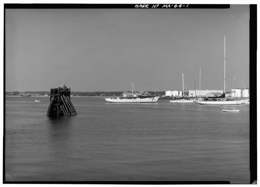
1 photograph,Taken for the Office of War Information and the Farm Security Administration, who photographed the country between 1935 and 1944. Works of United States government photographers, with no known restriction on use. Each opens its catalogue record.
Unattributed, . Library of Congress
Fires near this place
30 since 2015Regional context, not property-specific evidence. The federal wildfire occurrence database lists 30 fires within 5 miles of Vineyard Haven between 2015 and 2020, burning about 16 acres in total. None started naturally. None was recorded as arson. Distance is straight-line from the map coordinates, so a fire counted here may appear on a neighbouring settlement's page as well.
| Reported cause | Fires |
|---|---|
| Debris and open burning | 12 |
| Missing data/not specified/undetermined | 10 |
| Equipment and vehicle use | 4 |
| Recreation and ceremony | 2 |
| Fireworks | 1 |
| Smoking | 1 |
The most recent of them, most recent first, with the day each was reported and the service that recorded it.
| Date | Cause | Size | Reported by | Name on the report |
|---|---|---|---|---|
| 6 September 2018 | Debris and open burning | under an acre | Massachusetts Bureau of Forest Fire Control | not named |
| 5 September 2018 | Debris and open burning | under an acre | Massachusetts Bureau of Forest Fire Control | not named |
| 21 September 2020 | Recreation and ceremony | 1.3 acres | Massachusetts Bureau of Forest Fire Control | not named |
| 20 September 2020 | Missing data/not specified/undetermined | under an acre | Massachusetts Bureau of Forest Fire Control | not named |
| 9 August 2020 | Missing data/not specified/undetermined | under an acre | Massachusetts Bureau of Forest Fire Control | not named |
| 29 July 2020 | Smoking | under an acre | Massachusetts Bureau of Forest Fire Control | not named |
| 27 July 2020 | Missing data/not specified/undetermined | under an acre | Massachusetts Bureau of Forest Fire Control | not named |
| 14 June 2018 | Debris and open burning | under an acre | Massachusetts Bureau of Forest Fire Control | not named |
Settlements close enough to share some of these fires:
Specimens collected near this place
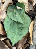
12 of 15,013 shownRegional context, not property-specific evidence. Museums hold 15,013 specimens collected within 10 miles of Vineyard Haven between 1828 and 1975: 8,652 Animalia, 4,169 Plantae, 1,096 Chromista, 756 Fungi, 158 Bacteria, 134 Unrecorded, 48 Protozoa. 12 distinct Species records are shown. Collected by A AND P STARRETT, A B Seymour, A. A. Cohen and others. Each is a physical object with a catalogue number, and each entry opens the museum's record. This is what was collected and kept, not a survey of what lives here - nothing can be concluded from a species being absent.
| Image | Species | Year | Collected by | Where, as recorded |
|---|---|---|---|---|
 | Tipularia discolor (Pursh) Nutt. | 1828 | Oakes | Martha's Vineyard |
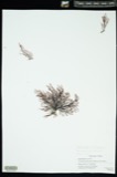 | Polysiphonia flexicaulis (Harvey) F.S.Collins | 1839 | unknown | Woods Hole |
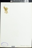 | Ectocarpus littoralis (L.) Lyngb. | 1841 | B. F. D. Runk | Woods Hole, Nobska Point, wash |
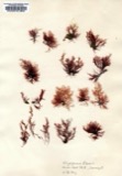 | Polysiphonia fibrata (Dillwyn) Harvey | 1844 | Collector unknown | |
 | Alosa aestivalis (Mitchill, 1814) | 1852 | not recorded | Wood's Hole, Massachusetts. |
 | Clupea harengus Linnaeus, 1758 | 1852 | not recorded | Wood's Hole, Massachusetts. |
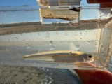 | Menidia menidia (Linnaeus, 1766) | 1852 | not recorded | Wood's Hole, Massachusetts. |
 | Prionotus evolans (Linnaeus, 1766) | 1852 | not recorded | Wood's Hole, Massachusetts. |
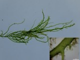 | Ulva clathrata (Roth) C.Agardh | 1852 | G. W. Perry | |
 | Acanthurus bahianus Castelnau, 1855 | 1899 | not recorded | Woods Hole, Massachusetts |
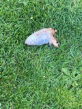 | Alosa pseudoharengus (Wilson, 1811) | 1899 | not recorded | Massachusetts, Katama Bay near Edgartown |
 | Balistes capriscus Gmelin, 1789 | 1899 | V. Edwards | Woods Hole, Massachusetts |
All 15,013 specimens within 10 miles, at the Global Biodiversity Information Facility.
Mines and quarries near this place
2 within 5 milesRegional context, not property-specific evidence. The federal mineral resources record lists 2 workings within 5 miles of Vineyard Haven: 1 past producer, 1 producer. 1 still produces. What was taken out: Sand and Gravel, Construction. Distance is straight-line from the map coordinates, so a quarry counted here may appear on a neighbouring settlement's page as well.
| Where | Site | Commodity | Status | Recorded |
|---|---|---|---|---|
| Dump Road Pit | Sand and Gravel, Construction | Past Producer | ||
| Red Hill Pit and Plant | Sand and Gravel, Construction | Producer |
Nearest settlements
The eight closest, with where each one stands in the county. Distances are straight-line, computed from the Geographic Names Information System coordinates.
| Map | Place | Distance | Sheets |
|---|---|---|---|
| Oklahoma Heights | 1.1 miles | 33 | |
| Lagoon Heights | 1.3 miles | 32 | |
| Eastville | 1.4 miles | 21 | |
| West Chop | 1.8 miles | 33 | |
| East Chop | 2.1 miles | 21 | |
| Vineyard Highlands | 2.1 miles | 21 | |
| Oak Bluffs | 2.2 miles | 32 | |
| Harthaven | 2.6 miles | 32 |
Provenance
This settlement is recorded in the Geographic Names Information System as feature 616143. The sheet list is computed by point-in-boundary test against the United States Geological Survey's historical topographic inventory. Both are works of the United States government and carry no copyright under 17 U.S.C. 105.
Wildfire. Short, Karen C. 2022. Spatial wildfire occurrence data for the United States, 1992-2020 [FPA_FOD_20221014]. 6th Edition. Fort Collins, CO: Forest Service Research Data Archive. https://doi.org/10.2737/RDS-2013-0009.6 Collected with United States Government funding and usable without additional permissions or fees.
Specimens. Global Biodiversity Information Facility (GBIF), https://www.gbif.org/. Only records licensed CC0 or CC BY are used. Records licensed CC BY-NC are excluded because this site carries advertising. Images are checked individually and any whose licence is non-commercial, no-derivatives or unreadable is refused.
Mines and quarries. USGS Mineral Resources Data System (MRDS) https://mrdata.usgs.gov/mrds/ A work of the United States government, no copyright under 17 U.S.C. 105.