 Block
Block
Waltham, Massachusetts
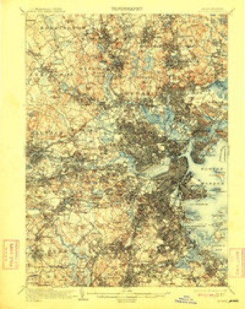
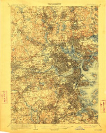
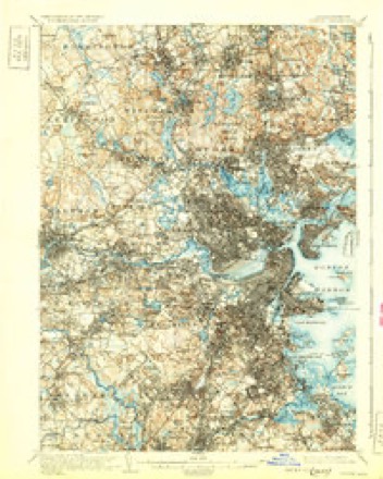
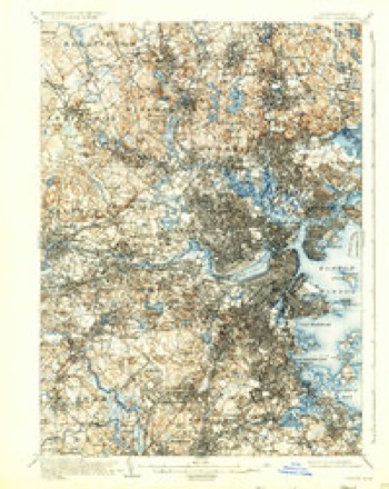
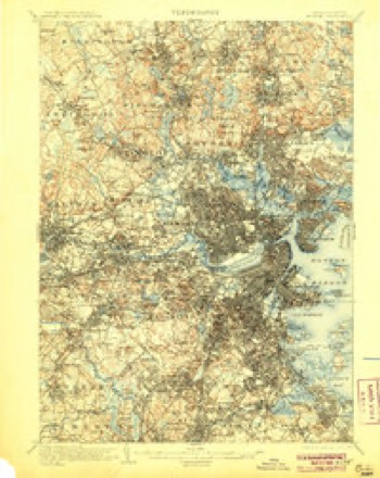
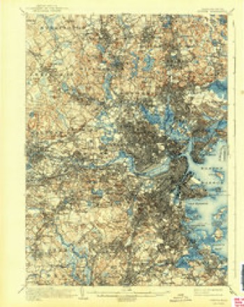
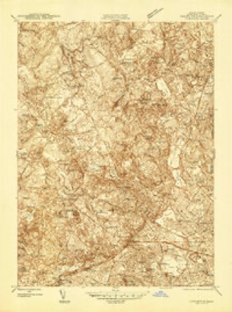
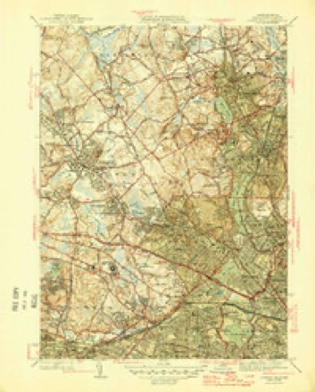
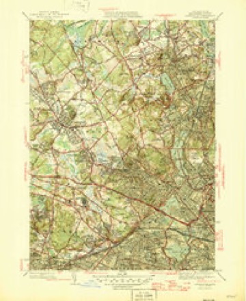
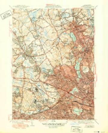
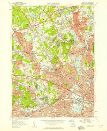
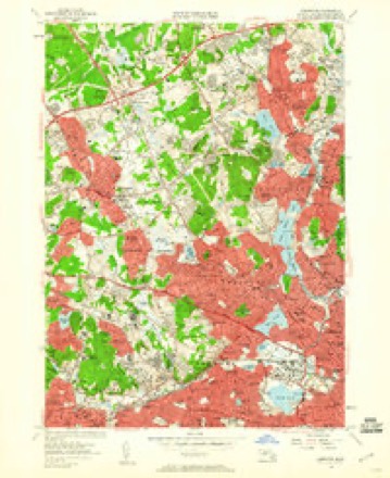
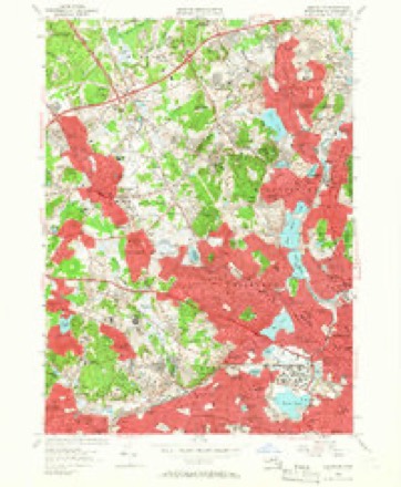
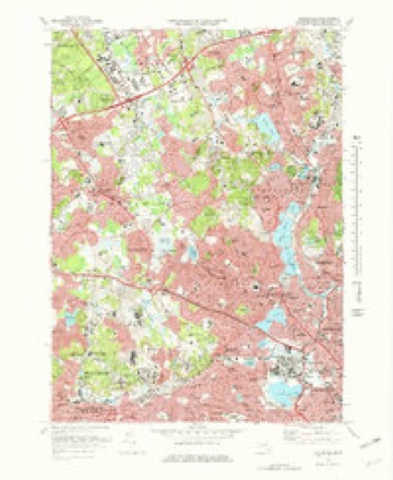
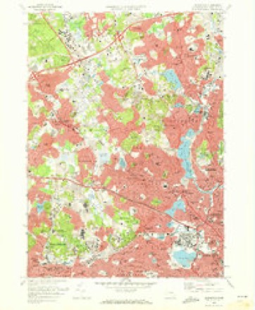
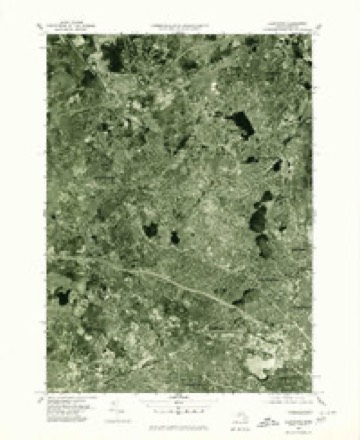
46 topographic sheets cover this place, the earliest surveyed in 1893 and the latest in 1989. It stands in Waltham City. It stands on Beaver Brook. The Survey maps it on the Lexington quadrangle. 65,218 people lived here at the 2020 count. It stands 49 feet above sea level.
Population over time
2 figuresWaltham grew from 60,632 to 65,218 between 2010 and 2020. These are the recorded population figures Wikidata holds for this place, reached through the Geographic Names Information System number this page is keyed on rather than by name, so they belong to this place and not to another of the same name. Most are census counts, but not all are: an early figure may be a founding or settlement estimate. The change column is computed, and is left blank where more than 20 years separate a figure from the one before it, because a gap that long is not a change between two counts.
| Year | People | Change |
|---|---|---|
| 2010 | 60,632 | |
| 2020 | 65,218 | +4,586 (+8%) |
Then and now
1893 to 1989The same ground, surveyed 96 years apart. Drag the handle to wipe between them. Both sheets are United States Geological Survey originals; neither has been altered.

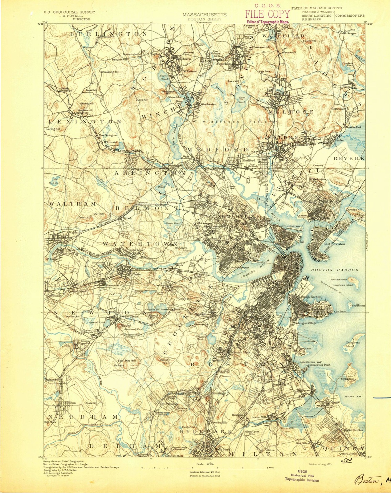
Topographic sheets covering this place
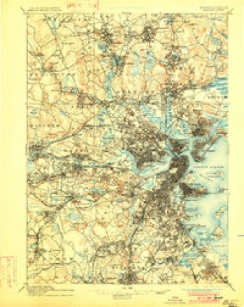
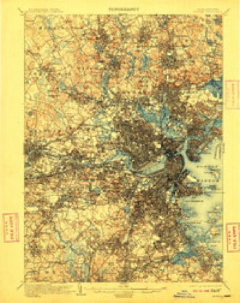
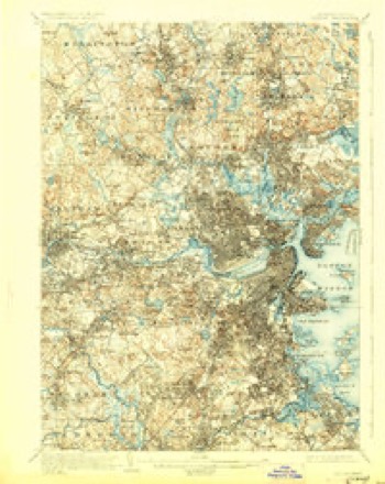
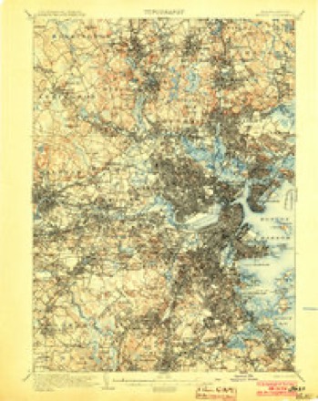
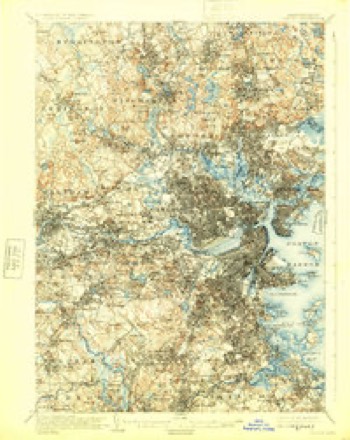
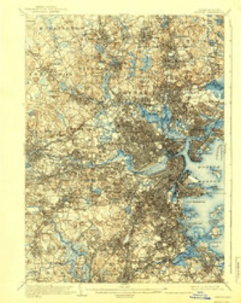
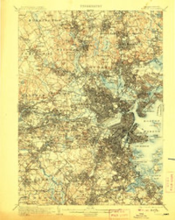
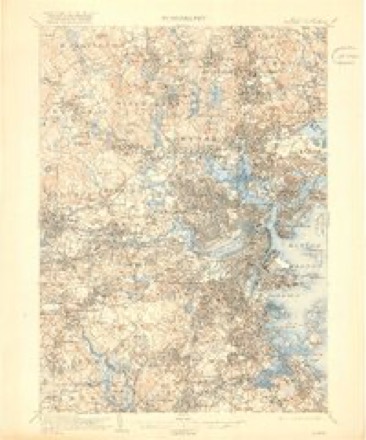
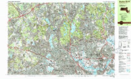
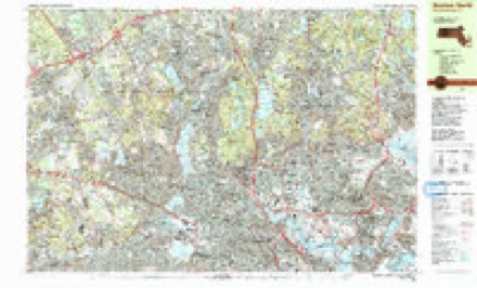
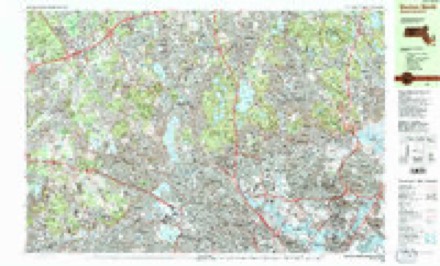
46 sheetsMatched by testing this settlement's coordinate against the published boundary of every sheet in the United States Geological Survey's historical collection. Each opens the scanned sheet at the Survey.
- 1893 USGS Boston quadrangle1:62500
- 1893 USGS Boston quadrangle1:62500
- 1893 USGS Boston quadrangle1:62500
- 1893 USGS Boston quadrangle1:62500
- 1903 USGS Boston quadrangle1:62500
- 1903 USGS Boston quadrangle1:62500
- 1903 USGS Boston quadrangle1:62500
- 1903 USGS Boston quadrangle1:62500
- 1903 USGS Boston quadrangle1:62500
- 1903 USGS Boston quadrangle1:62500
- 1903 USGS Boston quadrangle1:62500
- 1903 USGS Boston quadrangle1:62500
- 1903 USGS Boston quadrangle1:62500
- 1903 USGS Boston quadrangle1:62500
- 1903 USGS Boston quadrangle1:62500
- 1903 USGS Boston quadrangle1:62500
- 1903 USGS Boston quadrangle1:62500
- 1943 USGS Boston quadrangle1:125000
- 1944 USGS Lexington quadrangle1:24000
- 1946 USGS Lexington quadrangle1:31680
- 1946 USGS Lexington quadrangle1:31680
- 1946 USGS Lexington quadrangle1:31680
- 1948 USGS Boston quadrangle1:250000
- 1948 USGS Boston quadrangle1:250000
- 1956 USGS Boston quadrangle1:250000
- 1956 USGS Boston quadrangle1:250000
- 1956 USGS Boston quadrangle1:250000
- 1956 USGS Boston quadrangle1:250000
- 1956 USGS Boston quadrangle1:250000
- 1956 USGS Boston quadrangle1:250000
- 1956 USGS Lexington quadrangle1:24000
- 1956 USGS Lexington quadrangle1:24000
- 1956 USGS Lexington quadrangle1:24000
- 1958 USGS Boston quadrangle1:250000
- 1958 USGS Boston quadrangle1:250000
- 1961 USGS Boston quadrangle1:250000
- 1961 USGS Boston quadrangle1:250000
- 1971 USGS Lexington quadrangle1:25000
- 1971 USGS Lexington quadrangle1:24000
- 1977 USGS Lexington quadrangle1:25000
- 1985 USGS Boston quadrangle1:100000
- 1985 USGS Boston North quadrangle1:25000
- 1985 USGS Boston North quadrangle1:25000
- 1985 USGS Boston North quadrangle1:25000
- 1989 USGS Boston quadrangle1:100000
- 1989 USGS Boston quadrangle1:100000
















In the county-history sources
74,798 words on this townshipHistory of Middlesex County, Massachusetts : Containing Carefully Prepared Histories of Every City and Town in the County, published 1880 names this settlement in its chapter on Waltham City. These are the passages that mention it, exactly as the scans read.
February 4, 1C96, was accepted by tlie town. Eev. Henry Gibbs, who . had been employed as pastor for the town prior to the building of the new house, declined to accept the new order of things, and continued to preach in the old building. All attempts at compromise proving not only abortive, but apparently more embittering, the new society called the Eev. Samuel Angier to officiate for them, and being by recognition of the local and colonial authorities Ifie church, they endeavored to secure the records which properly became theirs. In the first measure they were successful, and Mr. Angier was duly ordained; in the second they were not, and the records were still retained by the seceding organization. Mr. Angier was fully settled May 25, l"697.
Passage source: History of Middlesex County, Massachusetts : Containing Carefully Prepared Histories of Every City and Town in the County, published 1880.
On the 4th of November, 1713, the General Court passed an order that " whereas ministers of the Middle Precinct had been supported by voluntary subscription," it was directed that the charges of supporting the ministers and repairing the meeting-houses be borne by each congregation separately. Furthermore, that both precincts should bear the expense of removing the Middle meetinghouse to such a site as that precinct should determine. This order was treated contemptuously by the majority of the town, and the General Court, in a burst of indignation at this act of rebellion, passed a supplementary resolve that the town should forfeit £50 for non-fulfilment of the order of November 4. This resolve the council nonconcurred in, and a committee consisting of Samuel Sewall, Benjamin Lynde, and John Clark, Esq., was appointed to consider the subject. What conclusion they came to we do not know.
Passage source: History of Middlesex County, Massachusetts : Containing Carefully Prepared Histories of Every City and Town in the County, published 1880.
On the ]-"5th of May, 1715, the town passed a vote " to build a meeting-house for the accommodation of tlir inhabitants of the most westerly part of the town." The former West or Farmers' Precinct having been incor])oratcd as Weston, that part of the town now called Waltham had become the most western division. The vote was not, however, carried into effect, and in Si|)l( inbrr of the same year the Eastern Precind priiiioiiiii the (ienernl Court for separation.
Passage source: History of Middlesex County, Massachusetts : Containing Carefully Prepared Histories of Every City and Town in the County, published 1880.
Machine-read from a century-old scan, so expect the errors a machine makes: misspelled names, dropped words, stray characters.
Read the whole chapter on Waltham City - it names this place 161 more 161 times.
Fires near this place
57 since 2015Regional context, not property-specific evidence. The federal wildfire occurrence database lists 57 fires within 5 miles of Waltham between 2015 and 2020, burning about 32 acres in total. None started naturally. 3 were recorded as arson. Distance is straight-line from the map coordinates, so a fire counted here may appear on a neighbouring settlement's page as well.
| Reported cause | Fires |
|---|---|
| Missing data/not specified/undetermined | 21 |
| Recreation and ceremony | 14 |
| Debris and open burning | 14 |
| Arson/incendiarism | 3 |
| Railroad operations and maintenance | 2 |
| Power generation/transmission/distribution | 1 |
| Other causes | 1 |
| Misuse of fire by a minor | 1 |
The most recent of them, most recent first, with the day each was reported and the service that recorded it.
| Date | Cause | Size | Reported by | Name on the report |
|---|---|---|---|---|
| 8 September 2020 | Missing data/not specified/undetermined | under an acre | Massachusetts Bureau of Forest Fire Control | not named |
| 5 September 2020 | Debris and open burning | under an acre | Massachusetts Bureau of Forest Fire Control | not named |
| 4 September 2018 | Missing data/not specified/undetermined | under an acre | Massachusetts Bureau of Forest Fire Control | not named |
| 3 September 2018 | Debris and open burning | under an acre | Massachusetts Bureau of Forest Fire Control | not named |
| 23 September 2015 | Recreation and ceremony | under an acre | Massachusetts Bureau of Forest Fire Control | WELLESLEY |
| 21 September 2015 | Recreation and ceremony | under an acre | Massachusetts Bureau of Forest Fire Control | NEEDHAM |
| 1 September 2015 | Recreation and ceremony | under an acre | Massachusetts Bureau of Forest Fire Control | WELLESLEY |
| 26 August 2020 | Missing data/not specified/undetermined | under an acre | Massachusetts Bureau of Forest Fire Control | not named |
Settlements close enough to share some of these fires:
Specimens collected near this place
12 of 2,403 shownRegional context, not property-specific evidence. Museums hold 2,403 specimens collected within 10 miles of Waltham between 1898 and 1975: 1,182 Animalia, 690 Plantae, 466 Fungi, 29 Protozoa, 17 Bacteria, 10 Chromista, 9 Unrecorded. 12 distinct Species records are shown. Collected by ?, A B Seymour, A. B. Seymour and others. Each is a physical object with a catalogue number, and each entry opens the museum's record. This is what was collected and kept, not a survey of what lives here - nothing can be concluded from a species being absent.
| Image | Species | Year | Collected by | Where, as recorded |
|---|---|---|---|---|
 | Corvus brachyrhynchos brachyrhynchos C.L.Brehm, 1822 | 1900 | not recorded | Wayland |
 | Trientalis borealis Raf. | 1900 | A. P. Chute | |
| Aglaospora profusa (Fr.) De Not. | 1898 | Collector unspecified | ||
 | Antennaria howellii subsp. canadensis (Greene) R.J.Bayer | 1898 | Williams, E.F. | |
 | Antennaria parlinii subsp. fallax (Greene) R.J.Bayer & Stebbins | 1898 | not recorded | |
 | Antennaria plantaginifolia (L.) Hook. | 1898 | not recorded | |
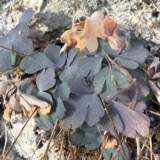 | Aquilegia canadensis L. | 1898 | M. I. Gunn | Natick |
 | Acanthis flammea flammea (Linnaeus, 1758) | 1900 | ZAPPEY, W R | ROSLINDALE |
 | Acer carpinifolium Siebold & Zucc. | 1900 | A. K. Harrison | Harvard Botanic Garden, Cambridge. |
 | Acer palmatum var. dissectum (Thunb.) Miq. | 1900 | A. K. Harrison | Harvard Botanic Garden, Cambridge. |
 | Agaricus brunnescens Peck | 1900 | Morris, G. E. | Waltham |
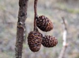 | Alnus incana subsp. rugosa (Du Roi) R.T.Clausen | 1900 | J. Murdoch, Jr. | Roxbury |
All 2,403 specimens within 10 miles, at the Global Biodiversity Information Facility.
Mines and quarries near this place
6 within 5 milesRegional context, not property-specific evidence. The federal mineral resources record lists 6 workings within 5 miles of Waltham: 4 past producers, 1 producer, 1 plant. 2 still produce. What was taken out: Sand and Gravel, Construction, Stone, Crushed/Broken, Tantalum, Niobium (Columbium). Distance is straight-line from the map coordinates, so a quarry counted here may appear on a neighbouring settlement's page as well.
| Where | Site | Commodity | Status | Recorded |
|---|---|---|---|---|
| Nrc Inc--Newton, Ma. | Tantalum, Niobium (Columbium) | Plant | ||
| Massachusetts Broken Stone Co | Stone, Crushed/Broken | Past Producer | ||
| Weston Mine | Stone, Crushed/Broken | Producer | ||
| Burton Pit | Sand and Gravel, Construction | Past Producer | ||
| Town of Wellesley | Sand and Gravel, Construction | Past Producer | Sedimentary | |
| Town of Wellesley | Sand and Gravel, Construction | Past Producer |
Storms near this place
17 since 1996Regional context, not property-specific evidence. The National Weather Service names Waltham in 17 storm reports between 1996 and 2019: 9 flash flood, 3 flood, 2 thunderstorm wind, 1 heavy rain. No death or injury is recorded in these reports. Each account below is quoted exactly as the forecast office filed it, from the NOAA Storm Events Database, and each date opens the federal record of that event.
| When | Event | Place named | Harm | What the report says |
|---|---|---|---|---|
| June 1998 | Flash Flood | Waltham | $570,000 | Lower Charles River |
| July 2019 | Lightning | North Waltham | $2,000 | Lightning started a house fire on Kings Way in Waltham. |
| January 2018 | Flood | North Waltham | - | At 1255 AM EST, the merging lane of I-95/route 128 near route 2 was reported flooded up to the wheel wells of the vehicles. |
| March 2014 | Flood | North Waltham | - | Wyman Street was closed due to flooding. |
| October 2012 | Flood | North Waltham | - | Route 95 Northbound under Route 2 was flooded and impassable. |
| March 2001 | Flash Flood | Waltham | - | Charles River at Waltham |
| June 1998 | Flash Flood | Waltham | - | Lower Charles River |
| June 1998 | Flash Flood | Waltham | - | Lower Charles River |
| June 1998 | Flash Flood | Waltham | - | Lower Charles River |
| March 2001 | Flash Flood | Waltham | - | no account filed |
| May 2001 | Thunderstorm Wind | Waltham | - | no account filed |
| August 1999 | Hail | Waltham | - | no account filed |
| May 1998 | Thunderstorm Wind | Waltham | - | no account filed |
| August 1997 | Heavy Rain | Waltham | - | no account filed |
| October 1996 | Flash Flood | Waltham | - | no account filed |
| October 1996 | Flash Flood | Waltham | - | no account filed |
| October 1996 | Flash Flood | Waltham | - | no account filed |
Nearest settlements
The eight closest, with where each one stands in the county. Distances are straight-line, computed from the Geographic Names Information System coordinates.
| Map | Place | Distance | Sheets |
|---|---|---|---|
| Riverview | 0.5 miles | 46 | |
| Waltham Highlands | 0.8 miles | 46 | |
| Beaver Brook Station | 0.8 miles | 46 | |
| Piety Corner | 1.0 miles | 46 | |
| Cedar Hill Camp | 1.3 miles | 46 | |
| Clematis Brook Station | 1.4 miles | 46 | |
| Cedarwood | 1.5 miles | 46 | |
| Camp Ted | 1.5 miles | 46 |
Elsewhere
Matched on this settlement's Geographic Names Information System number rather than its name, so it cannot be a different place of the same name in another state.
| Wikipedia article on Waltham | An encyclopaedic summary. Its text is share-alike, so it is linked here rather than copied. |
| Wikidata item Q49190 | The structured record the population and elevation above come from. Public domain (CC0). |
Provenance
This settlement is recorded in the Geographic Names Information System as feature 612400. The sheet list is computed by point-in-boundary test against the United States Geological Survey's historical topographic inventory. Both are works of the United States government and carry no copyright under 17 U.S.C. 105.
Wildfire. Short, Karen C. 2022. Spatial wildfire occurrence data for the United States, 1992-2020 [FPA_FOD_20221014]. 6th Edition. Fort Collins, CO: Forest Service Research Data Archive. https://doi.org/10.2737/RDS-2013-0009.6 Collected with United States Government funding and usable without additional permissions or fees.
Specimens. Global Biodiversity Information Facility (GBIF), https://www.gbif.org/. Only records licensed CC0 or CC BY are used. Records licensed CC BY-NC are excluded because this site carries advertising. Images are checked individually and any whose licence is non-commercial, no-derivatives or unreadable is refused.
Mines and quarries. USGS Mineral Resources Data System (MRDS) https://mrdata.usgs.gov/mrds/ A work of the United States government, no copyright under 17 U.S.C. 105.
Storms. NOAA National Centers for Environmental Information, Storm Events Database https://www.ncei.noaa.gov/stormevents/ A work of the United States government, no copyright under 17 U.S.C. 105. Narratives are quoted verbatim from the National Weather Service report and are not edited or summarised.