 Block
Block
Wamsley, Ohio
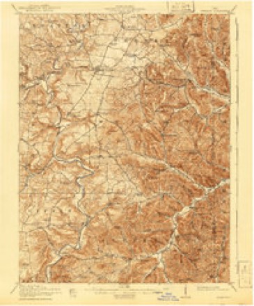
12 topographic sheets cover this place, the earliest surveyed in 1916 and the latest in 1991. It stands in Jefferson Township. It lies in ZIP code area 45657. It lies in Groundhog Hollow. The Survey maps it on the Blue Creek quadrangle.
Then and now
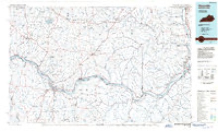
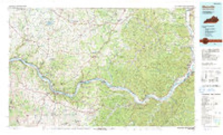
1916 to 1991The same ground, surveyed 75 years apart. Drag the handle to wipe between them. Both sheets are United States Geological Survey originals; neither has been altered.
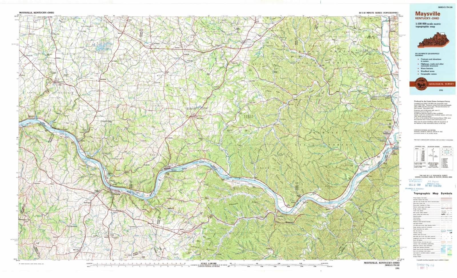
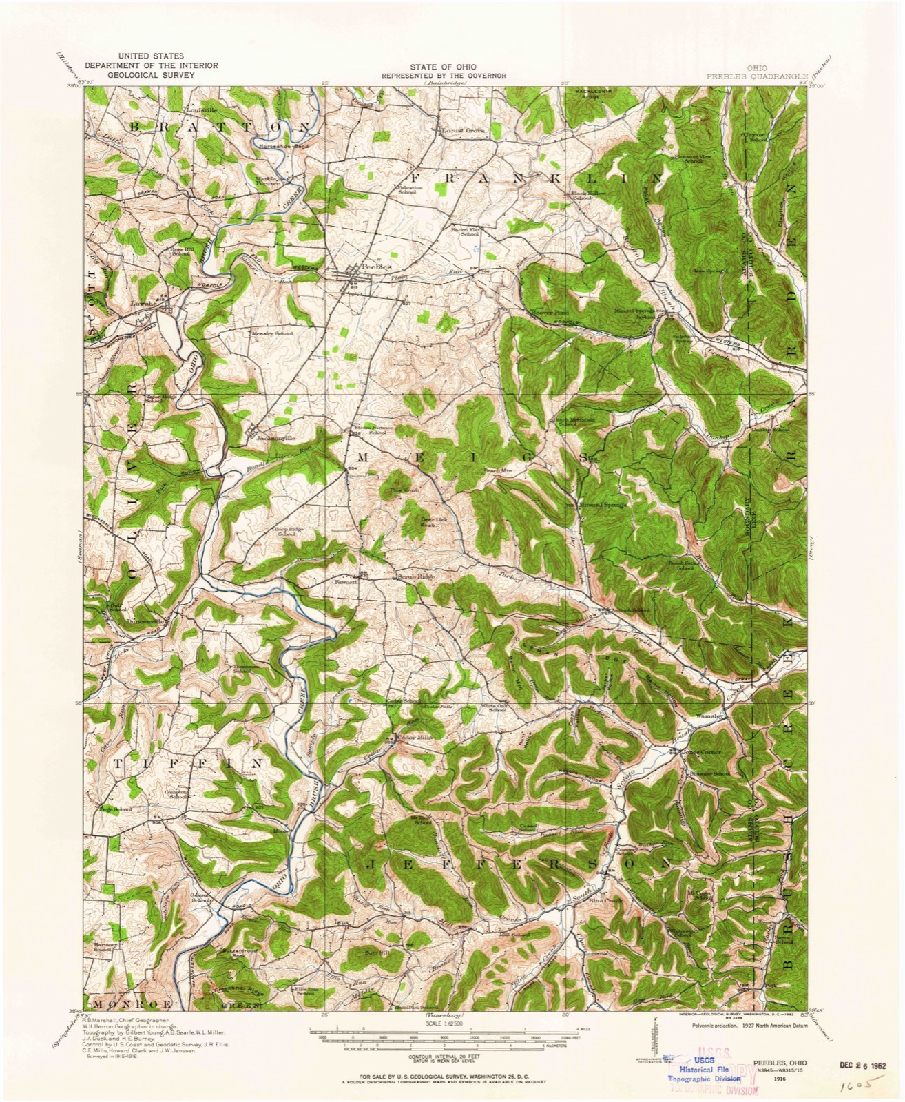
Topographic sheets covering this place
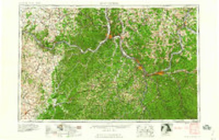
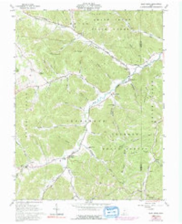
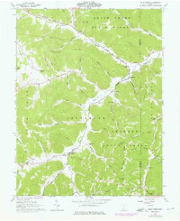
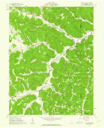
12 sheetsMatched by testing this settlement's coordinate against the published boundary of every sheet in the United States Geological Survey's historical collection. Each opens the scanned sheet at the Survey.
- 1916 USGS Peebles quadrangle1:62500
- 1918 USGS Peebles quadrangle1:62500
- 1918 USGS Peebles quadrangle1:62500
- 1957 USGS Huntington quadrangle1:250000
- 1957 USGS Huntington quadrangle1:250000
- 1957 USGS Huntington quadrangle1:250000
- 1960 USGS Huntington quadrangle1:250000
- 1961 USGS Blue Creek quadrangle1:24000
- 1961 USGS Blue Creek quadrangle1:24000
- 1961 USGS Blue Creek quadrangle1:24000
- 1986 USGS Maysville quadrangle1:100000
- 1991 USGS Maysville quadrangle1:100000
In the county-history sources
4,596 words on this townshipA History of Adams County, Ohio, from Its Earliest Settlement to the Present Time, Including Character Sketches of the Prominent Persons Identified with the First Century of the Country's Growth .., published 1900 names this settlement in its chapter on Jefferson Township. These are the passages that mention it, exactly as the scans read.
The first Methodist Society organized in the Northwest Territory was at the humble cabin of Joseph Moore on Scioto Brush Creek in Adams County. Writers more enthusiastic than accurate have stated that this was in the year 1793 when Joseph Moore settled on the farm recently owned by Oliver Jones in Jefferson Township near Blue Creek postoffice. But this is too early a date. There were no settlements made outside the stockade at Three Islands, or Manchester, previous to 1795 ; and this date is probably the year that Moore's cabin was erected on Scioto Brush Creek, although it may have been a year later. But in 1797, there was quite a number of settlers in the vicinity of Moore's cabin, and it was here, and in this year that the Pioneer Methodist Society in Ohio, and the Northwest Territory, was organized. It is stated that Dr. Edward Tiffin, the first Governor of the State of Ohio, visited the class at Moore's in the year 1797, which is altogether probable, as he located in the town of Chillicothe about the time of its founding in 1796 ; Adamsville near the present site of Rome on the Ohio, was in 1797 made the seat of justice for Adams. County which then included what is now Ross County. Moore's was conveniently near the line of travel from Chillicothe to the place of meeting of the courts of Adams County. About this time there was a society of Methodists in the vicinity of Simon Field's which met at Wamsley's on Ohio Brush Creek, and it is said that Dr. Tiffin frequently preached there, also.
Passage source: A History of Adams County, Ohio, from Its Earliest Settlement to the Present Time, Including Character Sketches of the Prominent Persons Identified with the First Century of the Country's Growth .., published 1900.
Blue Creek, a little hamlet lying along the valley at the junction of Blue Creek with Scioto Brush Creek, including the lower valley of Mill Creek, is a most charming locality. Blue Creek postoffice was established in 1844 with Isaac N. Wamsley first postmaster. There is a good Hotel near this place conducted by John W. Lightbody.
Passage source: A History of Adams County, Ohio, from Its Earliest Settlement to the Present Time, Including Character Sketches of the Prominent Persons Identified with the First Century of the Country's Growth .., published 1900.
In July, 1817, there was a "cloud burst" in the region of Churn Creek, and the waters of that stream, it is said, rose to a height of twenty feet, destroying crops, and otherwise doing great damage along that stream. Scioto Brush Creek suddenly rose from the flood in Churn Creek and vicinity, and soon overflowed its banks. Lazaleer Swim, grandfather of Samuel B. Wamsley, was then living on the farm recently owned by the latter on Scioto Brush Creek. Seeing an approaching storm, he sent his two little boys to pen the sheep in a building in the bottom below the house. It was in the evening and growing quite dark. Suddenly the waters burst in a swift current between the house and the pen in which the children were securing the sheep, and the horrified father saw they could not be rescued. He called to them to climb on top of the sheep pen, which they did, taking up a favorite dog with them. The flood continued to rise, and soon swept the pen with the boys and dog on its roof down the creek where it lodged in a drift of rails and logs against some large sycamore trees near where Wamsleyville is now situated. Here the children remained until the waters began to subside, when they were rescued, almost dead from fright and exposure, by their parents and the neighbors who had been aroused by the frantic cries for help and the pitiful howling of the dog.
Passage source: A History of Adams County, Ohio, from Its Earliest Settlement to the Present Time, Including Character Sketches of the Prominent Persons Identified with the First Century of the Country's Growth .., published 1900.
Machine-read from a century-old scan, so expect the errors a machine makes: misspelled names, dropped words, stray characters.
Read the whole chapter on Jefferson Township - it names this place 1 more 1 time.
Fires near this place
9 since 2004Regional context, not property-specific evidence. The federal wildfire occurrence database lists 9 fires within 5 miles of Wamsley between 2004 and 2018, burning about 30 acres in total. None started naturally. None was recorded as arson. Distance is straight-line from the map coordinates, so a fire counted here may appear on a neighbouring settlement's page as well.
| Reported cause | Fires |
|---|---|
| Debris and open burning | 4 |
| Missing data/not specified/undetermined | 3 |
| Power generation/transmission/distribution | 1 |
| Equipment and vehicle use | 1 |
The most recent of them, most recent first, with the day each was reported and the service that recorded it.
| Date | Cause | Size | Reported by | Name on the report |
|---|---|---|---|---|
| 3 September 2018 | Power generation/transmission/distribution | 1.0 acres | Ohio Department of Natural Resources | 10106 |
| 23 April 2008 | Debris and open burning | under an acre | Ohio Department of Natural Resources | not named |
| 18 April 2017 | Debris and open burning | 4.0 acres | Ohio Department of Natural Resources | 7927 |
| 16 April 2008 | Missing data/not specified/undetermined | 6.5 acres | Ohio Department of Natural Resources | not named |
| 30 March 2016 | Debris and open burning | 5.0 acres | Ohio Department of Natural Resources | 4027 |
| 10 March 2004 | Equipment and vehicle use | 1.0 acres | Ohio Department of Natural Resources | not named |
| 25 February 2004 | Debris and open burning | 3.0 acres | Ohio Department of Natural Resources | not named |
| 21 December 2017 | Missing data/not specified/undetermined | 4.0 acres | Ohio Department of Natural Resources | 9848 |
Settlements close enough to share some of these fires:
Specimens collected near this place
12 of 871 shownRegional context, not property-specific evidence. Museums hold 871 specimens collected within 10 miles of Wamsley between 1892 and 1974: 437 Fungi, 250 Plantae, 168 Animalia, 16 Protozoa. 12 distinct Species records are shown. Collected by A. Braun, A. Cronquist, A.J. Sharp and others. Each is a physical object with a catalogue number, and each entry opens the museum's record. This is what was collected and kept, not a survey of what lives here - nothing can be concluded from a species being absent.
| Image | Species | Year | Collected by | Where, as recorded |
|---|---|---|---|---|
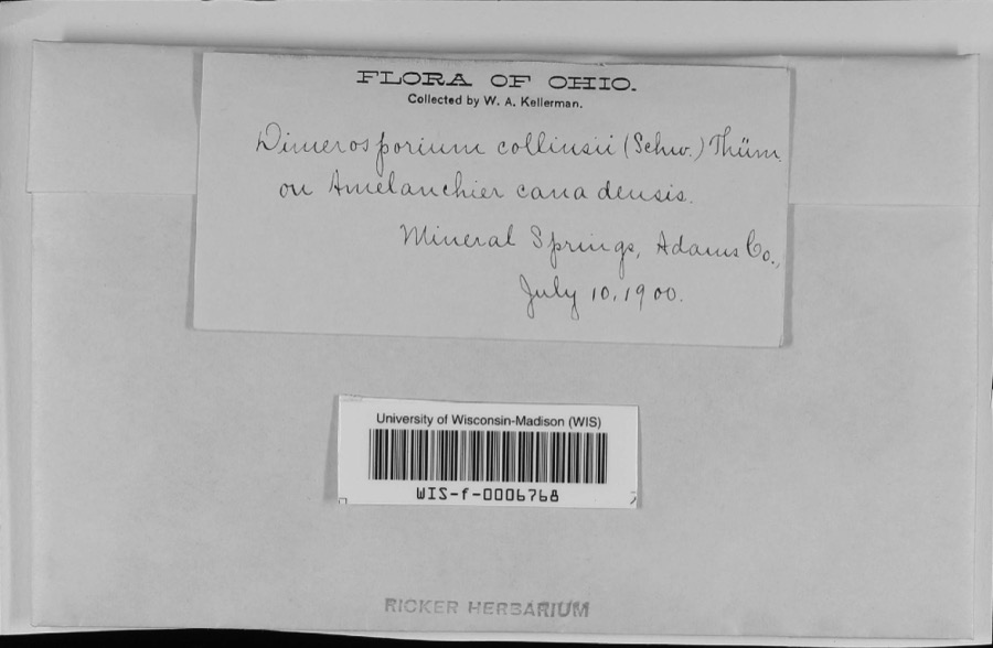 | Apiosporina collinsii (Schwein.) Höhn. | 1900 | W.A. Kellerman | Mineral Springs |
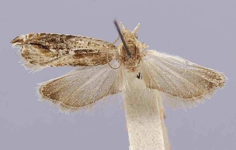 | Anchylopera brauni Heinrich, 1931 | 1927 | [Not Stated] | Beaver Pond |
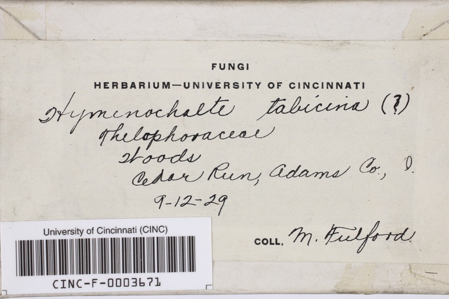 | Hymenochaete tabacina (Sowerby) Lév. | 1929 | Fulford, Margaret H. | Cedar Run |
 | Stigmella platani Fuckel | 1892 | Kellerman W. A. | Mineral Springs |
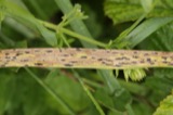 | Phyllachora graminis (Pers.) Fuckel | 1900 | Kern W. A. | Mineral Springs |
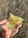 | Puccinia smilacis Schwein. | 1900 | W. A. Kellerman | Mineral Springs |
 | Baeomyces byssoides (L.) P.Gaertn., B.Mey. & Scherb. | 1925 | Muegel, Harry R. | Mineral Springs, Oak Ridge |
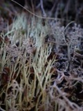 | Cladonia amaurocraea (Flörke) Schaer. | 1925 | Braun, E. Lucy | Mineral Springs, Oak Ridge |
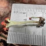 | Cladonia cristatella Tuck. | 1925 | Braun, E. Lucy | Mineral Springs, Oak Ridge |
| Cladonia fimbriata (L.) Fr. | 1925 | Braun, E. Lucy | Mineral Springs, Oak Ridge | |
| Cladonia uncialis (L.) Weber ex F.H.Wigg. | 1925 | Braun, E. Lucy | Mineral Springs, Oak Ridge | |
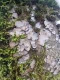 | Dermatocarpon miniatum (L.) W.Mann | 1925 | Braun, E. Lucy | Turkey Creek |
All 871 specimens within 10 miles, at the Global Biodiversity Information Facility.
Nearest settlements
The eight closest, with where each one stands in the county. Distances are straight-line, computed from the Geographic Names Information System coordinates.
| Map | Place | Distance | Sheets |
|---|---|---|---|
| Jones Corner | 1.1 miles | 12 | |
| Blue Creek | 4.6 miles | 12 | |
| Mineral Springs | 4.9 miles | 14 | |
| Cedar Mills | 6.2 miles | 12 | |
| Scrub Ridge | 6.7 miles | 12 | |
| Fawcett | 7.3 miles | 12 | |
| Selig | 7.3 miles | 13 | |
| Jaybird | 7.7 miles | 14 |
Elsewhere
Matched on this settlement's Geographic Names Information System number rather than its name, so it cannot be a different place of the same name in another state.
| Wikipedia article on Wamsley | An encyclopaedic summary. Its text is share-alike, so it is linked here rather than copied. |
| Wikidata item Q23698531 | The structured record the population and elevation above come from. Public domain (CC0). |
Provenance
This settlement is recorded in the Geographic Names Information System as feature 1065453. The sheet list is computed by point-in-boundary test against the United States Geological Survey's historical topographic inventory. Both are works of the United States government and carry no copyright under 17 U.S.C. 105.
Wildfire. Short, Karen C. 2022. Spatial wildfire occurrence data for the United States, 1992-2020 [FPA_FOD_20221014]. 6th Edition. Fort Collins, CO: Forest Service Research Data Archive. https://doi.org/10.2737/RDS-2013-0009.6 Collected with United States Government funding and usable without additional permissions or fees.
Specimens. Global Biodiversity Information Facility (GBIF), https://www.gbif.org/. Only records licensed CC0 or CC BY are used. Records licensed CC BY-NC are excluded because this site carries advertising. Images are checked individually and any whose licence is non-commercial, no-derivatives or unreadable is refused.