 Block
Block
Wellesley Fells, Massachusetts
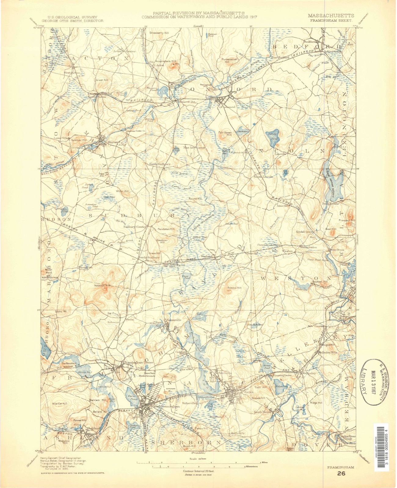
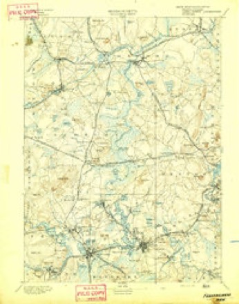
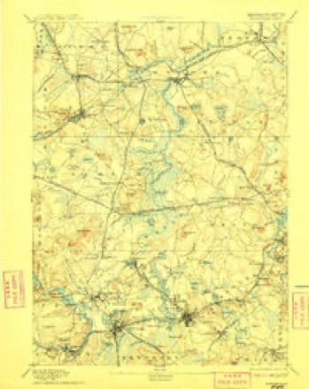
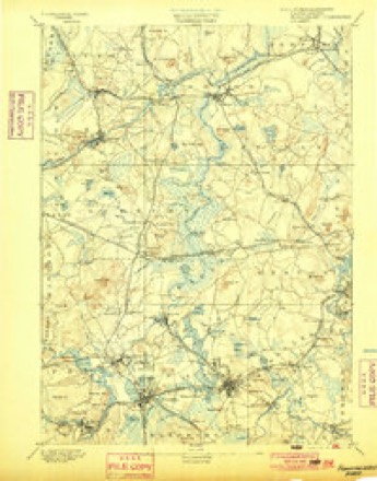
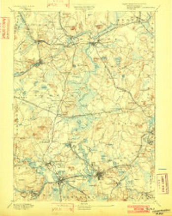
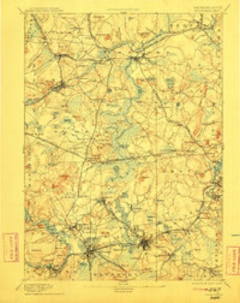
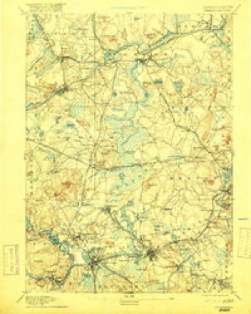
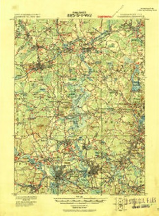
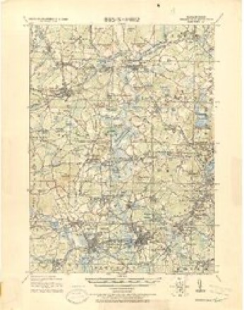
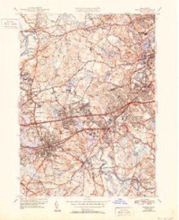
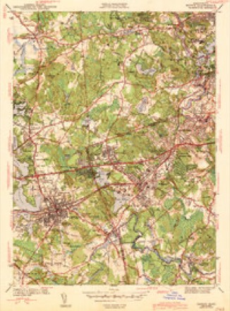
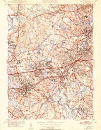
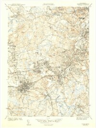
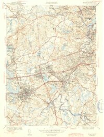
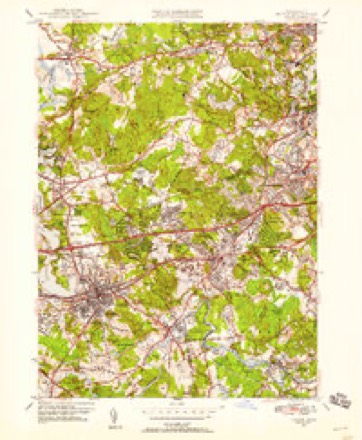
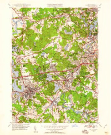
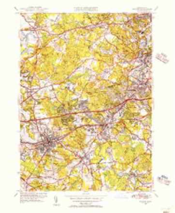
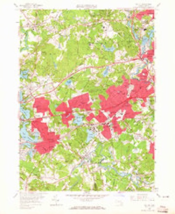
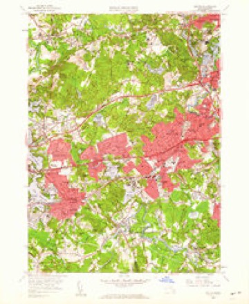
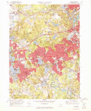
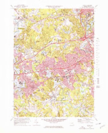
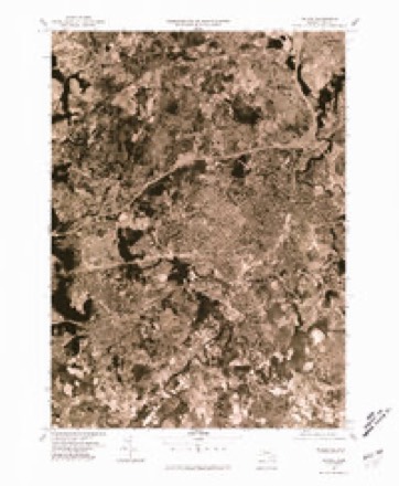
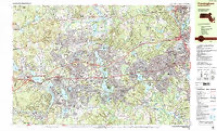
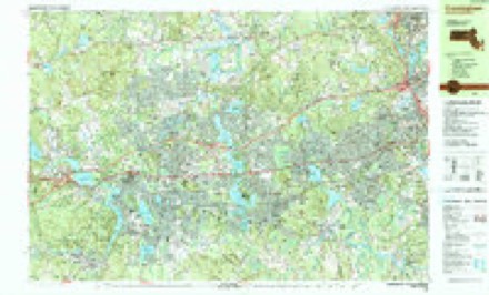
46 topographic sheets cover this place, the earliest surveyed in 1886 and the latest in 1989. It stands in Wellesley town. It lies in ZIP code area 02482. It stands on Boulder Brook. The Survey maps it on the Natick quadrangle.
Then and now
1886 to 1989The same ground, surveyed 103 years apart. Drag the handle to wipe between them. Both sheets are United States Geological Survey originals; neither has been altered.

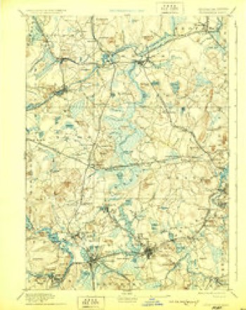
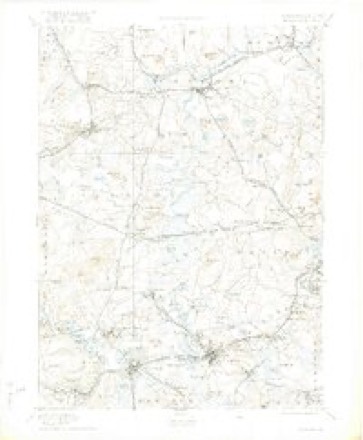
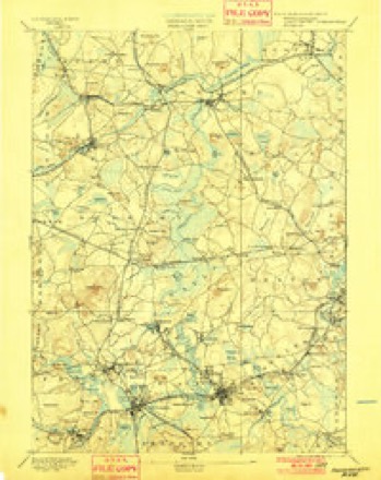
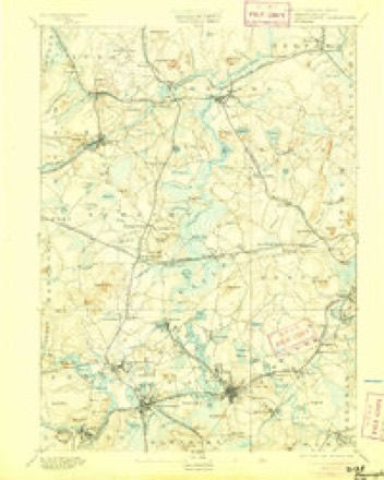
Topographic sheets covering this place
46 sheetsMatched by testing this settlement's coordinate against the published boundary of every sheet in the United States Geological Survey's historical collection. Each opens the scanned sheet at the Survey.
- 1886 USGS Framingham quadrangle1:62500
- 1889 USGS Framingham quadrangle1:62500
- 1894 USGS Framingham quadrangle1:62500
- 1894 USGS Framingham quadrangle1:62500
- 1894 USGS Framingham quadrangle1:62500
- 1894 USGS Framingham quadrangle1:62500
- 1894 USGS Framingham quadrangle1:62500
- 1894 USGS Framingham quadrangle1:62500
- 1894 USGS Framingham quadrangle1:62500
- 1894 USGS Framingham quadrangle1:62500
- 1894 USGS Framingham quadrangle1:62500
- 1894 USGS Framingham quadrangle1:62500
- 1894 USGS Framingham quadrangle1:62500
- 1918 USGS Framingham quadrangle1:62500
- 1918 USGS Framingham quadrangle1:62500
- 1943 USGS Boston quadrangle1:125000
- 1943 USGS Natick quadrangle1:31680
- 1943 USGS Natick quadrangle1:31680
- 1943 USGS Natick quadrangle1:31680
- 1943 USGS Natick quadrangle1:31680
- 1943 USGS Natick quadrangle1:31680
- 1948 USGS Boston quadrangle1:250000
- 1948 USGS Boston quadrangle1:250000
- 1950 USGS Natick quadrangle1:24000
- 1950 USGS Natick quadrangle1:24000
- 1950 USGS Natick quadrangle1:31680
- 1956 USGS Boston quadrangle1:250000
- 1956 USGS Boston quadrangle1:250000
- 1956 USGS Boston quadrangle1:250000
- 1956 USGS Boston quadrangle1:250000
- 1956 USGS Boston quadrangle1:250000
- 1956 USGS Boston quadrangle1:250000
- 1958 USGS Boston quadrangle1:250000
- 1958 USGS Boston quadrangle1:250000
- 1958 USGS Natick quadrangle1:24000
- 1958 USGS Natick quadrangle1:24000
- 1961 USGS Boston quadrangle1:250000
- 1961 USGS Boston quadrangle1:250000
- 1970 USGS Natick quadrangle1:24000
- 1970 USGS Natick quadrangle1:25000
- 1977 USGS Natick quadrangle1:25000
- 1985 USGS Boston quadrangle1:100000
- 1987 USGS Framingham quadrangle1:25000
- 1987 USGS Framingham quadrangle1:25000
- 1989 USGS Boston quadrangle1:100000
- 1989 USGS Boston quadrangle1:100000
















Fires nearby
125 since 1995The federal wildfire occurrence database lists 125 fires within 5 miles of Wellesley Fells between 1995 and 2020, burning about 58 acres in total. 1 started naturally. 6 were recorded as arson. Distance is straight-line from the map coordinates, so a fire counted here may appear on a neighbouring settlement's page as well.
| Reported cause | Fires |
|---|---|
| Missing data/not specified/undetermined | 43 |
| Recreation and ceremony | 40 |
| Debris and open burning | 24 |
| Arson/incendiarism | 6 |
| Smoking | 4 |
| Power generation/transmission/distribution | 3 |
| Misuse of fire by a minor | 1 |
| Fireworks | 1 |
| Equipment and vehicle use | 1 |
| Other causes | 1 |
| Natural | 1 |
The most recent of them, most recent first, with the day each was reported and the service that recorded it.
| Date | Cause | Size | Reported by | Name on the report |
|---|---|---|---|---|
| 9 September 2020 | Debris and open burning | under an acre | Massachusetts Bureau of Forest Fire Control | not named |
| 4 September 2018 | Missing data/not specified/undetermined | under an acre | Massachusetts Bureau of Forest Fire Control | not named |
| 3 September 2018 | Smoking | under an acre | Massachusetts Bureau of Forest Fire Control | not named |
| 3 September 2018 | Missing data/not specified/undetermined | under an acre | Massachusetts Bureau of Forest Fire Control | not named |
| 23 September 2020 | Missing data/not specified/undetermined | under an acre | Massachusetts Bureau of Forest Fire Control | not named |
| 23 September 2015 | Recreation and ceremony | under an acre | Massachusetts Bureau of Forest Fire Control | WELLESLEY |
| 22 September 2020 | Missing data/not specified/undetermined | under an acre | Massachusetts Bureau of Forest Fire Control | not named |
| 21 September 2020 | Debris and open burning | under an acre | Massachusetts Bureau of Forest Fire Control | not named |
Settlements close enough to share some of these fires:
Specimens collected nearby
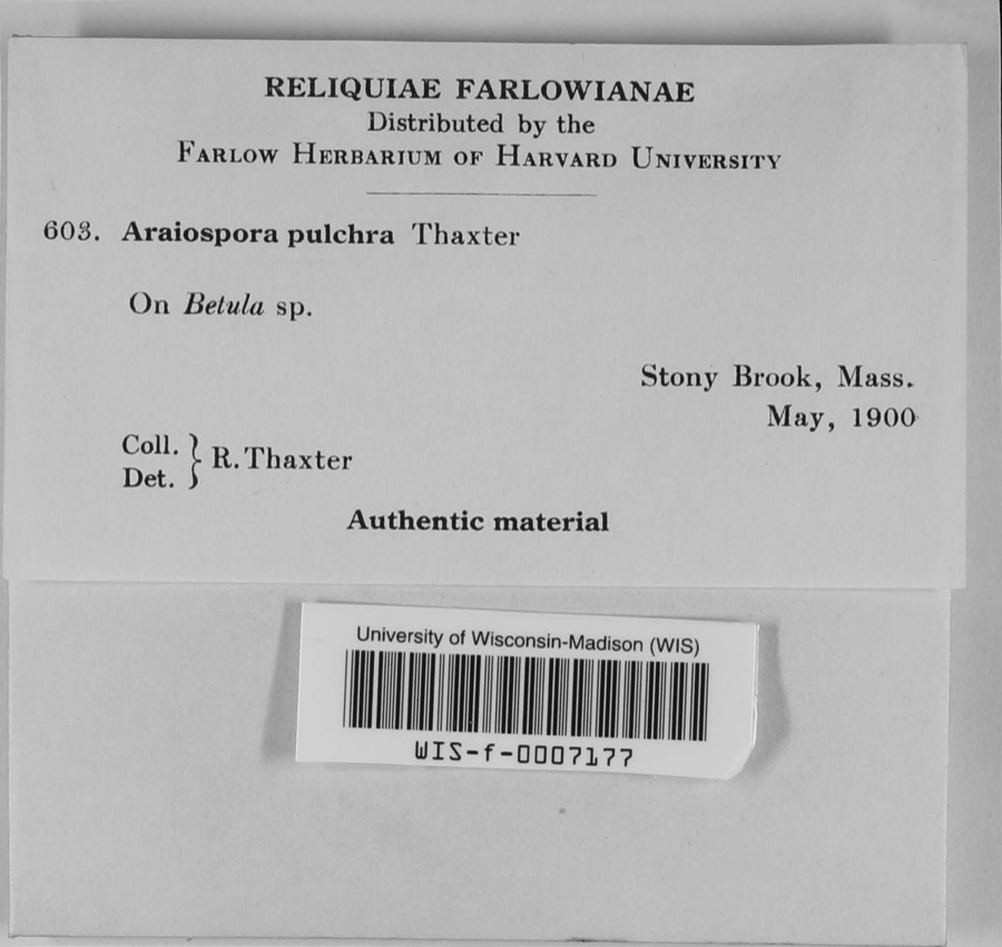
12 of 10,421 shownMuseums hold 10,421 specimens collected within 10 miles of Wellesley Fells between 1805 and 1975: 4,778 Animalia, 2,898 Plantae, 2,491 Fungi, 109 Protozoa, 91 Chromista, 37 Unrecorded, 17 Bacteria. 12 distinct Species records are shown. Collected by ?, ? ex Herb. W.G. Farlow, A C Gibson and others. Each is a physical object with a catalogue number, and each entry opens the museum's record. This is what was collected and kept, not a survey of what lives here - nothing can be concluded from a species being absent.
| Image | Species | Year | Collected by | Where, as recorded |
|---|---|---|---|---|
 | Araiospora pulchra Thaxt. | 1900 | R. Thaxter | Stony Brook |
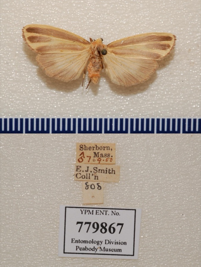 | Hypoprepia fucosa Hübner, 1831 | 1900 | not recorded | Sherborn |
 | Margaritifera margaritifera (Linnaeus, 1758) | 1805 | Bryant, O. | Wash Brook, So. Sudbury, Mass. |
 | Corydalis Vent. | 1815 | Boott, F.M.B. | Worcester turnpike, 6 miles from Boston. |
 | Corylus L. | 1815 | Boott, F.M.B. | Worcester Turnpike, 7 miles from Boston. |
 | Hepatica Mill. | 1815 | Boott, F.M.B. | Sweet Auburn. |
 | Nuphar Sm. | 1815 | Boott, J.W. | Worcester Turnpike 6 miles from Boston. |
 | Sassafras J.Presl | 1815 | Boott, F.M.B. | Worcester Turnpike, 6 miles from Boston. |
 | Thalictrum L. | 1815 | not recorded | Worcester Turnpike. |
 | Viola L. | 1815 | Boott, J.W. | Worcester Turnpike, 7 miles from Boston, U.S.A. [Identical locality information is written on the reverse of the sheet.] |
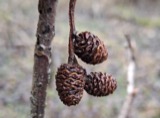 | Alnus Mill. | 1816 | not recorded | Brighton, 4 miles from Boston. |
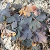 | Aquilegia L. | 1816 | not recorded | Brighton 3½ miles from Boston. |
All 10,421 specimens within 10 miles, at the Global Biodiversity Information Facility.
Mines and quarries nearby
10 of 13 shownThe federal mineral resources record lists 13 workings within 5 miles of Wellesley Fells: 10 past producers, 2 producers, 1 unknown. 2 still produce. What was taken out: Sand and Gravel, Construction, Stone, Crushed/Broken, Peat. Distance is straight-line from the map coordinates, so a quarry counted here may appear on a neighbouring settlement's page as well.
| Where | Site | Commodity | Status | Recorded |
|---|---|---|---|---|
| Panlini Loam Co | Peat | Past Producer | Peat | |
| Massachusetts Broken Stone Co | Stone, Crushed/Broken | Past Producer | ||
| Weston Mine | Stone, Crushed/Broken | Producer | ||
| Arthur Scofield Pit | Sand and Gravel, Construction | Past Producer | ||
| Framington Pit | Sand and Gravel, Construction | Past Producer | ||
| Hi-Way Pit and Mill | Sand and Gravel, Construction | Producer | ||
| New England Sand & Grv Co. Pit & Pl | Sand and Gravel, Construction | Past Producer | ||
| Sand & Gravel Pit | Sand and Gravel, Construction | Unknown | ||
| Stonebridge Pit | Sand and Gravel, Construction | Past Producer | ||
| Town of Natick | Sand and Gravel, Construction | Past Producer | Sedimentary |
Storms nearby
10 since 2008The National Weather Service names Wellesley Fells in 10 storm reports between 2008 and 2024: 3 flood, 3 flash flood, 2 lightning, 2 thunderstorm wind. No death or injury is recorded in these reports. Each account below is quoted exactly as the forecast office filed it, from the NOAA Storm Events Database, and each date opens the federal record of that event.
| When | Event | Place named | Harm | What the report says |
|---|---|---|---|---|
| March 2010 | Flood | Wellesley Fells | $16,640,000 | The Charles River at Dover and the Neponset River at Norwood both went into flood. The Neponset River rose to major flood stage, inundating the Norwood Memorial Airport with three and a half feet of water. This resulted in the power being shut off to the airport and the closure of the airport for several days. The combination of the water and the lack of power kept the Automated Surface Observing System at Norwood (KOWD) out of service for nearly five weeks.||Many roads flooded in Wellesley, Holbrook, Milton, Walpole, Norfolk, Foxborough, Quincy, Braintree, and Dover, including Furnace Brook Parkway in Quincy and two lanes of Interstate 93 at Furnace Brook Parkway. Baseball fields at O'Rourke Playground in Quincy were flooded and two nearby schools were also closed due to flooding. Several homes were flooded in Braintree. Several cars were stuck in floodwaters on Plymouth Street in Holbrook. ||Roughly 100 tenants of an apartment building along Furnace Brook Parkway were evacuated. In West Quincy, two dozen people were evacuated from their homes after floodwaters reached the first floor. At least 40 people were evacuated from their homes in Braintree.||MBTA commuter rail service between Braintree and Holbrook/Randolph was temporarily suspended after a portion of the rail bed was washed out.||A water treatment plant in Quincy that normally handles 360 million gallons of flow became overburdened with 1.3 billion gallons of flow, resulting in the Massachusetts Water Resources Authority to empty about 15 million gallons of untreated waste into Quincy Bay. |
| September 2013 | Flash Flood | Wellesley Fells | $80,000 | A complex of showers and thunderstorms developed over the Wellesley/Needham area. These storms moved very slowly, if at all, producing three to four inches of rain over the region in 1 to 2 hours time. This resulted in widespread flash flooding across both cities. Several streets, including a few major highways were closed due to flooding including: Washington Street, Route 9, Route 16, Route 128 at exit 19, Great Plain Avenue, and Weston Road. Many cars were stuck in flood waters on these roads and across intersections. Numerous basements also were flooded in this region. |
| July 2008 | Lightning | Wellesley Fells | $30,000 | no account filed |
| July 2014 | Thunderstorm Wind | Wellesley Fells | $20,000 | A tree was downed onto a house on Crescent Street which damaged the windows. Another tree was downed on Wellesley Avenue. A large limb was downed on Weston Road and wires were downed on College Road. |
| August 2024 | Thunderstorm Wind | Wellesley Fells | $200 | In Wellesley, a tree was down on Beverly Rd. |
| July 2023 | Lightning | Wellesley Fells | $100 | In Wellesley, lightning struck a tree on Schaller Street, igniting it, per Police Twitter account. |
| July 2023 | Flash Flood | Wellesley Fells | - | In Wellesley, Rt 9 was flooded. |
| June 2020 | Flood | Wellesley Fells | - | In Wellesley, there was significant flooding at Wellesley Fire Headquarters on Route 9. On Haskins Road, a car was stuck in flood waters. A car was stuck in flood waters on the Route 9 bridge. |
| July 2019 | Flood | Wellesley Fells | - | Flooding was reported on Route 135 in Wellesley. |
| September 2013 | Flash Flood | Wellesley Fells | - | Another round of heavy rain, resulted in renewed flooding across Wellesley and Natick. Natick flooding reports will be in another entry for Middlesex County. In Wellesley, many roads were flooded, including: Wellesley Avenue, Brook, Washington, Cottage and Worcester Streets, and Ingraham, Dover, and Amherst Roads. |
Nearest settlements
The eight closest, with where each one stands in the county. Distances are straight-line, computed from the Geographic Names Information System coordinates.
| Map | Place | Distance | Sheets |
|---|---|---|---|
| Overbrook | 0.5 miles | 46 | |
| Wellesley | 1.5 miles | 46 | |
| Wellesley Hills | 2.0 miles | 46 | |
| Grantville | 2.2 miles | 46 | |
| Wellesley Farms | 2.6 miles | 46 | |
| Babson Park | 3.1 miles | 46 | |
| Charles River Station | 4.3 miles | 46 | |
| Glenridge | 4.3 miles | 43 |
Elsewhere
Matched on this settlement's Geographic Names Information System number rather than its name, so it cannot be a different place of the same name in another state.
| Wikidata item Q122555798 | The structured record the population and elevation above come from. Public domain (CC0). |
Provenance
This settlement is recorded in the Geographic Names Information System as feature 612023. The sheet list is computed by point-in-boundary test against the United States Geological Survey's historical topographic inventory. Both are works of the United States government and carry no copyright under 17 U.S.C. 105.
Wildfire. Short, Karen C. 2022. Spatial wildfire occurrence data for the United States, 1992-2020 [FPA_FOD_20221014]. 6th Edition. Fort Collins, CO: Forest Service Research Data Archive. https://doi.org/10.2737/RDS-2013-0009.6 Collected with United States Government funding and usable without additional permissions or fees.
Specimens. Global Biodiversity Information Facility (GBIF), https://www.gbif.org/. Only records licensed CC0 or CC BY are used. Records licensed CC BY-NC are excluded because this site carries advertising. Images are checked individually and any whose licence is non-commercial, no-derivatives or unreadable is refused.
Mines and quarries. USGS Mineral Resources Data System (MRDS) https://mrdata.usgs.gov/mrds/ A work of the United States government, no copyright under 17 U.S.C. 105.
Storms. NOAA National Centers for Environmental Information, Storm Events Database https://www.ncei.noaa.gov/stormevents/ A work of the United States government, no copyright under 17 U.S.C. 105. Narratives are quoted verbatim from the National Weather Service report and are not edited or summarised.