 Block
Wellesley Hills, Massachusetts
46 topographic sheets cover this place, the earliest surveyed in 1886 and the latest in 1989. It stands in Wellesley town. It lies in ZIP code area 02481. It lies near Maugus Hill. The Survey maps it on the Natick quadrangle.
Then and now
1886 to 1989The same ground, surveyed 103 years apart. Drag the handle to wipe between them. Both sheets are United States Geological Survey originals; neither has been altered.
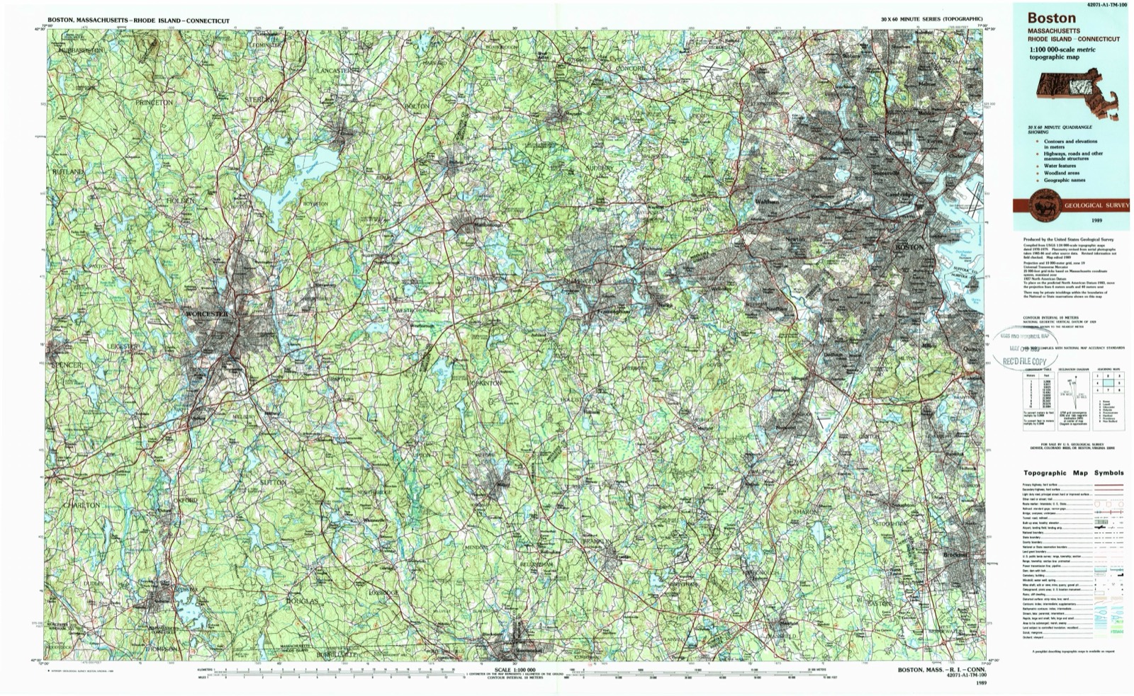
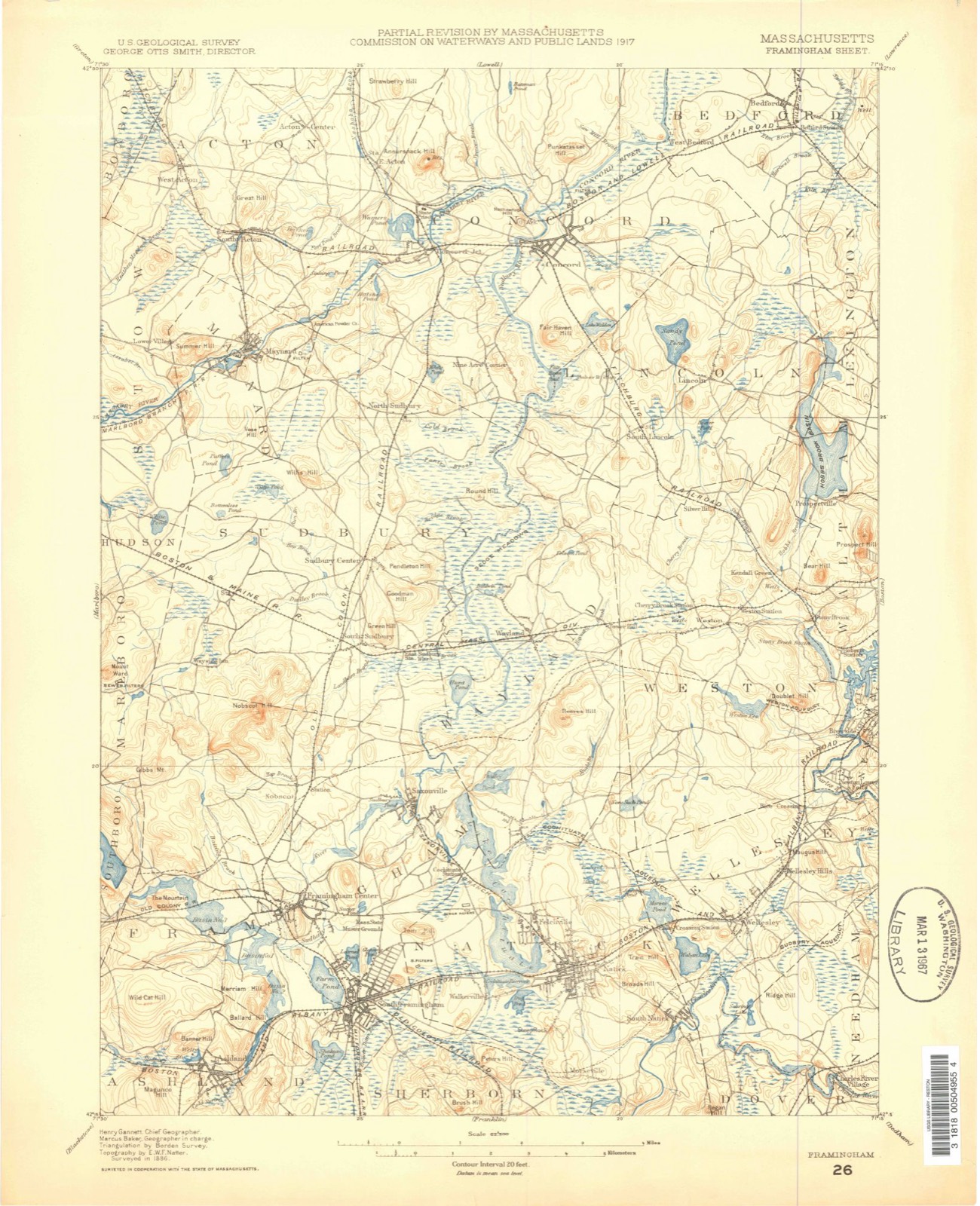
On record in Wellesley Hills
Buildings and businesses the archive holds for this place. Each opens its own page, with the source record it came from.
On the National Register 1 record
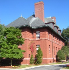 Intermediate Buildinglisted 1981
Topographic sheets covering this place
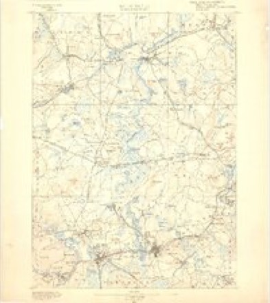
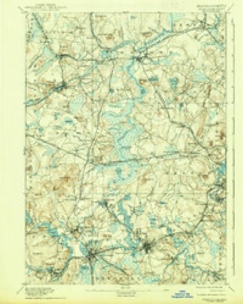
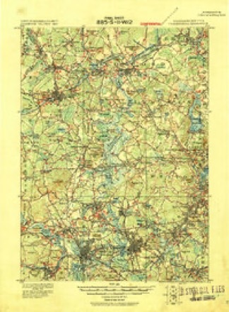
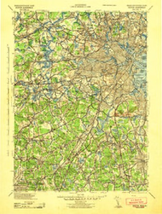
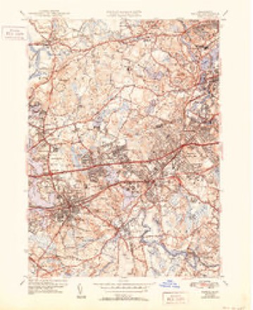
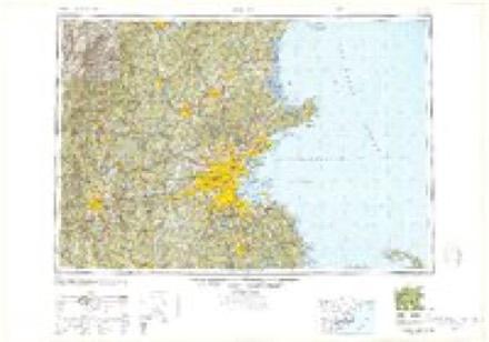
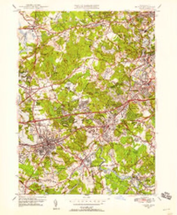
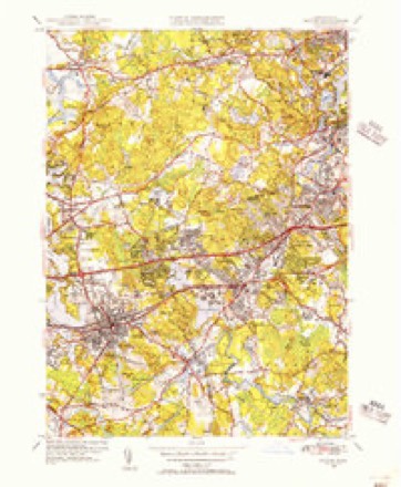
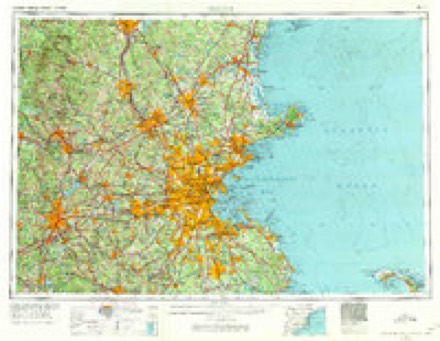
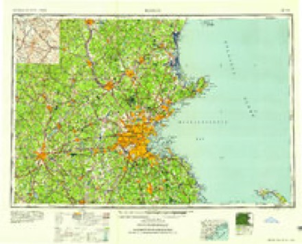
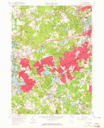
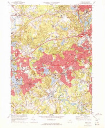
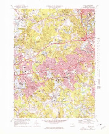
19 surveys from 46 printed sheetsMatched by testing this settlement's coordinate against the published boundary of every sheet in the United States Geological Survey's historical collection. Each opens the scanned sheet at the Survey.
- 1886 USGS Framingham quadrangle1:62500
- 1889 USGS Framingham quadrangle1:62500
- 1894 USGS Framingham quadrangle1:62500, 11 printings
- 1918 USGS Framingham quadrangle1:62500, 2 printings
- 1943 USGS Boston quadrangle1:125000
- 1943 USGS Natick quadrangle1:31680, 5 printings
- 1948 USGS Boston quadrangle1:250000, 2 printings
- 1950 USGS Natick quadrangle1:24000, 2 printings
- 1950 USGS Natick quadrangle1:31680
- 1956 USGS Boston quadrangle1:250000, 6 printings
- 1958 USGS Boston quadrangle1:250000, 2 printings
- 1958 USGS Natick quadrangle1:24000, 2 printings
- 1961 USGS Boston quadrangle1:250000, 2 printings
- 1970 USGS Natick quadrangle1:24000
- 1970 USGS Natick quadrangle1:25000
- 1977 USGS Natick quadrangle1:25000
- 1985 USGS Boston quadrangle1:100000
- 1987 USGS Framingham quadrangle1:25000, 2 printings
- 1989 USGS Boston quadrangle1:100000, 2 printings
In the county-history sources
9,330 words on this townshipHistory of Norfolk County, Massachusetts, with Biographical Sketches of Many of Its Pioneers and Prominent Men, published 1884 names this settlement in its chapter on Wellesley Town. These are the passages that mention it, exactly as the scans read.
The town, and more particularly the village of Wellesley Hills, has a wide reputation for healthfulness, owing in great measure to its elevation, combined with the dryness of its soil and freedom from all malarial and other unhealthful tendencies, and has been the resort for many years, by the advice of the best physicians, for persons afflicted with pulmonary complaints. The charm of the town of Wellesley consists delightful drives and its beautiful landscape scenery, and no enlarged description of its enchanting outlooks, its elegant residences, its public buildings, its hills and vales, its calm waters and rugged ledges can be otherwise than futile and unsatisfactory. The main strect, named for our first President, and noticed with favor by Washington when he made his tour, in 1789, as a " good road," affords a notable drive, much of the way arched with trees, passing through our three villages, rising first to a view of the valley of the Charles, which all admire and artists love, by churches of various architecture and varied beliefs, with hills near and remote, crowned with villas of the wealthy, and and north, with Nonantum behind and Maugus by our side, to suggest to us romances of Indian life, and excite our sympathy for the sufferings of the red men, by the former home of W. G. T. Morton, the discoverer of that greatest of boons to human sufferers, sulphuric ether, by the colleges the monument more enduring than brass, of Henry F. Durant, by the beautiful Lake Waban, Lake of the Wind, named for Eliot's first convert, by the elegant villas of the Hunnewells to the limits of the busy town of Natick.
Passage source: History of Norfolk County, Massachusetts, with Biographical Sketches of Many of Its Pioneers and Prominent Men, published 1884.
Maugus Hill, named for an Indian called Magos, of whom but little is known, save that he deeded land about Mauegus Hill to the town of Dedham in 1681. Wellesley Hills for a short time, was also the name of an Indian who transferred his claim to the tract of land of which Wellesley was a part to the inhabitants of the town of Dedham, and many other names preserved in names of organizations and in names of farms and country-seats.
Passage source: History of Norfolk County, Massachusetts, with Biographical Sketches of Many of Its Pioneers and Prominent Men, published 1884.
The church at Wellesley Hills (Grantville) was built in 1847, and the church was organized Feb. 24, 1847, with thirty members. John Batchelder and Reuel Ware were chosen deacons, and Rey. Harvey Newcomb was installed as pastor Dec. 9, 1847, and dismissed Noy. 8, 1849; Rev. William Barrows, settled Aug. 22,1850, dismissed Jan. 22, 1856; Edward
Passage source: History of Norfolk County, Massachusetts, with Biographical Sketches of Many of Its Pioneers and Prominent Men, published 1884.
Machine-read from a century-old scan, so expect the errors a machine makes: misspelled names, dropped words, stray characters.
Read the whole chapter on Wellesley Town - it names this place 3 more 3 times.
Fires near this place
112 since 2015Regional context, not property-specific evidence. The federal wildfire occurrence database lists 112 fires within 5 miles of Wellesley Hills between 2015 and 2020, burning about 79 acres in total. 1 started naturally. 1 was recorded as arson. Distance is straight-line from the map coordinates, so a fire counted here may appear on a neighbouring settlement's page as well.
| Reported cause | Fires |
|---|---|
| Recreation and ceremony | 56 |
| Missing data/not specified/undetermined | 34 |
| Debris and open burning | 12 |
| Power generation/transmission/distribution | 3 |
| Smoking | 3 |
| Misuse of fire by a minor | 1 |
| Other causes | 1 |
| Arson/incendiarism | 1 |
| Natural | 1 |
The most recent of them, most recent first, with the day each was reported and the service that recorded it.
| Date | Cause | Size | Reported by | Name on the report |
|---|---|---|---|---|
| 9 September 2020 | Debris and open burning | under an acre | Massachusetts Bureau of Forest Fire Control | not named |
| 4 September 2015 | Recreation and ceremony | under an acre | Massachusetts Bureau of Forest Fire Control | NEEDHAM |
| 3 September 2015 | Recreation and ceremony | under an acre | Massachusetts Bureau of Forest Fire Control | NEEDHAM |
| 23 September 2020 | Missing data/not specified/undetermined | under an acre | Massachusetts Bureau of Forest Fire Control | not named |
| 23 September 2015 | Recreation and ceremony | under an acre | Massachusetts Bureau of Forest Fire Control | WELLESLEY |
| 22 September 2020 | Missing data/not specified/undetermined | under an acre | Massachusetts Bureau of Forest Fire Control | not named |
| 21 September 2015 | Recreation and ceremony | under an acre | Massachusetts Bureau of Forest Fire Control | NEEDHAM |
| 14 September 2016 | Missing data/not specified/undetermined | under an acre | Massachusetts Bureau of Forest Fire Control | NEEDHAM |
Settlements close enough to share some of these fires:
Specimens collected near this place
12 of 13,299 shownRegional context, not property-specific evidence. Museums hold 13,299 specimens collected within 10 miles of Wellesley Hills between 1805 and 1975: 5,458 Animalia, 3,790 Fungi, 3,614 Plantae, 191 Protozoa, 168 Chromista, 46 Unrecorded, 32 Bacteria. 12 distinct Species records are shown. Collected by ?, ? ex Herb. W.G. Farlow, A C Gibson and others. Each is a physical object with a catalogue number, and each entry opens the museum's record. This is what was collected and kept, not a survey of what lives here - nothing can be concluded from a species being absent.
| Image | Species | Year | Collected by | Where, as recorded |
|---|---|---|---|---|
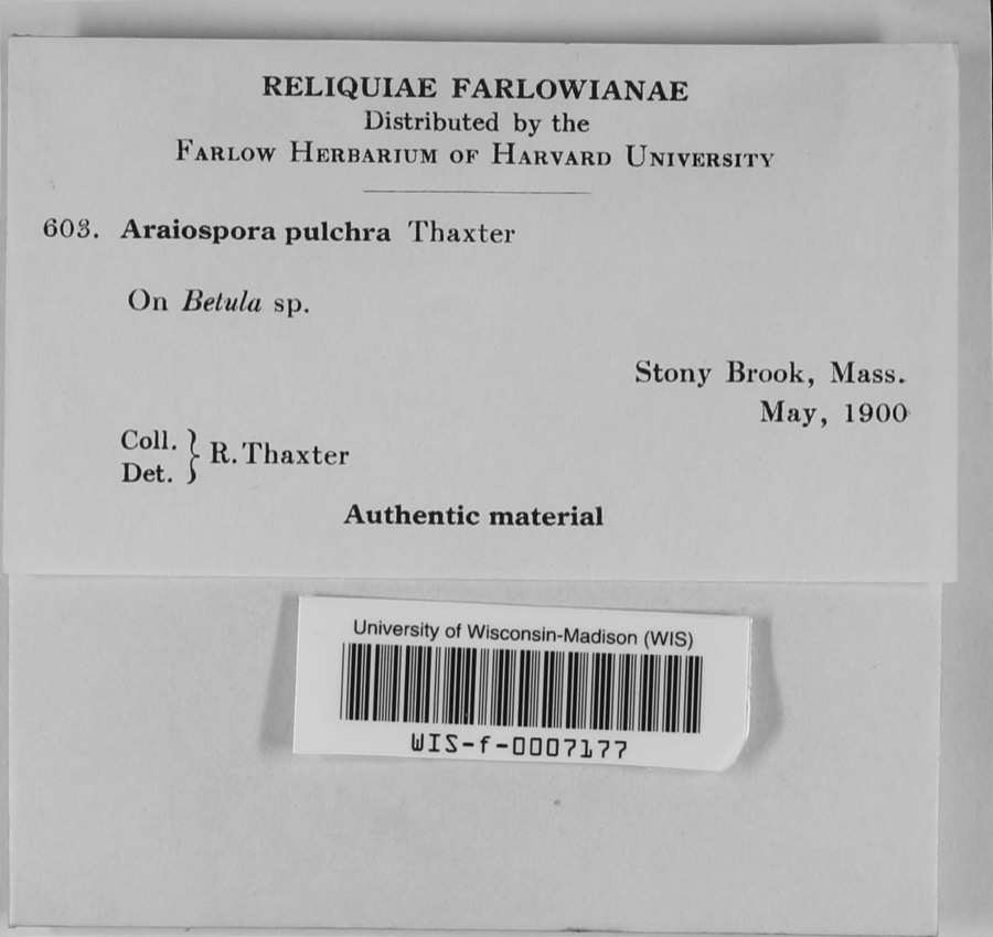 | Araiospora pulchra Thaxt. | 1900 | R. Thaxter | Stony Brook |
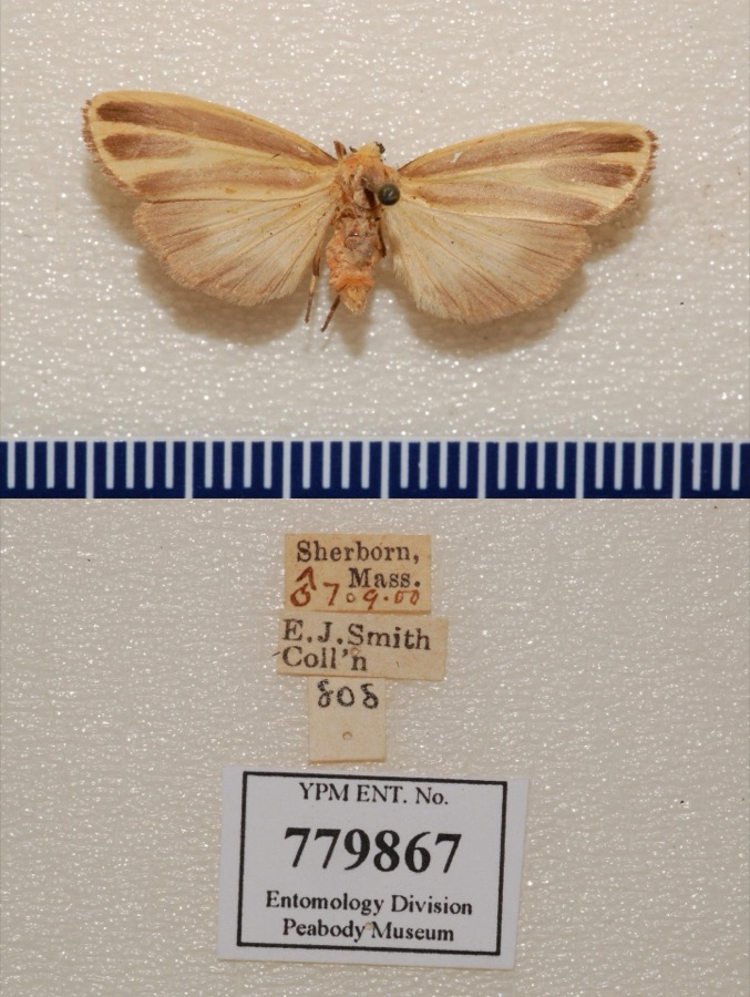 | Hypoprepia fucosa Hübner, 1831 | 1900 | not recorded | Sherborn |
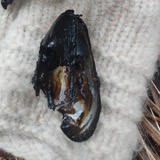 | Margaritifera margaritifera (Linnaeus, 1758) | 1805 | Bryant, O. | Wash Brook, So. Sudbury, Mass. |
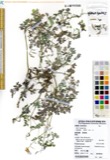 | Corydalis Vent. | 1815 | Boott, F.M.B. | Worcester turnpike, 6 miles from Boston. |
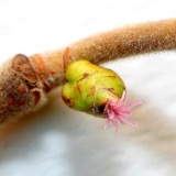 | Corylus L. | 1815 | not recorded | Cambridge Port, 2 miles from Boston. |
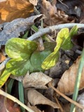 | Hepatica Mill. | 1815 | Boott, F.M.B. | Sweet Auburn. |
 | Nuphar Sm. | 1815 | Boott, J.W. | Worcester Turnpike 6 miles from Boston. |
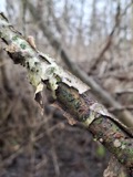 | Populus L. | 1815 | not recorded | Cambridgeport, 1 mile from Boston. |
 | Salix L. | 1815 | not recorded | Cambridge, 3 1/2 miles from Boston. |
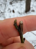 | Sassafras J.Presl | 1815 | Boott, F.M.B. | Worcester Turnpike, 6 miles from Boston. |
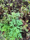 | Thalictrum L. | 1815 | not recorded | Worcester Turnpike. |
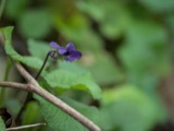 | Viola L. | 1815 | Boott, J.W. | Worcester Turnpike, 7 miles from Boston, U.S.A. [Identical locality information is written on the reverse of the sheet.] |
All 13,299 specimens within 10 miles, at the Global Biodiversity Information Facility.
Mines and quarries near this place
10 within 5 milesRegional context, not property-specific evidence. The federal mineral resources record lists 10 workings within 5 miles of Wellesley Hills: 8 past producers, 2 producers. 2 still produce. What was taken out: Sand and Gravel, Construction, Stone, Crushed/Broken, Stone. Distance is straight-line from the map coordinates, so a quarry counted here may appear on a neighbouring settlement's page as well.
| Where | Site | Commodity | Status | Recorded |
|---|---|---|---|---|
| Walpole Quarry | Stone | Past Producer | ||
| Massachusetts Broken Stone Co | Stone, Crushed/Broken | Past Producer | ||
| Weston Mine | Stone, Crushed/Broken | Producer | ||
| Burton Pit | Sand and Gravel, Construction | Past Producer | ||
| Greendale Pit | Sand and Gravel, Construction | Past Producer | ||
| Hi-Way Pit and Mill | Sand and Gravel, Construction | Producer | ||
| Town of Natick | Sand and Gravel, Construction | Past Producer | Sedimentary | |
| Town of Needham | Sand and Gravel, Construction | Past Producer | Sedimentary | |
| Town of Wellesley | Sand and Gravel, Construction | Past Producer | Sedimentary | |
| Town of Wellesley | Sand and Gravel, Construction | Past Producer |
Nearest settlements
The eight closest, with where each one stands in the county. Distances are straight-line, computed from the Geographic Names Information System coordinates.
| Map | Place | Distance | Sheets |
|---|---|---|---|
| Grantville | 0.4 miles | 46 | |
| Wellesley Farms | 0.9 miles | 46 | |
| Wellesley | 1.1 miles | 46 | |
| Babson Park | 1.2 miles | 46 | |
| Wellesley Fells | 2.0 miles | 46 | |
| Overbrook | 2.4 miles | 46 | |
| Needham Heights | 2.6 miles | 46 | |
| Needham | 3.0 miles | 46 |
Elsewhere
Matched on this settlement's Geographic Names Information System number rather than its name, so it cannot be a different place of the same name in another state.
| Wikidata item Q122563635 | The structured record the population and elevation above come from. Public domain (CC0). |
Provenance
This settlement is recorded in the Geographic Names Information System as feature 612024. The sheet list is computed by point-in-boundary test against the United States Geological Survey's historical topographic inventory. Both are works of the United States government and carry no copyright under 17 U.S.C. 105.
Wildfire. Short, Karen C. 2022. Spatial wildfire occurrence data for the United States, 1992-2020 [FPA_FOD_20221014]. 6th Edition. Fort Collins, CO: Forest Service Research Data Archive. https://doi.org/10.2737/RDS-2013-0009.6 Collected with United States Government funding and usable without additional permissions or fees.
Specimens. Global Biodiversity Information Facility (GBIF), https://www.gbif.org/. Only records licensed CC0 or CC BY are used. Records licensed CC BY-NC are excluded because this site carries advertising. Images are checked individually and any whose licence is non-commercial, no-derivatives or unreadable is refused.
Mines and quarries. USGS Mineral Resources Data System (MRDS) https://mrdata.usgs.gov/mrds/ A work of the United States government, no copyright under 17 U.S.C. 105.