 Block
Block
West Liberty, Ohio
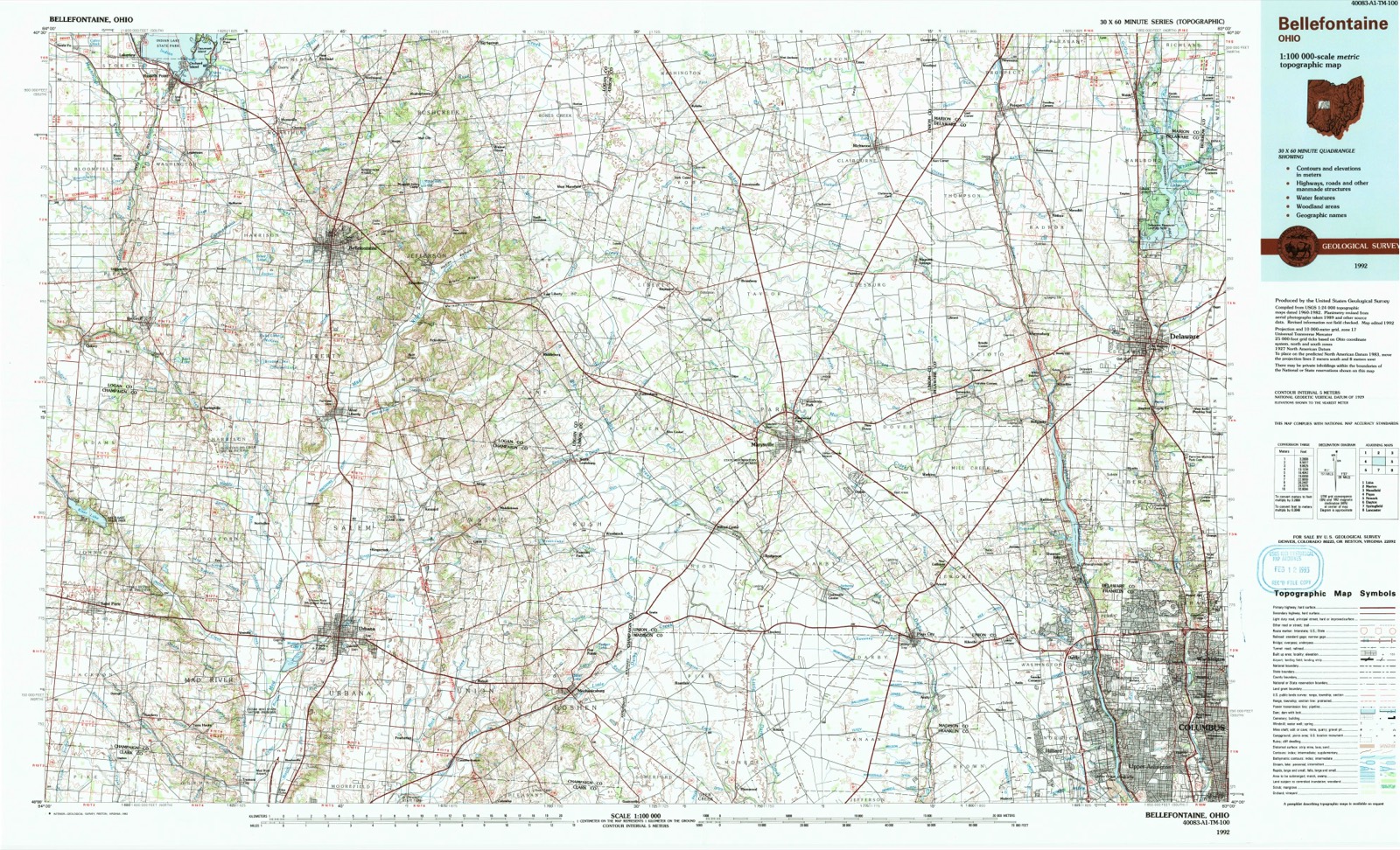
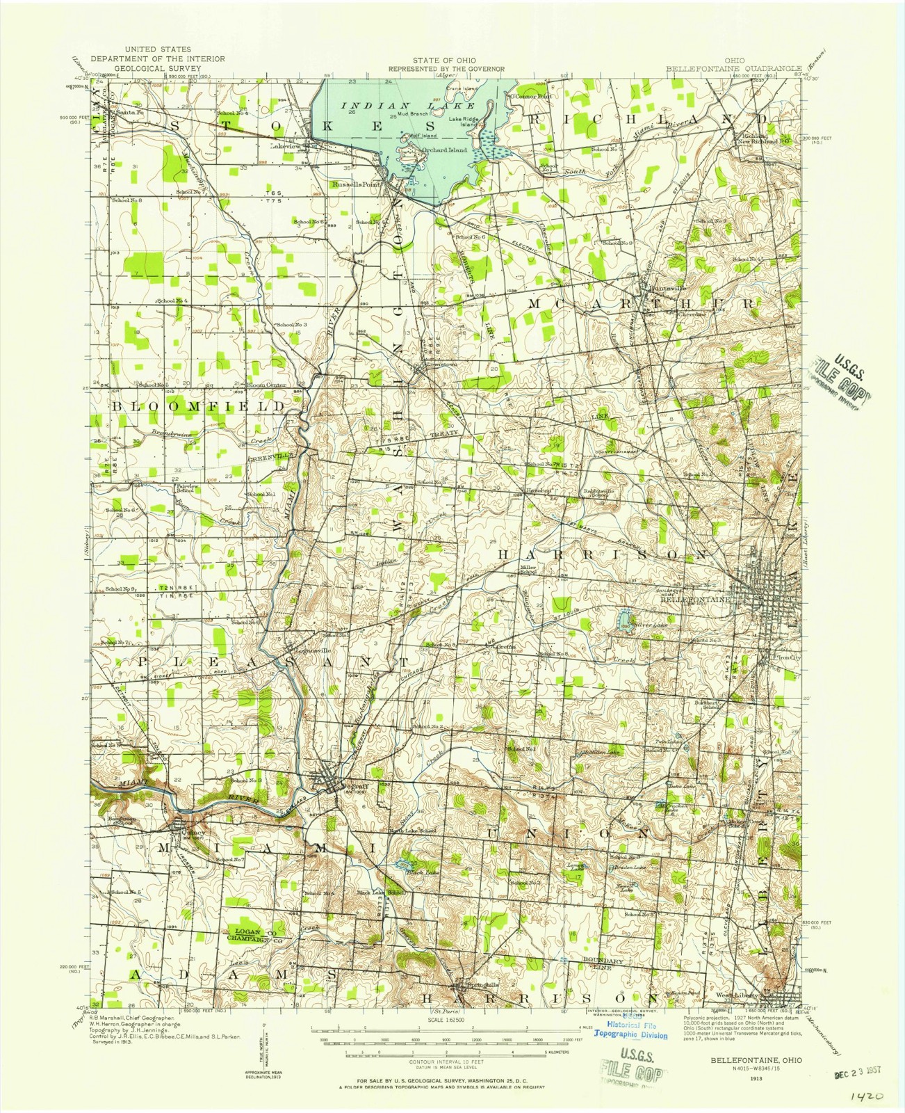
17 topographic sheets cover this place, the earliest surveyed in 1913 and the latest in 1992. It stands in Liberty Township. It lies in ZIP code area 43357. It stands on Macochee Creek. The Survey maps it on the Bellefontaine quadrangle. 1,770 people lived here at the 2020 count.
Population over time
2 figuresWest Liberty fell from 1,805 to 1,770 between 2010 and 2020. These are the recorded population figures Wikidata holds for this place, reached through the Geographic Names Information System number this page is keyed on rather than by name, so they belong to this place and not to another of the same name. Most are census counts, but not all are: an early figure may be a founding or settlement estimate. The change column is computed, and is left blank where more than 20 years separate a figure from the one before it, because a gap that long is not a change between two counts.
| Year | People | Change |
|---|---|---|
| 2010 | 1,805 | |
| 2020 | 1,770 | -35 (-2%) |
Then and now
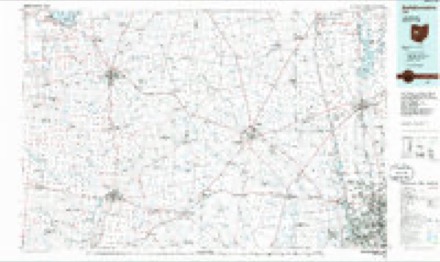
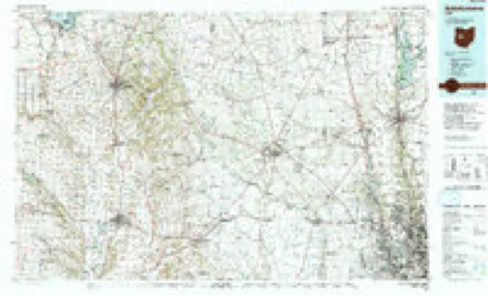
1913 to 1992The same ground, surveyed 79 years apart. Drag the handle to wipe between them. Both sheets are United States Geological Survey originals; neither has been altered.
Topographic sheets covering this place
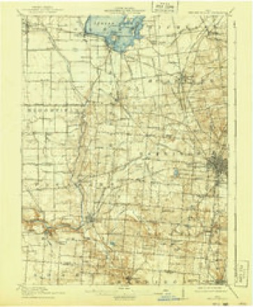
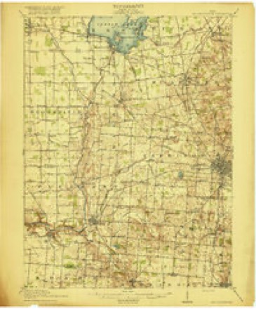
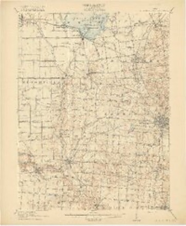
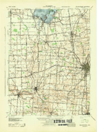
17 sheetsMatched by testing this settlement's coordinate against the published boundary of every sheet in the United States Geological Survey's historical collection. Each opens the scanned sheet at the Survey.
- 1913 USGS Bellefontaine quadrangle1:62500
- 1913 USGS Bellefontaine quadrangle1:48000
- 1915 USGS Bellefontaine quadrangle1:62500
- 1915 USGS Bellefontaine quadrangle1:62500
- 1915 USGS Bellefontaine quadrangle1:62500
- 1944 USGS Bellefontaine quadrangle1:62500
- 1950 USGS Marion quadrangle1:250000
- 1960 USGS Bellefontaine quadrangle1:24000
- 1960 USGS Bellefontaine quadrangle1:24000
- 1960 USGS Bellefontaine quadrangle1:24000
- 1960 USGS Bellefontaine quadrangle1:24000
- 1962 USGS Marion quadrangle1:250000
- 1966 USGS Marion quadrangle1:250000
- 1966 USGS Marion quadrangle1:250000
- 1966 USGS Marion quadrangle1:250000
- 1986 USGS Bellefontaine quadrangle1:100000
- 1992 USGS Bellefontaine quadrangle1:100000





In the county-history sources
57,862 words on this townshipHistory of Logan County and Ohio : Containing a History of the State of Ohio, from Its Earliest Settlement to the Present Time ... a History of Logan County, Giving an Account of Its Aboriginal Inhabitants ... Biographical Sketches, Portraits of Some of the Early Settlers and Prominent Men, Etc, published 1880 names this settlement in its chapter on Liberty Township. These are the passages that mention it, exactly as the scans read.
P. E. HARNER, farmer; P. O., West Liberty; was born March 18, 1834, in I^ancaster Co., Pa.; his father, J. A., was born Jan. 26, 1795, in Chester Co., and his mother, Elizabeth Emery, in the same county. They emigated to Ohio in 1846, stopping for a few days in Champaign Co., and then on the farm now owned by Daniel Yoder. In 1858 they moved to West Liberty, where the father died in 1869, and the mother in 1875. They were early members of the Presbyterian Church at this place. The father was for some time director of this county's Infirmary. The Creator gave to them eleven children, four of whom are living - A. R., Maria, Jacob C. and P. E. The latter attended school as much as convenient until 22 years old, about which time he began learning the carpenter's trade, which he continued some time. He was married Dec. 28, 1857, to Elizabeth, daughter of Jacob and Diana (Huber) Miller, natives of Rockingham Co., Va. They came early to Logan Co., and settled near De Graff, where the mother is still living, the father being deceased. Her parents had seven children - Margaret, Elizabeth, Polly, Barbara, Susan, Martin and Abeduego. Her parents early identified themselves with the German Baptist
Passage source: History of Logan County and Ohio : Containing a History of the State of Ohio, from Its Earliest Settlement to the Present Time ... a History of Logan County, Giving an Account of Its Aboriginal Inhabitants ... Biographical Sketches, Portraits of Some of the Early Settlers and Prominent Men, Etc, published 1880.
Church. Mrs. Harner was born Feb. 7, 1832, in Logan Co. She has blessed her husband with four children - Marion C, Charles B., John A., and Jacob M. Mr. Harner settled, when first married, where Daniel Yoder now lives, renting the same of his father for eleven years; he then bought his present farm of 217 acres of C. Yoder, and has since remained, and has made many valuable improvements. He is a member of the I. O. O. F., of West Liberty, in which society he has served in all offices. Himself and wife are members of the Presbyterian Church. He votes the Republican ticket, and paid off a portion of this township's draft. His brother, George S., was in Co. I., 96th O. V. I.; he was from this township, and died near Young's Point. Mr. Harner is making a specialty of the Poland China hogs, and has some of the finest stock. He has always taken a deep interest in education, believing that a well improved mind always finds occupation.
Passage source: History of Logan County and Ohio : Containing a History of the State of Ohio, from Its Earliest Settlement to the Present Time ... a History of Logan County, Giving an Account of Its Aboriginal Inhabitants ... Biographical Sketches, Portraits of Some of the Early Settlers and Prominent Men, Etc, published 1880.
W. C. KAVANAGH, dentist and Mayor, West Liberty; was born July 20, 1823, in Champaign Co. He there received as good education as the log cabin times afforded, having attended about twelve weeks during the year. At the age of 24 he began reading medicine with Dr. Fuller, at this place, continuing two years, and then retired, on account of illness. He was married, in 1854, to Evaline Hanger, a native of Augusta Co., Va. In 1858, he began clerking for Cornell, at this place, and was elected Mayor of this village in 1870, which position he held for eight years. In 1880, he was again chosen for that position. He has always taken a deep interest in the schools ; has been Clerk of the School Board for many years, and is a member of Liberty Lodge, No. 96, I. O. O. F. He and his wife are members of the Christian Church, at this place. They have one child, Mary, at home. He read dentistry with' Dr. Gill, at this place, and enlists his time and talent at that business. His father, James, was born about 1791, in Kentucky, and his mother, Rachel (Covington), in Ohio. Thej' settled in Champaign Co., where they died - the mother first, after which he again married. By his first wife he had six children, three of whom survive - John, Sarah and W. C, and by his last marriage had four children. He was in the war of 1812, serving under Captam Black. , The doctor and parents were members of the Christian Church.
Passage source: History of Logan County and Ohio : Containing a History of the State of Ohio, from Its Earliest Settlement to the Present Time ... a History of Logan County, Giving an Account of Its Aboriginal Inhabitants ... Biographical Sketches, Portraits of Some of the Early Settlers and Prominent Men, Etc, published 1880.
Machine-read from a century-old scan, so expect the errors a machine makes: misspelled names, dropped words, stray characters.
Read the whole chapter on Liberty Township - it names this place 34 more 34 times.
Specimens collected near this place
12 of 723 shownRegional context, not property-specific evidence. Museums hold 723 specimens collected within 10 miles of West Liberty between 1862 and 1975: 699 Animalia, 20 Plantae, 4 Fungi. 12 distinct Species records are shown. Collected by A Schwartz, A. D. Selby, A. R. Gaufin and others. Each is a physical object with a catalogue number, and each entry opens the museum's record. This is what was collected and kept, not a survey of what lives here - nothing can be concluded from a species being absent.
| Image | Species | Year | Collected by | Where, as recorded |
|---|---|---|---|---|
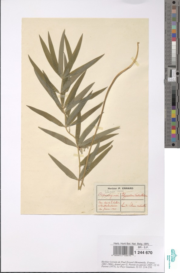 | Polygonatum verticillatum (L.) All. | 1911 | Errard P. | Bellefontaine |
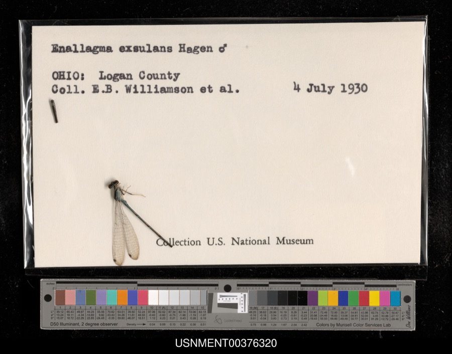 | Enallagma exsulans (Hagen, 1861) | 1930 | E. Williamson & et al. | [Not Stated] |
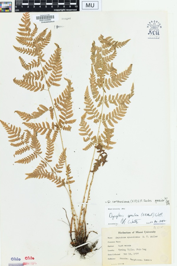 | Dryopteris spinulosa (O.F.Müll.) Watt | 1937 | Brooks; Barghoorn. Howard. | Soringhills, Harison, OH. Ohio bog |
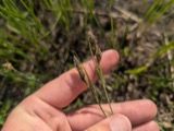 | Carex buxbaumii Wahlenb. | 1862 | W. M. Canby | Belfontaine. |
 | Nasturtium officinale R.Br. | 1862 | W. M. Canby | Bellefontaine |
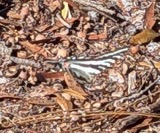 | Protographium marcellus (Cramer, 1777) | 1869 | not recorded | Bellefontaine |
 | Otus asio naevius (J.F.Gmelin, 1788) | 1874 | Trautman, M. B. (Milton Bernard) & Trautman, M. A. (Mary Auten) | Logan, Ohio, USA |
 | Solenostoma crenuliforme (Austin) Steph. | 1877 | not recorded | |
 | Gallinago delicata (Ord, 1825) | 1889 | McCormick, L. M. | Oberlin, Logan, Ohio, USA |
 | Gallinago gallinago delicata (Ord, 1825) | 1889 | McCormick, L. M. | Beaver Creek, Logan, Ohio, USA |
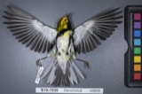 | Dendroica virens virens (J.F.Gmelin, 1789) | 1891 | McCormick, L. M. | Oberlin, Logan, Ohio, USA |
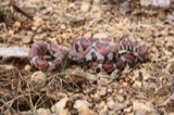 | Lampropeltis triangulum (Lacépède, 1789) | 1893 | not recorded | Logan Co., Ohio |
All 723 specimens within 10 miles, at the Global Biodiversity Information Facility.
Mines and quarries near this place
2 within 5 milesRegional context, not property-specific evidence. The federal mineral resources record lists 2 workings within 5 miles of West Liberty: 1 past producer, 1 producer. 1 still produces. What was taken out: Sand and Gravel, Construction. Distance is straight-line from the map coordinates, so a quarry counted here may appear on a neighbouring settlement's page as well.
| Where | Site | Commodity | Status | Recorded |
|---|---|---|---|---|
| Johnson Gravel Pit | Sand and Gravel, Construction | Past Producer | Sedimentary | |
| Johnson's Gravel Pit | Sand and Gravel, Construction | Producer |
Storms near this place
25 since 1995Regional context, not property-specific evidence. The National Weather Service names West Liberty in 25 storm reports between 1995 and 2026: 18 thunderstorm wind, 6 hail, 1 flash flood. No death or injury is recorded in these reports. Each account below is quoted exactly as the forecast office filed it, from the NOAA Storm Events Database, and each date opens the federal record of that event.
| When | Event | Place named | Harm | What the report says |
|---|---|---|---|---|
| May 2019 | Flash Flood | West Liberty | $1,000,000 | Four to six inches of rain fell across portions of central and southern Logan County, flooding numerous roads and homes in the Bellefontaine and West Liberty areas. Several county roads and culverts were damaged from the flash flooding. |
| July 2019 | Thunderstorm Wind | West Liberty | $20,000 | Numerous trees and power lines were downed near U.S. 68 and Township Road 190. Trees were also downed along County Roads 5 and 29. |
| July 2023 | Thunderstorm Wind | West Liberty | $12,000 | Several trees and power lines were downed. |
| March 2016 | Thunderstorm Wind | West Liberty | $10,000 | Several trees and power lines were downed across the southern parts of Logan County. |
| May 2006 | Thunderstorm Wind | West Liberty | $8,000 | Two barns sustained major damage along State Route 287, with one of the barns having its roof removed. Trees were also downed. |
| August 2020 | Thunderstorm Wind | West Liberty | $5,000 | A tree fell down on a house. |
| July 2023 | Thunderstorm Wind | West Liberty | $4,000 | A few trees were downed in the West Liberty area. |
| July 2022 | Thunderstorm Wind | West Liberty | $4,000 | A power pole was downed on East Newell Street. |
| July 2012 | Thunderstorm Wind | West Liberty | $3,000 | Trees were downed in West Liberty due to damaging thunderstorm winds. |
| July 2005 | Thunderstorm Wind | West Liberty | $3,000 | Two trees were knocked down. |
| June 1995 | Thunderstorm Wind | West Liberty | $3,000 | Winds estimated at 65 to 70 mph, knocked down large tree limbs. |
| September 2013 | Hail | West Liberty | $2,000 | Three vehicles had windshields damaged by the hail. |
| September 2013 | Thunderstorm Wind | West Liberty | $2,000 | Two trees were reported down inside West Liberty due to thunderstorm winds. |
| December 2015 | Thunderstorm Wind | West Liberty | $1,500 | A large tree was knocked down near the intersection of Township Rd. 30 and County Road 18. |
| December 2025 | Thunderstorm Wind | West Liberty | $1,000 | A tree was downed in West Liberty. |
| April 2021 | Thunderstorm Wind | West Liberty | $1,000 | A tree was downed on Baird Street. |
| July 2013 | Thunderstorm Wind | West Liberty | $1,000 | A tree was downed due to thunderstorm winds. |
| October 2013 | Thunderstorm Wind | West Liberty | $1,000 | A tree was blown down across a street in West Liberty due to thunderstorm winds. |
| June 2010 | Thunderstorm Wind | West Liberty | $1,000 | A tree and large tree limbs were reported down due to damaging thunderstorm winds. |
| June 2007 | Hail | West Liberty | $1,000 | no account filed |
| July 2019 | Thunderstorm Wind | West Liberty | - | A tree was downed near the intersection of County Road 1 and Township Road 30. |
| June 1995 | Hail | West Liberty | - | Winds estimated at 65 to 70 mph, knocked down large tree limbs. |
| March 2026 | Hail | West Liberty | - | no account filed |
| June 2024 | Hail | West Liberty | - | no account filed |
| September 2019 | Hail | West Liberty | - | no account filed |
Nearest settlements
The eight closest, with where each one stands in the county. Distances are straight-line, computed from the Geographic Names Information System coordinates.
| Map | Place | Distance | Sheets |
|---|---|---|---|
| Mackachack (historical) | 1.5 miles | 13 | |
| Macochee Castle | 2.1 miles | 13 | |
| Southtowne Meadows | 5.4 miles | 17 | |
| Royal Coach Estates | 5.6 miles | 13 | |
| Valley Hi | 5.7 miles | 13 | |
| Pickrelltown | 6.0 miles | 13 | |
| Iron City | 6.3 miles | 17 | |
| Zanesfield | 7.3 miles | 13 |
Elsewhere
Matched on this settlement's Geographic Names Information System number rather than its name, so it cannot be a different place of the same name in another state.
| Wikipedia article on West Liberty | An encyclopaedic summary. Its text is share-alike, so it is linked here rather than copied. |
| Wikidata item Q2062869 | The structured record the population and elevation above come from. Public domain (CC0). |
Provenance
This settlement is recorded in the Geographic Names Information System as feature 1061730. The sheet list is computed by point-in-boundary test against the United States Geological Survey's historical topographic inventory. Both are works of the United States government and carry no copyright under 17 U.S.C. 105.
Specimens. Global Biodiversity Information Facility (GBIF), https://www.gbif.org/. Only records licensed CC0 or CC BY are used. Records licensed CC BY-NC are excluded because this site carries advertising. Images are checked individually and any whose licence is non-commercial, no-derivatives or unreadable is refused.
Mines and quarries. USGS Mineral Resources Data System (MRDS) https://mrdata.usgs.gov/mrds/ A work of the United States government, no copyright under 17 U.S.C. 105.
Storms. NOAA National Centers for Environmental Information, Storm Events Database https://www.ncei.noaa.gov/stormevents/ A work of the United States government, no copyright under 17 U.S.C. 105. Narratives are quoted verbatim from the National Weather Service report and are not edited or summarised.