 Block
Block
Westlake, Ohio
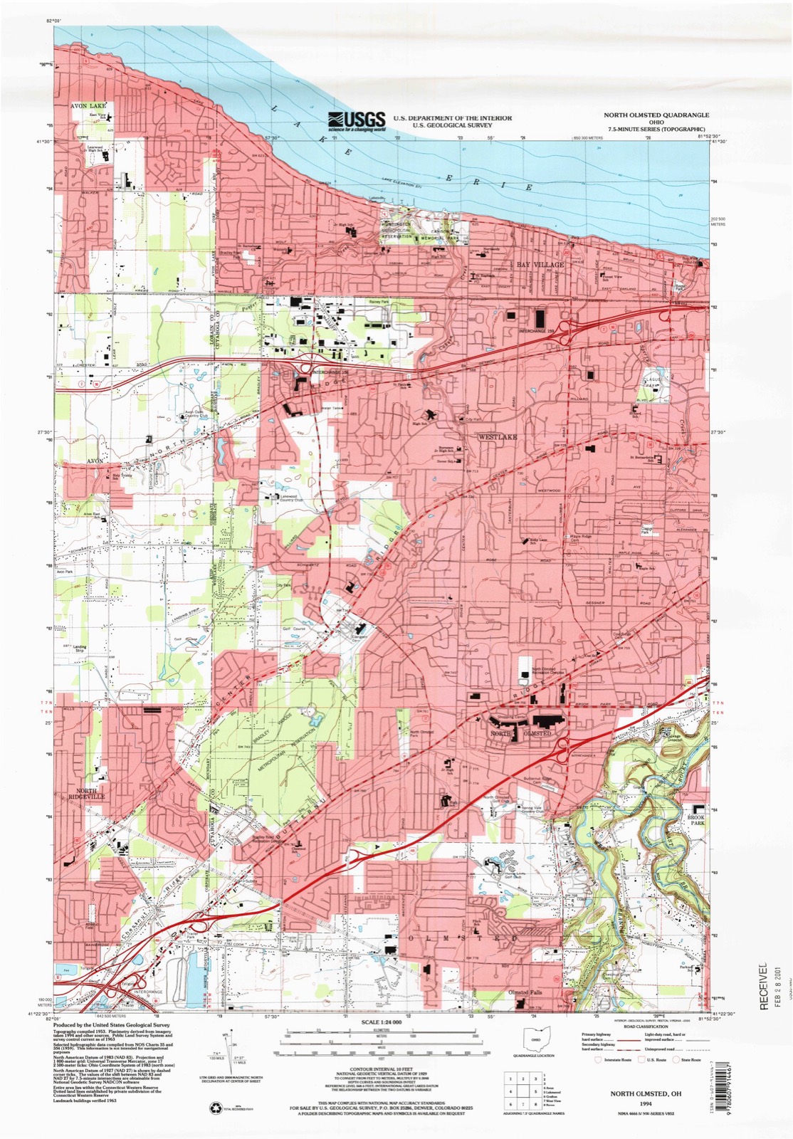
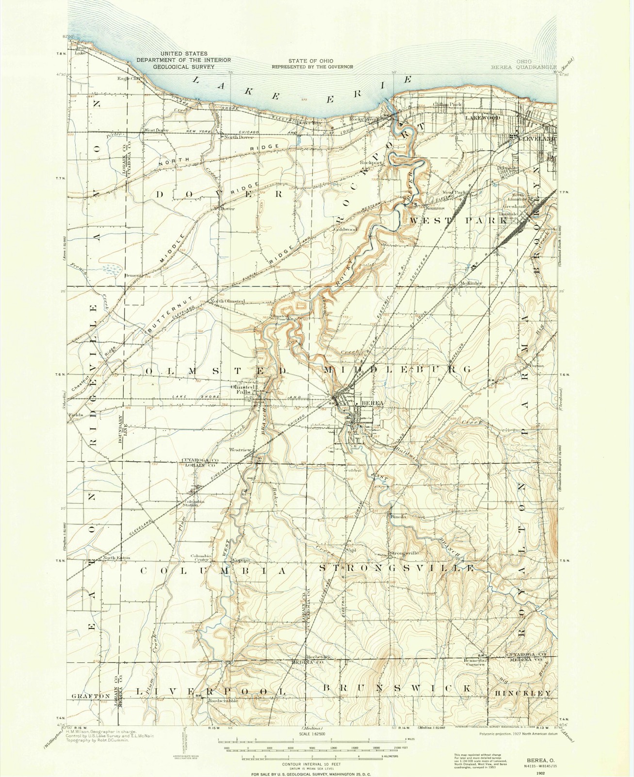
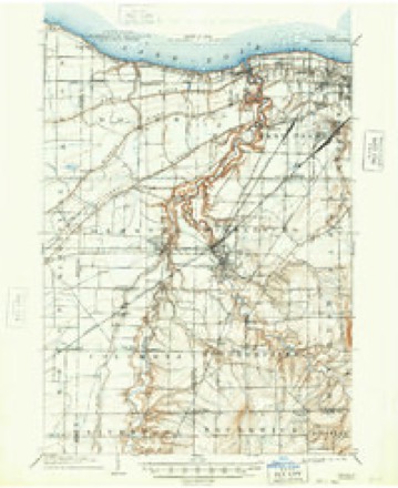
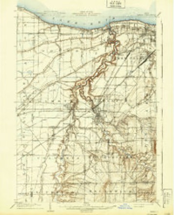
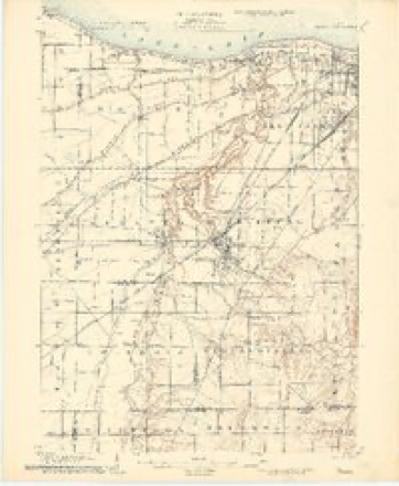
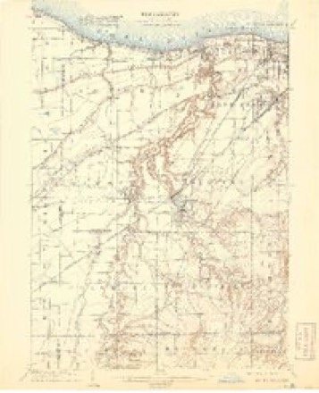
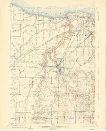
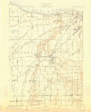
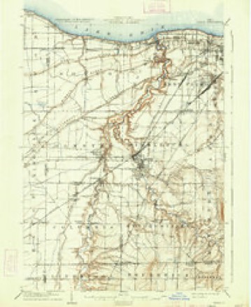
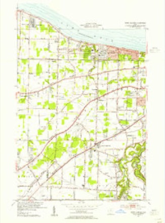
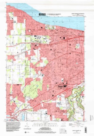
21 topographic sheets cover this place, the earliest surveyed in 1902 and the latest in 1994. It stands in Westlake City. It lies in ZIP code area 44145. The Survey maps it on the North Olmsted quadrangle. 34,228 people lived here at the 2020 count. It stands 709 feet above sea level.
Population over time
2 figuresWestlake grew from 32,729 to 34,228 between 2010 and 2020. These are the recorded population figures Wikidata holds for this place, reached through the Geographic Names Information System number this page is keyed on rather than by name, so they belong to this place and not to another of the same name. Most are census counts, but not all are: an early figure may be a founding or settlement estimate. The change column is computed, and is left blank where more than 20 years separate a figure from the one before it, because a gap that long is not a change between two counts.
| Year | People | Change |
|---|---|---|
| 2010 | 32,729 | |
| 2020 | 34,228 | +1,499 (+5%) |
Then and now
1902 to 1994The same ground, surveyed 92 years apart. Drag the handle to wipe between them. Both sheets are United States Geological Survey originals; neither has been altered.
Compare 1902 against another survey:
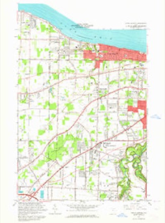
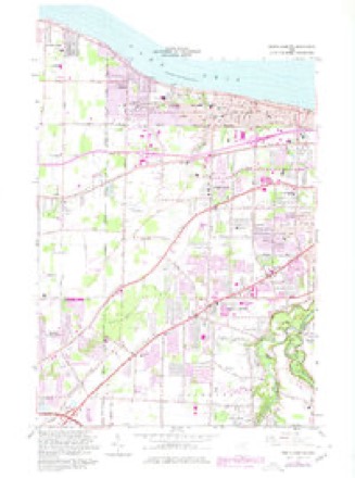
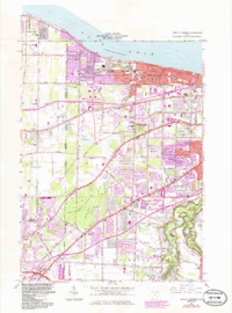
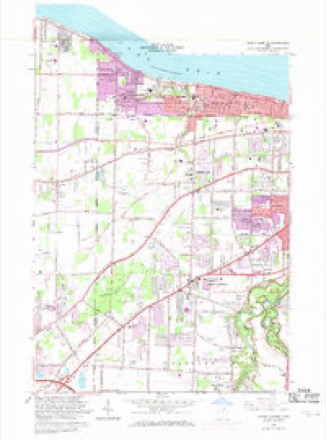
Topographic sheets covering this place
21 sheetsMatched by testing this settlement's coordinate against the published boundary of every sheet in the United States Geological Survey's historical collection. Each opens the scanned sheet at the Survey.
- 1902 USGS Berea quadrangle1:62500
- 1902 USGS Berea quadrangle1:62500
- 1904 USGS Berea quadrangle1:62500
- 1904 USGS Berea quadrangle1:62500
- 1904 USGS Berea quadrangle1:62500
- 1904 USGS Berea quadrangle1:62500
- 1904 USGS Berea quadrangle1:62500
- 1904 USGS Berea quadrangle1:62500
- 1904 USGS Berea quadrangle1:62500
- 1953 USGS North Olmsted quadrangle1:24000
- 1956 USGS Cleveland quadrangle1:250000
- 1956 USGS Cleveland quadrangle1:250000
- 1956 USGS Cleveland quadrangle1:250000
- 1962 USGS Cleveland quadrangle1:250000
- 1963 USGS North Olmsted quadrangle1:24000
- 1963 USGS North Olmsted quadrangle1:24000
- 1963 USGS North Olmsted quadrangle1:24000
- 1963 USGS North Olmsted quadrangle1:24000
- 1986 USGS Cleveland South quadrangle1:100000
- 1994 USGS Cleveland South quadrangle1:100000
- 1994 USGS North Olmsted quadrangle1:24000






Specimens collected nearby
12 of 1,003 shownMuseums hold 1,003 specimens collected within 10 miles of Westlake between 1849 and 1975: 913 Animalia, 57 Plantae, 28 Fungi, 4 Protozoa, 1 Unrecorded. 12 distinct Species records are shown. Collected by A. D. Huryn, A. G. Newhall, A. Hall and others. Each is a physical object with a catalogue number, and each entry opens the museum's record. This is what was collected and kept, not a survey of what lives here - nothing can be concluded from a species being absent.
| Image | Species | Year | Collected by | Where, as recorded |
|---|---|---|---|---|
 | Camptosorus rhizophyllus (L.) Link | 1895 | Ashcraft, G.B. | Berea |
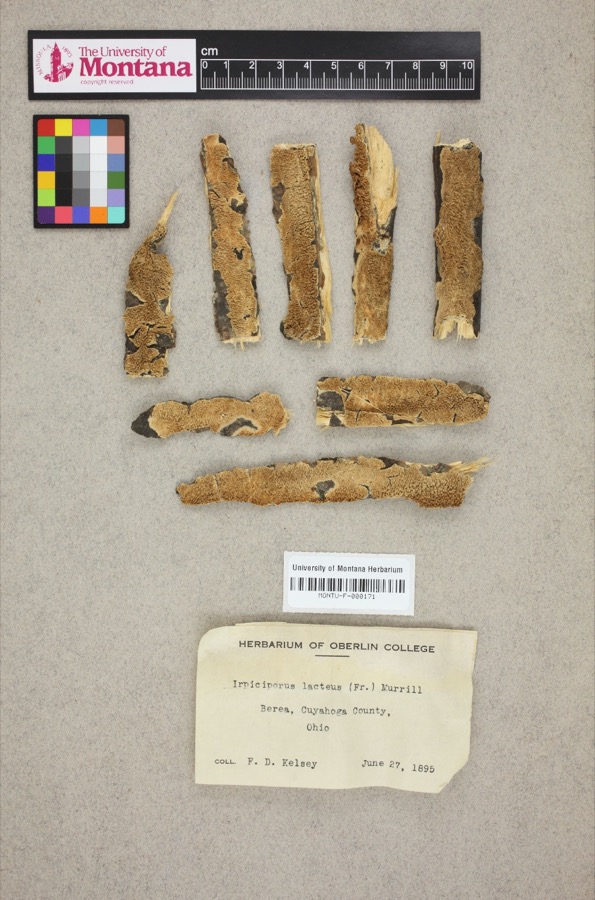 | Irpiciporus lacteus (Fr.) Murrill | 1895 | F. D. Kelsey | Berea. |
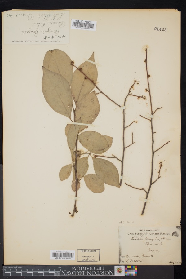 | Lindera benzoin (L.) Blume | 1895 | L.D. Stair | Berea |
 | Setophaga americana (Linnaeus, 1758) | 1849 | Jared P. Kirtland | Rockport |
 | Eremophila alpestris praticola (Henshaw, 1884) | 1877 | A. Hall | East Rockport |
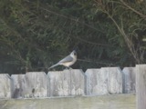 | Baeolophus bicolor (Linnaeus, 1766) | 1879 | Willard G. Van Name | East Rockport |
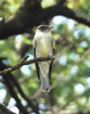 | Contopus virens (Linnaeus, 1766) | 1879 | A. Hull | East Rockport |
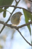 | Setophaga tigrina (J.F.Gmelin, 1789) | 1879 | A. Hall | East Rockport |
 | Astur Lacepède, 1799 | 1880 | A. Hall | East Rockport |
 | Caprimulgus vociferus vociferus A.Wilson, 1812 | 1880 | A. Hall | East Rockport |
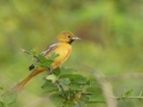 | Icterus spurius (Linnaeus, 1766) | 1880 | A. Hall | East Rockport |
| Calidris alpina (Linnaeus, 1758) | 1890 | Saunders, F.A. | LOCNM: Rondeau |
All 1,003 specimens within 10 miles, at the Global Biodiversity Information Facility.
Storms nearby
30 since 1997The National Weather Service names Westlake in 30 storm reports between 1997 and 2023: 19 thunderstorm wind, 8 hail, 3 flash flood. No death or injury is recorded in these reports. Each account below is quoted exactly as the forecast office filed it, from the NOAA Storm Events Database, and each date opens the federal record of that event.
| When | Event | Place named | Harm | What the report says |
|---|---|---|---|---|
| May 2014 | Flash Flood | Westlake | $13,000,000 | Between 800 and 1000 pm on the evening of May 12th rainfall observations in Olmsted Falls show 2.5-4.44 inches of rain. The rainfall rates were measured at 2.52 inches per hour. A dozen water rescues were conducted however no significant injuries were reported. In all nearly 1,000 homes were inundated in the towns of Olmsted Falls, North Olmsted, and Westlake. The City Hall in Olmsted Falls sustained significant flood damage to their basement. At the Great Northern Mall in North Olmsted 15 cars were submerged and a department store sustained significant damage. Dozens of roads and intersections were closed due to flooding with several feet of water. The major thruway Interstate 480 was closed around 1019 PM. Lewis Road in Olmsted Falls was damaged due to embankment failures. |
| July 2023 | Flash Flood | Westlake | $3,500,000 | Flash flooding across the western suburbs of Cleveland, including Bay Village, North Olmsted, Fairview Park, Rocky River and Lakewood. Notable road closures due to flooding include I-90 East near McKinley Avenue and West 117th Avenue between Berea Road and Detroit Avenue in Lakewood, West 130th Street and Bellaire Road and West 150th Street north of Brookpark Road in Cleveland. Great Northern Avenue north of Brookpark Road was flooded with several feet of standing water in North Olmsted. Extensive basement flooding reported, including between 1 to 2 dozen basements in Bay Village and 175 basements in Fairview Park. |
| June 2013 | Thunderstorm Wind | Westlake | $150,000 | A trained weather spotter estimated winds gusts of 60-70 MPH in Westlake with trees down on Bradley Road. The ASOS at Cleveland Hopkins Airport reported a 50 knot gust at the same time. Dispatch also reported six trees down in Berea with one tree down on a house on Buckeye Drive. First Energy reported 15000 customers lost power. |
| October 2018 | Thunderstorm Wind | Westlake | $50,000 | Several trees and power lines were blown down. A tree was blown down causing damage to a home near Lakewood. |
| July 2011 | Flash Flood | Westlake | $50,000 | Lake enhanced storms moved off Lake Erie dropping 2 to 3 inches within 90 minutes over Cuyahoga County. Radar estimated as much as 4 inches over a stretch from southern Westlake into Olmsted Falls and east into Berea. As a result drainage systems were overwhelmed and roads rapidly filled with over 3 feet of water. A water rescue was conducted in North Olmsted near the mall. |
| July 2003 | Thunderstorm Wind | Westlake | $25,000 | Thunderstorm winds downed three trees in Westlake and several more in Bay Village. |
| May 2016 | Thunderstorm Wind | Westlake | $15,000 | Thunderstorm winds downed several trees. |
| July 2010 | Thunderstorm Wind | Westlake | $15,000 | Thunderstorm winds downed a large tree which fell onto a house. |
| August 1997 | Thunderstorm Wind | Westlake | $5,000 | Numerous trees were downed. |
| June 2006 | Thunderstorm Wind | Westlake | $4,000 | One tree and a few large limbs were reported down. |
| November 2005 | Thunderstorm Wind | Westlake | $4,000 | One large tree and a large limb were reported down blocking a road. |
| June 2020 | Thunderstorm Wind | Westlake | $3,000 | Trained spotters, broadcast media, and social media all report trees down in the western suburbs of Cleveland, including Westlake, North Olmsted, and Rocky River. |
| May 2004 | Thunderstorm Wind | Westlake | $3,000 | Thunderstorm winds downed two trees. |
| June 2010 | Thunderstorm Wind | Westlake | $2,000 | Thunderstorm winds downed a few large tree limbs. |
| June 2009 | Thunderstorm Wind | Westlake | $2,000 | A tree and two large limbs were reported down. |
| August 2019 | Thunderstorm Wind | Westlake | $1,000 | A large tree was blown down on a fence and playground equipment. |
| May 2013 | Thunderstorm Wind | Westlake | $1,000 | Thunderstorm winds downed a large tree limb. |
| November 2011 | Thunderstorm Wind | Westlake | $1,000 | Thunderstorm winds downed a large tree limb. |
| July 2010 | Thunderstorm Wind | Westlake | $1,000 | Thunderstorm winds downed a large tree limb. |
| May 2009 | Thunderstorm Wind | Westlake | $1,000 | Thunderstorm winds downed a tree. |
| July 2023 | Hail | Westlake | - | Hail up to hen egg-size in Westlake. |
| June 2021 | Thunderstorm Wind | Westlake | - | Trees down in Westlake. A tree was snapped on Puritas Avenue about two miles ESE of Fairview Park. |
| November 2020 | Thunderstorm Wind | Westlake | - | Downed tree in Westlake. |
| July 2018 | Hail | Westlake | - | Penny sized hail was observed. |
| May 2011 | Hail | Westlake | - | Thunderstorms produced a swath of nickel to quarter size hail as they tracked across the county. Locations impacted by the hail included Westlake, Rocky River, and Lakewood. |
| June 2011 | Hail | Westlake | - | Thunderstorms produced nickel size hail across the area. |
| June 2009 | Hail | Westlake | - | Penny size hail was observed. |
| June 2006 | Hail | Westlake | - | Penny size hail was observed. |
| June 2006 | Hail | Westlake | - | Penny size hail was observed. |
| May 1998 | Hail | Westlake | - | no account filed |
Nearest settlements
The eight closest, with where each one stands in the county. Distances are straight-line, computed from the Geographic Names Information System coordinates.
| Map | Place | Distance | Sheets |
|---|---|---|---|
| Forest Park | 0.1 miles | 21 | |
| Berkeley | 0.2 miles | 21 | |
| Royal Forest | 0.5 miles | 21 | |
| Canterbury Manor | 0.5 miles | 21 | |
| Canterbury Colony | 0.5 miles | 21 | |
| West Ridge | 0.6 miles | 21 | |
| Capel Vale | 0.6 miles | 21 | |
| Hidden Acres | 0.6 miles | 21 |
Elsewhere
Matched on this settlement's Geographic Names Information System number rather than its name, so it cannot be a different place of the same name in another state.
| Wikipedia article on Westlake | An encyclopaedic summary. Its text is share-alike, so it is linked here rather than copied. |
| Wikidata item Q140006 | The structured record the population and elevation above come from. Public domain (CC0). |
Provenance
This settlement is recorded in the Geographic Names Information System as feature 1061762. The sheet list is computed by point-in-boundary test against the United States Geological Survey's historical topographic inventory. Both are works of the United States government and carry no copyright under 17 U.S.C. 105.
Specimens. Global Biodiversity Information Facility (GBIF), https://www.gbif.org/. Only records licensed CC0 or CC BY are used. Records licensed CC BY-NC are excluded because this site carries advertising. Images are checked individually and any whose licence is non-commercial, no-derivatives or unreadable is refused.
Storms. NOAA National Centers for Environmental Information, Storm Events Database https://www.ncei.noaa.gov/stormevents/ A work of the United States government, no copyright under 17 U.S.C. 105. Narratives are quoted verbatim from the National Weather Service report and are not edited or summarised.