 Block
Block
Wheelock, Ohio
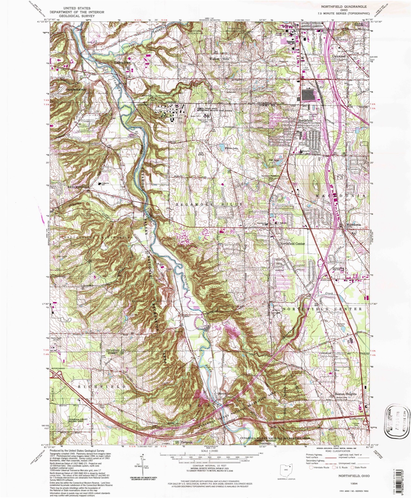
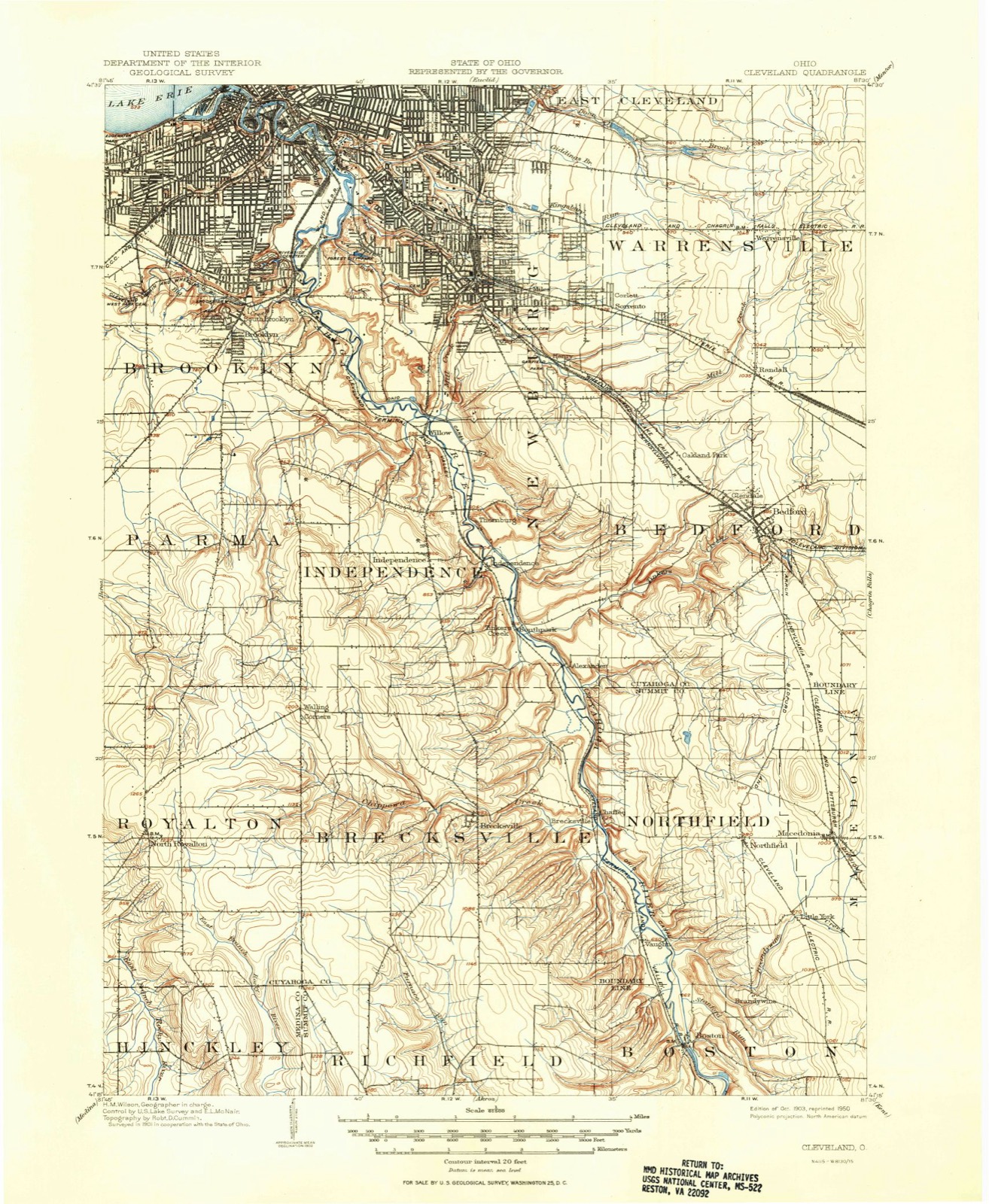
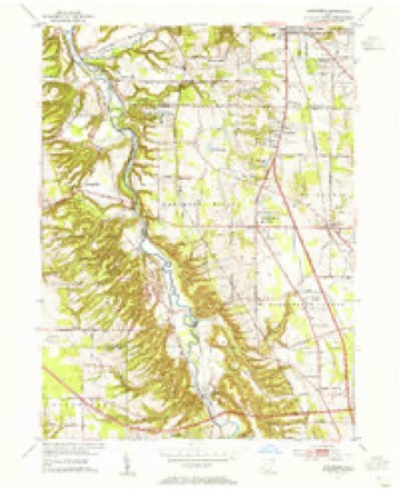
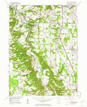
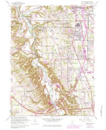
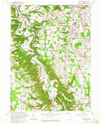
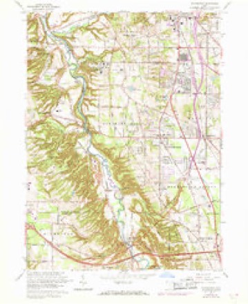
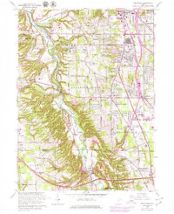
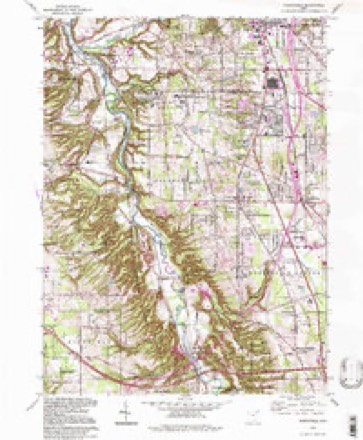
15 topographic sheets cover this place, the earliest surveyed in 1903 and the latest in 1994. It stands in Macedonia City. It lies in ZIP code area 44056. The Survey maps it on the Northfield quadrangle. The federal gazetteer marks this settlement historical: it is no longer a populated place, though the surveys that recorded it still are.
Then and now
1903 to 1994The same ground, surveyed 91 years apart. Drag the handle to wipe between them. Both sheets are United States Geological Survey originals; neither has been altered.
Compare 1903 against another survey:
Topographic sheets covering this place
15 sheetsMatched by testing this settlement's coordinate against the published boundary of every sheet in the United States Geological Survey's historical collection. Each opens the scanned sheet at the Survey.
- 1903 USGS Cleveland quadrangle1:62500
- 1903 USGS Cleveland quadrangle1:62500
- 1953 USGS Northfield quadrangle1:24000
- 1953 USGS Northfield quadrangle1:24000
- 1956 USGS Cleveland quadrangle1:250000
- 1956 USGS Cleveland quadrangle1:250000
- 1956 USGS Cleveland quadrangle1:250000
- 1962 USGS Cleveland quadrangle1:250000
- 1963 USGS Northfield quadrangle1:24000
- 1963 USGS Northfield quadrangle1:24000
- 1963 USGS Northfield quadrangle1:24000
- 1963 USGS Northfield quadrangle1:24000
- 1986 USGS Cleveland South quadrangle1:100000
- 1994 USGS Cleveland South quadrangle1:100000
- 1994 USGS Northfield quadrangle1:24000






Specimens collected nearby
12 of 600 shownMuseums hold 600 specimens collected within 10 miles of Wheelock (historical) between 1877 and 1972: 580 Animalia, 11 Plantae, 9 Fungi. 12 distinct Species records are shown. Collected by A. Hall, Adams J. M. R., Armbruster, D. C. (Daniel C.) and others. Each is a physical object with a catalogue number, and each entry opens the museum's record. This is what was collected and kept, not a survey of what lives here - nothing can be concluded from a species being absent.
| Image | Species | Year | Collected by | Where, as recorded |
|---|---|---|---|---|
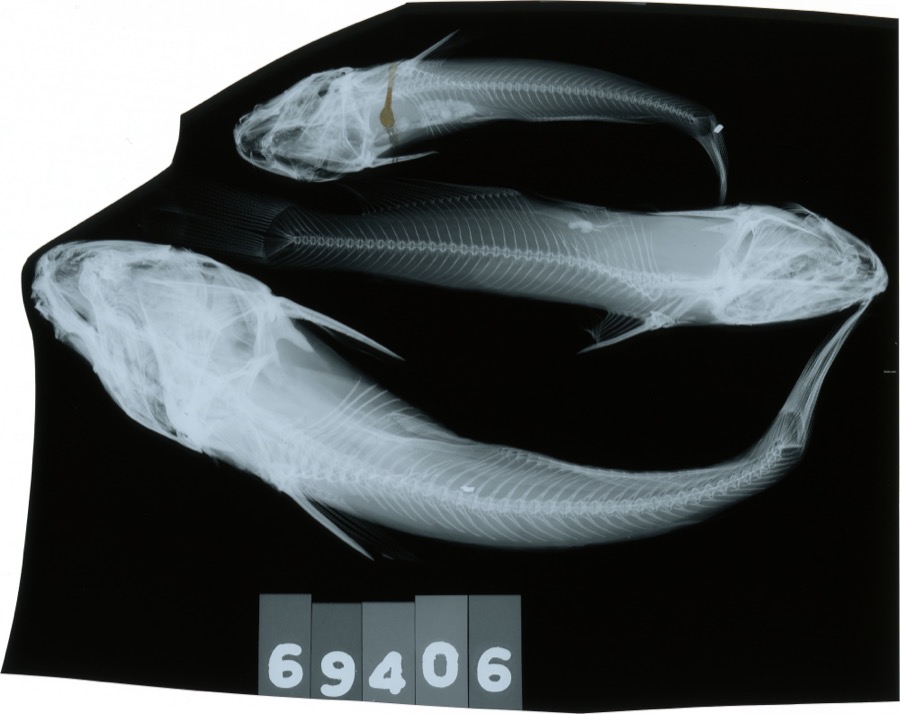 | Ameiurus melas (Rafinesque, 1820) | 1893 | C. Rutter | Cuyahoga River, Penisula, Ohio |
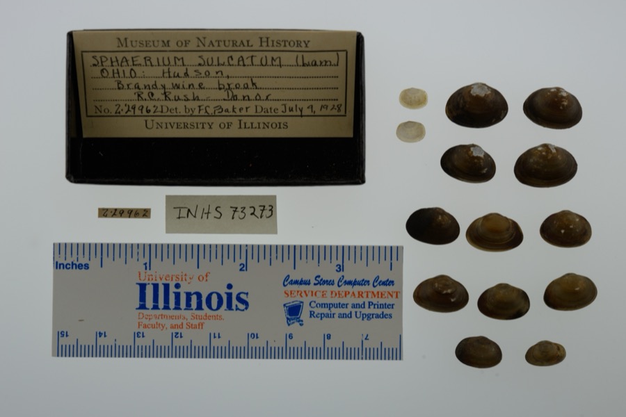 | Sphaerium simile (Say, 1817) | 1928 | not recorded | Brandywine Brook, Hudson, North America |
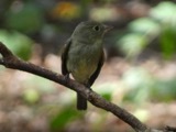 | Empidonax flaviventris (W.M.Baird & S.F.Baird, 1843) | 1877 | A. Hall | Cuyahoga |
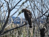 | Buteo lineatus lineatus (Gmelin, 1788) | 1887 | B. Sanford | Hudson |
 | Gymnosporangium juniperi-virginianae Schwein. | 1889 | Reade M. C. | Hudson |
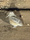 | Scolopax minor J.F.Gmelin, 1789 | 1892 | Beryl Hodge | Hudson |
 | Catostomus commersonii (Lacepède, 1803) | 1893 | not recorded | Peninsula, Ohio |
 | Etheostoma nigrum Rafinesque, 1820 | 1893 | Woolman | Cuyahoga River, Peninsula, Ohio |
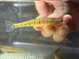 | Percina caprodes (Rafinesque, 1818) | 1893 | not recorded | Peninsula |
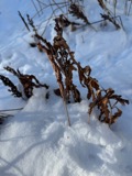 | Onoclea sensibilis L. | 1897 | Ashcroft, G.B. | Western Reserve; Berea |
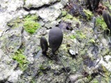 | Xylaria polymorpha (Pers.) Grev. | 1897 | Read M. | Hudson |
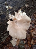 | Pleurotus ostreatus (Jacq.) P.Kumm. | 1898 | Read, M. C. | Hudson |
All 600 specimens within 10 miles, at the Global Biodiversity Information Facility.
Mines and quarries nearby
4 within 5 milesThe federal mineral resources record lists 4 workings within 5 miles of Wheelock (historical): 3 past producers, 1 producer. 1 still produces. What was taken out: Stone, Crushed/Broken. Distance is straight-line from the map coordinates, so a quarry counted here may appear on a neighbouring settlement's page as well.
| Where | Site | Commodity | Status | Recorded |
|---|---|---|---|---|
| Cannon Sand and Rock, Inc. Quarry | Stone, Crushed/Broken | Past Producer | Sedimentary | |
| Cannon Sand and Rock, Inc. Quarry | Stone, Crushed/Broken | Past Producer | ||
| Silica, Incorporated Quarry | Stone, Crushed/Broken | Past Producer | Sedimentary | |
| Twinsburg Quarry | Stone, Crushed/Broken | Producer |
Nearest settlements
The eight closest, with where each one stands in the county. Distances are straight-line, computed from the Geographic Names Information System coordinates.
| Map | Place | Distance | Sheets |
|---|---|---|---|
| Northfield | 0.6 miles | 15 | |
| Emmons Corner | 1.6 miles | 15 | |
| Macedonia | 2.2 miles | 15 | |
| Northfield Center | 2.4 miles | 15 | |
| Little York | 3.5 miles | 15 | |
| Sagamore Hills | 3.6 miles | 15 | |
| Chaffee (historical) | 3.9 miles | 15 | |
| Twinsburg Heights | 4.0 miles | 15 |
Provenance
This settlement is recorded in the Geographic Names Information System as feature 1067327. The sheet list is computed by point-in-boundary test against the United States Geological Survey's historical topographic inventory. Both are works of the United States government and carry no copyright under 17 U.S.C. 105.
Specimens. Global Biodiversity Information Facility (GBIF), https://www.gbif.org/. Only records licensed CC0 or CC BY are used. Records licensed CC BY-NC are excluded because this site carries advertising. Images are checked individually and any whose licence is non-commercial, no-derivatives or unreadable is refused.
Mines and quarries. USGS Mineral Resources Data System (MRDS) https://mrdata.usgs.gov/mrds/ A work of the United States government, no copyright under 17 U.S.C. 105.