 Block
Block
Windsor, Ohio
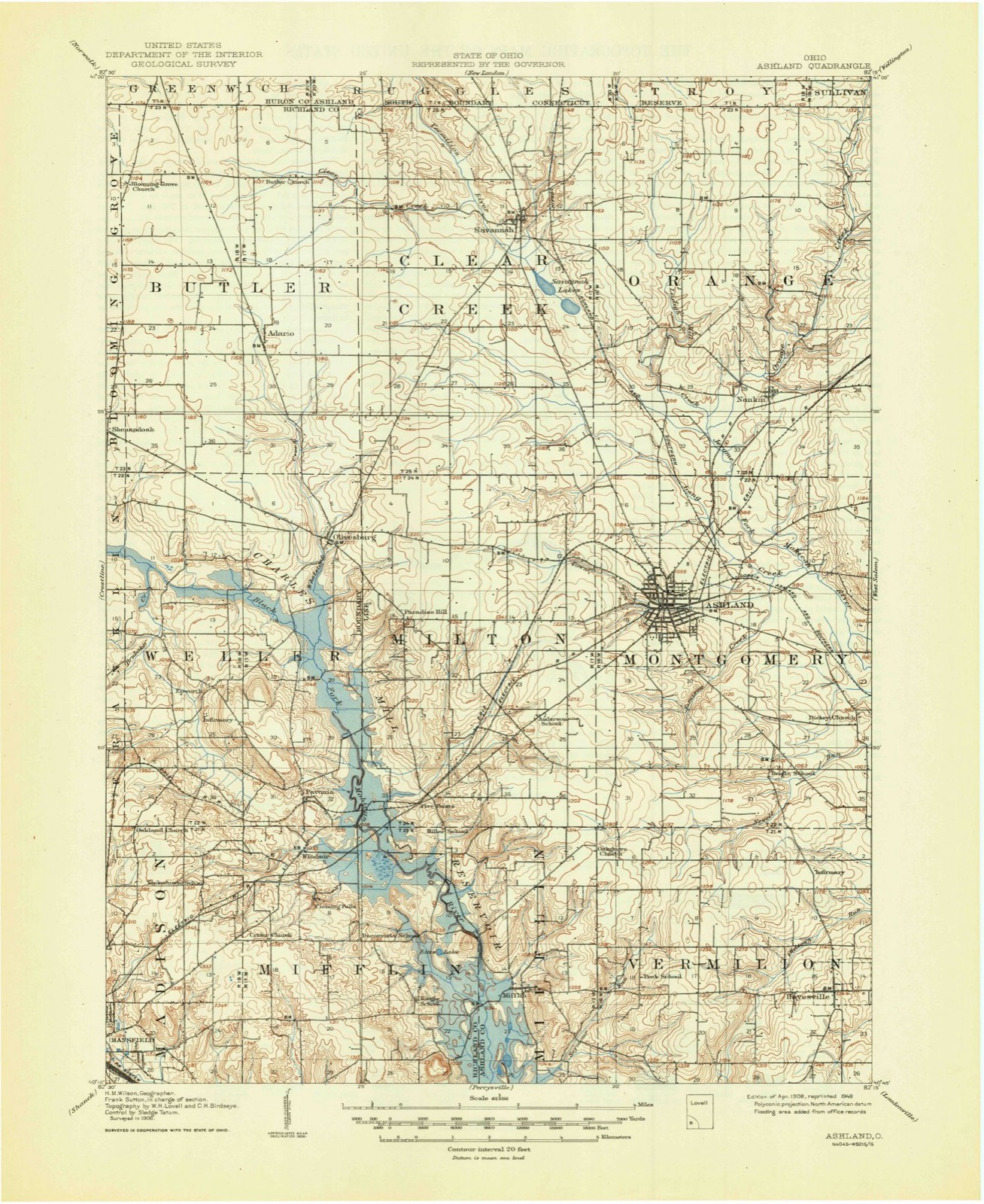
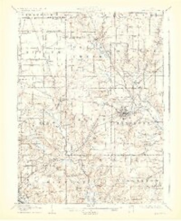
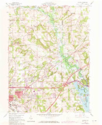
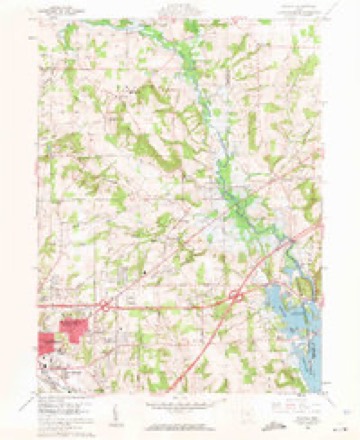
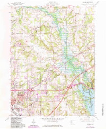
14 topographic sheets cover this place, the earliest surveyed in 1908 and the latest in 1994. It stands in Mifflin Township. It lies in ZIP code area 44905. The Survey maps it on the Pavonia quadrangle.
Then and now
1908 to 1994The same ground, surveyed 86 years apart. Drag the handle to wipe between them. Both sheets are United States Geological Survey originals; neither has been altered.

Topographic sheets covering this place
14 sheetsMatched by testing this settlement's coordinate against the published boundary of every sheet in the United States Geological Survey's historical collection. Each opens the scanned sheet at the Survey.
- 1908 USGS Ashland quadrangle1:62500
- 1908 USGS Ashland quadrangle1:62500
- 1908 USGS Ashland quadrangle1:62500
- 1908 USGS Ashland quadrangle1:62500
- 1950 USGS Marion quadrangle1:250000
- 1960 USGS Pavonia quadrangle1:24000
- 1960 USGS Pavonia quadrangle1:24000
- 1960 USGS Pavonia quadrangle1:24000
- 1962 USGS Marion quadrangle1:250000
- 1966 USGS Marion quadrangle1:250000
- 1966 USGS Marion quadrangle1:250000
- 1966 USGS Marion quadrangle1:250000
- 1986 USGS Mansfield quadrangle1:100000
- 1994 USGS Mansfield quadrangle1:100000







In the county-history sources
10,237 words on this townshipHistory of Richland County, Ohio : (including the Original Boundaries) ; Its Past and Present, Containing a Condensed Comprehensive History of Ohio, Including an Outline History of the Northwest, a Complete History of Richland County ... Miscellaneous Matter, Map of the County, Biographies and Histories of ... the Most Prominent Families, &c., &c., published 1880 names this settlement in its chapter on Mifflin Township. These are the passages that mention it, exactly as the scans read.
From the time of the first settlement to the present, the farmers have plowed up great numbers of Indian relics - flint arrow-points, stone axes, stone wedges and many other varieties of stone implements. Hundreds of these are now in possession of the people, but too often they are passed by and plowed under again without a thought of their value. On the farm of Benjamin Staman (the same upon which Martin Ruflfnor, who was killed by the Indians, built his cabin) is an old Indian burA'ing-ground. It is about one-fourth of a mile west of Staman's Mill. A number of graves were found and, being quite shallow, were readily exposed. The most sti'iking peculiarit}- about them is the fact that the bodies were buried in a sort of stone coflfln. After digging the gi'ave, it appears the bottom was covered with small bowlders, the body placed upon them and a sort of wall of the same materials placed around it. Over it were placed flat stones, thus forming a stone coffin, upon which the dirt was thrown. Many of these skeletons were in a good state of preservation when discovered. It is also stated that near the cemetery have been found many trinkets, used as ornaments for the nose and ears. Mr. Staman has a small collection of relics, gathered from different parts of his farm ; among others, a musket barrel, partly rusted away, which was found about eighteen inches underground, near the bank of the Black Fork. One of Johnny Appleseed's nurseries was located on this same farm, about half a mile from Petersburg.
In the same 3'ear, several white men came up as far as Greentown, where about one hundred Indians were living in comfortable cabins, under an old chief named Armstrong. Among them were Samuel Lewis, Henry McCart, Mr. ShaeflTer and Andrew Craig. The latter was in this vicinity before James Copus, but so far as is known, did not settle within the limits of Miiflin. These men and others were hunting homes in the wilderness, and maj^ have squatted for a short time, and some permanently, in the township about the same time with Mr. Copus. The nextA-ear (1810), Archibald Gardner, Samuel Hill, David Hill and some others came. It is not certainly known whether they came in the fall of 1809, or the spring of 1810, more likely the latter. It is a question whether Samuel Hill or Archibald Gardner was the first settler in Mifflin on the Richland County side of the line, but the preponderance of evidence seems to be in favor of the former. Samuel Hill settled on the northeast quarter of Section 33, now occupied by Solomon Balliett. If he settled there when he first came - and there is no evidence he did not - he was the first, or among the first settlers in Mifflin in Richland County. Where Archibald Gardner was during the j-ear 1810 has not been ascertained, but in the following year, he traveled up the Black Fork, and built his cabin three-fourths of a mile north of the present village of Windsor, on the northwest quarter of Section 5. He was the first settler in this part of the township. It has been before stated that Gardner built his cabin on the site of the village, but Dr. William Bushnell, who is good authority on matters of that kind, places it as stated above. Frederick Zimmer, Sr., Frederick Zimmer, Jr., Phillip Zimmer and John Lambright also came in 1810, settling in the neighborhood of Mr. Copus. Following these in 1812, were Martin EuflTiier, Michael Kuffner and Richard Hughes, who settled in the same neighborhood, on the east side of Black Fork. The same 3^ear, Samuel Lewis and Christian Hoover settled on Section 8, and John Peterson who came from Coshocton County, Ohio, settled on the east side of Black Fork. He was originall}' from New Jersey. The larger part of these early pioneers were from Western Pennsylvania. As the Indians now became hostile on account of the breaking-out of the war between the United States and Great Britain, the tide of immigration was checked, and few if any, further settlements were made between the years 1812 and 1815. At the latter date, however, the tide rolled westward again with such volume and power that it swept over the State. The well-remembered Robert Bently came in that year and settled on Section 9 ; Francis Andrews, on Section 3 ; Leonard Croninger, Section 2 ; William Gardner, Section 27: William Mathews, Section 16 ; Hugh Hale, Section 7 ; Robert Andrews, Section 5 ; David Ritt, Section 6 ; also about this time, James McDermott, Samuel Simpson, David Newell, John Bell and Thomas Wilson. In 1816, George Rummell, John Vantilburg and John Pettet settled on Section 8 ; and no doubt many others whose names cannot now be ascertained. The hardy pioneers, after fighting their way to and through the wilderness, subduing its ragged and rugged places, molding them into beautiful homes ; found themselves, when ready to live, at the end of life.
Few are now living. Mrs. Sarah Vail, who was little Sally Copus when her father was murdered by the Indians,-is yet among the living. Mr. Daniel Hoover died last winter, a little over eighty-four years old, after a life full of history, much of which had faded from his memory. He was born in Rockingham County, Ya., in 1796. His children are Joseph, John, Mar^-, Harry, Aaron, Christian, Alfred, Elizabeth and Daniel. He often told of meeting a bear one day, when he was hunting his pigs, which he thought was almost as large as a cow. Being unarmed, he did not seek a close acquaintance. At another time, when passing through the woods, he came suddenly upon a bear, which his dog attacked. Mr. Hoover, fearing his dog would get worsted in the fight, seized a club and went to his assistance. He succeeded in grasping one of the hind legs of bruin, and, being a powerful man. placed it across his knee and broke it. The struggle was long and desperate, but Mr. Hoover and his dog triumphed in the end. At anotl^er time, being out coon-hunting, his dogs treed something he supposed was a coon ; but on climbing the tree, Mr. Hoover found himself face to face with a huge black bear, which came toward him with savage growls. He concluded that was not the coon he was hunting, and came down much more rapidly than he went up. Hundreds of similar stories linger in the memor}' of the old settlers, and are handed down to their children. Thej^ show the condition of the countr}' in early times.
Machine-read from a century-old scan, so expect the errors a machine makes: misspelled names, dropped words, stray characters.
Read the whole chapter on Mifflin Township - it names this place 4 more 4 times.
Fires near this place
1 since 2003Regional context, not property-specific evidence. The federal wildfire occurrence database lists 1 fire within 5 miles of Windsor between 2003 and 2003, burning about 2 acres in total. None started naturally. None was recorded as arson. Distance is straight-line from the map coordinates, so a fire counted here may appear on a neighbouring settlement's page as well.
| Reported cause | Fires |
|---|---|
| Debris and open burning | 1 |
The most recent of them, most recent first, with the day each was reported and the service that recorded it.
| Date | Cause | Size | Reported by | Name on the report |
|---|---|---|---|---|
| 3 April 2003 | Debris and open burning | 1.5 acres | Ohio Department of Natural Resources | not named |
Settlements close enough to share some of these fires:
Specimens collected near this place
12 of 677 shownRegional context, not property-specific evidence. Museums hold 677 specimens collected within 10 miles of Windsor between 1835 and 1975: 488 Plantae, 181 Animalia, 8 Fungi. 12 distinct Species records are shown. Collected by Berra, T. (Tim), C F WALKER, Chase, H. (Hazel) and others. Each is a physical object with a catalogue number, and each entry opens the museum's record. This is what was collected and kept, not a survey of what lives here - nothing can be concluded from a species being absent.
| Image | Species | Year | Collected by | Where, as recorded |
|---|---|---|---|---|
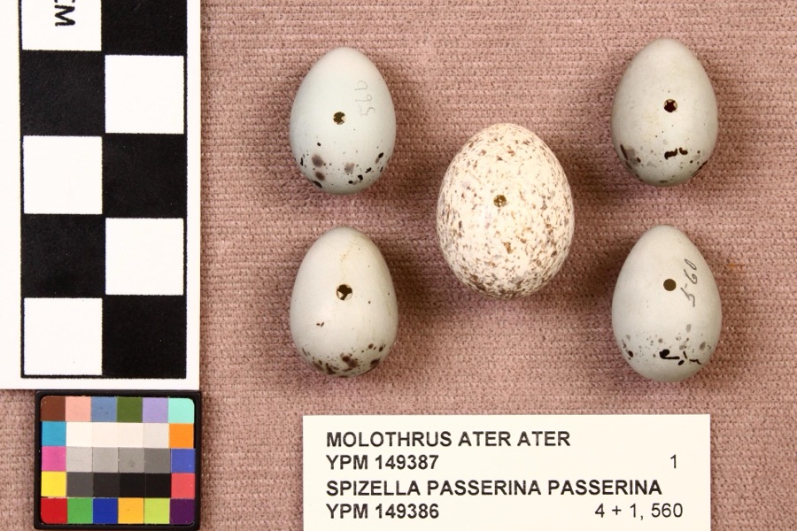 | Molothrus ater ater (Boddaert, 1783) | 1892 | not recorded | Mansfield |
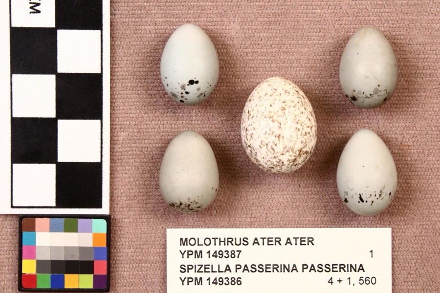 | Spizella passerina passerina (Bechstein, 1798) | 1892 | not recorded | Mansfield |
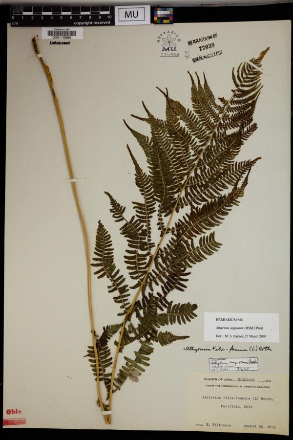 | Athyrium angustum (Willd.) C.Presl | 1895 | Wilkinson, E. | Mansfield. |
 | Alisma subcordatum Raf. | 1835 | Wilkinson, E. | Mansfield |
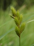 | Carex scoparia Schkuhr ex Willd. | 1835 | Wilkinson, E. | Mansfield |
 | Carex stricta Lam. | 1835 | Herb. of E. Wilkinson | Mansfield |
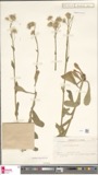 | Erigeron bellidifolius Muhl. ex Willd. | 1835 | Wilkinson,E. 5229 | [USA, Ohio] Mansfield, Ohio. |
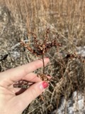 | Penthorum sedoides L. | 1835 | E. Wilkinson | Mansfield |
 | Verbascum thapsus L. | 1835 | Wilkinson, E. | Mansfield |
 | Achillea millefolium L. | 1836 | Wilkinson, E. | Mansfield |
 | Angelica atropurpurea L. | 1836 | Wilkinson, E. | Mansfield |
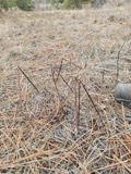 | Apocynum androsaemifolium L. | 1836 | Wilkinson, E. | Mansfield |
All 677 specimens within 10 miles, at the Global Biodiversity Information Facility.
Mines and quarries near this place
4 within 5 milesRegional context, not property-specific evidence. The federal mineral resources record lists 4 workings within 5 miles of Windsor: 3 past producers, 1 producer. 1 still produces. What was taken out: Clay, Clay, Stone, Crushed/Broken. Distance is straight-line from the map coordinates, so a quarry counted here may appear on a neighbouring settlement's page as well.
| Where | Site | Commodity | Status | Recorded |
|---|---|---|---|---|
| Richland Pit | Clay, Stone, Crushed/Broken | Producer | ||
| Ohio Pit | Clay | Past Producer | Sedimentary | |
| Ohio Pit | Clay | Past Producer | ||
| Richland Pit | Clay | Past Producer | Sedimentary |
Storms near this place
2 since 2015Regional context, not property-specific evidence. The National Weather Service names Windsor in 2 storm reports between 2015 and 2020: 2 thunderstorm wind. No death or injury is recorded in these reports. Each account below is quoted exactly as the forecast office filed it, from the NOAA Storm Events Database, and each date opens the federal record of that event.
| When | Event | Place named | Harm | What the report says |
|---|---|---|---|---|
| June 2020 | Thunderstorm Wind | Windsor | $15,000 | A trained spotter reported several semi trucks flipped over at Interstate 71 and US Route 30. Also, a 4 ft diameter tree was downed nearby at the Richland/Ashland County line at the intersection US Route 30 and Ohio State Route 603. |
| June 2015 | Thunderstorm Wind | Windsor | $12,000 | Thunderstorm winds brought down numerous trees in Richland County. |
Nearest settlements
The eight closest, with where each one stands in the county. Distances are straight-line, computed from the Geographic Names Information System coordinates.
| Map | Place | Distance | Sheets |
|---|---|---|---|
| Fleming Falls | 0.7 miles | 14 | |
| Pavonia | 1.0 miles | 14 | |
| Wooster Heights | 3.2 miles | 14 | |
| Epworth | 3.2 miles | 14 | |
| Sites Lake Cottage Area | 3.2 miles | 14 | |
| Colonial Hills | 3.3 miles | 14 | |
| Lincoln Heights | 3.6 miles | 14 | |
| Spring Grove (historical) | 4.4 miles | 14 |
Provenance
This settlement is recorded in the Geographic Names Information System as feature 1049335. The sheet list is computed by point-in-boundary test against the United States Geological Survey's historical topographic inventory. Both are works of the United States government and carry no copyright under 17 U.S.C. 105.
Wildfire. Short, Karen C. 2022. Spatial wildfire occurrence data for the United States, 1992-2020 [FPA_FOD_20221014]. 6th Edition. Fort Collins, CO: Forest Service Research Data Archive. https://doi.org/10.2737/RDS-2013-0009.6 Collected with United States Government funding and usable without additional permissions or fees.
Specimens. Global Biodiversity Information Facility (GBIF), https://www.gbif.org/. Only records licensed CC0 or CC BY are used. Records licensed CC BY-NC are excluded because this site carries advertising. Images are checked individually and any whose licence is non-commercial, no-derivatives or unreadable is refused.
Mines and quarries. USGS Mineral Resources Data System (MRDS) https://mrdata.usgs.gov/mrds/ A work of the United States government, no copyright under 17 U.S.C. 105.
Storms. NOAA National Centers for Environmental Information, Storm Events Database https://www.ncei.noaa.gov/stormevents/ A work of the United States government, no copyright under 17 U.S.C. 105. Narratives are quoted verbatim from the National Weather Service report and are not edited or summarised.