 Block
Block
Woodsdale, Ohio
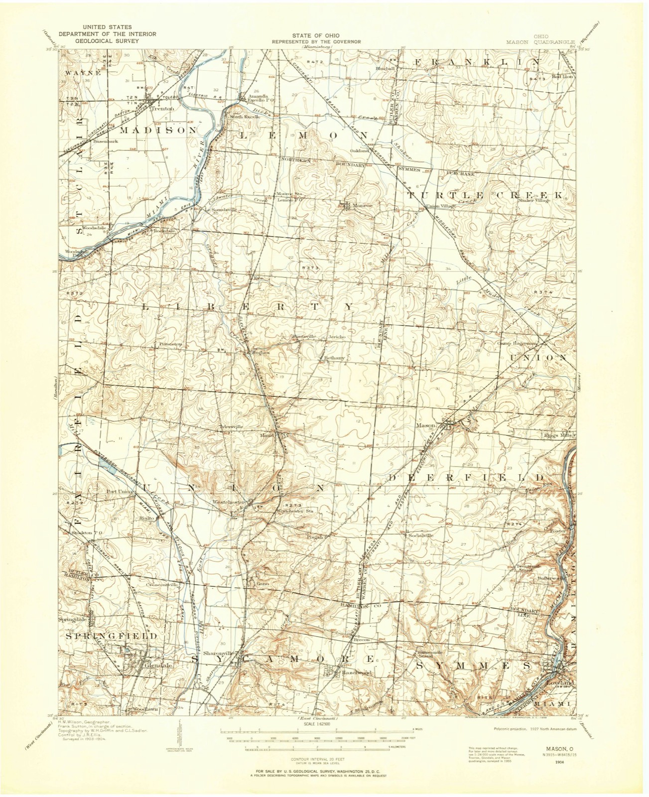
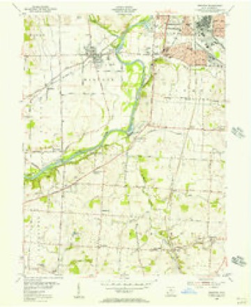
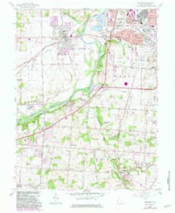
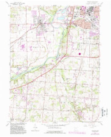
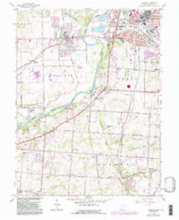
16 topographic sheets cover this place, the earliest surveyed in 1904 and the latest in 1986. It stands in Madison Township. It lies in ZIP code area 45067. The Survey maps it on the Trenton quadrangle.
Then and now
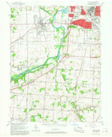
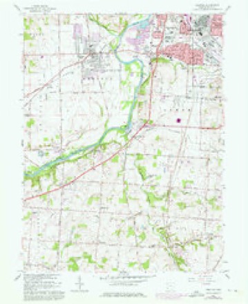
1904 to 1986The same ground, surveyed 82 years apart. Drag the handle to wipe between them. Both sheets are United States Geological Survey originals; neither has been altered.

Topographic sheets covering this place
16 sheetsMatched by testing this settlement's coordinate against the published boundary of every sheet in the United States Geological Survey's historical collection. Each opens the scanned sheet at the Survey.
- 1904 USGS Mason quadrangle1:62500
- 1906 USGS Mason quadrangle1:62500
- 1906 USGS Mason quadrangle1:62500
- 1953 USGS Cincinnati quadrangle1:250000
- 1953 USGS Cincinnati quadrangle1:250000
- 1953 USGS Cincinnati quadrangle1:250000
- 1955 USGS Trenton quadrangle1:24000
- 1957 USGS Cincinnati quadrangle1:250000
- 1966 USGS Trenton quadrangle1:24000
- 1966 USGS Trenton quadrangle1:24000
- 1966 USGS Trenton quadrangle1:24000
- 1966 USGS Trenton quadrangle1:24000
- 1966 USGS Trenton quadrangle1:24000
- 1986 USGS Cincinnati quadrangle1:100000
- 1986 USGS Cincinnati quadrangle1:100000
- 1986 USGS Cincinnati quadrangle1:100000







In the county-history sources
11,332 words on this townshipA History and Biographical Cyclopædia of Butler County, Ohio : with Illustrations and Sketches of Its Representative Men and Pioneers, published 1882 names this settlement in its chapter on Madison Township. These are the passages that mention it, exactly as the scans read.
Mapison Townsuip was originally a portion of Lemon. It lies on the north border of the county, and is divided from Lemon by the Miami River, which flows from north-east to south-west, and separates the two townships in such a way that the lower part of Madison is very narrow. Nearly the whole distance north of Trenton the hills border on the river; but below the bottom spreads out, and forms a wide alluvial plain. At Middletown the river divides in two parts, the old and the new, the latter increasing in volume year by year, and the former lessening. The bridge across the river here is precarious, and liable to be washed away by the flood at any time. A couple of miles west of the river the hills rise to a great height, and afford beautiful views.
Passage source: A History and Biographical Cyclopædia of Butler County, Ohio : with Illustrations and Sketches of Its Representative Men and Pioneers, published 1882.
This is situated directly opposite Middletown, and is a suburb of that place. The Madison House was built in the year 1846 by John Mumma. It is two and a half stories high, and seventy-two feet by twenty-one and a half feet, and belongs to A. Crider, grocery and provision dealer. Kenaday and the heirs of W. C. Ward. The building contains thirty rooms above ground, and in the cellar eleven, making a total of thirty-eight rooms. Reed & Company occupies the north room as a grocery. There is a tavern kept in the house by Albert Beckford. Wil- WG Ward is a wagon-maker, and does repairing. Samuel McFall has an extensive circular saw-mill in the place, and there are two blacksmith shops, one by McFall and one by Eckelbarge. J. M. Gardner is a custom boot and shoe maker. In the fall of 1877 the Cincinnati, Hamilton and Dayton Railroad Company erected a large elevator for Curtis & Hartley in Madison City, as there is an extensive grain trade at that place. Madison City has forty family residences, and enumerates one hundred and fifty pupils of school age. The post-office is known as Heno.
Passage source: A History and Biographical Cyclopædia of Butler County, Ohio : with Illustrations and Sketches of Its Representative Men and Pioneers, published 1882.
Machine-read from a century-old scan, so expect the errors a machine makes: misspelled names, dropped words, stray characters.
Specimens collected near this place
12 of 456 shownRegional context, not property-specific evidence. Museums hold 456 specimens collected within 10 miles of Woodsdale between 1835 and 1975: 391 Animalia, 41 Plantae, 23 Fungi, 1 Unrecorded. 12 distinct Species records are shown. Collected by A. C. Billups, A.R. Gaufin, H.H. Ross, Arden R. Gaufin and others. Each is a physical object with a catalogue number, and each entry opens the museum's record. This is what was collected and kept, not a survey of what lives here - nothing can be concluded from a species being absent.
| Image | Species | Year | Collected by | Where, as recorded |
|---|---|---|---|---|
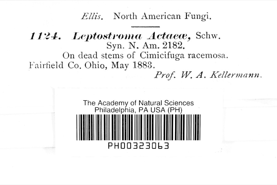 | Leptostromataceae | 1883 | Prof. W. A. Kellerman | |
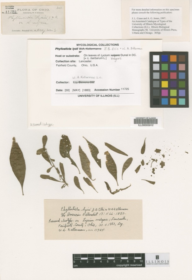 | Phyllosticta Pers., 1818 | 1883 | W. A. Kellerman | Lancaster. |
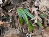 | Carex careyana Torr. ex Dewey | 1835 | Collector unknown | In ditione "Miami" civitatis Ohio. |
| Carex convoluta Mack. | 1835 | Collector unspecified | "Miami" | |
 | Carex gracillima Schwein. | 1835 | B. Frank | In ditione "Miami" civitatis Ohio. |
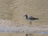 | Calidris melanotos (Vieillot, 1819) | 1879 | W. Douglass | Jones Station |
 | Coluber constrictor Linnaeus, 1758 | 1879 | not recorded | Hughes |
 | Diadophis punctatus arnyi Kennicott, 1859 | 1879 | not recorded | Hughes |
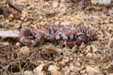 | Lampropeltis triangulum (Lacépède, 1789) | 1879 | not recorded | Hughes |
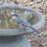 | Mimus polyglottos (Linnaeus, 1758) | 1879 | Porter collection, J.B. | LOCNM: Jones |
 | Spiza americana (J.F.Gmelin, 1789) | 1879 | Porter, J.B. | |
 | Storeria dekayi (Holbrook, 1839) | 1879 | not recorded | Hughes |
All 456 specimens within 10 miles, at the Global Biodiversity Information Facility.
Mines and quarries near this place
8 within 5 milesRegional context, not property-specific evidence. The federal mineral resources record lists 8 workings within 5 miles of Woodsdale: 4 past producers, 4 producers. 4 still produce. What was taken out: Sand and Gravel, Construction. Distance is straight-line from the map coordinates, so a quarry counted here may appear on a neighbouring settlement's page as well.
| Where | Site | Commodity | Status | Recorded |
|---|---|---|---|---|
| Aggregate Services Pit | Sand and Gravel, Construction | Producer | ||
| Fairfield Pit | Sand and Gravel, Construction | Past Producer | ||
| Hamilton Plant #710 | Sand and Gravel, Construction | Producer | ||
| Mecco Inc. | Sand and Gravel, Construction | Producer | ||
| Mecco, Incorporated Plt | Sand and Gravel, Construction | Past Producer | Sedimentary | |
| Middletown Pit | Sand and Gravel, Construction | Producer | ||
| New Miami Pit | Sand and Gravel, Construction | Past Producer | Sedimentary | |
| New Miami Pit | Sand and Gravel, Construction | Past Producer |
Storms near this place
7 since 2008Regional context, not property-specific evidence. The National Weather Service names Woodsdale in 7 storm reports between 2008 and 2022: 5 thunderstorm wind, 2 flash flood. No death or injury is recorded in these reports. Each account below is quoted exactly as the forecast office filed it, from the NOAA Storm Events Database, and each date opens the federal record of that event.
| When | Event | Place named | Harm | What the report says |
|---|---|---|---|---|
| July 2020 | Thunderstorm Wind | Woodsdale | $25,000 | A large tree fell onto a mobile home. Supporting pillars from a house were also blown down. |
| July 2020 | Thunderstorm Wind | Woodsdale | $5,000 | Several houses had shingles and siding blown off. |
| June 2008 | Flash Flood | Woodsdale | $5,000 | Several residents were evacuated along Canal Street in New Miami due to high water. Numerous roads in the vicinity were also flooded. |
| July 2020 | Thunderstorm Wind | Woodsdale | $1,000 | A large limb fell onto a house, damaging the front porch. |
| August 2016 | Thunderstorm Wind | Woodsdale | $1,000 | A tree was knocked down near Summerville Lane. |
| June 2022 | Thunderstorm Wind | Woodsdale | - | The gust was measured at mesonet station EW6002 in Hamilton. |
| July 2017 | Flash Flood | Woodsdale | - | Greenlawn Road was closed near the intersection of State Route 4 due to high water. |
Nearest settlements
The eight closest, with where each one stands in the county. Distances are straight-line, computed from the Geographic Names Information System coordinates.
| Map | Place | Distance | Sheets |
|---|---|---|---|
| Woodsdale Park | 0.8 miles | 16 | |
| Rockdale | 1.1 miles | 16 | |
| Country Club Highlands | 1.3 miles | 16 | |
| Country View Estates | 1.5 miles | 16 | |
| Greenlawn | 1.8 miles | 16 | |
| Busenbark | 2.2 miles | 16 | |
| Snow Hill | 2.3 miles | 16 | |
| Overpeck | 2.3 miles | 15 |
Provenance
This settlement is recorded in the Geographic Names Information System as feature 1048114. The sheet list is computed by point-in-boundary test against the United States Geological Survey's historical topographic inventory. Both are works of the United States government and carry no copyright under 17 U.S.C. 105.
Specimens. Global Biodiversity Information Facility (GBIF), https://www.gbif.org/. Only records licensed CC0 or CC BY are used. Records licensed CC BY-NC are excluded because this site carries advertising. Images are checked individually and any whose licence is non-commercial, no-derivatives or unreadable is refused.
Mines and quarries. USGS Mineral Resources Data System (MRDS) https://mrdata.usgs.gov/mrds/ A work of the United States government, no copyright under 17 U.S.C. 105.
Storms. NOAA National Centers for Environmental Information, Storm Events Database https://www.ncei.noaa.gov/stormevents/ A work of the United States government, no copyright under 17 U.S.C. 105. Narratives are quoted verbatim from the National Weather Service report and are not edited or summarised.