 Block
Zeno, Ohio
14 topographic sheets cover this place, the earliest surveyed in 1911 and the latest in 1994. It stands in Meigs Township. It lies in ZIP code area 43727. It lies near Sleepy Hollow. The Survey maps it on the Cumberland quadrangle.
Then and now
1911 to 1994The same ground, surveyed 83 years apart. Drag the handle to wipe between them. Both sheets are United States Geological Survey originals; neither has been altered.
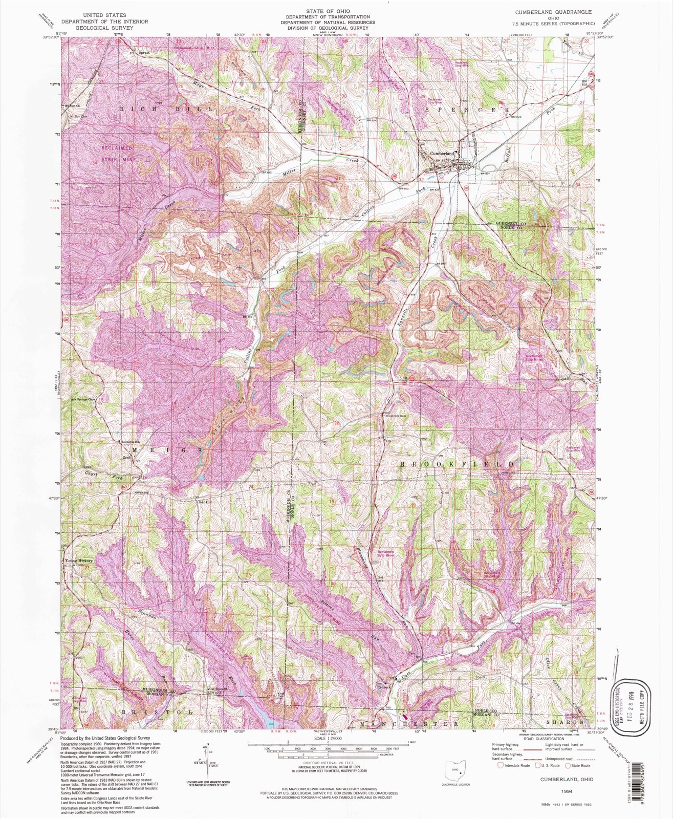
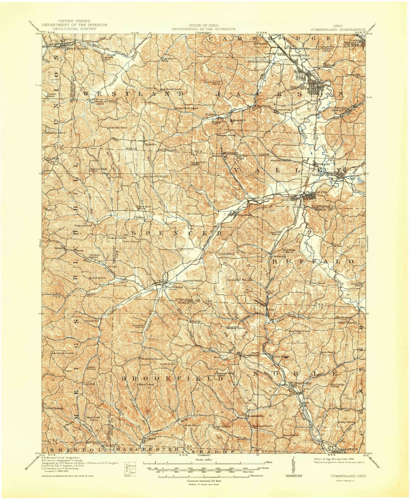
Topographic sheets covering this place
9 surveys from 14 printed sheetsMatched by testing this settlement's coordinate against the published boundary of every sheet in the United States Geological Survey's historical collection. Each opens the scanned sheet at the Survey.
- 1911 USGS Cumberland quadrangle1:62500, 2 printings
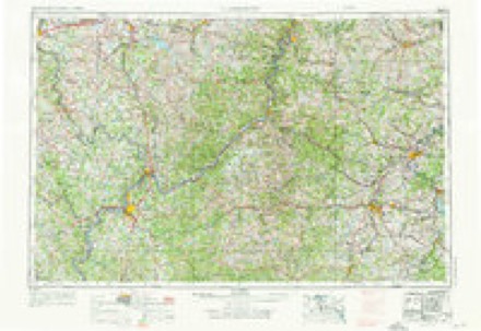
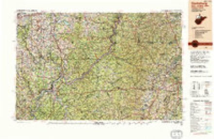
- 1949 USGS Clarksburg quadrangle1:250000
- 1956 USGS Clarksburg quadrangle1:250000, 2 printings
- 1961 USGS Clarksburg quadrangle1:250000
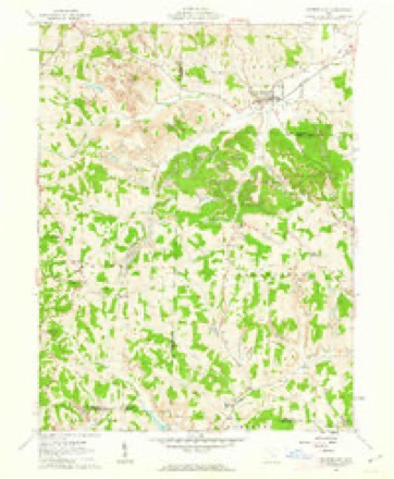
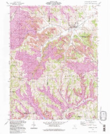
- 1961 USGS Cumberland quadrangle1:24000, 4 printings
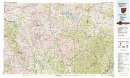
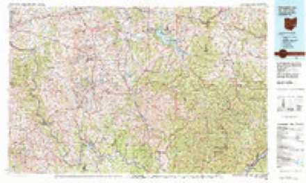
- 1980 USGS Senecaville quadrangle1:100000
- 1980 USGS Senecaville Lake quadrangle1:100000
- 1988 USGS Clarksburg quadrangle1:250000
- 1994 USGS Cumberland quadrangle1:24000
In the county-history sources
6,413 words on this townshipHistory of Muskingum County, Ohio, with Illustrations and Biographical Sketches of Prominent Men and Pioneers, published 1882 names this settlement in its chapter on Meigs Township. These are the passages that mention it, exactly as the scans read.
The surface of Meigs township is very hilly, the streams having cut deep ravines. through the lime and sandstones of the lower coal-measures. The soil of the lowlands is not of the best quality; that of the hills, composed of disintegrated limestone, is generally good, but deteriorated, to some extent, by injudicious farming. "
Passage source: History of Muskingum County, Ohio, with Illustrations and Biographical Sketches of Prominent Men and Pioneers, published 1882.
On the way to Zeno, they relieved Jesse Leasure of one horse, J. C. Guist of two, and T. O. West of one. They struck the Marietta road at the old Stephens tavern stand, where they coveted a fine charger belonging to Mr. E. Stephens.
Passage source: History of Muskingum County, Ohio, with Illustrations and Biographical Sketches of Prominent Men and Pioneers, published 1882.
It was near two o'clock in the afternoon when the raiders arrived at Zeno. Here they scattered in search of food for themselves and feed for their horses, appropriating everything they could find that a man or horse could eat, and taking all the horses they could get.
Passage source: History of Muskingum County, Ohio, with Illustrations and Biographical Sketches of Prominent Men and Pioneers, published 1882.
Machine-read from a century-old scan, so expect the errors a machine makes: misspelled names, dropped words, stray characters.
Read the whole chapter on Meigs Township - it names this place 3 more 3 times.
Fires near this place
8 since 2013Regional context, not property-specific evidence. The federal wildfire occurrence database lists 8 fires within 5 miles of Zeno between 2013 and 2019, burning about 21 acres in total. None started naturally. None was recorded as arson. Distance is straight-line from the map coordinates, so a fire counted here may appear on a neighbouring settlement's page as well.
| Reported cause | Fires |
|---|---|
| Debris and open burning | 5 |
| Missing data/not specified/undetermined | 2 |
| Equipment and vehicle use | 1 |
The most recent of them, most recent first, with the day each was reported and the service that recorded it.
| Date | Cause | Size | Reported by | Name on the report |
|---|---|---|---|---|
| 24 April 2014 | Equipment and vehicle use | 4.0 acres | Ohio Department of Natural Resources | not named |
| 30 March 2013 | Missing data/not specified/undetermined | 5.0 acres | Ohio Department of Natural Resources | not named |
| 27 March 2019 | Debris and open burning | 1.0 acres | Ohio Department of Natural Resources | 15064 |
| 23 March 2013 | Debris and open burning | 3.0 acres | Ohio Department of Natural Resources | not named |
| 16 March 2017 | Debris and open burning | 1.0 acres | Ohio Department of Natural Resources | 7385 |
| 10 March 2013 | Debris and open burning | 1.5 acres | Ohio Department of Natural Resources | not named |
| 4 December 2017 | Missing data/not specified/undetermined | 5.0 acres | Ohio Department of Natural Resources | 9546 |
| 14 October 2019 | Debris and open burning | under an acre | Ohio Department of Natural Resources | 15295 |
Settlements close enough to share some of these fires:
Specimens collected near this place
11 of 84 shownRegional context, not property-specific evidence. Museums hold 84 specimens collected within 10 miles of Zeno between 1931 and 1972: 81 Animalia, 3 Plantae. 11 distinct Species records are shown. Collected by Adams, W.; Starrett, J., Adler, K. K., CHARLES WALKER and others. Each is a physical object with a catalogue number, and each entry opens the museum's record. This is what was collected and kept, not a survey of what lives here - nothing can be concluded from a species being absent.
| Image | Species | Year | Collected by | Where, as recorded |
|---|---|---|---|---|
 | Desmognathus fuscus (Rafinesque, 1820) | 1931 | Neiswender, M. D. (Mary D.) | Harrison Twp., Muskingum Co., Ohio |
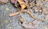 | Eurycea bislineata (Green, 1818) | 1931 | Neiswender, M. D. (Mary D.) | Harrison Twp., Muskingum Co., Ohio |
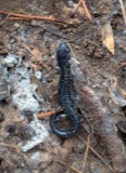 | Plethodon glutinosus (Green, 1818) | 1931 | Neiswender, M. D. (Mary D.) | Harrison Twp., Muskingum Co., Ohio |
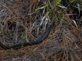 | Coluber constrictor constrictor Linnaeus, 1758 | 1935 | Maslowski, K. (Karl) & Dambach, C. A. (Charles A.) | Blue Rock Twp., Muskingum Co., Ohio |
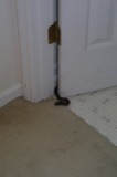 | Elaphe obsoleta obsoleta | 1935 | Maslowski, K. (Karl) & Dambach, C. A. (Charles A.) | Blue Rock Twp., Muskingum Co., Ohio |
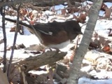 | Pipilo erythrophthalmus erythrophthalmus (Linnaeus, 1758) | 1935 | Hicks, L. E. (Lawrence E.) | High Hill, 3 mi E of, Muskingum, Ohio, USA |
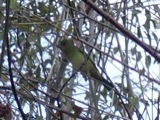 | Piranga olivacea (J.F.Gmelin, 1789) | 1935 | Dambach, C. A. (Charles A.) & Hicks, L. E. (Lawrence E.) | Blue Rock Twp., Muskingum Co., Ohio |
 | Pooecetes gramineus gramineus (J.F.Gmelin, 1789) | 1935 | Hicks, L. E. (Lawrence E.) | High Hill, 3 mi E of, Muskingum, Ohio, USA |
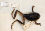 | Hyla versicolor LeConte, 1825 | 1936 | CHARLES WALKER | GAYSPORT |
| Pseudacris brachyphona (Cope, 1889) | 1936 | CHARLES WALKER | SALT CREEK TOWNSHIP | |
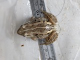 | Rana sylvatica LeConte, 1825 | 1936 | CHARLES WALKER | SALT CREEK TOWNSHIP |
All 84 specimens within 10 miles, at the Global Biodiversity Information Facility.
Mines and quarries near this place
5 within 5 milesRegional context, not property-specific evidence. The federal mineral resources record lists 5 workings within 5 miles of Zeno: 4 producers, 1 past producer. 4 still produce. What was taken out: Stone, Crushed/Broken, Limestone, General. Distance is straight-line from the map coordinates, so a quarry counted here may appear on a neighbouring settlement's page as well.
| Where | Site | Commodity | Status | Recorded |
|---|---|---|---|---|
| Guernsey Quarry | Limestone, General | Past Producer | Sedimentary | |
| Central Ohio Coal Co. Mine | Stone, Crushed/Broken | Producer | ||
| Guernsey Quarry | Stone, Crushed/Broken | Producer | ||
| Ohio Power Pit | Stone, Crushed/Broken | Producer | ||
| Ohio Power Pit | Stone, Crushed/Broken | Producer |
Storms near this place
1 since 2013Regional context, not property-specific evidence. The National Weather Service names Zeno in 1 storm report in 2013: 1 thunderstorm wind. No death or injury is recorded in these reports. Each account below is quoted exactly as the forecast office filed it, from the NOAA Storm Events Database, and each date opens the federal record of that event.
| When | Event | Place named | Harm | What the report says |
|---|---|---|---|---|
| June 2013 | Thunderstorm Wind | Zeno | $1,000 | Emergency management reported a large tree down at the intersection of State Route 340 and International Road. |
Nearest settlements
The eight closest, with where each one stands in the county. Distances are straight-line, computed from the Geographic Names Information System coordinates.
| Map | Place | Distance | Sheets |
|---|---|---|---|
| Coal Hill | 0.9 miles | 14 | |
| Young Hickory | 1.6 miles | 14 | |
| High Hill | 2.9 miles | 14 | |
| Museville | 3.5 miles | 14 | |
| Saint Clair (historical) | 4.7 miles | 14 | |
| Spratt | 5.1 miles | 14 | |
| Ruraldale | 6.0 miles | 14 | |
| Freeland | 6.1 miles | 15 |
Provenance
This settlement is recorded in the Geographic Names Information System as feature 1048230. The sheet list is computed by point-in-boundary test against the United States Geological Survey's historical topographic inventory. Both are works of the United States government and carry no copyright under 17 U.S.C. 105.
Wildfire. Short, Karen C. 2022. Spatial wildfire occurrence data for the United States, 1992-2020 [FPA_FOD_20221014]. 6th Edition. Fort Collins, CO: Forest Service Research Data Archive. https://doi.org/10.2737/RDS-2013-0009.6 Collected with United States Government funding and usable without additional permissions or fees.
Specimens. Global Biodiversity Information Facility (GBIF), https://www.gbif.org/. Only records licensed CC0 or CC BY are used. Records licensed CC BY-NC are excluded because this site carries advertising. Images are checked individually and any whose licence is non-commercial, no-derivatives or unreadable is refused.
Mines and quarries. USGS Mineral Resources Data System (MRDS) https://mrdata.usgs.gov/mrds/ A work of the United States government, no copyright under 17 U.S.C. 105.
Storms. NOAA National Centers for Environmental Information, Storm Events Database https://www.ncei.noaa.gov/stormevents/ A work of the United States government, no copyright under 17 U.S.C. 105. Narratives are quoted verbatim from the National Weather Service report and are not edited or summarised.