125 topographic sheets and 21 fire insurance
atlases across 6 places.
Research this county
This curated hub for Muskingum County, Ohio brings together the page's documented record links, visible map or image evidence where published, and routes to related local records.
Use the page's provenance and linked records to distinguish the source material from the site's navigation and summaries.
How should I cite it?
Open the original record, preserve its repository and identifier, then use the citation tool for this page as a path back to the source.
Where should I go next?
Follow the county or state hub for related places and records, then use the guide for a source-aware research sequence.
From the record
“was so named in honor of Captain John C. I., and his cousin, Harry Hazlett, of the 5th U.S. Artillery, both of whom were killed during the Civil war; the post was organized June 1, 1881, with the following officers: C.”
Hazlett Post, No. 81 - 1794. History of Muskingum County, Ohio, with Illustrations and Biographical Sketches of Prominent Men and Pioneers (1882). Machine-read text.
70 National Register listings · 34 businesses named in the fire insurance atlases from 1886 to 1946 · the 1882 county history tells 5 stories and names 27 people · people the book names include Fairview M. E. Chui4Ch (Wayne Township, 1882) · Ebenezer M. E. Church (Perry Township, 1882) (machine-read).
Ohio within the United StatesMuskingum County within Ohio
Explore by year
What the record shows
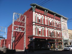
6 places in this county were surveyed for fire insurance: Zanesville, Frazeysburg, Dresden, New Concord, Duncan Falls, Taylorsville, between 1886 and 1955.
21 fire insurance atlas(es) survive for the county. Topographic coverage is national; fire insurance survey reached only incorporated places with something worth insuring.
1,768 topographic sheet readings cover the county's settlements.
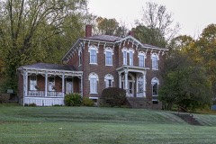
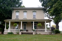
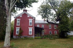
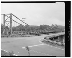
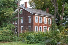
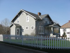
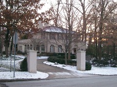
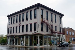
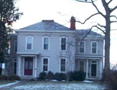
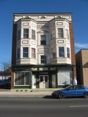
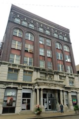
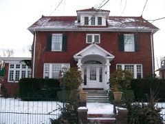
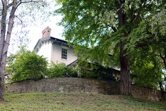
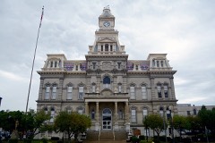
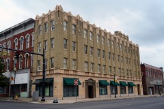
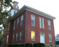
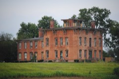
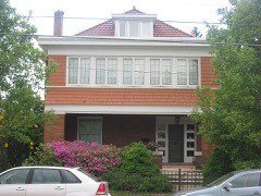
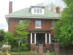
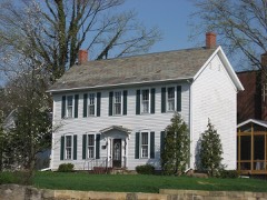
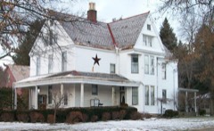
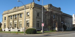
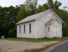
70 properties here are on the National Register of Historic Places, including 1 covered bridge, 31 houses and farms.
30 of the 70 listings were added during the 1970s.
The Geographic Names Information System records 130 populated places in this county; 0 are covered by at least one topographic sheet.
5 public-domain county histories, 1882 to 1927, supply 244,107 words of narrative reproduced here in full.
What happened here
5 accounts
A captivity, a drowning, a famine, a man
scalped clearing his lot in 1789. These are passages from 1794. History of Muskingum County, Ohio, with Illustrations and Biographical Sketches of Prominent Men and Pioneers, written
while people who remembered the events were still alive, and each one
opens the section it comes from.
1882, Falls Township
Sabbath School In Early Times
Archibald McCann was very devoted to the welfare of the young people of his neighborhood, and on Sabbath gave his whole time to teaching ; opening school in the morning, and continuing all day - in studying the Bible. Mr. McCann was drowned in the canal at Zanesville, on the night of March 29th, 1839. "^^^ drawbridge had been left open, and, the night being dark, he did not discover it, and, walking off, fell into the water.
The territory comprising this township is situated in the extreme northeast corner of Muskingum county. It is drained entii-ely by "White Eyes" creek, (so named in commemoration of the noted Indian by that name, who, notwithstanding he was indeed the white man's friend, was murdered by white men). The stream traverses it from the southwest to the northeast corner.
Archibald McCann was very devoted to the welfare of the young people of his neighborhood, and on Sabbath gave his whole time to teaching ; opening school in the morning, and continuing all day - in studying the Bible. Mr. McCann was drowned in the canal at Zanesville, on the night of March 2gth, 1839. The drawbridge had been left open, and, the night being dark, he did not discover it, and, walking off, fell into the water.
yes" creek, (so named in commemoration of the noted Indian by that name, who, notwithstanding he was indeed the white man's friend, was murdered by white men). The stream trayerses it from the southwest to the northeast corner. Wills creek just touches the northwest corner of the township, and effects very little drainage.
was so named in honor of Captain John C. Hazlett, of 2d O. V. I., and his cousin, Harry Hazlett, of the 5th U.S. Artillery, both of whom were killed during the Civil war; the post was organized June 1, 1881, with the following officers: C. C. Goddard, post commander; M. V. B. Kennedy, senior vice commander; Wilson C.
Taken for the Office of War Information and
the Farm Security Administration, who photographed the country between
1935 and 1944. Works of United States government photographers, with no
known restriction on use. Each opens its catalogue record.
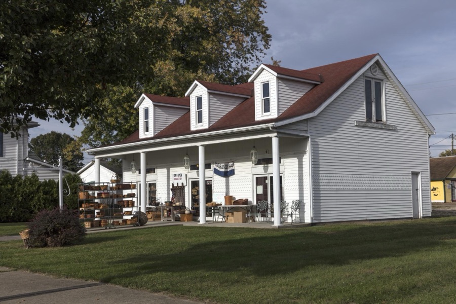
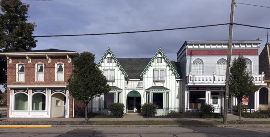
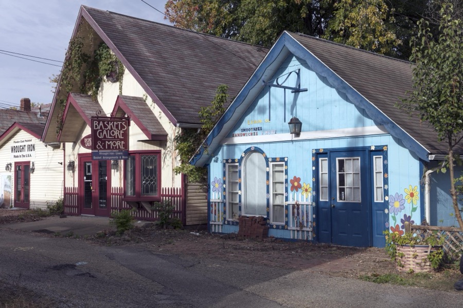
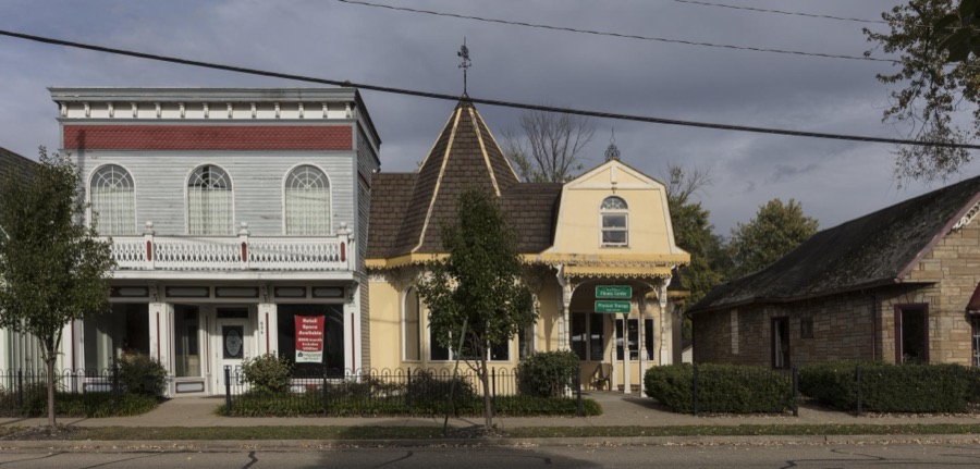
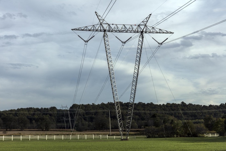
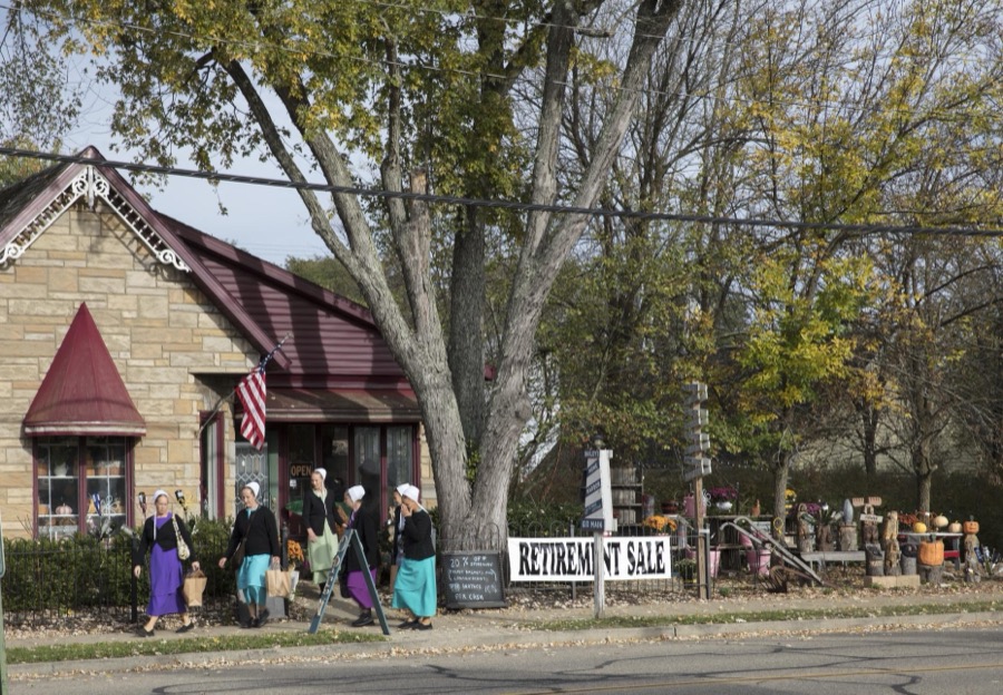
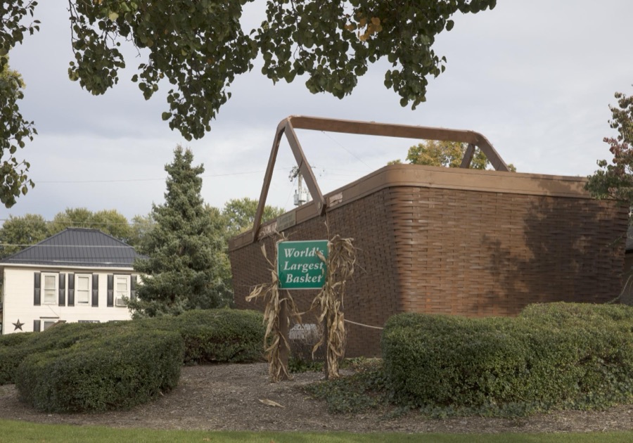
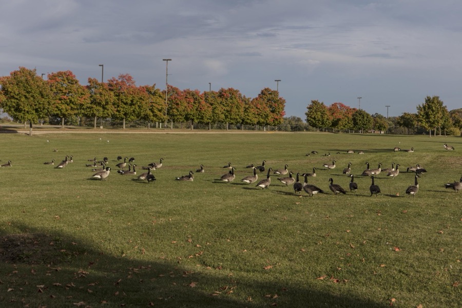
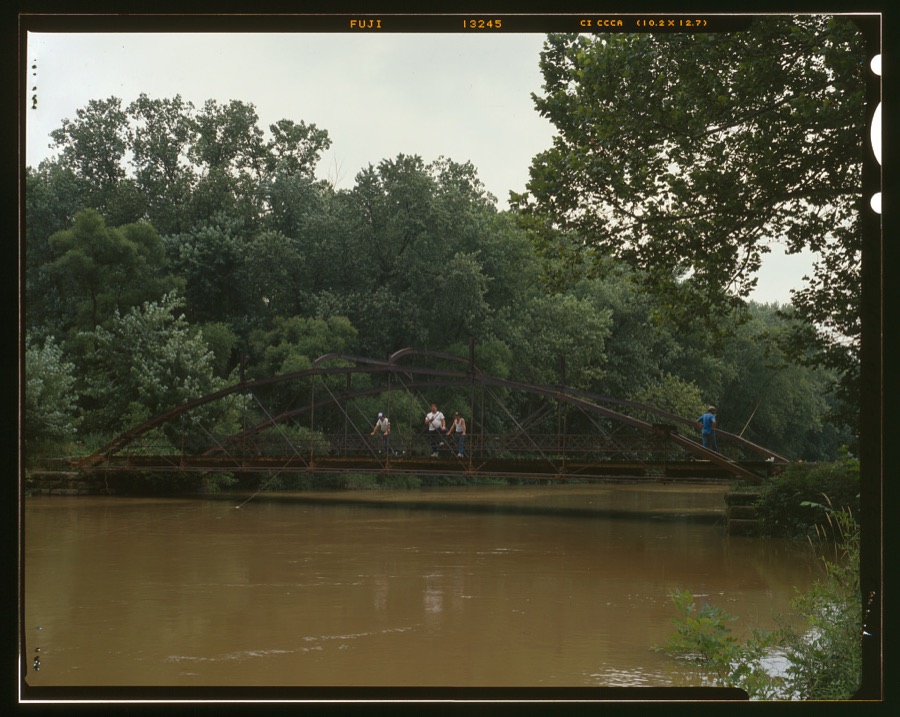
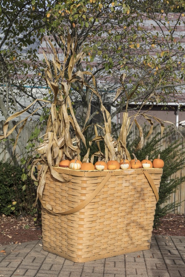
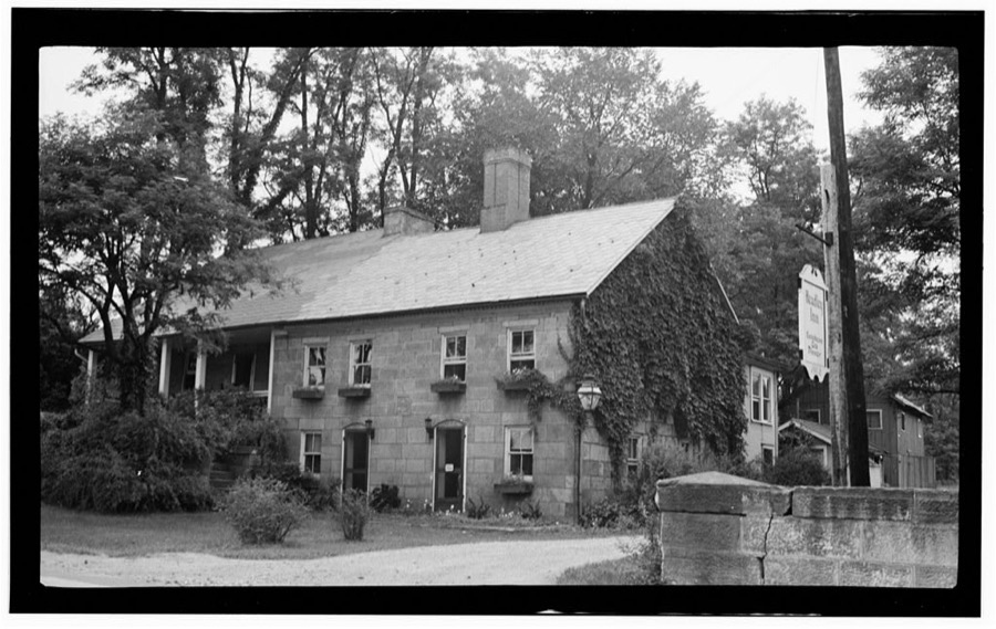
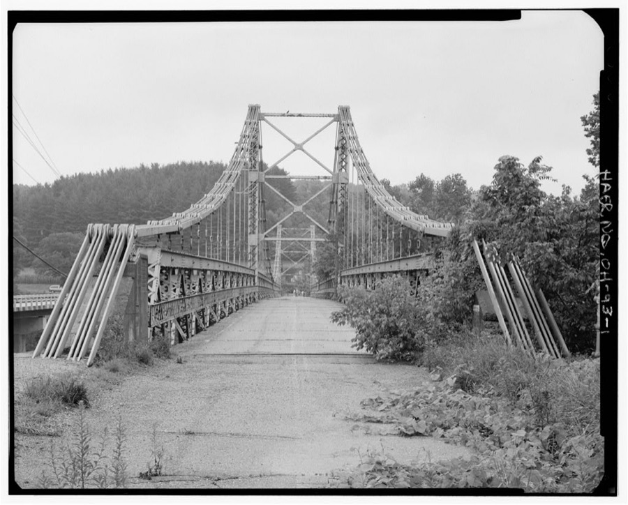
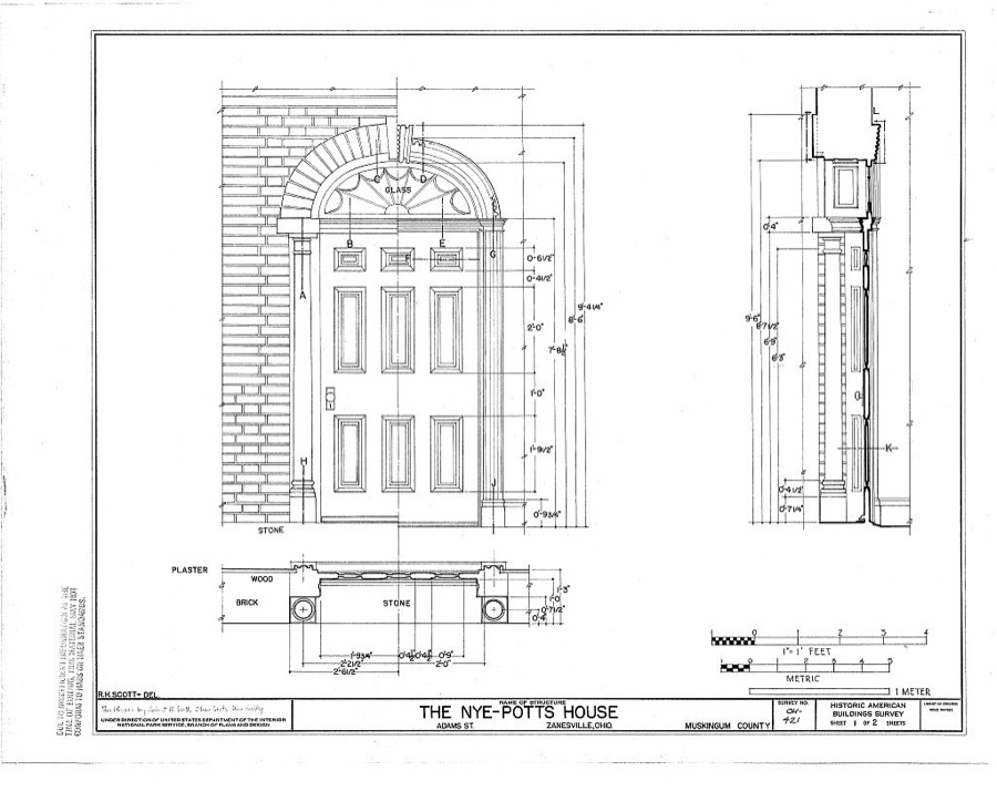
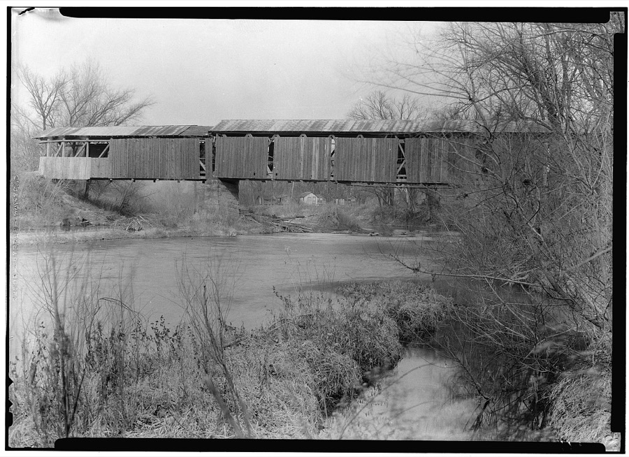
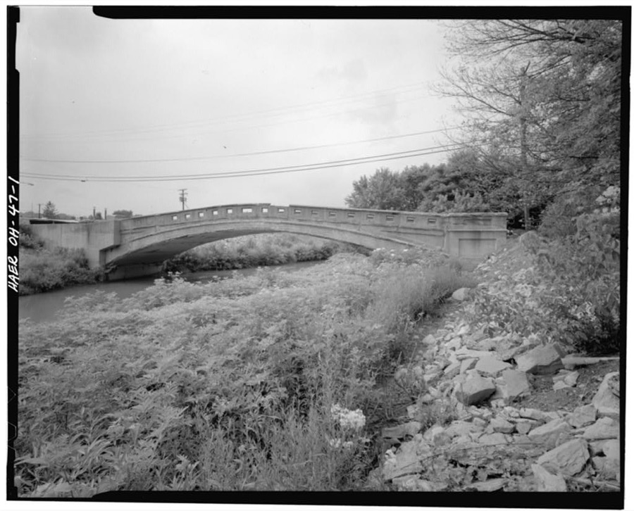
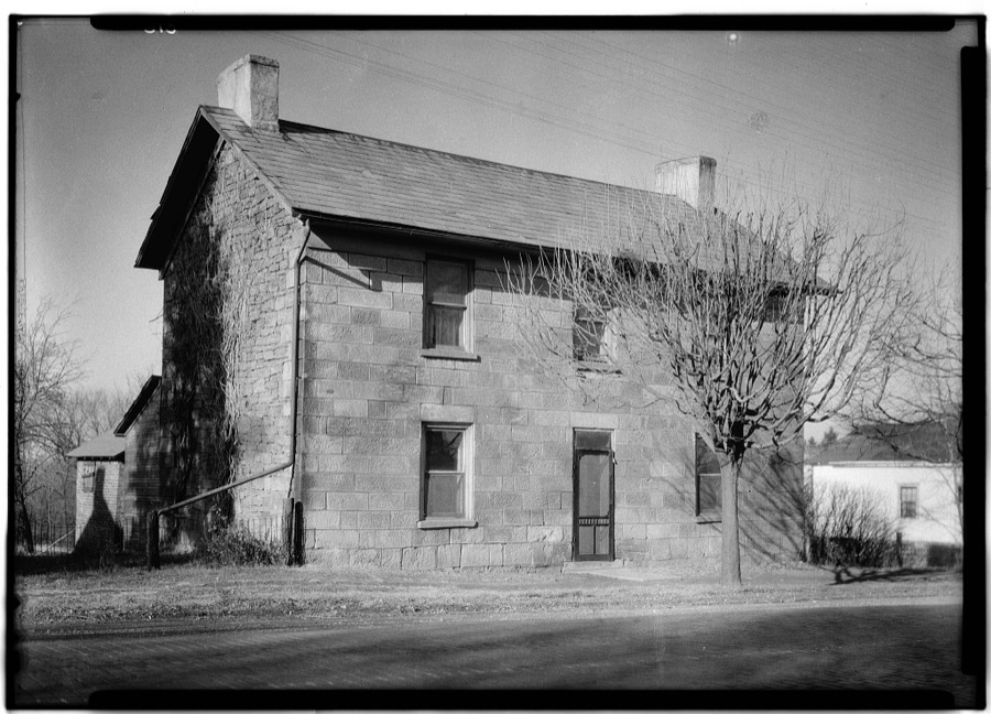
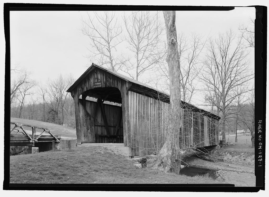
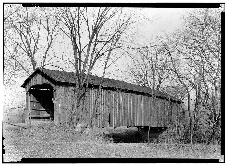
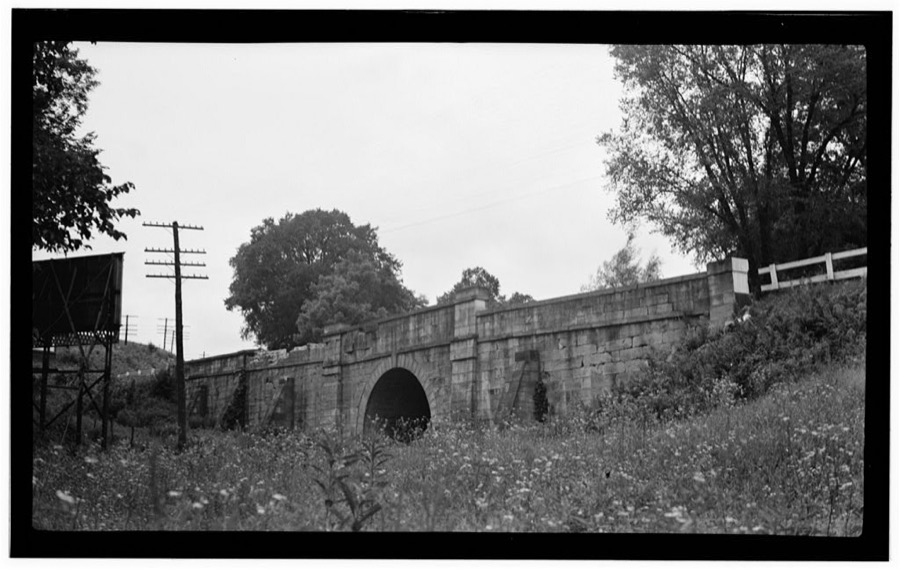
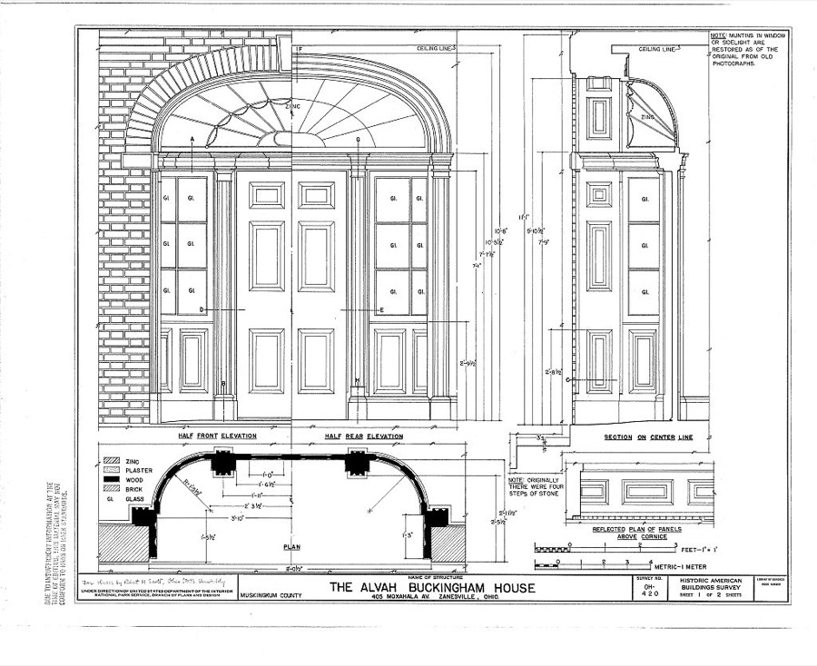
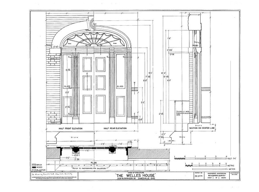
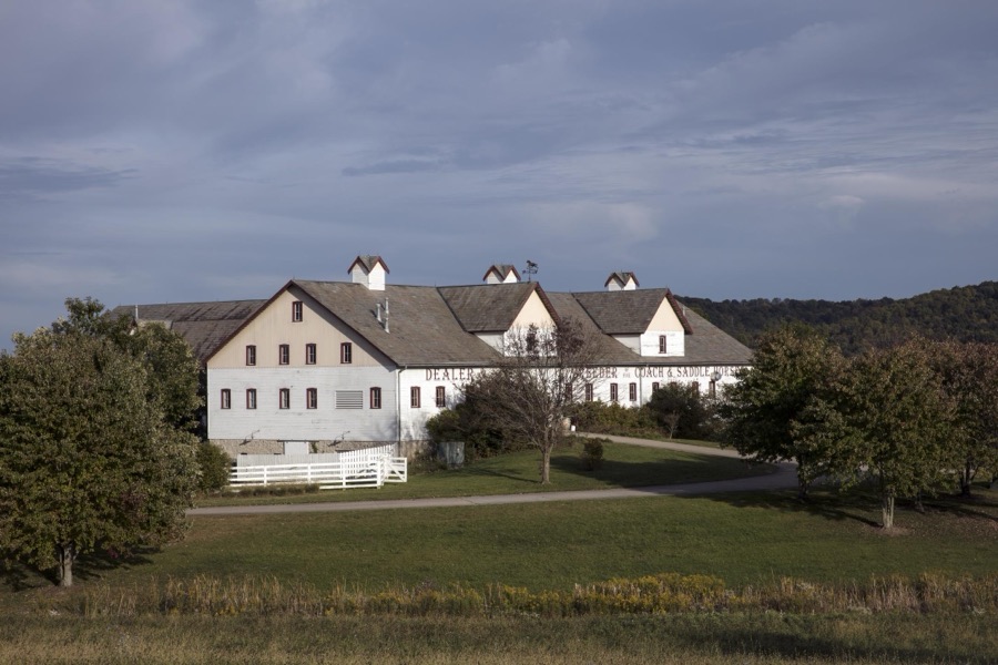
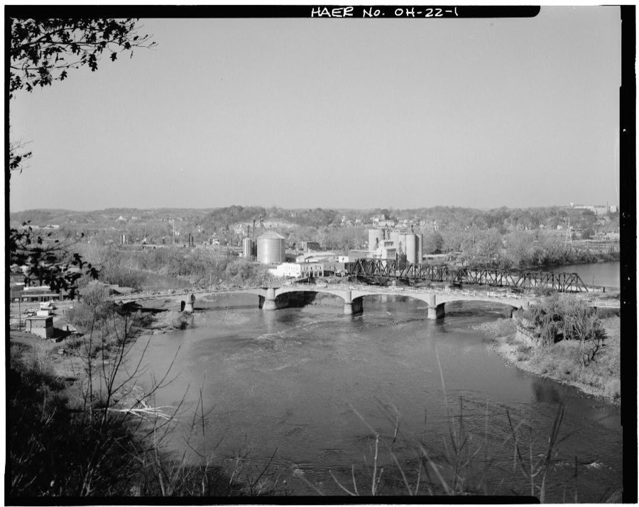
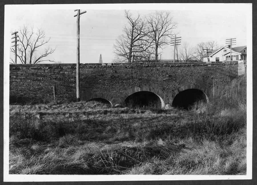
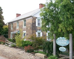
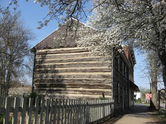
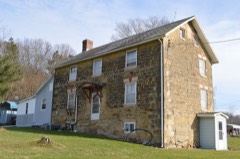
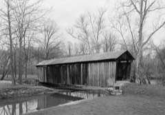
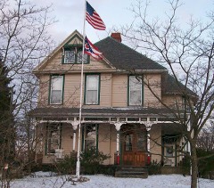
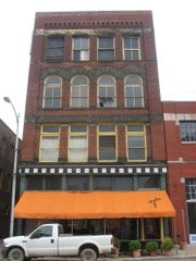
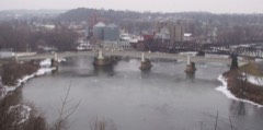
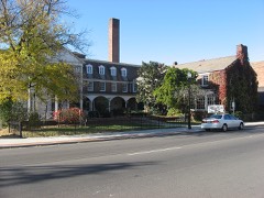
A gift shop prepares for buyers looking for pumpkins and other fall decorations in Dresden, a small Central Ohio town that has carved out a tourist niche through its many gift shops that specialize in decorative baskets and related household items Highsmith, Carol M, 2016. Library of CongressQuaint shops in Dresden, a small Central Ohio town that has carved out a tourist niche through its many little stores that specialize in decorative baskets and related household items Highsmith, Carol M, 2016. Library of CongressQuaint shops in Dresden, a small Central Ohio town that has carved out a tourist niche through its many little stores that specialize in decorative baskets and related household items Highsmith, Carol M, 2016. Library of CongressQuaint shops in Dresden, a small Central Ohio town that has carved out a tourist niche through its many little stores that specialize in decorative baskets and related household items Highsmith, Carol M, 2016. Library of CongressA line of enormous power towers and electric cables in Muskingum County, Ohio Highsmith, Carol M, 2016. Library of CongressA group of Amish women leave a gift shop in Dresden, a small Central Ohio town that has carved out a tourist niche through its many little stores that specialize in decorative baskets and related household items Highsmith, Carol M, 2016. Library of CongressThis is what Dresden, a small Central Ohio town, calls the "World's Largest Basket," though there are larger basket- shaped buildings that trace to the town Highsmith, Carol M, 2016. Library of CongressGeese, possibly conferring about where to fly for winter on this fine fall day, have the run of a field in Frayzesburg, Ohio Highsmith, Carol M, 2016. Library of CongressRodrick Bridge, Spanning Wills Creek, Otsego, Muskingum County, OH Unattributed, . Library of CongressA decorative basket in Dresden, a small Central Ohio town that has carved out a tourist niche through its many gift shops that feature such baskets and related household items Highsmith, Carol M, 2016. Library of CongressUsual Headley Inn, Route 40, Zanesville, Muskingum County, OH Unattributed, . Library of CongressDresden Suspension Bridge, Spanning Muskingum River on State Route 208, Dresden, Muskingum County, OH Unattributed, . Library of CongressNye-Potts House, Adams Street, Zanesville, Muskingum County, OH Unattributed, . Library of CongressOld Covered Bridge, West of Zanesville Post Office, U.S. Highway 40, Hopewell, Muskingum County, OH Unattributed, . Library of CongressFirst Street Reinforced Concrete Bridge, Spanning Moxahala Creek at First Street (CR 7), Roseville, Muskingum County, OH Unattributed, . Library of CongressStone House, Zanesville, Muskingum County, OH Unattributed, . Library of CongressSalt Creek Bridge, Spanning Big Salt Creek, bypassed section of Arch Hill Road (CR 82), Norwich, Muskingum County, OH Unattributed, . Library of CongressOld Covered Bridge, Zanesville, Muskingum County, OH Unattributed, . Library of CongressStone Bridge, Route 40, Zanesville, Muskingum County, OH Unattributed, . Library of CongressAlvah Buckingham House, 405 Moxahala Avenue, Zanesville, Muskingum County, OH Unattributed, . Library of CongressWelles House, 209 Muskingum Avenue, Zanesville, Muskingum County, OH Unattributed, . Library of CongressA huge barn with many gables at the "Longaberger Homestead," a complex of office buildings, shops, farm buildings, and restaurants in Frayzesburg, to which the Longaberger Co. moved all its operations in 2016 Highsmith, Carol M, 2016. Library of CongressY-Bridge, Spanning confluence of Muskingham & Licking Rivers, Zanesville, Muskingum County, OH Unattributed, . Library of CongressBridge, Zanesville, Muskingum County, OH Unattributed, . Library of Congress
Places on the National Register
70
Every property in this county listed on the
National Register of Historic Places, with the year it was listed and the
federal nomination document.
Muskingum County holds 1 covered bridges on
the National Register, more than any other property type here. Each is a listed
structure with a federal nomination on file.
Drawn when these were printed as
single large sheets: the town seen from the air, and the county
divided into its farms with every owner named. Each opens the
original at the Library of Congress.
Land ownership map (1852) - Map of Muskingum County. Library of Congress.
Photographs from libraries nationwide
7 of 20 shown
Selected from the Digital Public Library
of America's 20 image records catalogued for this county. Every
one shown here carries a public-domain status or a licence that permits
reuse on a site that carries advertising; non-commercial, share-alike
and restricted images are excluded. The selection is spread across the
county's towns (at most eight per town), so no single institution's
bulk upload crowds out the rest. Each opens the holding library's
record, and
the complete set at the
Digital Public Library of America is one click away.
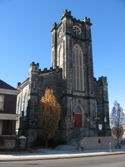
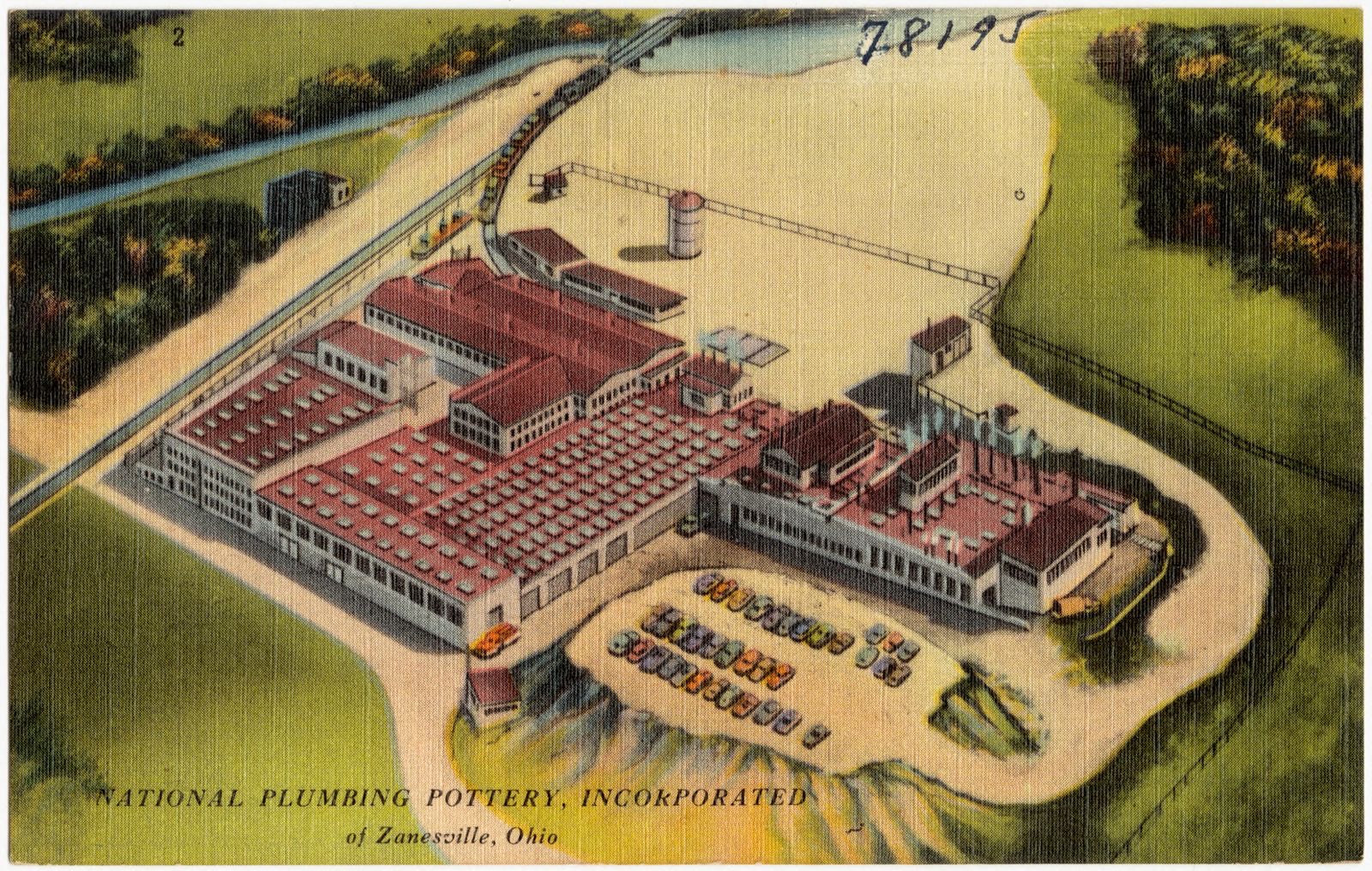
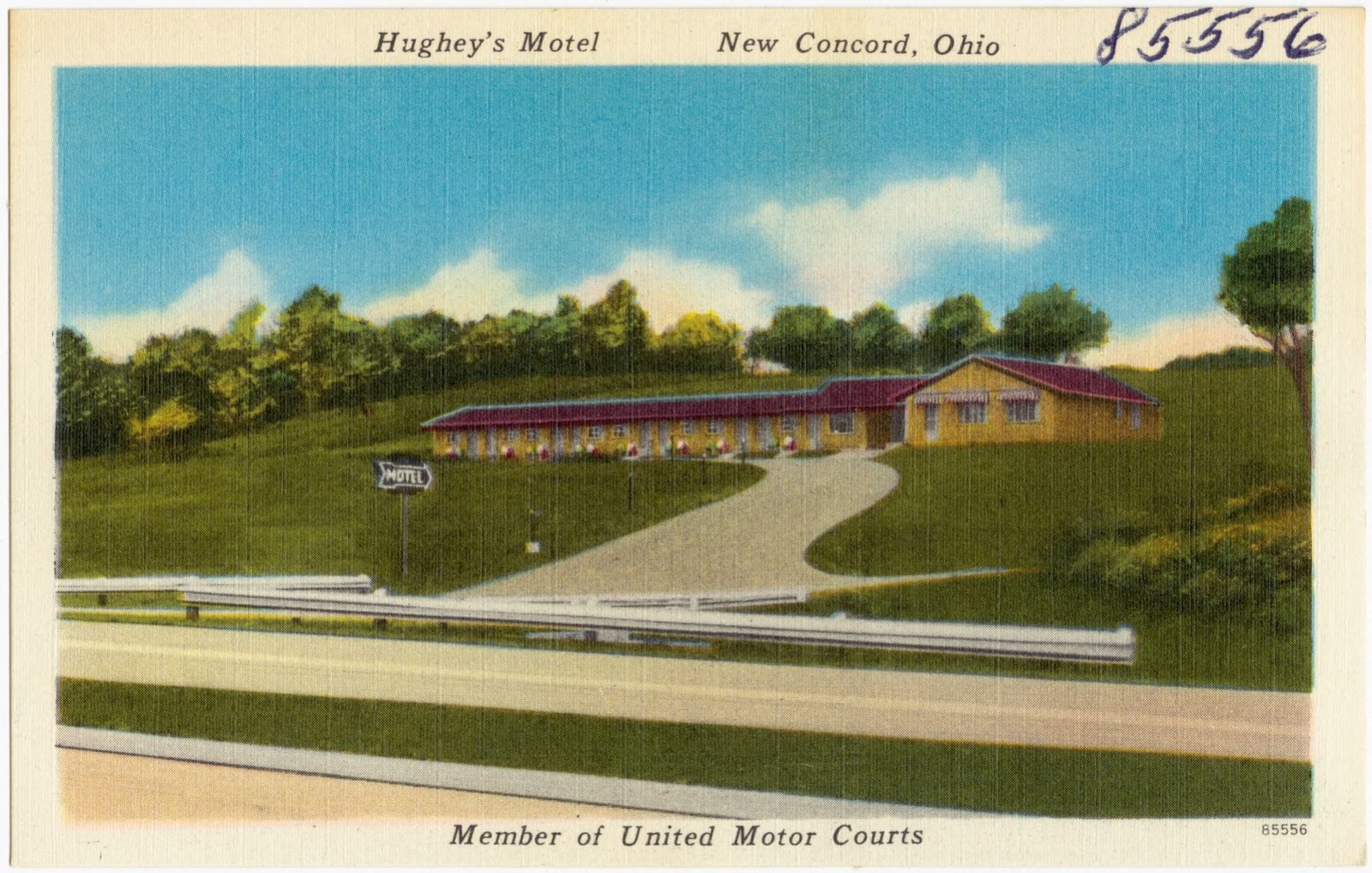
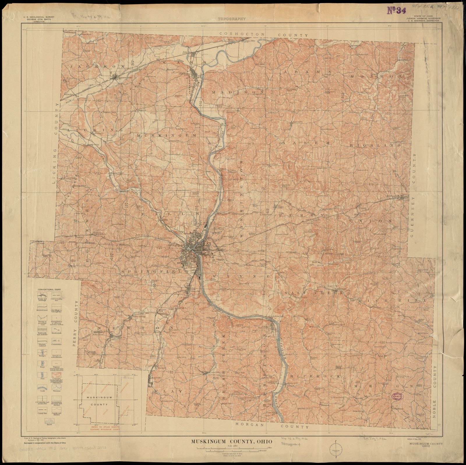
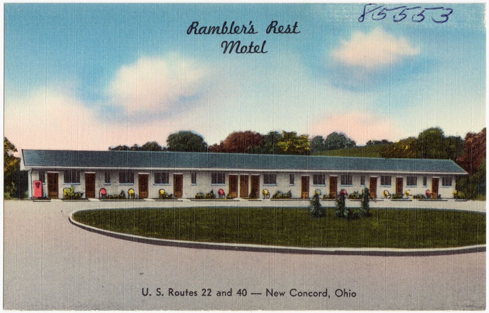
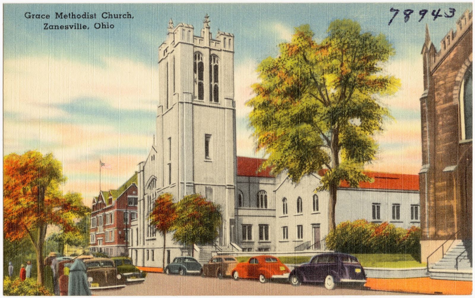
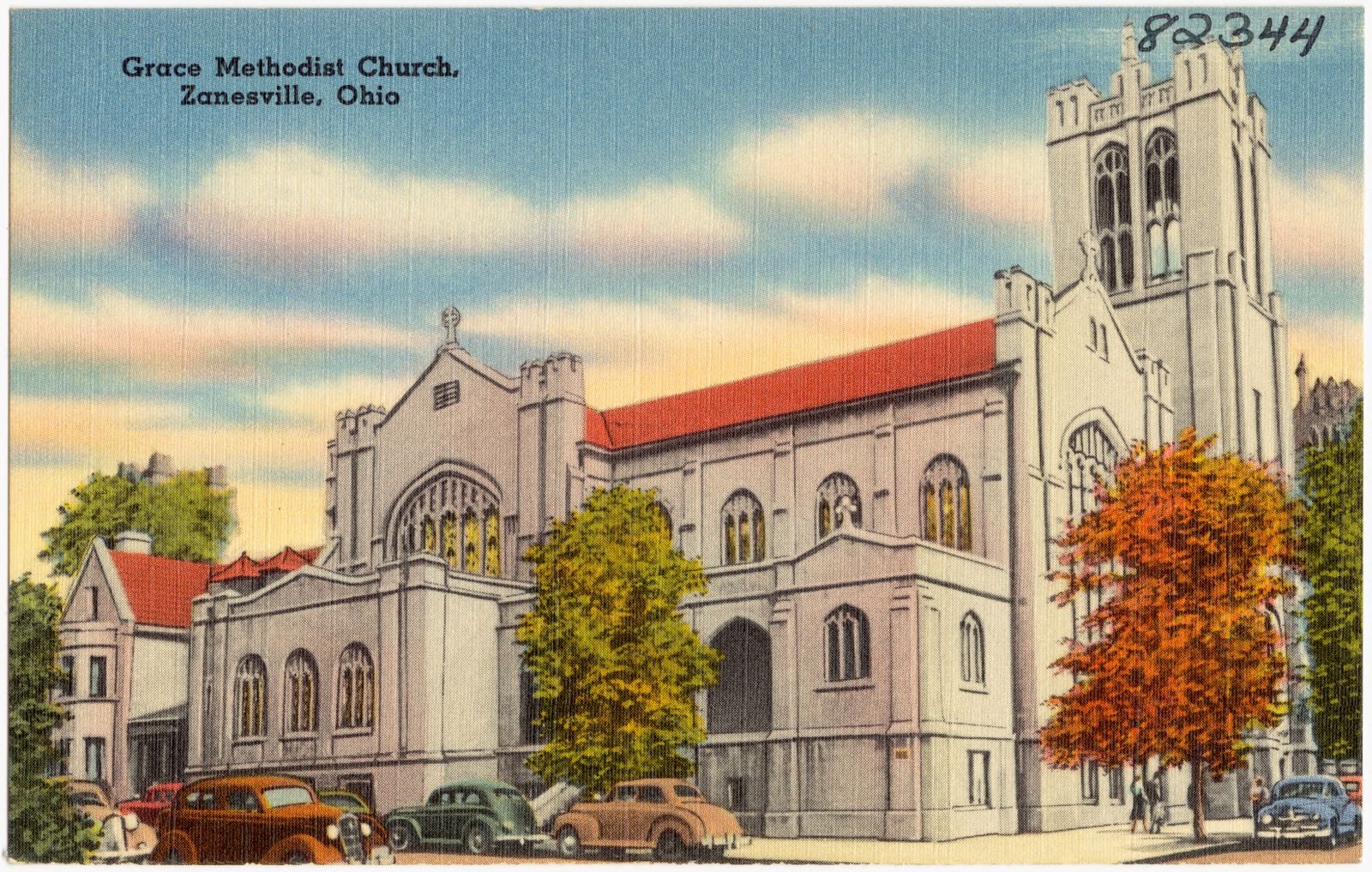
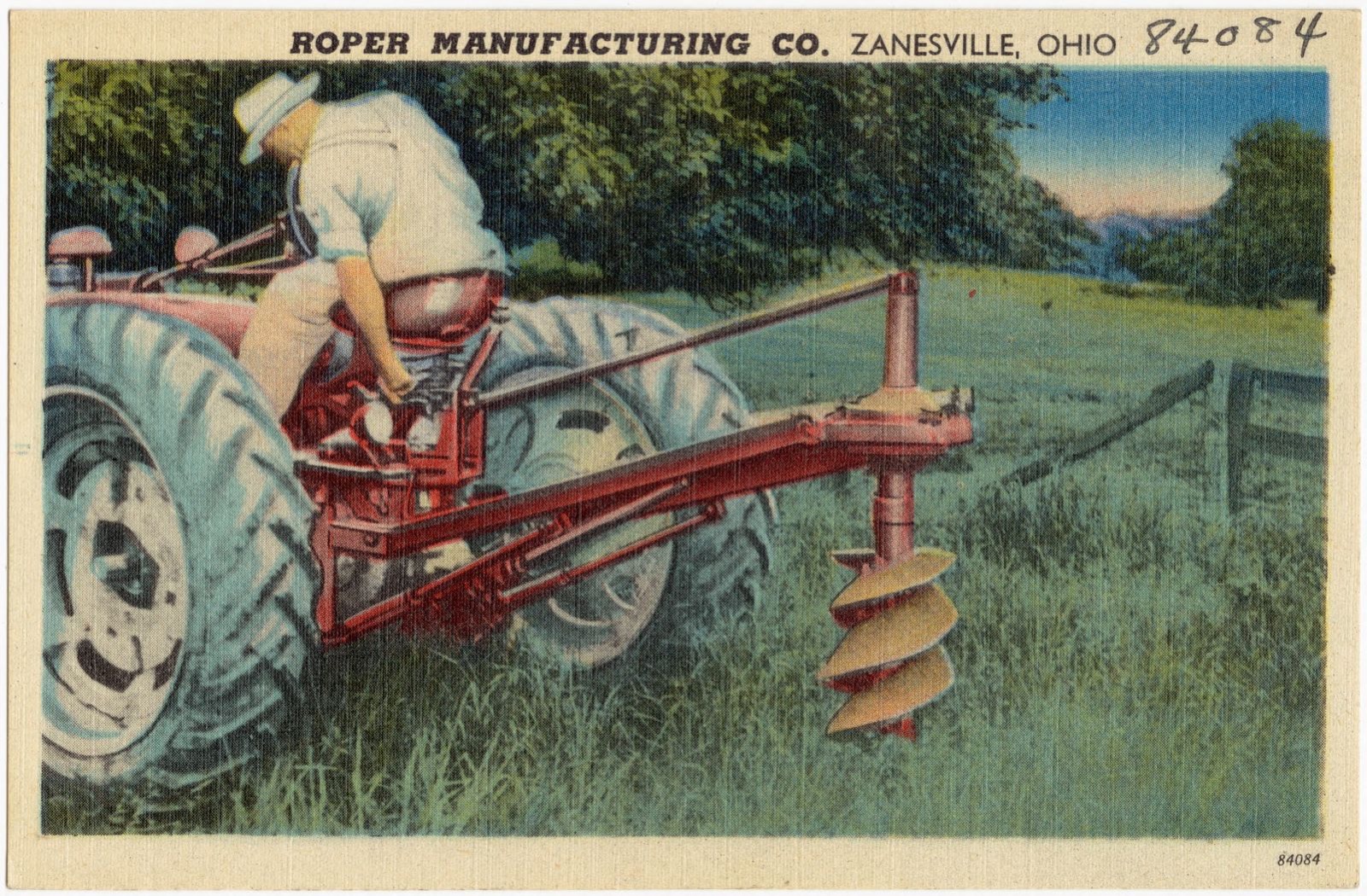
National Plumbing Pottery, Incorporated of Zanesville, Ohio. Boston Public Library, via the Digital Public Library of America.Hughey's Motel, New Concord, Ohio. Member of United States Motor Court. Boston Public Library, via the Digital Public Library of America.Muskingum County, Ohio. Geological Survey (U.S.), Boston Public Library, via the Digital Public Library of America.Rambler's Rest Motel, U.S. Routes 22 and 40 -- New Concord, Ohio. Boston Public Library, via the Digital Public Library of America.Grace Methodist Church, Zanesville, Ohio. Boston Public Library, via the Digital Public Library of America.Grace Methodist Church, Zanesville, Ohio. Boston Public Library, via the Digital Public Library of America.Roper Manufacturing Co., Zanesville, Ohio. Boston Public Library, via the Digital Public Library of America.
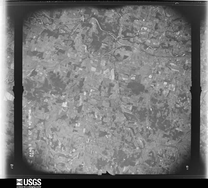
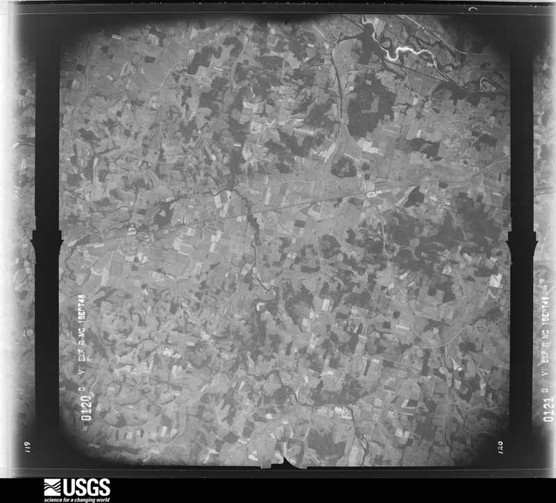
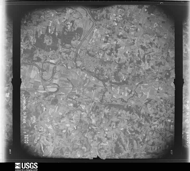
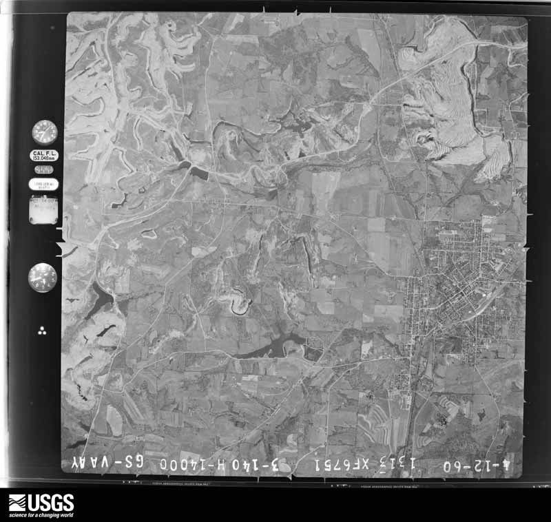
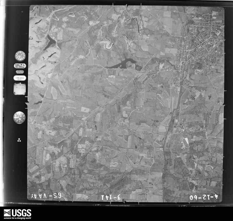
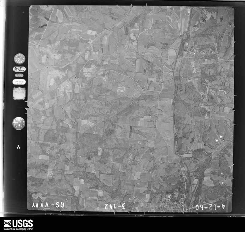
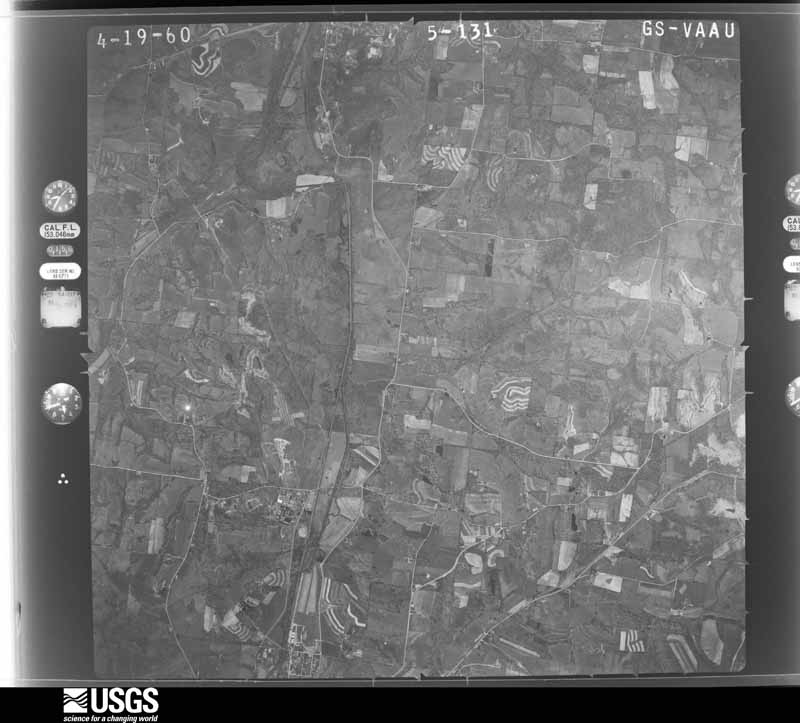
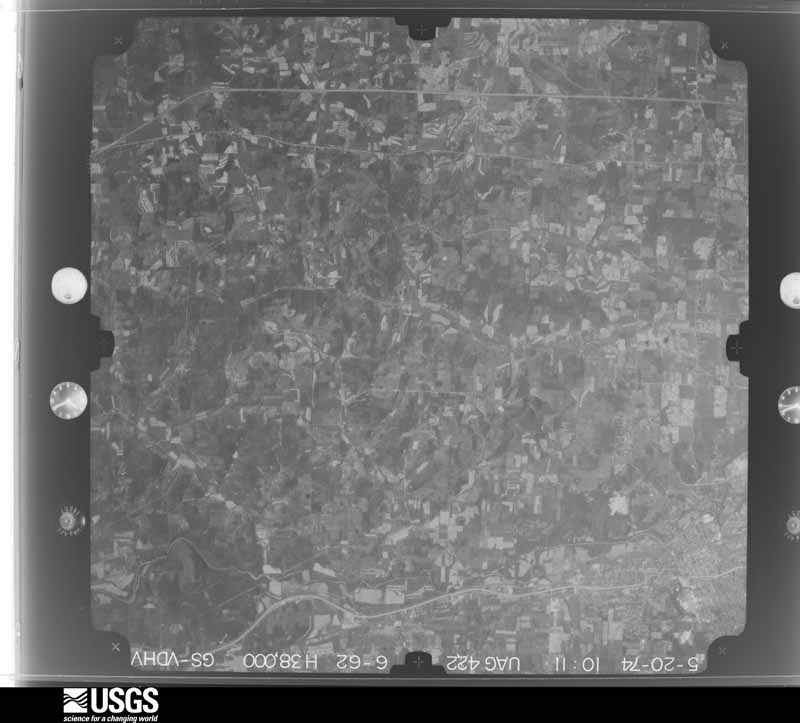
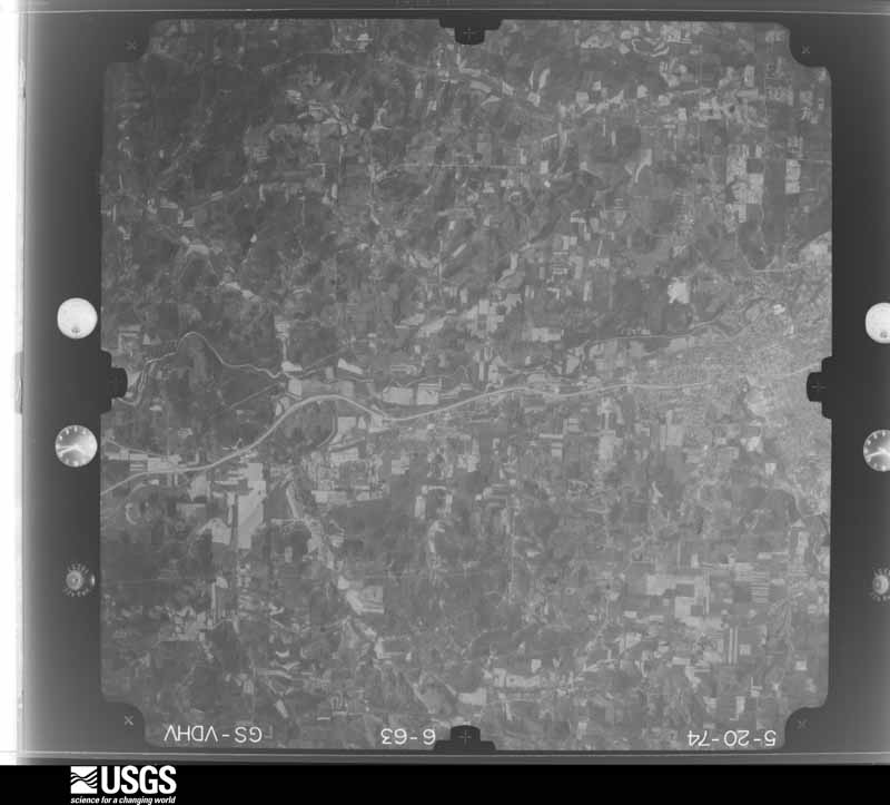
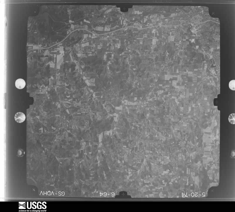
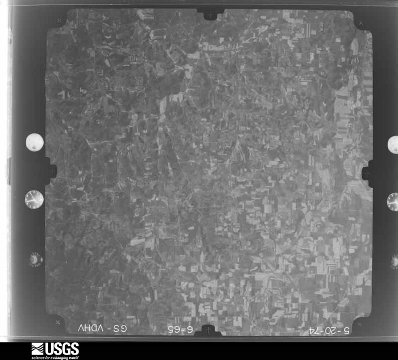
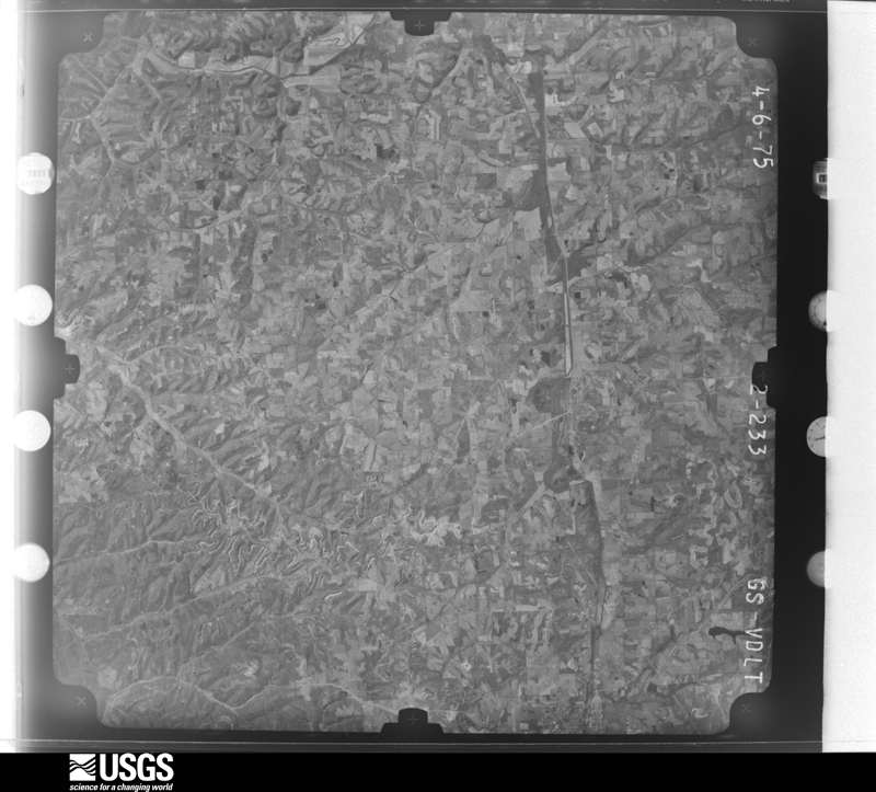
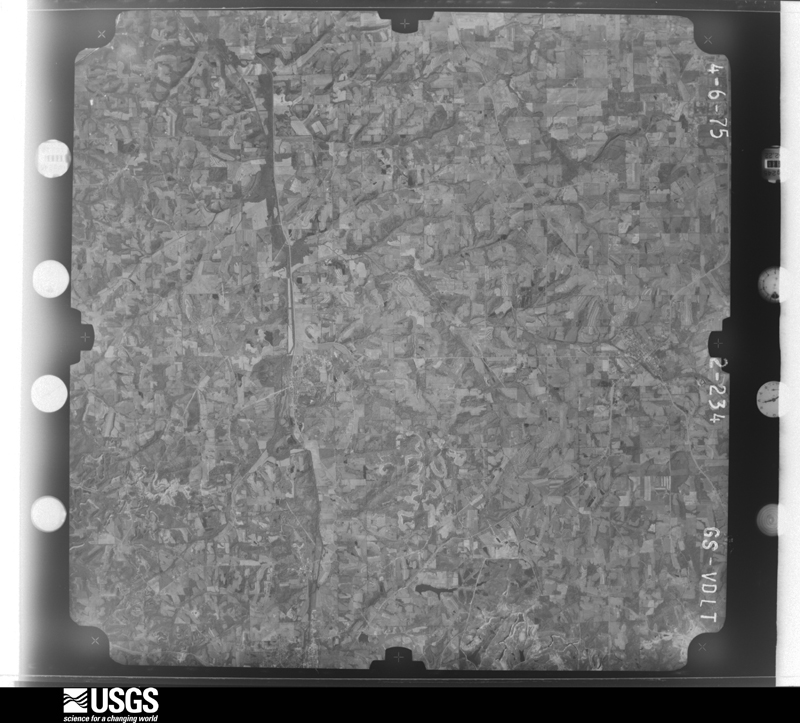
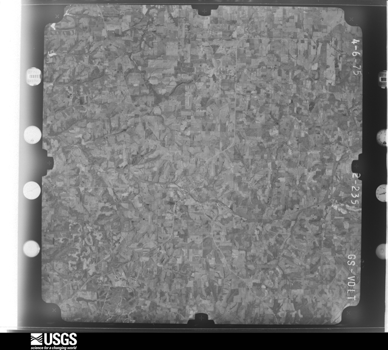
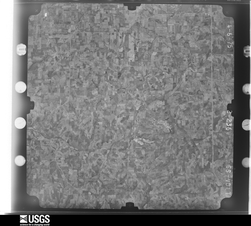
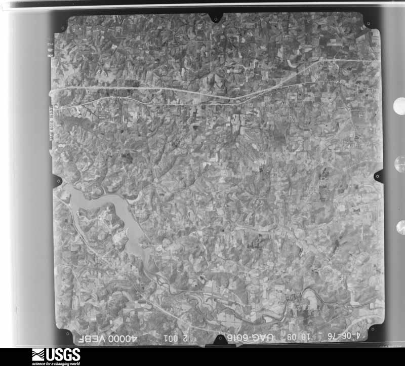
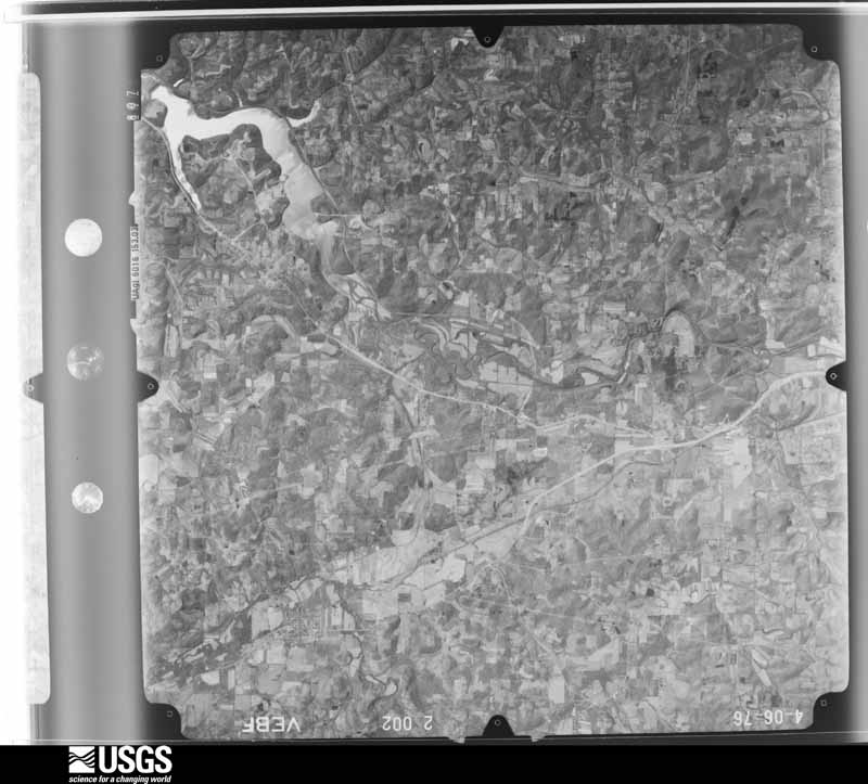
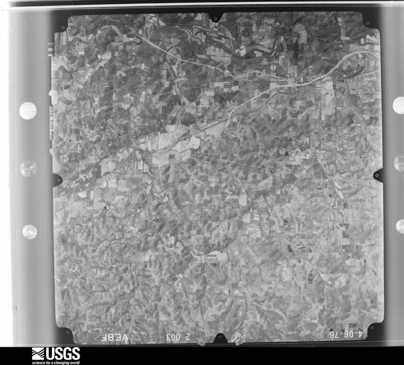
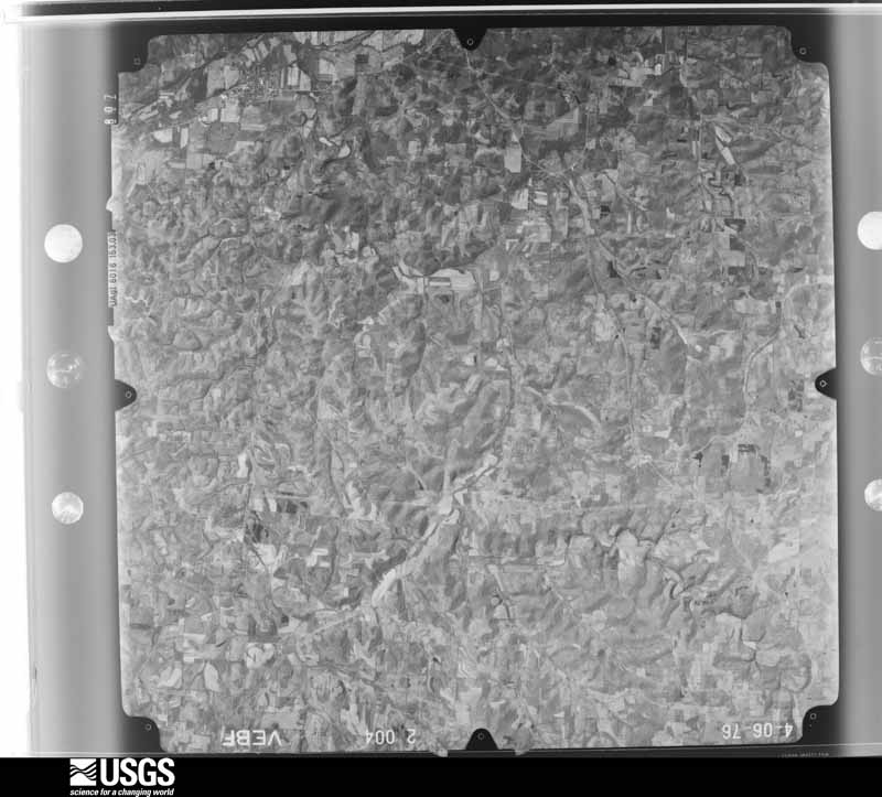
The county from the air
28 of 494 shown
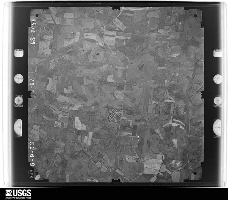
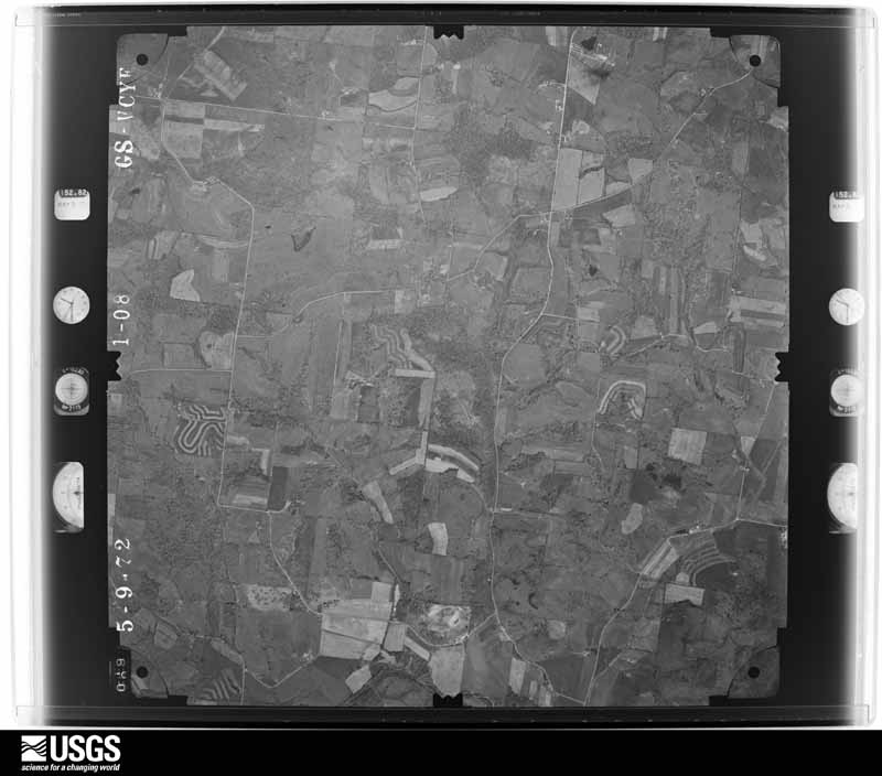
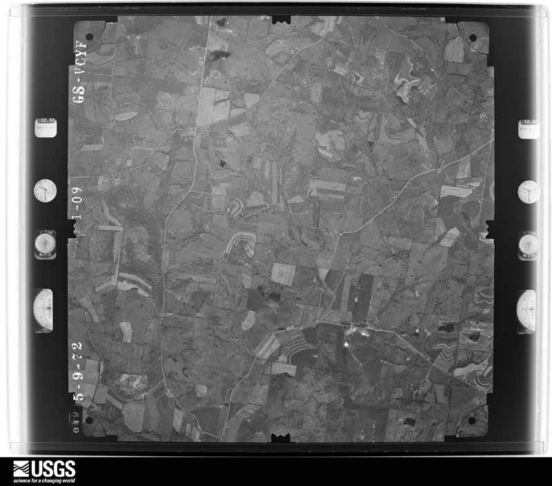
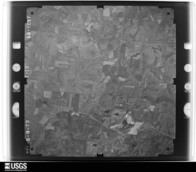
Flown by the U.S. Geological Survey
between 1937 and 1989, the Aerial Photo Single Frames collection is
the definitive mid-century view of the land: fields, roads and rivers
as the camera saw them. 494 frames touch this county; the
selection below spreads across the decades of flights (at most four
per year), so one flight cannot crowd out the rest. The full set is
free to browse and download at
EarthExplorer under the dataset Aerial Photo Single
Frames.
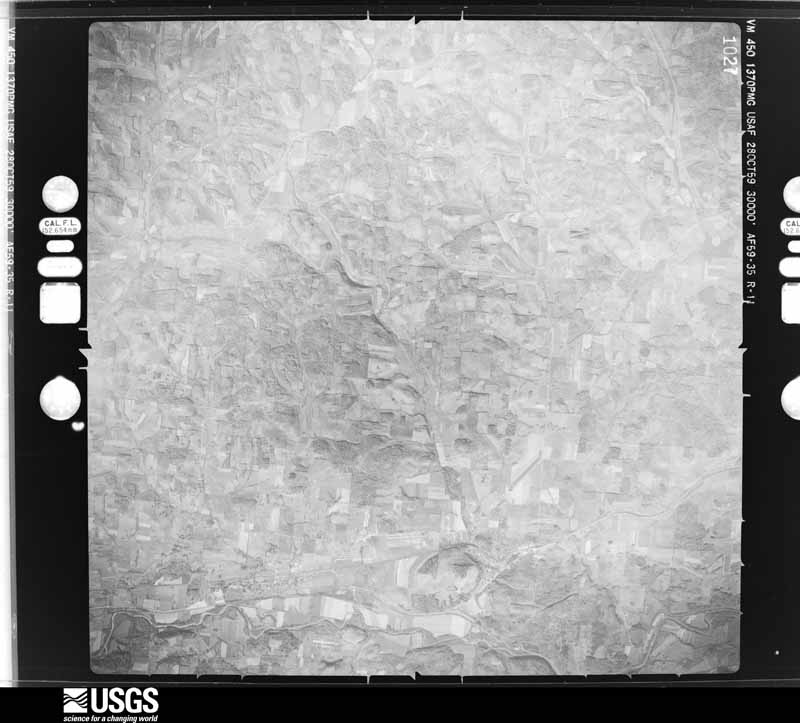
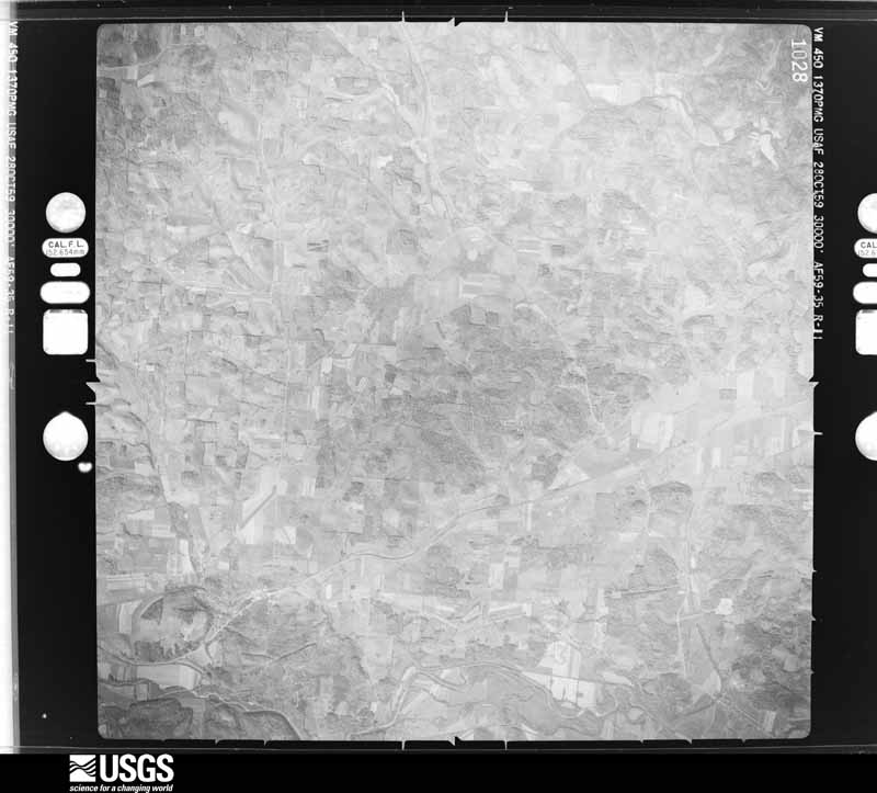
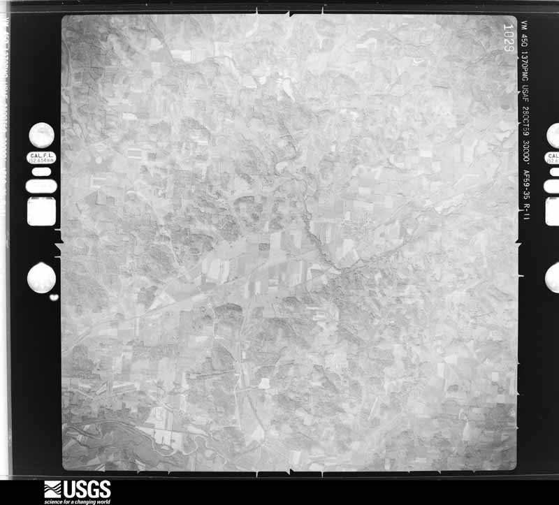
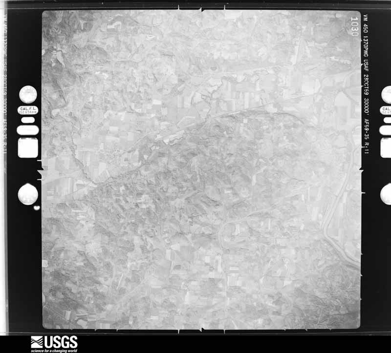
1948-09-01, scale 1:77875. U.S. Geological Survey aerial photograph.1948-09-01, scale 1:66965. U.S. Geological Survey aerial photograph.1948-09-01, scale 1:66965. U.S. Geological Survey aerial photograph.1948-09-01, scale 1:66965. U.S. Geological Survey aerial photograph.1959-10-28, scale 1:60000. U.S. Geological Survey aerial photograph.1959-10-28, scale 1:60000. U.S. Geological Survey aerial photograph.1959-10-28, scale 1:60000. U.S. Geological Survey aerial photograph.1959-10-28, scale 1:60000. U.S. Geological Survey aerial photograph.1960-04-22, scale 1:28000. U.S. Geological Survey aerial photograph.1960-04-22, scale 1:28000. U.S. Geological Survey aerial photograph.1960-04-22, scale 1:28000. U.S. Geological Survey aerial photograph.1960-04-23, scale 1:29000. U.S. Geological Survey aerial photograph.1972-05-10, scale 1:24000. U.S. Geological Survey aerial photograph.1972-05-10, scale 1:24000. U.S. Geological Survey aerial photograph.1972-05-10, scale 1:24000. U.S. Geological Survey aerial photograph.1972-05-10, scale 1:24000. U.S. Geological Survey aerial photograph.1974-05-01, scale 1:76000. U.S. Geological Survey aerial photograph.1974-05-01, scale 1:76000. U.S. Geological Survey aerial photograph.1974-05-01, scale 1:76000. U.S. Geological Survey aerial photograph.1974-05-01, scale 1:76000. U.S. Geological Survey aerial photograph.1975-04-06, scale 1:78000. U.S. Geological Survey aerial photograph.1975-04-06, scale 1:78000. U.S. Geological Survey aerial photograph.1975-04-06, scale 1:78000. U.S. Geological Survey aerial photograph.1975-04-06, scale 1:78000. U.S. Geological Survey aerial photograph.1976-04-01, scale 1:80000. U.S. Geological Survey aerial photograph.1976-04-01, scale 1:80000. U.S. Geological Survey aerial photograph.1976-04-01, scale 1:80000. U.S. Geological Survey aerial photograph.1976-04-01, scale 1:80000. U.S. Geological Survey aerial photograph.
City directories
3 volumes
The "who lived here, by year" answer:
pre-1929 public-domain directory volumes naming the county's people,
machine-read and searchable as text.
The thermometers that kept this
county's weather, and the gages that watched its rivers, as the
federal records hold them. The extremes below are measured values
from those records, not estimates.
Who lived here in 1950, one enumeration
district at a time, as the Census Bureau described each district.
Each row opens its official National Archives result, with Population
Schedules and ED Maps available there.
60-3Brush Creek township: Brush Creek township - That part east of State Hwy. 555
60-4Brush Creek township - That part west of State Hwy. 555 and south of County Rd. 139
60-5Cass township Cass township - That part north of Pennsylvania Railroad
60-6Roseville village - That part in Muskingum County comprising part Clay & Newton township: Roseville village - That part north of 2nd & Jonathan Creek in Clay township
60-7Roseville village - That part south of 2nd & Jonathan Creek in Clay township
60-8Roseville village - That part in Newton township (Remainder of Roseville village is in Harrison township, Perry county)
60-9Clay township - That part outside Roseville village (Remainder of Clay township is in Roseville village)
60-10Falls townships: North Zanesville, unincorporated: North Zanesville, unincorporated - That part east of Dresden Rd. (See boundaries shown on aerial photo CLZ - 9A - 134)
60-11North Zanesville, unincorporated - That part west of Dresden Rd. and north of Military Rd. (See boundaries shown on aerial photo CLZ - 9A - 134)
60-12North Zanesville, unincorporated - That part west of Dresden Rd. and south of Military Rd. (See boundaries shown on aerial photo CLZ - 9A - 134)
60-13Falls township - That part east of State Hwy. 77 and including that section on west bank of Muskingum River outside Zanesville city and North Zanesville, unincorporated. (See aerial photo CLZ - 9A - 134 for boundaries of North Zanesville
60-14Falls township - That part west of State Hwy. 77 and northeast of Baltimore and Ohio Railroad, outside of Zanesville city and North Zanesville, unincorporated (See aerial photo CLZ - 9A - 134 or for boundaries of North Zanesville)
60-15Falls township - That part southwest of Baltimore and Ohio Railroad, outside Zanesville city
60-16Harrison township: Taylorsville village Taylorsville village - That part north of 3rd & 3rd extended
60-17Taylorsville village - That part south of 3rd & 3rd extended
60-18Harrison township - That part outside Taylorsville village
60-20Hopewell township: Gratiot village - That part in Muskingum county comprising part of Hopewell township (Remainder of Gratiot village is in Hopewell township, Licking County)
60-21Hopewell township - That part north of the section line from the northeast corner of section 11, Township 1, Range 9, west to the county line
60-22Hopewell township - That part south of the section line from the northeast corner of section 11, Township 1, Range 9, west to the county line and north of U.S. Hwy. 40
60-44Salem township - That part outside Adamsville village
60-45Salt Creek township: Salt Creek township - That part north of State Hwy. 146
60-46Salt Creek township - That part south of State Hwy. 146
60-47Springfield township, outside South Zanesville village: Springfield township - That part north of County Hwy. 71 and east of County Hwy. 421 & 422
60-48Springfield township - That part west of County Hwy. 421 & 422 (Remainder of Springfield township is in South Zanesville village)
60-49Springfield township - That part south of County Hwy. 71 and east of County Hwy. 421 & 422, outside South Zanesville village
60-50Union township: New Concord village: New Concord village - That part east of Storemont Ave., College Ave. and College Ave. extended, and north of High
60-51New Concord village - That part west of Storemont Ave., south of High & west of College Ave. & College Ave. extended
60-53Union township - That part outside New Concord and Norwich villages
60-54Washington township: Washington township - That part north and west of Baltimore and Ohio Railroad
60-55Washington township - That part south and east of Baltimore and Ohio Railroad and north of U.S. Hwy. 40
60-56Washington township - That part south of U.S. Hwy. 40
60-57Wayne township: Duncan Falls, unincorporated: Duncan Falls, unincorporated - That part north of State Hwy. 77 (See boundaries shown on aerial photo CLZ - 9A - 29)
60-58Duncan Falls, unincorporated - That part south of State Hwy. 77 (See boundaries shown on CLZ - 9A - 29)
60-59Wayne township - That part north and east of State Hwy. 146, County Hwy. 73, 238, and 238 extended, outside Duncan Falls, unincorporated (See aerial photo CLZ - 9A - 29 for boundaries of Duncan Falls)
60-60Wayne township - That part south and west of State Hwy. 146, County Hwy. 73, 238, and 238 extended
60-61Zanesville township, coextensive with Zanesville city: Zanesville city - That part of Ward 1 Bounded by Howard; Underwood; North, North extended; 7th
60-62Zanesville city - That part of Ward 1 Bounded by Muskingum River; Ward line, 7th; North, North extended
60-63Zanesville city - That part of Ward 1, excluding Zane Hotel and Rogge Hotel Bounded by North extended, North; 6th, Market, 7th, Fountain Alley, 6th; Main; Muskingum River
60-69Zanesville city - That part of Ward 2 Bounded by Wheeling Ave.; City limits; Railroad switch; McOwen extended, McOwen
60-70Zanesville city - That part of Ward 2 Bounded by Greenwood, Wheeling; McOwen, McOwen extended; South extended, South; 8th, Main, 9th
60-71Zanesville city - That part of Ward 2 Bounded by Fountain Square; 9th, Main, 8th; South; 6th
60-72Zanesville city - That part of Ward 2 Bounded by South; 9th; Hughes, Hughes extended; Ward line, 6th
60-73Zanesville city - That part of Ward 2 Bounded by South, South extended, Railroad switch; Glessner; Sharon, Hughes; 9th
60-74Zanesville city - That part of Ward 2 Bounded by Railroad switch; City limits; Salina, Calvert, Selsam; Fishers, Sharon, Glessner
60-75Zanesville city - That part of Ward 2 Bounded by Hughes extended, Hughes, Fishers, Selsam, Calvert, Salina; City limits; City limits; Muskingum River, Ward line
60-76Zanesville city - That part of Ward 3 Bounded by City limits; Hall, Rufus, Miles, Gattrell, McFarland, Warwick; Spring, Hall, Malinda, Monroe; City limits
60-77Zanesville city - That part of Ward 3 Bounded by Monroe, Malinda; Hall; Spring, Underwood, Howard; Ward line, Muskingum River
60-78Zanesville city - That part of Ward 3 Bounded by City limits; Eim extended, Elm; Hamline, Blandy, Alley, Gattrell, Miles; Rufus, Hall
60-79Zanesville city - That part of Ward 3 Bounded by Elm, Elm extended; City limits; City limits, Greenwood; Hamline
60-80Zanesville city - That part of Ward 3 Bounded by Spring, Warwick, McFarland, Gattrell; Alley, Blandy, Hamline; Eastman Alley, Eastman; Underwood
60-81Zanesville city - That part of Ward 3 Bounded by Eastman; Galigher; Greenwood; Underwood
60-82Zanesville city - That part of Ward 3 Bounded by Eastman Alley; Hamline; Greenwood; Galigher
60-83Zanesville city - That part of Ward 3 Bounded by Greenwood; City limits; Wheeling
60-84Zanesville city - That part of Ward 4 Bounded by City limits; City limits; City limits, Van Horn; Bluff, Bluff extended, Armco, Armco extended
60-85Zanesville city - That part of Ward 4 Bounded by City limits; Armco extended, Armco; Englewood; Dresden Rd.
60-86Zanesville city - That part of Ward 4 Bounded by City limits; Dresden Rd.; North Maple
60-87Zanesville city - That part of Ward 4 Bounded by City limits; North Maple; Headley; City limits
60-88Zanesville city - That part of Ward 4 Bounded by Headley; North Maple; St. Louis, Wood; City limits
60-89Zanesville city - That part of Ward 4 Bounded by Englewood, Caleb, Tileston; Bluff extended, Bluff; Pitman, Pitman extended, Pitman; Dresden Rd.
60-90Zanesville city - That part of Ward 4 Bounded by Pitman, Pitman extended, Pitman; Bluff; Sheridan; Maple
60-91Zanesville city - That part of Ward 4 Bounded by St. Louis; Maple[; Locust; City limits
60-92Zanesville city - That part of Ward 4, excluding Good Samaritan Hospital Bounded by Locust; Maple; Adair, Myrtle, Laurel, Blud, Adair; City limits
60-93Good Samaritan Hospital (In Zanesville city, Ward 4)
60-94Zanesville city - That part of Ward 4 Bounded by Sheridan; Bluff; Adair; Maple
60-95Zanesville city - That part of Ward 4 Bounded by Van Horn; City limits; Adair extended, Adair; Bluff
60-96Zanesville city - That part of Ward 4 Bounded by Adair, Adair extended; City limits, Muskingum River; McIntire extended, McIntire; Maple
60-97Zanesville city - That part of Ward 4 Bounded by Adair; Maple; McIntire; Findley, Culbertron
60-98Zanesville city - That part of Ward 4 Bounded by Laurel; Myrtle, Adair, Culbertron, Findley; McIntire; Blue
60-99Zanesville city - That part of Ward 4 Bounded by City limits, Adair; Blue, McIntire, Moorehand, Blue; Keen, Keen extended; City limits
60-100Zanesville city - That part of Ward 4 Bounded by Keen extended, Keen; State; Licking River, City limits
60-101Zanesville city - That part of Ward 4 Bounded by McIntire, McIntire extended; Muskingum River; Keen extended, Keen; Blue, Moorehead
60-102Zanesville city - That part of Ward 4 Bounded by Keen, Keen extended; Muskingum River; Licking River; State
60-103Zanesville city - That part of Ward 5 Bounded by Licking River; Chape Run; Brighton, Blue, Ridge, Chapman, Osage, Osage extended
60-104Zanesville city - That part of Ward 5 Bounded by City limits; Licking River, Osage extended, Osage; Crown, Beltline Railroad, Vermont; City limits
60-105Zanesville city - That part of Ward 5 Bounded by Vermont, Beltline Railroad, Crown; Corwin; Ridge, Ridge extended; City limits
60-106Zanesville city - That part of Ward 5 Bounded by Crown; Chapman; Ridge; Corwin
60-107Zanesville city - That part of Ward 5 Bounded by Licking River, Muskingum River; Ward line; Grandview extended, Grandview, Pine, Prospect Alley, Luck, Cedar; Chaps Run
60-108Zanesville city - That part of Ward 5 Bounded by Grandview, Grandview extended; Ward line; Baker; Pine
60-109Zanesville city - That part of Ward 5 Bounded by Cedar, Luck, Prospect Alley; Pine; Bexley, Luck, Ohio; Brighton, Chaps Hun
60-110Zanesville city - That part of Ward 5 Bounded by Ridge; Brighton; Chaps Run; Gray
60-111Zanesville city - That part of Ward 5 Bounded by Ridge; Gray; Chaps Run; City limits
60-112Zanesville city - That part of Ward 5 Bounded by Chaps Run; Brighton; Ohio, Owens, Dryden Alley, Virginia; Dryden, Belford
60-113Zanesville city - That part of Ward 5 Bounded by Ohio; Brighton; Pershing; City limits, Chaps Run, Belford, Dryden, Virginia, Dryden Alley, Owens
60-114Zanesville city - That part of Ward 5 Bounded by Ohio; Luck; Pershing; Brighton
60-115Zanesville city - That part of Ward 5 Bounded by Bexley, Pine, Baker; Cliffwood, Cliffwood extended; Pershing; Luck
60-116Zanesville city - That part of Ward 5 Bounded by Baker; Ward line; Pershing; Cliffwood extended, Cliffwood
60-117Zanesville city - That part of Ward 6 Bounded by Muskingum River; Jefferson extended, Jefferson, Jefferson extended; Ward line
60-118Zanesville city - That part of Ward 6 Bounded by Jefferson extended, Jefferson, Jefferson extended; Muskingum River; Van Buren extended, Van Buren, Van Buren extended; Ward line
60-119Zanesville city - That part of Ward 6 Bounded by Van Buren extended, Van Buren, Van Buren extended; Muskingum River; Pierce extended, Pierce, Pierce extended; New York Central Railroad, Ward line
60-120Zanesville city - That part of Ward 6 Bounded by Pierce extended, Pierce, Pierce extended; Muskingum River; Lincoln extended, Lincoln, Lincoln extended; New York Central Railroad
60-121Zanesville city - That part of Ward 6 Bounded by Pershing; New York Central Railroad; Eppley extended, Eppley; Pine
60-122Zanesville city - That part of Ward 6 Bounded by Ward line, Pershing; Pine; Seborn, Seborn extended; City limits
60-123Zanesville city - That part of Ward 6 Bounded by Seborn extended, Seborn; Pine, Pine extended; City limits
60-124Zanesville city - That part of Ward 6 Bounded by Eppley, Eppley extended; New York Central Railroad, City limits; City limits; Pine extended, Pine
60-125Zanesville city - That part of Ward 6 Bounded by Lincoln, Lincoln extended; Muskingum River; Hayes extended, Hayes, Moxahala, Earl, Putnam, Hayes; Woodlawn
60-126Zanesville city - That part of Ward 6 Bounded by Lincoln; Woodlawn, Hayes, Putman, Earl, Moxahala, Hayes, Hayes extended, Muskingum River; City limits; New York Central Railroad
Every Sanborn volume opens with a printed index
naming the town's mills, tanneries, hotels and works by proprietor. Those
indexes were read off the scanned sheets by machine and then matched to each
other, so a business surveyed four times appears here once, with the years it
survived. 4 of these 34 were named in more than one atlas. Each carries a
crop of the line it was read from: the spelling is the recogniser's and the
1880s lithographer's, and the scan behind it is the proof.
Every wildfire the federal occurrence
database records inside this county: 312 of them, burning about
750 acres. 1 started naturally and 6 were
recorded as arson. Each settlement page carries the fires within five
miles of it.
Reported cause
Fires
Debris and open burning
191
Missing data/not specified/undetermined
64
Equipment and vehicle use
17
Power generation/transmission/distribution
13
Smoking
9
Recreation and ceremony
9
Arson/incendiarism
6
Natural
1
Other causes
1
Misuse of fire by a minor
1
The five largest, by the area the report
gives. One of them was set deliberately.
Date
Cause
Size
Reported by
Name on the report
4 November 2015
Arson/incendiarism
50 acres
Ohio Department of Natural Resources
2302
21 November 2015
Debris and open burning
50 acres
Ohio Department of Natural Resources
2510
1 April 2014
Debris and open burning
50 acres
Ohio Department of Natural Resources
not named
22 March 2015
Debris and open burning
20 acres
Ohio Department of Natural Resources
490
30 March 2015
Debris and open burning
20 acres
Ohio Department of Natural Resources
664
26 March 2019
Missing data/not specified/undetermined
20 acres
Ohio Department of Natural Resources
15044
26 March 2019
Missing data/not specified/undetermined
20 acres
Ohio Department of Natural Resources
15068
17 May 2012
Debris and open burning
18 acres
Ohio Department of Natural Resources
not named
Every settlement page carries the fires within five
miles of it - see the settlement index below.
Storms, 1954 to
2026
60 of 539 shown
The
NOAA Storm Events Database holds
539 reports for this county, causing 3 deaths,
34 injuries and about $22,126,500 in recorded property damage.
Each settlement page carries the reports that name it.
Kind of event
Reports
Thunderstorm Wind
319
Hail
113
Flash Flood
54
Tornado
25
Flood
21
Heavy Rain
4
Lightning
2
Funnel Cloud
1
The most serious of them, by death, then
injury, then recorded damage. The accounts are quoted exactly as the
forecast office filed them.
One woman was killed and another man injured when the barn they were in collapsed due to the straight line winds. They were checking on their animals when the barn collapsed. The man was able to escape. The woman was not.
A strong tornado occurred during the overnight hours of June 6th in a strengthening convective cell as it descended on the west side of Frazeysburg in a cornfield. The tornado then knocked over a phone pole before removing the second story of a home on W 3rd Street and caused one of the load bearing walls to collapse. Two barns were also totally destroyed at this residence and a soft wood pine was also uprooted. Continuing east on W 3rd Street through the middle of the town, two homes had their roofs removed and a small retail shop had 50% of its roof removed. Further east along W 3rd Street there were two uprooted hardwood trees pointed in a northwest direction and also a bit further down the road there were 2 softwood trees uprooted. Finally, at the edge of town on the eastern side near the Frazeysburg Elementary School and on Furnace Street there was an uprooted hardwood tree a few feet in diameter in between two houses. Next to the school, there were two snapped trees that did seem to have a bit of rot in the center of |the trees. The school itself sustained damage to the fascia. The circulation began to weaken and dissipate as it reached the very end of town and the rest of the debris began to fall out. The maximum wind speed found during the track was 130 MPH.
A microburst was confirmed by an NWS storm survey in Philo and Duncan Falls. The path of damage was 2 miles long and about 600 yards wide. A total of 89 structures had some damage with cost estimates of 680,00 dollars. Damage to the athletic field at Franklin Local Schools was estimated at nearly 200,000 dallars. Numerous trees and powerlines were brought down on cars and a few homes.
An NWS damage survey confirmed an EF-1 tornado with peak wind |speeds of 90 mph on the evening of April 2nd, 2024. The length of |the tornado was about 8.25 miles, with an estimated max width of |75 yards.||The path began north of Zanesville at the Parr Airport where a |hangar collapsed and tied-down aircraft were shifted. Across the |road from the airport, a portion of the roof was blown off a barn |and pieces were blown into the neighboring yard. Additionally, |several hardwood trees were snapped. The tornado continued |intermittently on the ground for another eight miles. Just a |quarter mile east on Dresden Road, another swath of hardwood trees|were snapped. ||The second area of damage as the tornado likely lifted and |descended again farther east along Fairview Road where another |area of small tree trunks were snapped and a couple uprooted. Just|to the east and about 230 yards north of Fairview Road, numerous |softwood trees were snapped and uprooted. A small shed was also |destroyed and tossed a couple hundred yards to the east. This area|of damage had the strongest winds of 90 mph. Additional EF-0 |damage was noted along North River Road where a roof was lifted |off a single-wide manufactured home. The tornado then briefly |lifted as it crossed the Muskingum River. ||The tornado descended again and damage resumed along Church Hill |Road where several hardwood trees were snapped and uprooted along |with roof damage to a barn. Farther to the east along Adamsville |Road, a larger swath of softwood trees were snapped and uprooted |with EF-1 damage observed and winds estimated at 88 mph. Farther |to the east, another two locations of damage were noted with |hardwood trees snapped and uprooted along Piper Road and again on |Knipe road where a home also suffered partial roof loss.
An NWS damage survey confirmed that an EF-0 tornado, with winds |peaking near 85 mph, tracked through central Muskingum County on |the evening of April 2, 2024. The length was about 1.21 miles and |the max width was estimated to be 50 yards. This tornado was |associated with the same circulation that initially produced a |tornado about 2 miles north of North Zanesville, OH near the Green|Valley Golf Club. ||Weak tornado damage was noted along Bethel Road and New Hope |Road, with a few trees snapped and roof damage to outbuildings. |All the structures that were damaged were in open fields. ||The tornado lifted around 8:51 pm. However, there was a new |circulation in Guernsey County, OH along Cowden Road that produced|EF-1 damage.
A severe thunderstorm exhibiting cyclic tornadic characteristics|produced a brief EF1 tornado in northern Muskingum County. The|first tornado damage was noted around a lake just off of Wise Road|where a swath of softwood trees were snapped at the trunks and|uprooted. The tornado continued to the east-northeast where it|impacted a home and two outbuildings just downstream. A|significant portion of the first outbuilding's roof was removed|and walls on two sides of the building collapsed. The home saw|significant window damage with glass in most windows completely|shattered and pieces of wood and roofing material thrown into the|house creating exterior damage to siding. A significant portion of|the roof was removed with roofing material thrown around the|property. Several chunks of broken 2x4s, presumably from the|outbuilding, were thrown nearly 100 yards and impaled into the|ground next to the house. The tornado collapsed half of a |secondary outbuilding and shifted the remaining standing half off |of its foundation. Just beyond the house and outbuildings, |additional tree damage was noted with large and healthy hardwood |trees twisted, uprooted, and snapped at the trunks. It was this |damage that resulted in the maximum wind 105 mph EF1 rating. Just |next to the trees, a wood light pole was snapped at its base. The |tornado then lifted as it exited the property toward Wise Road as |no additional damage was noted downstream in a wide coverage area |of trees.
A local emergency manager reported nearly 6 inches of rain in the area. Flash flooding occurred along Wakatomika Creek in several areas. Culverts were washed out along Hamby Hill Rd. Pavement and a small bridge were damaged along Pike Road. The creek gauge showed a near 7 foot rise in response to the heavy rain.
Multiple reports of flooding across Muskingum and Coshocton County. Near Zanesville, Joes Run stream was out of its banks and a car was stuck along Adams Circle. A few roads were closed near creeks/streams. Flooding was reported in yards in southern Coshocton County. A trained spotter near the city of Coshocton reported 3.31 inches of rain in less than 24 hours.
Wind damage was reported across much of the county, one instance of which included trees and power lines down around the intersection of Norfield Road and State Route 93.
The NWS Storm Survey confirms an EF1 tornaod went through town with winds around 105mph to 109mph. Damage was noted right at |the county line at the intersection of Perry Street and West 1st |Street and continued eastward through town. There was extensive |tree damage that was used to determine the EF1 rating. Over 70 |hardwood trees were either uprooted, snapped, or lost large limbs.|There were over 20 softwood trees that sustained similar damage. |Several homes sustained damage due to trees falling on them. |Additionally up to ten homes lost less than 20% of their shingles |from the wind. There was a tractor trailer that was used for |storage that was overturned. A shed was completely destroyed along|with several other loose outdoor items adjacent to homes in the |town of Roseville. The tornado lifted just west of Hoop Pole Road,|where large branches were brought down in a wooded area. The |beginning point of this tornado is pending further evidence |from a survey by the National Weather Service in Charleston, WV.
Several trees were downed by thunderstorm winds throughout Falls Township, one onto a car. In South Zanesville a mobile home was knocked off its foundation and a billboard fell onto a car.
A local emergency manager reported that a high-water rescue took place along School House Road. Additional flooding was experienced along Moore Road and Hedges Lane. School House Road and Moore Road remained closed the following day.
Law enforcement reported flash flooding on Northpointe Drive and Frazeysburg Road.
Mines and
quarries
30 recorded
The Survey's mineral resources record
lists 30 workings inside this county. 16 still
produce and 14 are closed or unrecorded. Each settlement
page carries the workings within five miles of it.
Commodity
Workings
Sand and Gravel, Construction
13
Stone, Crushed/Broken
6
Clay
5
Limestone, General
3
Iron
2
Titanium, Silica, Iron, Aluminum
1
The least common of them first, because a
county's hundredth gravel pit says nothing its first ten did not.
Museum specimens collected inside this
county and catalogued with a date and a place: 2,110 of them, by
kingdom 1,679 animalia, 385 plantae, 32 fungi, 7 unrecorded, 5 protozoa. Each is a physical object in a named collection, not a
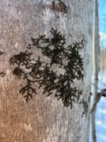
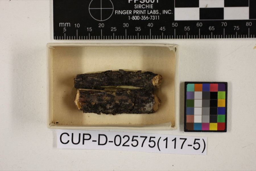
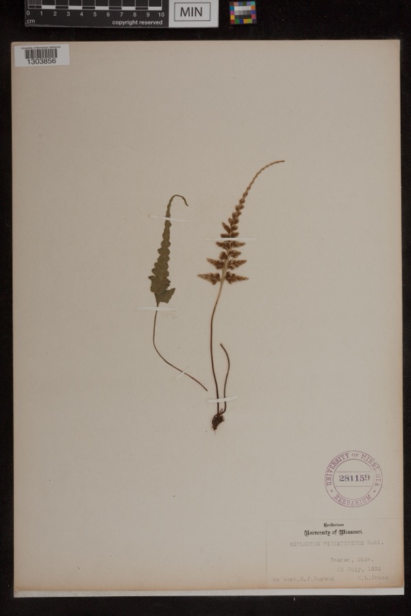
sighting. Held by OSUC, Ohio State University - Fish Division, Columbus, OH (OSUM), CM, Ohio State University - Bird Division, Columbus, OH (OSUM), Ohio State University - Amphibian Division, Columbus, OH (OSUM), INHS among others, and each settlement page carries
the specimens collected near it.
The oldest of them. A specimen proves
something was collected on that day; its absence proves nothing.
1794. History of Muskingum County, Ohio, with Illustrations and Biographical Sketches of Prominent Men and Pioneers devotes a chapter to each township:
its boundaries and streams, who settled it and when, the mills, the
schools and the churches. All 24 are reproduced here in full. Each row
shows the township's own shape and where it lies in the county, drawn from
the Census Bureau's boundary. Which settlements belong to which township
is computed from that same boundary, not taken from the book.
Everyone 1794. History of Muskingum County, Ohio, with Illustrations and Biographical Sketches of Prominent Men and Pioneers stops to write about, with
the section that describes them. Among them are the men who founded the
place and governed the Territory. Each name opens the passage itself, in
the words of 1882.
Named settlements recorded in the Geographic Names
Information System, each with the topographic sheets covering it. Villages,
hamlets and abandoned places alike. Each is shown with the watercourse or
landform it stands on and the survey quadrangle it falls on. The 6
places that were also surveyed for fire insurance come first, with the
number of atlases and photographs held for them.
The complete index, with nothing left out.
Each of these is a separate record with its own page: a federal survey
report, or the case file that argued a property on to the National
Register. Both are public domain and reproduced word for word.
Topographic sheets. USGS Historical Topographic Map Collection, county index, measured from the bulk metadata.
Fire insurance maps. Library of Congress Sanborn collection, faceted to this county.
Photographs. Each place queried individually against the Library of Congress Prints and Photographs search.
Wildfire. Short, Karen C. 2022. Spatial wildfire occurrence data for the United States, 1992-2020 [FPA_FOD_20221014]. 6th Edition. Fort Collins, CO: Forest Service Research Data Archive. https://doi.org/10.2737/RDS-2013-0009.6 Collected with United States Government funding and usable without additional permissions or fees.
Specimens. Global Biodiversity Information Facility (GBIF), https://www.gbif.org/. Only records licensed CC0 or CC BY are used. Records licensed CC BY-NC are excluded because this site carries advertising. Images are checked individually and any whose licence is non-commercial, no-derivatives or unreadable is refused.
Mines and quarries. USGS Mineral Resources Data System (MRDS) https://mrdata.usgs.gov/mrds/ A work of the United States government, no copyright under 17 U.S.C. 105.
Storms. NOAA National Centers for Environmental Information, Storm Events Database https://www.ncei.noaa.gov/stormevents/ A work of the United States government, no copyright under 17 U.S.C. 105. Narratives are quoted verbatim from the National Weather Service report and are not edited or summarised.
 Block
Block