Listed on the National Register of Historic Places in
2000. A historic map-sheet match is not published yet. The record needs a coordinate-quality review before it can be joined to a sheet boundary.
From the record
“But the particular pet of Euclid seems to have been the rattlesnake. All the old settlers ment on the great numbers of these reptiles to be found in early times in the ravines of the main ridge and among the rocks farther back.”
History of Cuyahoga County Ohio (1870). Machine-read text.
one of 338 National Register listings in Cuyahoga County · listed in 2000 · category: Building · one of 3 National Historic Landmarks in Cuyahoga County.
National Register reference number.00000097- the number the National Park Service assigned this property when it was listed, and the key its nomination file is catalogued under at the National Archives.
The ground it stands on
6,716 words
The chapter on Euclid City in History of Cuyahoga County Ohio, published 1870 names Euclid. This is what it says, exactly as the scans read.
The education of the principal surveyors having been chiefly mathematical, they agreed to call their township by the name of the great mathematician, Euclid. The name has ever since been retained, being applied first to the survey-township and then to the civil township covering the same territory. The western and southwestern parts have since been taken off, to form part of the township of East Cleveland; leaving Euclid an irregular tract, with an eastern boundary nearly nine miles long, a southern one less than three miles long, and a northwestern one (on the lake shore) about six miles long. This sketeh is intended to give the history of the territory now comprising Euclid, leaving the remainder of the old township of that name to be treated of under the head of East Cleveland, though it will occasionally be necessary to allude to incidents and persons on the west side of the lie between those two townships.
The first permanent settler in Euclid township was Joseph Burke, a native of Vermont and a drummer in the Revolutionary army. He was not one of the forty-one employees who made thé contract with Gen. Cleaveland, in 1796, though he may have belonged to the survey-corps the next year. He settled in 1798 or 799 on the east line of the township, north of and adjoining the land taken up by Morse. Burke's cabin was on the main road, which had been opened from Cleveland to the Pennsylvania line, at the foot of the ridge, to the extent of girdling the trees on a space two rods wide, and cutting out what little underbrush there was. It could not be traveled in a wagon without an axe to remove obstructions.
Regional context, not property-specific
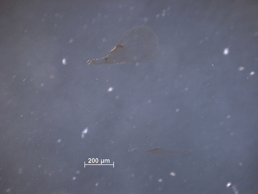
evidence. Museums hold 2,403 specimens
collected within 10 miles of Shore High School between 1863 and
1975: 2,319 Animalia, 60 Plantae, 23 Fungi, 1 Unrecorded. 12 distinct Species records are shown.
Collected by A. D. Huryn, A. W. Walworth, A. Woolman and others. Each is a
physical object with a catalogue
number, and each entry opens the museum's record. This is what was
collected and kept, not a survey of what lives here - nothing can be
concluded from a species being absent.
Regional context, not property-specific
evidence. The federal mineral resources record lists
4 workings within 5 miles of Shore High School: 2 unknowns, 2 producers.
2 still produce. What was taken out: Tungsten, Zirconium, Zinc, Tungsten, Molybdenum, Abrasive, Silica. Distance is straight-line from the
map coordinates, so a quarry counted here may appear on a neighbouring
settlement's page as well.
Regional context, not property-specific
evidence. The National Weather Service names
Euclid, the town this property stands in, in 21 storm reports between 1996 and 2025: 11 hail, 5 thunderstorm wind, 3 flash flood, 1 lightning.
No death or injury is recorded in these reports. Each account below is quoted exactly as the forecast office
filed it, from the NOAA Storm Events Database, and each date
opens the federal record of that event.
Heavy thunderstorm rains fell on the far northeastern corner of Cuyahoga County during the evening hours of July 27th. Significant flooding was reported in Euclid throughout the evening. Spotters in Euclid measured storm totals of 7.75 inches and 6.08 inches. A lot of street flooding occurred which severely hampered traffic. Several underpasses were reported to have as much as 6 to 8 feet water in them. Nearly two feet of water was reported near the intersection of East 280th and Lloyd Road. Water was observed shooting out of manhole covers to heights greater than six feet. Hundreds of homes in Euclid sustained damage, mainly from basement flooding. Several vehicles were stranded in the flood waters.
Between 4 and 7 AM rainfall amounts between 2 and 2.5 inches fell across the City of Cleveland and much of Cuyahoga County. This disrupted morning commutes with widespread road closures. Cars were stuck in high water on Jennings Road in Cleveland. Roads that were closured due to flooding include; I-90 EB closed to Innerbelt and I-71/Jennings SB, MLK Jr. Dr. SB just south of I-90, MLK Jr. Dr. SB between East Blvd & Liberty Rd, I-90 at W 44th St., I-90 West at Mckinley Ave, W. 150 closed just north of I-480, I-90 WB at Mckinley, W. 117th at Madison Avenue, Pepper Pike Gates Mill Blvd, and Coit and E. 131st St.
No historic map-sheet match is published
for this property yet. That does not mean no map exists. This record needs
a coordinate-quality review before it can be joined to a sheet boundary.
Browse the county's mapped places while that work is
pending.
From the nomination file
7,048 words on record
When this property was proposed for the
National Register, someone wrote the case for it: what the building is,
and why it matters. That document is a federal record in the public domain.
It is quoted below word for word, never summarised. The text was read off the scanned case file by machine, so the
occasional stray character is the recogniser's and the 1970s
typewriter's.
Statement of significance
Areas of Significance for National Register listing.) - A Property is associated with events that have made B Property is associated with the lives of persons XXC Property embodies the distinctive characteristics represents the work of a master, or possesses high artistic values, or represents a significant and individual distinction. information important in prehistory or history. (Mark "x" in all the boxes that apply.) 1913, 1918, 1920, 1922, 1925, 1929-1930, 1947 -A owned by a religious institution or used for - B removed from its original location. - C a birthplace or grave. - D a cemetery. - E a reconstructed building, object, or structure. - F a commemorative property. within the past 50 years. Warner, Franz C. Narrative Statement of Significance 9.
Quoted from the National Register nomination
for reference 00000097, 40 pages, held by the National Archives in Record
Group 79. See the
catalogue record.
Listed places nearby
6 within 8 miles
Other National Register properties close
enough to walk or drive between, ordered by distance from this one. Both
positions come from the same geocoding pass that matched these properties
to their map sheets.
Listing record. National Park Service National Register of Historic Places, listed-properties dataset, current to 2026-05-22.
Map join. Address geocoded through the United States Census geocoder, then tested against the published boundary of every sheet in the USGS Historical Topographic Map Collection.
How this page is made. Listing fields come from federal records; map-sheet coverage is a labelled coordinate-to-boundary calculation, not a source-field claim.
Specimens. Global Biodiversity Information Facility (GBIF), https://www.gbif.org/. Only records licensed CC0 or CC BY are used. Records licensed CC BY-NC are excluded because this site carries advertising. Images are checked individually and any whose licence is non-commercial, no-derivatives or unreadable is refused.
Mines and quarries. USGS Mineral Resources Data System (MRDS) https://mrdata.usgs.gov/mrds/ A work of the United States government, no copyright under 17 U.S.C. 105.
Storms. NOAA National Centers for Environmental Information, Storm Events Database https://www.ncei.noaa.gov/stormevents/ A work of the United States government, no copyright under 17 U.S.C. 105. Narratives are quoted verbatim from the National Weather Service report and are not edited or summarised.
 Block
Block