Listed on the National Register of Historic Places in
1978. A historic map-sheet match is not published yet. The record needs a coordinate-quality review before it can be joined to a sheet boundary.
From the record
one of 338 National Register listings in Cuyahoga County · listed in 1978 · category: Building · one of 3 National Historic Landmarks in Cuyahoga County.
National Register reference number.78002044- the number the National Park Service assigned this property when it was listed, and the key its nomination file is catalogued under at the National Archives.
Specimens collected near this property
12 of 4,018 shown
Regional context, not property-specific
evidence. Museums hold 4,018 specimens
collected within 10 miles of First Church of Christ in Euclid between 1850 and
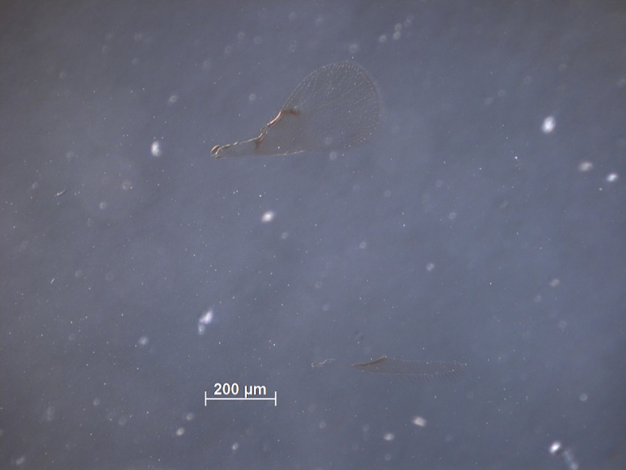
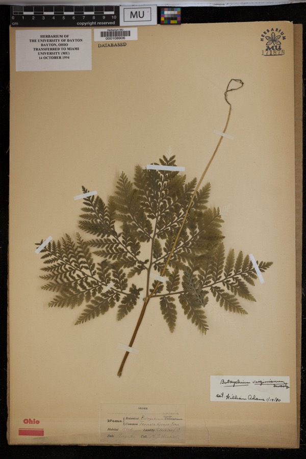
1975: 3,595 Animalia, 219 Fungi, 126 Plantae, 72 Protozoa, 5 Unrecorded, 1 Chromista. 12 distinct Species records are shown.
Collected by A. D. Huryn, A. Hall, A. Newhall and others. Each is a
physical object with a catalogue
number, and each entry opens the museum's record. This is what was
collected and kept, not a survey of what lives here - nothing can be
concluded from a species being absent.
Regional context, not property-specific
evidence. The federal mineral resources record lists
2 workings within 5 miles of First Church of Christ in Euclid: 2 unknowns.
None of them still produces. What was taken out: Tungsten, Zirconium, Zinc, Tungsten, Molybdenum. Distance is straight-line from the
map coordinates, so a quarry counted here may appear on a neighbouring
settlement's page as well.
Regional context, not property-specific
evidence. The National Weather Service names
East Cleveland, the town this property stands in, in 17 storm reports between 1997 and 2025: 15 thunderstorm wind, 1 waterspout, 1 flash flood.
No death or injury is recorded in these reports. Each account below is quoted exactly as the forecast office
filed it, from the NOAA Storm Events Database, and each date
opens the federal record of that event.
2 papers published in this town,
digitised by the Library of Congress and free to read: 0 issues,
0 pages. Every page is searchable, so a name or a street can be
looked for directly in what the town printed about itself at the time.
No historic map-sheet match is published
for this property yet. That does not mean no map exists. This record needs
a coordinate-quality review before it can be joined to a sheet boundary.
Browse the county's mapped places while that work is
pending.
From the nomination file
1,472 words on record
When this property was proposed for the
National Register, someone wrote the case for it: what the building is,
and why it matters. That document is a federal record in the public domain.
It is quoted below word for word, never summarised. The text was read off the scanned case file by machine, so the
occasional stray character is the recogniser's and the 1970s
typewriter's.
Description of the property
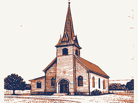
tresses, crenellated parapets, and pinnacles. Most of the windows have around a central meeting hall. more elaborate oak detail. CONDITION sandstone structure with an attached educational and administrative wing.
UNEXPOSED MOVED DESCRIPTION the enclosing of a side entrance, the remodeling of the classroom wing, UNALTERED XALTERED entrance doors with transoms, pointed-arch belfry openings, corner but- XGOOD the addition of a modern canopy over a rear entrance, and the construc- FAIR brackets, and a sloping floor with curved pews and vertically boarded and two flanking entrance towers.Each tower has a stone stoop, double The First United Presbyterian Church of East Cleveland is a rectangular openings, and paired double-hung second floor windows with dressed lin- wainscoting.The chancel, which is lit by a stained-glass skylight, has architectural character remains intact. bulky forms and simplified ashlar surfaces recall the earlier Richardson Romanesque style.
Although designed in the English Perpendicular Gothic mode, the building's The various alterations and additions are unobtrusive.These include The facade features a gabled parapet, three central pointed-arch windows, CHECK ONE wing has a broad hip-roof, wall buttresses, attenuated ground floor The interior of the nave featuresa ceiling of arcaded trusses and curved DATE. - RUINS beveled sills, wide dressed voussoirs, and hoodmolds. The educational tels and sills.The classrooms are arranged in a modified "Akron plan" AREAS OF
Statement of significance
As the oldest religious institution in Greater Cleveland and one of the first of East Cleveland has ties with the early settlement and development of tion of Richardson Romanesque form and English Gothic detail. ship formed the "Plan of Union" Church under Reverend William Wick, Their 1og church, finished on March 10, 1810, was the first in the township and one in the community. One such person, famed inventor Charles F. Brush, gave the money for the church's baptismal font in 1907. The church was remodeled in 1946 and 1955. In 1962, a new wing was constructed after an unprecedented as the graves remained undisturbed.
1700-1799 ARCHEOLOGY-HISTORIC XRELIGION ART SIGNIFICANCE PERIOD LAW SCULPTURE XARCHITECTURE XEXPLORATION/SETTLEMENT AGRICULTURE MILITARY X1800-1899 LITERATURE court decision which allowed the church to build over its cemetery as long Designed by the noted builder, Calvin Hoadley, it was the first such structure Euclid Township.The building's design also offers an interesting combina- _POLITICS/GOVERNMENT The congregation continued to attract members of considerable prominence 1400-1499 housed within an architectural design of considerable interest, the church is a significant landmark in the community.
On August 27,1807,the Presbyterians and Congregationalists in Euclid Town- Society of Euclid was organized under Reverend William H.Beecher, brother The First United Presbyterian Church of East Cleveland has met continuously INVENTION ty and the present stone structure begun under the direction of Cleveland -TRANSPORTATION of the earliest in the Western Reserve.Its membership included the area's _ENGINEERING in what was to become Cuyahoga County.In 1826,the First Presbyterian earliest settlers.In 18l6,the congregation constructed a white frame church. - EDUCATION of New England's Henry Ward Beecher. -1500-1599 architect William Warren Sabin.It was completed in 1895 at a cost of $36,000.
Quoted from the National Register nomination
for reference 78002044, 11 pages, held by the National Archives in Record
Group 79. See the
catalogue record.
Listed places nearby
6 within 8 miles
Other National Register properties close
enough to walk or drive between, ordered by distance from this one. Both
positions come from the same geocoding pass that matched these properties
to their map sheets.
Listing record. National Park Service National Register of Historic Places, listed-properties dataset, current to 2026-05-22.
Map join. Address geocoded through the United States Census geocoder, then tested against the published boundary of every sheet in the USGS Historical Topographic Map Collection.
How this page is made. Listing fields come from federal records; map-sheet coverage is a labelled coordinate-to-boundary calculation, not a source-field claim.
Specimens. Global Biodiversity Information Facility (GBIF), https://www.gbif.org/. Only records licensed CC0 or CC BY are used. Records licensed CC BY-NC are excluded because this site carries advertising. Images are checked individually and any whose licence is non-commercial, no-derivatives or unreadable is refused.
Mines and quarries. USGS Mineral Resources Data System (MRDS) https://mrdata.usgs.gov/mrds/ A work of the United States government, no copyright under 17 U.S.C. 105.
Storms. NOAA National Centers for Environmental Information, Storm Events Database https://www.ncei.noaa.gov/stormevents/ A work of the United States government, no copyright under 17 U.S.C. 105. Narratives are quoted verbatim from the National Weather Service report and are not edited or summarised.
 Block
Block