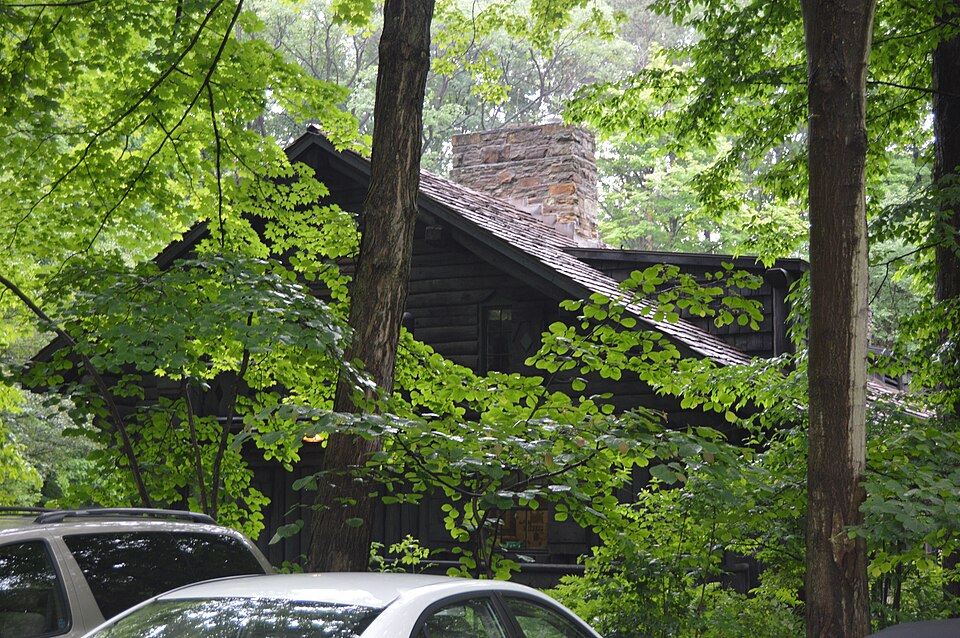
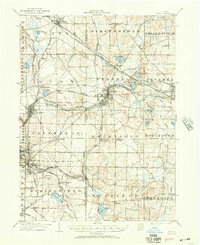
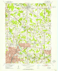
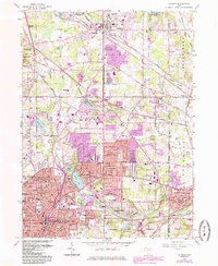
Listed on the National Register of Historic Places in 2006. 8 historic topographic surveys show this location, the earliest from 1906.
From the record
“Applicable National Register Criteria County and State G less than50yearsof age or achieved significance within the past50years. Name of Property Areas of Significance Cuyahoga County, Ohio Name of Property”
Narrative Statement of Significance, National Register nomination for Look About Lodge. Machine-read text.
One of 426 National Register listings published here for Cuyahoga County · listed in 2006 · category: Building.
National Register reference number.06000271- the number the National Park Service assigned this property when it was listed, and the key its nomination file is catalogued under at the National Archives.
Fires near this property
2 since 1994
Regional context, not property-specific
evidence. The
federal wildfire occurrence database
lists 2 fires within 5 miles of Look About Lodge
in 1994, burning under an acre in total. None started naturally. None was recorded as arson.
Distance is straight-line from the map coordinates, so a fire counted
here may appear on a neighbouring settlement's page as well.
Reported cause
Fires
Recreation and ceremony
1
Debris and open burning
1
The most recent of
them, most recent first, with the day each was reported and the service
that recorded it.
Regional context, not property-specific
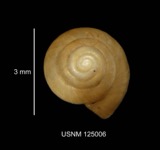
evidence. Museums hold 365 specimens
collected within 10 miles of Look About Lodge between 1877 and 1966: 360 Animalia, 3 Plantae, 2 Fungi.
12 distinct Species records are shown.
Collected by A. Hall, Adams J. M. R., Armbruster, D. C. (Daniel C.) and others. Each is a
physical object with a catalogue
number, and each entry opens the museum's record. This is what was
collected and kept, not a survey of what lives here - nothing can be
concluded from a species being absent.
Regional context, not property-specific
evidence. The federal mineral resources record lists
5 workings within 5 miles of Look About Lodge: 3 producers, 2 past producers.
3 still produce. What was taken out: Sand and Gravel, Construction. Distance is straight-line from the
map coordinates, so a quarry counted here may appear on a neighbouring
settlement's page as well.
Regional context, not property-specific
evidence. The National Weather Service names
Bentleyville, the town this property stands in, in 4 storm reports between 2006 and 2026: 2 flash flood, 1 hail, 1 thunderstorm wind.
No death or injury is recorded in these reports. Each account below is quoted exactly as the forecast office
filed it, from the NOAA Storm Events Database, and each date
opens the federal record of that event.
Intense, short duration rainfall event produced flash flooding in Chagrin Falls. Radar estimated 2 to 2.5 inches of rain fell in a 60 to 90 minute period, with a rain gauge measurement in Chagrin Falls of 2.1 inches of rain in less than one hour. Widespread street flooding was observed, including Solon Road and Monticello Drive near the Chagrin River, South Main Street and South Street in the southern portion of Chagrin Falls, and Bell Street near downtown Chagrin Falls. A few reports of flooded basements due to both flooded creeks and sewer backup.
Torrential rainfall with rates estimated around 3 inches per hour brought a rapid 2 inches of water to southern Cuyahoga County between 300 and 430 PM. Solon Road was closed due to flooding between Eldridge and Randolph in Bedford Heights with over 3 feet of water at the intersection with a few cars stranded. Liberty Road closed due to flooding at Derby Downs but this area is under construction with the road bed lowered and drains covered.
United States Geological Survey topographic
sheets whose coverage includes this point. Matched by taking the coordinate the National Park Service records for this property, then
testing that coordinate against the published boundary of every sheet.
When this property was proposed for the
National Register, someone wrote the case for it: what the building is,
and why it matters. That document is a federal record in the public domain.
It is quoted below word for word, never summarised. The text was read off the scanned case file by machine, so the
occasional stray character is the recogniser's and the 1970s
typewriter's.
Statement of significance
(Mark "X" in one or more boxes for the criteria qualifying the property for National Register listing.) A Property is associated with events that have made a significant contribution to the broad patterns of our B Property is associated with the lives of persons significant in our past. X C Property embodies the distinctive characteristics of a type, period, or method of construction or represents the work of a master, or possesses high artistic values, or represents a significant and distinguishable entity whose D Property has yielded, or is likely to yield, information important in prehistory or history. (Mark "X" in all the boxes that apply.) Property is: A owned by a religious institution or used for religious purposes. B removed from its original location. C a birthplace or grave.
D a cemetery. E a reconstructed building, object, or structure. F a commemorative property. 1938 - 1955 Anton George Nosek Jr., of Fitzwater Road, Brecksville, Ohio. See Continuation sheets Section 8, pages 1-4. history. Education Architecture Architect/Builder Criteria Considerations Significant Dates Period of Significance Narrative Statement of Significance components lack individual distinction. Applicable National Register Criteria County and State G less than50yearsof age or achieved significance within the past50years. Name of Property Areas of Significance Cuyahoga County, Ohio Name of Property 9.
Quoted from the National Register nomination
for reference 06000271, 42 pages, held by the National Archives in Record
Group 79. See the
catalogue record.
Listing record. National Park Service National Register of Historic Places, listed-properties dataset, current to 2026-05-22.
Map join. Address geocoded through the United States Census geocoder, then tested against the published boundary of every sheet in the USGS Historical Topographic Map Collection.
How this page is made. Listing fields come from federal records; map-sheet coverage is a labelled coordinate-to-boundary calculation, not a source-field claim.
Wildfire. Short, Karen C. 2022. Spatial wildfire occurrence data for the United States, 1992-2020 [FPA_FOD_20221014]. 6th Edition. Fort Collins, CO: Forest Service Research Data Archive. https://doi.org/10.2737/RDS-2013-0009.6 Collected with United States Government funding and usable without additional permissions or fees.
Specimens. Global Biodiversity Information Facility (GBIF), https://www.gbif.org/. Only records licensed CC0 or CC BY are used. Records licensed CC BY-NC are excluded because this site carries advertising. Images are checked individually and any whose licence is non-commercial, no-derivatives or unreadable is refused.
Mines and quarries. USGS Mineral Resources Data System (MRDS) https://mrdata.usgs.gov/mrds/ A work of the United States government, no copyright under 17 U.S.C. 105.
Storms. NOAA National Centers for Environmental Information, Storm Events Database https://www.ncei.noaa.gov/stormevents/ A work of the United States government, no copyright under 17 U.S.C. 105. Narratives are quoted verbatim from the National Weather Service report and are not edited or summarised.
 Block