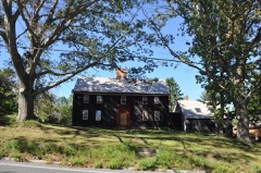
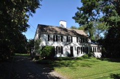
Listed on the National Register of Historic Places in
2008. A historic map-sheet match is not published yet. The record needs a coordinate-quality review before it can be joined to a sheet boundary.
From the record
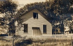
“The Macy-Colby House is a historically significant saltbox house at 257 Main Street in Amesbury, Massachusetts. It is a historic house museum and has been listed on the National Register of Historic Places since 2008.”
Wikipedia article Macy-Colby House, CC BY-SA 4.0.
one of 350 National Register listings in Essex County · listed in 2008 · category: Building · one of 2 National Historic Landmarks in Essex County.
Architectural style. American colonial architecture
National Register reference number.08000531- the number the National Park Service assigned this property when it was listed, and the key its nomination file is catalogued under at the National Archives.
ESSEX county, Massachusetts, is thickly dotted with active manufacturing centres, and each apparently devotes itself to special branches of productions. Among these should be classed Amesbury, widely known for the manufacture of carriages. The village is located in the extreme northern section of the county, on a branch of the Merrimack river, and on the Eastern railroad, now leased and operated by the Boston and Maine railroad. It is forty miles northeast from Boston, six miles northwest from Newburyport, and seven miles northeast from Haverhill. The country about Amesbury contains much fine scenery, and the views from the hills are delightful. The stream is navigable for vessels of three hundred tons, and in former years considerable attention was paid to mackerel fisheries off the coast. Among the prominent residents of the section was Joseph Bartlett, M. D., one of the signers of the Declaration of Independence, who was born in 1738. He was Governor of New Hampshire from 1790 to 1793. Amesbury has a population of near three thousand five hundred. The following descriptive articles make mention of the leading industries of the place :
C. X. Dennett, Sole Manufacturer and Patentee of the Dennett Standing Extension Top Jump-Seat and Sleigh. - Founded in 1876, the carriage factory of Mr. C. N. Dennett has attained a high reputation for the superiority of its products, which embrace all kinds of light carriages - a specialty being made of the patent Dennett jump-seat carriages and sleighs the invention of Mr. C. N. Dennett. Mr. Dennett, who is a native of Massachusetts, and acquired a knowledge of his trade in Merrimack, has a well-equipped factory, employs a large force of hands, and controls the largest business in his line in Amesbury. He does not attempt to cope with competitors in the production of cheap goods, but makes it the principal object to produce only the best kind of work. Parties who do not want to keep but one carriage, and would like something that can be changed with perfect ease from a one to a twoseated carriage, will find the " Dennett" to be just the style they are looking for. When adjusted for one seat it makes a light, handsome canopy top sunshade, and by simply swinging the main seat back and turning out the inside seat, the carriage is changed at once to a two-seated carryall, with plenty of room for four persons. The room between the seats is easy and comfortable, the front seat being the same depth and width as the back seat - a feature not found in any other jump seat. Only the best materials are used in the manufacture of these seats, and the latter are protected by patents granted in 1876 and 1860. Mr. Dennett has also recently invented, and is now manufacturing, a new jump-seat buggy, for which a patent has been applied for, and which it is claimed is the best in the market. The manner of shifting the top back and forth is on a new and novel plan. The top can be shifted with one hand, in the easiest manner possible, standing on one side of the carriage. The front seat can be adjusted to same width as back seat, so that two large persons can ride side by side without being crowded for room. The manufactures of this house are shipped to all parts of the country and also abroad.
Regional context, not property-specific
evidence. The
federal wildfire occurrence database
lists 74 fires within 5 miles of Macy-Colby House between
1994 and 2020, burning about 31 acres in total. None started naturally. 10 were recorded as arson.
Distance is straight-line from the map coordinates, so a fire counted
here may appear on a neighbouring settlement's page as well.
Reported cause
Fires
Debris and open burning
17
Equipment and vehicle use
12
Arson/incendiarism
10
Missing data/not specified/undetermined
9
Recreation and ceremony
9
Misuse of fire by a minor
6
Smoking
5
Power generation/transmission/distribution
3
Fireworks
2
Railroad operations and maintenance
1
The most recent of
them, most recent first, with the day each was reported and the service
that recorded it.
Regional context, not property-specific
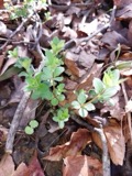
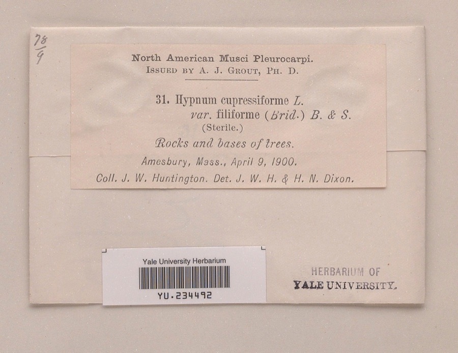
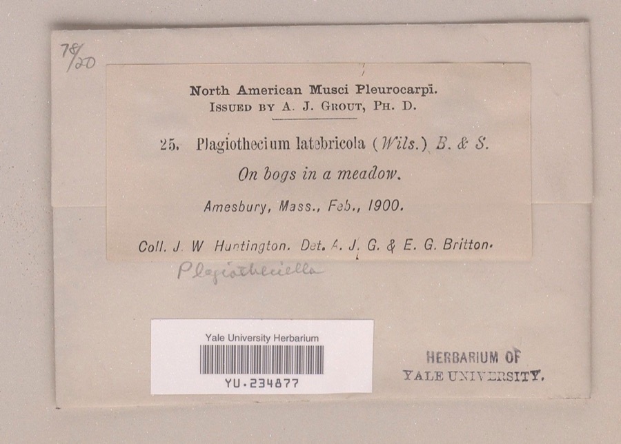
evidence. Museums hold 1,861 specimens
collected within 10 miles of Macy-Colby House between 1800 and
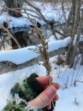
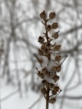
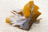
1975: 1,166 Plantae, 546 Animalia, 71 Chromista, 68 Fungi, 5 Protozoa, 3 Unrecorded, 2 Bacteria. 12 distinct Species records are shown.
Collected by A A Eaton, A Brown, A. A. Eaton and others. Each is a
physical object with a catalogue
number, and each entry opens the museum's record. This is what was
collected and kept, not a survey of what lives here - nothing can be
concluded from a species being absent.
Regional context, not property-specific
evidence. The federal mineral resources record lists
11 workings within 5 miles of Macy-Colby House: 10 past producers, 1 producer.
1 still produces. What was taken out: Sand and Gravel, Construction, Lead, Silver, Zinc, Copper, Gold, Silver. Distance is straight-line from the
map coordinates, so a quarry counted here may appear on a neighbouring
settlement's page as well.
Regional context, not property-specific
evidence. The National Weather Service names
Amesbury, the town this property stands in, in 12 storm reports between 1999 and 2018: 10 thunderstorm wind, 2 lightning.
No death or injury is recorded in these reports. Each account below is quoted exactly as the forecast office
filed it, from the NOAA Storm Events Database, and each date
opens the federal record of that event.
No historic map-sheet match is published
for this property yet. That does not mean no map exists. This record needs
a coordinate-quality review before it can be joined to a sheet boundary.
Browse the county's mapped places while that work is
pending.
Listed places nearby
6 within 8 miles
Other National Register properties close
enough to walk or drive between, ordered by distance from this one. Both
positions come from the same geocoding pass that matched these properties
to their map sheets.
Listing record. National Park Service National Register of Historic Places, listed-properties dataset, current to 2026-05-22.
Map join. Address geocoded through the United States Census geocoder, then tested against the published boundary of every sheet in the USGS Historical Topographic Map Collection.
How this page is made. Listing fields come from federal records; map-sheet coverage is a labelled coordinate-to-boundary calculation, not a source-field claim.
Wildfire. Short, Karen C. 2022. Spatial wildfire occurrence data for the United States, 1992-2020 [FPA_FOD_20221014]. 6th Edition. Fort Collins, CO: Forest Service Research Data Archive. https://doi.org/10.2737/RDS-2013-0009.6 Collected with United States Government funding and usable without additional permissions or fees.
Specimens. Global Biodiversity Information Facility (GBIF), https://www.gbif.org/. Only records licensed CC0 or CC BY are used. Records licensed CC BY-NC are excluded because this site carries advertising. Images are checked individually and any whose licence is non-commercial, no-derivatives or unreadable is refused.
Mines and quarries. USGS Mineral Resources Data System (MRDS) https://mrdata.usgs.gov/mrds/ A work of the United States government, no copyright under 17 U.S.C. 105.
Storms. NOAA National Centers for Environmental Information, Storm Events Database https://www.ncei.noaa.gov/stormevents/ A work of the United States government, no copyright under 17 U.S.C. 105. Narratives are quoted verbatim from the National Weather Service report and are not edited or summarised.
 Block
Block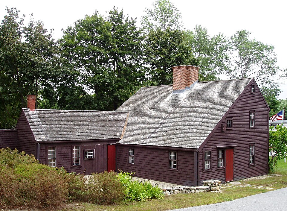


_2701.JPG)