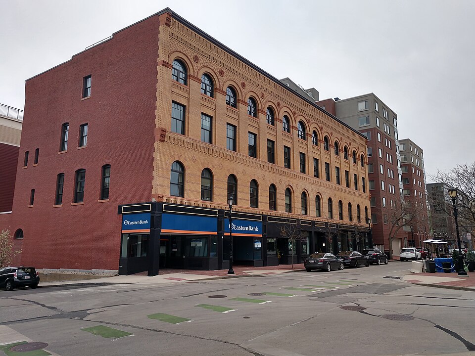
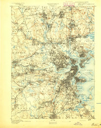
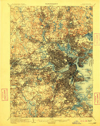
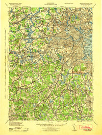
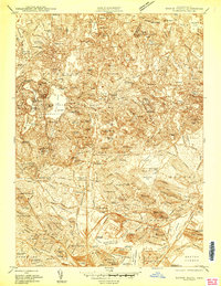
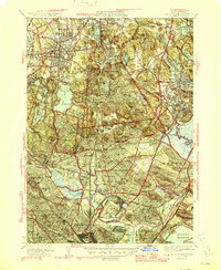
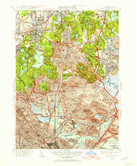
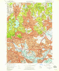
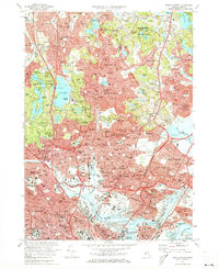
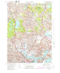
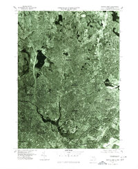
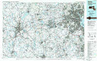
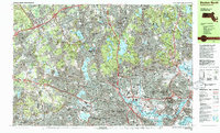
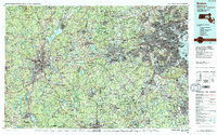
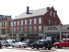
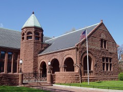
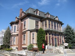
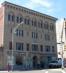
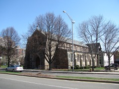
Built in 1894 (Neoclassical architecture). Listed on the National Register of Historic Places in 2022. 17 historic topographic surveys show this location, the earliest from 1893.
From the record
One of 1,353 National Register listings published here for Middlesex County · listed in 2022 · category: Building · built in 1894, Neoclassical architecture, by Hartwell and Richardson.
Malden Medical Improvement Society. - This society Was instituted in 1888, but it was really an outgrowth of the Holmes Medical Club, which w.os started in the city of Maiden some ten years ago, and included the select phy.sicians of Maiden, Medford, Melrose and Stoneham. This society is conducted on the same plan .as the State Medical Society, meeting monthly, when essays and i)apers are read. There is also a presentation of cases. In the winter of 1889, there was given a course of lectures worthy of note. In this society was born the idea of the Maiden City Hospital ; and when Deacon Converse was asked what he could do to help embody the idea, he responded nobly by giving $10,000 in cash, and several -acres of beautiful land. .John L. Sullivan is the present president of the society ; John B. Mahoney, secretary ; Godfrey Ryder, treasurer.
Malden Industrial Aid Society. - This society w:is organized in 1875, the year of the great fire at the R iblier Works. Its object, as stated in the constitution 9 to relieve and prevent destitution, by renderin j; I'rompt, efficient, and judicious aid to the deserving, necessitous poor in our own town ; and to encourage thrift, by endeavoring to cultivate the self-respect and self-reliance of those to whom aid is rendered.
Regional context, not property-specific
evidence. The
federal wildfire occurrence database
lists 100 fires within 5 miles of Browne-Masonic Building
between 2015 and 2020, burning about 116 acres in total. None started naturally. 31 were recorded as arson.
Distance is straight-line from the map coordinates, so a fire counted
here may appear on a neighbouring settlement's page as well.
Reported cause
Fires
Arson/incendiarism
31
Missing data/not specified/undetermined
26
Recreation and ceremony
16
Debris and open burning
15
Smoking
8
Misuse of fire by a minor
2
Power generation/transmission/distribution
1
Equipment and vehicle use
1
The most recent of
them, most recent first, with the day each was reported and the service
that recorded it.
Regional context, not property-specific
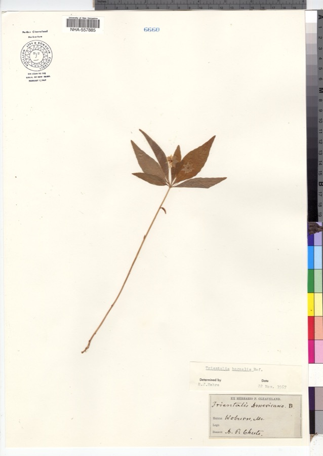
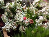
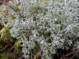
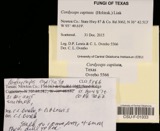
evidence. Museums hold 1,659 specimens
collected within 10 miles of Browne-Masonic Building between 1898 and 1975: 734 Animalia, 504 Plantae, 360 Fungi, 26 Protozoa, 17 Bacteria, 10 Chromista, 8 Unrecorded.
12 distinct Species records are shown.
Collected by ?, A B Seymour, A B. Proper and others. Each is a
physical object with a catalogue
number, and each entry opens the museum's record. This is what was
collected and kept, not a survey of what lives here - nothing can be
concluded from a species being absent.
Regional context, not property-specific
evidence. The federal mineral resources record lists
16 workings within 5 miles of Browne-Masonic Building: 9 plants, 4 past producers, 2 producers, 1 unknown.
11 still produce. What was taken out: Stone, Crushed/Broken, Iron, Lead, Gypsum-Anhydrite. Distance is straight-line from the
map coordinates, so a quarry counted here may appear on a neighbouring
settlement's page as well.
Regional context, not property-specific
evidence. The National Weather Service names
Malden, the town this property stands in, in 6 storm reports between 2007 and 2021: 4 thunderstorm wind, 2 flood.
No death or injury is recorded in these reports. Each account below is quoted exactly as the forecast office
filed it, from the NOAA Storm Events Database, and each date
opens the federal record of that event.
In Malden, a tree was down on a car on Clinton Street. In Medford, a tree was down on Cushing Street. Also in Medford, a tree was down on Carberry Street. A tree and wires were down and leaning on a house on Governor's Avenue.
United States Geological Survey topographic
sheets whose coverage includes this point. Matched by taking the coordinate the National Park Service records for this property, then
testing that coordinate against the published boundary of every sheet.
Other National Register properties close
enough to walk or drive between, ordered by distance from this one. Both
positions come from the same geocoding pass that matched these properties
to their map sheets.
Listing record. National Park Service National Register of Historic Places, listed-properties dataset, current to 2026-05-22.
Map join. Address geocoded through the United States Census geocoder, then tested against the published boundary of every sheet in the USGS Historical Topographic Map Collection.
How this page is made. Listing fields come from federal records; map-sheet coverage is a labelled coordinate-to-boundary calculation, not a source-field claim.
Wildfire. Short, Karen C. 2022. Spatial wildfire occurrence data for the United States, 1992-2020 [FPA_FOD_20221014]. 6th Edition. Fort Collins, CO: Forest Service Research Data Archive. https://doi.org/10.2737/RDS-2013-0009.6 Collected with United States Government funding and usable without additional permissions or fees.
Specimens. Global Biodiversity Information Facility (GBIF), https://www.gbif.org/. Only records licensed CC0 or CC BY are used. Records licensed CC BY-NC are excluded because this site carries advertising. Images are checked individually and any whose licence is non-commercial, no-derivatives or unreadable is refused.
Mines and quarries. USGS Mineral Resources Data System (MRDS) https://mrdata.usgs.gov/mrds/ A work of the United States government, no copyright under 17 U.S.C. 105.
Storms. NOAA National Centers for Environmental Information, Storm Events Database https://www.ncei.noaa.gov/stormevents/ A work of the United States government, no copyright under 17 U.S.C. 105. Narratives are quoted verbatim from the National Weather Service report and are not edited or summarised.
 Block