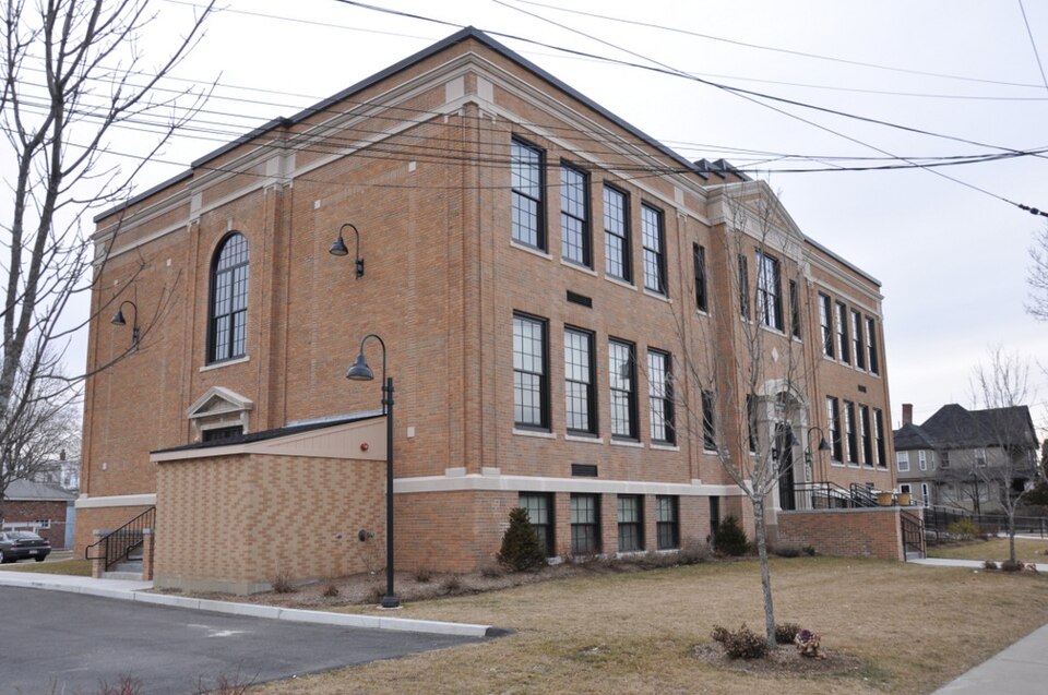
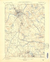
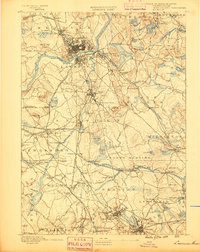
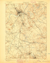
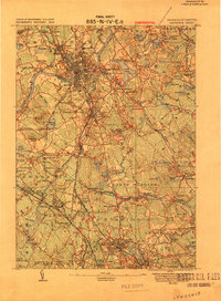
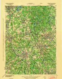
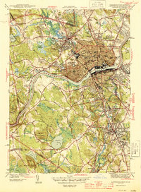
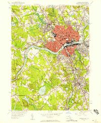
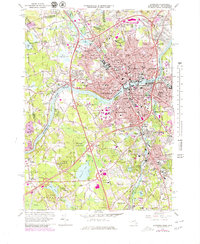
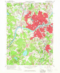
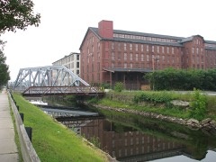
Listed on the National Register of Historic Places in 2011. 16 historic topographic surveys show this location, the earliest from 1886.
From the record
“(provide at least one paragraph for each area of significance) The Saunders School building standing today at South Broadway was constructed to replace an earlier school building located on the same lot. The earlier wood-frame school building and its freestanding annex building were destroyed in a fire; rebuilding provided the city an opportunity to construct a modern, fireproof school that could accommodate more students.”
Narrative Statement of Significance, National Register nomination for Daniel Saunders School. Machine-read text.
One of 480 National Register listings published here for Essex County · listed in 2011 · category: Building.
National Register reference number.11000266- the number the National Park Service assigned this property when it was listed, and the key its nomination file is catalogued under at the National Archives.
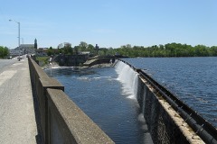
Stephen P. Simmons, a native of Rhode Island, came to Lawrence in 1847. He assisted in work on the dam, built the stone chimney of the Lawrence Machine-Shop Company, and other large amounts ot stone-work for the Essex Company. He also constructed Grace Episcopal Church, the stone church at Methuen and the foundations of the Lawrence jail.
The first cashier of the company during its earliest and busiest years was Geo. D. Cabot, who resigned in January, 185;j, and after a short period of rest became agent of the Lawrence Gas Company. He was succeeded by John R. Rollins who remained somewhat more than eleven years till the summer of 1864, when Henry H. Hall became cashier, succeeded by Hon. Robert H. Tewksbury. Present organization, - Hon. Chas. S. Storrow, president; Howard Stockton, treasurer; Hiram F. Mills, chief engineer.
Regional context, not property-specific
evidence. The
federal wildfire occurrence database
lists 87 fires within 5 miles of Daniel Saunders School
between 2002 and 2020, burning about 24 acres in total. 1 started naturally. 5 were recorded as arson.
Distance is straight-line from the map coordinates, so a fire counted
here may appear on a neighbouring settlement's page as well.
Reported cause
Fires
Missing data/not specified/undetermined
19
Smoking
18
Debris and open burning
12
Equipment and vehicle use
8
Misuse of fire by a minor
8
Recreation and ceremony
7
Power generation/transmission/distribution
5
Arson/incendiarism
5
Railroad operations and maintenance
4
Natural
1
The most recent of
them, most recent first, with the day each was reported and the service
that recorded it.
Regional context, not property-specific
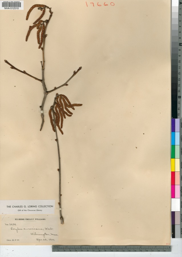
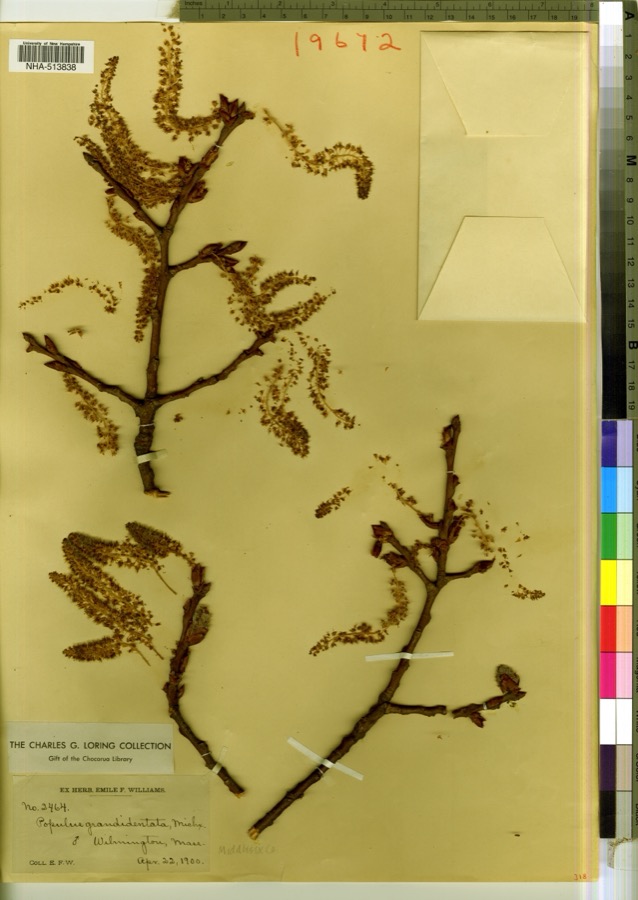
evidence. Museums hold 1,235 specimens
collected within 10 miles of Daniel Saunders School between 1816 and 1975: 722 Plantae, 375 Animalia, 120 Fungi, 5 Protozoa, 5 Bacteria, 4 Unrecorded, 4 Chromista.
12 distinct Species records are shown.
Collected by A Brown, A S Gaunt, A. C. Mathieson and others. Each is a
physical object with a catalogue
number, and each entry opens the museum's record. This is what was
collected and kept, not a survey of what lives here - nothing can be
concluded from a species being absent.
Regional context, not property-specific
evidence. The federal mineral resources record lists
9 workings within 5 miles of Daniel Saunders School: 5 past producers, 2 producers, 1 unknown, 1 plant.
3 still produce. What was taken out: Sand and Gravel, Construction, Stone, Crushed/Broken, Nickel, Gold, Silver, Copper, Perlite. Distance is straight-line from the
map coordinates, so a quarry counted here may appear on a neighbouring
settlement's page as well.
Regional context, not property-specific
evidence. The National Weather Service names
Lawrence, the town this property stands in, in 26 storm reports between 1998 and 2025: 7 flash flood, 7 thunderstorm wind, 7 flood, 3 hail.
No death or injury is recorded in these reports. Each account below is quoted exactly as the forecast office
filed it, from the NOAA Storm Events Database, and each date
opens the federal record of that event.
In Lawrence, trees were downed on Winthrop Avenue, Essex Street, Everett Street, and Methuen Street. A tree fell onto a house on Furber Street and another on Melvin Street. In North Andover, a large tree was downed on Boston Road near Route 114 and on Main Street. Damage was a little more extensive in Andover, where many trees were downed on the south side of town including on Vine Street. Trees and wires were downed on Bridle Path Road.
Trees and wires on South Union, Kent, Baily, and Dorchester Streets were downed by thunderstorm winds. A tree on Dorchester Street was downed onto a car.
At 455 PM EST, an amateur radio operator reported Chickering Road at State Route 114 in South Lawrence was flooded. A car nearby on Halsey Street was trapped in flood waters. At 524 PM EST a car was disabled in street flooding at Cutler Avenue and Chickering Road. Grafton Street was flooded and impassable.
Several streets were closed due to flooding. A car was stuck in floodwaters at the intersection of Andover Street and South Broadway near the Walgreens.
In Methuen, Lowell Street was impassable due to flash flooding. Two cars were trapped there. Broadway near Granite Street was flooded and impassable. Also, Route 110 near Bates Street was flooded and impassable. Jackson Street was also flooded and impassable.
In Lawrence, police reported street flooding on Andover Street between Clifron and Amherst Streets. The road was flooded and impassable. Report relayed by amateur radio.
In Lawrence, Berkeley Street was flooded and impassable from Sheridan Street to Jackson Street to East Haverhill Street. In addition, Parker Street was closed at the Merrimack River bridge due to flooding.
At 1124 AM EST, an amateur radio operator reported a car trapped in flood waters behind Partham Elementary School in Lawrence. The Automated Surface Observation System platform at Lawrence Airport recorded a storm total rainfall of 2.62 inches.
At 1045 AM EST, Parker Street in Lawrence was reported flooded and impassable between Merrimack and Market Streets. At 11 AM EST, the intersection of Salem Street and South Union Street was reported flooded and impassable. The Community Cooperative Rain Hail and Snow observer in Andover reported a storm total rainfall of 2.18 inches.
United States Geological Survey topographic
sheets whose coverage includes this point. Matched by taking the coordinate the National Park Service records for this property, then
testing that coordinate against the published boundary of every sheet.
When this property was proposed for the
National Register, someone wrote the case for it: what the building is,
and why it matters. That document is a federal record in the public domain.
It is quoted below word for word, never summarised. The text was read off the scanned case file by machine, so the
occasional stray character is the recogniser's and the 1970s
typewriter's.
Statement of significance
pplicable National Register Criteri or Nacironal Register istihoyes for the criteria qualiting the propert, A Property is associated with events that have made a significant contribution to the broad patterns of our history. B Property is associated with the lives of persons significant in our past. C Property embodies the distinctive characteristics of a type, period, or method of construction or represents the work of a master, or possesses high artistic values, or represents a significant and distinguishable entity whose components lack individual distinction. Property has yielded, or is likely to yield, information important in prehistory or history.
Essex County, MA County and State Areas of Significance (Enter categories from instructions) ARCHITECTURE EDUCATION Period of Significance 1931-1961 Significant Dates 1931 - construction and opening Criteria Considerations (Mark "x" in all the boxes that apply) Property is: Owned by a religious institution or used for religious purposes. B removed from its original location. C a birthplace or grave. D a cemetery. E a reconstructed building, object, or structure. F a commemorative property. G less than 50 years old or achieving significance within the past 50 years. Significant Person (Complete only if Criterion B is marked above) Cultural Affiliation Architect/Builder M. Joseph G.
Morissette, architect Stephen D'Urso and Son, Inc., builders Period of Significance (justification) The period of significance for the former Saunders School extends from 1931, when it was constructed, to 1961. The building functioned as a school from the time of its construction through 2006; thus, the fifty-year cutoff (1961) is used as the closing date for the period of significance.
Quoted from the National Register nomination
for reference 11000266, 38 pages, held by the National Archives in Record
Group 79. See the
catalogue record.
Listed places nearby
6 within 8 miles
Other National Register properties close
enough to walk or drive between, ordered by distance from this one. Both
positions come from the same geocoding pass that matched these properties
to their map sheets.
Listing record. National Park Service National Register of Historic Places, listed-properties dataset, current to 2026-05-22.
Map join. Address geocoded through the United States Census geocoder, then tested against the published boundary of every sheet in the USGS Historical Topographic Map Collection.
How this page is made. Listing fields come from federal records; map-sheet coverage is a labelled coordinate-to-boundary calculation, not a source-field claim.
Wildfire. Short, Karen C. 2022. Spatial wildfire occurrence data for the United States, 1992-2020 [FPA_FOD_20221014]. 6th Edition. Fort Collins, CO: Forest Service Research Data Archive. https://doi.org/10.2737/RDS-2013-0009.6 Collected with United States Government funding and usable without additional permissions or fees.
Specimens. Global Biodiversity Information Facility (GBIF), https://www.gbif.org/. Only records licensed CC0 or CC BY are used. Records licensed CC BY-NC are excluded because this site carries advertising. Images are checked individually and any whose licence is non-commercial, no-derivatives or unreadable is refused.
Mines and quarries. USGS Mineral Resources Data System (MRDS) https://mrdata.usgs.gov/mrds/ A work of the United States government, no copyright under 17 U.S.C. 105.
Storms. NOAA National Centers for Environmental Information, Storm Events Database https://www.ncei.noaa.gov/stormevents/ A work of the United States government, no copyright under 17 U.S.C. 105. Narratives are quoted verbatim from the National Weather Service report and are not edited or summarised.
 Block