Block
From the record
One of 371 National Register listings published here for Hamilton County · listed in 2016 · category: Building.
Sources: the National Register database, National Park Service
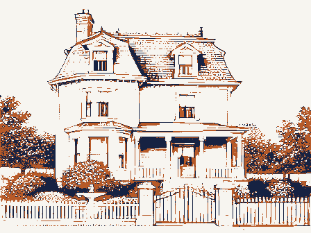
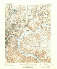
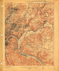
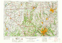
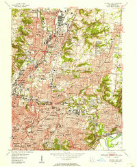
Listed on the National Register of Historic Places in 2016. 7 historic topographic surveys show this location, the earliest from 1898.
One of 371 National Register listings published here for Hamilton County · listed in 2016 · category: Building.
Sources: the National Register database, National Park Service
This property stands in Woodlawn Village. History of Hamilton County, Ohio, with Illustrations and Biographical Sketches, published 1881 gives that township a chapter of its own.
The chapter covers the township.
Machine-read from a century-old scan, so expect the errors a machine makes: misspelled names, dropped words, stray characters.
Read the whole chapter on Woodlawn Village - 5,476 words on its settlement, mills, schools and churches.
Regional context, not property-specific evidence. Museums hold 5,867 specimens collected within 10 miles of Frederick and Harriet Rauh House between 1819 and 1975: 3,055 Fungi, 1,598 Animalia, 833 Plantae, 330 Protozoa, 31 Unrecorded, 19 Chromista, 1 Bacteria. 12 distinct Species records are shown. Collected by A Schwartz, A. Braun, A. F. Braun and others. Each is a physical object with a catalogue number, and each entry opens the museum's record. This is what was collected and kept, not a survey of what lives here - nothing can be concluded from a species being absent.
| Image | Species | Year | Collected by | Where, as recorded |
|---|---|---|---|---|
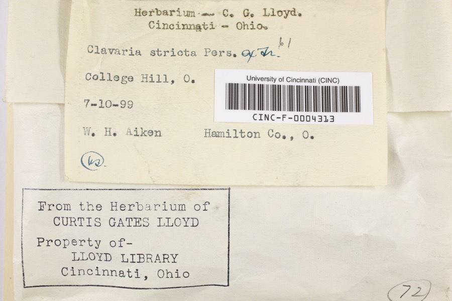 | Clavaria striata Pers. | 1899 | Aiken, Walter H. | College Hill |
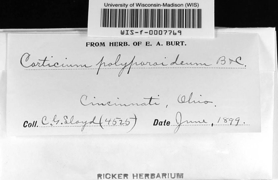 | Corticium polyporoideum Berk. & M.A.Curtis | 1899 | C.G. Lloyd | Cincinnati |
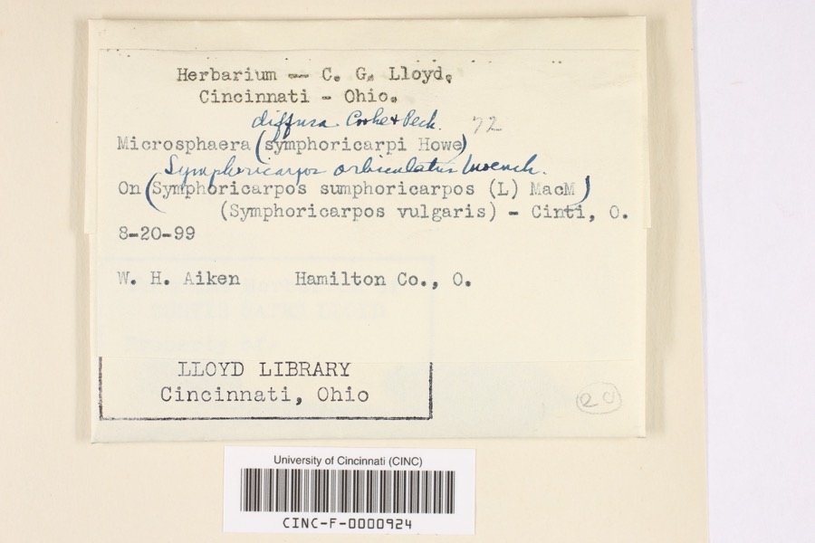 | Microsphaera diffusa Cooke & Peck | 1899 | Aiken, Walter H. | Cincinnati |
 | Quercus × leana Nutt. | 1819 | Thomas Nuttall | 3 miles North of Cincinnati |
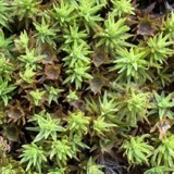 | Atrichum angustatum (Brid.) Bruch & Schimp. | 1820 | T. G. Lea | probably Cincinnatti |
 | Barbula unguiculata Hedw. | 1820 | T. G. Lea | probably Cincinnatti |
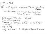 | Sebacina calcea (Pers.) Bres. | 1827 | Lloyd C. G. | Linwood |
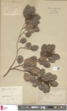 | Rhus venenata DC. | 1830 | Clark, Joseph | North of Cincinnati |
 | Equisetum arvense L. | 1834 | Short, Charles Wilkins; Lea, Thomas G. | Cincinnati |
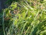 | Carex comosa Boott | 1835 | Collector unspecified | In citivate Ohio prope Cincinnati. [Inferred locality from precise loc.] |
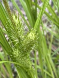 | Carex lupulina Muhl. ex Willd. | 1835 | Joseph C. Frank | Cincinnati. |
| Albugo candida (Pers. ex J.F.Gmel.) Roussel | 1897 | Kellerman, W.A. | College Hill |
All 5,867 specimens within 10 miles, at the Global Biodiversity Information Facility.
Regional context, not property-specific evidence. The federal mineral resources record lists 2 workings within 5 miles of Frederick and Harriet Rauh House: 1 past producer, 1 producer. 1 still produces. What was taken out: Sand and Gravel, Construction. Distance is straight-line from the map coordinates, so a quarry counted here may appear on a neighbouring settlement's page as well.
| Where | Site | Commodity | Status | Recorded |
|---|---|---|---|---|
| George L. Rack Pit | Sand and Gravel, Construction | Past Producer | Sedimentary | |
| George L. Rack Pit | Sand and Gravel, Construction | Producer |
Regional context, not property-specific evidence. The National Weather Service names Woodlawn, the town this property stands in, in 3 storm reports between 2020 and 2025: 2 thunderstorm wind, 1 hail. No death or injury is recorded in these reports. Each account below is quoted exactly as the forecast office filed it, from the NOAA Storm Events Database, and each date opens the federal record of that event.
| When | Event | Place named | Harm | What the report says |
|---|---|---|---|---|
| July 2025 | Thunderstorm Wind | Woodlawn | $5,000 | Several trees were reported down in the Lincoln Heights area. Specifically, trees were reported down near the intersection of Prairie Avenue and Leggett Street, and trees were also reported down along Wabash Avenue. |
| July 2023 | Thunderstorm Wind | Woodlawn | $500 | A few large tree limbs were downed on Springfield Pike in Woodlawn and Wyoming. |
| April 2020 | Hail | Woodlawn | - | no account filed |
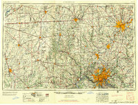
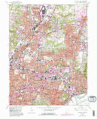
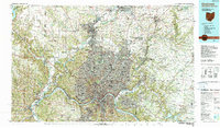
United States Geological Survey topographic sheets whose coverage includes this point. Matched by taking the coordinate the National Park Service records for this property, then testing that coordinate against the published boundary of every sheet.
Other National Register properties close enough to walk or drive between, ordered by distance from this one. Both positions come from the same geocoding pass that matched these properties to their map sheets.
| Photograph | Property | Distance | Listed |
|---|---|---|---|
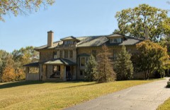 | Edward R. Stearns House | 1.2 miles | 1986 |
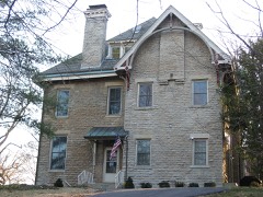 | Robert Reily House | 1.3 miles | 1986 |
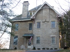 | Twin Oaks | 1.3 miles | 1975 |
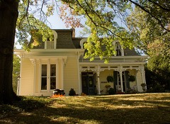 | Professor William Pabodie House | 1.3 miles | 1986 |
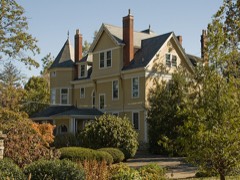 | Josiah Kirby House | 1.3 miles | 1986 |
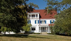 | William Stearns House | 1.3 miles | 1986 |
| National Archives record | The nomination case file for reference 16000597 in Record Group 79. |
| Hamilton County | All 371 listed properties in this county. |